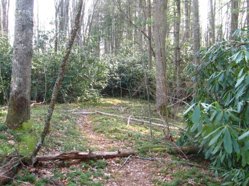
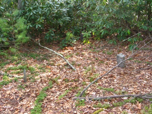
This post covers one of the most shocking discoveries, certainly, from my Frank/Herman Park explorations. A fairly well traveled path, it seems, splits off from a main path near my Whitehead Crossing and quickly follows a ridge above Green Stream into the rhododendron. Already questions are arising: Why does a well trodden path just dead end as such? Do people just get off the path here, travel down it, and then find out that they — and everyone else that has done the same thing — just reached an impasse? Let’s let that question stand for a minute…
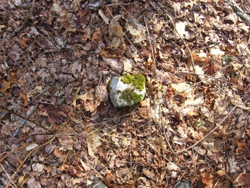
An interesting rock at the beginning of this side path. It seems to be some kind of marker. After finding out what else is on this ridge, beyond the rhododendron at the end of the above pictured side path, I believe I know what it could mark now.
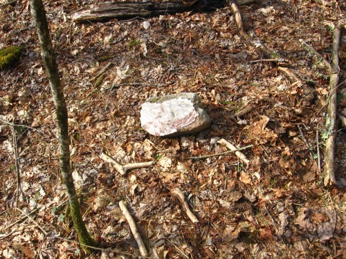
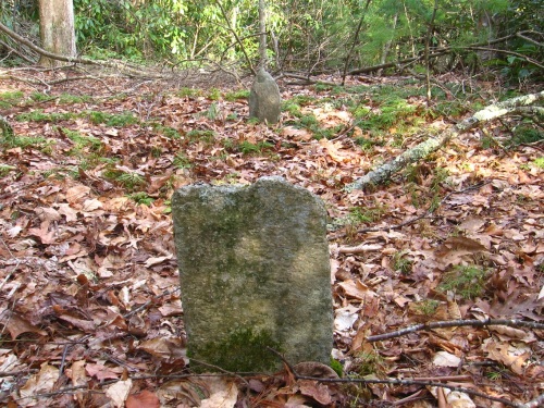
In the valley below the ridge on the other side from Green Stream is found a camping spot, complete with a number of interesting rocks such as this one. Some of them could pass for primitively shaped headstones, for example.
Which brings us to this.
Remember me bringing up Head-Foot symbols a couple of posts back? Here’s a reminder.
Yes, it’s what it looks like it is. Two, in fact. The place has been called Dogpatch. It’s what lies beyond the rhododendron if you kept following that same ridge further south. It’s almost completely inaccessible from all directions — there are, in fact, only two rather narrow ways in through the woods, both of which come up the ridge from the sides. Another camping spot has been created sometime in the past (pictures forthcoming, perhaps) in the same general area and on the same ridge (at the top of one of these two entrances), but far enough away that I’m not even sure that they knew what they were camping near. Perhaps they wouldn’t care. I think I’d care, without knowing more details. And for one of the two, there’s really no more details to find. That’s the major mystery part, it seems.
We have a dichotomy or contrast of something known and defined, and something unknown and not defined. We seem to have something smaller and something larger. We have a head and a foot in both cases. We have a mystery.
Dogpatch, Arkansas, according to the GNIS database, has a long list of variant names, but a list that can nevertheless be whittled down into 2 groups: those related to Marble Falls, and those related to the pre-Dogpatch and pre-Marble Falls designation of Willcockson, as displayed on this 1895 map.
We move beyond “Dogpatch” for now back to Concreek and this nifty view of an orange-red and pretty large salamander trotting around its bottom. It was kind enough to pose for me.

