Category Archives: Blue Mountain

Notes

Well… the deal for a quick sale of the house fell through. And with it we’ve decided to stay put through the winter. Our house is cozy during that season, and we understand the quirks of the roads here in the snow and ice. Instead we’ll make it into the late winter or early spring before setting the house up for sale, probably through a realtor this time. And we plan to make some *repairs* to the house ourselves. Tomorrow I’m still going to work on the gutters as I had already planned. The deck can wait until late winter/early spring. We’re going to try to make it through another winter with that as well. We’re going to fix the downstairs bathroom up to make it usable again. We’re going to get more organized in terms of papers and books and such. We’re going to get new carpet — stain resistant because of the cats. And we’ll be *okay*. The House on The Hill may still be waiting for us in the spring. It’s sat there for a year already, unsold. And we have time to look at other houses, and get to know various neighborhoods around here better. We’ve looked at the outside of a number already, and haven’t been nearly as impressed with any of ’em in comparison to The House on The Hill. We’ll go visit it, and make sure it’s okay and gets through the winter for us. We know it’s there. We know we still want it. It’s just there was no shortcut to get from this place to that place. We had to take the normal route.

We have to sit down and start *planning* our retirement years. Expenses and shut.

In terms of creativity, I’m going to go ahead and start making it a priority to protect the carrcasses. I know that’s the best art I’ve done, along with perhaps the collages. But probably the carrcasses, since they’re such time capsules and summarize certain cultural patterns in unique ways through this “platinum style” tiling method I’ve refined down through the years now.

Leave a comment

Filed under Blue Mountain

BMUL in GoogleEarth 01

East AOL, with Leola Creek running across the photo northwest to northeast.

bmul01

West AOL. This is also what I’ve been calling Peanuts in the Sunklands blog, an important location and perhaps home to several deer as well. Hemmed in by society as it were, in a pocket reality.

bmul03

Still moving up Leola Creek, we now come to the meeting between it and Blue Mountain Creek (right), of about the same volume of water apiece. A true fork in reality. Below this point it could have just as easily been Blue Mountain Creek instead of Leola Creek. Can we visit this parallel world, ala a Fringe event? What would be the differences between the two, if so?

bmul04

We keep moving up Leola past the important fork with Blue Mountain. We’ve reached what in former days was called the Maynard Jackson Mall (left), now just called the Town Mall. Why the change (I ask myself)? In the mid-1980s, I use to work for Maynard Jackson personally, although via an intermediate boss known as Roach. Now I find out that a piece of property actually in Roach, Missouri is supposedly for sale on a street just west of the mall, at least according to Zillow. Obviously this cannot be. Let’s examine that illogical situation more here LINK.

The larger rocky beach with one of the two mysterious spheres in the creek is almost dead center in the below photo. Again, I believe you can faintly see the reflection of this sphere in the photo as well. But like Uranus it’s hard to spot. LINK

bmul05

The grassy area (center) containing Canine and Molar Pools from GoogleEarth. We are almost directly south of the photo just before this one. Hmmm… more collage possibilities?

bmul06

And then we just keep continuing west along Leola Creek, reaching the geodesic domed church and the picnic areas across the stream from it that include the 6 sided table and also matching red and blue tables we’ve seen before in this blog.

bmul07

In the center of this particular photo: Point-0, marked by a prominent Blue Mountain bridge spanning Leola Creek. We’re about a third of a mile east of AOL now, heading downstream on this waterway instead of upstream.

bmul08

The greenway trail that starts just beyond the eastern border of AOL continues to parallel Leola downstream past Point-0. The pool in the lower right corner of the photo is pictured here LINK.

bmul09

Mouth of Leola and an ending loop of the Blue Mountain greenway system.

bmul10

Leave a comment

Filed under Blue Mountain

Gun with a gun

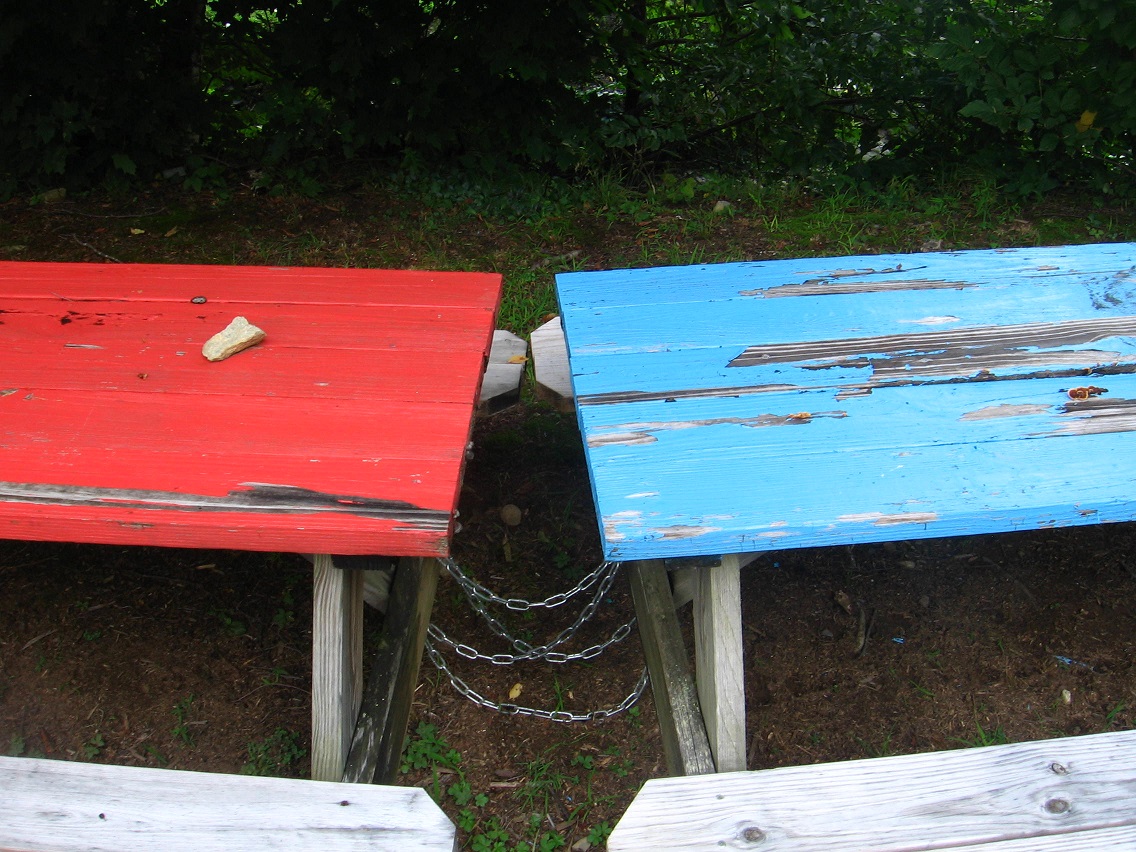
I keep walking the Urban Landscape each weekend day, weather permitting, including yesterday. No pictures, however. Hopefully today.

With the completion of Karl and I’s dual interviews, I feel like a public part of a/v synching has been wrapped up again. I don’t want to say it’s the end of my facebook and email interactions with synchers, but it could be. We need something shocking to come along and wake us all up again, perhaps involving Dark Side of the Rainbow. Randy Teaford’s yearly exhibits sound cool but something else is needed. There’s a chance some of us could do a joint interview about that most hallowed of synchs, as I put it in my own interview.

But I must face the fact that I’m working alone now on the Sunklands site, most likely. Few will read the newest interviews. Everyone’s lives are busy.

So I must move forward. We’re getting the house ready for a sale. We are preparing to buy a new one. What of the art? The Pierre era synchs (Piera synchs) are now protected digitally in several ways. The carrcasses are a more delicate matter. Carrcassonnee remains slightly concerned.

Where is it heading? Once more, I think we’re going to Middletown still, and basically do a 1:1 trade out between The House on The Hill and a brand new modular home on our primary lot there. That’s the master plan. Carrcasses will continue for the rest of my life but in a calmer rhythm. I don’t plan to listen to as much rock music as I did before — more soft classical. Inspirations for new a/v synchs may be harder to come by. But right now I feel another one is brewing. Once more, however, it must remain a secret development for the most part. This will be Carrcass-12.

Bits and pieces of reality are falling into it. The definition of a tile must be better understood.

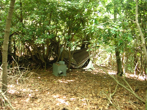
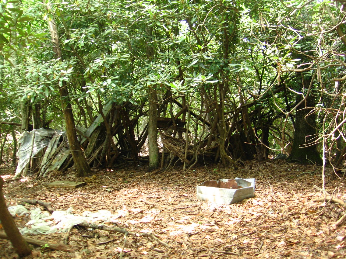
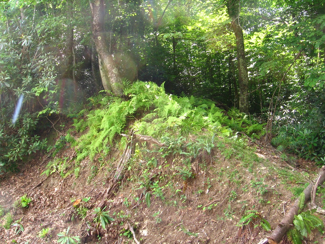
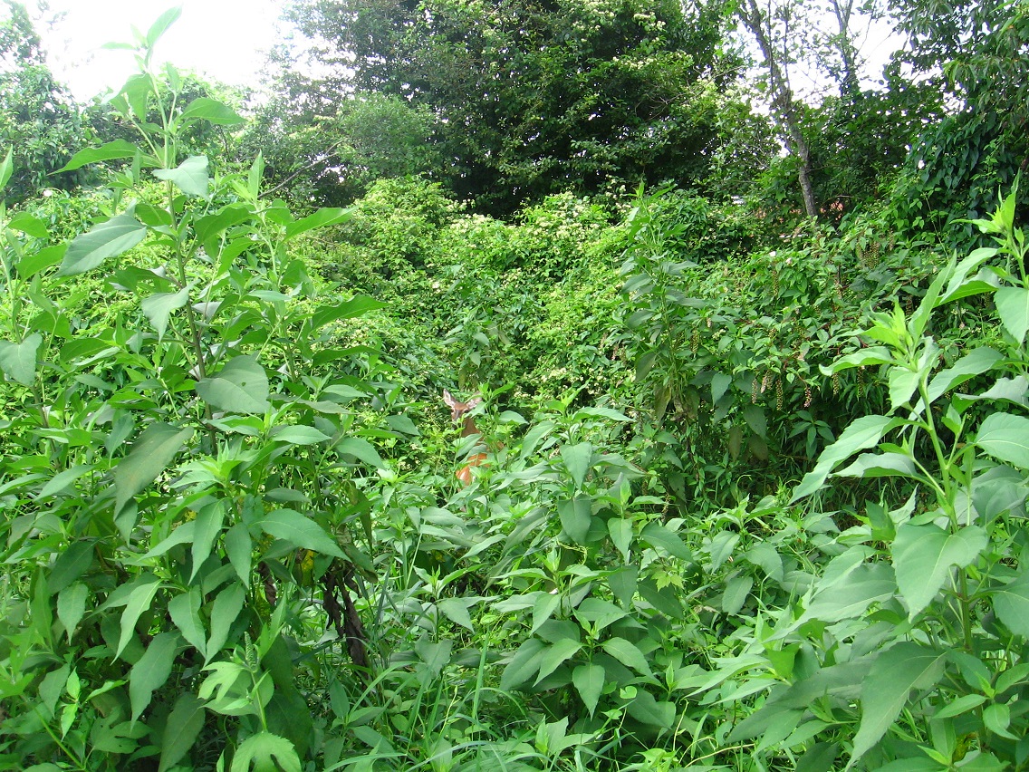
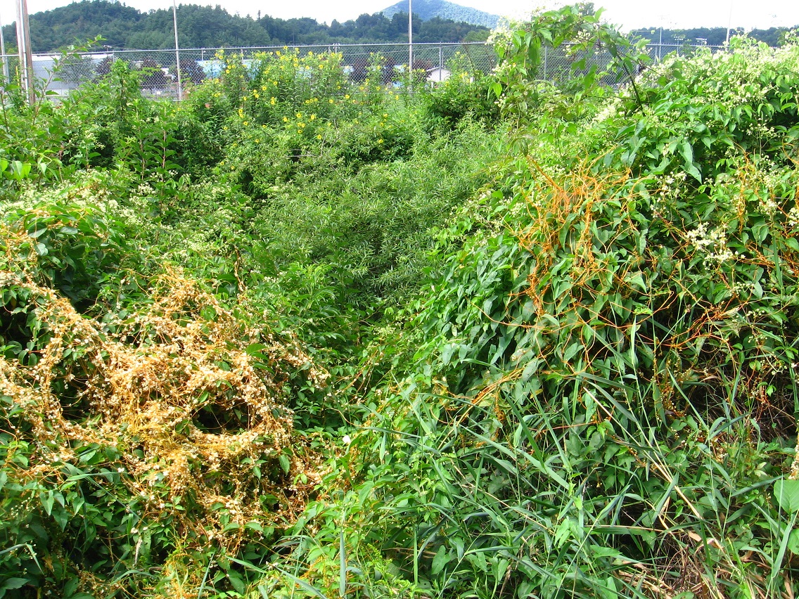
I’m unsure still about a tie between the large mythology surrounding Frank and Herman Parks I’ve developed now and the new idea of a Blue Mountain Urban Landscape. Are toy avatars in this landscape? It seems much more tightly controlled by humans — obviously. Leola Creek, however, has energy.

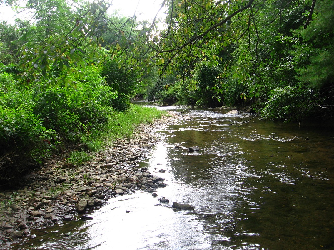
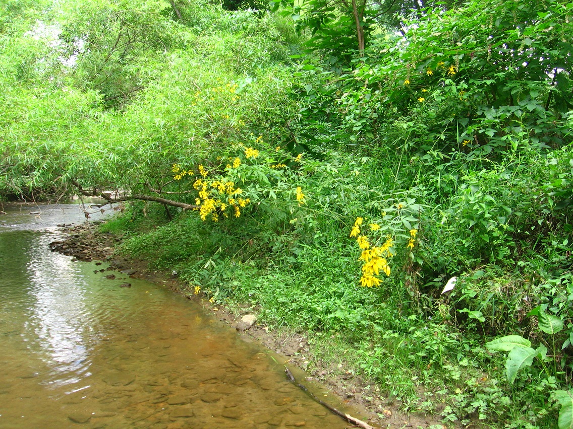
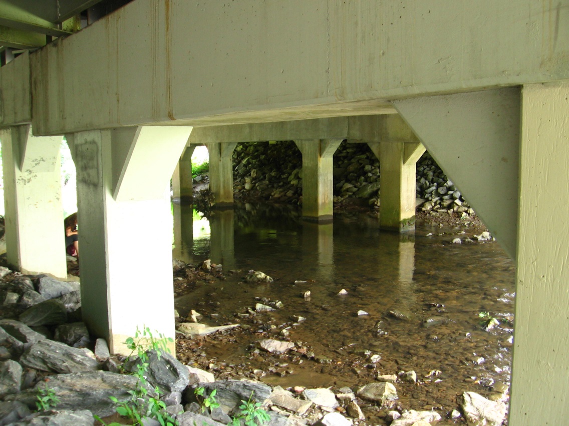
Let’s look at it this way. Leola Creek has its origins in *Herman Park*. Although its name changes over its main course, the stream can be said to have its source on Wealthy Mountain. There the flow is the same as what we’ve been calling Green Oz Creek, which is directly attached to the concept of WIS. Tinsity is on Green Oz Creek, about 1/2way between the tip top of Wealthy Mtn. and the large Herman Park pool known as Health Lake. Then the output of Health Lake, which is the same stream technically, directly becomes Leola Creek when it joins with another smaller creek at the head of Rocky Branch Road.

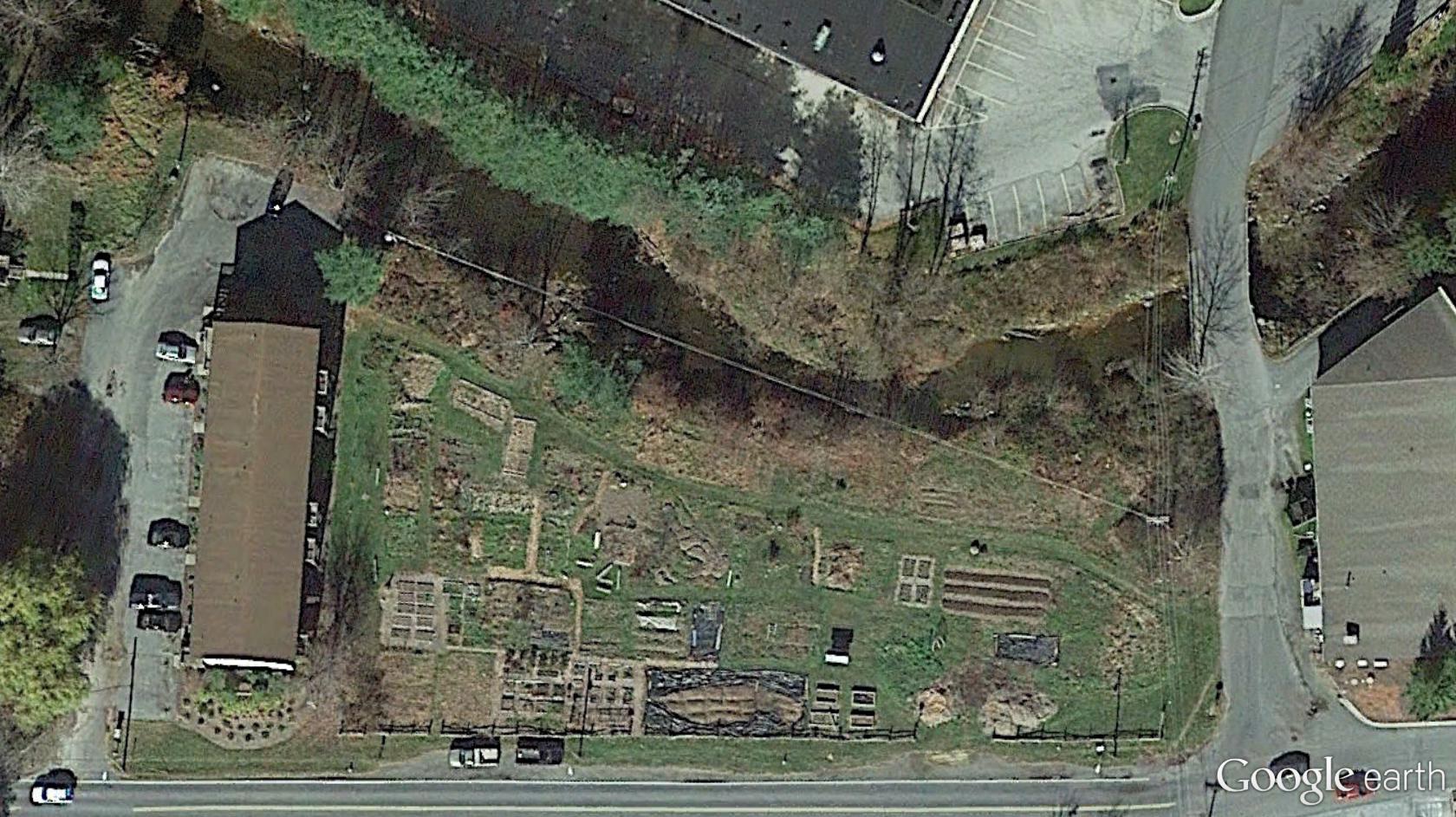
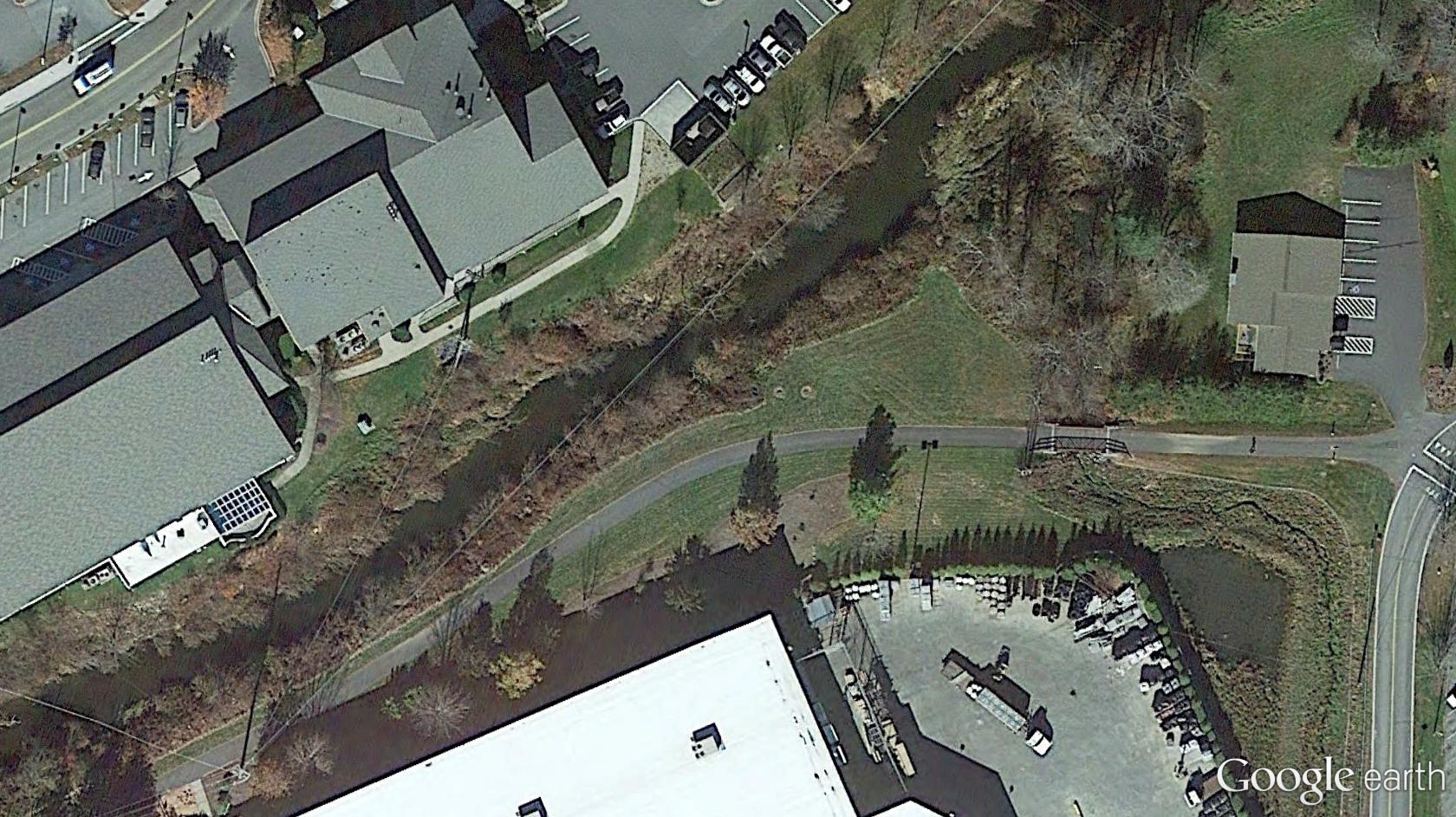
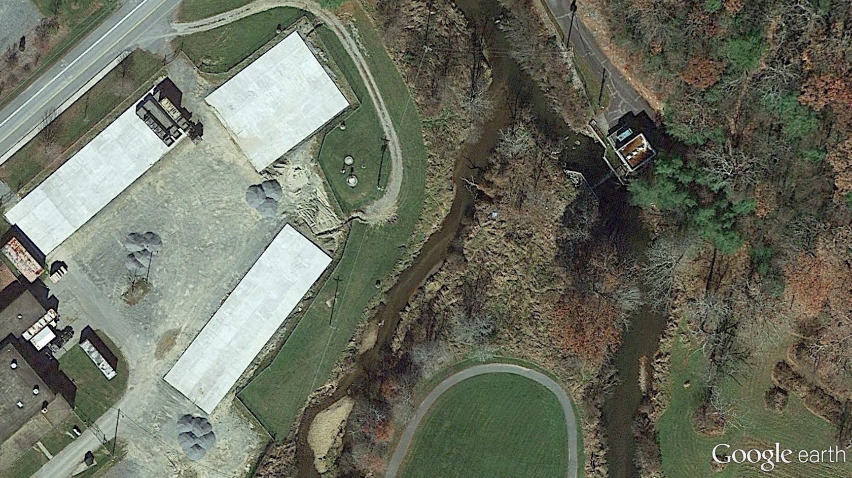
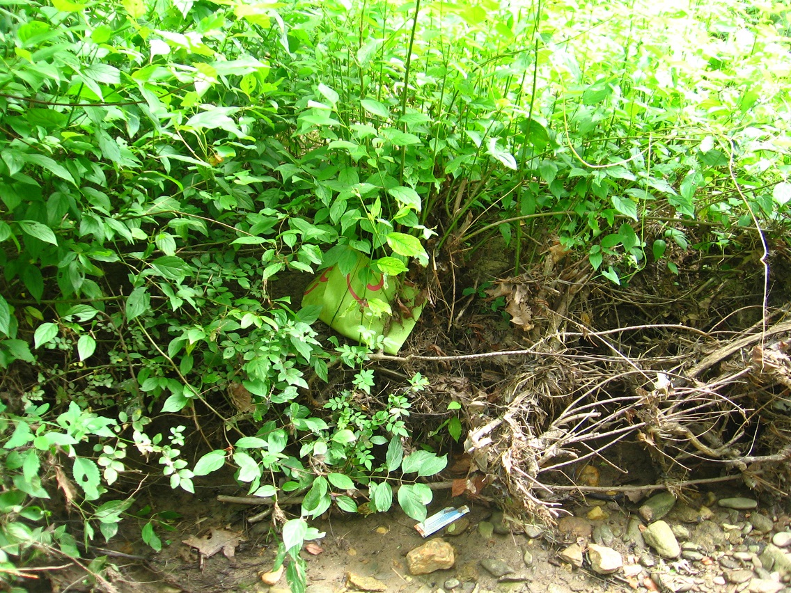
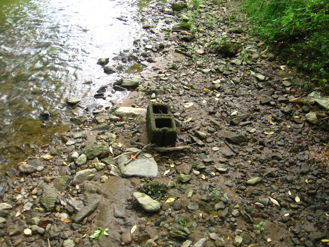
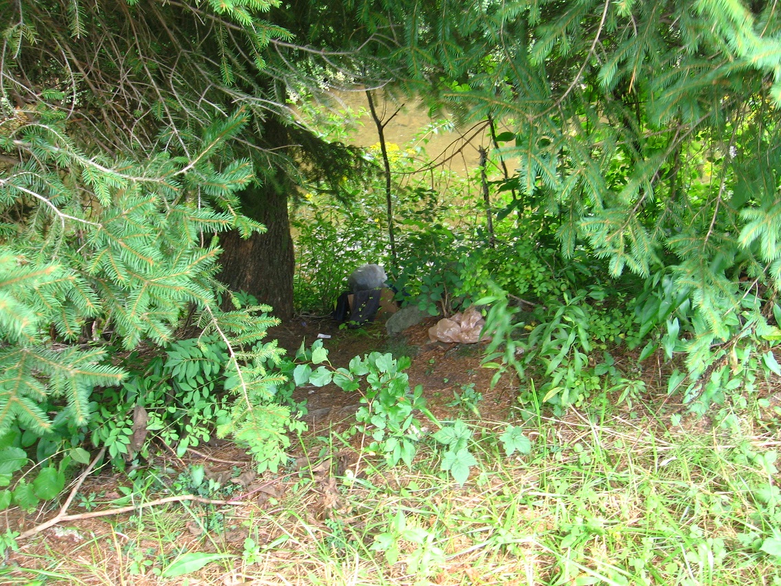
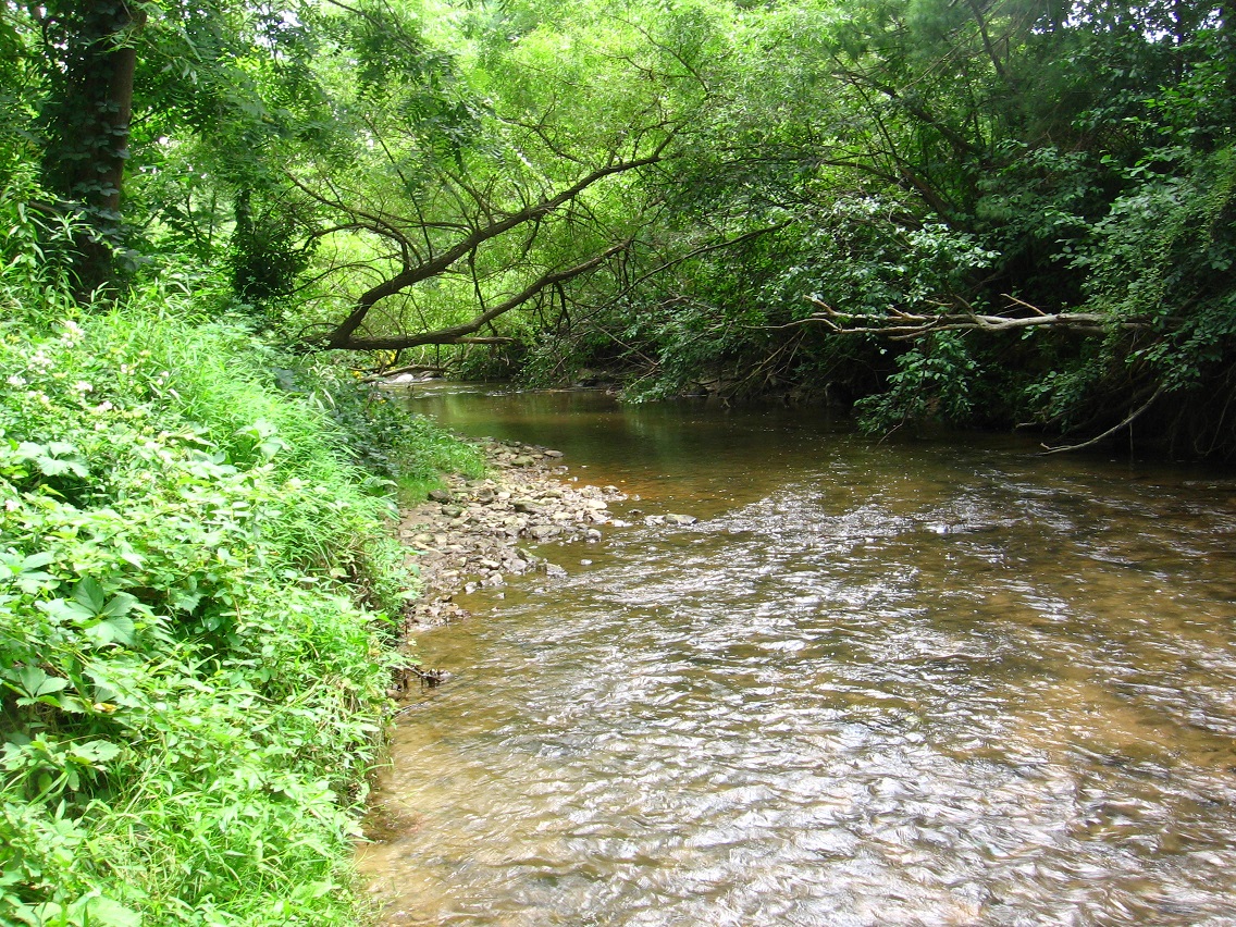
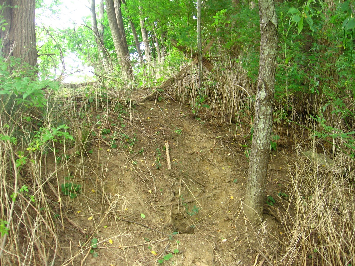
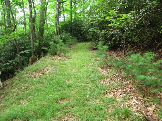
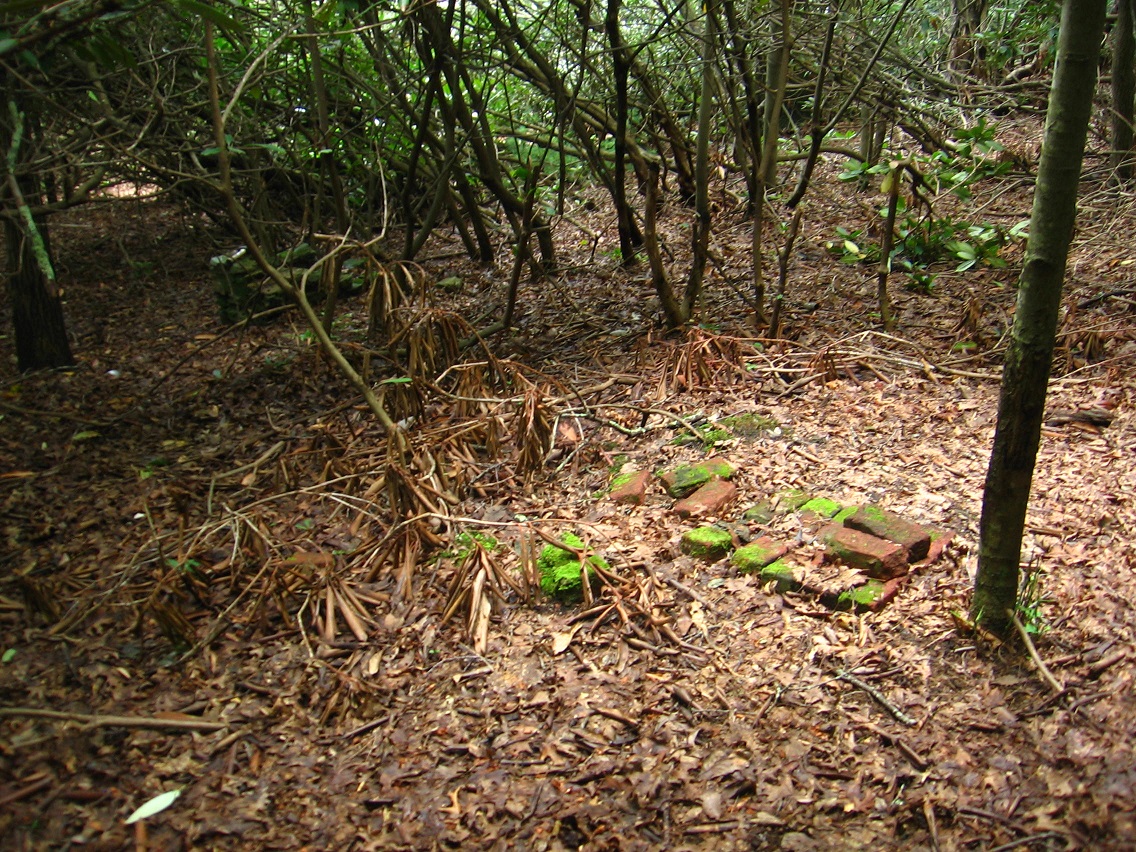
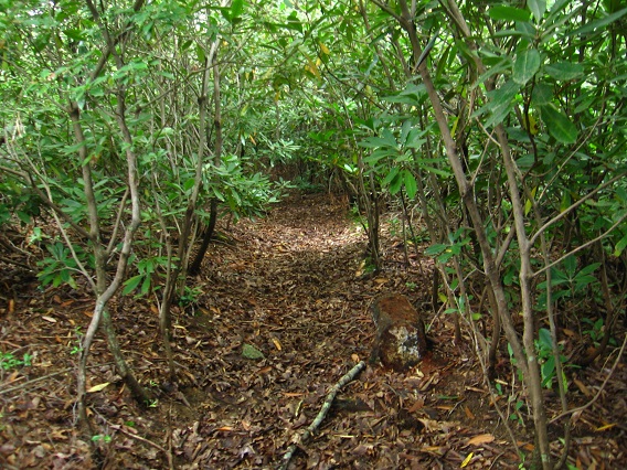
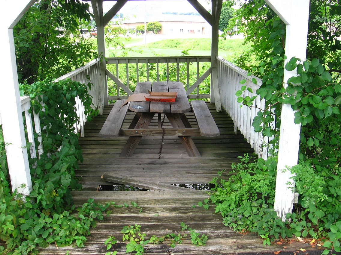
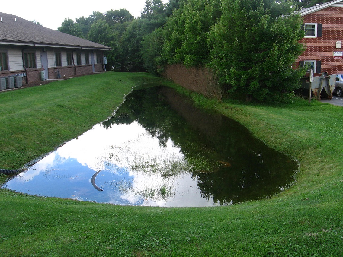
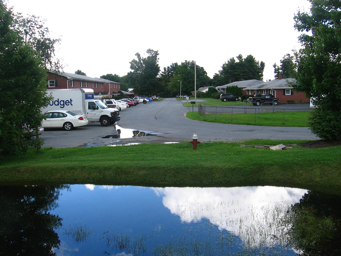
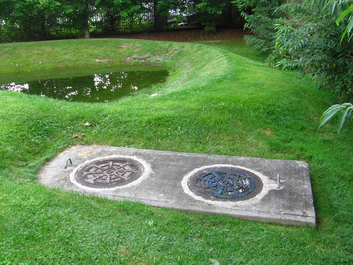
So in these 2 posts here and here with Rocky Branch Rd. photos that I never generated text for, we are looking at Leola Creek. Leola Creek is the rocky branch named.

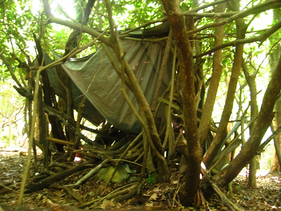
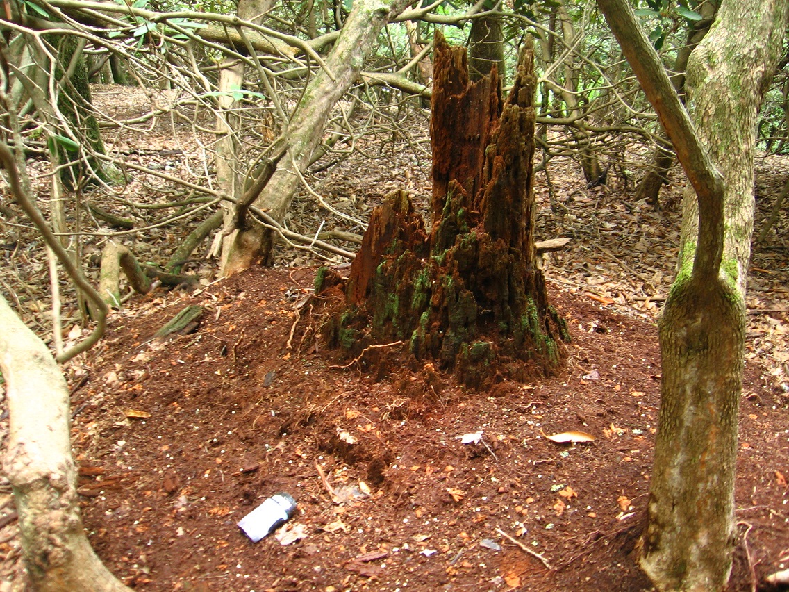
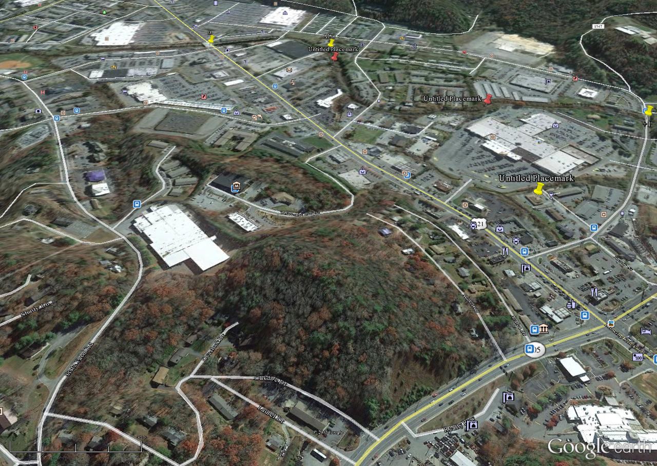
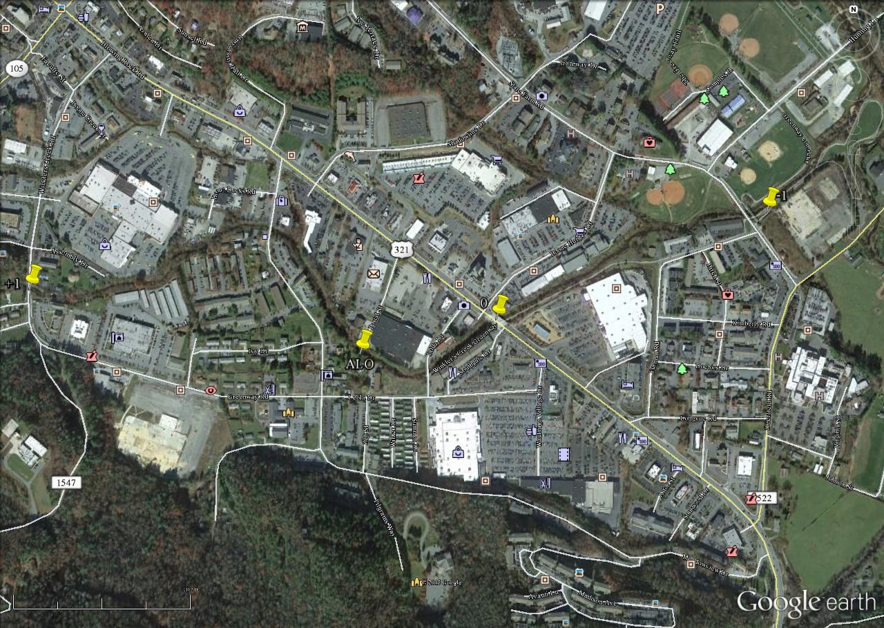
I tried last year to develop a, er, branch mythology surrounding the approx. 2/3rds mile long Rocky Branch Road, a fascinating byway that has enchanted both Edna and I for a considerable time now. But because it is private and parking is lacking, we found we could not regularly hike it. So the mythology aspect was cut short. But the main point I wanted to make is that *this is the same Leola Creek*. The passage of this creek along the entire length of the road is not dissimilar to the passage of same through the official Blue Mtn. Urban Landscape, or between Point+1 and Point-1 on our “official” map here. A distance of about 1 mile as the crow flies. And the distance between the head of Rocky Branch Road and Point+1 is about 1/2 of this, or only about a 1/2 mile.

The Frank and Herman Einstein Blog started at the start of Leola Creek then, since its focus was Tinsity and Lion’s Roar at the beginning, the latter situated on a stream feeding into Leola Creek a little below Health Lake. The beginning of the current blog is the same as the beginning of this creek. Where are we now? At its *mouth* in the Blue Mtn. Urban Landscape. There must be something to this. Frank and Herman Einstein Blog has also deadened at this Landscape, since it has been essentially absorbed into the Sunklands site as of the end of May. It is now the Sunklands blog. The Frank and Herman (Einstein!) experiment is over. Second Life mythology was *not* expelled within as anticipated. Collage generating grew exponentially. It turns out that the peak of Frank and Herman mythology came just before and after the creation of the namesake blog — with Billfork, Whitehead X-ing and Con Creek on the farside and with Tinsity and Lion’s Roar on the near side from us timewise. True, Whitehead X-ing keeps developing as a woodsy center, and the discovery of a conjoined Red Head this past summer certainly opened up an important new chapter. Just to note, Whitehead Crossing and its Green Stream is not in the Leola Creek system. But it still seems resonant through WIS. Tinsity is not that far from central Red Head.

Where are we going?

Leave a comment

Filed under Blue Mountain, Concreek, Frank Park, Green Oz Creek, Herman Park, Wealthy Mountain, Whitehead Crossing

Not Why.

I was also going to chat with Hucka D. about the house situation — *houses* — but I felt like I shouldn’t undercut Carrcassonnee’s own comments. So I’ll just chat with myself. Here’s the deal. We have a chance to sell our current house and then buy a new house we’ve had our eye on. The House on The Hill.

We’ll have to sell cheap. But we bought it cheap. We’re moving up. But then we can sell up. If we were smart we’d have sold about 10 years back. But where to move at the time? There’s another house in the neighborhood that might sell for close to twice what we get for ours, but with a similar floor plan. That’s what we’re looking at.

My “new” job and new office are stabilizing. Just have to catch on to my main new part of the job; I won’t describe it in any detail except to say that it’s an extension of what I do presently.

Is it worth working another year for, however? When we bought the present house I was a *contract* person, working year to year without any guarantees. Now it’s pretty clear sailing to the finish line. 5 1/2? Probably 6 1/2. Maybe more now? Edna is 7 1/2 years out.

We still plan to move to Middletown after retiring. We still own land there that we can build on.

Creativity: I’m very pleased with the Sunklands site. Must protect. Must build upon it. Protect the collages, the a/v synchs. Protect the writing.

This could be the last hurrah in Blue Mountain. We’ve both basically lived here since we were 17, subtract a couple of years here and there. This will be a way to sum it all up. The House on The Hill.

Before we bought the present house, Edna reinforced to me last night that we’ve never lived anywhere, after we came to college and left the home nest, for longer than 3 years. We’ve been in this place *18* plus years now. But this is the first house we’ve owned instead of rented.

What is the grand plan? Still to move to Middletown, of course. But there we want to build a *new* home, and probably a modular one. Low maintenance for our old age. The House on The Hill is, in contrast, a quite old house for Blue Mtn. 90 years old. Just the kind of house we’re *attracted* to, but we said we wouldn’t buy because of the maintenance costs. Yet here we are. On the brink of making an offer on one.

Is it a siren lure? We’ll be there 8-10 years, then hand off to someone else. We plan *minimal* repairs — only the necessities. The upstairs will remain unfinished except for that one room which will be *my study*.

We’ll have to rewire most of the house. We’re thinking of taking that off of the cost.

We still have some decisions to make.

Leave a comment

Filed under Blue Mountain

Why Not?

“Carrcassonnee, you’ve been helping me a lot on recent projects and I thought I’d ask you about the potential new house. Do you have any ideas… well, let me ask some specific questions.”

Carr.:

Waste away. Goodnight!

bb:

Goodnight to you too!

Carr.:

!

bb:

Our house is wasting away?

Carr.:

Yes. Get out while you can. But don’t take less than what you’re presently thinking in your mind. It’s worth more than the one next door.

bb:

Excellent words tonight Carrcassonnee!

Carr.:

You’re welcome! I learn less bad words. I’m like Karl 50,000 years back.

bb:

And then the new house…

Carr.:

Buy. Buy buy buy!

bb:

150000?

Carr.:

Back.

Leave a comment

Filed under Blue Mountain

Leola Creek 02

And here’s Big Beach, a fairly impressive run of rounded rocks. A toy happening might be in the works for this place soon, or perhaps for all of Peanuts in a collective manner.

IMG_0149smaller

The start of a path on the northern end of this beach that quickly leads up to a rocky cliff.

IMG_0150smaller

IMG_0151smaller

A prominent rock of the rocky cliff can be seen in the background. This is taken from Big Beach.

IMG_0152smaller

Looming Peanuts trees. Probably taken from Big Beach as well.

IMG_0153smaller

Big Beach butterflies.

IMG_0154smaller

Big Beach smashed soda drink can. Maybe a Mountain Dew? Or perhaps a Sundrop.

IMG_0158smaller

Matching pipe and rock across the stream from the beach.

IMG_0160smallest

Big Beach from the south. Hard to tell from this picture but there’s definitely a storm brewing in the background! The skies would open up just as I got back into the car after my wade. I’m *such* a lucky boy!

IMG_0162smaller

We’re back downstream from Peanuts now with this photo of an old cinder block. As you can imagine from an urban landscape, many man-made objects are found in or near Leola Creek.

IMG_0167smaller

Unnamed Leola Creek rock in ALO.

IMG_0172smaller

And now a shot from near Point+1 in our Urban Landscape: merging culverts.

IMG_0174smaller

Leave a comment

Filed under Blue Mountain

Leola Creek 01

Before we get to the newest wading of Leola Creek, here’s one more picture from The Hill that I wanted to show because that rock I placed in the hole of this tree was *gone* upon a return trip. Now I’m not saying that kids didn’t remove it or something, but I’m just trying to note oddities as they happen. And they do happen. Could it be a communication directly from The Hill itself (whatever that means)??

IMG_0103smaller

Now to Leola Creek and the core of the Urban Landscape. I’m afraid that types of homeless people might at least stay in the Landscape sometimes, as witnessed by what seems to be a box of clothes, spied from the main trail as we look down at Leola Creek flowing below. Not that I don’t feel sorry for the homeless. Heck I was kind of one myself during periods of my youth. But there’s also a small danger factor involved. Good to be aware of possible natives.

IMG_0114smaller

Happy pink whale on a sign. Perhaps the town has had past trouble with people sleeping under this bridge, which would be at Point-0 in our Blue Mtn. Urban Landscape. We are at or near its heart, which would also include the neighboring ALO region.

IMG_0115smaller

The plants around the wetlands originally pictured here have been mowed. A shame.

IMG_0116smaller

Coral mushrooms have sprung up beneath a nearby grove of trees. Fungi are so peculiar!

IMG_0117smaller

We return now to that wider strip of land between commercial property and creek just north of ALO, or perhaps part of it — unsure still. Oh, I remember I call it Peanuts now, because of the actual owners of the land. Inside blog joke. I spotted 3 deer at the south end of this strip as I waded upstream in Leola Creek toward it. Amazing how animals adapted to their environment. I would not have guessed that there was enough wildland here to safely sustain them. I didn’t manage any pictures of ’em, however.

The tree pictured below, a willow I believe, lies instead toward the northern end of Peanuts (originally: Peanuts’, as in Peanuts’ land?).

IMG_0119smaller

This is what I call Small Beach, not far from the willow. Peanuts also contains a complementary Big Beach that I’ll get to in a moment.

IMG_0122smaller

Pipes — I still didn’t take any really satisfactory pictures of the numerous drainage type pipes marking Peanuts’ western border. But soon! I also want to craft a map of the place.

IMG_0128smaller

A path starting up a bank connects Peanuts to a narrower wooded area to the north. Obviously this is used by deer. I didn’t want to walk too far up it because I could possibly be spotted by fellow human beings from a flanking parking lot.

IMG_0130smaller

Yellow flowers growing on the stream bank between Peanuts’ Small Beach and Big Beach.

IMG_0148smaller

Leave a comment

Filed under Blue Mountain

The Hill 02

The miraculous top of The Hill. I didn’t expect *this* at all: some kind of old children’s fort or perhaps a squatter’s former home. Complex and also dilapidated enough that it’s difficult to tell exactly what it once was. I’ll let my overexposed pictures attempt to speak the story for now.

IMG_0081smallest

IMG_0082smallest

IMG_0084smaller

IMG_0088smallest

Angel lying in front of what appears to be a door. Front? Again I can’t really make much heads or tails of the structure.

IMG_0090smaller

Nearby rotting trunk with an old stick of deodorant.

IMG_0093smaller

There’s what appears to be some native rocks in the vicinity as well.

IMG_0094smaller

Back down at The Road.

IMG_0109smaller

And now further down at The House. Is this our yard???

IMG_0111smaller

The Hill in reference to the Blue Mountain Urban Landscape. Technically it is part of that landscape I would assume. ALO on Leola Creek is in the center of the background.

hill05

Leave a comment

Filed under Blue Mountain

The Hill 01

The Hill is a marvelous marvelous place in the center of Blue Mountain city. It’s clearly magical and has ways to protect itself from development. But for how long? That has become a key question. A key question indeed. 10 years out — well that’s probably okay. But if it starts to get developed next year then that’s more of a problem. Much more. Of course I’d rather not see it developed *ever* but this is a growing city and The Hill represents an improbable spot of leftover nature. It will be razed. Just a matter of time.

We start nearer the bottom of the hill at The House. The House? Is it our house? It is in a probable reality. More on that soon. The bricks here might become part of a New Monkey City. Have I mentioned Monkey City on this blog? A couple of time, especially in connection with “another” New Monkey City over in Frank park near Whitehead Crossing.

IMG_0041smaller

A pretty straight path goes in a northeast direction up the hill from the road below, reaching a point formerly called The Beach. The Beach on The Hill, ha. I haven’t visited this place in maybe 20 years. Maybe 30. And it’s really changed. I remember it to be covered with moss and lichen, which are nowhere to be seen now.

IMG_0044smallest

Before starting up The Path we detour to a bank (The Bank?) that gives us a nice view of a commercial strip below us and then ol’ Blue Mountain itself rearing up in the background.

IMG_0046smaller

After about the length of Blue Mountain State College’s football field, this path crosses the grassy remains of an old road that runs around the south and west side of the hill. I suppose this becomes, then, The Road. More capitals.

IMG_0048smaller

If you follow the old road northward from here you soon come back into civilization in the form of Blue Mtn. residents’ backyards on a bordering northern street. Here we see faux deer in one of those backyards. Didn’t come when called.

IMG_0051smaller

We jump to the top of The Hill now with this picture, or more specifically, the edge of a pretty steep bank marking its western side. I thought I’d include the photo because of possible light spirits involved. Spirits of The Hill. Probably not, but also probably worth a thought anyway.

IMG_0061smaller

Moss covered rock at the base of a tree passed as we approach the top from the other side.

IMG_0066smaller

Then following The Path *down* from the top soon brings us to The Beach. I suppose I’ll still call it that even though it has nothing of the appearance it did before that gave it a beach-y feel.

IMG_0068smaller

Purple mushroom on The Hill.

IMG_0071smaller

Red leaves on The Hill. Is it Fall already? Jees.

IMG_0077smaller

Leave a comment

Filed under Blue Mountain

BL Urban Landscape Again

Picnic table near Point-1 is getting more rickity. Pizza time! Maybe they didn’t like their pizza and pitched a fit there. Put their foot down about it, ha.

IMG_0009smaller

There’s that deer again! And in the same exact spot. LINK I’ve seen quite a number of deer now in the Urban Landscape. Surprising since there’s so relatively little of the woods there. Deers adapt.

IMG_0011smaller

I believe this stringy yellow plant is called Golden Dodder, a parasite.

IMG_0015smaller

I took this picture beneath the Point-0 Bridge and didn’t realize the woman to the right (between columns) was sitting there beside the creek until a minute later. I’m not sure what she was doing, but later I spotted plants arranged on a rock near where she was sitting. Offering to the creek?

IMG_0024smaller

Green. Just green.

IMG_0025smaller

Canine Pool has been filled to the brim with recent rain. We’ve had some downpours lately.

IMG_0027smaller

It’s obvious that during heavy rain Canine Pool spills over into the road, perhaps flooding these apartment houses at times. Not wonderful.

IMG_0028smaller

And this day I was very excited because complementary Molar Pool was also filled with water. It’s shallower still of course. I’m not sure why one manhole cover in front of it is colored blue. Is this symbolic of the pools themselves which it’s positioned between? One blue (with water) and one not usually? Who knows what messages the Urban Landscape taunts in our face to recognize?

IMG_0029smaller

This is a car nearer Point+1 celebrating the life of a famous Blue Mtn. State College football coach. I’m not sure why the car is painted dark brown instead of blue. Oh… blue paint again (!).

IMG_0035smallerb

And again! (picnic tables even nearer Point+1)

IMG_0040smaller

Leave a comment

Filed under Blue Mountain