“Excuse me, sir. If I could interrupt you for a moment.”

—–

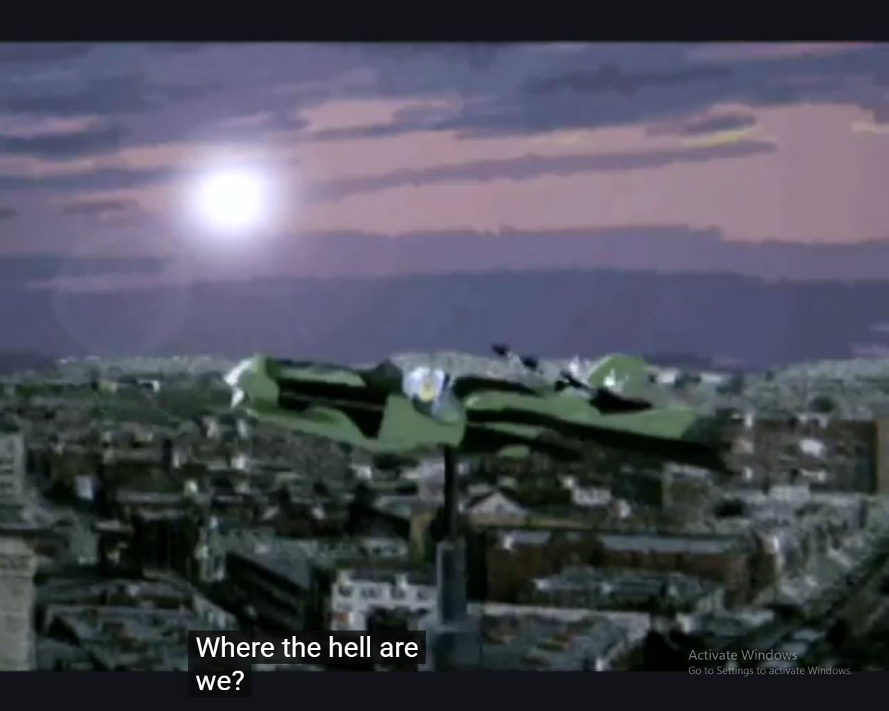
“And so as you can see, basically when we cross the Dewberry stream we’re already upon New Site and Chapter 03.” Baker Bloch looked around at the assembled members of The Table, a larger number than usual just because this was such an important new development: the potential end of Our Second Lyfe. “Questions so far?”

“Are we still in Randolph County?” queries Wheeler directly across the table from Baker, still dressed as Atlantis High Priestess and fresh from another shooting scene.
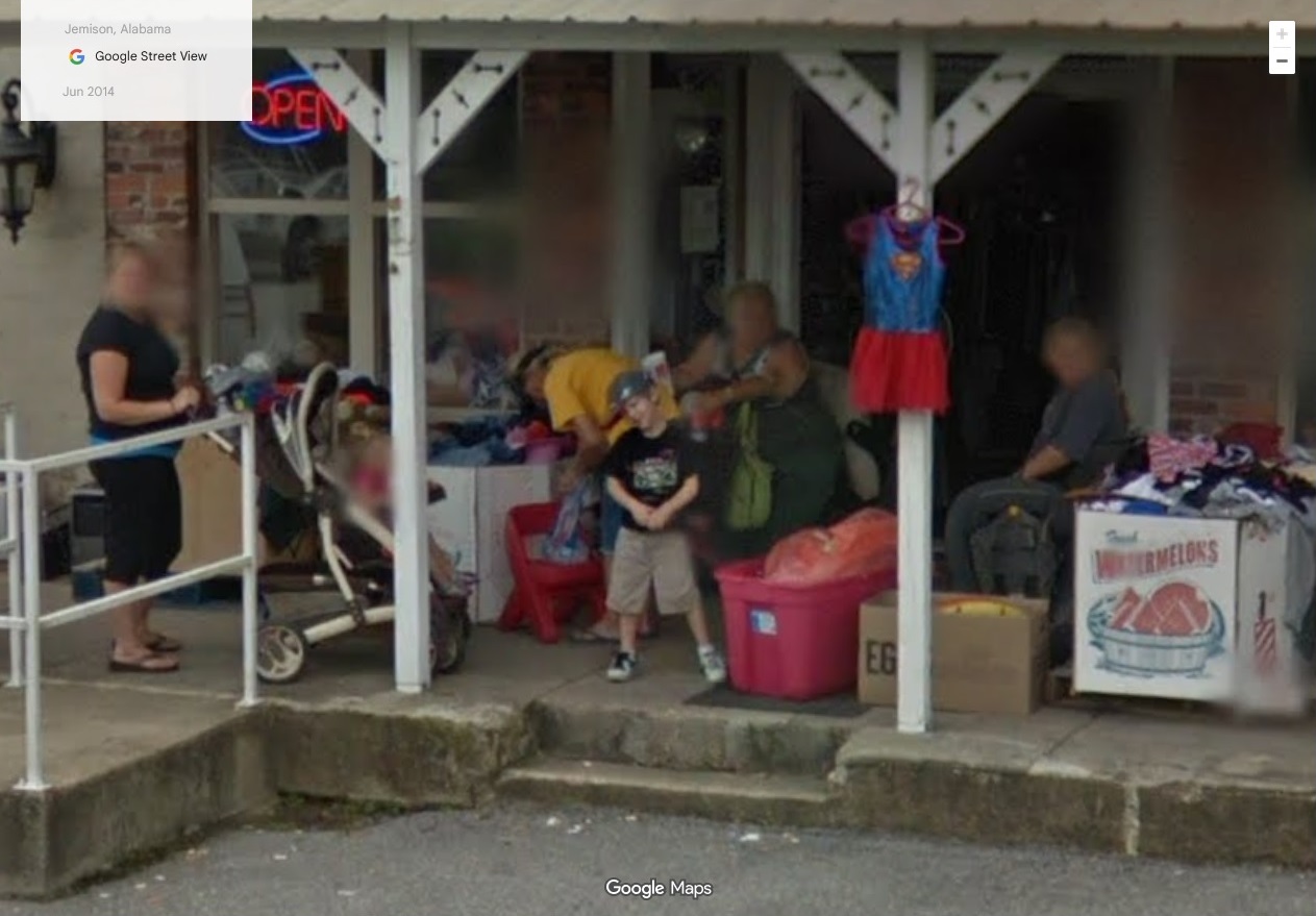
“Tallapoosa, actually,” replied Baker. “Same with The Barroom, same with Mary, Camp Hill, Slaughters.” I through the brain of Baker Bloch make a note to look up all US Slaughters after all this is done.
“Hmm,” said Wheeler. A pause here.
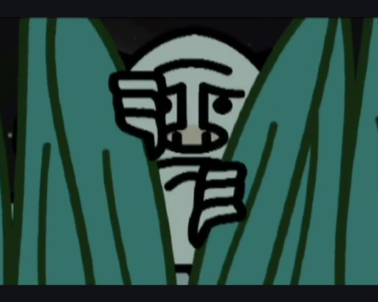
“Grassy?” Baker spoke to the green Mmmmmm being sitting to Wheeler’s left. “Any thoughts?”
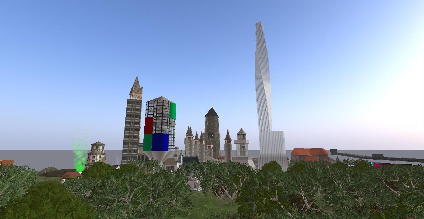
But Grassy was biding his time until spring and the return of outdoor plants, ready to make a move in the Mystery Spot of nearby Boulder highlighted in a section 02 post of this here photo-novel (41). “Not at this point,” he said, knowing he represented all Toy Avatars, all of his kind, in this opinion.
“Very well.” He turned to *his* left. “Newt: any comments or opinions or whatever?”
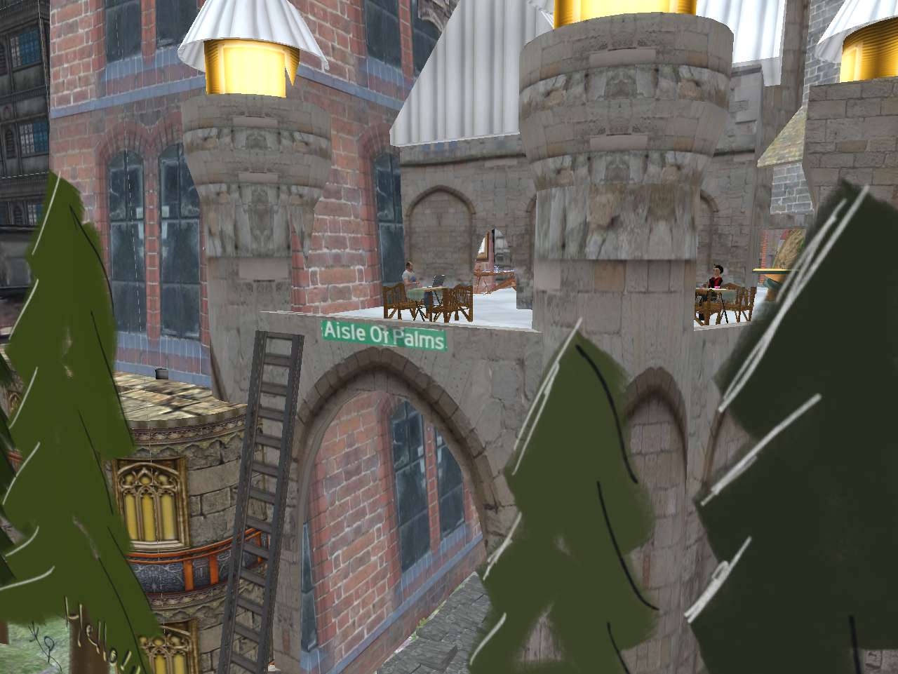
Newt, with old Axis-style pitch black German coat worn over modern agogo red-yellow-black German t-shirt, was also biding his time. Until Baker Bloch handed over the reigns of Aisle of Palms to him; make him mayor or whatever the title turned out to be. Maybe even King? With Wheeler his Queen, if so. After all, Baker Bloch is just kind of a Prime Minister figure in all this, having most of the power to create, etc., but not being the legal ruler of the land. That remained in Wheeler’s hands. So far.
Baker looked 2 seats down. “Hucka?”
“I wish to come back into the story,” she spoke plainly, directly, looking at him then looking at everyone else at The Table, wanting them to understand she was dead serious about this.
Another pause. “Well, okay. We can make that happen. Right gang?”
Murmurs of agreement all around, even the usually silent 88’s sitting to Wheeler’s right. Everyone knew the spiritual importance of Hucka to the blog, a type of Holy Ghost to the thing.
—–
Afterwards, Baker thought back to meeting the Bishop in an unexpected place off Old Wagon Road in central Maebaleia (continent), Our Second Lyfe must remain relevant being the overarching message he relayed. And then he took him diagonally to Redlands for a demonstration.
(to be continued)