Fern and Lichen pull up to the Atrium building, determined to get to the bottom of some things.
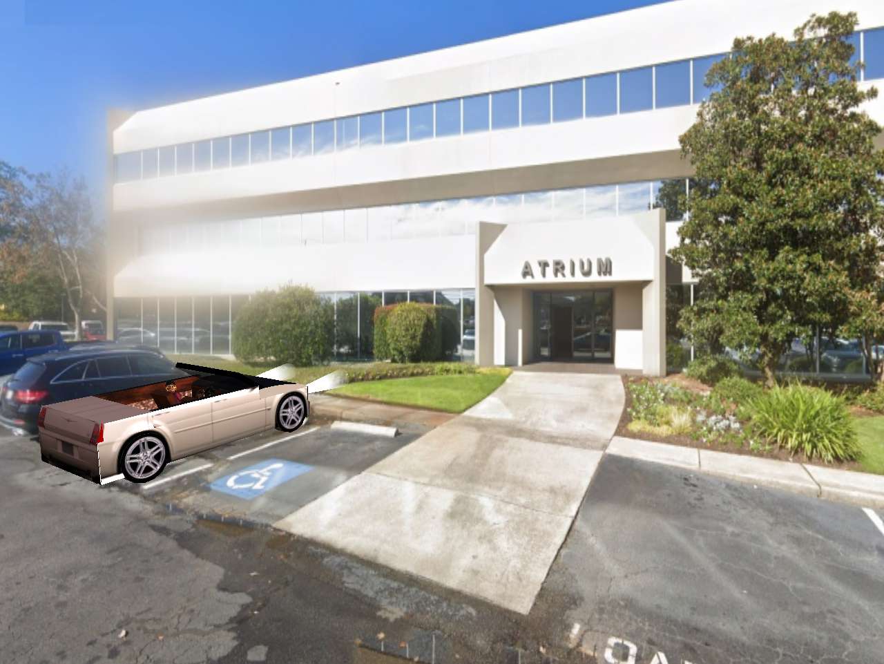
“Is this 3633 Wheeler Rd.?” started Lichen with the easy stuff, softening them up for Fern’s blazing bazooka of a brain.
“Yes, can I help you?” spoke Don the receptionist, on the job since Thursday. He’d yet to acquire an eye for suspicious looking characters, which these 2 certainly were.
“We’re here to see Wayne Bruce or Bruce Wayne, whichever way he orders it. We’re here to ask some questions if you don’t mind,” continued Lichen.
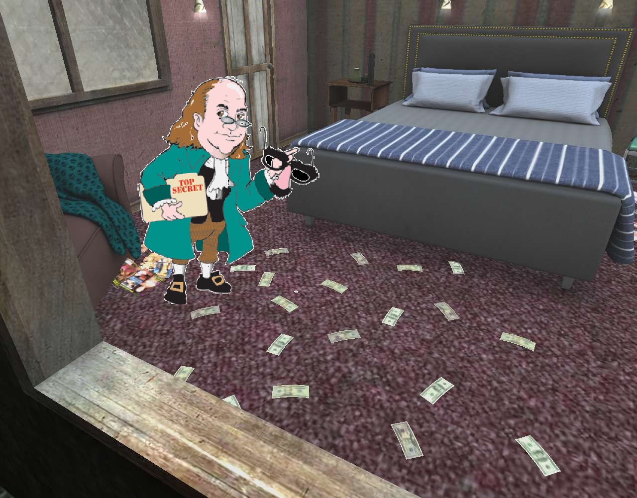
“Yeah, *questions*,” took over Fern in a much tougher voice than cream puff Lichen’s. “Like… what happened to Robin?; why did he replace him with Superduper Guy for a sidekick?; why is Aqua Dude so jealous of Superduper?; did he want to be the sidekick instead?; and what of Antarctica? Penguin? Penguin and Joker both? Backrooms? And finally: Alberta? Is it Albert or Alberta? And what of that tea and the forgetting?; did Aqua Dude and his partner Bullfrog simply drive away after that, no deal formed between the lot of ’em?; why was this his ace in the hole? *That* kind of stuff.” Fern finally took a breath.
Don’s evasion training from 2 days ago kicked in at last. “I’m sorry, did you say 3633? This is 3643. You’re one down from where you should be.”
“Yeah, we’re not going to fall for that,” said Fern. “We’re just going to walk out that door, go looking for 3633 in the wrong location and then come back here all confused. Maybe you’ll say the reverse, then, that this was 3633 all along and you thought we said 3643. Most likely so. But by that time you would have cooked something up. Wayne Bruce or Bruce Wayne is doing business in New Zealand at the moment thank you very much. He’s in the building and we know it. Go *get* him. Or, heck, *else*.” She pulls a gold gun out of her gray capri pants pocket, trains it on his head. She wakes up.
—–
“Asylum is one up on the Black list from Atrium,” interpreted Fern later to Lichen over a breakfast of Toasty-O’s, new pepper and mint flavor, new shape of snakes and ladders respectively. “This is what we actually seek. Just like Snowden.”