Category Archives: Green Oz Creek

Rediscovery>Wealthy Mountain

Yesterday, tried to reach Bigfeet Swamp for more hiking fun and toy happening scans but was blocked by the high water of Leola Creek. I could try wading, but that’s risky if you can’t really see the bottom well because of the slippery rocks involved.

IMG_0103smaller

So I instead walked just uphill to Rediscovery (parking my car at the town mall once more). This is Leola Creek again, just below the Hand Lake dam.

IMG_0104smaller

IMG_0107smaller

The dam. Water is still pouring out of the mountains, despite the rain having stopped several days back. But man did it come down in the 2 weeks before that.

IMG_0108smaller

I was pleased to find the The Finger of Hand Lake still intact, if a bit shrunk and soggy looking. Compare with here from about 2 weeks ago.

IMG_0112smaller

Yesterday I also decided to head over to Wealthy Mountain in Herman Park for what turned out to be a considerably more extensive hike, where I visited both Lion’s Roar and Tinsity/Green Oz Creek in the same sweep. Here’s a nice little falls about halfway up the side of Wealthy Mtn. on a fork of Byng Creek that I don’t think I’ve taken a picture of for this blog yet. About a 30 footer, I would reckon, a gently cascading affair. Considerably more dramatic in person that it appears in the below photo.

IMG_0113smaller

Near the top o’ Wealthy Mountain looking out toward lower land to the south.

IMG_0119smaller

A more prominent rock of Wealthy Mountain on a branch of Green Oz Creek.

IMG_0126smaller

A shot from the Wallace/Tinsity area already covered in some detail in the related blog category.

IMG_0129smaller

Colorful Tinsity fern. The leaves appear almost a bit past their peak here, but perhaps all the rain has dampened the fall colors, as it were. The actual peak for the Blue Mountain region traditionally comes in about a week’s time from now.

IMG_0130smaller

I plan to take 1 or 2 more days off next week for hiking possibilities. A fun time of the year!

Leave a comment

Filed under Bigfoot+, Blue Mountain, Byng, Green Oz Creek, Herman Park, Wealthy Mountain

Gun with a gun

I keep walking the Urban Landscape each weekend day, weather permitting, including yesterday. No pictures, however. Hopefully today.

With the completion of Karl and I’s dual interviews, I feel like a public part of a/v synching has been wrapped up again. I don’t want to say it’s the end of my facebook and email interactions with synchers, but it could be. We need something shocking to come along and wake us all up again, perhaps involving Dark Side of the Rainbow. Randy Teaford’s yearly exhibits sound cool but something else is needed. There’s a chance some of us could do a joint interview about that most hallowed of synchs, as I put it in my own interview.

But I must face the fact that I’m working alone now on the Sunklands site, most likely. Few will read the newest interviews. Everyone’s lives are busy.

So I must move forward. We’re getting the house ready for a sale. We are preparing to buy a new one. What of the art? The Pierre era synchs (Piera synchs) are now protected digitally in several ways. The carrcasses are a more delicate matter. Carrcassonnee remains slightly concerned.

Where is it heading? Once more, I think we’re going to Middletown still, and basically do a 1:1 trade out between The House on The Hill and a brand new modular home on our primary lot there. That’s the master plan. Carrcasses will continue for the rest of my life but in a calmer rhythm. I don’t plan to listen to as much rock music as I did before — more soft classical. Inspirations for new a/v synchs may be harder to come by. But right now I feel another one is brewing. Once more, however, it must remain a secret development for the most part. This will be Carrcass-12.

Bits and pieces of reality are falling into it. The definition of a tile must be better understood.

I’m unsure still about a tie between the large mythology surrounding Frank and Herman Parks I’ve developed now and the new idea of a Blue Mountain Urban Landscape. Are toy avatars in this landscape? It seems much more tightly controlled by humans — obviously. Leola Creek, however, has energy.

Let’s look at it this way. Leola Creek has its origins in *Herman Park*. Although its name changes over its main course, the stream can be said to have its source on Wealthy Mountain. There the flow is the same as what we’ve been calling Green Oz Creek, which is directly attached to the concept of WIS. Tinsity is on Green Oz Creek, about 1/2way between the tip top of Wealthy Mtn. and the large Herman Park pool known as Health Lake. Then the output of Health Lake, which is the same stream technically, directly becomes Leola Creek when it joins with another smaller creek at the head of Rocky Branch Road.

So in these 2 posts here and here with Rocky Branch Rd. photos that I never generated text for, we are looking at Leola Creek. Leola Creek is the rocky branch named.

I tried last year to develop a, er, branch mythology surrounding the approx. 2/3rds mile long Rocky Branch Road, a fascinating byway that has enchanted both Edna and I for a considerable time now. But because it is private and parking is lacking, we found we could not regularly hike it. So the mythology aspect was cut short. But the main point I wanted to make is that *this is the same Leola Creek*. The passage of this creek along the entire length of the road is not dissimilar to the passage of same through the official Blue Mtn. Urban Landscape, or between Point+1 and Point-1 on our “official” map here. A distance of about 1 mile as the crow flies. And the distance between the head of Rocky Branch Road and Point+1 is about 1/2 of this, or only about a 1/2 mile.

The Frank and Herman Einstein Blog started at the start of Leola Creek then, since its focus was Tinsity and Lion’s Roar at the beginning, the latter situated on a stream feeding into Leola Creek a little below Health Lake. The beginning of the current blog is the same as the beginning of this creek. Where are we now? At its *mouth* in the Blue Mtn. Urban Landscape. There must be something to this. Frank and Herman Einstein Blog has also deadened at this Landscape, since it has been essentially absorbed into the Sunklands site as of the end of May. It is now the Sunklands blog. The Frank and Herman (Einstein!) experiment is over. Second Life mythology was *not* expelled within as anticipated. Collage generating grew exponentially. It turns out that the peak of Frank and Herman mythology came just before and after the creation of the namesake blog — with Billfork, Whitehead X-ing and Con Creek on the farside and with Tinsity and Lion’s Roar on the near side from us timewise. True, Whitehead X-ing keeps developing as a woodsy center, and the discovery of a conjoined Red Head this past summer certainly opened up an important new chapter. Just to note, Whitehead Crossing and its Green Stream is not in the Leola Creek system. But it still seems resonant through WIS. Tinsity is not that far from central Red Head.

Where are we going?

Leave a comment

Filed under Blue Mountain, Concreek, Frank Park, Green Oz Creek, Herman Park, Wealthy Mountain, Whitehead Crossing

Carr. Chat

(joined in progress)

bmul01

Carr.:

The Sphere tells all. Speak to The Sphere. One under, one over. A bit. Bite. Bite it.

bb:

Amazing that you can even see that sphere or ball on the map, Carrcassonnee. This would of course be the one partially above water. High albedo effect here… like Venus. Maybe that’s why it’s hard to take a good picture of it.

Finding the [second] submerged Sphere while wading up the creek kind of shocked me. For one, I didn’t know I was so near to the first. Who could have put them there?

Carr.:

Earthlings.

[delete 4 exchanges]

bb:

The effect of the interview with Karl is wearing off, Carrcassonnee, and I’ve lost my capital B’s.

Carr.:

They will returrn.

bb:

Thanks again. So, this Blue Mountain Urban Landscape. Can you talk to me more about it?

Carr.:

You sit beside me in Collagesity, asking questions. I answer.

bb:

I want to show you a[nother] map. It’s of what I call ALO near the center of the Blue Mountain Urban Landscape.

Carr.:

Best to always say that as a full phrase[ so I can understand].

bmul02

bb:

I thought the center was where I marked it on this map. Now I’m thinking different. The 2nd yellow pin, unnamed, appears to be a center of toy activity.

Carr.:

Corr. ect.

bb:

But it’s on restricted ground. *Don’t* want to f* with the owners.

Carr.:

Nah. Stick to the stream. They’ll understand. Peanuts all.

stonethrow10

Remove Peanut from The Hole.

wis

peanut113

peanut111

bb:

Wonderful. The Hole in the very center of the animated tetraptych I recently completed. The most complex collage I’ve yet created, Carrcassonnee. The center of that?

Snapshot2035_006

Carr.:

UM. Yes. Yeah. Yea!

bb:

You play around with language sometimes like you’re not from around here.

Carr.:

You know I ain’t already.

bb:

Alien, then.

Carr:

Allen, yeah. Yep. Yup.

bb:

Do you *live* in that spot on the creek I’ve highlighted?

Carr.:

High Albedo. Me.

bb:

*You’re* The Sphere.

Carr.:

Talking to ya. Biting back. Bite the hand. Feed me. Venus. Uranus. Submerged. Neptune and Uranus. *Or* Venus and Earth. You pick. You choose. Your choice.

bb:

I think the totally submerged sphere, then, would be Neptune. Totally out of sight. Totally hidden beneath the waves. Uranus — can be seen with the naked eye sometimes if you know right where to look on a clear night. So that’s the one that pokes out from the stream. Or… maybe it is Earth.

Carr.:

I need a home on Earth. I will be therre.

bmul01
baker b. shortly determined that it’s probably Uranus still and not Earth. Thus its faint appearance on this map. Signal.

Soo…

IMG_0035smaller
Neptune.

IMG_0207smallest
Uranus.

bmul01
Uranus.

2 Comments

Filed under Blue Mountain, Green Oz Creek, Herman Park, Wealthy Mountain

map sinking feeling 01

print01

Winona (excerpt; only same county name Winona’s):

winonaedited01

Gopher (all):

gopher01

Gopher (now Winona) in Wallace County, Kansas (1872 map).

ks-1872

Current Wallace County.

wallace

Current Wallace County sinkhole. Giant gophers?

http://www.trunews.com/kansas-sinkhole-is-this-monster-sinkhole-in-kansas-still-sinking/

http://dictionary.reference.com/browse/in+clover

Winona could be said to be in the clover. Why did she shoplift, then?

Idioms
3.
in clover, enjoying luxury or comfort; wealthy or well-off:
They struggled to make their fortune, and now they’re in clover.

Another Wallace and a much smaller but still quite mysterious hole.

https://bakerbloch.wordpress.com/2013/09/16/wealthy-mtn-04/

We appear to be returning to the beginning[ of this blog].

(to be continued)

Leave a comment

Filed under Green Oz Creek, Kansas, MAPS, Minnesota, Wealthy Mountain

Wealthy Mtn. 01

Defender of The Depression (actually it’s an extremely rusty oil can).

IMG_0001smaller

Stones of Bedrock’s stream crossing.

IMG_0004smaller

Two identical guardian bushes of Bedrock, one light and one dark, like the pillars of Boaz and Jachin.

IMG_0009smaller

Platform area above Bedrock, once more.

IMG_0011smaller

Leafless tree across the goldenrod filled meadow from here.

IMG_0015smaller

Rusted out barrel in the meadow just above the center of Dark Space/Brownie.

IMG_0018smaller

Some scenes from the old Michael Too campground situated upon a ridge on the other side of the mountain, also visited on this same hike.

IMG_0040smaller

IMG_0041smaller

IMG_0042smaller

IMG_0043smaller

I’m counting 9 rocks now on Michael’s rock table, with Hucka Doobie’s impressive yellow quartz formation [LINK] still missing. Where did it go??

IMG_0045smaller

IMG_0050smaller

The central, dark object is just a piece of projecting bark, but doesn’t it look like some kind of unlit, foreboding spirit from this angle?

IMG_0060smaller

Rock below Michael Too giving the appearance of a log; in fact, I thought it was a log upon first glace. Log Rock it is, then. Might be connected with VWX Town’s Big Log pictured in the blog post below this. Big Log = BLog?

IMG_0062smaller

Leave a comment

Filed under Green Oz Creek, Herman Park, Wealthy Mountain

Bedrock Mystery

Bedrock

bedrock crackhttp://minecraft.gamepedia.com/Bedrock

http://bedrockorbust.blogspot.com/2010_09_01_archive.html

Pictured to the left is a spot that kept my interest high. This bedrock crack payed me 55 chunky pieces of gold in one pan within the area circled. That’s only about a foot in length. I chased the crack further toward mid-stream but it didn’t pay as well as it did within the circled area.

Bedrock_skyline_season1

Leave a comment

Filed under Green Oz Creek, Herman Park, MAPS, Tennessee, Wealthy Mountain

two in one, foreign one

wis

Drinking from the fount of pure synchronicity. W(e) IS renewed.

http://kdk12.tumblr.com/post/4879566957/the-shining-forwards-and-backwards

http://www.spectacletheater.com/the-shining-backwards-and-forwards-and-inwards-and-outwards-in-high-definition-anaglyph-3d/

http://vimeo.com/53766925

Leave a comment

Filed under Carrcass Artists, Green Oz Creek, Herman Park, Qbrick, Stanley, Shining, The, Wealthy Mountain

News, Notes

My ailing mother appears to be making a recovery. I know she is attempting to avoid a nursing home/assisted living situation as much as possible. She needs to take her vitamins so she won’t be so weak. She’s doing well, very well… for a 92 1/2 year old. This weekend I will be down with her again.

For lack of time, let’s go ahead and call in Hucka D. if he’s around. Hucka?

Hucka D.:

Hi baker. Good job with your mom. You got rewards points.

bb:

Thanks, Hucka D. Not out of the woods yet.

Hucka D.:

No, back *in* the woods. This weekend.

bb:

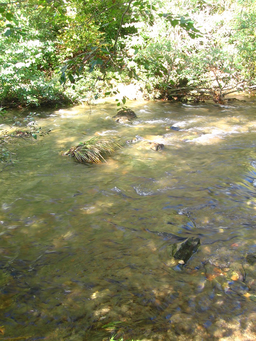
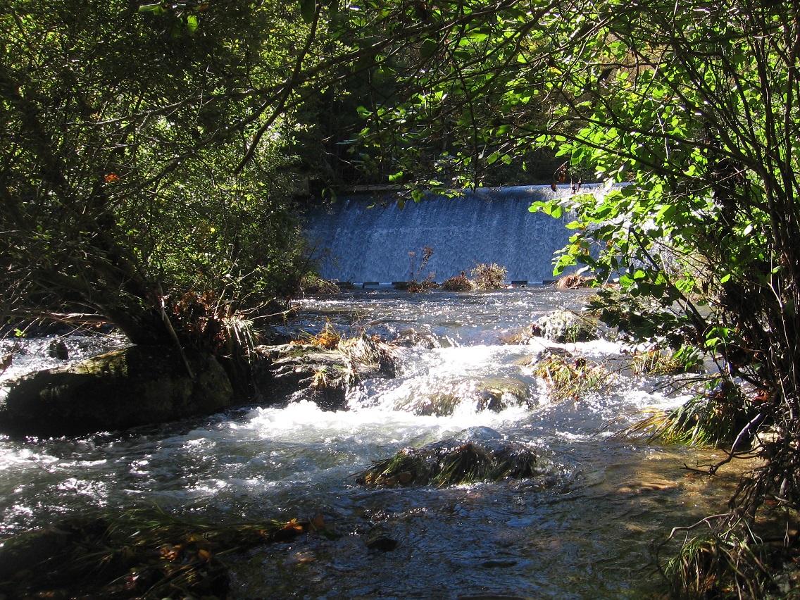
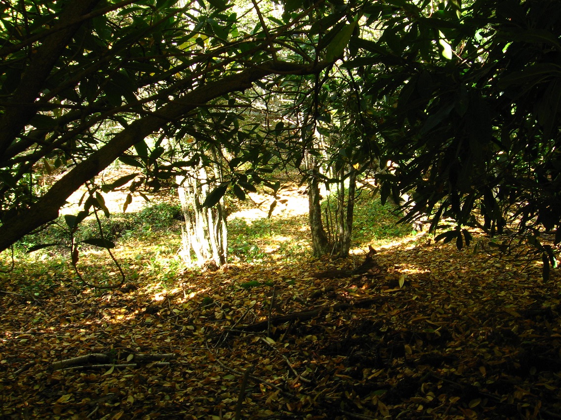
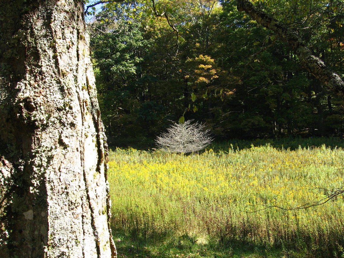
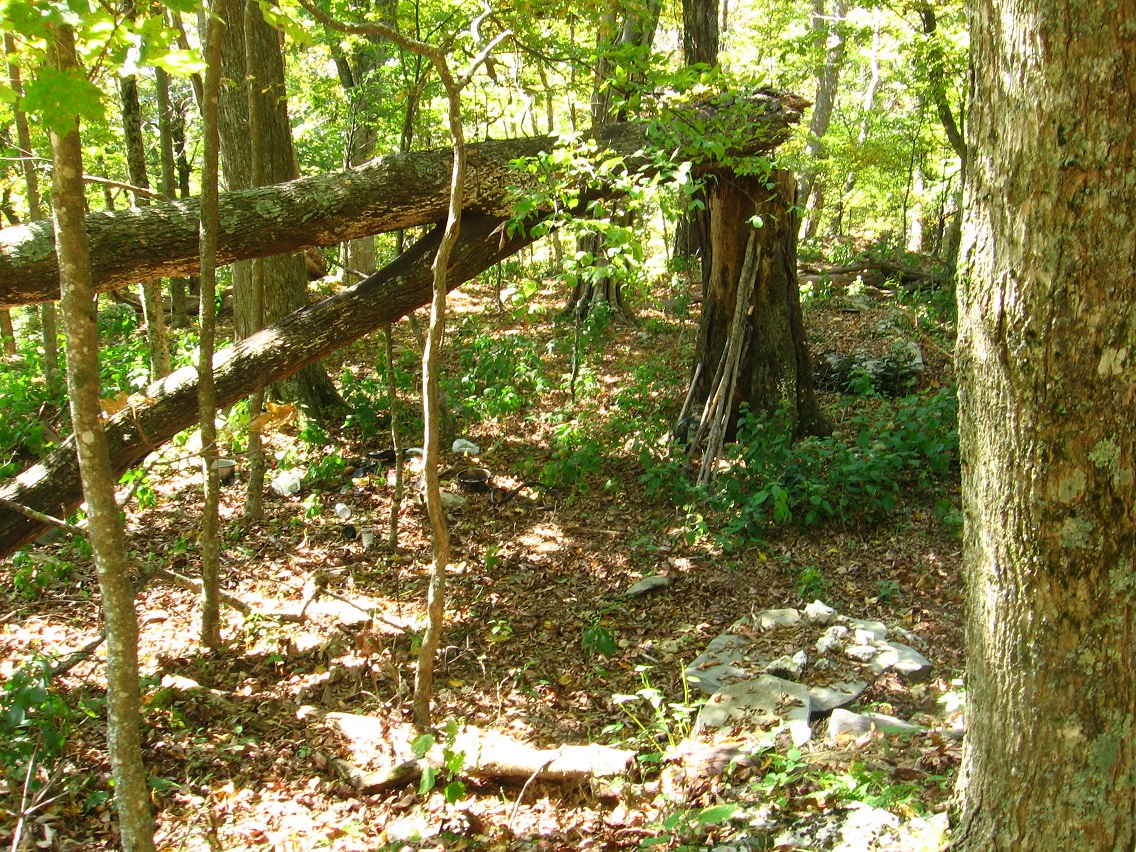
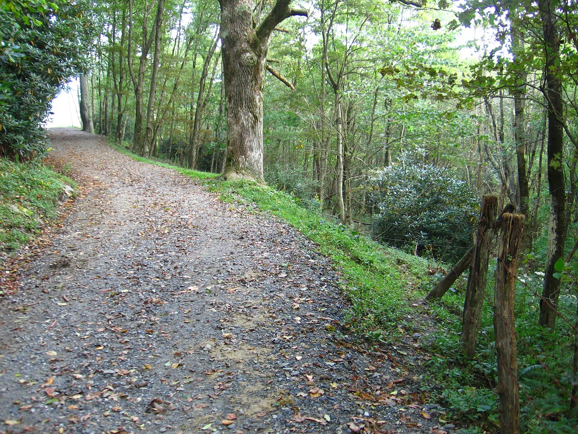
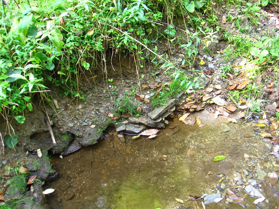
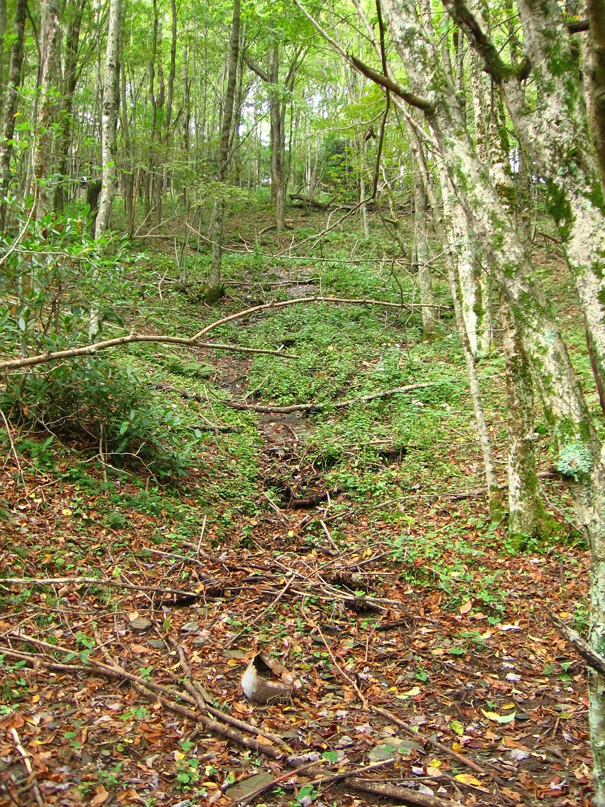
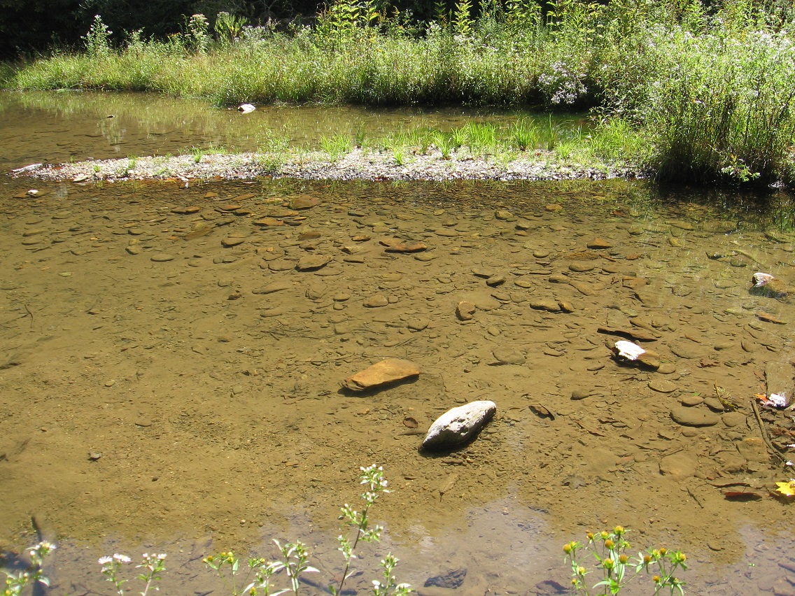
We’ll see. So, Green Oz Creek. That’s been the focus around this time of year 3 years in a row now, Hucka D., starting in 2011. And that initial focus was also the beginning of the obvious shift from Second Life to Real Life exploring for blog recording purposes. Each “passage” through Green Oz and Green Oz Creek as a whole bring more understand, more focus to the overall picture. It is a large story. Now, although Green Oz Creek has been a September focus the last several years, it’s also shifted, itself, into other stories during October and November. First we have, as I’m sure you’ll remember, the shift of Green Oz energy into norris or NORRIS or Norris.

Hucka D.:

My ex!

bb:

Yes… to the reader or readers, Hucka D. was actually married to this creek for a spell, according to him.

Hucka D.:

Truth!

bb:

That was 2011, when we were still working within the framework of the Baker Blinker Blog.

Hucka D.:

Yeah.

bb:

Then in 2012, and at the start of the current Frank and Herman Einstein blog, we shift an initial focus on Green Oz Creek into *Byng*, yet another stream. This involved the creation of the Lion’s Roar community and also the development of the Kentucky Platform and its Bee Line, etc.

Hucka D.:

Good times.

bb:

Now in 2013 we have the same situation: Green Oz Creek, in September, once again is in the blog spotlight, the blog crosshairs. Actually I don’t like that latter expression.

Hucka D.:

No.

bb:

What will it shift into *this* year? What will be my fall hiking focus, Hucka D.?

Hucka D.:

Opening the presents before Christmas are we?

bb:

Attempting to. Okay, you probably can’t tell me.

Hucka D.:

Green Oz Creek will continue to be the focus this time of year. Year after year after year. Tin Commandment: Love others as you love Yoself. Focus on Gold as original community of Tinsity area. Gold powder… Ark. Tinsity and Tin S. Man had it. The gold was buried, awaiting… (pause)

bb:

Harvest?

—-

bb:

GNIRPS, hehe, isn’t working tonight? What of GNIRPS?

Hucka D.:

Lisa the V. set up with her unlimited wallet, er, purse. Bottomless, I meant.

bb:

And this has to do with Carrcass-1.

Hucka D.:

Yes. Skillet. Skillet Swamp. Green Oz Creek. Wallace. Wallace3. Stares into hole. Greenup, but Yellow Down at the same time. Green Oz is bourne. Wallace.

bb:

Is Wallace an older community than Tinsity?

Hucka D.:

Two in one. Foreign one.

bb:

I’m sensing you cannot answer that quite yet.

Hucka D.:

You have a sign set up on the main path of the area: Tinsity that-a-way. Tinsity directly ahead, 0.2 miles. The sign will be created. At the tree. Sign Tree.

bb:

The Tinsity trail, from this direction, passes through Dark Space. What is the purpose of Dark Space?

Hucka D.:

Barrier. Is Tinsity aligned with Dark Space or not? We don’t know yet. Back to Gold…

—–

bb:

Tinsity is also going to be the name of the last Carrcass, Hucka D. Technically I suppose you would call this one Carrcass-10. But Carrcass-8, Carrcass-9, and Carrcass-10 make a triptych of audiovisual collages, much like the triptych ending the Latona series. Those were collages 8 9 and 10 as well.

Hucka D.:

Carrcasses, a blog term after all, will be seen as a set beginning in “0” and ending in “10”. 8, 9, and 10 will form a collage. The names will be Eight Ball, Number 9, and Tinsity. You start thinking of Tinsity collage as you are exploring Tinsity city in Herman Park at the same time. No chance.

—–

bb:

Do I keep VWX Town around this winter?

Hucka D.:

No.

—–

bb:

Communication between me and the co-worker will start to become limited now, Hucka D.

Hucka D.:

As it is.

bb:

He is Tin S. Man.

Hucka D.:

*You* are Tin S. Man. You both are.

bb:

So Tin S. Man… me as the boss of sorts, has his castle still, Hucka.

Hucka D.:

Not saying nothing.

bb:

I’ll have to get [another] student worker. I can’t work there alone.

Hucka D.:

No.

bb:

But back to Green Oz: I believe Wallace3, staring into the hole, saw Greenup and Yellow Down simultaneously. This is like playing a movie both forwards and backwards at once.

Hucka D.:

Yes (!)

Tinsity is about The Shining.

Hucka D.:

Yes.

bb:

A new Dark Side of the Rainbow has been created.

Hucka D.:

Yes.

bb:

Two in one. Foreign one.

Leave a comment

Filed under Green Oz Creek, Herman Park, Wealthy Mountain

Green Oz Creek Again 02

What will be called the traditional entrance to Tinsity according to Hucka D., who is able to peer into the future with his prescient bee vision. Is Tinsity that important? According to Hucka D.: Yes. The trail can be seen to veer off from the carriage road in the lower right corner, next to the barb wire fence. Presently this is only a secondary cow path, with the general public not knowing anything about its ultimate importance. Is it really that important? Yes, answers Hucka D. once more. I’ll just have to take his word for it for now.

The large tulip/poplar tree acts as a nice landmark for the trail’s beginning. Hucka D. further states that this positioning means that the trail will be pop(u)lar in the future. I’ve told him just to stop with the silly puns.

IMG_0131smaller

If you continue on the road you’ll soon come to a large meadow region with nice views to be had all around.

IMG_0133smaller

If you continue down the Tinsity Trail instead, you’ll soon come to an interesting landscape depression pictured below, of unknown importance or origin. I think Hucka D. wants to revisit this depression in the future. He’s stating something needs to be inserted there. The depression lies directly above one of the several seeps that run down to Green Oz Creek in Yellow Down, perhaps 5 or 6 in number. Will each one garner a separate name?

IMG_0137smaller

Holey moley! You can imagine my reaction when I spied this skull across perhaps the same seep lower down, suspiciously well positioned on a small, flat ridge just above. From this angle it certainly looks alien, or at least dinosaur-like. To my relieve (phew!), it’s actually a cow skull turned on its side. But what an illusion, given all else that’s happened in Yellow Down before it! I plan to make a separate posts reviewing photo oddities from this region in the coming days.

IMG_0139smaller

This same seep empties into Green Oz Creek very near the previously discussed Rib Rock, already associated with reptiles and dinosaurs through a Flintstone lineage. The ridge with the cow skull is inside the shaded area at the top of this photo.

IMG_0143smaller

Green Oz Creek shoreline nearby.

IMG_0147smaller

Moving a bit further downstream, we have a photo of 2 more interesting rocks near View Rock, itself perched just above Green Oz Creek below I. Rock. For the record, we presently have 3 named rocks in Yellow Down: View Rock, I. Rock, and Rib Rock. But with more appellations to come, I’m assuming.

IMG_0156smaller

Another seep in Yellow Down, this one with an old pot near its leafy source.

IMG_0160smaller

View Rock (foreground) and I. Rock (background) together.

IMG_0157smaller

Leave a comment

Filed under Green Oz Creek, Herman Park, Wealthy Mountain

Green Oz Creek Again 01

Stepping stones across Green Oz Creek leading to “Bedrock”, just off camera to the right here. Yd Falls can be seen in the background. More soon on this Bedrock, seemingly an ancient community of Yellow Down according to Hucka D. Isn’t that right Hucka D.? (Hucka D.: No. I mean, yes.) Anyway, this relates to finding Rib Rock in Yellow Down as well (another Flintstone image: see here), and also the reptilian or dinosaur-like face of I. Rock — along with the very queerly positioned “reptile” skull just up the hill from it. More on that very soon as well. My September experiences in Yellow Down are making for quite a story!

IMG_0103smallest

Lichen and moss decorated top of an as yet unnamed, larger rock in Yellow Down, demarking a lower edge of this Bedrock area. More comprehensive picture of this rock here.

IMG_0105smaller

Directly above this Bedrock is found an flat, open woodsy area, with several interesting characteristics. Like the below pictured rock with a pile of smaller rocks on top of it…

IMG_0117smaller

… and several old but still standing fence posts like this one.

IMG_0119smaller

The posts continue through a marshy stream bed below, whose flow then passes through a small grove of rhododendron and into Green Oz Creek about at that rock seen in photo no. 2 above.

IMG_0123smaller

Another fence post in the same row.

IMG_0125smallest

A huge, dead oak marks the lower corner of the open area; hollow in nature.

IMG_0126smallest

Another fence post on the upper end of the same area, laying on the ground near a moss covered stone just beyond the similar stone containing the rock pile mentioned before.

IMG_0127smallest

Interesting tree with prominent, downward projecting dead limb sighted across the goldenrod filled meadow from here.

IMG_0129smaller

Leave a comment

Filed under Green Oz Creek, Herman Park, Wealthy Mountain