Category Archives: Haze County

Wealthy Mtn. 02: Tinsity

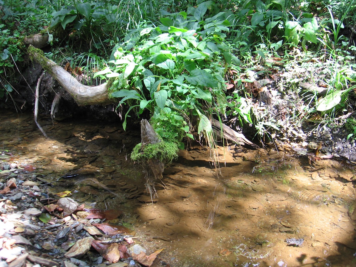
Interesting moss rimmed end of a stick projecting itself above the flow of Green Oz Creek at Wallace. A portion of Wallace’s rocky beach can be seen in the foreground. We’ll be talking about that beach quite a bit in coming posts.
IMG_0040smaller

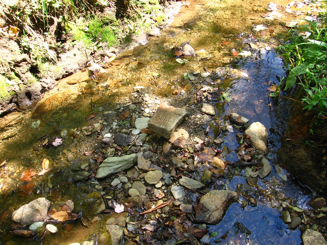
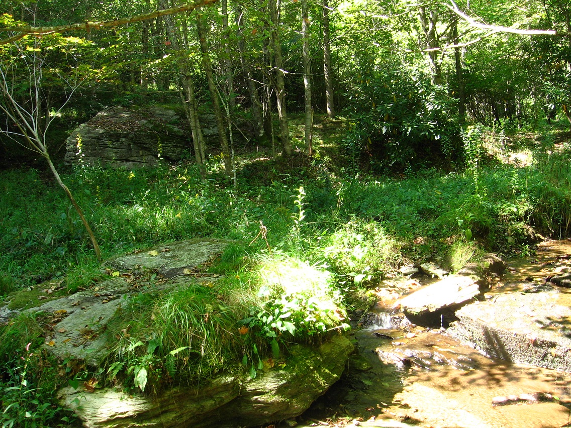
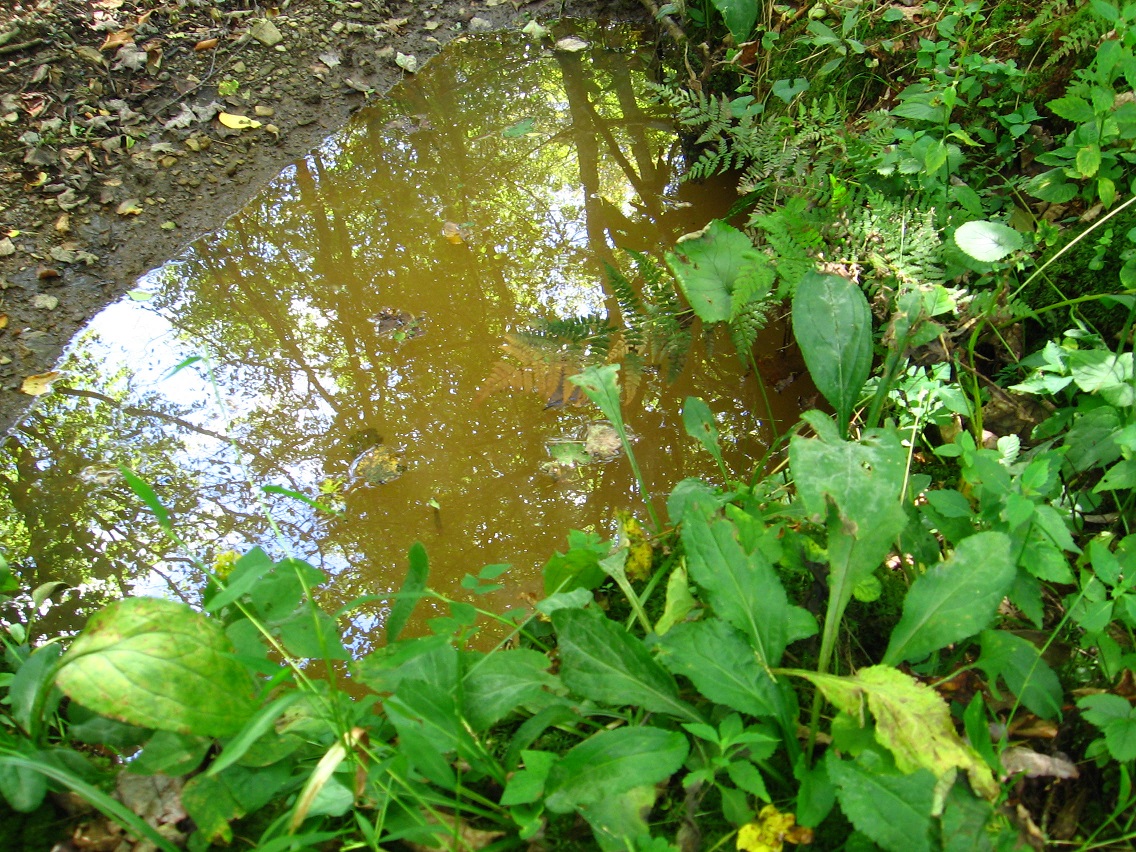
Wallace’s rocky beach in the foreground, and Tinsity’s similarly sized beach more in the background (“downtown” Tinsity to its right). Also in the foreground is seen the as yet unnamed murky or stagnant pool of water originally found about 2 years ago in my first explorations of the Tinsity area.

IMG_0045smaller

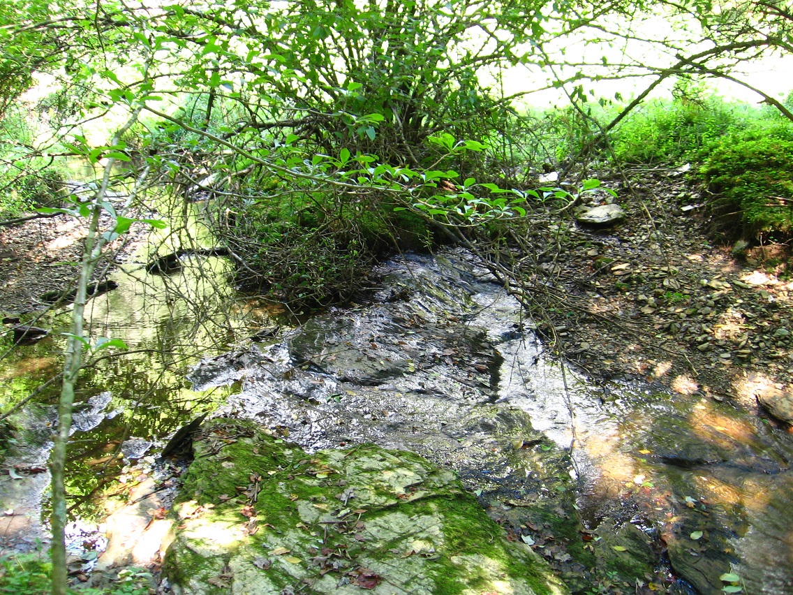
Interesting bank in Wallace originally pictured here as well. Hucka D. states this is most likely the remains of some kind of ancient city wall. The Wall.

IMG_0047smaller

IMG_0050smaller

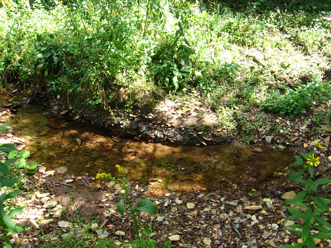
Closeup of the stagnant pool. Hucka D. is now indicating that the name is S. Pool, or perhaps Ace Pool. It is the result of a Tinsity/Wallace scientific experiment gone wrong.*

IMG_0056smaller

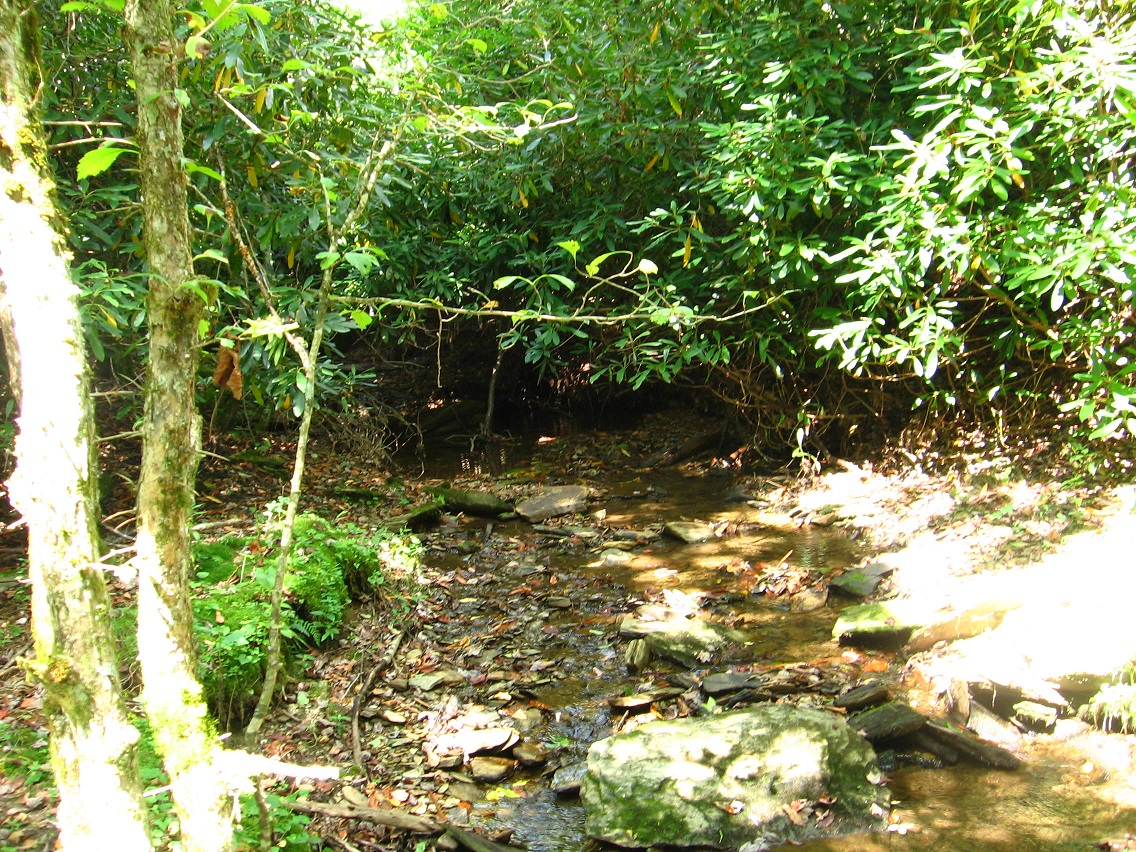
Main part of Tinsity, or what could be dubbed “The Avenue”.

IMG_0059smaller

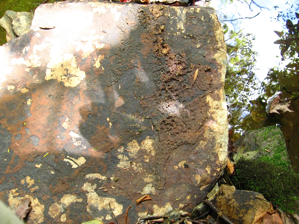
Standout-ish rock on Tinsity’s beach. Another ancient artifact?

IMG_0062smaller

Barrier tree dividing both Wallace and Tinsity from the Bones area, considered somewhat haunted. Compare with here and here.

IMG_0067smallest

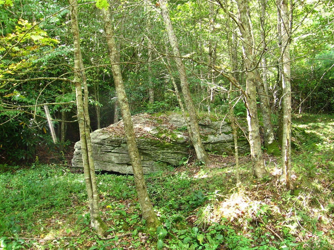
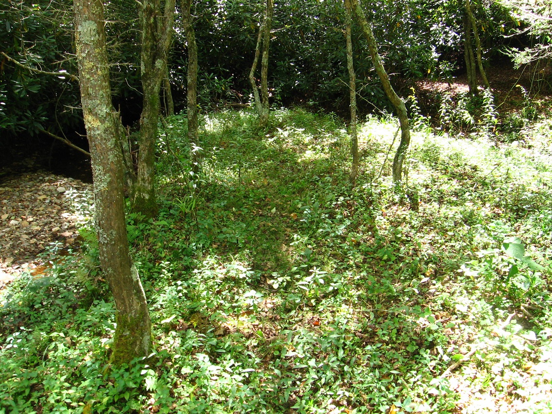
Alignment of 3 rocks in Dark Space. We are moving below Greenup through this space (called “Brownie” in ancient tongues) to reach Yellow Down and I. Rock (yes I have a name for it now!).

IMG_0069smaller

—–

* This same experiment may have caused Wallace’s several sinks holes found near the entrance to the town from the north, just before the Wallace Hump House.

Leave a comment

Filed under Green Oz Creek, Herman Park, Wealthy Mountain

Wealthy Mtn. 01

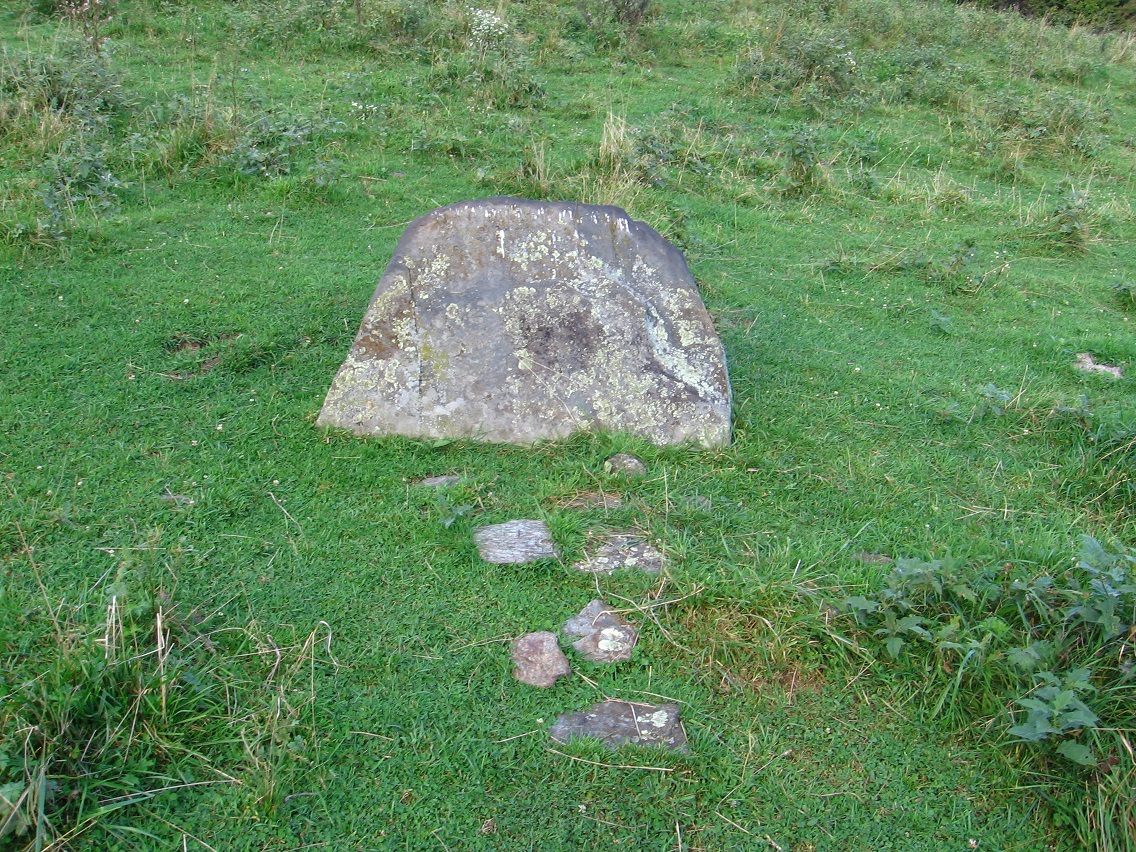
More isolated rock in a Wealthy Mtn. cow pasture, looking considerably like a tombstone.

IMG_0001smaller

Sideview of same.

IMG_0004smaller

A little further up the mountain but looking in the same direction.

IMG_0010smaller

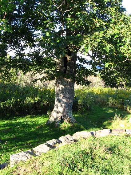
Interesting tree on a platform ridge about 4200 feet up now. Not much further to the top walking along this same path.

IMG_0013smaller

The top itself. I’ve already taken a photo of this particular tree for the Baker Blinker Blog (LINK).

IMG_0019smallest

IMG_0021smaller

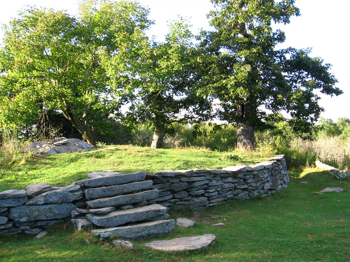
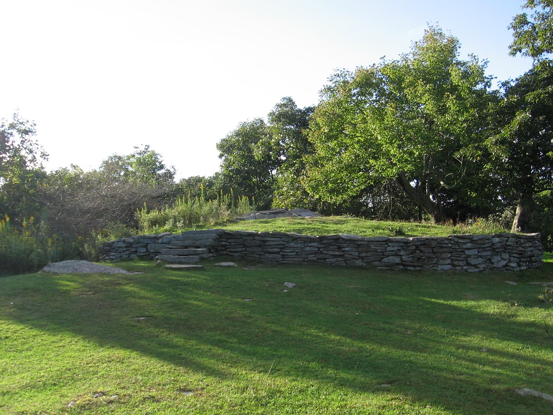
As explained in that same blog entry, the very top of the mountain is enclosed by an elliptical rock wall, perhaps 100 feet in circumference.

IMG_0031smaller

Loose rocks adorning a larger rock at the very tip top of Wealthy Mtn., near the center of the region enclosed by the above pictured oval wall.

IMG_0017smaller

IMG_0036smaller

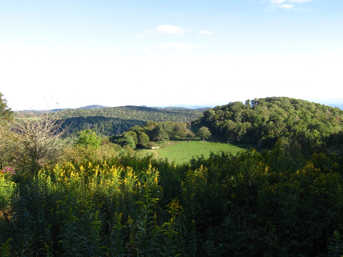
Looking off into the distance toward strangely aligned mountain peaks. Ley line?

IMG_0033smaller

Whatever, it was certainly another beautiful day on Wealthy Mountain!

IMG_0039smaller

Leave a comment

Filed under Herman Park, Wealthy Mountain

Man

“Isn’t No. 9 the story about you the Tiler, baker b.?”

—–

Hucka D.:

That was Bob. Sorry, Chuck. (pause) Sorry, CTA. Again. You didn’t answer. baker b.?

—–

CTA:

We don’t know where he went. It’s like he turned invisible.

Hucka D.:

Imaginary?

—–
—–

bb:

Hi.

Hucka D.:

Hey. (pause) Where you been?

bb:

Studying that Man Square below a bit. Have any comments?

Hucka D.:

Man, you had us worried.

bb:

Stop it.

Hucka D.:

Okay. How was your day?

bb:

Pretty good. Co-worker and I are getting along again. Momentary lapse of reason.

CTA:

Wish you were here.

Chuck:

Umma G. Umma.

bb:

Thanks again people.

Hucka D.:

But you ask about Man. You are the Tiler. You become one with him in Number 9. You turn Imaginary. You go through Apeman to Tin S. Man to Superman to Imaginary Man. Apeman is in the past, Superman the future. Tin S. Man is present; Imaginary Man is present.

bb:

I’ve lost contact with Tin S. Man.

Hucka D.:

*One* Tin S. Man. There are others.

bb:

And this Tin S. Man is also Imaginary Man, since I don’t know his identity (still) even though he knows mine, if he chooses to really think hard and remember (smile).

Hucka D.:

That was a set up flaw. You had to give up rainbowology, but now you have Number 9 and know more about Lisa the Vegetarian — her first true love.

Future. Are there others?

bb:

I’m going to return to Green Oz Creek this weekend, Hucka D. Take some better pictures in lighter situations.

Hucka D.:

Lighter sunlight you mean. Not lighter like float away lighter.

bb:

Right.

Hucka D.:

Skillet the Squirrel is Number 2 to Mouse’s Number 1. Baker Bloch and Baker Blinker. You. You must be Tin S. Man (as well), along with Ray Davies of The Kniks. 4 in 1. Foreign One. You see? 4 Men.

bb:

Maybe. Yeah.

Hucka D.:

When The Kinks become The Kniks, then you have Number 0 and Number 9 together. 4 Men.

Snapshot1223_001

bb:

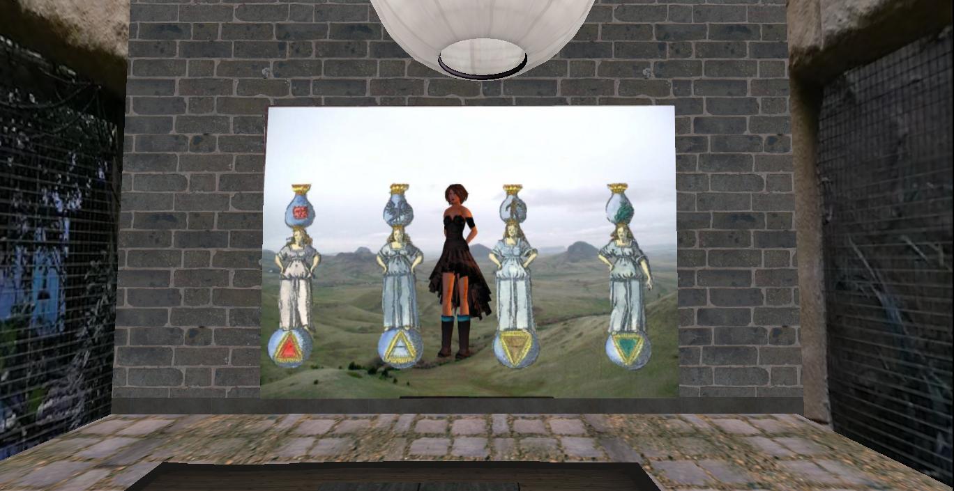
Oh Hucka… check out what my neighbor created (speaking of 4 people). She’s a funny one.

Snapshot1221_002

Hucka D.:

Everything has meaning in little VWX Town. Good work.

bb:

It’s a special place. But I’m (still) gonna destroy it. Soon.

Hucka D.:

Special place. Special destruction.

CTA:

I haven’t even been to a town meeting!

bb:

Hi CTA. Northside representative, I suppose.

CTA:

Born and raised there (!)

bb:

Do you know Lisa the Vegetarian?

CTA:

If she attends I must attend.

bb:

Hmmm.

—–

Hucka D.:

Don’t you think the 4 members of The Kniks represent undifferentiated–ness. Prebirth, before separation of 4 tile colors. Then Number 9 is birth of abstraction. The 4 Men separated into their 4 Corners.

bb:

Tin S. Man must have known of this 4 in 1, this Foreign One.

Hucka D.:

He referred to it/him plainly and simply as Number 9. Plain and simple.

bb:

So Tin S. Man would stroll into his workplace at Tinsity from his castle and start jabbering about his very good friend Number Nine who he had seen the night before.

Hucka D.:

Precisely.

bb:

No one would meet Number Nine. No one knew who it was.

Hucka D.:

It was an abstraction.

bb:

He and Number 9 would talk about Skillet Swamp. They remember the Swamp before Tin S. Man extended an Olive Branch. They remembered the bad to the bone Swamp. Monster. Travis/Randy.

Hucka D.:

So there.

bb:

Sorry (once more). I was daydreaming.

Hucka D.:

About your Co-worker. You’ll get along. Pink Floyd.

bb:

Back to Number 9 (though). There was discussion (in the office) behind boss Tin S. Man’s back about Number 9 being imaginary and not existing.

Hucka D.:

Which it didn’t, of course. But it did. Does.

bb:

I wonder where (Wallace’s) Wallace is in all this? But to back up, Number 9 is obviously a lot about Tin S. Man and his Tinsity. Tin S. Man, as the 11th (LINK), is a direct continuation of Dark Side of the Rainbow’s 10. Tin.

Hucka D.:

Yes. Very important.

bb:

Dark Side of the Rainbow ends in 10 or Tin — number or metal I mean.

Hucka D.:

Yes, I can read it (what you’re saying).

bb:

Tin S. Man must control Dark Side of the Rainbow, then. Like a beehive.*

46729_121532061233022_514430_n
https://www.facebook.com/pages/Dark-Side-of-the-Rainbow-Live/121531641233064

—–

* http://www.imdb.com/title/tt0032138/trivia

A scene was filmed in which the Tin Man was turned into a “human beehive” by the Wicked Witch; after he crushes a bee, the Tin Man cries and rusts his jaw shut, then has to be oiled by Dorothy to get his jaw working again. This scene was cut and so the scene of Dorothy and her companions that comes after where the “beehive” scene had to be flipped to match their continuity in the earlier scene, causing them to appear blurred slightly.

1 Comment

Filed under Green Oz Creek, Herman Park, Wealthy Mountain

Recent Hikes…

Shot of large rock near Green Oz Creek, in the section of Green Oz I’ve been calling Yellow Down in this here blog. I need to eventually give it a name. Just to remind, Green Oz represents the middle ground of Green Oz Creek from source to mouth, a more open area with numerous fields roughly centered by Tinsity. It seems naturally divided into two larger section: Greenup to the north and Yellow Down to the south, with a smaller, central patch of rhododendron that appears to be a divider between the two called Brownie (or Dark Space). Tinsity lies on the upper edge of Brownie, or, oppositely, on the southern limit of Greenup.

IMG_0071smallest

This is a photo looking over Skillet Swamp just north, in turn, from Tinsity.

IMG_0084smaller

Heavy summer rains have seemingly washed away this old avatar bridge, but also created a new crossing seen below.

IMG_0092smallest

Beautiful meadow between Green Oz and the Quartz Brook Valley to its northwest, which I also revisited the next day but didn’t take any photos of. While the leaves are still on the trees, the woods tend to be pretty dark, making picture taking difficult. I’m not a big fan of outdoor flash photography.

IMG_0096smaller

Leave a comment

Filed under Byng, Green Oz Creek, Herman Park, Quartz Brook, Wealthy Mountain

Variety of Stuff

—–

Started to work on carrcasses again after almost a 3 month layoff. I call the newest one “Number Nine” (subject to change), apparently a close companion to “8 Ball” basically completed in June before we left for England. As usual, I can’t give out many details on these, unfortunately. I *can* talk about it using more abstracted images.

—–

MORE TEXT SOON.
—–

Strange I was the first to mention Burnet on the Synchronicity Phenomena board, not Don, who later actually lived there.

http://tech.groups.yahoo.com/group/SynchronicityPhenomena/message/14266

This was the 4th (Don, from Oct. 2004)…

http://tech.groups.yahoo.com/group/SynchronicityPhenomena/message/19549

I just read this post last night, and then today saw an actual coon in the woods, and in the very spot I thought that Mossman as a surrogate Daniel Boone might have spent his last days. No lie. See this post for further information on Gene Fade and his Missouri [link soon].

1 Comment

Filed under Byng, Carrcass Artists, Herman Park

Thoughts

Head’n to Charleston tomorrow. Always great fun. Thoughts before leaving: Will probably take a number of blog ring binders with me. 🙂 Thinking of the inevitable end of VWX Town, which has existed almost 2 months now, a long time for a virtual town for me without the word Pietmond in its name. Will it be as early as September? Heterocera’s The Diagonal is admittedly a very exciting concept, and seems to have greater potential beyond what I’ve found so far. The Church of The Diagonal connects it directly with the pulse of VWX Town. But I’ll also be out in the woods a lot even in Sep. and especially Oct. That will be my main focus. Drawbacks to destroying VWX Town: As I’m reading things, and as I’ve mentioned before on this blog, the possibility to create a town in larger than a 8704 space without jumping up to the next Linden tier payment (40 US dollars to 75 US dollars) has greatly narrowed in the past year, as the rules of Linden land abandonment have changed and the number of mainland parcels for sale has greatly shrunk, shooting up real estate prices and obviously causing problems for my regular rental businesses such as Lama Estates. I was very lucky to even have set up VWX Town in the first place, which now covers 13312 square meters, and also has some add on real estate components, as one could put it. I actually have what is in effect a second avatar resident of the town, even, who has contributed to its skyline with a conglomerate freebie structure of her own. In effect, the town almost covers 1/4th of a sim, which is fairly extensive and probably matches or surpasses even the largest expansions of Old Pietmond. So back to the question: How long will VWX Town last? If I can get past Sep. and Oct. its existence could possibly extend even into Jan. or Feb. In other words, it could come up to the level of Old Pietmond status, if so. I’m having trouble envisioning that, and it would mean putting out about 300 dollars for land expenses from Sep. – Jan. If I just keep my Lama rental land in Philudoria, that would be reduced to about 60 dollars, a savings of around 250 dollars. I want to keep a land presence in SL, and the 60 dollars is quite reasonable for this period of time. But let’s think this through — *eventually* I’m gonna buy a bigger chunk of land in Second Life if I give up VWX Town in Sep., which will most likely cost me about 20-30 more dollars upon purchase, subtracting the tier payments. I’ve already paid for the Philudoria property. Plus there’s the problem of timing the land purchase to maximize my tier value, which I was able to accomplish with VWX Town. Then if I buy property in another place later on, it’s probably not going to be on as cool of land as my present burg, with its connection to the Heterocera Diagonal, prox. to the glorious VHC Town, and so forth. And one needs artistic hobbies; I don’t pay anything for exploring Frank and Herman Parks except for the gas to get there and the inevitable car repairs of the Frank_and_Hermanmobile (1999 Honda Civic). And it seems like when I shift my regular SL purchases over to another art venture — think specifically of buying a Lionel train set last spring — it doesn’t seem to give me as much immediate pleasure for certain. Long term may be a different case. The money I sink into Second Life does not get me any tangible products such as train track, which I can still use, say, 10 or 20 years down the road. Hmmm.

Hucka D.:

Keep VWX Town. I’ll pay the bills through January.

bb:

Thanks Hucka D. But you don’t really have any money you can give me, you know. It’s all out of my pocket, me as baker b.

Hucka D.:

Not really. I can give you money. I gave you money for travel this summer.

bb:

Hmmm (again). What is the importance of hanging on to VWX Town?

Hucka D.:

You just listed them above — in this blog post. We are in a blog post aren’t we?

bb:

This time. Do *you* — well, you just said I should hold on to it. Maybe we should have a town meeting. Who will represent Northside?

Hucka D.:

Casey The Alien of course. He’s up and about now after his resurrection. He lives in the Cape Map cottage on the edge of Northside. Has a bed upstairs. You should invite him over for tea.

bb:

Tea with baker b. Or Baker Bloch.

Hucka D.:

Sure. He’s the one you need to talk to the most now. He can communicate to you in Second Life[ now].

CTA:

Hi. Thanks for inviting me over for tea (smiles).

bb:

Hi CTA. Welcome to Nowheresville.

CTA:

Does seem a little bare. I appear to be sitting in mid air. Oh look, over there’s a painting. Let’s go take a look.

(all walk to the painting that has manifested on a far wall, next to the window)

bb: (looking):

Landscape. I like landscapes.

CTA:

It’s the Cliffs of Dundee, I assume. I was there.

Hucka D.:

Me too.

CTA:

We’re there now, in fact.

(and they were)

(to be continued?)

jasper04collagesmaller
Cliffs of Dundee” (Waverly Knapp, c1812)

Snapshot1203_012
Burnet cliff, top; Burnet/192/192/85.

Snapshot1203_007
Burnet cliff, bottom; Burnet/160/160/42

Leave a comment

Filed under **VIRTUAL SL, Frank Park, Heterocera, Whitehead Crossing

Byng 02

(continued from “Byng 01”)

Rock Island about 50 yards or so upstream from Lion’s Roar. One could certainly make an argument that it’s not an island per se, but just an interior conglomeration of rocks more often than not protruding above Byng’s water level.

IMG_0049smallest

Interesting orange tinted rock patterns within an unnamed, small cascade just above Rock Island.

IMG_0052smallest

Shots into the upper reaches of Byng’s Kansas region, which has taken on added significance in the meantime:

IMG_0059smallest

IMG_0067smallest

I’ve found a path linking Missouri on the ridge to the west (same ridge with the Kentucky platform further up, once more) to this rock filled and more spread out, circle shaped part of Byng I am standing in for the below picture. Just downstream from here, we can spy the dark silhouette of a large, dead tree that perhaps represents the center of 6 Minute Hill. More on that soon as well.

IMG_0069smallest

Larger, square-ish rock from the same area.

IMG_0070smallest

IMG_0074smaller

Upper Kansas flora.

IMG_0077smallest

Interesting crisscross of tree trunks above Byng… again taken within the same circular Byng location that the Missouri Trail leads to from the western ridge.

IMG_0079smaller

Interesting trunk spanning a more marshy part of 6 Minute Hill.

IMG_0082smallest

The central dead tree mentioned before, viewed from the opposite direction.

IMG_0083smallest

1 Comment

Filed under Byng, Herman Park

Byng 01

A greenish mushroom that has partially collapsed since I first spied it at the beginning of the Missouri Trail of Byng several days ago. I barely recognized it, in fact. The surface aspect of mushrooms seem to have a short span of existence. That’s something I look forward to studying closer when I retired in *7 1/2* years, barring illness. And even with illness (not going to happen) it will still be 7 1/2 total years, since I have bunches of sick leave accumulated. Not that I don’t like my job, but I have things to do… besides keeping up with this blog, which I intend to continue until I can’t. Frank and Herman, Einstein! is long term. Maybe beyond 7 1/2 years. 🙂

Since the below spot marks the point where you can enter Kansas (middle Byng Creek) or Missouri (ridge west of Byng), some might call it Kansas City. I’m not sure I’m ready to run with that particular pack yet.

IMG_0008smallest

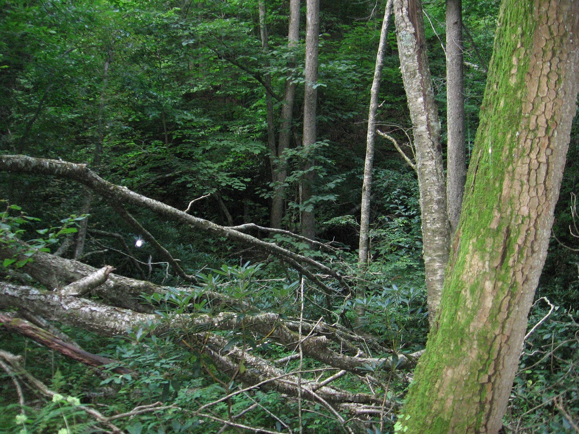
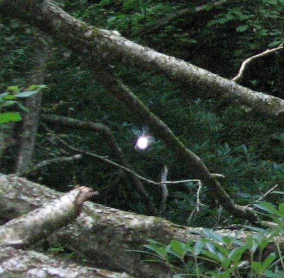
Holey Moley! Is that a wood fairy I took a picture of yesterday?!? This was a bit up the Missouri Trail, where you can see Lion’s Roar (central dark patch) in the background. I believe I took the picture with a flash (automatically set to adjust for lighting), but still I don’t see how it could illuminate a whole object like that. Could be wrong. Didn’t see anything like a fairy (or big bug) when taking the picture.

IMG_0010smaller

Close-up of the “fairy”. You can definitely see the wings here, and it appears to be flying at a goodly rate, or at least the wings, if that’s what they are, appear to be vibrating at such.

IMG_0010originaldetail

A short hike uphill brings us to the flatter platform of Missouri, not nearly as big as the Kentucky platform further up the same ridge but its only other identifiable platform area nonetheless that I can tell. The name Missouri comes from its proximity to both Kentucky to the west and Kansas to the east. Illinois and Iowa may figure into this as well, and it’s rumored (so far in Byng story) that Kansas’ Rock Island, which I’ll get to in a moment in this photo series, actually comes from a hidden mystery land of Illinois or Iowa or both, perhaps originally issuing from the area of The Impass above Kansas on Byng. Now factor into this seed mythology the Missouri platform situated not far above Rock Island.

IMG_0011smaller

Details from Missouri.

IMG_0015smaller

This photos depicts a tree seeming to grow almost horizontally out of the ground, but on second glance appears to be dead. Unusual.

IMG_0016smaller

Now we come to another oddity of the day. As I was shuffling around the Missouri platform taking pictures, I noticed not one but two unusual sounds. One sounded like somewhat garbled or muffled gunshot from a distance hill, and at a peculiarly regular rate. The second at first seem to come from the other direction, and sounded like a benign chirp from some exotic bird. It took a while to understand that the two sounds actually came from one source: a raccoon perched perhaps 50-60 feet above me in a tree. The sounds were directed toward *me*!

IMG_0021smaller

When I returned home last night, I looked up raccoon sounds on the Internet, and discovered they can make an astonishingly wide variety of such. I never found an audio match for the more threatening of the two sounds, however. I didn’t feel like I was in immediate danger, but I also knew that to continue up to Kentucky, my original plan, would have me passing through this very spot on the way back. I didn’t like the idea of encountering this raccoon again, and so I decided to instead descend back down the ridge and head over to Kansas and Byng instead. Below we have a pic from the still extant pots neatly tucked into an inner pocket of Lion’s Roar’s large, overhanging rock.

IMG_0023smaller

Byng’s Periwinkle Falls, just above Lion’s Roar.

IMG_0036smaller

(continued in “Byng 02”)

1 Comment

Filed under Byng, Herman Park

Plans

Go back to the Gene Fade Mountain’s 80 post art work and look closely at posts 00, 10, 20, 30, 40, 50, 60, 70, 80, perhaps comparing them with the 8 (or 9) points of the Burnet “octagon”, if end is looped back into beginning. We’ve already made a connection between the 80 posts rock work and Kentucky’s Bee Line (through Fade Mtn.’s [failed] Weaving Spot). Is it now also connected to Whitehead X-ing’s Contemplation Loop, given that the weaving spot was also such a loop for at least one day? Must compare lengths of all. Something will arise.

Today I plan to go back to Missouri and also Kentucky further up the same ridge and take some notes, perhaps some c[h]ord. Will have to be 70 yards in length. I’m thinking of using wire. Will a train track be built at Kentucky? Missouri?

Leave a comment

Filed under Byng, Frank Park, Gene Fade's Mtn., Herman Park, Wealthy Mountain, Whitehead Crossing

What next?

Snapshot1207_005_002

The weather is getting warmer, and I believe further exploration of the Byng area for now might be blocked. My promised pictures of that place today turned out not to be, since I forgot my frigg’n memory card before heading into the woods. So instead I decided to go over to old, reliable Whitehead Crossing, but from The Way this time. Standard nomenclature needs to be reviewed for the area. Whitehead X-ing is so accessible because you can get to it through a number of ways (and so not just through The Way, har). It is definitely a center. Today I walked the Contemplation Loop quite a bit once more, but a slower pace than on previous visits. Will read more of my older Whitehead X-ing notes after finishing this post.

Hucka D.:

No pictures today? Aww.

bb:

Sorry. Stupid memory. *Mine*.

Hucka D.:

Contemplation Loop is connecting you to the woods, the wild. I heard you heard coyotes. Maybe wolves. But I think coyotes.

bb:

Yeah.

Hucka D.:

You just need to walk it as much as possible. Missouri is closed for now. Missouri will change into something else in a bit. Different name, I mean.

bb:

It’s an amazing ridge. And a path that I could not have predicted up that ridge beginning at the very start of the Lion’s Roar/Kansas path. Crazy.

Hucka D.:

That is Missouri, leading to Kentucky. You should study that state[ again].

bb:

Apologies once more about the pictures.

Hucka D.:

Soon it will open up. Lion’s Roar and Kansas too.

bb:

Who lived in Missouri?

Hucka D.:

*You*.

bb:

Hmmm… how about toy avatars. For that place and also Lion’s Roar/Kansas.

Hucka D.:

That beginning of the path, presently guarded by a greenish mushroom, is the gateway to the future. Missouri future. Through it you can gain quicker access to Kentucky and beyond. Diagonal. This formerly hidden trail will lead you further than ever before. Future.

bb:

Thank you.

220px-St_Louis_night_expblend_cropped

Leave a comment

Filed under Byng, Herman Park, Heterocera