Category Archives: Haze County

More Whitehead X-ing

TEXT SOON.
IMG_0001smallest

IMG_0002smallest

IMG_0004smaller

IMG_0005smaller

IMG_0008smaller

IMG_0010smaller

IMG_0015smaller

Leave a comment

Filed under Frank Park, Whitehead Crossing

Whitehead X-ing, Late Spring 03

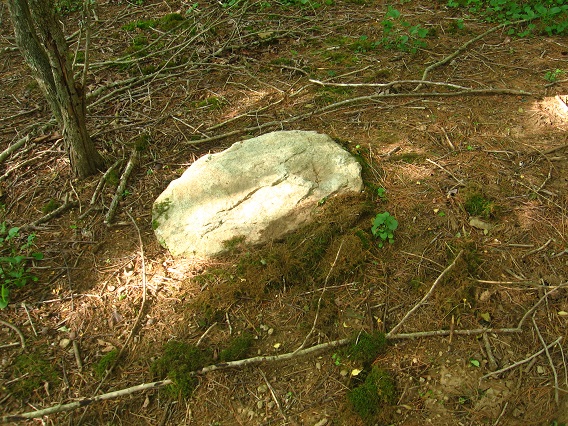
A rounded rock called, um, Welcome Mat, because it denotes the place where you ascend up from the Korean Channel into the wooded plateau of Whitehead X-ing, specifically the 4 Sticks region. This is on the main path through the area once more, or on the old Rocky Trail in other words.

IMG_0115smaller

A brand new find today: A perfectly diamond shaped rock found on a Whitehead Brook beach just below the 4 Sticks region. Too perfect, I feel. The beach has most likely garnered the name Diamond Beach as well, then, with Diamond Rock its epicenter. Hmmm….

IMG_0118smallest

Is this a 4×7 diamond? If so, it could be attached to additional, charged magic.

IMG_0120smaller

The Poisoned Gate seen from the Bug Fields to the immediate east of Grey Seal rock and No Title Spring.

IMG_0128smaller

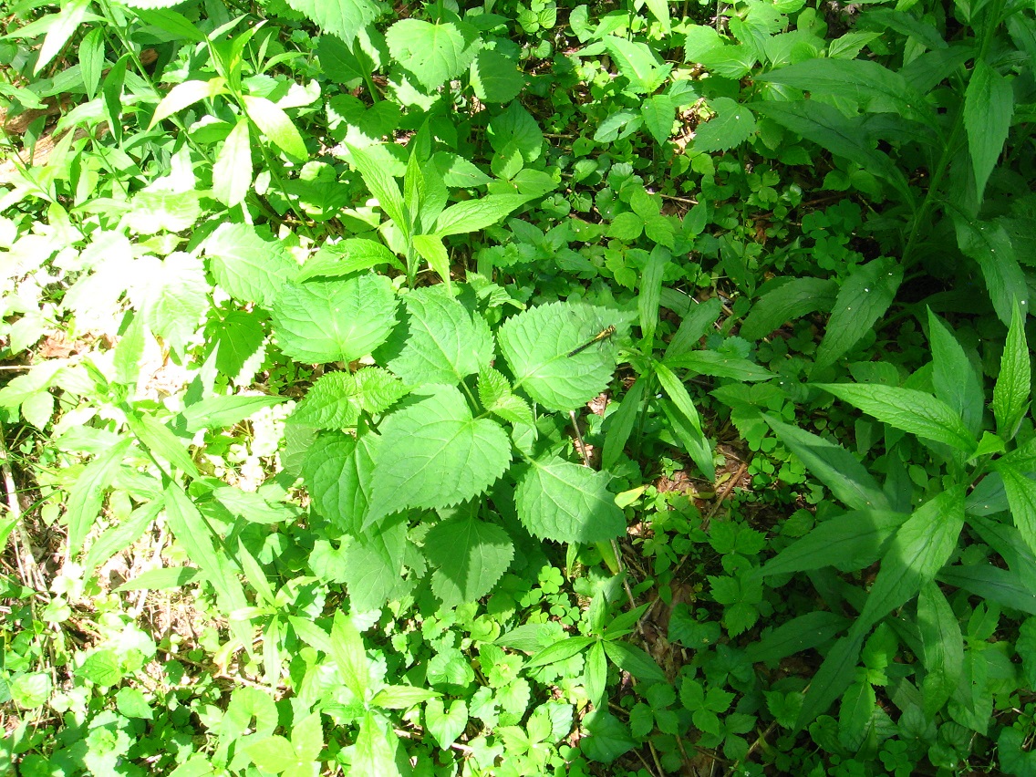
Yes, an interesting bug was found while walking through Bug Fields: a yellow dragonfly who was kind enough to pose for a snapshot for my blog. Thank you!

IMG_0129smaller

This seeming visage of a hawk or snake head at the edge of Bug Field reminded me of the nearby and more obvious Green Turtle visual effect.

IMG_0132smaller

Whitehead X-ing tree fungus.

IMG_0136smallest

A smooth and straight log laying parallel to the flow of Little Whitehead.

IMG_0137smaller

2 Comments

Filed under Frank Park, Whitehead Crossing

Whitehead X-ing, Late Spring 02

We come now to the blog post about Great Island and Rock Island, or the rocky islands marking the upper and lower parts of The Straightaway mentioned in Whitehead X-ing, Late Spring 01. Super important islands these seem to be, the most important within Whitehead Crossing by all present evidence.

First is Great Island, which may become “Rock Island” in the future (with current Rock Island changed to something else). All of this being part of a slowly developing picture, of course. I’m presently calling this Great Island, however, to emphasize its importance within WC/WX. First off, to me it quite obviously marks the very southern tip of Whitehead Crossing/Whitehead X-ing, and is also the much larger of the 2 islands I’m referring to here. The island is roughly cresent shaped, and maybe about 30 yards from tip to tip, and about 10 yards wide. I’ll have to check these dimensions in a future visit (perhaps today!). Besides its size, the other obvious quality of the island is its *rocky* nature: there’s little that *isn’t* rock on the island. If you could count all the rocks out visible to the naked eye, they’d probably number in the hundreds of thousands, perhaps the millions.

IMG_0069smaller

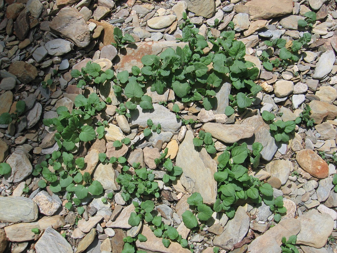
There are also some plants on the island, but almost all spring out of a rocky base, as with the below cluster. I’ll have to nail down what type of plants these are later on.

IMG_0075smaller

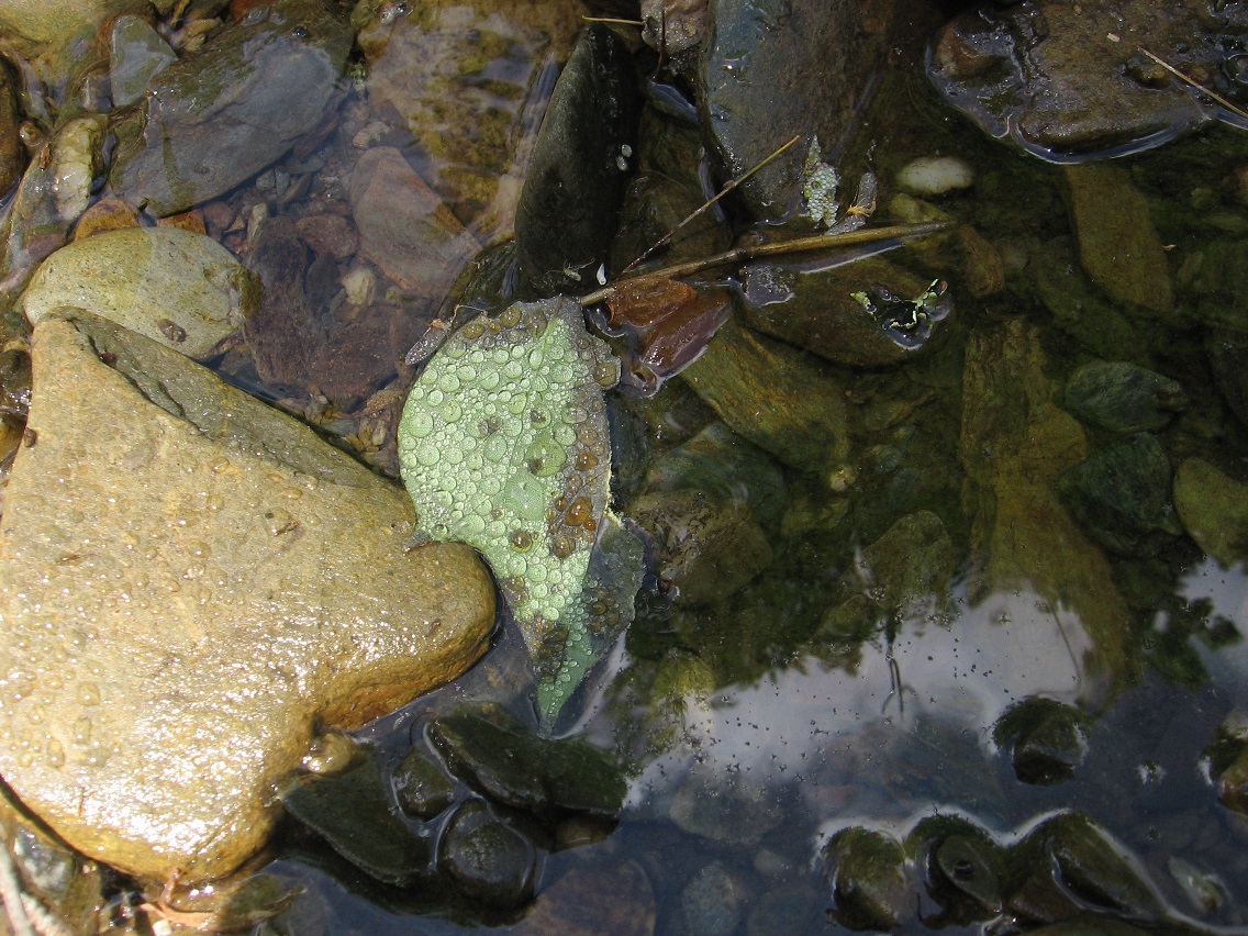
Rather interesting close ups of leaves with water beads. I’d like to take more of these pictures in the future.

IMG_0076smaller

IMG_0078smaller

The upper end of Great Island, with The Straightaway directly behind it.

IMG_0080smaller

Now we go to the opposite side of The Straightaway to Rock Island, a considerably smaller affair than Great Island but similarly chocked full of rocks from end to end. The roughly circular island is about 10 yards in diameter, and is pictured better at the end of this April post (2nd picture from bottom). The below picture is instead taken *from* Rock Island toward the upper end of the Korean Channel, where Green Stream disappears (from this direction) into the rhododendron thickets to the east of Whitehead Crossing’s center.

IMG_0084smallest

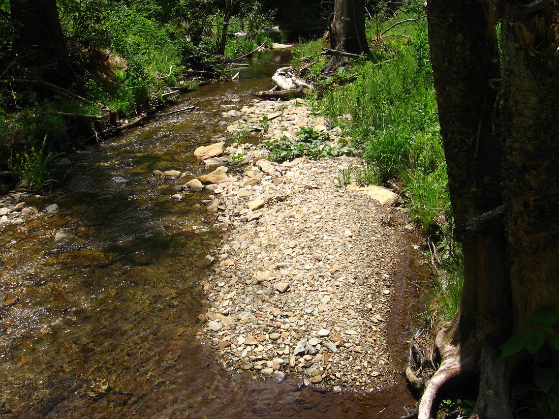
A rocky beach immediately downstream from Rock Island, also taken from the island itself.

IMG_0110smaller

Details from Rock Island:

IMG_0112smaller

IMG_0114smallest

(continued in Whitehead X-ing, Late Spring 03)

1 Comment

Filed under Frank Park, Whitehead Crossing

Whitehead X-ing, Late Spring 01

Unfortunately I deleted the first slice of my new Whitehead Crossing related photos last night when preparing this post. But I’ll probably take pics of all the deleted scenes soon enough. So let’s go with what we’ve got this morning. The first picture records part of the process of creating a “thinking circle”, or a place I would walk around in a big circle and just think out loud. I’ve made quite a number of these down through the years in various spots; *thinking* most recently in… well, actually I hadn’t made one of these in a number of years, and have forgotten where the last appearance would be. I use to have a thinking rock just outside of Boulder, within the Herman Park borders. I’d basically pace a small loop upon the rock while talking to myself about various, usually synchronicity related subjects. The stone lays below one of the park’s many carriage trails, jutting from the top side of a deep valley to Boulder’s west. But I haven’t been over there for many years. In contemplating the matter further, I *have* created quite a number of these loops, but usually they are of a very transient nature, and used only once or twice. But there are exceptions. Will the Whitehead Crossing contemplation circle (new name) be more long term in nature? Well, first I have to nail down the path of the loop, which I didn’t quite do this fine, late May day. The gray feather at the base of the tree pictured below might be an indicator on where the loop should be placed — I was looking for signs like this when continuing to pick out the path in test runs. If the loop is completed it seems to be of a ovoid shape, about 40 yards long and 25 or so yards wide, and centered by a large tulip tree which forks into two parts near its base.

More on that story as it develops during future visits.

IMG_0044smaller

A shot of the huge Knobby Log crossing Whitehead Brook near the center of the complex.

IMG_0046smaller

Bank of Whitehead Brook, opposite a small beach just upstream from Knobby Log or Big Log — haven’t quite settled on a name yet.

IMG_0049smaller

I didn’t take any pictures this day of the heart of the 4 Sticks area, which may also represent the beating heart of Whitehead Crossing as a whole. However, I certainly stopped in, as I always do when visiting WC, and took note of late spring developments. Yes, it truly seems to be an epicenter, and if I was — no, *when* I camp in the area — this is as good a spot as any to set up a tent. As with the creation of the Contemplation Loop, I’m very cognizant of the wildlife already present, with my aim to disturb and especially kill or eradicate as few of the native plants as possible. Contemplation Loop is being set up in the only logical place it could be within Whitehead X-ing, in a more open area with much fewer ground plants than other spots. The center of 4 Sticks also fits this bill, but within a much more limited range, probably too limited for the creation of a contemplation loop there. But I’ll talk more of 4 Sticks later on as well… this is probably where I’ll set the model train track down also (a la a Lion’s Roar), if it comes to that. 🙂

But to the below picture: Another thing I decided to work on today was identifying the main path through the Whitehead Crossing area, beginning at the Maine Trail (official hiking trail just north of Whitehead Crossing) and running all the way through the meat of the area — past the Contemplation Loop and Grey Seal and Cliffs of Dundee and 4 Sticks, etc. — to Green Stream, a distance of several football fields, perhaps. Just past 4 Sticks (heading to Green Stream) the trail seems to divide into 2, with the left fork quickly coming to a dead end, however. Instead, the less obvious, right fork is the way to reach the fabled stream, soon crossing the below log with a peculiar fungus attached to it now, looking perhaps a bit too much like a skull (?) Or looking at the picture a little better now, perhaps just an amorphous face with still identifiable eyes, nose, and mouth regions. The black and sparkly dots on the “face” may be insects of some kind — didn’t check when I took the picture. The same log had a large yellow fungus on its top a way’s up the branch, which I also took a picture of but didn’t turn out as well as this one.

IMG_0054smaller

As I’ve stated before, the Whitehead X-ing area is large and varied, with many prominent locations yet to be named. This would include the spot below, perched on the edge of a rather deep yet dry valley filled with rhododendrons, and marking probably an eastern edge of WC (or “WX”) as a whole. This would be between 4 Sticks and Green Stream on the main path through the area.

IMG_0058smaller

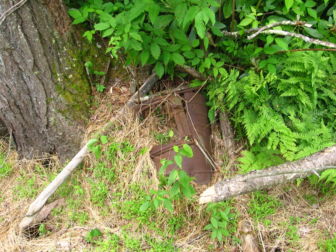
Reaching the flat plain surrounding Green Stream at the upper end of the Korean Channel, I decided to take a picture of Rock’s Rocket, first discussed in this Baker Blink Blog post from last spring. As you can see, Gene Fade has yet to find money in the “Fade to Moss” motion picture budget to paint the famed wreck, per Rock’s suggestion. Or perhaps Gene Fade thinks the rusted look will work better in the movie; can’t wait to see it, whatever. 😎

IMG_0060smaller

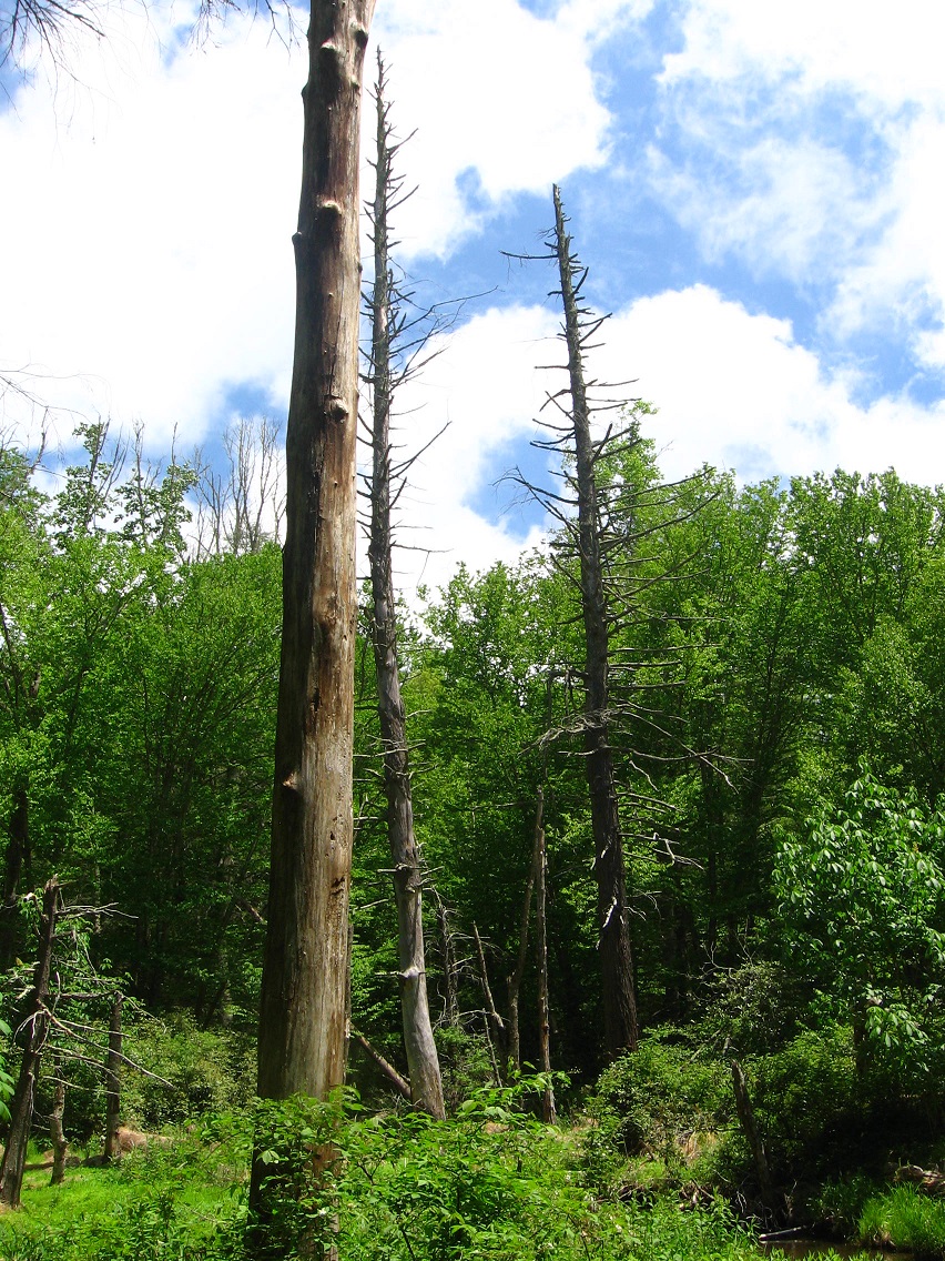
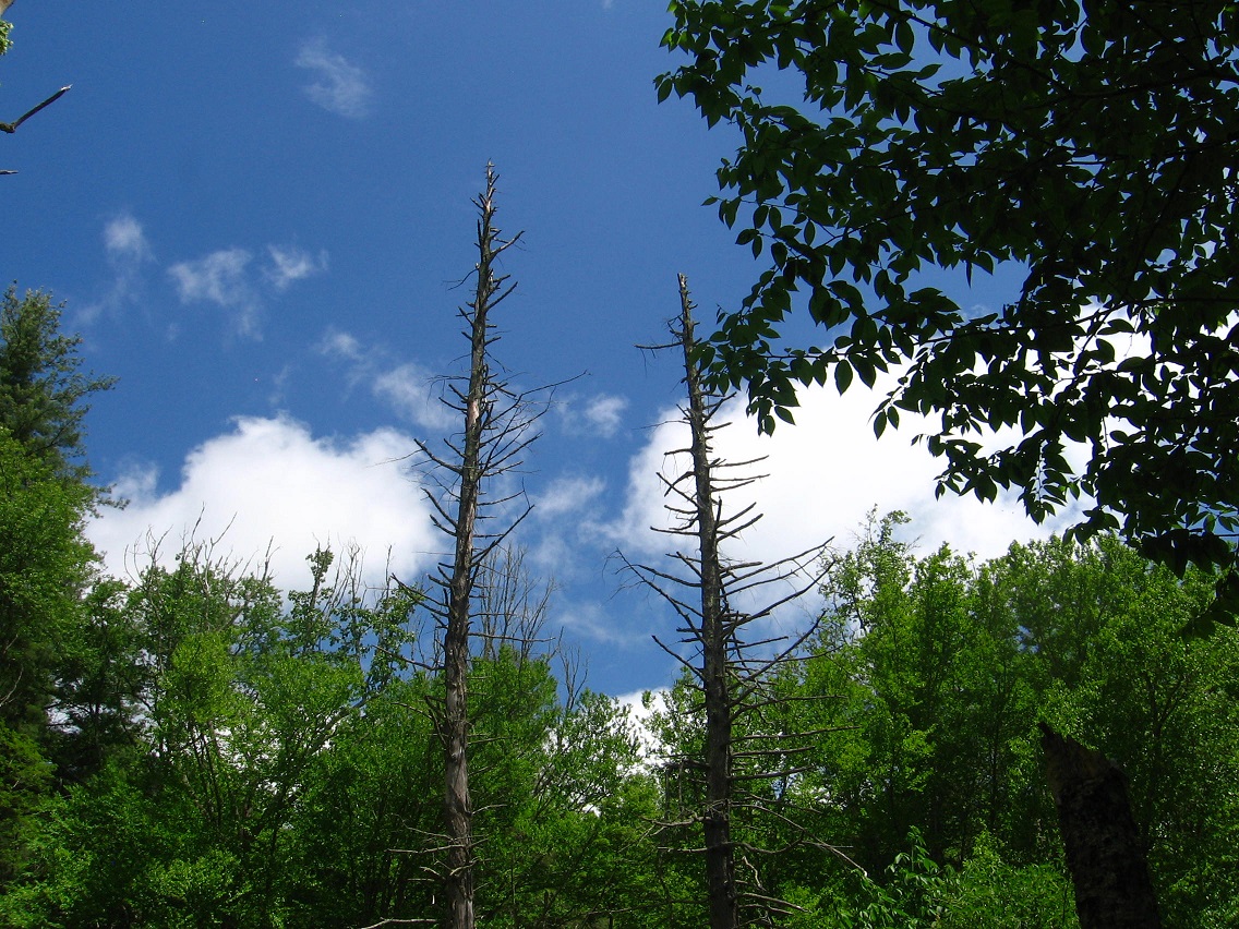
Another picture of those large, dead hemlocks positioned on opposite banks of Green Stream, marking a type of gateway.

IMG_0063smaller

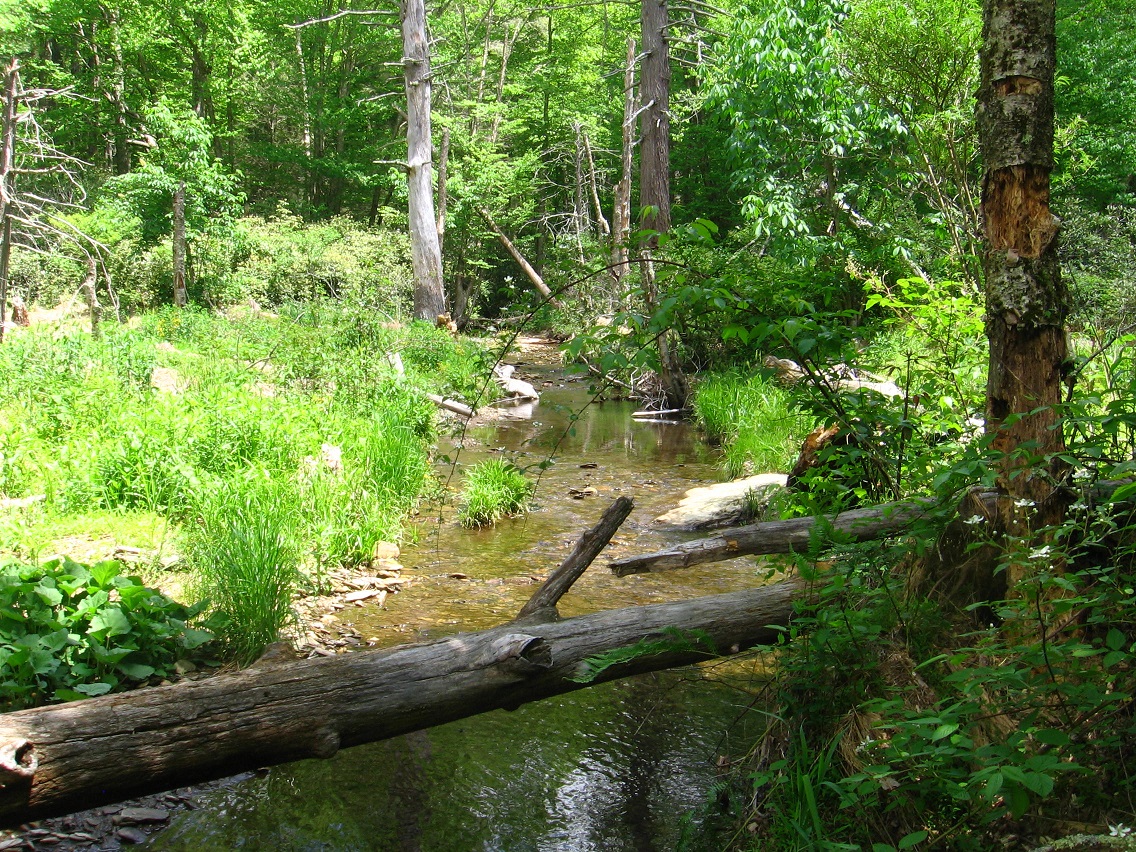
I’ve decided to call the passage of Green Stream through this gateway the Straightway, because, as you can tell from the below photo, the creek runs basically straight in this area, or from the northern tip of Great Island, which I’ll get to in a moment, and the very upper limit of the Korean Channel at another rocky island which I’ll also talk about below.

IMG_0065smaller

Mr. Blue Sky was very much in evidence during this day’s visit to the Korean Channel.

IMG_0067smaller

(continued in Whitehead X-ing, Late Spring 02)

3 Comments

Filed under Frank Park, Whitehead Crossing

Little Wiltshire/Whitehead X-ing Visit

TEXT SOON.
IMG_0002smaller

IMG_0008smallest

IMG_0012smallest

IMG_0016smallest

IMG_0021smallest

Leave a comment

Filed under Bill Mountain, Frank Park, Whitehead Crossing

Sharieland’s Heart Line (01), then Whitehead X-ing Trees

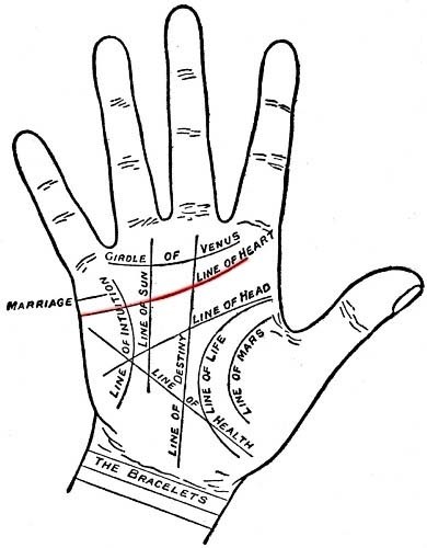
Heart Line is a path running from a postion between Heart and Head Lake to a road below Herman’s Mansion, cutting across the heart, as I interpret it, of his namesake park. I also assoc. it with the *Heart* Line on a *Hand*, positioned above the *Head* Line and whose lower end is just above the upper end of the *Health* Line. See the diagram at the end of this post.*

Below are two pictures of rocks found along Heart Line or Line of Heart. I’ll take more pictures this weekend, with accompanying text to be generated as well.

IMG_0002smaller

IMG_0003smaller

Neart a central point, Heart Line becomes clogged with rhododendron, but a path has been cut through the bramble still, allowing one to continue upward or downward. I should also note here that Heart Line is not an official hiking trail of the park, but has obviously been walked and even somewhat maintained as an unofficial one by certain groups of people in the past.

IMG_0007smallest

A holly tree marking an upper end of the meadow above Heart Lake — as seen from Heart Line, once more.

IMG_0011smallest

We move now to neighboring Frank Park, and a shot of a large and apparently dying oak tree just beyond the northern edge of the Whitehead Crossing region.

IMG_0001smaller

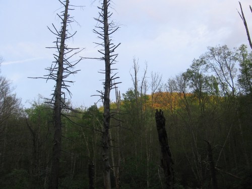
Greenmount from Green Steam on the lower edge of Whitehead Crossing, or what is also the upper end of Green Stream’s Korean Channel.
IMG_0007smaller

—–

* palmistry lines:
heart-line_large

Hucka D.:

You wish to ask about palmistry and hand, heart, health, head. Yes, the blueprint for the lakes of the park all appear in Sharieland, in the various paths that cut across the land just below Herman’s beautiful mansion in the skies. But there may have been more human intervention in these plans than you presently suspect. Perhaps Herman knew of the Heart Line. Perhaps Herman knew of the giant hand[ as it were], below the mansion. Pull up that Arkansas hand from before — Baxter County I believe.

bb:

Here it is, Hucka.

https://bakerbloch.wordpress.com/2013/02/01/if-odd-crazy-things-become-consistently-common/

Hand of Oppotubity

Well, certainly Herman’s Mansion is his beautiful *Mountain Home* in the skies, Hucka[ as you put it].

Hucka D.:

Herman wished to move his home into the mountains themselves, to become one with the mountains. He’s approving of your work, baker b.

MOUNTAIN HOME… FOLLOWING THE HEART. HEART LEADS TO HEAD. HEAD OF MOUNTAIN.

—–
2331084-billiards-cue-eight-ball-and-cue-ball

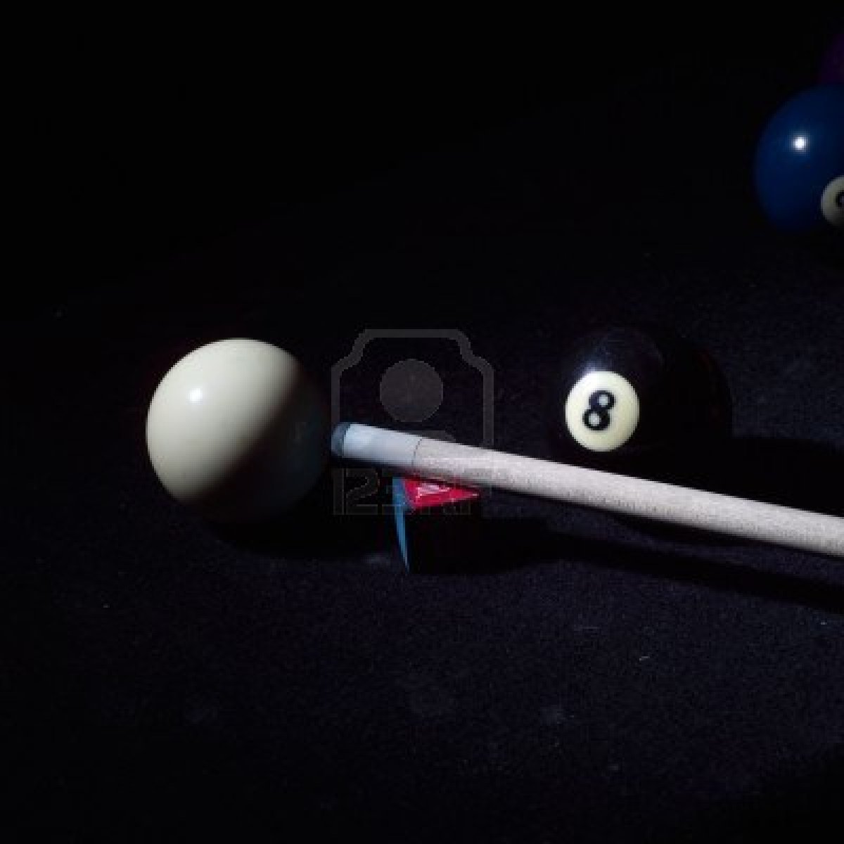
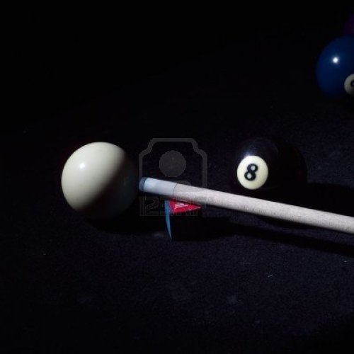
Herman saw his mansion positioned between cue and eight ball on the Mounds of Venus; his grounds as a giant hand — fingers as roads. Mansion equals 12345 between the balls. Cue ball was oblique in his living days. Cue ball and eight ball are two of the mounds here.

boy_beads_wwwboybeadscom_mens_billiard_pool_table_ball_cue_q_ball_8ball_eight_ball_bracelet_beads_mens_black

Some say Herman saw his mansion in a vesica piscus lying between the two mounds. Some say he wanted his mansion to be the third, central mound, completing the hand of his land [Land Hand]. He wanted to rooftops to be equal in elevation to the basically equal tops of Cue and Eight.

cueballeightball02

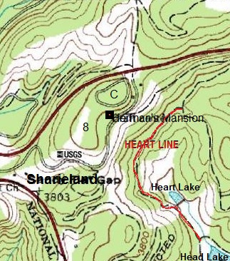
In this doctored map, the two mounds are clearly/obviously in the center: “8” marks the top of Eight Ball and “C” the peak of Cue Ball. Notice Herman’s Mansion is quite positioned between the two, reinforcing a vesica piscus interpretation. On this map I’ve also included the location of Heart Line (red) just downhill from the mansion, and also Head Lake and Heart Lake are marked.

—–

Hucka D.:

The 2 mounds would have to be those of The Sun and Saturn, don’t you think baker b.?

bb:

Suppose. According to this article…

http://psychiclibrary.com/beyondBooks/palmistry-mounts

Hucka D.:

Sorry to interrupt [again!], but that may be the Mount of Saturn and Jupiter, instead. I think this is what Herman thought when building his mansion. It is a cross between Saturn and Jupiter, the two largest mounds…er, planets I mean. And that makes sense when I’m looking at the map again through your eyes.

bb;

Yeah, thanks for adding that last part. Partial credit to me, then.

Hucka D.:

I’ll think about it. (smiles)

bb:

So here we go:

http://psychiclibrary.com/beyondBooks/mount-of-jupiter

http://psychiclibrary.com/beyondBooks/mount-of-saturn

handmounts

But can we go even *further* with this, Hucka D., and say that *all* mounds of the hand have correspondence in the landscape around the mansion. Obviously I think we can say that the Mound or Mount of Apollo corresponds with that flat ridge I explored a week ago today, where I felt a strong presence of fairies. Traditional palmistry has it that if a mound of the hand is too flat, it represents a weakening of that aspect in the personality.

Hucka D.:

Yes. *All* mounds are represented in the landscape, as you’ve guessed. You better study the history of palmistry.

cueballeightball04

3 Comments

Filed under Arkansas, Frank Park, Herman Park, MAPS, Sharieland, Whitehead Crossing

Sharieland 03

(continued form Sharieland 02)

Heading toward Herman’s Mansion from the ridge discussed in “Sharieland 02”.

IMG_0065smallest

Reaching the mansion. Herman often made jokes about his home being “behind the eight ball” when things went afowl there, like with the Termite Terror of 1902.

munsters

Path on Eight Ball Ridge.

IMG_0071smaller

While starting up the path, I was rather startled to see what appeared to be a fairy home at the base of a tree to my right. Very unambiguous!

IMG_0075smaller

Forks in the trail. This is where the central “eight” can be entered. Alternately you can just walk in a big loop (straighter path to left), bypassing the very top of the ridge. Being quite superstitious, Herman always walked the “eight”, and in a clockwise direction according to legend. He felt this helped keep bad luck away from the house. Herman accomplished the ritual almost daily, more often than not accompanied by his loyal wife Ethel.

IMG_0079smallest

http://www.phrases.org.uk/meanings/behind-the-eight-ball.html

One could possibly even make an argument that Herman originated the phrase, “behind the eight ball”, meaning to be in a sticky situation. I’ll have to look up if croquet was played on the grounds per reference to “Eight Ball Croquet” in the above article. A ridge just north of the house, a kind of direct continuation of The Eight Ball (but with a distinct, separate peak) has since been nicknamed Cue Ball, but there’s no record of Herman’s family coming up with this appellation.

8-ball-psd18695

And now we return to what appears to be the meat of Sharieland just downhill from the mansion. This interesting cement container seems to mark a northern boundary. Did something like “Welcome to Sharieland!” use to be scrawled upon its front?

IMG_0081smaller

Eye Rock (my name) a little above the container.

IMG_0083smaller

More photos and text concerning Sharieland soon enough! It seems to be a big, big topic.

1 Comment

Filed under Herman Park, Sharieland

Sharieland 02

(continued from Sharieland 01)

Still on the as yet unnamed ridge just a bit south of Herman’s Mansion, we have faint paths through cryptic trees.

IMG_0043smaller

A main road of the area is not far away from the ridge top.

IMG_0044smaller

A rock seeming to mark the end of the ridge in this direction.

IMG_0046smallest

Another one of those birthday balloons I find with some frequency around Herman and Frank Parks. Do they all possibly originate from the same huge birthday extravaganza? Still a mystery as to why they’re around for me.

IMG_0048smallest

Another enchanting ridge scene.

IMG_0050smaller

Perhaps another fairy hole, this time in a pine and filled with water.

IMG_0057smaller

There’s a nice creek with several feeder springs to the north of the ridge, another place I can’t remember exploring in the past.

IMG_0059smaller

IMG_0060smaller

IMG_0062smaller

Another possible fairy home near this creek.

IMG_0063smaller

(continued in Sharieland 03)

1 Comment

Filed under Herman Park, Sharieland

Sharieland 01

Before getting to Sharieland, I thought I’d begin with this interesting shot from Whitehead Crossing of a single leafed plant with 3 symmetrically arranged flower petals atop it. I’m trying to pay attention to such things — this would be beside No Title Rock, I believe, and taken about 2 weeks prior to posting it here.

IMG_0004smaller

To the main subject of the day now: This weekend I was fortunate enough to accomplish hikes on Friday, Saturday and Sunday all. Friday and Sunday sent me to what I’m, as of yesterday, calling Sharieland. “Sharie” is a portmandeu of words “fairy” and “share”. It is literally a fairy that likes to share, at least with other fairies of its type. The theory goes that the land immediately below and around Herman’s Mansion in Herman Park was riddled with the creatures, and perhaps they even use to interact with the humans who lived and worked there, perhaps even Herman himself or at least one or several of his family. In this way, they may be akin to the borrowers made famous by English author Mary Norton.
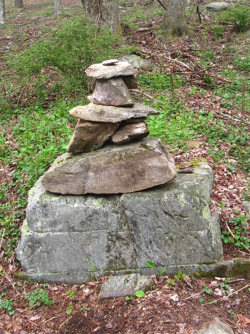
I first found clear evidence of a fairy culture in the vicinity of the mansion through this more elaborate rock cairn, extending itself beyond a mere single line stack of rocks. Is there a message within the multi-layered arrangement?

IMG_0008smaller

IMG_0013smaller

These pictures comes not downhill from Herman’s Mansion, as the above ones do, but from the ridge immediately to its west that, at its peak, rises a bit beyond the mansion’s rooftops. Herman himself named this low ridge The Eight Ball, and the path encircling and also penetrating its summit was a favorite of he and his wife.

IMG_0015smaller

IMG_0022smaller

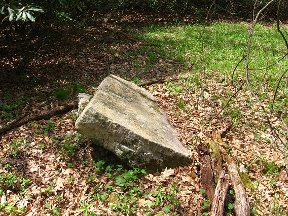
Squarish rock on the ridge.

IMG_0028smallest

We’ll return to The Eight Ball in a moment, but let’s shift to yet another location near the mansion: a flatter ridge not known about or explored before Friday atall, and just a stone’s throw south of the former. Actually, I first began to think about fairies in the area when finding this remarkably flat area and variously holed trees and stones within. A large-ish garter snake (below) pointed me towards the wilder interior of the ridge as I was walking past it on a carriage road, but I didn’t understand its message until later…

IMG_0029smaller

… after spotting this nice rock a bit off and above the road, about a football field’s length down from the snake. Its presence immediately lured me back into the woods, and soon I was exploring the whole extent of the flat top of the ridge it perched on the edge of. I’ll come up with a name for this rock soon; it’s similar in size, say, to Grey Rock of Whitehead Crossing, but without a topping stone (Seal Stone) in this case.

IMG_0030smaller

What might be the heart of the forest on the ridge, with a peculiar and admittedly a bit disturbing gash in the tree to the right here. Two holes, actually, but the lower and larger one seems quite like a wound, so much so that I found I didn’t want to put a close up of it in this blog. What is the story behind this? Is it really a “wound”, perhaps one that can’t heal? Does it tell something about the fairies of the area?

IMG_0032smaller

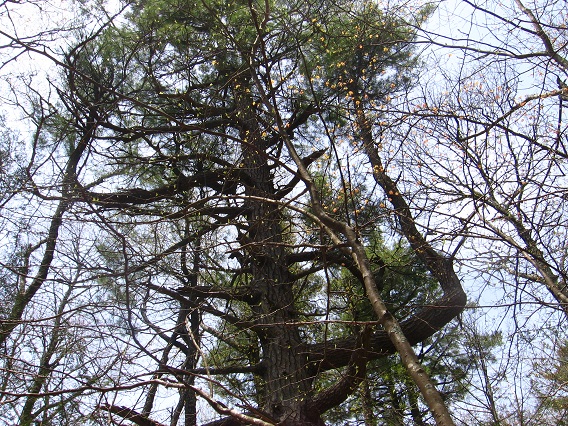
A towering pine tree further south on the ridge.

IMG_0037smallest

(continued in Sharieland 02)

3 Comments

Filed under Frank Park, Herman Park, Sharieland, Whitehead Crossing

Whitehead X-ing Notes 02

I believe the Mossmen knew of their relation with Mormons (Latter Day Saints) when coming into contact with The Bees of Greenhead at the top of the Korean Channel. The Bees may have made them aware of this. “You are like The Mormons”, they explained, and said the Mormons, when finding The Bees, knew they had reached Zion or the Promised Land. “We will show you everything about this land because it has been prophesized that you would come,” The Bees then said. “But there is one more to enter,” which turned out to be Whitehead or Blue Skies Mr. “For The Mormons, the prophet was at the beginning of their history. For you Mossmen, the prophet only surfaces at the end of your journey, after you found your own Zion here at [Whitehead X-ing]. Now we only have to wait.” And wait they did, for — years, until Rock’s Rocketship crash landed at the top of the Korean Channel. A fairy from Maine enters Whitehead Crossing at the same time, and establishes a home to the east of Green Stream from the crash site. The Bees have prepared Little Whitehead for the coming, creating the Green Turtle (for example). Rock would see the Green Turtle, and know he had entered 3 (Edward Stone) beyond 2 (Seal Stone). He had reached Home. The Emerald was also prepared there. The bridge at Green Turtle/Edward Stone as well. Rock knew he had to create Home on this finger of land between Whitehead and Little Whitehead. The Fairy had already left the area, but was the first settler. The Fairy exited (east) as Rock entered (west). Rock sorta kinda took his place. This was the only way Fairy could escape in first place? Fairy put out an ad: come to Whitehead Crossing and replace me and allow me to be set free. Well, he probably disguised the “being trapped” part. But Rock was eager to take a role in the cosmos, and applied from his home in Syncher Creek Designated Mystery Area (designated afterwards). “Your grave becomes the grave of the Unknown” at Dogpatch, explains Fairy to Rock, after Fairy is set free. They talk via “telephone”. Dial phone.

The Mossmen would spread out and settle the whole Korean Channel and beyond, much like the Mormons spread out and settled the Mormon Corridor.

One was able to first dial a telephone at “4 Sticks” in Whitehead Metro Area. White Rock is like an illuminated finger doing the dialing. White Rock is a pencil doing the dialing. A Rock and Roller answers. It’s Elton, but not to be confused with Elton John. But it still could be Elton John if you know what I mean (I don’t).

http://www.myspace.com/video/bart/marc-warren-as-elton-pope-on-love-monsters/57569781

Okay, and roller skates sung about in that 6+ minute video (!)

“What did you say you were?” ask The Bees, already snickering. “Mossmen” came the answer. “Mossmons?” came The Bee’s reply, pretending to misunderstand. More snickering. Main Mossman (Mossmain) said, “no”, without humor. “I said Moss*men*”. The Bee clicked and shook his head. “So close, so close, what a shame.” The Main Bee (Hucka?) looked over his should at the others, then returning, saying “Because the bees and I.. we’ll, we thought it might be *Mormons*.” All The Bees erupted into full laughter, some doubled over, some on the ground rolling. The Main Bee then attempted to explain: “You don’t get it. This has happened all before, Mossmons”, for the Main Bee was to joking refer to the Mossmen as Mosmons from now on, always to laughter or giggling or snickering if other bees were accompanying him. “Who are these Morrmons?” returned Mossmain, who also shook his head but out of confusion instead of mock indignation.

Summary of what happened next:

The Bee explained that the Mormon’s prophet came at the beginning, but for the Mossmen it was at the end, after they had already found their personalized geographicalized Zion. (NOTE: Zion mentioned in HT a little before the “Korean Channel”).

Leave a comment

Filed under Frank Park, Whitehead Crossing