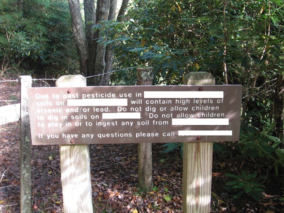
I have VWX Town for another month now.
Hucka D.:
Good. Too much information to leave behind. I understand.
bb:
Carrcass-10 [or whatever] is steaming along now. Using artists I hadn’t before, with a new appreciation coming into play perhaps.
Hucka D.:
You see the end now. Of the present system.
bb:
Yeah, I suppose. And then I’m hiking, of course, and generating photos from all that. Exciting time of the year!
Hucka D.:
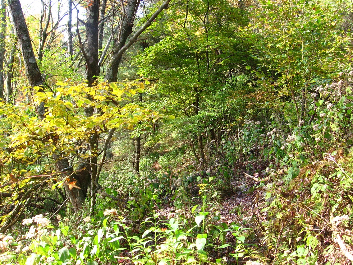
Where to put your priorities? You don’t have to rush with VWX Town now. Explore Heterocera more. It’s not quite dead. Pepper is center.
bb:
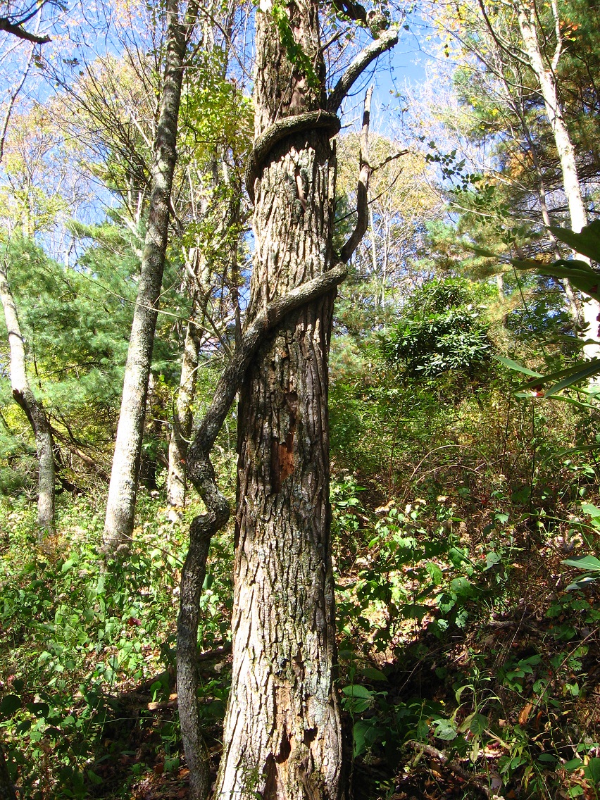
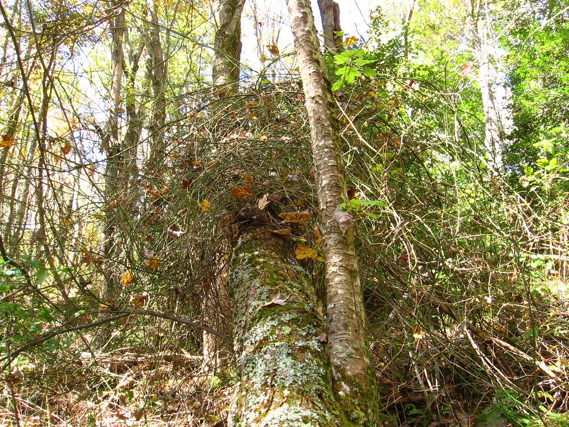
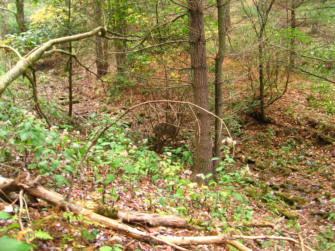
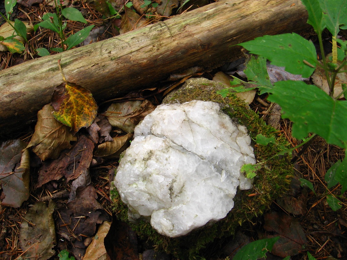
Brought forth from the edge to the center, passing between Greenup on one side and Yellow Down on the other side. Brown log equals Brownie, now known as Dark Space. Pepper was pulled through Dark Space from the edge to move to the center. This must be important.
Hucka D.:
Important must this be.
bb:
What is the meaning?
Hucka D.:
Study Pepper. I’m here to help. Make Pepper a link there.
bb:
How ’bout here[ instead].
Hucka D.:
Good. Let me look over your shoulder and study it.
bb:
You’ll have to get a stool.
Hucka D.:
Of course. (pause) Where’s our stool again?
bb:
Never mind, I’ll lower myself down so that you can see.
Hucka D.:
Thanks. (pause as Baker lowers and adjusts for comfort) I see that…
—–
bb:
Actually the post is here, Hucka D. I’ll just give the link in full and let the blog do the work…
Giving It All Back…
—–
And here’s the actual, direct link to the Sgt. Pepper symmetry information I was wanting… we were wanting.
http://invanddis.proboards.com/thread/5758?page=2
Hucka D.:
Okay, first of all Lt. Pepper spraying the pepper spray in the center of it all is the same as Sgt. Pepper.
bb:
An upgrade. Probably your line there.
Hucka D.:
He was brought forth from edge to center to match the water goddess, as hot pepper [spray] is associated with fire, the opposite of water.
bb:
Correct. So Lt. Pepper is matched or paired with the unnamed water goddess right off the bat.
Hucka D.:
And the Sgt. Pepper cover is composed of *cutouts*, just like Lt. Pepper is a [virtual] cutout.
bb:
He’s just cleaning up after the Westies and Southies after all. (smiles)
Hucka D.:
[Cutout] like Ranger Johns and Biker Jones. Like Ben Thar the attendant of your city hall. Like Cardboard[ Cutout] Derek Jones, no relation to Biker.
bb:
No, I don’t think so. So C. Derek Jones must be pretty happy that Central has been totally remodelled, and in the style of Westside with all those palm trees.
Hucka D.:
And we have a palm on the cover of Sgt. Pepper. Palms, because of the hand above Paul’s head. Another palm.
http://invanddis.proboards.com/thread/5758
Paul’s head is portrayed on the limb of a tree just as the story requires. Sgt. Pepper shows a palm tree on the far right, but as you can see in the image below, there are two palms on Sgt. Pepper. One is literal; the other is a picture pun over Paul’s head: An open hand, palm forward. The arm that holds the palm over Paul’s head may rightly be called a limb, so Paul cleverly portrays a death’s head on the limb of a palm. (To further sweeten this pun, the man’s name is PaulM).
bb:
I can’t see. You’re too low to the ground. And stop taking my computer away from me! (laughs)
Hucka D.:
Two palms, then. Like 23 and 46. Oh, did you get the number game? 4 and 20. Like Lincoln’s emancipation speech.
bb:
Um, that’s actually 4 score and 7 years ago, Hucka.
Hucka D.:
Oh… right. So 4 score x 20 is 80 years, which is the time relevant.
bb:
80 was the number of posts in the Gene Fade Mtn. rock event, Hucka. [LINK]
Hucka D.:
Central is the Sgt. Pepper album cover now. Work on that.
bb:
Well, in looking at it we *do* have the crashed and flaming car to the left, corresponding with the blue Buick nose down in the water to the left of Lt. Pepper as we’re facing him.
Hucka D.:
There ya go. That defines the limit.
bb:
There are a considerable number of Sgt. Pepper images in the Art 10×10 and the Art 10×10 extension, Hucka D. Maybe I should log on — *log* on — and take a look at them… for them.
Hucka D.:
You log on. You appear at the surface, the opening. You are at center, like your home [base/starting point] is just in front of Lt. Pepper now. So you can reach your stuff as quickly as possible. For you are Lt. Pepper as well.
bb:
Makes[ a kind of] sense.
Hucka D.:
And the nose down car of *both* Sgt. Pepper and your VWX Town — balanced by the nose of the giant, unnamed head poking through the pink curtain. Pink and blue can be seen as opposites, like girl and boy. Little Boy Blue and Little Girl Pink.

bb:
I’m going to log in and take a look around while you keep talking, Hucka D. Keep talking, though, I mean.
—–
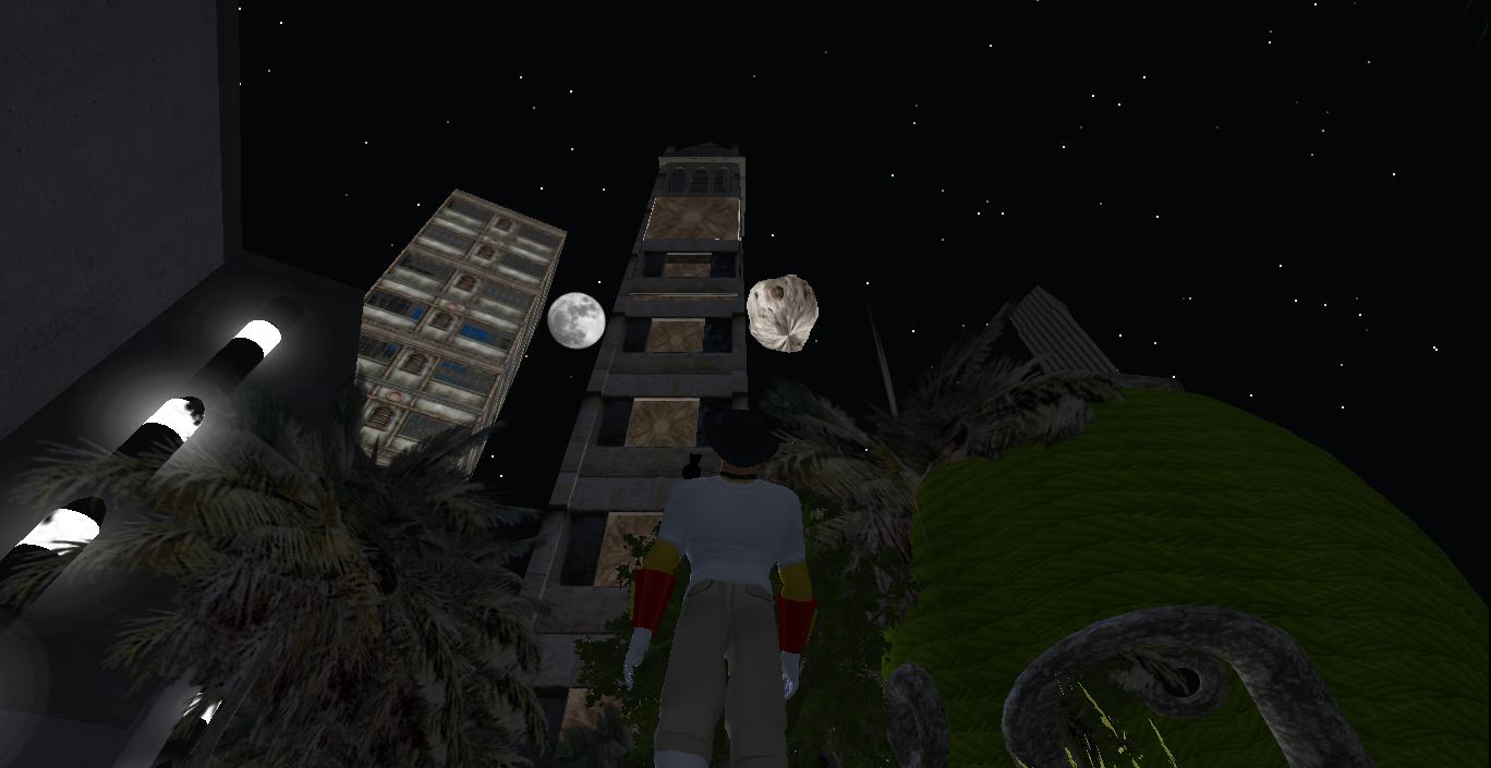
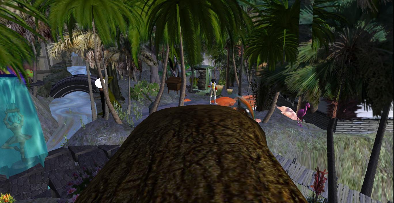
bb:
I don’t know what those circling two lights are up there, Hucka.

“The [dragon] pepper exists between the Lt. and the water goddess. Both are spraying… both are emitting sprays.”

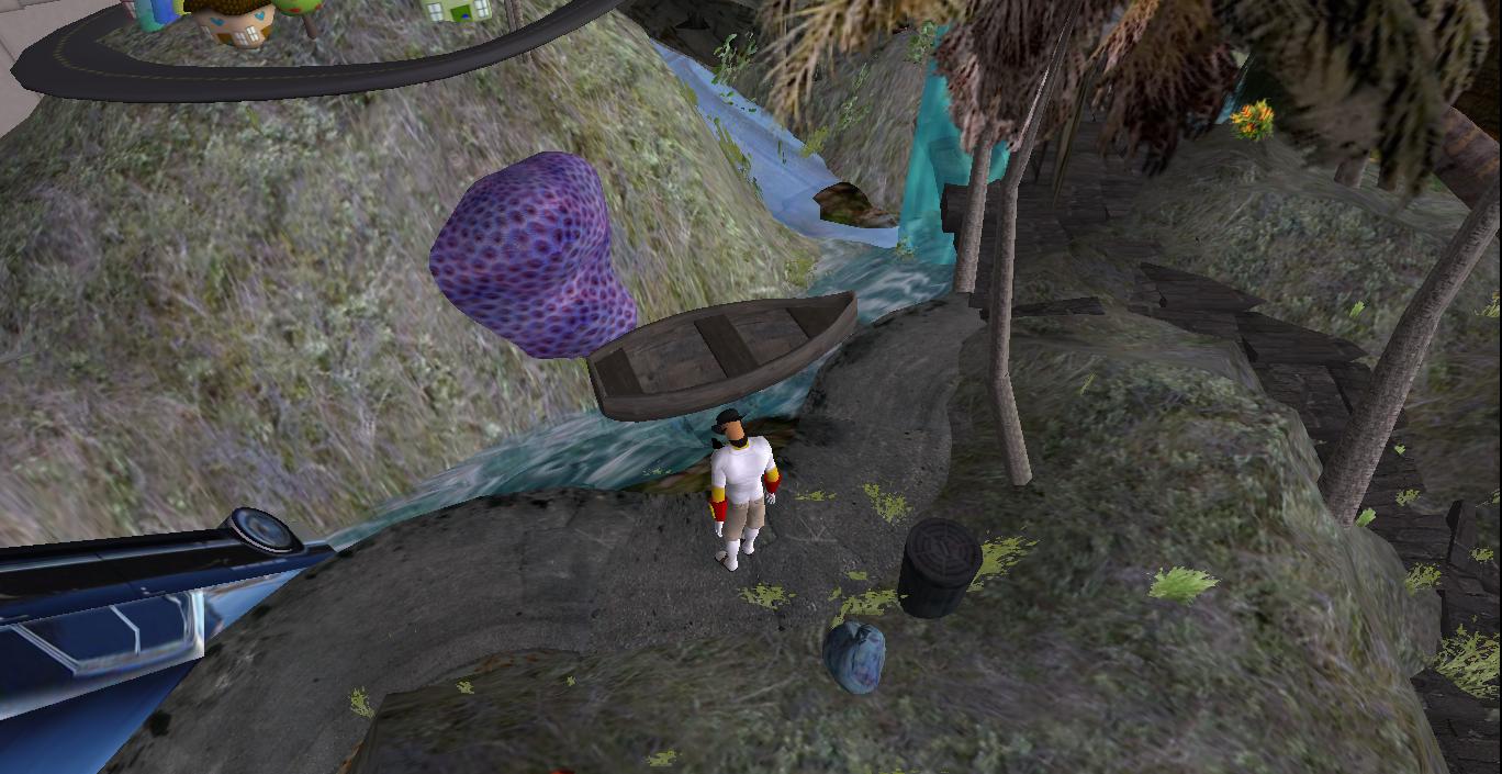
“The row boat exists about the same place as the null position on the other side of Lt. Pepper. What I mean by this…”
Hucka D.:
I know what you mean by that. Yes, the row boat is stuck, like it would be stuck at the null position where the two flows of the stream north and south, impossibly meat and cancel each other out. I’m here to help.

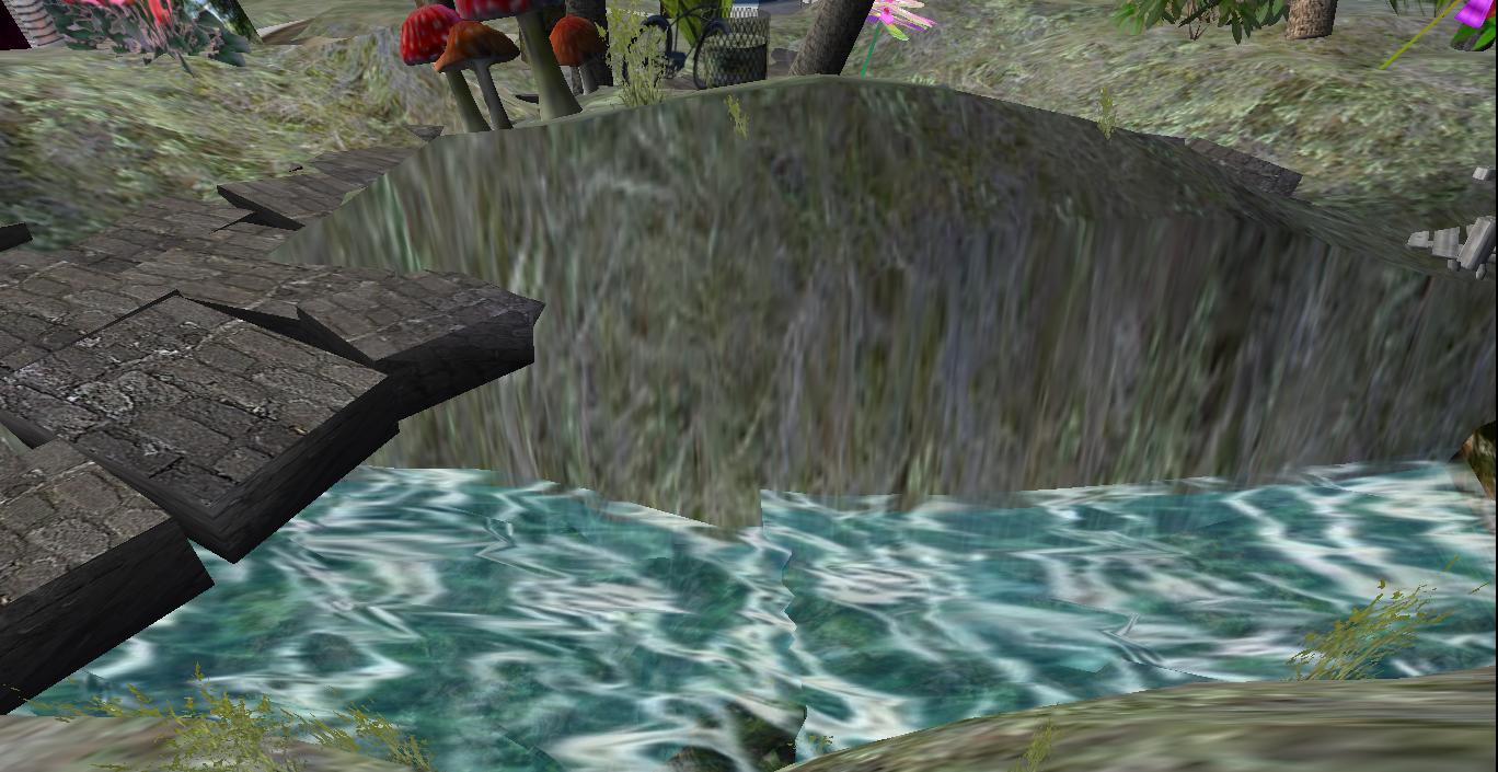
“First prim is directly above the null spot on the bank to the west. I’m sitting there and looking directly down at the clashing flows.”


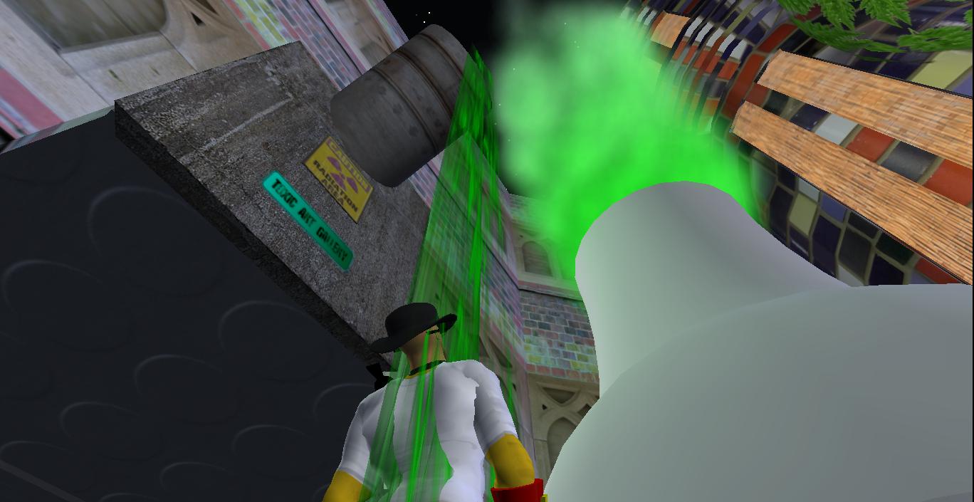
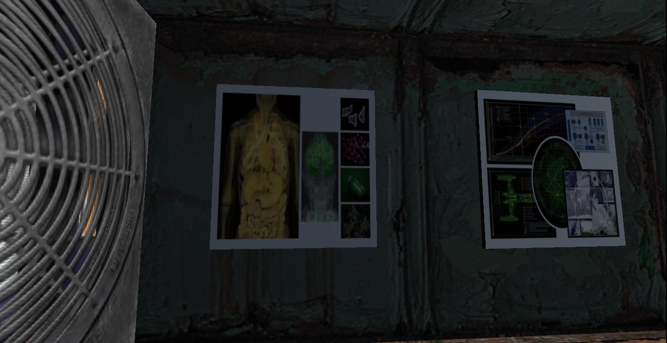
“Then it’s obvious that the green waste pouring from the pipe on the Toxic Art Gallery — toxic waste we must assume — is the same or directly associated with the green, nuclear waste smoke coming from the reactor.”

“And this balances the volcano on the other side of Central now, with its own, similar shaped, attached building. This was kind of a conscious association when I placed the structures, Hucka.”

“The pink flamingo even balances the blue water goddess like the Buick does for the pink shrouded head.”

Hucka D.:
You can talk to any of these characters. You can call another town meeting. I’ll be most happy to attend.

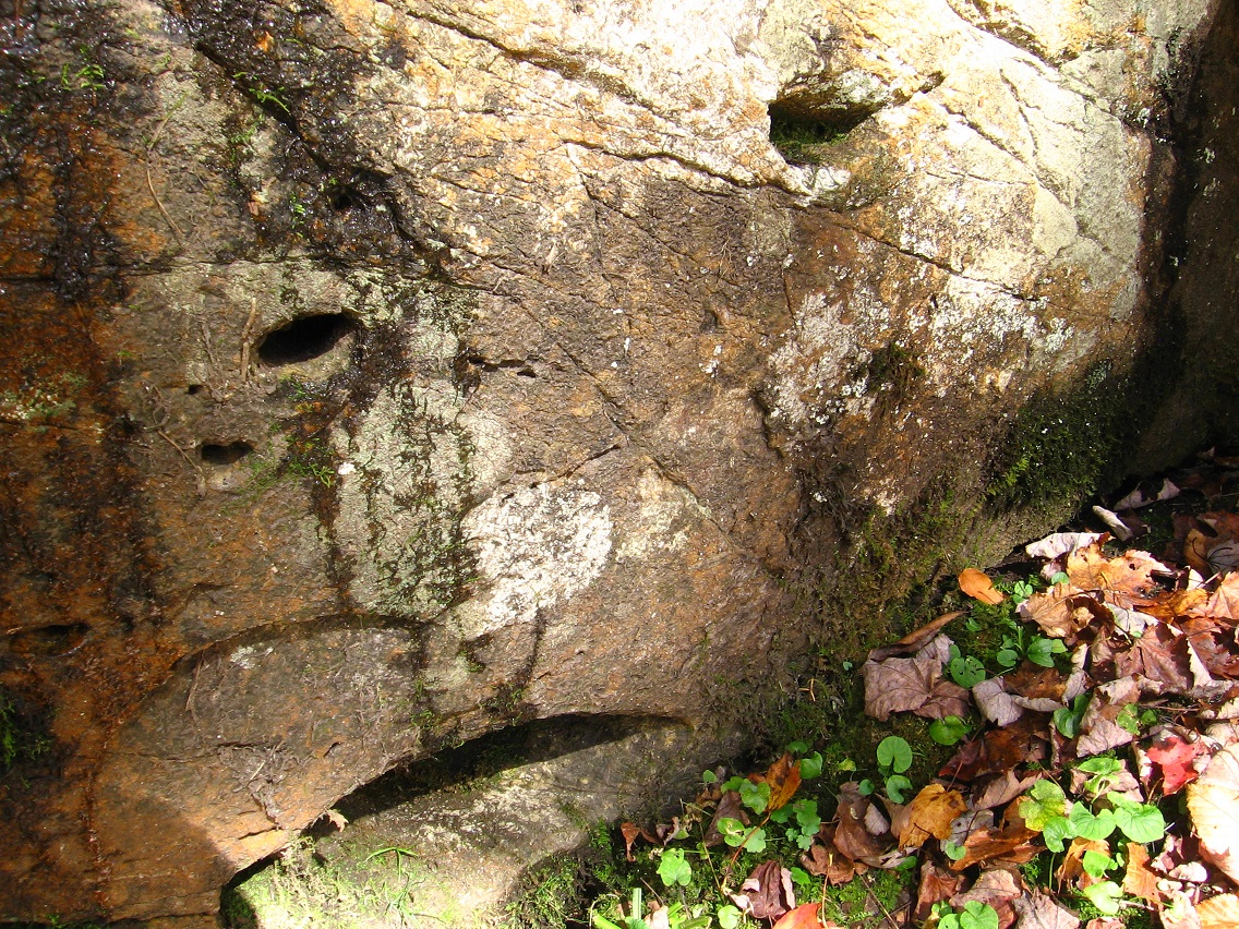
A yellow cat eye stares back at Baker while he stands within Hole in the Wall. He’s been here too long. Logging out!
—–
VWX Town [Central] has been reborn like Sgt. Pepper equals the rebirth of the old Beatles. Replacement band.