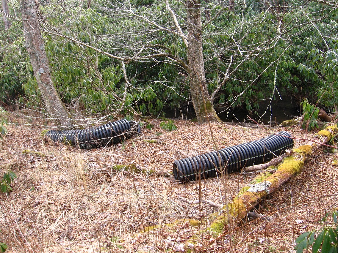
Another interesting hike occurred perhaps the day after Korean Channel exploration. The focus this time was Greene Knob and a stream which tumbles off the side of it. No, I’m not talking about Falmouth Creek or Con Creek this time, but the creek *between* them, another as yet unnamed feature. It’s almost entirely hemmed in by rhodododendron from its source to Jacob I. Road, a distance of 1/3 to 1/4th of a mile. But at various points the stream is still accessible if you’re willing to bend down under the rhodo for a spell. I’ll have more to say about this creek soon. An appellation is needed, obviously.
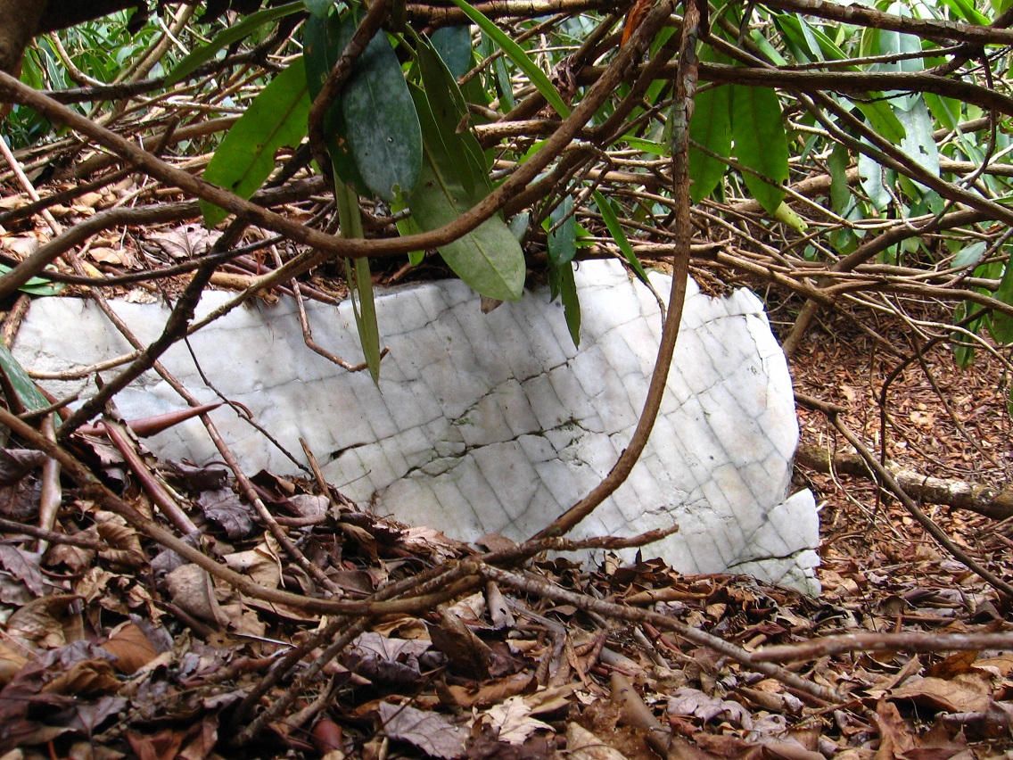
Larger rock near the stream’s source.
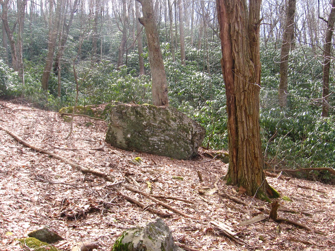
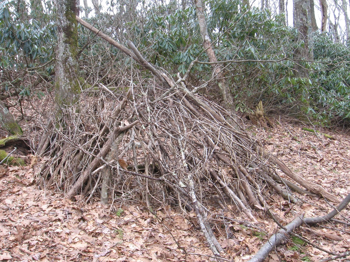
On the same hike I ran across this obviously man-made shelter near the top of Greene Knob, after I ascended from Jacob I. Road. Height gained: 500-600 feet. Again I have no idea why someone would make this. Did someone actually use it for a shelter for a number of nights? Of course the culprit might have been now local legend Michael Too — a good chance.

Large meadow atop Greene Knob, just above the shelter. A number of white rocks appear in the foreground.
Then on the downward side of the ridge with the shelter (Shelter Ridge, then?), comes not one but several rock ledges of some significance. The below photo shows a point where you can descend to get to both the largest ones.

Ice flow in one of the rock ledges. I’ll return soon for better pics; I deem the ledges a pretty significant find. They exist directly west of Whitehead Crossing, which lies at the base of this same mountain, or, more accurately, in the Green Stream valley between Greene Knob and neighboring Allen Knob.