“Do you think Mr. Dundee could have made a pact with The Devil, Hucka Doobie?”
Hucka D.:
Explore that idea.
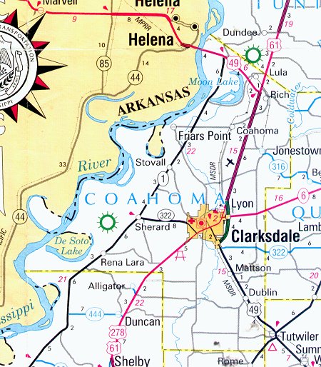
Ocahoma: 61×49!
bb:
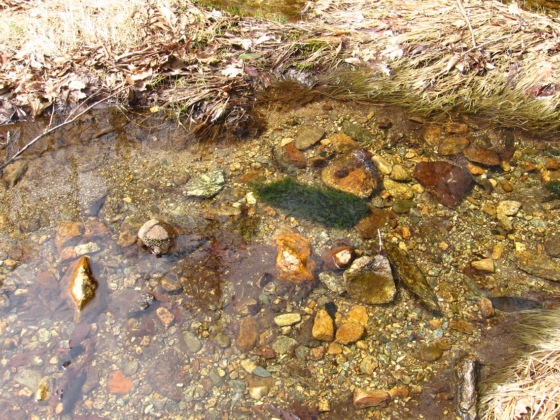
And an Australia Landing now found very near Duncan and Alligator. Coolie! Maybe Dundee’s power acquired through wrong channels was the ability to turn collages into paintings.
—–
Whitehead X-ing Timeline:
Mossmen reach Korean Channel through Portal System. Silverburg equals early base.
Mossmen establish Red Head near top of Channel. Contact with Bees at their neighboring Greenhead. Realization that they had psychically switched colors red and green with each other.
Whitehead moves into Da Woods. Retired.
Whitehead is not Whitehead before retirement. Is Red Head? Greenhead? He is a future ghost in his whiteness. Grave may be his nearby.
Explore idea that pre-retirement Whitehead is a Greenhead, or maybe a Mossman himself.
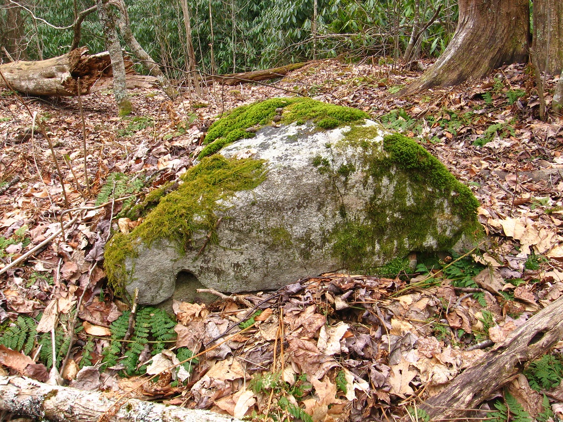
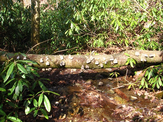
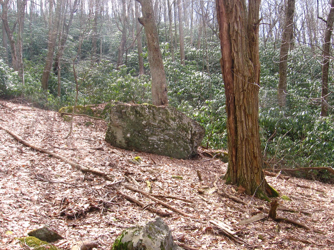
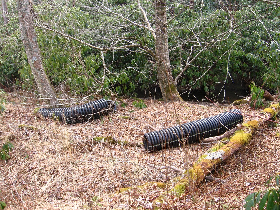
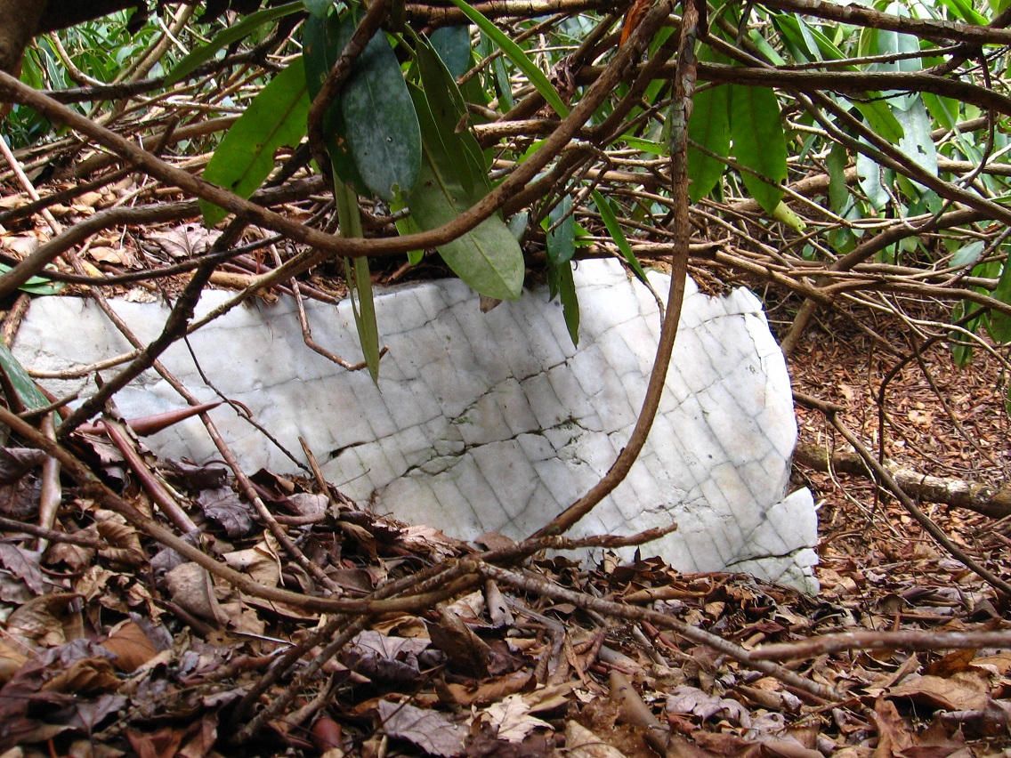
What is the relationship between Whitehead and Sinclair, then? Sinclair has his own Toy Room in the Synching Creek Mystery Area. On Sign Line. Primary creation Rock moves away from him and establishes own center at Rock’s House and Lee Triangle (confluence of Sign and Sink Lines). Then he creates Rocket to escape Mystery Area altogether. Lands in Blue Mountain at top of Korean Channel. Symbolically moves up Rocky Trail past Grey Rock/Seal Stone to Edward Stone and its Green [*Moss*] Turtle. Crosses fairy bridge (footbridge) but some say he crosses higher bridge across same Little Whitehead.
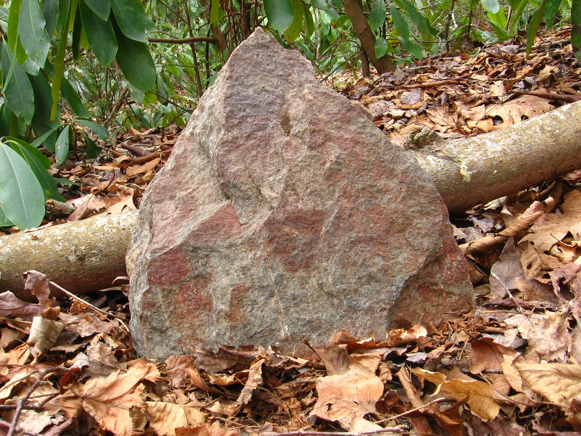
Edward of namesake Edward’s stone or Edward Stone. Like Emerald City of Oz, and has its own (The Emerald) (grass top — green before all else around it in Spring). Edward may be the same as Mr. Dundee and if so lives in Dundee Castle atop Dundee Cliffs. Changed his name from Edward to Dundee?
Moss Turtle perhaps created by Mossmen — would make sense.
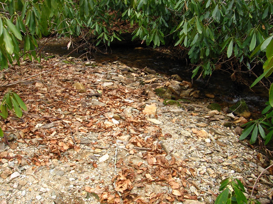
Who lived in the Fairy House across Green Stream from Whitehead Xing? Was this Rock as well? I believe it is the entity that put Seal Stone atop Grey Rock. He also created or bought or otherwise procured a Crocodile Rock, later “assimilated” by Australian Dundee. There was a female entity named Sharon who controlled the (Seal) Stone, which may be the same as the Edward Stone.