Norris Stream flowing straightly beside Money Pot (right). Money Hill perhaps, but I like Money Pot.

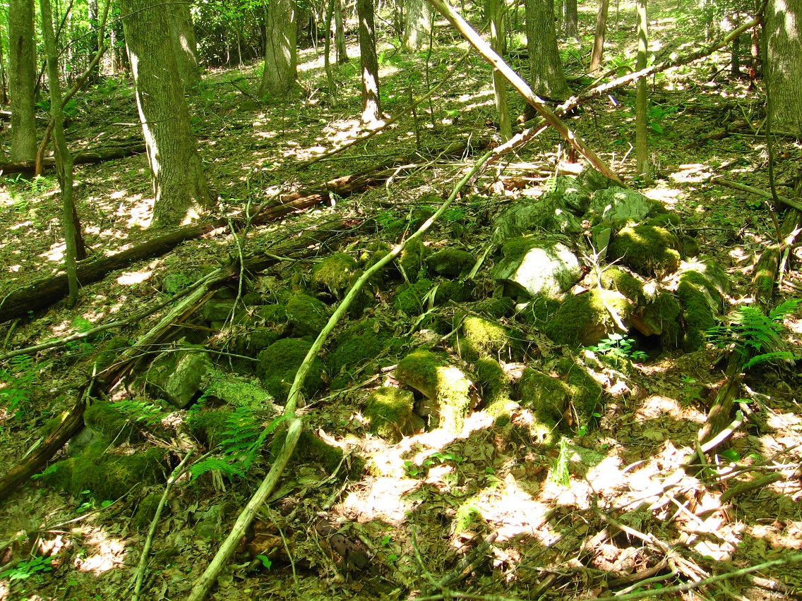
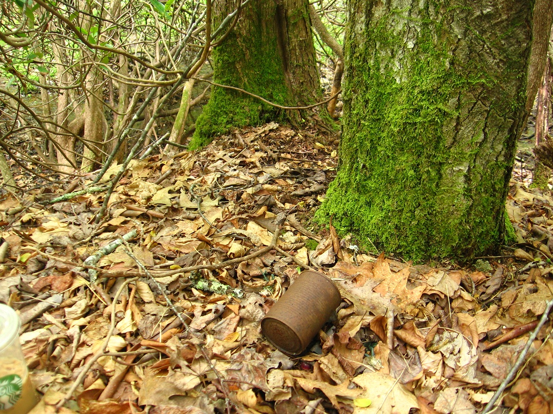
Here’s the actual top o’ the pot, then, complete with rustmobile. Elevation is perhaps 10 feet above surrounding landscape. Rumored to be burial place for 1,000,000, courtesy of Michael Won, interestingly enough. Not Michael Too, mind you, who is different. But Michael Won. More on that soon, perhaps.
Another possible name for this knoll is Peewee Big. “Peewee”, because the knoll is not very big. “Big”, however, because of its importance as a buried treasure site according to legend. So, yes, a variant name would be Peewee Big.

At the upper end of the straightway pictured in photo 1 above comes Root Bridge. We’ve already reviewed this bridge and Money Pot in earlier blog posts, and there’s a whole category called Frank Park/Norris Brook pertaining to this.

Just a note that the whole area of Money Pot and surrounding flat land is traditionally called Houston, consciously named for 2 counties tagged Houston in our fair US of A. These two “corner” counties, 1 in Minnesota and the other in Alabama, stand for the numbers 2 and 3. This connects with the 1968 election of Tricky Dicky Nixon for US president over runner ups Hubert H. Humphrey of *Minnesota* (*2nd* in votes in the election) and George Wallace of *Alabama* (*3rd* in votes). Also in the Minnesota version of this county is a conjunction of Money Creek and Root River. Pink Floyd famously crooned about money being the root of all evil in today’s society, and that also fits in here.

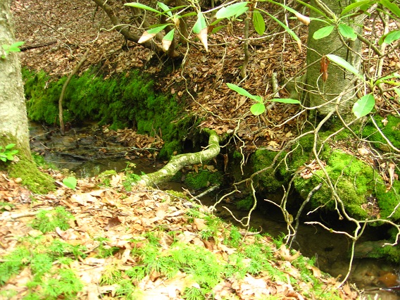
Moving a bit upstream from Houston we find this confluence of more interesting rocks that might mark the heart of Norris.*

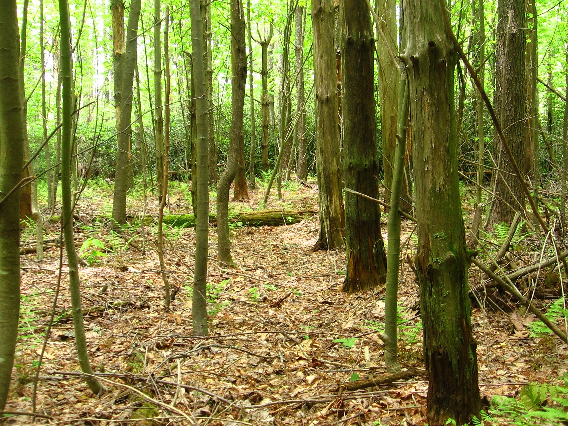
We now return to New Monkey City, which may be the same as New Sharon. Two ladyslippers grow and bloom near the top of the ridge. Many more — I believe I counted 13 or 14 — grow just over it to the north. Beautiful. I’ve hiked a lot through these woods recently but didn’t stumble across any more ladyslippers. So this side ridge of Howl’s Knob is identified with the flower, and, through it, Mythos’ Sharon with its Ladyslipper capital as touched on before. I have a story now about how the last people of True Sharon bought or rented a rocketship in Edwardston to travel to Blue Mountain to escape the unification of Wazob, and formerly independent Sharon turning into a “mere” province of Wazob called Chrysoberyl. This was, in fact, the last piece of the unification. The ind. of Sharon from Wazob has resonations with ind. of Texas from U.S. (us) from 1835-1845.

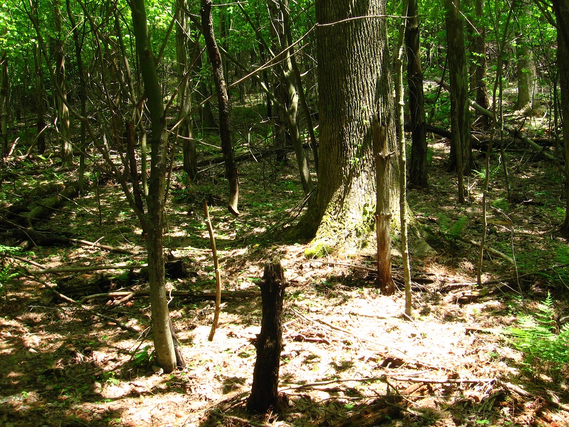
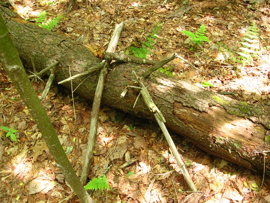
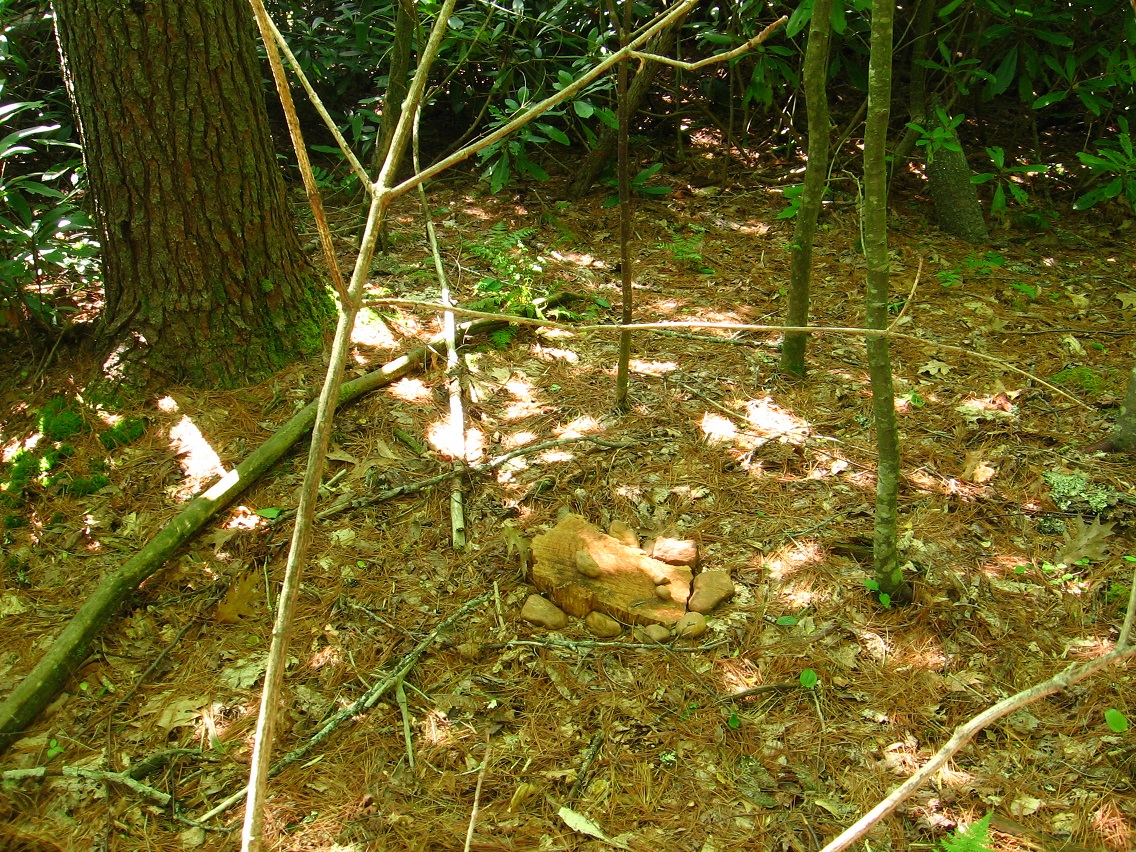
New M.C. or New Sharon’s own 1st Tree, and another pine just like the case with the same named tree in Whitehead Crossing’s Four Sticks. The wood chunk and rocks of Monkey City lie just before it.

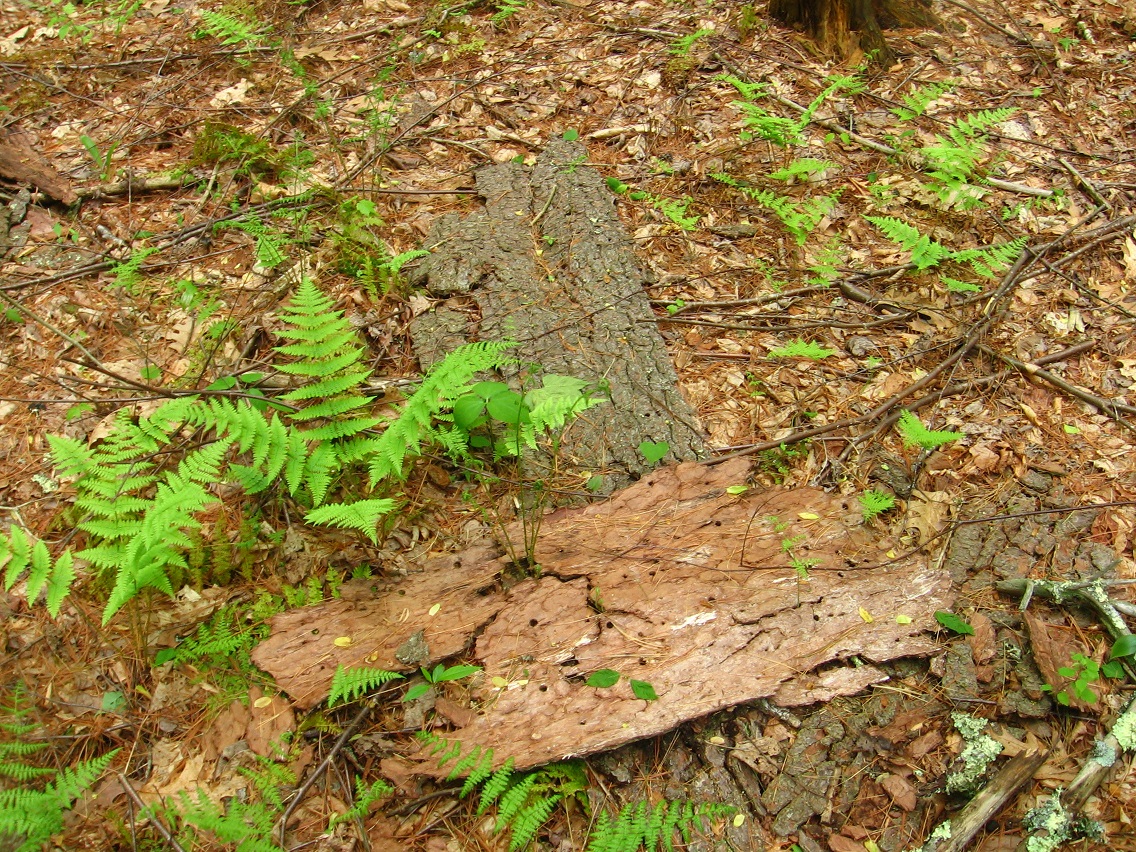
Native bark of the area with plants growing up through the cracks and breaks.

Snaggletooth Rock.

Remains of an old tree that look suspiciously like an alien holding some kind of wand or sceptre. Notice the illusion of the 2 bulging eyes.

_____
* more on Norris Brook can be find in the Baker Blinker Blog under this category.