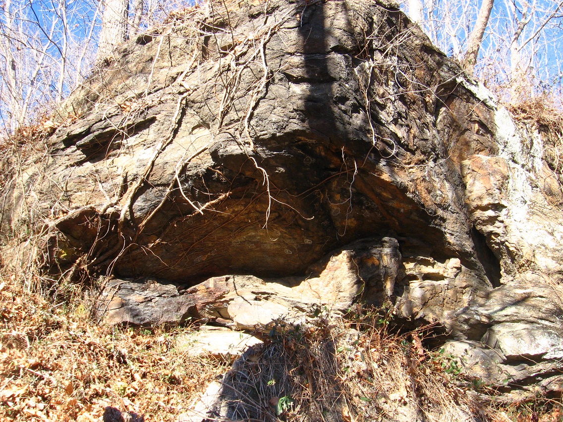
More spectacular and meaningful hikes in the Middletown/Ashville area last Saturday. Temperatures were near freezing when I got to A-ville around noon, but reached perhaps 40 in the afternoon. The first hike involved attempting to find a possible pond corresponding to the Bentmore base point of the A-ville pyramid (Bentmore-Future Home-Alexfin). I parked on The Way at place I thought would be about as close as possible to the pond, and also give me a quick, stealthy way into the open woods, which turned out to be quite passable and filled to the brim with these little white pine trees. Beautiful. After a couple of hundred yards going like this I ran into a system of what I recognized as equestrian trails that soon led me to the pond in question. It was larger and more tamed than expected, as seen in the below photos.

Great place to take a book and read (or notebook and write). But unfortunately it is on private land, which I feared roaming much. I think I could get away with being here, however, as long as I don’t fish or swim. 🙂 More details on that loophole soon. “The Bentmore Exception”?

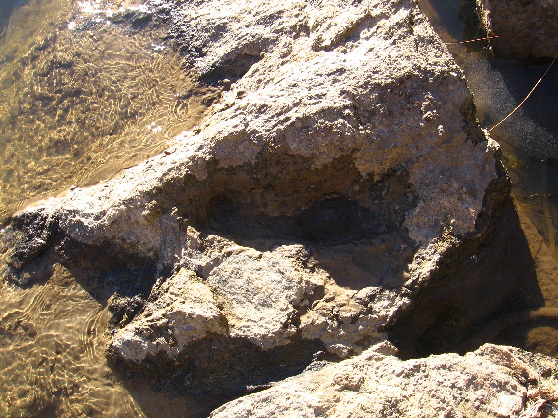
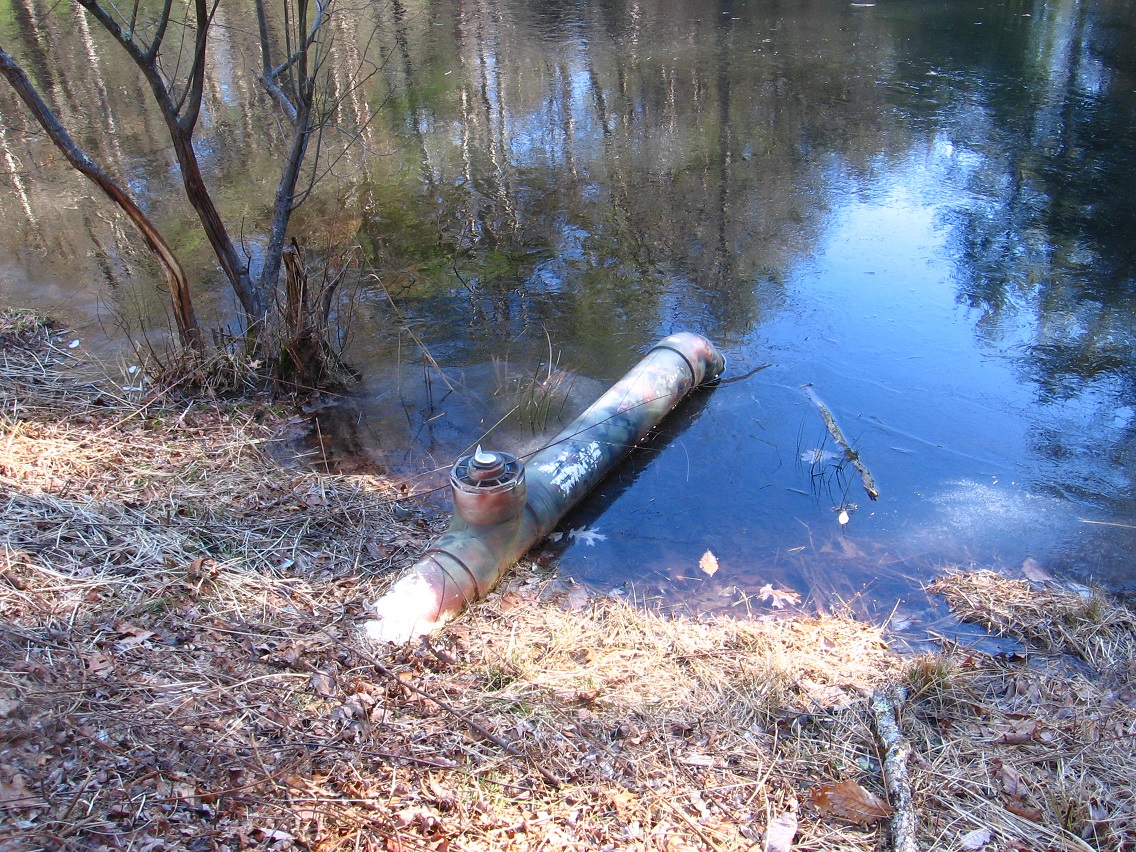
Camouflaged pvc pipe outlet for the pond. Nice touch.

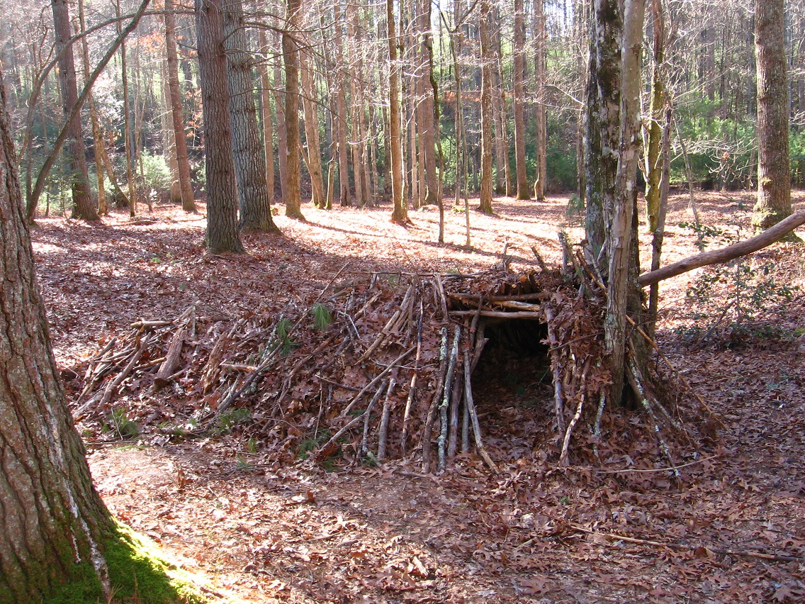
Looks like I might not be the only one practicing the Bentmore Exception in past/present/future. Looks like a pretty well constructed and perhaps recently or even presently used stick hooch to me. I was slightly worried I’d run into this possible woods dweller when exploring the pond area. I was more worried about running into the people who worked for the people who owned the land, however. No one spotted in either case. It was a pretty cold day, and off season.

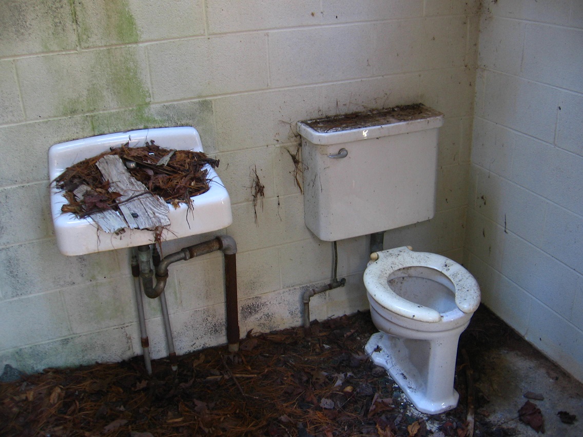
Another interesting structure found nearby. This is a little downstream from the pond, in another open area. Turns out to be an old bathroom. It made me wonder if the pond was more popular destination in the past, perhaps before a blocking interstate had been constructed to its west and the dammed site was easier to reach.


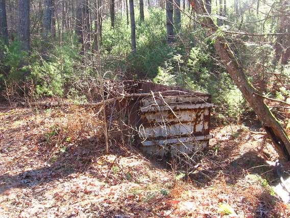
Another nearby structure. Looks like a large trash container, perhaps, now empty and rusting.
I attempted to reach Central River by continuing to follow the stream leading into and from the Bentmore pond down the hill. I decided to turn around at a no trespassing sign that had a pretty detailed warning. I had found enough in this area for now. Food for thought fer sure!

My second hike this sunny but cold day involving moving up the river about 10 miles to Alexfin, highlighted by the second base point of the Alexfin-Future Home-Bentmore pyramid. In this case, my destination wasn’t the actual point of the pyramid, a location inside an A-ville area prison and certainly off limits. Instead it represents a hypothetical but still quite logical spot, and I say this because the Alexfin and Bentmore points are located 8.68 miles from Future Home *and*, in addition to this, 5.57 miles from where Central River enters (Bentmore) and exits (Alexfin) Center County itself. One could put it this way: The pinpointed center of Alexfin is defined by the relationship with other pyramid attached spots of a more tangible nature.
I was extremely happy to find that the old way to the former Alexfin landfill area I had used in the past was still accessible. The central area of Alexfin is still relevant! Hopefully it will remain that way during at least some of our tenure in A-ville. Very valuable real estate we’re talking about here, and a lot of it. If the land is to remain somewhat pristine and undeveloped, I’ll have to have some help from the Gods that govern such things. Perhaps the meaning of the pyramid is primarily one of preservation, then. In contrast, even though the Bentmore pond (central point of Bentmore, in turn) is on private land, I’m confident that it will continued to remain in a natural state and not be butchered to make room for housing projects. Again, more on that aspect soon enough.
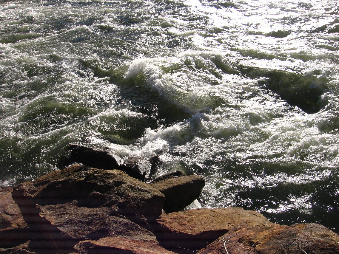
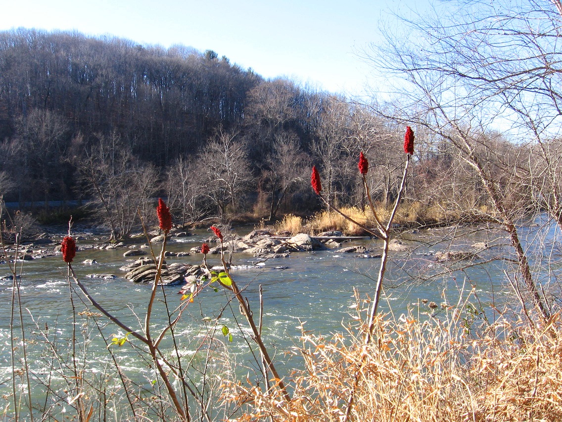
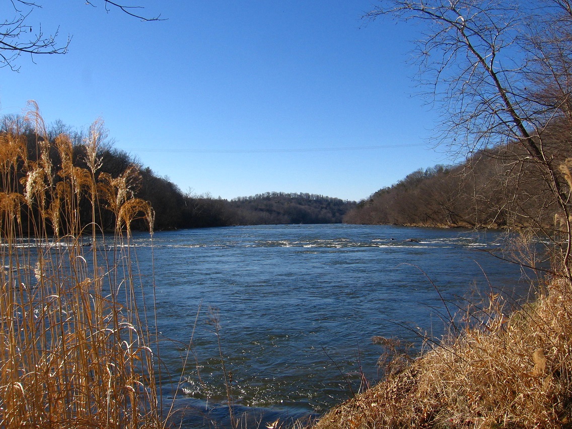
So to the pictures — below we have the amazing Center River (Centeriver) swiftly flowing north past rocky islets, with the bald plateau of the old A-ville landfill rising above the treeline in the background. We are looking into the heart of Alexfin.

I believe these are sumac berries.

Before passing to the south of the old dump, the river calms. We are drawing nearer to the Alexfin centerpoint, a place as I’ve stated we do not and in fact cannot visit.