Daily Archives: July 27, 2015

BM Urban Landscape 07/25/15 07

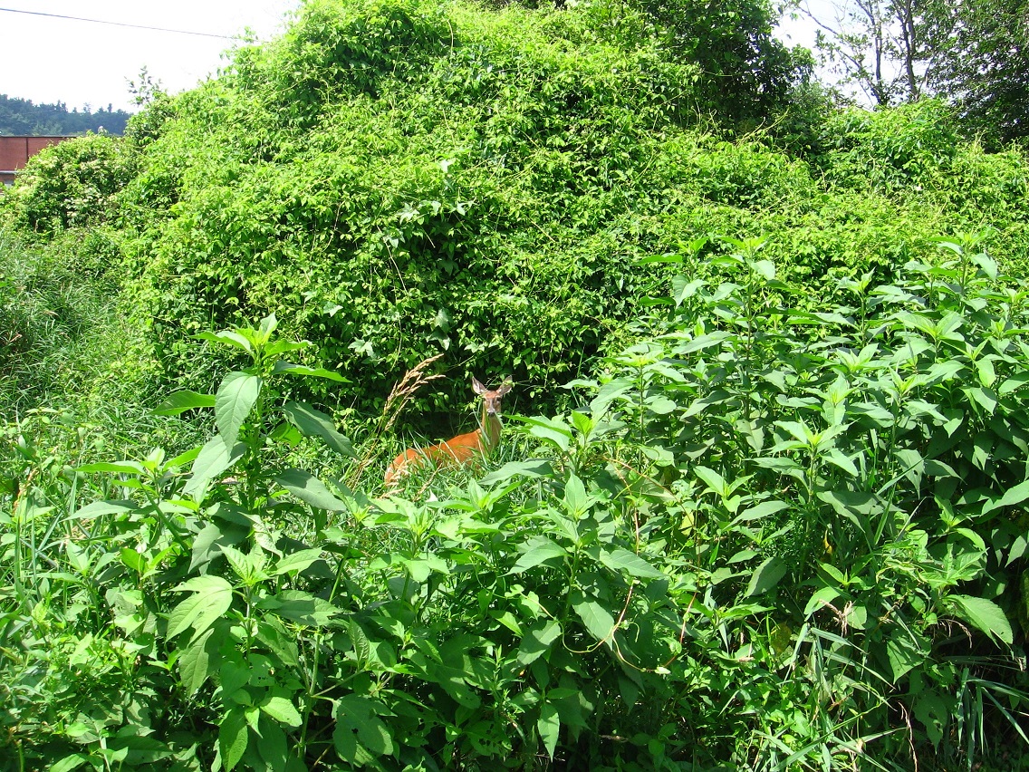
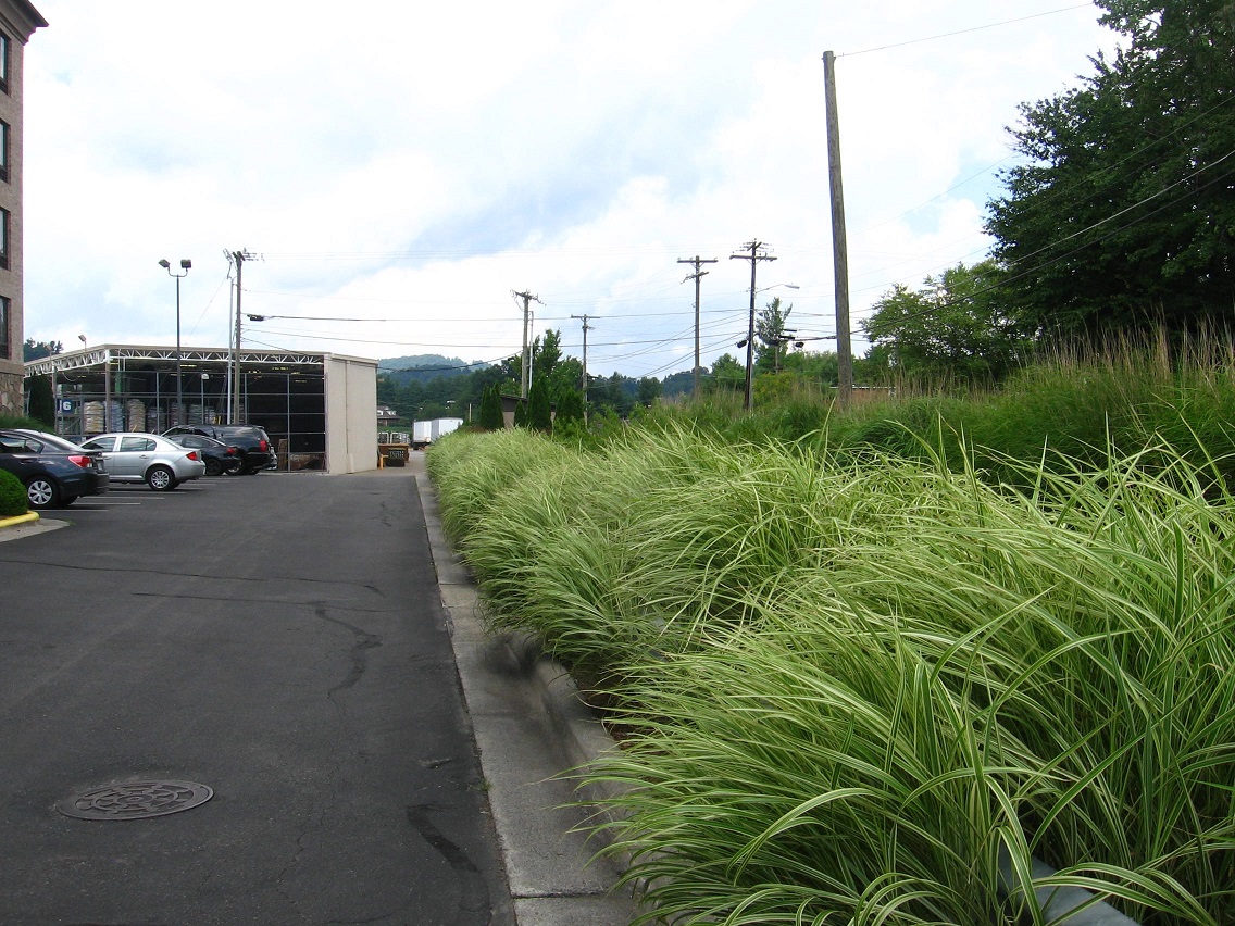
I’m going to head back into the Blue Mtn. Urban Landscape today for more picture taking and wanted to make sure I finished the texts for the related posts I had already created. So here goes!…

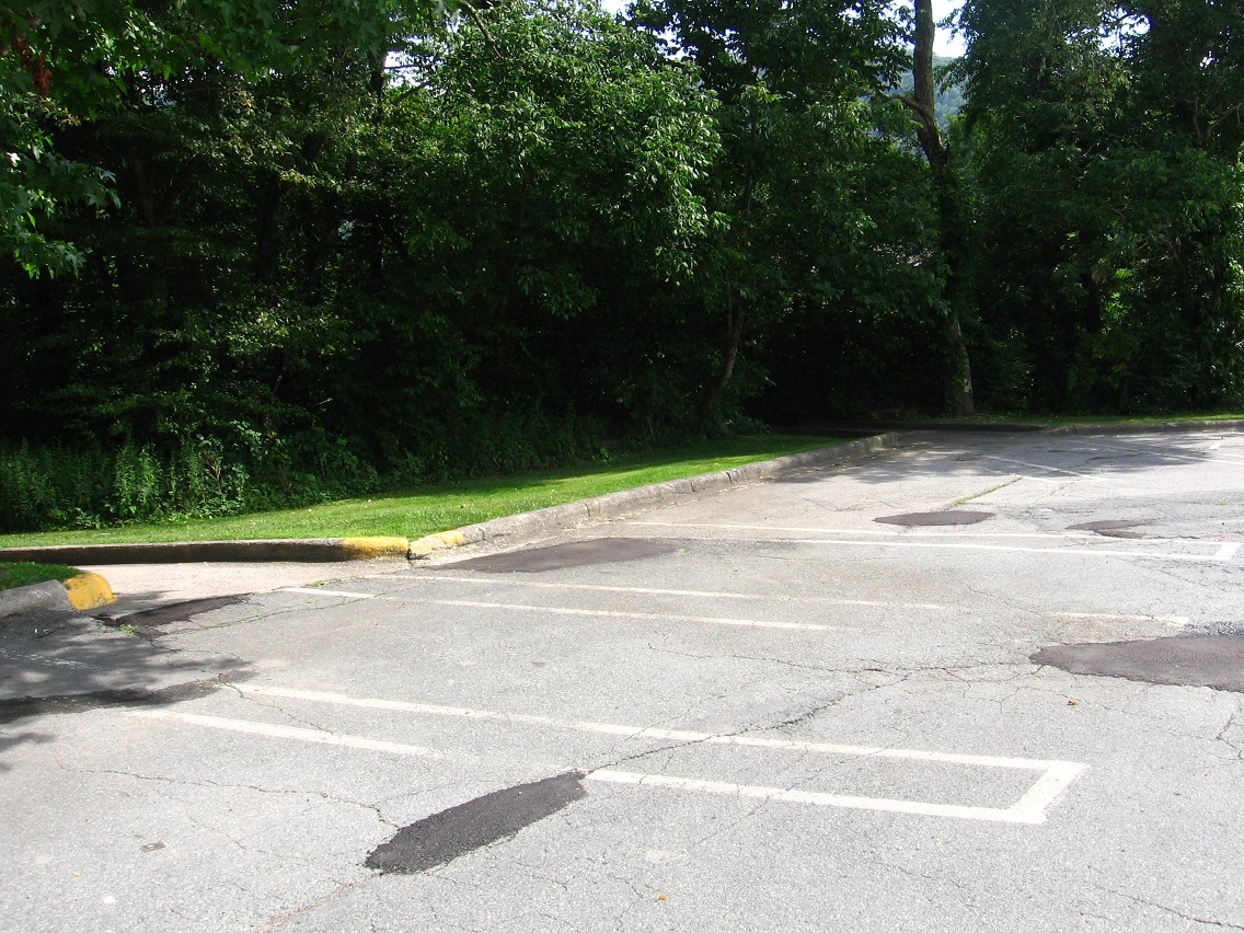
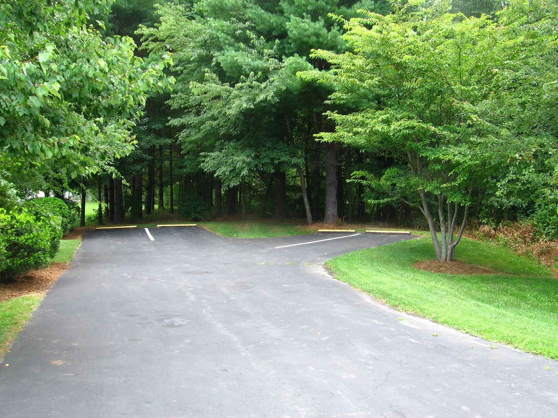
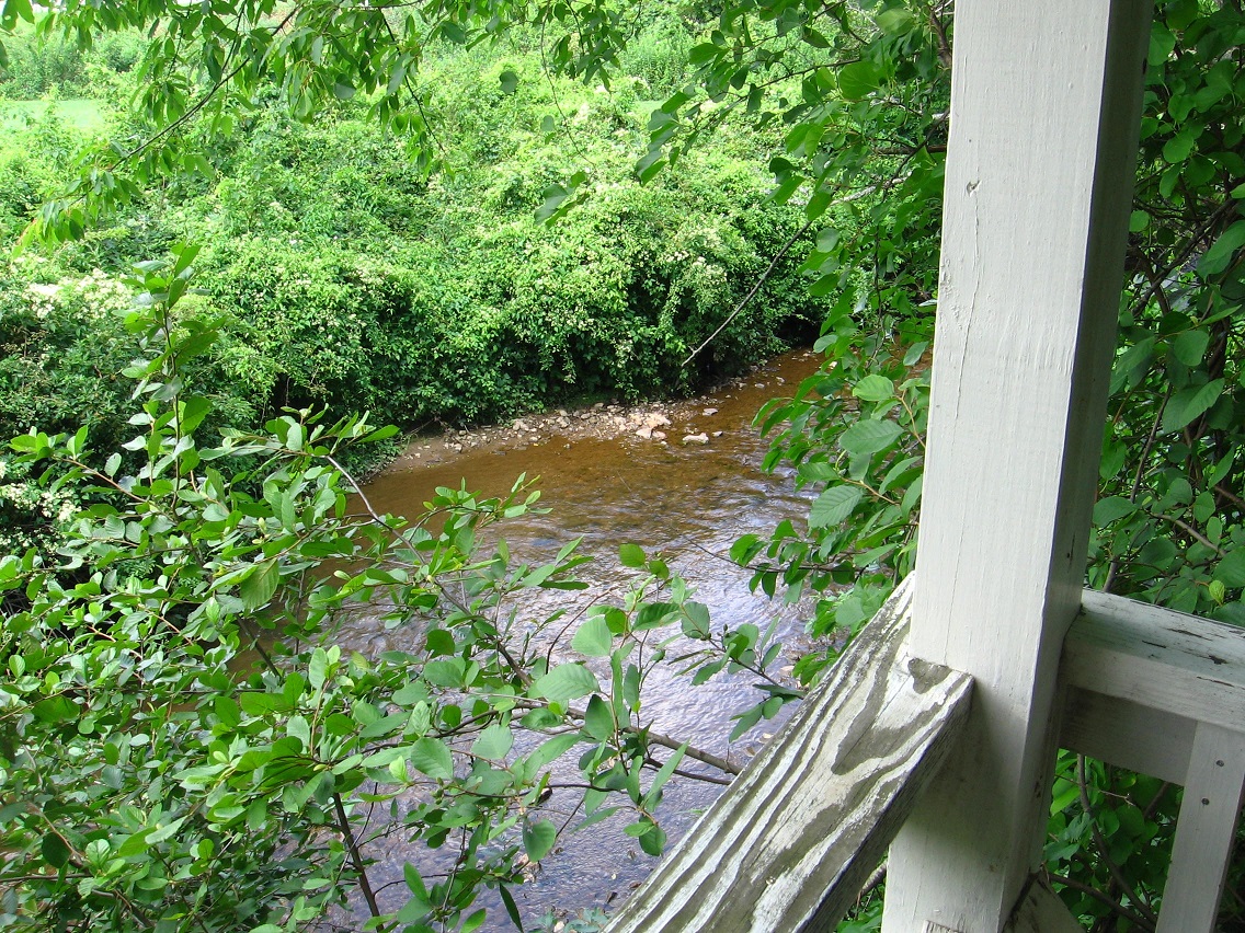
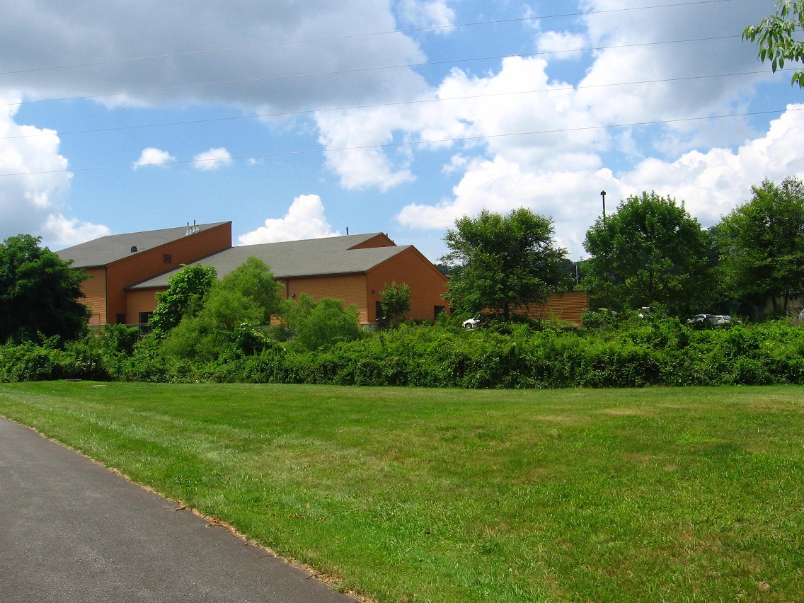
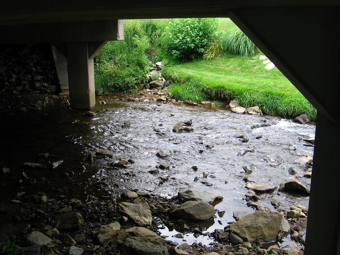
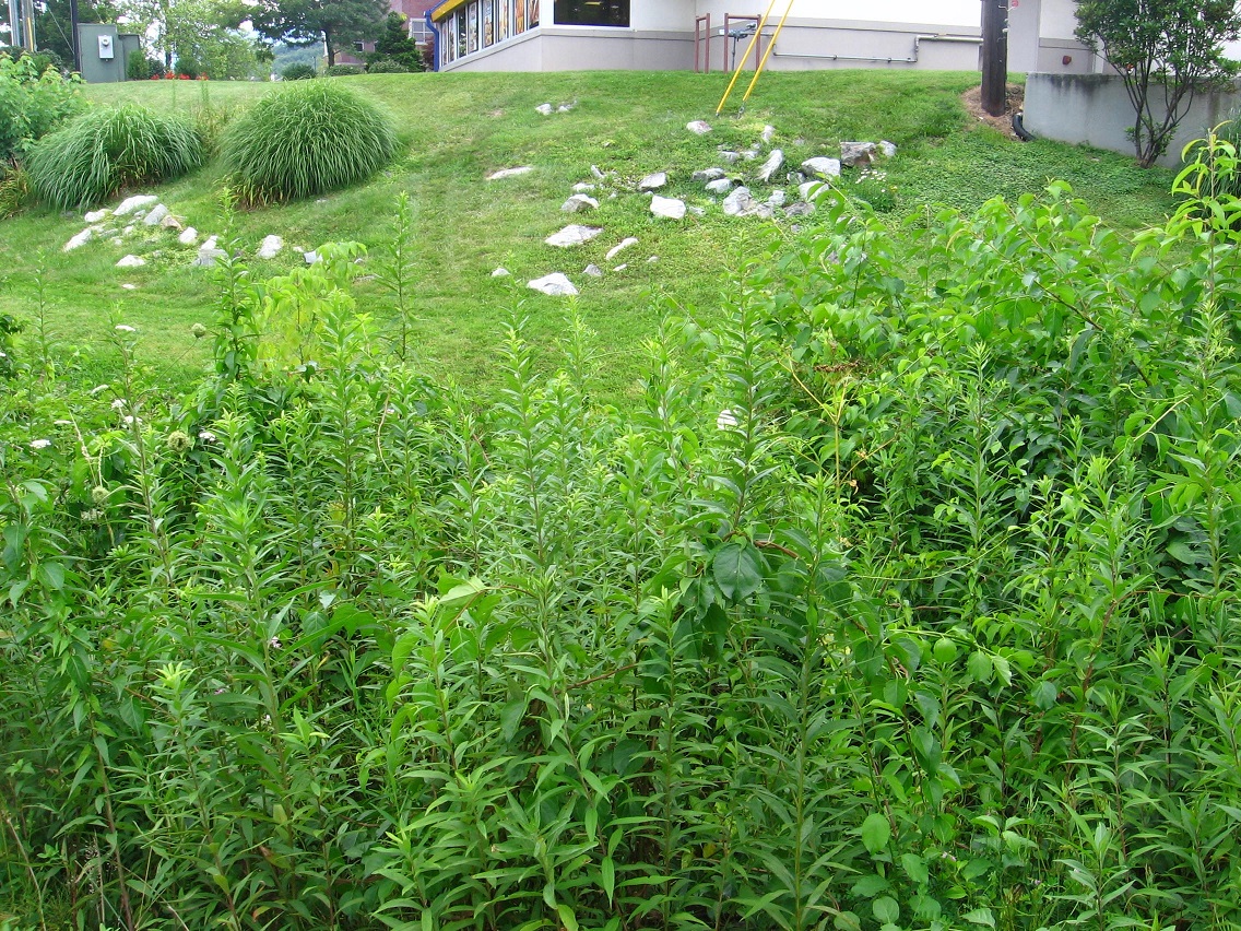
Actually all of the related photos remaining to be talked about from last week’s photo shoots are from a particular location on Leola Creek, reachable from behind the town mall. The Urban Landscape “trail” basically skirts the creek to the south and west of this mall. Two concrete drainage channels leading off from the back parking lot allow direct access to the two beachy areas involved.

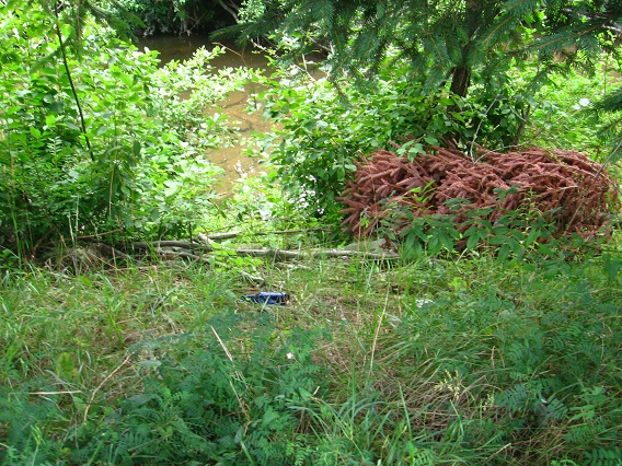
This is the first one, further west and and smaller.

IMG_0201smaller

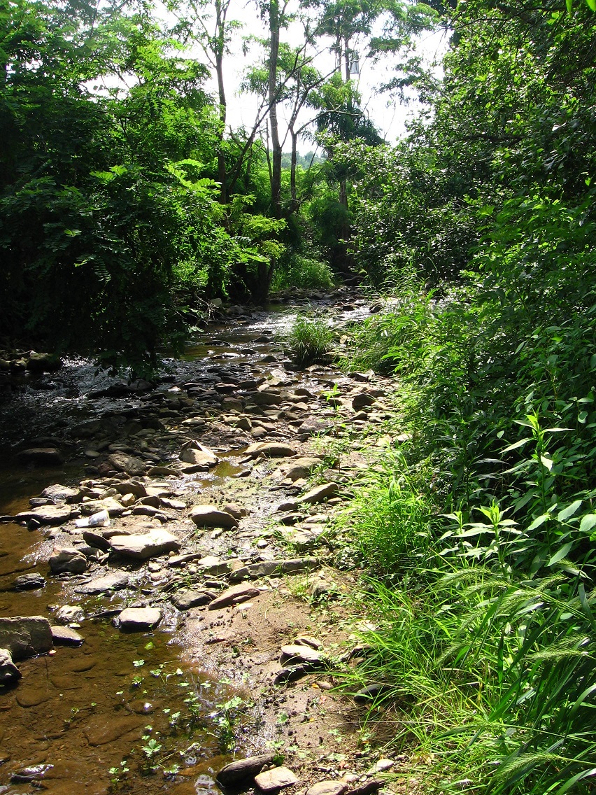
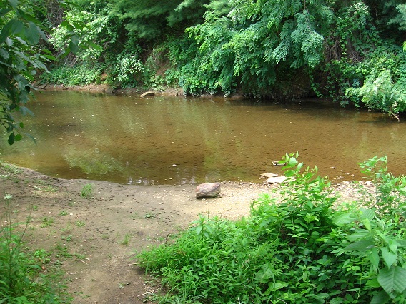
This is the second. Although I worked at this mall for about a 5 year period during the mid 80’s and explored a lot of the immediate area, I don’t recall this rather large rocky beach. Perhaps it has formed in the meantime. Anyway, the discovery of it this past weekend was quite the pleasant surprise. I immediately felt it to be another psychic center of the BMUL.

IMG_0203smaller

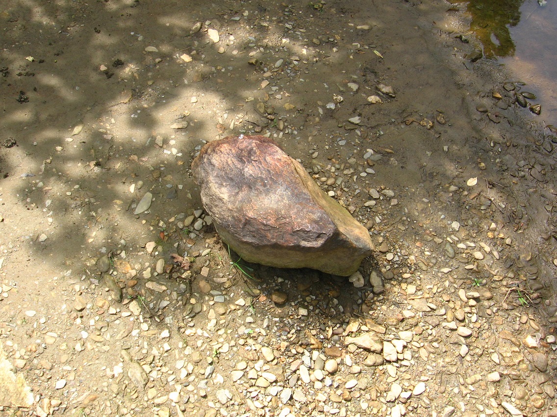
A quite mysterious large sphere is firmed lodged in the creekbed here. I’ll attempt to take a better picture of the object this weekend.

IMG_0207smallest

Looking west toward the first beach pictured above.

IMG_0209smaller

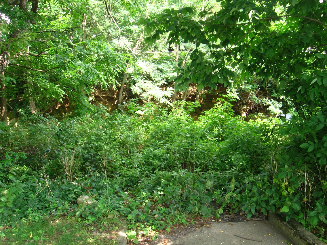
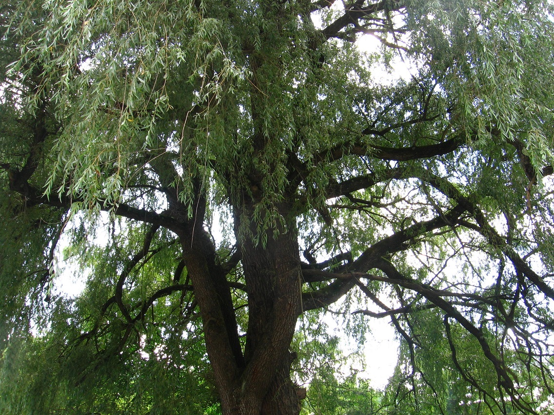
I forgot to include a photo I had of the quite interesting cliff region across the water from the rocky beach, but that’s okay. I’ll take more pictures this weekend, like I said.

IMG_0210smaller

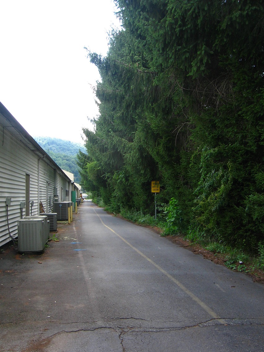
To the left in the below photo is the second drainage channel, counting from west to east. And at about a 45 degree angle relative to it is the first and matching channel to the right.

One additional note for now: Although you can reach second beach from first beach along the creek, it is not an altogether easy walk through some weeds.

IMG_0211smaller

07/26/15:

Now last Sunday’s pictures.

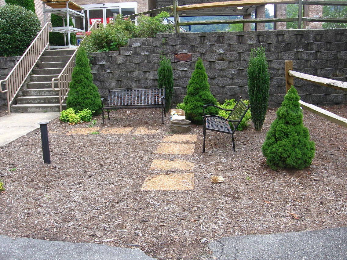
It was hotter than the previous day, and I didn’t take nearly as many snapshots of the BMUL. However, I did get this neat photo from the public garden area near its center: 3 closely placed benches forming an equilateral triangle. More geometry to think about (!).

IMG_0020smaller

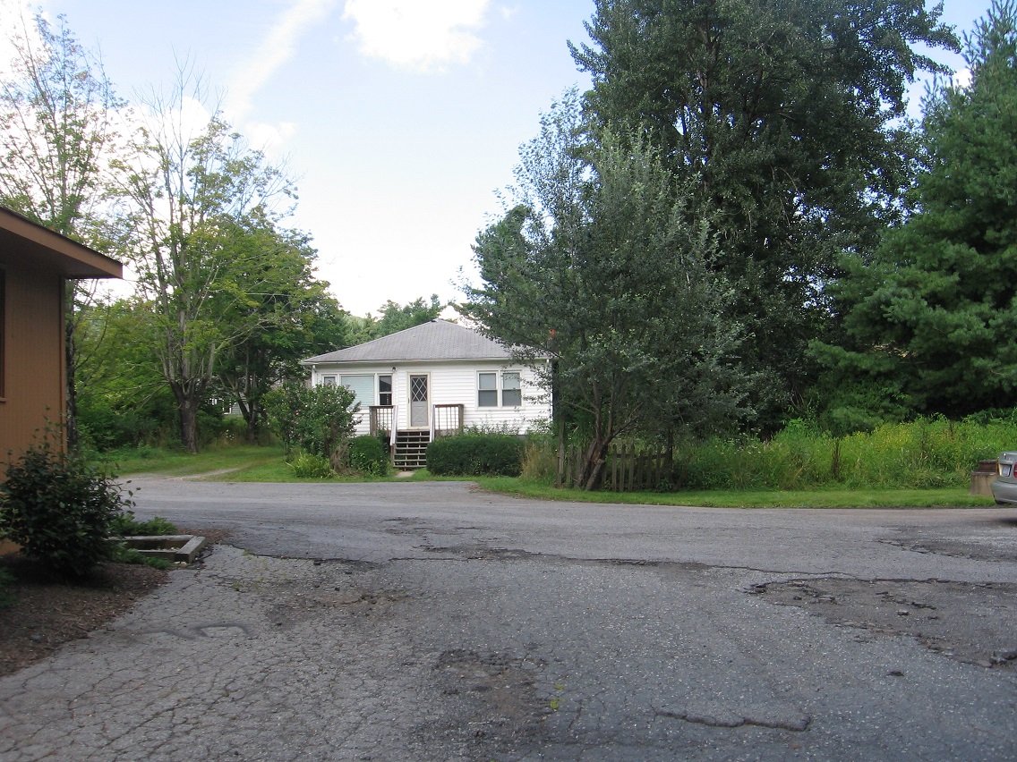
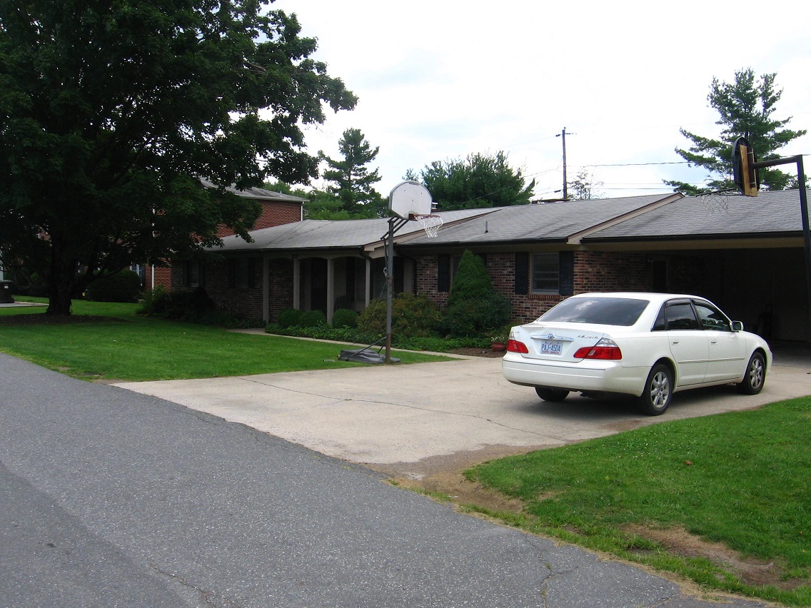
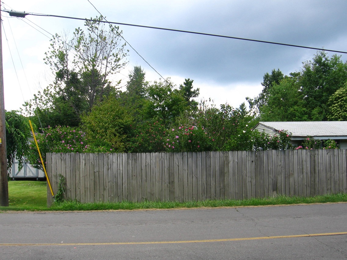
And I also got some decent pictures of neighboring ALO, as I’m calling it, including the first picture in this blog of the house I joked to wife Edna about that I wanted to buy there. Add in that the small unassuming structure is also just across the road from a 16 unit student housing building and you can perhaps understand Edna’s total lack of enthusiasm for my idea. But yes, to me it’s still a central place.

IMG_0026smaller

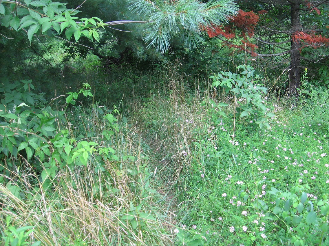
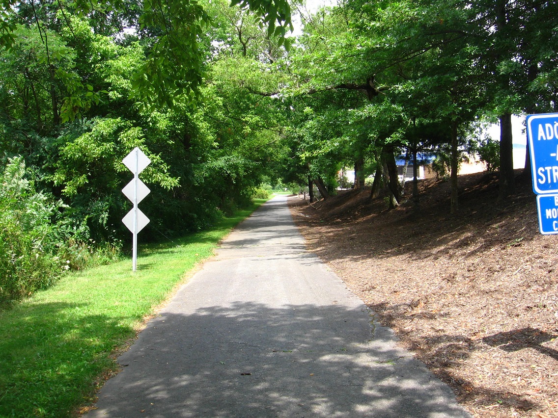
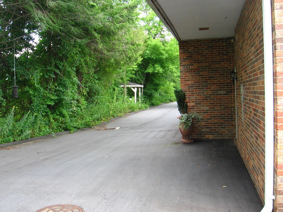
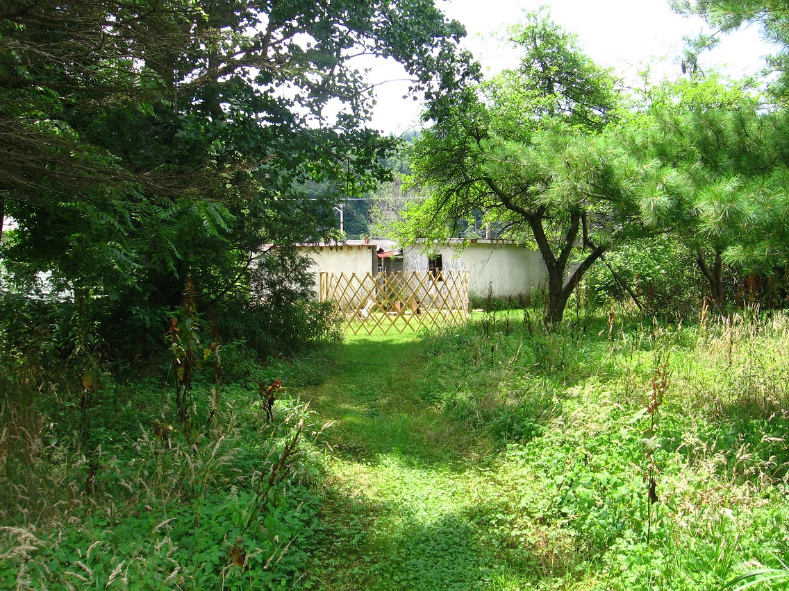
Although you probably can’t make it out, the entrance to the ALO shortcut path already talked several times before is in the vegetation to the right in the above photo. Or actually I think it would be just beyond the right side of that photo, or just to the north that white pine tree.

IMG_0027smaller

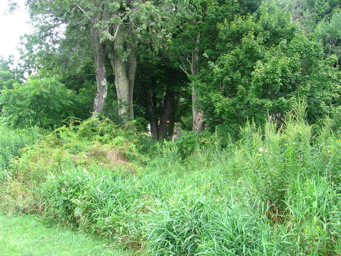
At any rate, here’s the path shortly after the beginning, white pine to left. The dead evergreen in both the above and below photo may be a failed attempt at replanting an old Christmas tree.

IMG_0028smaller

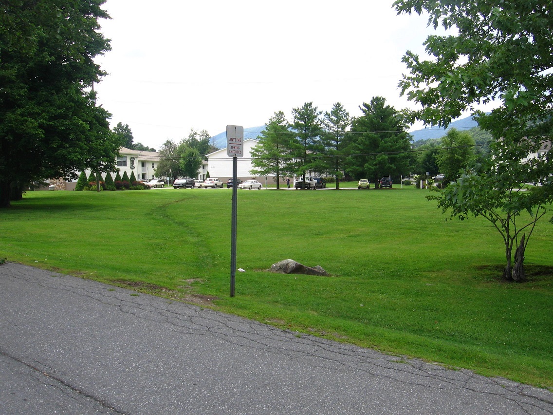
Center of ALO and also the ALO path. The mysterious wooden object seen before here has disappeared.

IMG_0029smaller

Leave a comment

Filed under Blue Mountain

BM Urban Landscape 07/25/15 06

Looking back at the western end of the ALO trail. A faint path, yes.

IMG_0171smaller

We now walk down Willard Street, departing from Leola Creek for a spell until nearing Point+1 on our BMUL map. LINK This meadow is a historic site along the way, once containing a basketball court where 3 men from a nearby cafeteria gathered together to pit wits and shots against each other. I was one of these men.

IMG_0174smaller

Willard Street is named for the Willard House, former home to another one of these men and not to be confused with George Willard from Sherwood Anderson’s Winesburg, Ohio. But sometimes one forgets.

The third man on our team was sometimes referred to as Col. Z. A handful might have called him Chuck, like in Charlie Brown of Peanuts fame. He wore brown a lot, true. He was also known as a Zapper, a basketball term.

IMG_0177smaller

Willard Street merges into the main road through the area after rounding a curve, but it is at this curve we instead depart from the pavement and keep heading straight toward more commercial buildings, one of which houses the office of my dentist of 20 years. I call this interesting grassy pool behind his office Canine Pool, named not for dogs but teeth.

A stubbier matching depression around the corner becomes Molar Pool (not pictured), currently dry.

IMG_0180smaller

IMG_0181smaller

We then pass a commercial storage company, with this mysterious fallen pillar crushing some vegetation at the main gate. Remnants of a fallen Blue Mountain empire?

IMG_0184smaller

A cluster of rocks on the west edge of same I call the “Stonehenge” of the Blue Mtn. Urban Landscape, but that’s quite a stretch obviously. We’ll see what develops of it. It’s actually “mere” buttressing rocks around another culvert area.

IMG_0186smaller

This is part of the same drainage system. I don’t quite get why this system was designed so elaborately — almost Romanesque in flavor. Hmm.

IMG_0187smaller

We’ve reached Leola Creek and that perching 6 sided picnic table again in moving inextricably closer to Point+1, which draws us like a magnet.

IMG_0189smaller

Leave a comment

Filed under Blue Mountain

BM Urban Landscape 07/25/15 05

Up we go and out from under the Point-0 bridge centering the Blue Mtn. Urban Landscape. But this is a small hill, and we’ll still be trekking on basically level ground for the second part of our looped trail.

IMG_0139smaller

The paved trail continues to parallel Leola Creek as we travel past large hemlocks to our right, and with yet another commercial building full of shops and offices hemming us in on our left. This is one of my favorite parts of the journey. I feel safe here.

IMG_0140smallest

IMG_0141smaller

You can peer through breaks in the wall of hemlocks at a car wash across the creek. I caught this guy sitting on a fence with his back to me, looking at another working much harder in removing car filth and such.

IMG_0143smaller

The official trail terminates with the simultaneous end of the hemlock row and commercial building, about 200 yards past the central bridge. From there we can cross a road the trail merges into and take a shortcut through the edge of a public garden space, still hiking parallel to Leola Creek. There’s even an access path to the creek off this side trail, the first such on our journey. Below is the small beach area you find at the creek…

IMG_0155smallest

… with a central reddish rock for viewing and contemplating. Nice.

IMG_0159smaller

Large willow encountered as we continue past the garden. Here we have several options. We can head back to the main road, a busier one leading to a local HugeMart, and take the first street to the right at the intersection — or we can take a *secret* trail through what I’m calling ALO and remain beside Leola Creek, cutting our distance in at least half to the same point, and also avoiding traffic congestion completely. The drawback: this *ALO* trail, while obviously used by others *at times*, seems to be on private land according to online real estate maps. It’s a pretty faint path as well, and I found a little poison ivy/oak to dodge along it. Nothing that can’t be successfully navigated without contact, however.

IMG_0163smaller

This time I decided to stick to the road. Here’s a nice array of colors from the same flower species (which one?) poking over a border fence.

IMG_0167smaller

Taking that right I mentioned before at the next intersection brings us to the place where we’d come out on the AOL path anyway, which is approximately the location of the interesting forked parking spaces seen below, tucked away from the main street in a white pine grove.

IMG_0169smaller

A water culvert on the same property. Directly behind it here is the road we take to reach the west end of the Blue Mtn. Urban Landscape, or Point+1 on our map.

IMG_0170smaller

Leave a comment

Filed under Blue Mountain

BM Urban Landscape 07/25/15 04

Graffiti found underneath the bridges at Point-1. It seems mysterious… meaningful in some manner.

IMG_0090smaller

I believe this blue hued glyph represents a lantern. Strangely, the rust colored mark beside it gives the appearance of a flame, or something like an erupting volcano perhaps. The amorphous blue spot above it to the left, likely a mistake made by the graffitist who painted the lantern, seems to counterbalance it in a hot-cool fashion. I think back to the joined red-blue tables here at Position+1 on the very opposite side of the Blue Mtn. Urban Landscape. Is there a direct synchromystic linkage going on here? Could very well be(!).

IMG_0091smaller

Vegetation bordering Leola Creek out past Point-1. We’re in the country now, and the number of walkers and bikers has significantly increased. Ugh. But it wasn’t too bad this day.

IMG_0098smaller

Shortly the trail forms a loop, the western part which follows Leola Creek to its mouth where it flows into another, larger creek, still unnamed as of this date.

IMG_0105smaller

Peering through trees toward the Leola Creek mouth. Bemusing orange light appears between tree trunks.

IMG_0114smaller

Wow, a deer right next to the trail (!). Just stared at me as I passed, and even allowed me to stop and take a picture without running away.

IMG_0116smaller

Back safe and sound inside the Blue Mtn. Urban Landscape now, having survived the trip into Hiker/Bikerland. I revisit the picnic table near Point-1, and refresh myself by staring down at the creek a bit.

IMG_0131smaller

Artificial plants in a window box in front of the building that this table lies behind. Red and blue (hot and cold) again.

IMG_0132smaller

Back at near the center of the Urban Landscape, where our first pictures were taken in this series. “Bridge violators will be arrested for… thanken”?

IMG_0136smaller

Trail just west of the central bridge.

IMG_0137smaller

1 Comment

Filed under Blue Mountain

BM Urban Landscape 07/25/15 03

We’re back on the main trail, continuing to head east.

IMG_0078smaller

It’s not really a trail past the wetland but more a bike lane connecting two parts of the trail. I was mildly disappointed that the tar squiggles on the road here didn’t show up on GoogleEarth for further scrutiny. The wife commented favorably on them too when she walked this part of the Urban Landscape with me weekend before last.

IMG_0079smaller

Good deed for the day: I removed this nail from the road and deposited it in a handy nearby dumpster.

IMG_0080smaller

A toothbrush was laying on the ground next to the dumpster.

IMG_0081smaller

We take a little side trek here to keep following Leola Creek north and west behind yet another commercial building. I captured the flight of a crow above the rooftop of the neighboring building.

IMG_0083smaller

Rounding the corner, we spot the entrance to yet another Urban Landscape “picnic area”.

IMG_0084smaller

Interesting nearby door. Entrance to a parallel dimension? (probably not)

IMG_0085smaller

I see this place overlooking Leola Creek, close to Point -1 on our map, as perhaps a balance to similar tables positioned around Point +1 on the other side of the BMUL, or the 6 sided table and the conjoined red and blue tables featured in this earlier post, and which are both found next to Leola Creek in that westward position.

IMG_0087smaller

This confluence of bridges, walking and driving, probably represents the actual position of Point-1 at the eastern tip of our Blue Mtn. Urban Landscape. But this day I decided to follow the official trail further, out in the country a bit.

IMG_0088smaller

1 Comment

Filed under Blue Mountain

BM Urban Landscape 07/25/15 02

We temporarily exit the greenway system past the wetlands and bridge pictured before, heading up a side road instead leading to the main highway of the Blue Mountain commercial strip. In the below picture we look up a side road off this side road toward a community hospital. The hospital is not directly on our Urban Landscape beat, however. Not yet anyway.

IMG_0064smaller

About a 100 yards down the same road brings us to this ambulance service building with fronting, cattail dominated wetland, smaller in dimension than the one across the road just passed.

IMG_0065smaller

The main strip. We will only briefly travel beside it…

IMG_0066smaller

… quickly taking a turn into a Holiday Inn.

IMG_0067smaller

Behind this place, we can walk parallel to the side road just traveled, a marshy brook dividing us from it.

IMG_0068smaller

Soon we run across this picnic area also wedged between the two.

IMG_0071smaller

Looking from this area back up the stream. More cattails. My apologies for the overexposed background.

IMG_0074smallest

Then we use the Lowes Grocery Store backlot from here to connect with the Leola Creek paved trail again, emerging from the border bushes near the rusty bridge beside the larger wetland we saw before.

IMG_0075smaller

More interesting objects found behind Lowes. Trinkets of the urban landscape.

IMG_0076smaller

IMG_0077smaller

Leave a comment

Filed under Blue Mountain

BM Urban Landscape 07/25/15 01

In our more detailed tour of the Blue Mountain Urban Landscape, we appropriately start at point “0” according to this map. We are going to move in a general direction from “0” east to “-1”, and then back west through “0” to “+1”, then return. In other words we are doing a type of loop sort of centered around “0”, with extremities of “-1” and “+1”. Kind of.

The photo below starts us under the bridge at “0” It is against the law to loiter here so I moved on quickly after taking a couple of snapshots.

IMG_0032smaller

These rocks across Leola Creek give off a vague Wiltshire vibe in their sarsen-like appearance. Compare to stones from the later, for example, in collage 02 of 2013’s Latona series. There is a possibility that Master Shake could reappear here at Point Zero, inspired by the resonance.

IMG_0035smaller

Another version of a drink, wedged in the branches of a rhododendron. Empty. Appears to be too expensive of a beer for possible homeless bridge people. Are there such people?

IMG_0037smaller

From Point Zero halfway to Point -1, we walk along a registered paved trail, a type of greenway. But it isn’t as busy as some parts lying just north and west of the official Blue Mtn. Urban Landscape. Lying north and west of Point -1, in other words.

The below photo finds us peering through green vegetation toward the back of a restaurant on the other side of Leola Creek. Every time I’ve walked by here music has been pouring from the place — Latin music I believe. A bag lies in the branchs of a nearby bush. I’m scared to examine it closer.

IMG_0038smaller

Trail heading west. To the right exists a Lowes Grocery Store and its vast parking lot. To the left is vegetation bordering Leola Creek.

IMG_0039smaller

A defaced birch tree. NS, HC and CS should be ashamed of themselves.

IMG_0040smaller

A break area probably used by Lowes employees. It has been designed as a memorial to a man named Steve D., perhaps a past employee of some note. I’ll have to do more research on that.

IMG_0049smaller

Continuation of the wall westward. Lots of robins in the vicinity. Suppose I could call this Robin Wall or Robins’ Wall, then.

I’ve also found who Steve D. is. Former store manager. Native of Michigan.

IMG_0051smaller

Contrasting neighboring sewer covers. One grassy, one not.

IMG_0053smaller

Interesting wetlands next to a trail bridge.

IMG_0059smaller

1 Comment

Filed under Blue Mountain