We temporarily exit the greenway system past the wetlands and bridge pictured before, heading up a side road instead leading to the main highway of the Blue Mountain commercial strip. In the below picture we look up a side road off this side road toward a community hospital. The hospital is not directly on our Urban Landscape beat, however. Not yet anyway.

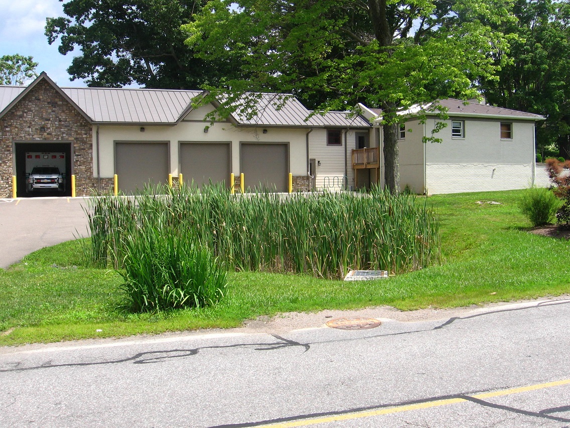
About a 100 yards down the same road brings us to this ambulance service building with fronting, cattail dominated wetland, smaller in dimension than the one across the road just passed.
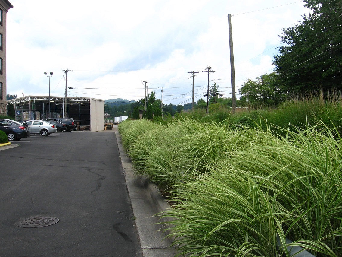
The main strip. We will only briefly travel beside it…

… quickly taking a turn into a Holiday Inn.

Behind this place, we can walk parallel to the side road just traveled, a marshy brook dividing us from it.
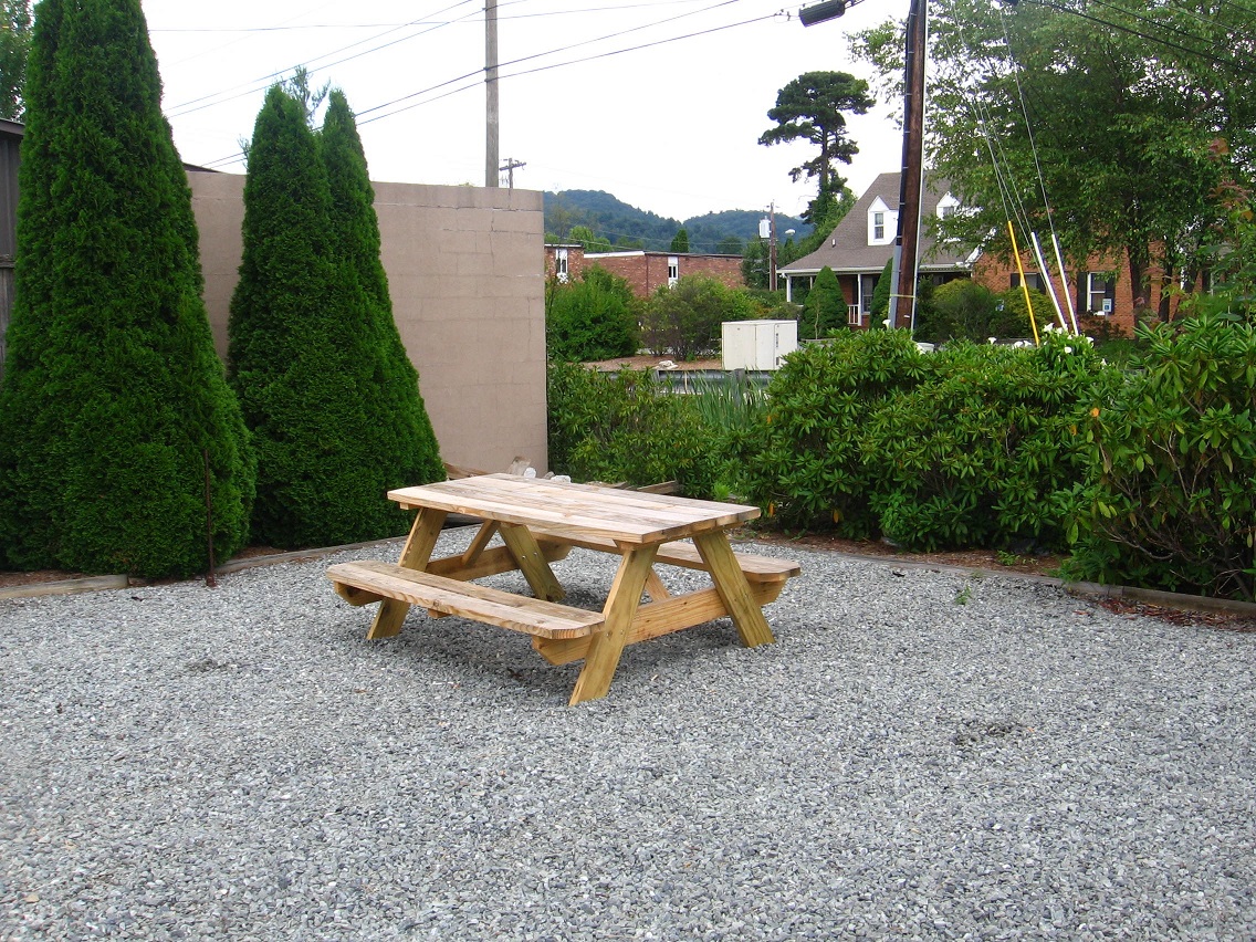
Soon we run across this picnic area also wedged between the two.
Looking from this area back up the stream. More cattails. My apologies for the overexposed background.

Then we use the Lowes Grocery Store backlot from here to connect with the Leola Creek paved trail again, emerging from the border bushes near the rusty bridge beside the larger wetland we saw before.

More interesting objects found behind Lowes. Trinkets of the urban landscape.