
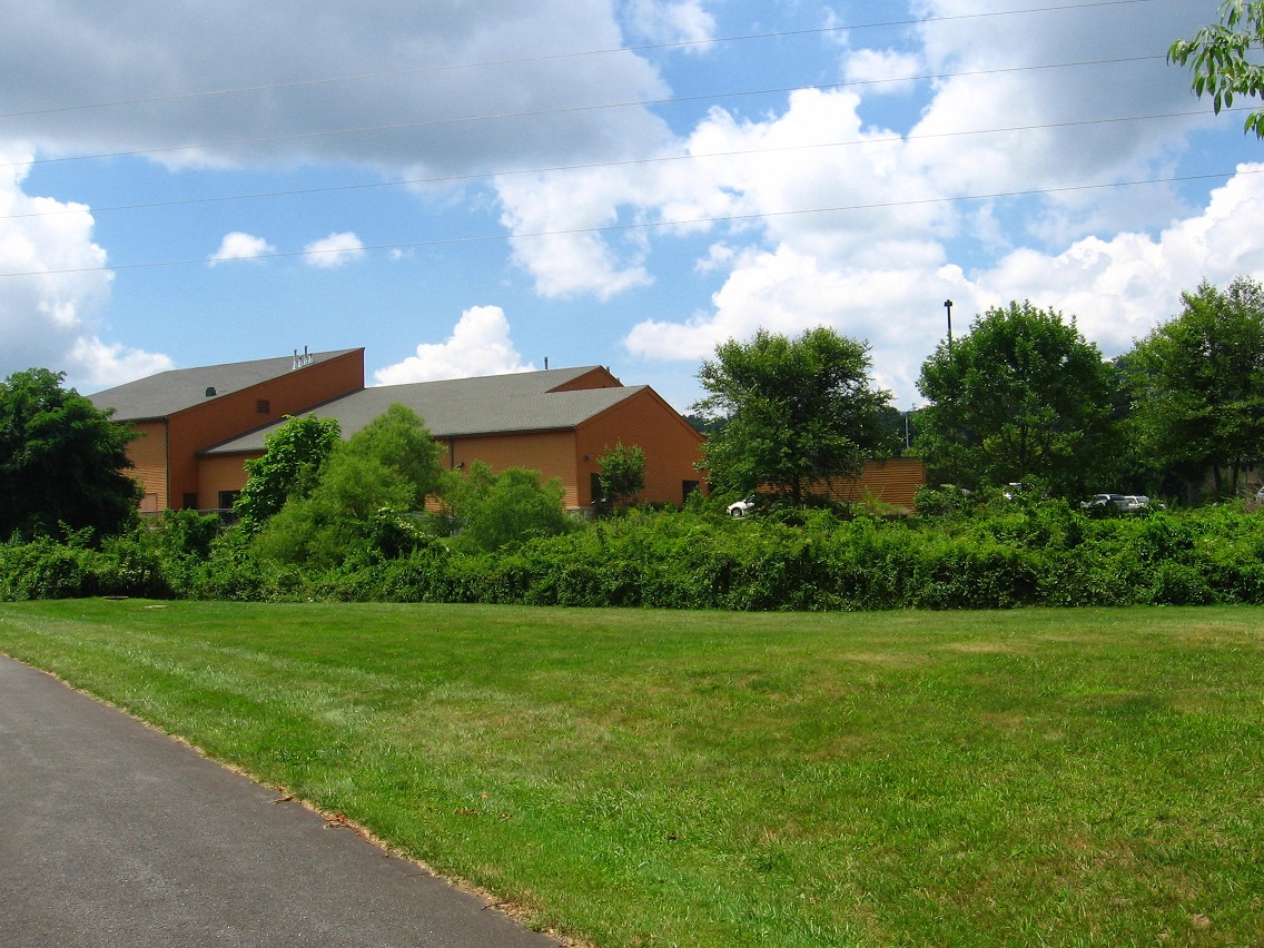
We’re back on the main trail, continuing to head east.
It’s not really a trail past the wetland but more a bike lane connecting two parts of the trail. I was mildly disappointed that the tar squiggles on the road here didn’t show up on GoogleEarth for further scrutiny. The wife commented favorably on them too when she walked this part of the Urban Landscape with me weekend before last.

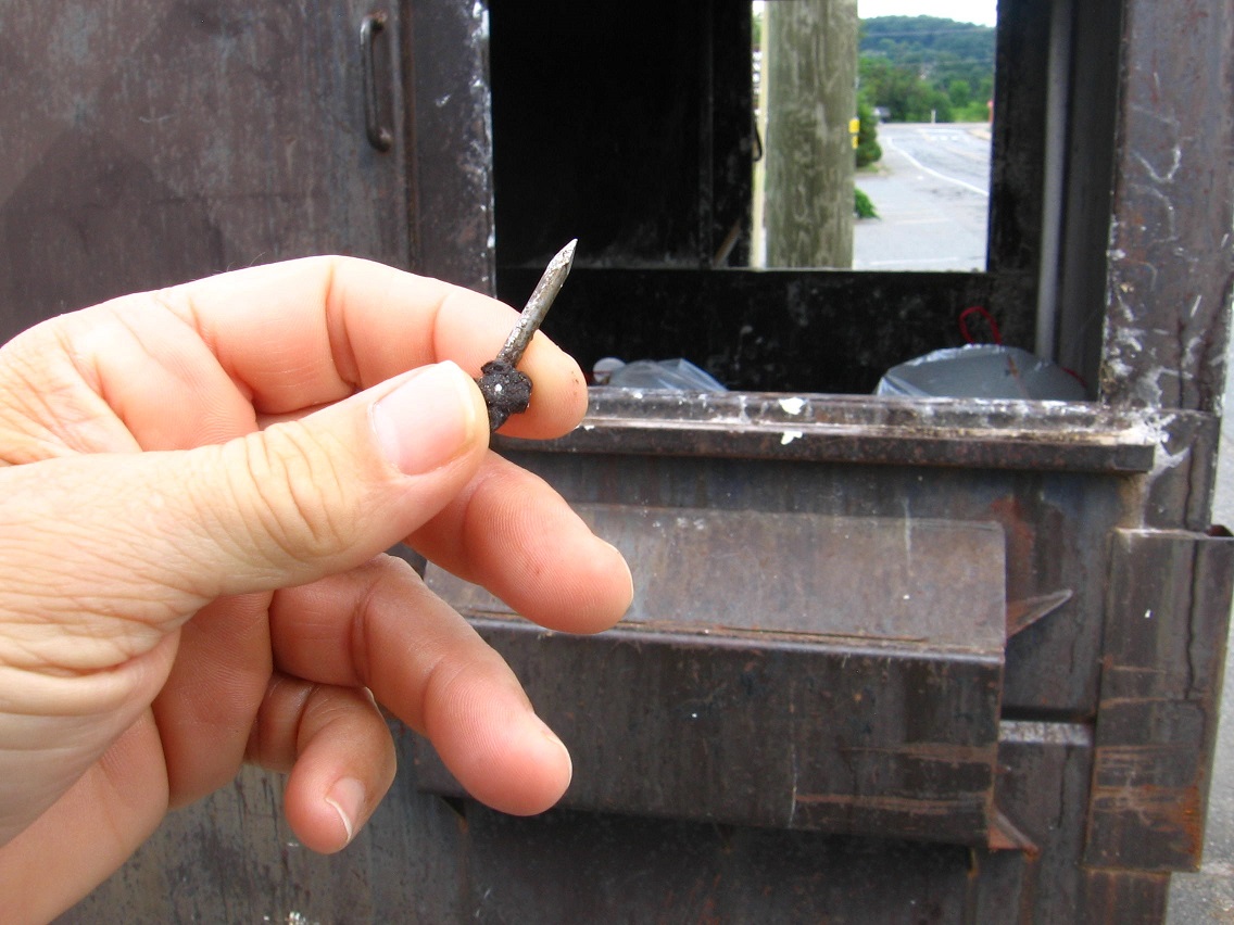
Good deed for the day: I removed this nail from the road and deposited it in a handy nearby dumpster.
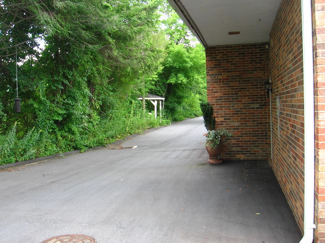
A toothbrush was laying on the ground next to the dumpster.

We take a little side trek here to keep following Leola Creek north and west behind yet another commercial building. I captured the flight of a crow above the rooftop of the neighboring building.

Rounding the corner, we spot the entrance to yet another Urban Landscape “picnic area”.
Interesting nearby door. Entrance to a parallel dimension? (probably not)

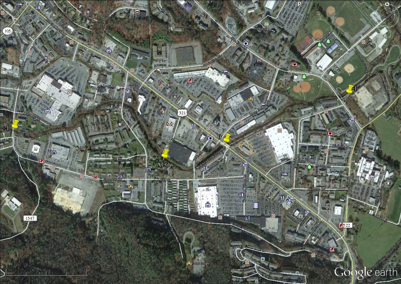
I see this place overlooking Leola Creek, close to Point -1 on our map, as perhaps a balance to similar tables positioned around Point +1 on the other side of the BMUL, or the 6 sided table and the conjoined red and blue tables featured in this earlier post, and which are both found next to Leola Creek in that westward position.

This confluence of bridges, walking and driving, probably represents the actual position of Point-1 at the eastern tip of our Blue Mtn. Urban Landscape. But this day I decided to follow the official trail further, out in the country a bit.


Pingback: BM Urban Landscape 07/31/15 01 | Sunklands