
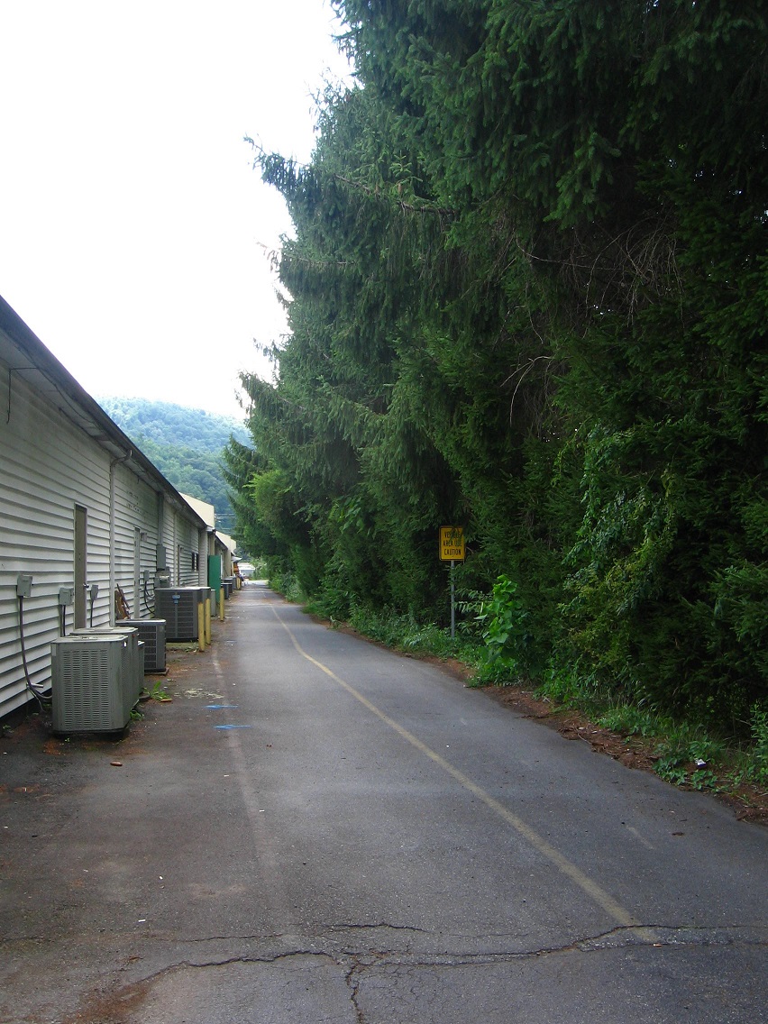
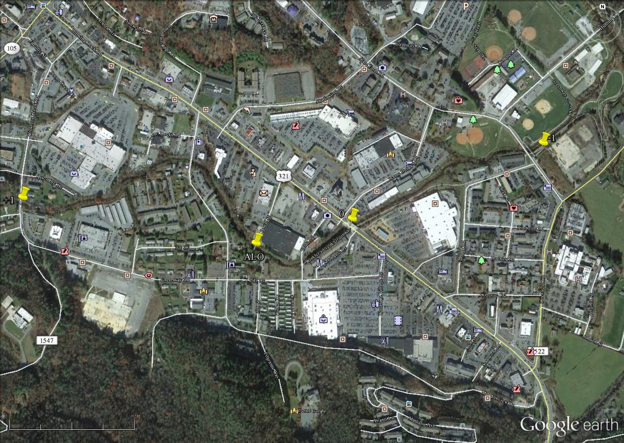
Up we go and out from under the Point-0 bridge centering the Blue Mtn. Urban Landscape. But this is a small hill, and we’ll still be trekking on basically level ground for the second part of our looped trail.

The paved trail continues to parallel Leola Creek as we travel past large hemlocks to our right, and with yet another commercial building full of shops and offices hemming us in on our left. This is one of my favorite parts of the journey. I feel safe here.
You can peer through breaks in the wall of hemlocks at a car wash across the creek. I caught this guy sitting on a fence with his back to me, looking at another working much harder in removing car filth and such.

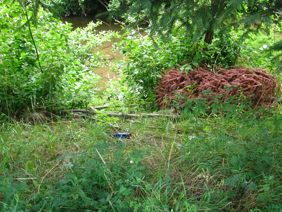
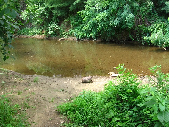
The official trail terminates with the simultaneous end of the hemlock row and commercial building, about 200 yards past the central bridge. From there we can cross a road the trail merges into and take a shortcut through the edge of a public garden space, still hiking parallel to Leola Creek. There’s even an access path to the creek off this side trail, the first such on our journey. Below is the small beach area you find at the creek…
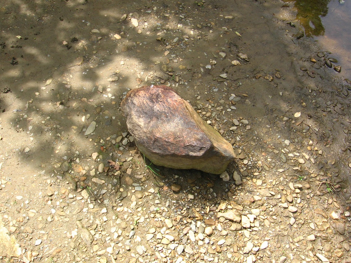
… with a central reddish rock for viewing and contemplating. Nice.
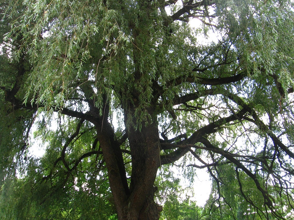
Large willow encountered as we continue past the garden. Here we have several options. We can head back to the main road, a busier one leading to a local HugeMart, and take the first street to the right at the intersection — or we can take a *secret* trail through what I’m calling ALO and remain beside Leola Creek, cutting our distance in at least half to the same point, and also avoiding traffic congestion completely. The drawback: this *ALO* trail, while obviously used by others *at times*, seems to be on private land according to online real estate maps. It’s a pretty faint path as well, and I found a little poison ivy/oak to dodge along it. Nothing that can’t be successfully navigated without contact, however.
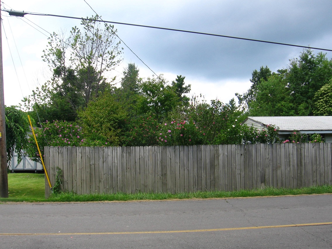
This time I decided to stick to the road. Here’s a nice array of colors from the same flower species (which one?) poking over a border fence.
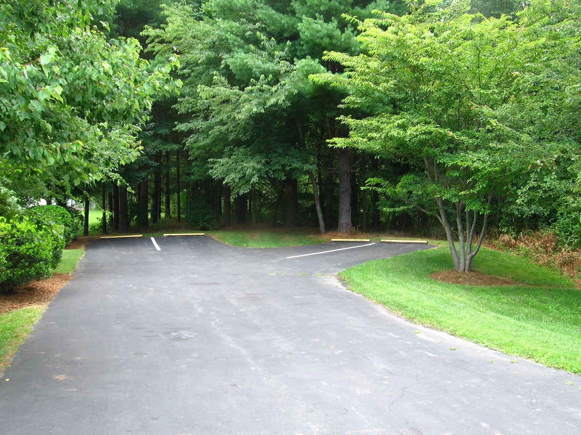
Taking that right I mentioned before at the next intersection brings us to the place where we’d come out on the AOL path anyway, which is approximately the location of the interesting forked parking spaces seen below, tucked away from the main street in a white pine grove.
A water culvert on the same property. Directly behind it here is the road we take to reach the west end of the Blue Mtn. Urban Landscape, or Point+1 on our map.

