
Looking back at the western end of the ALO trail. A faint path, yes.

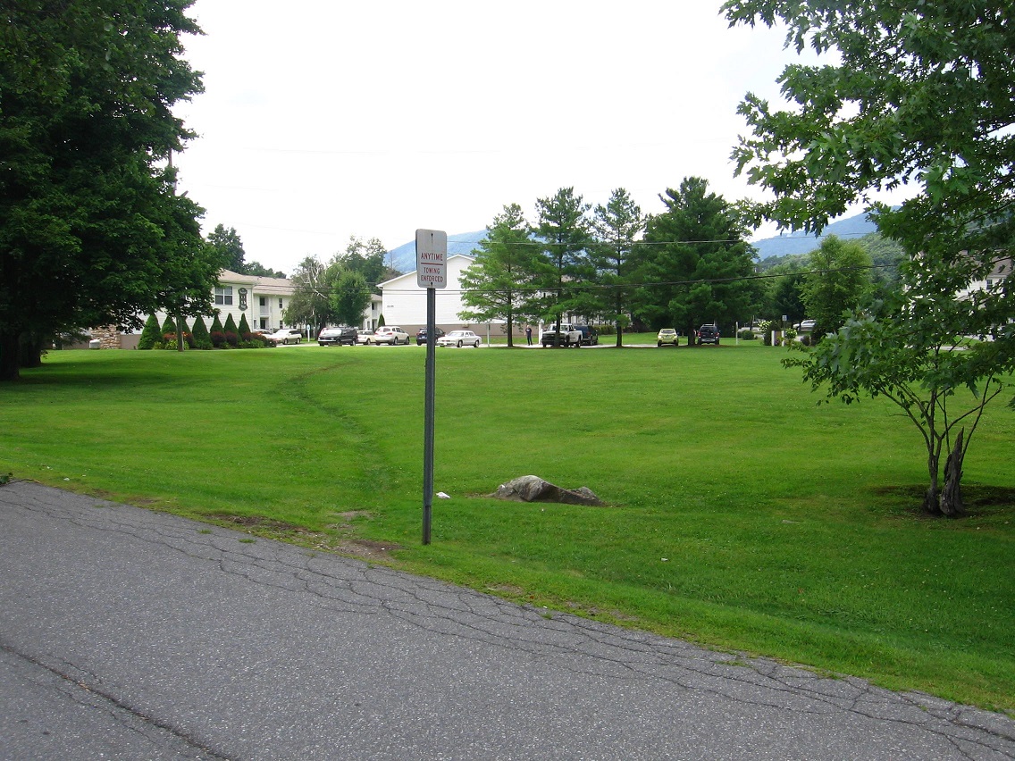
We now walk down Willard Street, departing from Leola Creek for a spell until nearing Point+1 on our BMUL map. LINK This meadow is a historic site along the way, once containing a basketball court where 3 men from a nearby cafeteria gathered together to pit wits and shots against each other. I was one of these men.
Willard Street is named for the Willard House, former home to another one of these men and not to be confused with George Willard from Sherwood Anderson’s Winesburg, Ohio. But sometimes one forgets.
The third man on our team was sometimes referred to as Col. Z. A handful might have called him Chuck, like in Charlie Brown of Peanuts fame. He wore brown a lot, true. He was also known as a Zapper, a basketball term.
Willard Street merges into the main road through the area after rounding a curve, but it is at this curve we instead depart from the pavement and keep heading straight toward more commercial buildings, one of which houses the office of my dentist of 20 years. I call this interesting grassy pool behind his office Canine Pool, named not for dogs but teeth.
A stubbier matching depression around the corner becomes Molar Pool (not pictured), currently dry.


We then pass a commercial storage company, with this mysterious fallen pillar crushing some vegetation at the main gate. Remnants of a fallen Blue Mountain empire?

A cluster of rocks on the west edge of same I call the “Stonehenge” of the Blue Mtn. Urban Landscape, but that’s quite a stretch obviously. We’ll see what develops of it. It’s actually “mere” buttressing rocks around another culvert area.

This is part of the same drainage system. I don’t quite get why this system was designed so elaborately — almost Romanesque in flavor. Hmm.

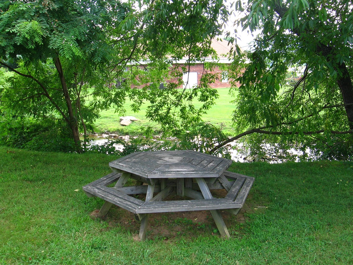
We’ve reached Leola Creek and that perching 6 sided picnic table again in moving inextricably closer to Point+1, which draws us like a magnet.
