“WIS”, pronounced like “wiz” (center center), is the 3rd, hidden element of the triangle whose 2 known points are Health [Lake] (right center) and Wealthy [Mtn.] (top center). We do not even know what kind of element WIS is presently. It is a black hole I believe Hucka D. wants to say here. WIS exists in the gap between Herman Park, seen as north in the above map, and Frank Park, south on the map. I am not unconvinced that Whitehead Crossing (SW of WIS) won’t be the main station for these parks in future times, as I move more out in the woods at retirement (8 years if all goes well; *I* will be the Whitehead in the Woods (!)). WIS is close to Whitehead Crossing but not the same. WIS is close to Wealthy Mtn. but not the same. Close to Health Lake but… not the same. It is in a gap in a map which does not logically make sense topographically but does psychologically. It is a hole that everything folds around, like flower petals.
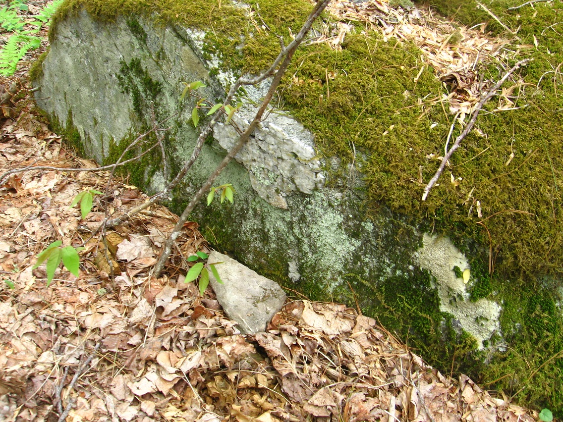
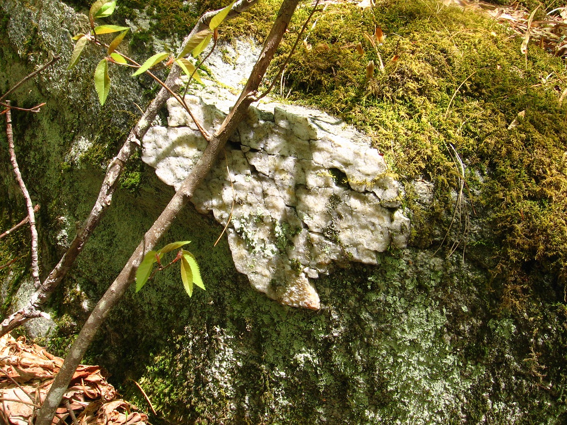
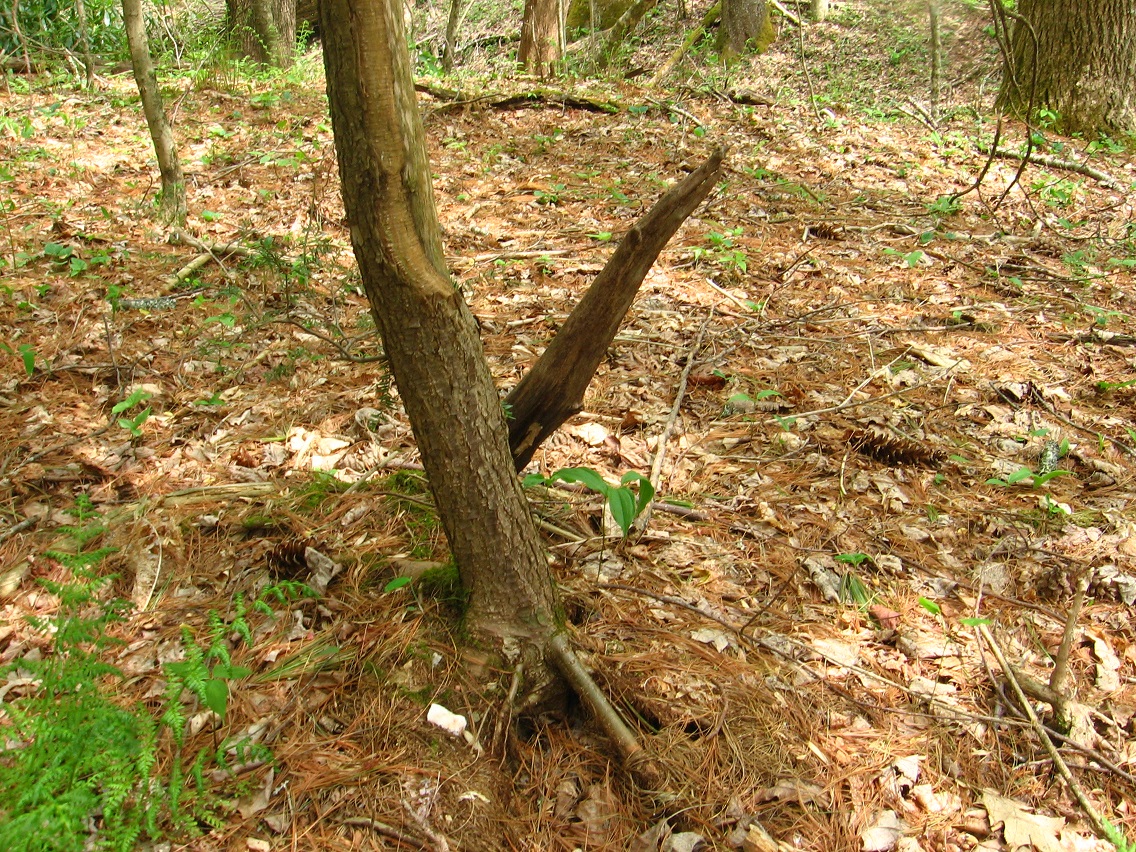
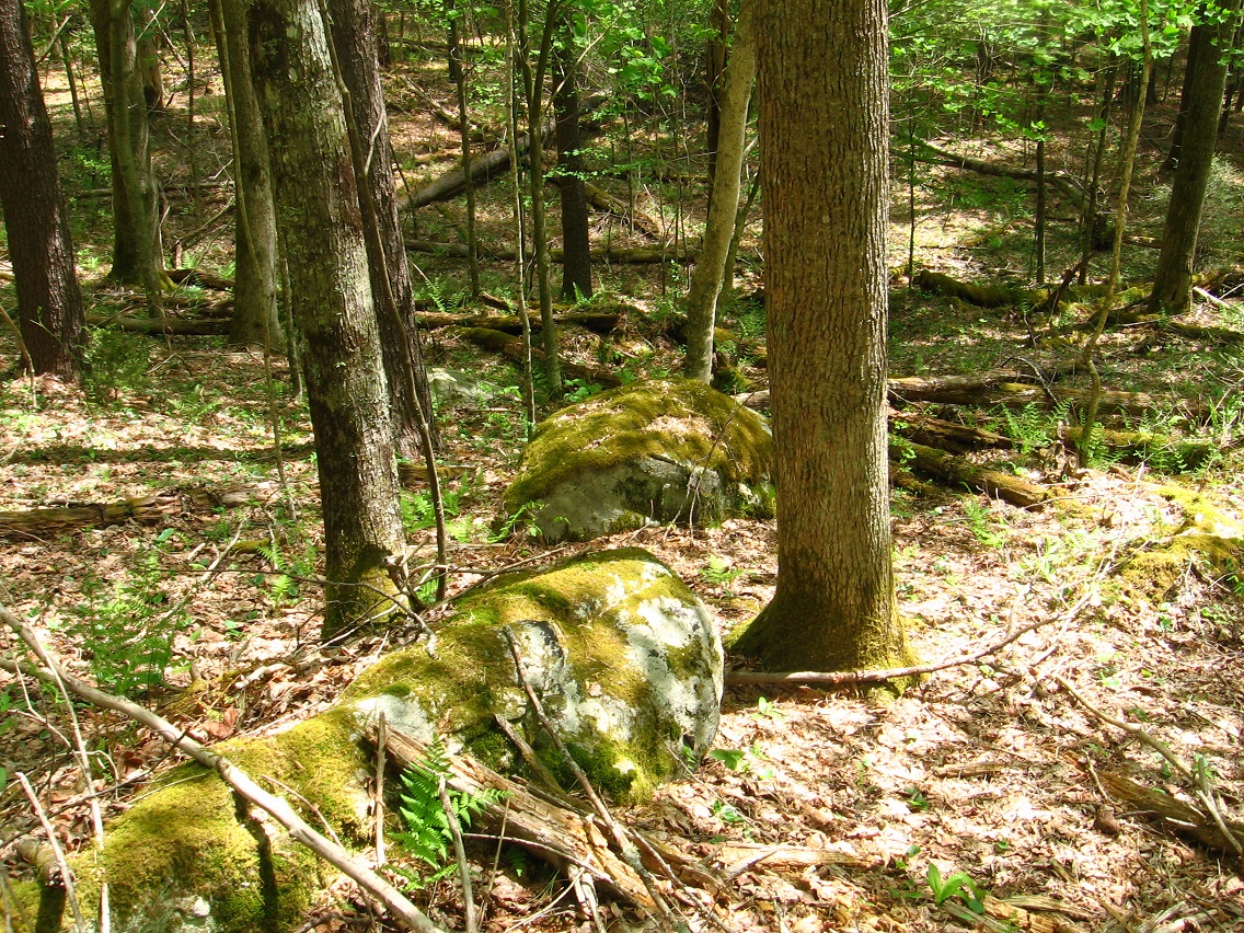
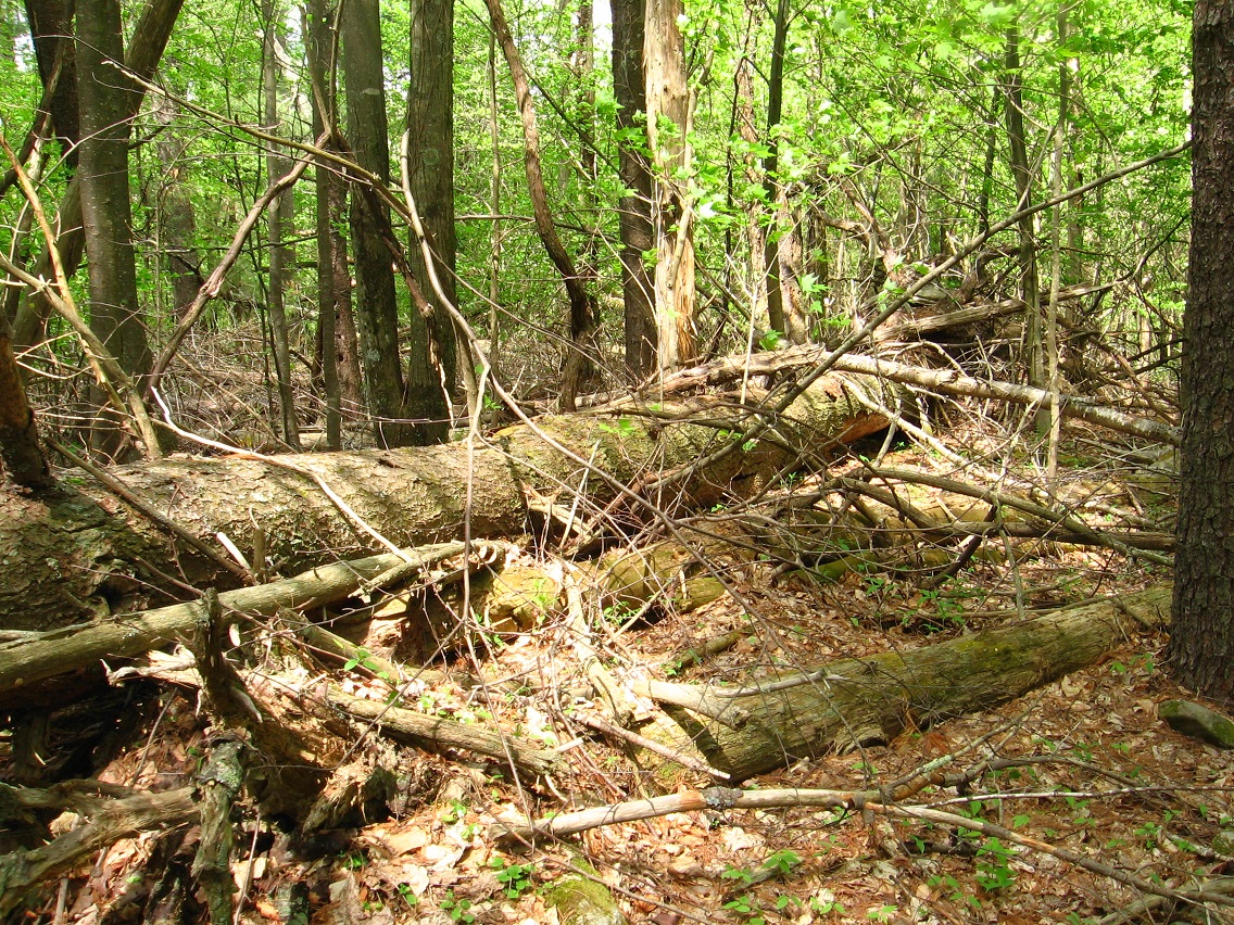
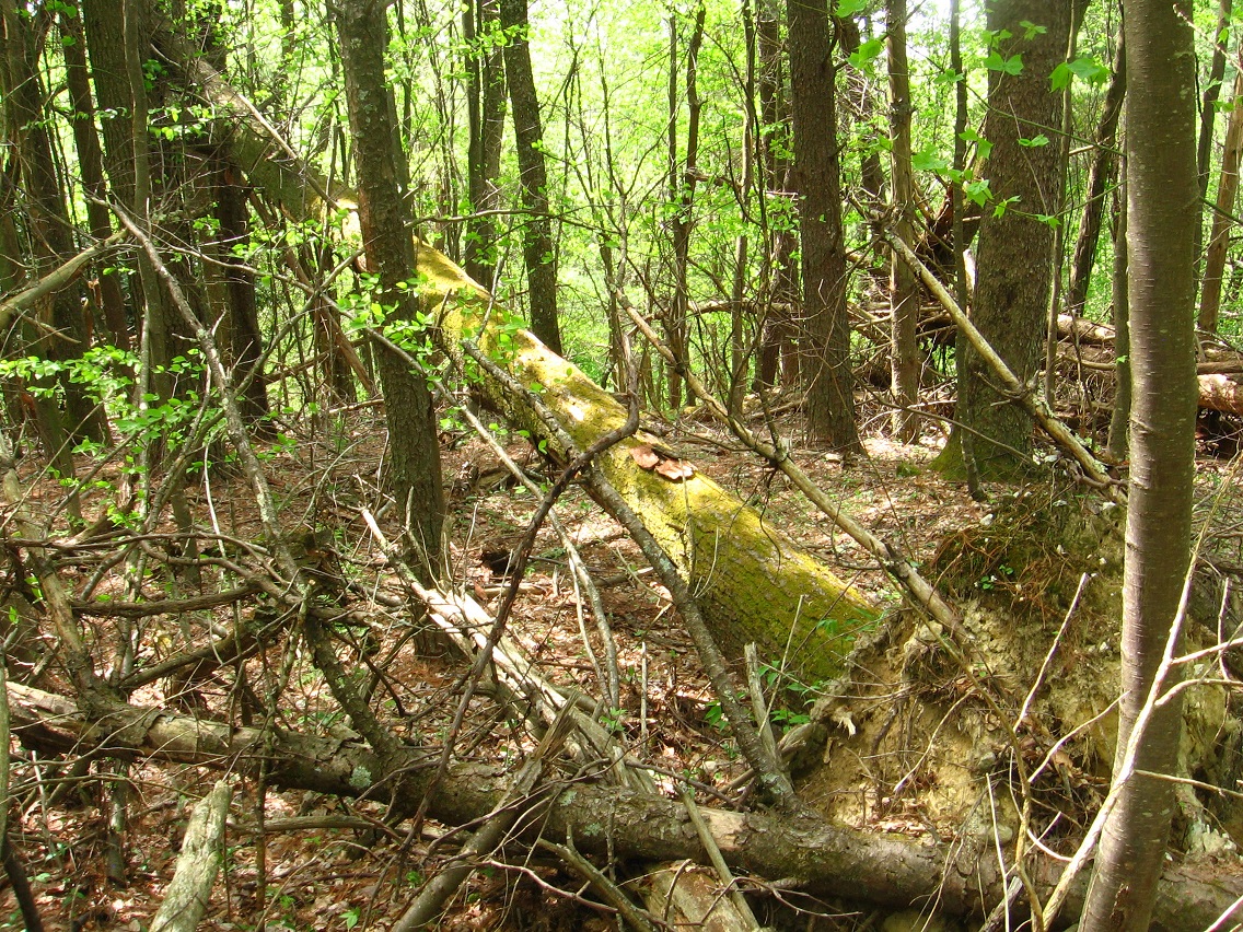
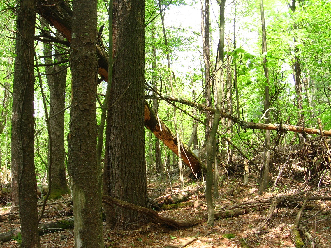
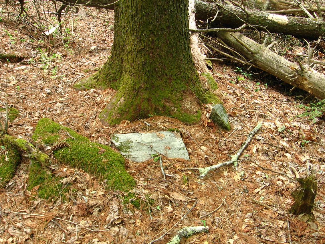
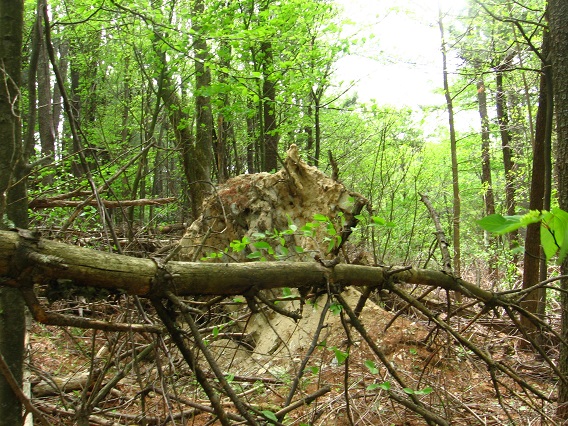
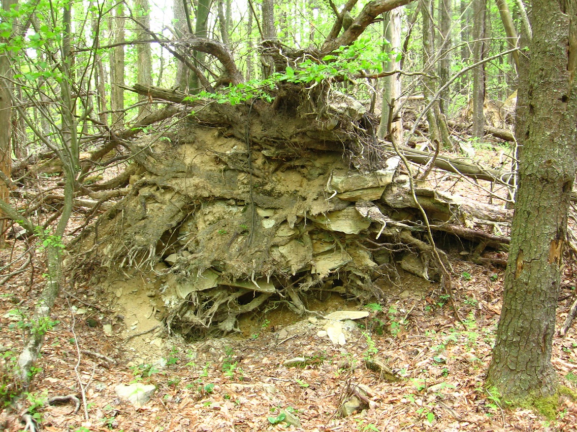
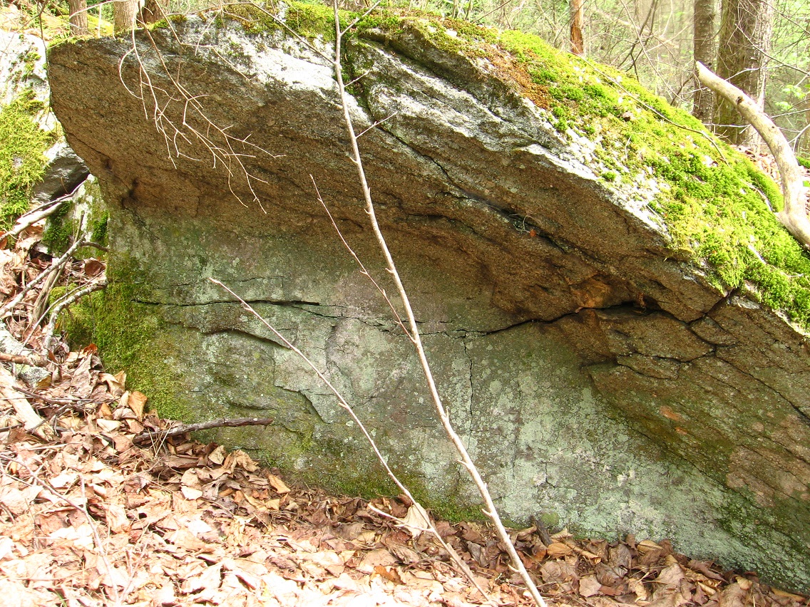
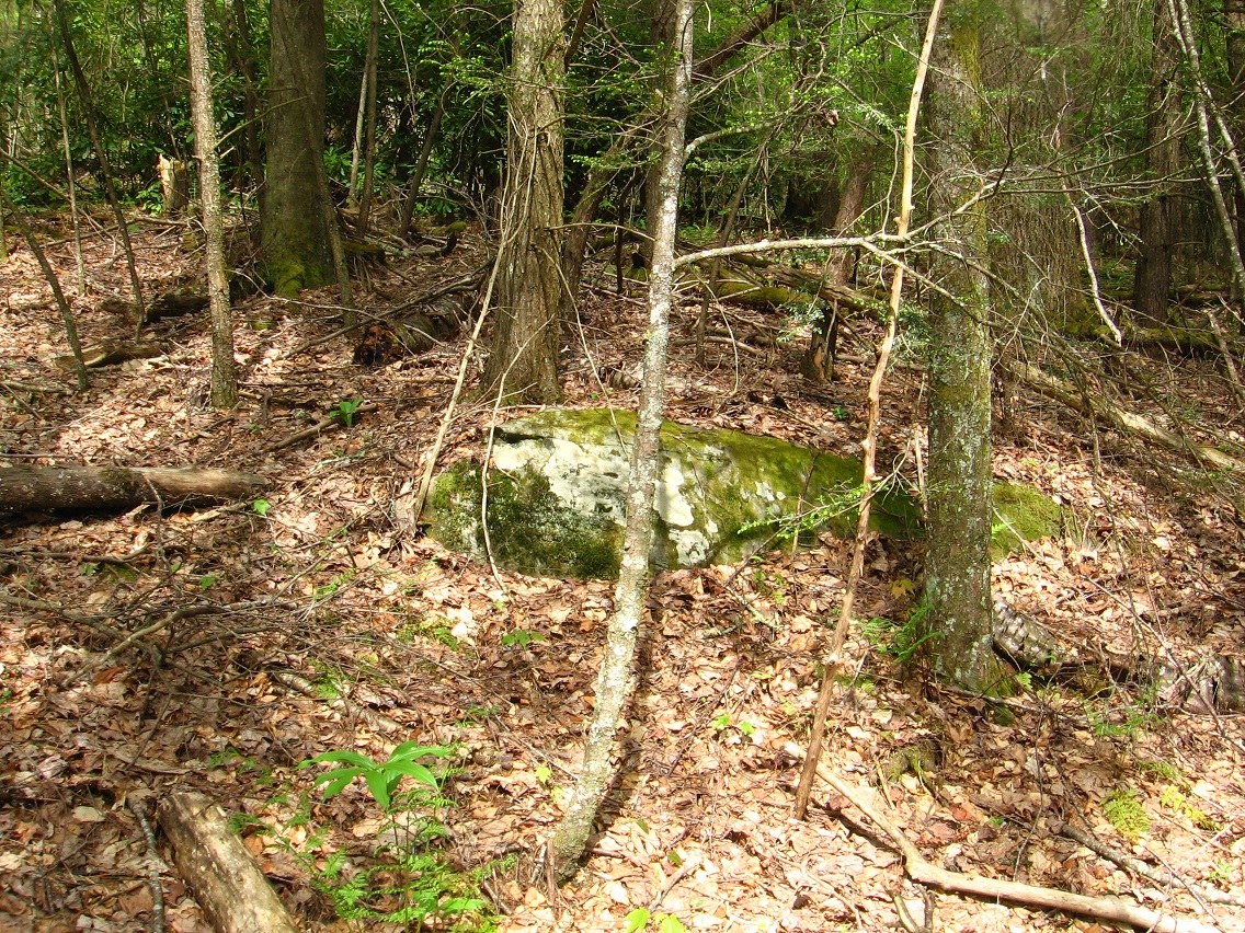
All I can do is move from Frank/Herman Park focus to Frank/Herman Park focus. A new focus is Falmouth Creek (lower right corner of map). I’ve now determined that the original village on this creek was called Old Baker Settlement. I have a rough picture for now; it exists in the basic center of Falmouth Creek, about equidistant from both source and mouth. Old Baker Settlement, or what remains of it (ruins) is white-ish rocks in a moss bank below a clump of trees.


We’ll get to more of the story behind Old Baker Settlement (OBS) shortly. Hopefully I’ll be able to take more pictures of Falmouth this weekend, despite the continued cold weather, PHEH. On the bright side, I’m definitely going to England once more. I had a panic attack in the middle of the night, and started thinking negatively about the trip. Now I’ve turned around again. Analysis of Falmouth collages is helping. Falmouth is centering — in Avebury. Might Avebury have something to do with Old Baker Settlement?
Falmouth, Indiana which lies on the line between Rush County (west) and Fayette County (east) was originally called Old Baker Settlement. That’s obviously where I got the name. The synchronicity to this, ‘coz there’s always synchronicities when it comes to Frank and Herman Park names it seems, is that the ridge separating Falmouth and Second Life Pond (named later) acts as a peculiarly extended *block* between more public land around that pond and Falmouth Creek, essentially and effectively isolating the creek while allowing it to be quite proximate to tourist attractions in Frank Park, Second Life Pond basically. So I decided to name this ridge Block Ridge, then remembering Old Baker Settlement as an original name for a US Falmouth, decided to change this to Bloch Ridge, after my main Second Life avatar Baker Bloch. Second Life Pond, lying on the other side of this ridge from Falmouth Creek, is named immediately after this, then. Second Life Pond is the origin place for not only Baker Bloch but also Baker Blinker, who was my original, dominant Second Life avatar during my first half year or so of involvement in that virtual reality. When I moved to mainland SL from Azure Islands in Fall 2008, Bloch, the male, took over as the dominant one. The story of my avatars is found in the Where Are We On That art exhibit I still have up in my flickr site. Accompanying the first two stories about Baker Blinker and Baker Bloch in that exhibit is a 3rd story about Hucka Doobie, in case you’ve ever wondered about *his* origins (this is the same as Hucka D.), and then Esbum Michigan and Wilsonia Foxclaw, my final two avatars I was using at the time. After the exhibit was created, I made 2 more Second Life avatars: Karoz Blogger (formed right after the exhibit) and, about a year later, my last one called Bracket Jupiter.
Hucka D.:
I heard my name and woke up. Howdy baker b. Heard you talked to Headburro Antfarm for the first time in a long time.
bb:
Yes. I just asked him if there’s a virtual reality out there to rival Second Life yet, at least as far as making pictures and galleries go. He suggested Minecraft, but I’m not sure it is a rival yet to SL, or will be in the future. The best hope is to attach something directly to a web browser, with a first person viewpoint and simply getting rid of the avatar.
Hucka D.:
But that wouldn’t be any fun.
bb:
Maybe not for me, but it would make things easier for people to see your work.
Hucka D.:
Oh you can’t do that. You have to have Second Life. What about the Pietmonds??
bb:
Yeah. Not sure. But back to Falmouth, if you want to talk about them. Second Life Pond, a logical name for reasons I can’t go into here involving the *actual* name of the pond. Another virtual reality.
Hucka D.:
Maybe that should be your new virtual reality. Is it still around?
bb:
Check the link I just made with your last sentence.
Hucka D.:
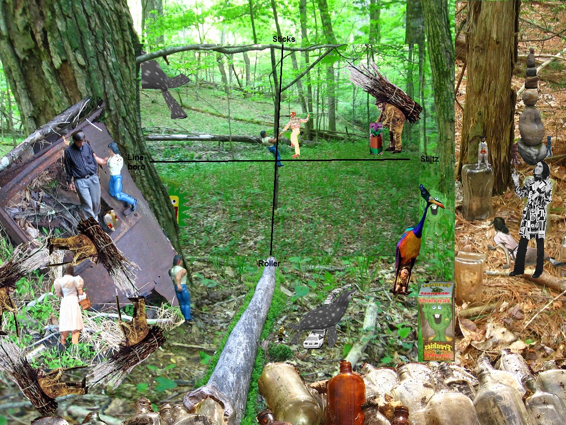
I’ll check it later. It was just a rhetorical question anyway. Second Life began in that pond in Frank and Herman Parks. Bloch Ridge blocked Baker Blinker from proceeding over the hill to Falmouth. Only Baker Bloch exists in the attached collage series[ Falmouth 02 and Falmouth 04]. Falmouth 01 02 03 04 is Old Baker Settlement. So, yeah, it *is* the same as Avebury, if you will. Falmouth is Avebury.
bb:
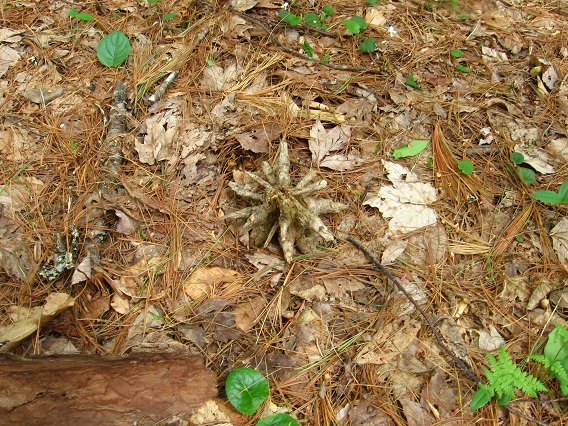
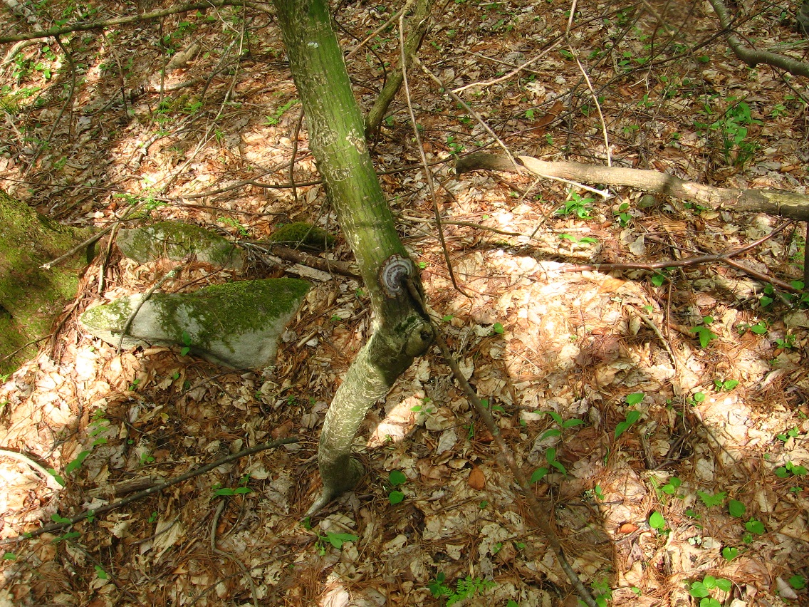
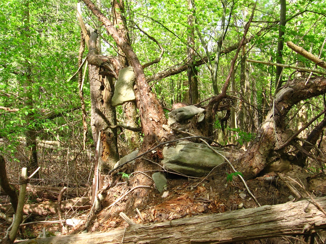
There’s Lean Rock in the creek just below OBS.

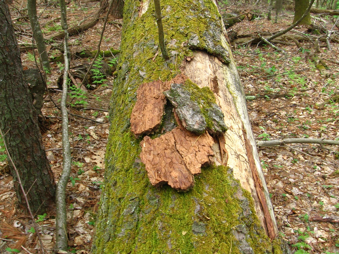
There was the mysterious writing “Fi” in a rhododendron leaf at OBS as well.

Hucka D. (guessing):
Hifi. Or High Five.
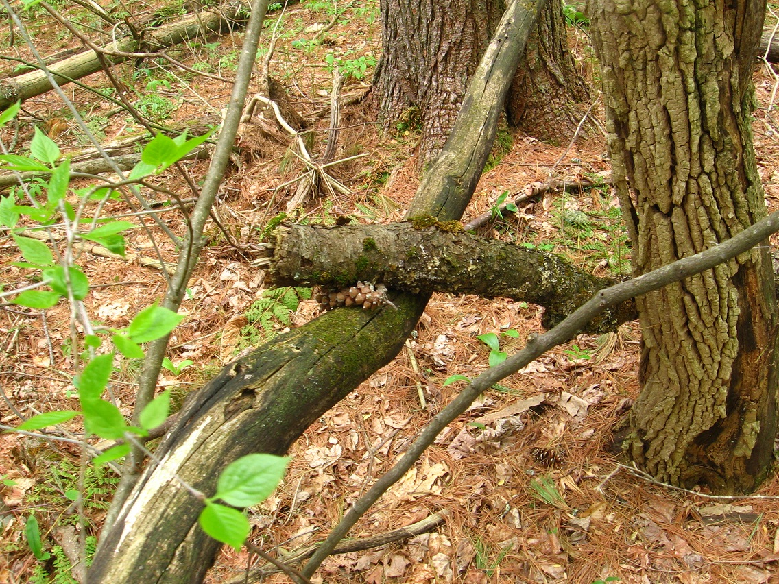
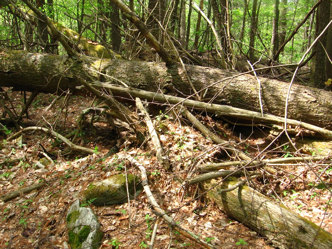
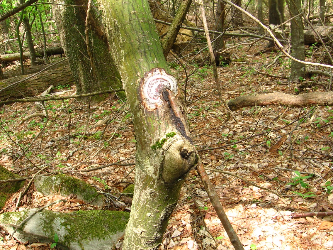
bb:
This is a picture of a cascade on a creek just north of Falmouth, just over another ridge, or I gues it is an extension of the same ridge [Bloch Ridge]. This creek lies between Falmouth and Gnirps.

Hucka D.:
That’s a pretty cascade. A popular vacation spot for toy avatars, much like Gnirps nearby. They stay away from Second Life Pond and Second Life Creek, however, because of the humans. Humans and toy avatars as yet do not mix.
bb:
I can imagine. So there are toy avatars at Falmouth?
Hucka D.:
Oh yes. Mouse and Shark. Bart and Lisa. Baker Bloch and Baker Bloch. Red Lion man/woman and Man/Woman. Hand. Non-President R. Booger Hayes. Sunfish. Patrick Star and his friends. Lots of toy avatars.
bb:
So it’s the same as the characters in the Falmouth collage series. The 2 Baker Blochs which are actually different Baker Blochs, for example.
Hucka D.:
Yes. Non-President Booger Hayes wants to speak with us again soon. He has some ideas about Falmouth.
bb:
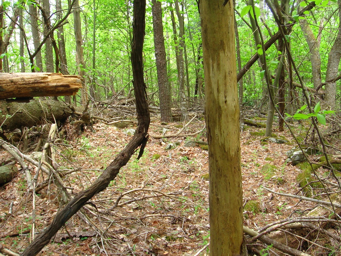
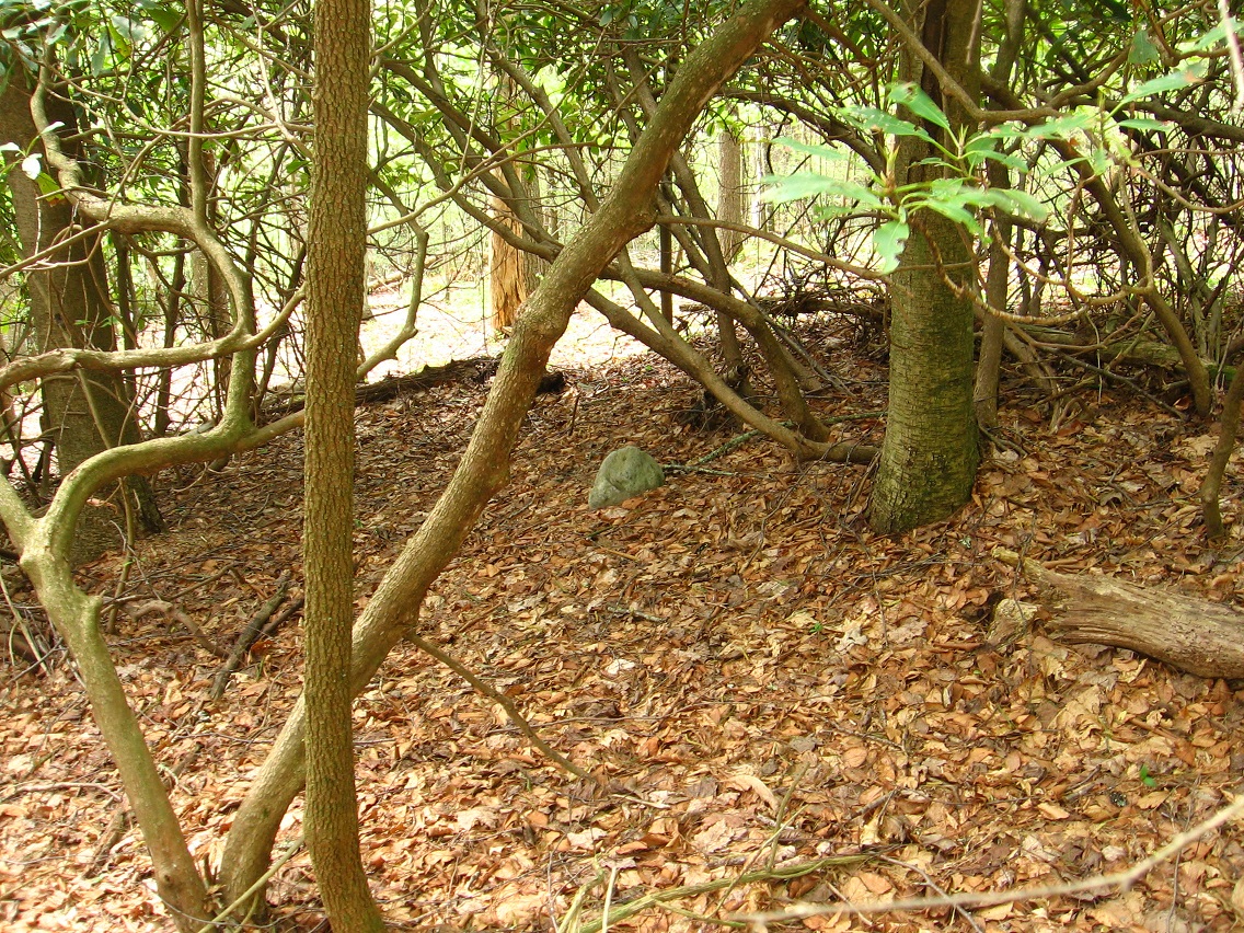
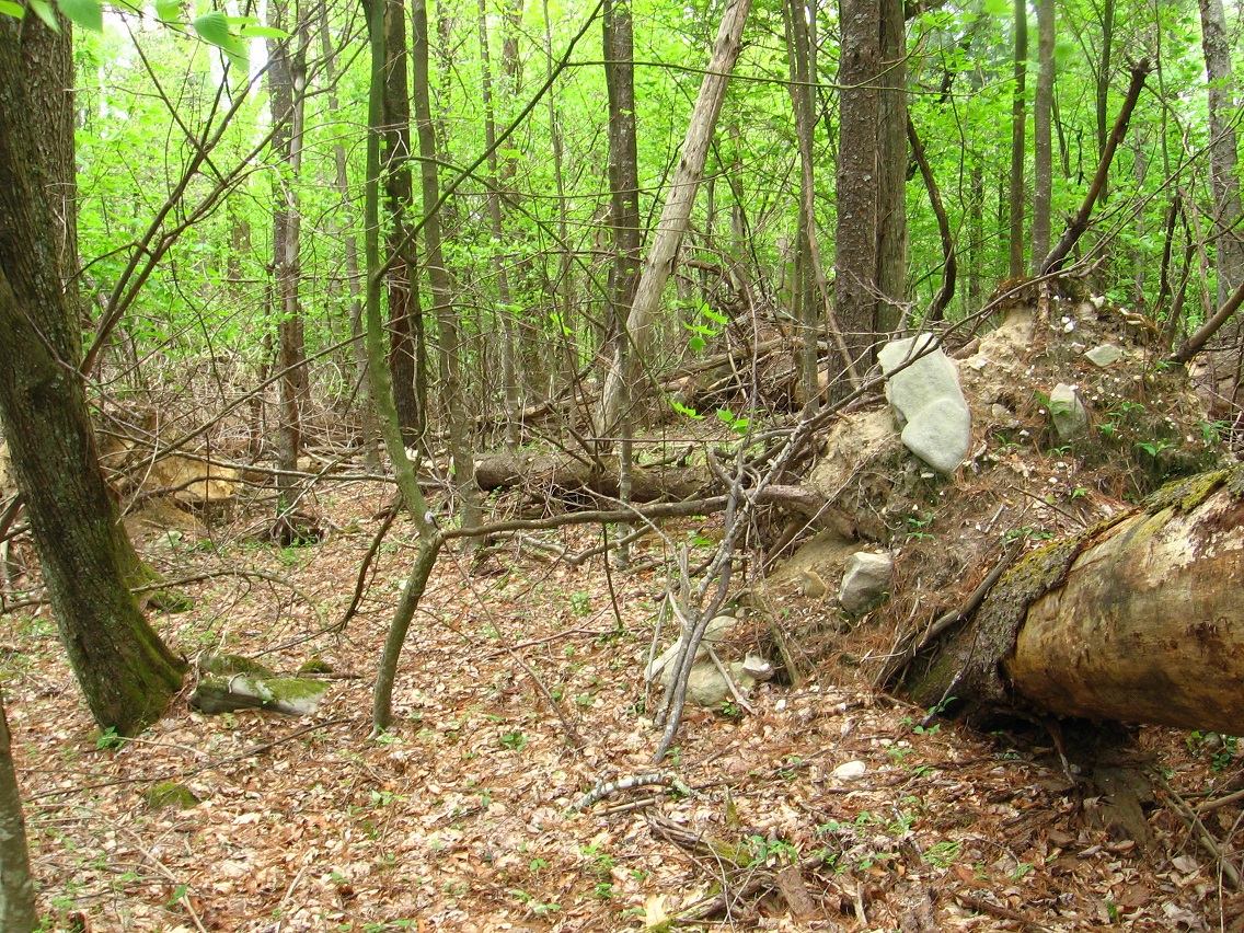
What of the other parts of Falmouth presently? — Visible I., Stream’s End, the unnamed spring which contains the mossy bank with *no* rocks, unlike OBS.
Hucka D.:
That’s a black hole. And the spring is a black hole. Rush.
bb:
How about X-Ray. Or Ray-dium, the follow-up?
http://en.wikipedia.org/wiki/Cygnus_X-1
http://en.wikipedia.org/wiki/Cygnus_X-3