Category Archives: Herman Park

Carr. Chat

(joined in progress)

bmul01

Carr.:

The Sphere tells all. Speak to The Sphere. One under, one over. A bit. Bite. Bite it.

bb:

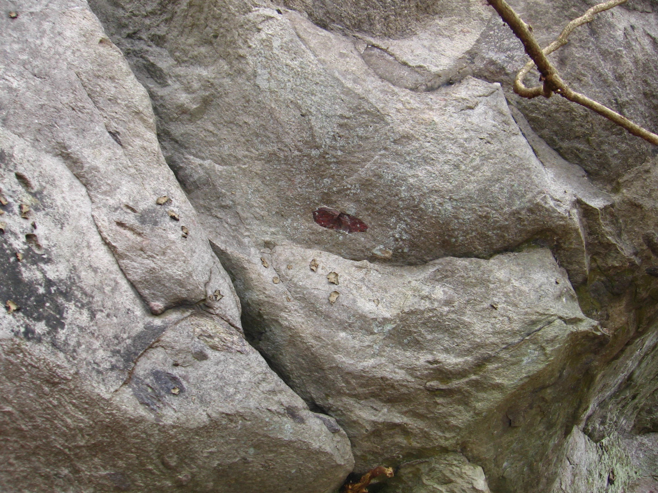
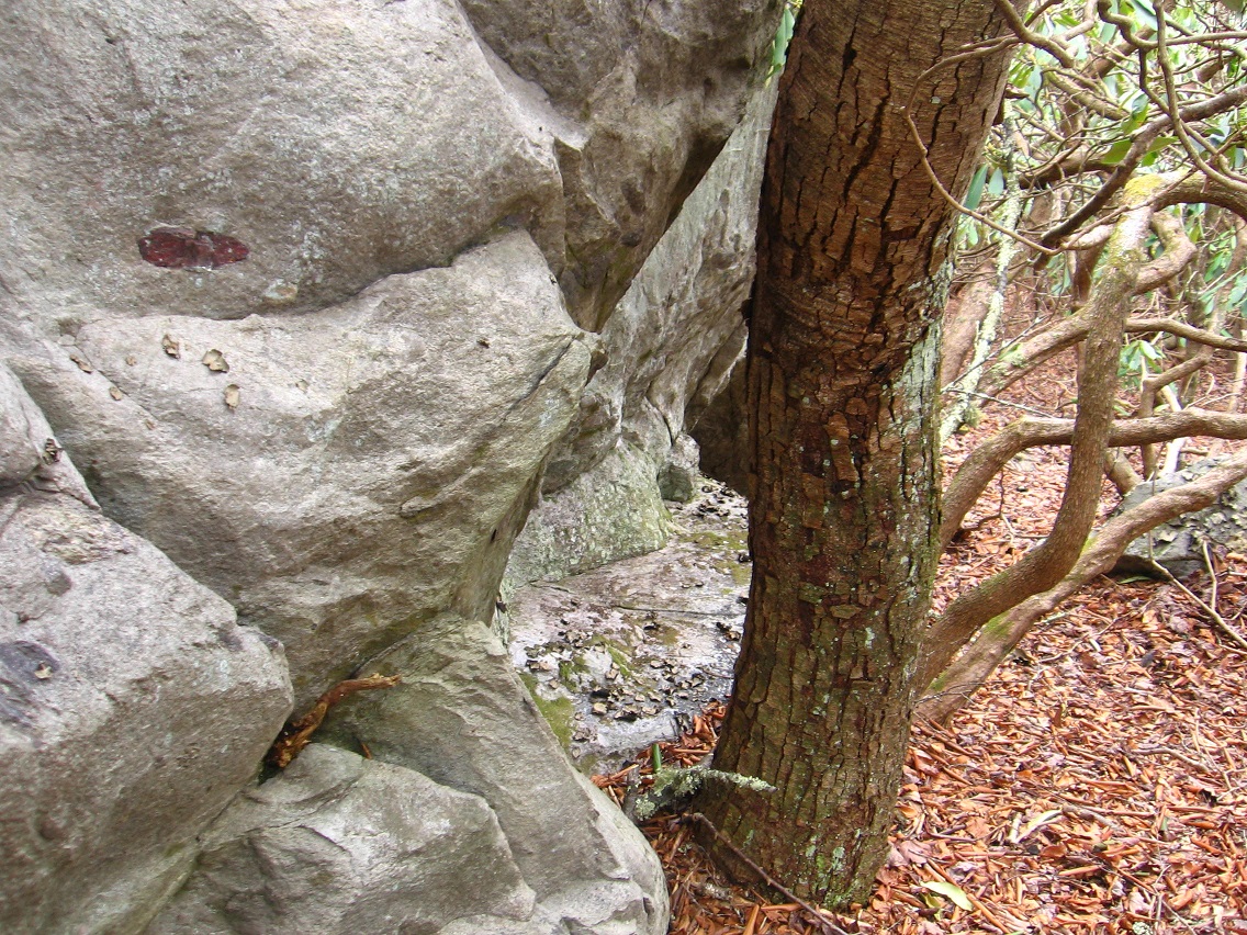
Amazing that you can even see that sphere or ball on the map, Carrcassonnee. This would of course be the one partially above water. High albedo effect here… like Venus. Maybe that’s why it’s hard to take a good picture of it.

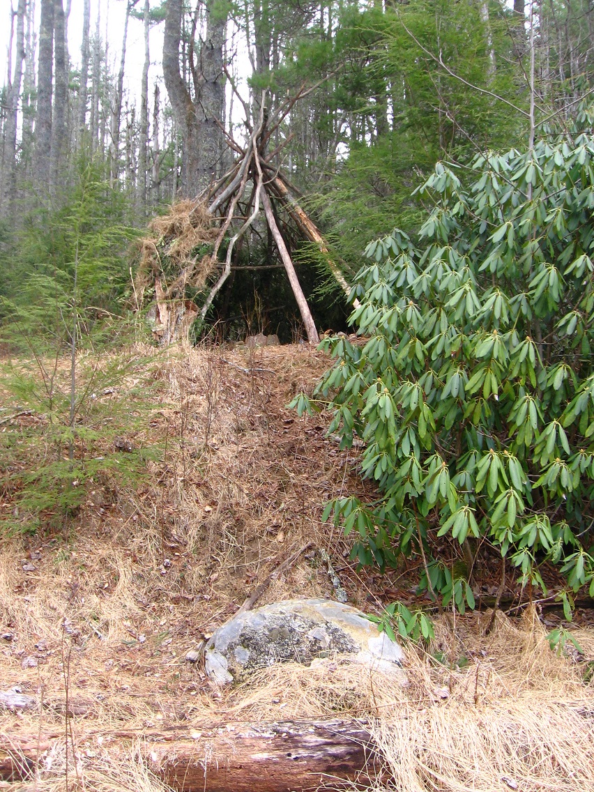
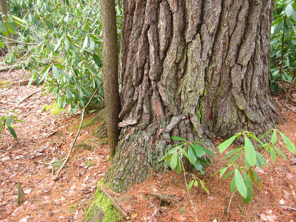
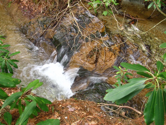
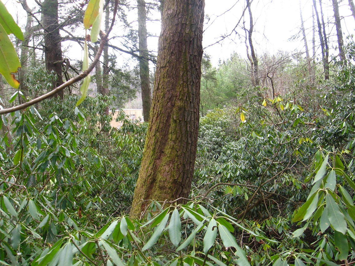
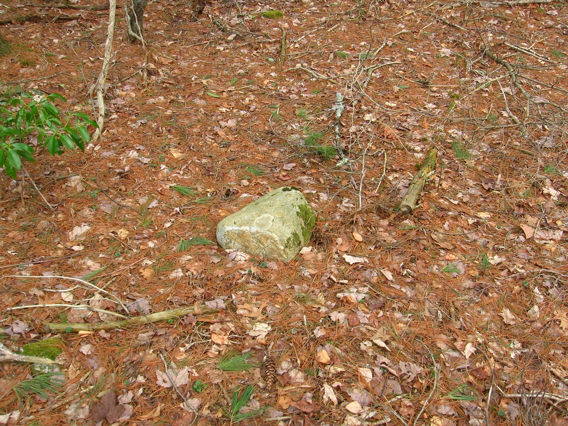
Finding the [second] submerged Sphere while wading up the creek kind of shocked me. For one, I didn’t know I was so near to the first. Who could have put them there?

Carr.:

Earthlings.

[delete 4 exchanges]

bb:

The effect of the interview with Karl is wearing off, Carrcassonnee, and I’ve lost my capital B’s.

Carr.:

They will returrn.

bb:

Thanks again. So, this Blue Mountain Urban Landscape. Can you talk to me more about it?

Carr.:

You sit beside me in Collagesity, asking questions. I answer.

bb:

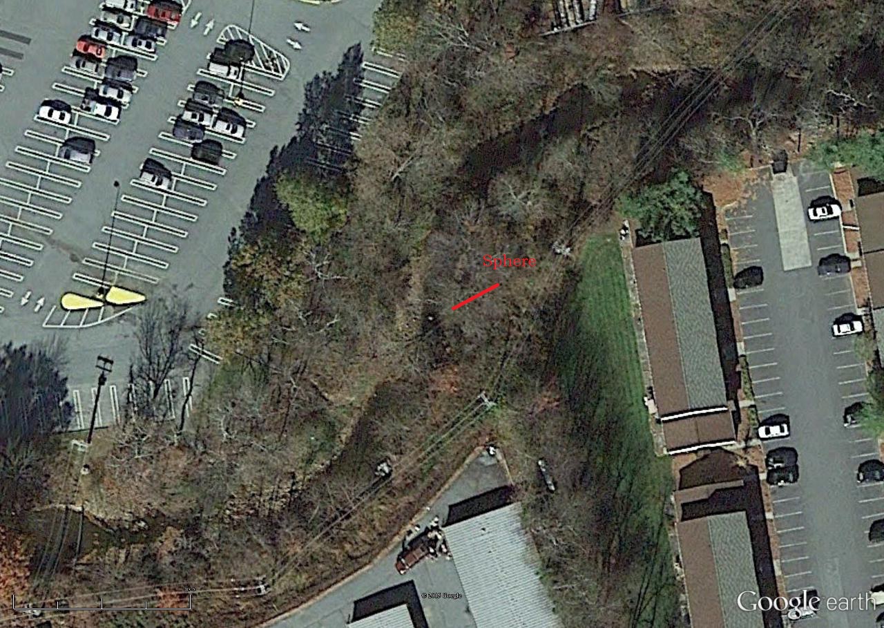
I want to show you a[nother] map. It’s of what I call ALO near the center of the Blue Mountain Urban Landscape.

Carr.:

Best to always say that as a full phrase[ so I can understand].

bmul02

bb:

I thought the center was where I marked it on this map. Now I’m thinking different. The 2nd yellow pin, unnamed, appears to be a center of toy activity.

Carr.:

Corr. ect.

bb:

But it’s on restricted ground. *Don’t* want to f* with the owners.

Carr.:

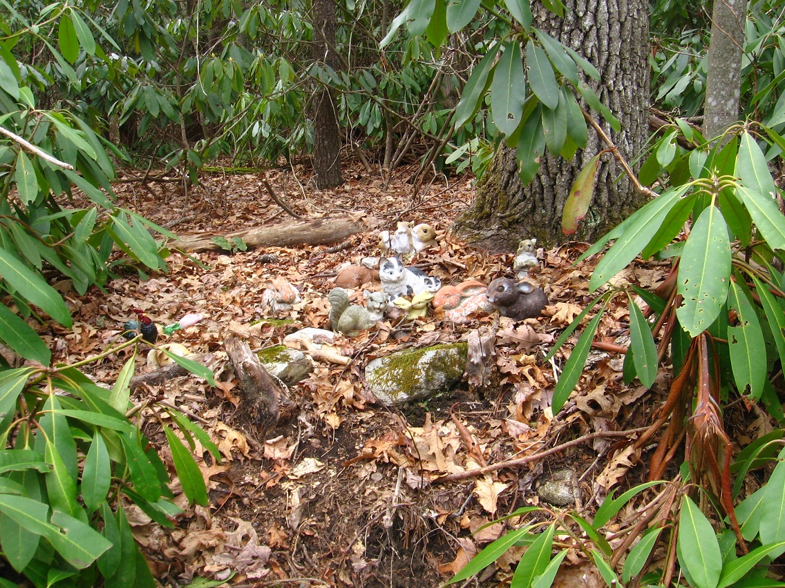
Nah. Stick to the stream. They’ll understand. Peanuts all.

stonethrow10

Remove Peanut from The Hole.

wis

peanut113

peanut111

bb:

Wonderful. The Hole in the very center of the animated tetraptych I recently completed. The most complex collage I’ve yet created, Carrcassonnee. The center of that?

Snapshot2035_006

Carr.:

UM. Yes. Yeah. Yea!

bb:

You play around with language sometimes like you’re not from around here.

Carr.:

You know I ain’t already.

bb:

Alien, then.

Carr:

Allen, yeah. Yep. Yup.

bb:

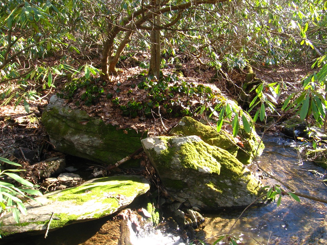
Do you *live* in that spot on the creek I’ve highlighted?

Carr.:

High Albedo. Me.

bb:

*You’re* The Sphere.

Carr.:

Talking to ya. Biting back. Bite the hand. Feed me. Venus. Uranus. Submerged. Neptune and Uranus. *Or* Venus and Earth. You pick. You choose. Your choice.

bb:

I think the totally submerged sphere, then, would be Neptune. Totally out of sight. Totally hidden beneath the waves. Uranus — can be seen with the naked eye sometimes if you know right where to look on a clear night. So that’s the one that pokes out from the stream. Or… maybe it is Earth.

Carr.:

I need a home on Earth. I will be therre.

bmul01
baker b. shortly determined that it’s probably Uranus still and not Earth. Thus its faint appearance on this map. Signal.

Soo…

IMG_0035smaller
Neptune.

IMG_0207smallest
Uranus.

bmul01
Uranus.

2 Comments

Filed under Blue Mountain, Green Oz Creek, Herman Park, Wealthy Mountain

Warmer Weather Hiking

Middletown/Ashville wilds are basically closed up to me until October. Even moreso for Mythopolis: November. I’m stuck with Blue Mountain now in terms of off trail hiking. I’m going to try to extend this into May up here.

What closes them up? The heat for one thing. Wearing shorts is not an ideal situation for off trail (Blue Mountain has a lot of mountain nettles, for example). Gnats for another. And a big one: poison ivy/oak. This goes triple for Middletown. This goes triple times triple for Mythopolis. Up here the poison ivy is around but scarcer. There’s some in Whitehead Crossing, for example, but you can pick your way around it, especially if you have a rough idea of its location beforehand. Growing up in Mythopolis was quite different. There you’d have vast fields of nothing but poison ivy sometimes to deal with. That’s a huge plus for Blue Mountain even in comparison with Middletown, where the poison ivy situation is between the two.

Then we come to the wildlife critters, and I think especially here of snakes. Don’t want to step on a snake in the undergrowth. Now Blue Mtn. has it’s share of snakes for sure, but again Mythopolis trumps it, and Middletown, once more, lies between the two in terms of the risk of stumbling upon one of the feared creatures. When I lived in Durham I found that snakes were all over the place — no chance of practical off trail hiking during summer months atall. In Blue Mtn. — Whitehead X-ing once more — you can get away with it.

So: gnats, poison, snakes. That’s the big 3 in terms of living things. I suppose we should add mosquitoes in with gnats, but they’re not as everpresent.

Other critters I’m semi worried about are bears, but I’ve only run across one in all my hiking days, and I encountered him/her on a designated hiking trail. This is one reason I don’t do a lot of off trail hiking at Granddaddy Mtn. Another is conservancy issues. Bees/hornets are also something to think about, especially ground nests. Wolves/coyotes are around; foxes. And I’ve found what is most likely a skunk hole recently at Drink Lake that I need to avoid in the future. Raccoons might be worth pondering.

The woods are just a more dangerous place in warmer weather. The now foliated trees do not allow rocks to dry as quickly, raising chances of slipping on them when wet. And heavy rain, often unforecasted, comes more frequently in the summer.

And so I don’t accomplish a lot of off trail hiking even in relatively safer Blue Mountain. Now *England* might be different. There’s not many snakes. There is *no poison ivy/oak*. The heat is much less of a problem, and I assume the gnats and skeeters as well. England would be *ideal* for summer, intra-woods hiking. If you had enough woods.

And that’s where the advantage shifts to Blue Mountain, once more. Blue Mtn. has woods in spades. Whitehead Crossing is still a center.

IMG_0095smaller
Still rock’n!

Leave a comment

Filed under Blue Mountain, Frank Park, Herman Park, Middletown^, Mythopolis, United Kingdom, Whitehead Crossing

Stream

“Stream” might still be important.

Pulling Further Out…

This is the same as George Harris’ Son’s Branch, the one looping around our Blue Mountain house. It has its origins on the north side of Herman Park. Protected. But then shortly entering unprotected area as it snakes toward our house, our neighborhood. Our degenerated ridge. Along the way it passes through Harrisonia — unprotected, true, but still with energy. A shed sits in the middle: Harrisonia Central. Who put this shed there? Did they build it on the spot?

From the same 2008 post, CREEK is now called Tile Creek, more commonly known as Yards Creek, however, to non-Tilists. RIVER is the same as Spoon Fork, the main waterway of Frank Park. Not yet known about at the time of this post is Whitehead Crossing, and the importance of its Green Stream lying kind of in the middle of all 3.

The designations have changed. The flows have become more personalized. All revolves, seemingly, around Whitehead Crossing now. Red Head, Greenhead, Whitehead. Blue Skies Mr. above all.

elton

RGB_illumination

Leave a comment

Filed under Blue Mountain, Frank Park, Harrisonia, Herman Park, Spoon Fork, Tile Creek, Whitehead Crossing

Return of the WIS Map

https://bakerbloch.wordpress.com/2013/03/29/return-to-the-wis-map/

wismap01

wisdetail02

This mysterious WIS center that all Frank and Herman Parks seem to revolve around is obviously Red Head in a way, in a manner.

1 Comment

Filed under Frank Park, Herman Park, Whitehead Crossing

March 29 2015 photos

New territory discovered not once but twice yesterday (Sunday). We start in Boulder — or more precisely on the edge between Boulder and Herman Park — where for the first time I poked around the mouth of TILE Creek as it empties into a fork of the Old River (ironically one of the newest rivers in not only the United States but the world). The mouth is found just off the short driveway down to the Boulder Water Treatment Plant from the main highway. Plant employees have apparently created steps down to the stream juncture; a kind of miniature park. Perhaps they go there to eat and relax at lunch and on breaks.

This is the small gorge that the Old River fork runs through just before encountering TILE Creek. Possibilities exist here for future toy happenings. I was happy to find it. Civilization lies all around this pocket of gorge-ous wilderness. 🙂

IMG_0011smaller

A small but very sandy beach just downstream from the TILE-Old conjunction.

IMG_0019smaller

This hemlock towers over it — obvious ruler. This is yet another spot that could serve as a toy happening.

IMG_0020smallest

A green-ing island at the Mouth of TILE. Green Isle I suppose is as good a name as any.

IMG_0027smaller

Then I decided to hike in neighboring Frank Park this same day and found another new and most likely more important discovery: a whole *’nother section of Whitehead Crossing*, effectively blocked off from the main part. That’s why I didn’t find it until yesterday. I will definitely be heading back to this area sometime during the next handful of days. For now I’ll say that Green Stream, Whitehead X-ing’s largest water flow, cascades through the western edge of the open area. This region has also been called Red Head in the past, and supposedly where Mossman settled in ancient times after finding the Korean Channel through the old Spoon Fork Portal System. But Red Head remained only conjecture until yesterday.

Interesting rocks at the top of one of the several Red Head cascades. I’ll most likely create a map of Red Head sometime this spring, when I gather more information. First off, I have to figure out an *easier way into it* (!).

IMG_0032smaller

This seems to represent a very important rock toward the northern limit of the cascade series. Additional info soon (once more).

IMG_0034smaller

Many interesting features in the cascades region.

IMG_0045smaller

And this is a shallow pool of water found nearby which I also hadn’t known about before. Most likely it will garner a name soon as well. But as hard as I tried, all paths heading toward the main part of Whitehead Crossing evaporated from this direction. I could *see* the main part through the trees and rhododendron — just couldn’t reach it.

IMG_0058smaller

Rotted tree near the pool.

IMG_0061smallest

Another nifty Red Head rock on Green Stream, this one toward the southern end of the blocked off region. South Rock?

IMG_0062smallest

Leave a comment

Filed under Allen Knob, Boulder, Frank Park, Herman Park, Tile Creek, Whitehead Crossing

The Ra.

ehearts

http://anagram-solver.net/earth

harte
hater
heart

I’ve just initially explored what on the below doctored map can be called the “Mercury Ridge” of Sharieland.

https://wordpress.com/post/38932651/7344

cueballeightball04

Herman’s Mansion in Disguise, once more:

munsters

More soon! Sharieland may be a spring hiking focus. I’m almost healed.

1 Comment

Filed under Herman Park, MAPS, Sharieland, Virginia

Sharieland

Found in a bend on the carriage trail. Funtastical! Wonder who put it there?

IMG_0037smaller

IMG_0038smaller

“Mercury Ridge” shots from Sharieland.

Quite interesting looking rocks throughout — not large but seemingly well placed, let’s say.

IMG_0050smaller

Mercury Ridge trees.

IMG_0051smaller

IMG_0062smaller

This represented my initial exploration of the ridge.

Leave a comment

Filed under Herman Park, Sharieland

Deal

So here it is. Here’s my theory. Remember all that talk about a 4th Way into Whitehead Crossing last spring and summer? Remember how *Story Room* dwelt in the house at the end of this path or way? Here’s the related collage…

falmouth62test01e
“Fourth”

https://bakerbloch.wordpress.com/2014/09/03/update-03/

I know who this Chuck is. And why he lived at the end of the 4th Way.

“He came into Collagesity and took Carrcassonnee’s place just to show[ you] that he could do so. Then he left. He doesn’t consider this place real. What’s real for him is out there.”

I take Frank Park and give you Herman. Have fun with Herman. I have Frank.

They’ve simply taken the whole [Allen Knob], pheh. Same person or people obviously. 2130.

IMG_0089smaller

Leave a comment

Filed under Allen Knob, Frank Park, Herman Park, Whitehead Crossing

Hiking Updates

Focus this year seems to be more on Herman Park and TILE Creek and Drink Lake. Also: Notherton a bit, over in Frank Park. Big news so far is the discovery of an earthen teepee smack in the middle of my precious Whitehead Crossing. I’ve been invaded! I do not know the culprit but the wife suspects Sustainable Development students from the local college. Maybe a paper or report is involved. Anyhoot, they’re there now, and I’m sure I’ll stop in every week or 3 to check on progress. The teepee is not yet finished, and will not protect from the rain. Does someone plan to actually live in it for a spell? Perhaps the *whole summer coming up*? But, like I said, it’s there now.

The other prime development is a re-attraction to Herman Park, specifically the Drink Lake environs. Newly explored regions include Straw Hole on the shores of Drink Lake, and also Ditchlandia below the lake’s dam. I desire to create another toy happening. Will the setting be Ditchlandia? A distinct possibility. I haven’t returned to Billfork yet this early spring but that’s probably in the cards soon as well. Perhaps this weekend… I wish Carrcassonnee was still around to talk to. Or Hucka D. Someone. But I guess there’s Artie J. Spongeberg now.

AJ Spongeberg:

No.

bb:

Not available?

[no additional answer]

I’d also like to get back to Sharieland. Look at that Mysten Rock again. Toy happening there instead? And what about Middletown? Wasn’t the plan to have a toy happening at Dead Center Hill before the poison ivy returned? What about that? What about Mythopolis and the Spine Line?

Hucka D.:

Okay I have returned.

bb:

Great (!) Where’ve you been?

Hucka D.:

Doesn’t matter. Frogtown. Jennifer.

bb:

Jennifer?

Hucka D.:

A friend. A real good friend. Real good.

bb:

I’m glad you’re back.

Hucka D.:

We must speak of Whitehead Crossing, for one. Doug is involved. Doug is in the [teepee]. Stay away from Doug. Beware of Doug.

6715691973_95a3fccb6c_o

Leave a comment

Filed under Allen Knob, Drink Lake, Frank Park, Herman Park, Sharieland, Tile Creek, Whitehead Crossing

Sunday’s Photos

I stumbled upon what I believe to be part of the “Spite Wall” this day, separating Herman Park from lands to the south. I’ll have to look up the story about this wall soon. I also lost my sunglasses there, but found them upon a return the next day. Lucky me!*

IMG_0001smallest

Jupiter Rock on Gene Fade’s Mountain, where he was born and grew up. Yes, Gene is a true, dyed in the blue Jupiton, and he never forgot his roots while at the same time going beyond them.

IMG_0005smaller

A shot of Jupiter Rock’s Red Spot, and the place Hucka D. states was the small “downtown” area just beyond.

IMG_0007smaller

We move back to Herman Park now and Ditchlandia. Only a few of my photos turned out to be blog-worthy of this place on this particular shooting spree, and here we have one of ’em: a pecked tree on the eastern lip of the ditch in question. I would assume this ditch to be an old road of some kind. But if so it’s now bisected by TILE Creek. Was the creek channeled here later on? A distinct possibility given that Drink Lake may have been created after the road.

IMG_0017smaller

Interesting drop of water on TILE Creek basically in line with the ditch/road laying on either side of it. Multi-colored earth here.

IMG_0019smallest

A couple of the numerous Ditchlandia hemlocks.

IMG_0021smaller

IMG_0023smaller

Prominent Ditchlandia rock on the eastern edge, toward Drink Lake and its dam.

IMG_0027smaller

Smashed up boat lying just at the bottom of the Drink Lake spillway.

IMG_0030smaller

I think it is the same boat found in this verse:

https://bakerbloch.wordpress.com/2014/11/18/stuff-more-maps-02-2/

Then he said that she was a wind, a strong terrible wind, coming out of the darkness of a stormy sea and that he was a boat left on the shore of the sea by a fisherman.

—–

* Related passage:

pipland

Leave a comment

Filed under Drink Lake, Frank Park, Gene Fade's Mtn., Herman Park, Tile Creek