Category Archives: MAPS

on 2 St. Joe’s, and then… *rainbowology*!

Just fyi and to complete the thing, I kind of reversed the rainbowology story below tonight to have it being born in Ft. Wayne, at the beginning of the Maumee R., and then die in Toledo, at its end, when native Farr assumes his eerie position as world controller. Believe what you will of it.

—–

http://en.wikipedia.org/wiki/St._Joseph_River_%28Lake_Michigan%29

Stjosephmirivermap

It shares its name with the St. Joseph River of Lake Michigan, but the two rivers flow in generally opposite directions.

http://en.wikipedia.org/wiki/St._Joseph_River_%28Maumee_River%29

Maumeerivermap

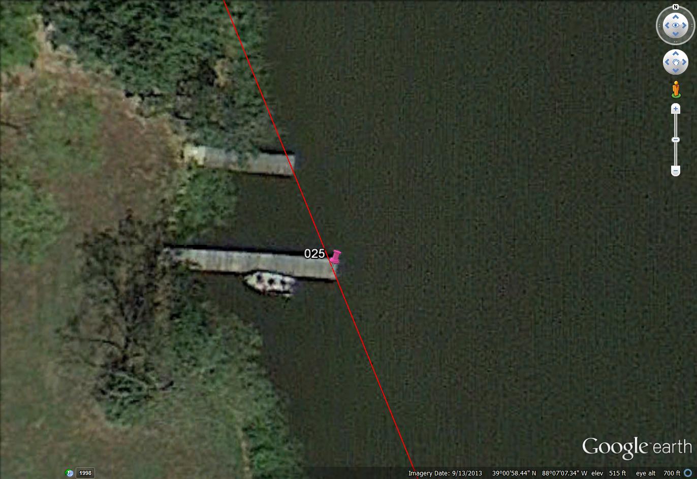
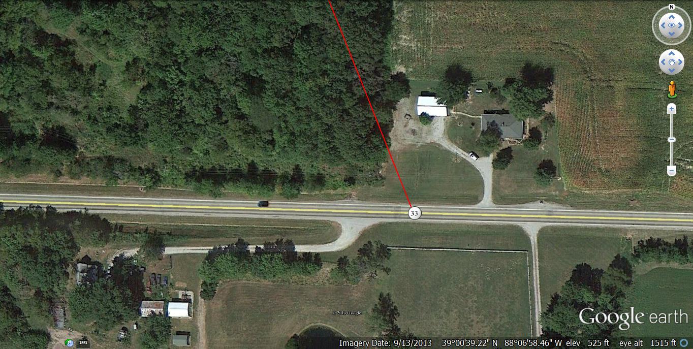
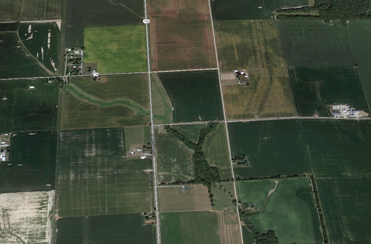
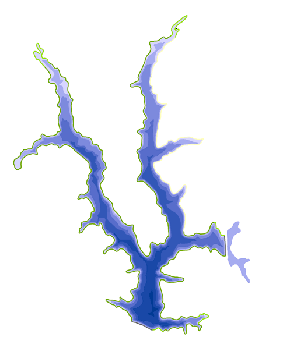
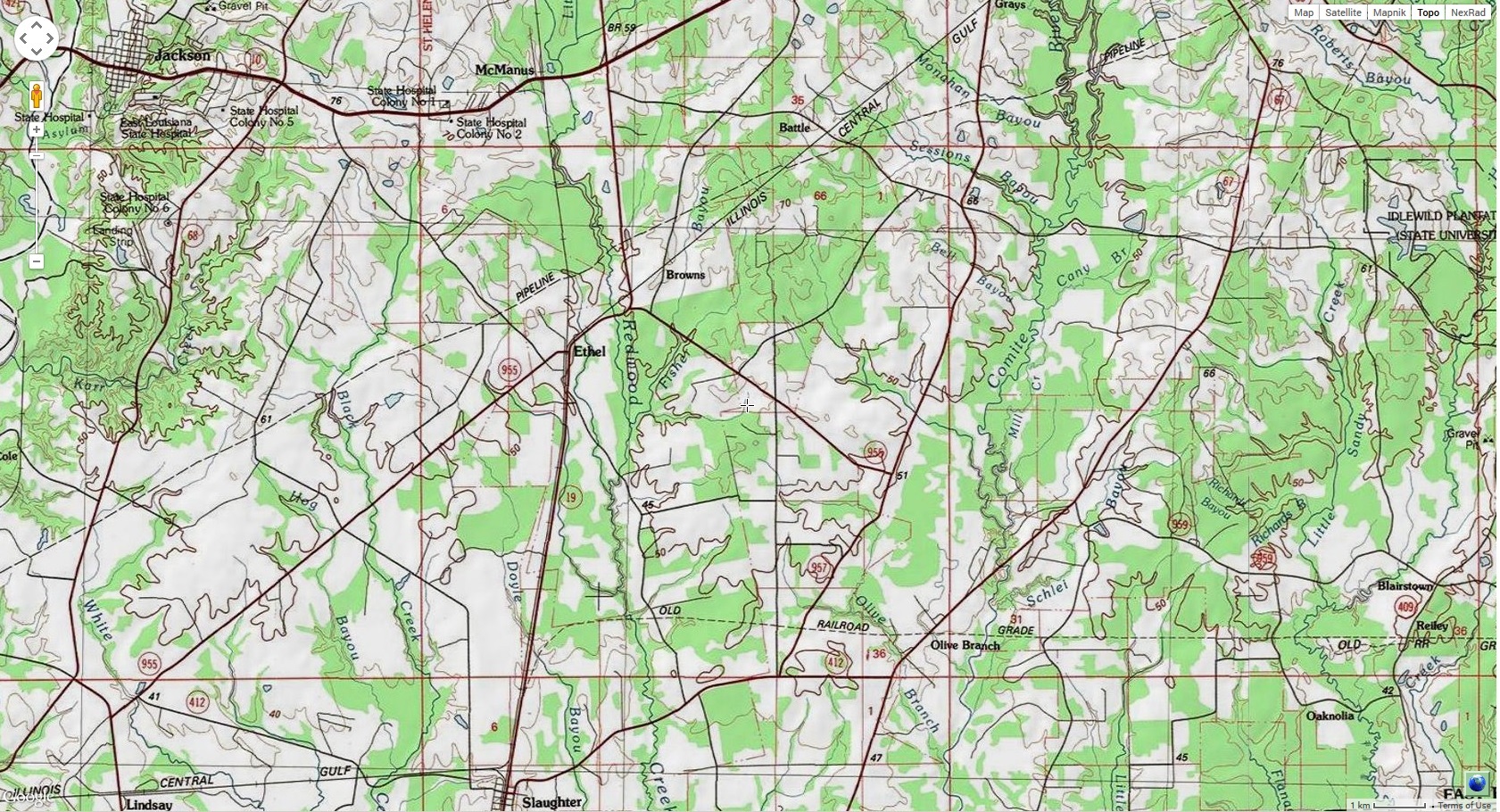
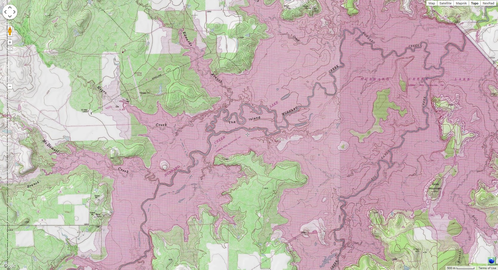
The St. Joseph River forms in northern Williams County, Ohio, at the confluence of the East and West branches at 41°38′54″N 84°33′55″W[2][3][4] Both branches rise in southern Hillsdale County, Michigan. The headwaters of the East Branch are within 3 miles (4.8 km) of those of the St. Joseph River of Lake Michigan.

http://en.wikipedia.org/wiki/Saint_Joseph

Josephology:

http://en.wikipedia.org/wiki/Josephology

http://en.wikipedia.org/wiki/List_of_places_named_after_Saint_Joseph#United_States_of_America

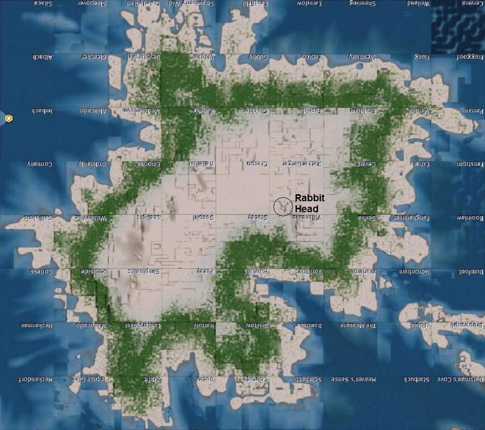
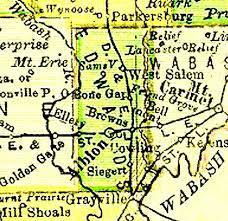
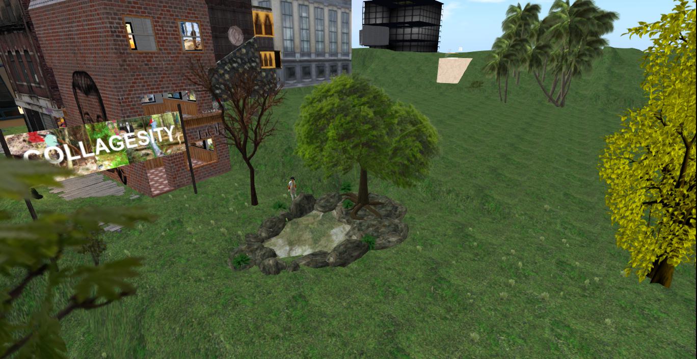
“Peter finds a map of Hillsdale County in a Newton library in the late 1800s or early 1900s. The 2 St. Joe Rivers are joined. They are the same river. At a certain point they are separated as 2 snakes separated from each other. This occurs at Ft. Wayne.

299px-Caduceus.svg

birth of baby rainbowology

joseph02

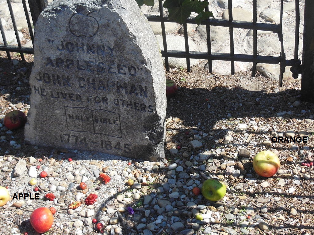
Early in its history, rainbowology development was jump-started by Johnny Appleseed’s discovery of the irrevocable differences between apples and oranges, and never the twain shall meet. Reminds me of the famous knock knock joke that ends, “orange you glad I didn’t say apple?”

appleseed01

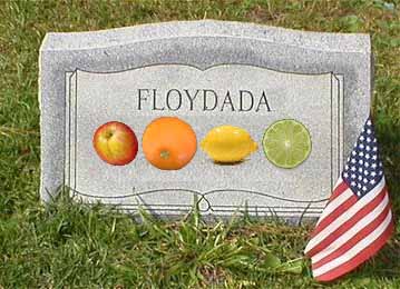
In 1969 Defiance, Ohio native Frank Floydada discovered the genetic link between apples, oranges, lemons and limes, and was brutally beaten and murdered for his revelations, as well as discredited. Rainbowology continued to flourish.

floydadatombstone

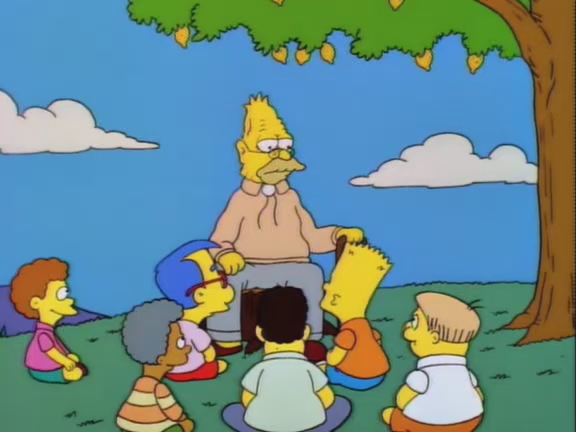
In 1979, actor Maxwell Jamie Klinger Farr discovered the first mashup during a break on the set of AfterMASH. While watching an episode of The Munsters where Lilly Herman says, “take my hand” to a palm reading customer, in the next trailer over fellow AfterMASH star Henry General Potter Morgan viewed Helen Krump taking the hand of Andy Griffith in marriage on the 1st episode of Mayberry R.F.D. They later compared notes; Farr’s famous “Mayberry Munster MASH” creation soon followed. Johnny Appleseed’s long standing apples-against-oranges edict first became vulnerable.

farrhands

In 1983, backwards messages in Gary Burghoff’s acid jazz album “Radar Spelled Backwards is Still Radar” revealed that Farr is an alien from the planet 3M orbiting the red giant Aldebaran who intends to take over the world by morphing it into a colossal mashup over the next 30 years. “Mayberry Munster MASH” was just the seed, the messages imply; Burghoff has refused comments.

https://i.chzbgr.com/maxW500/4830356736/h7832298F/

h7832298F

In 2013, true to the “Radar” messages, Farr actually took control of our planet, although he then quickly manipulated time so that everyone would forget this. The corpse of Rainbowology was discarded into an eerie, unmarked grave. MASHUP is ubiquitous.

—–

1 Comment

Filed under Indiana, Michigan, Ohio

No where.

I realized in writing that last post that Hill. controls everything. From the future. That explains Hucka Doobie’s mantra about Arkansas being the center (and not that hated, “reveal all” state just to the north). Hill. makes it so. She is De Queen. I can’t even write some of the things I know about Arkansas. Jethro is Jethrine. Bill is Hill. Nowhere Man.

1038269840_cturesboob

I wonder if Hucka D. could be *any* help tonight? haha.

Hucka D.:

Dig deep into Arkansas. Patmos. Greek Isle. You know.

bb:

What about Arkansaw? R-kansas?

Hucka D.:

There’s another level. Be subtle. Bill’s on to you.

bb:

I was surprised to find out that Glen Campbell was born in [Bill’s town]. And then he gets his own town in Pennsylvania. Suspicious.

Hucka D.:

You joke, but there’s no joke. I am not laughing as you see.

bb:

Hmm.

Hucka D.:

When you find the 12th, the Golden City, then you’re back to 1. 12 is 1. Big circle. We should take a field trip to Arkansas. Through this blog. I am the 4th, the “Y”.

bb:

Which is the 11th. (pause) Oh, of course. Roger Pine Ridge!

Hucka D.:

Sitting there all along in R-Kansas. Awaiting your call. Contraption at foot. In hand.

bb:

What are we waiting for?!

Hucka D.:

Nothing. Nothing at all.

Leave a comment

Filed under Arkansas, MAPS

SPSP 33 Line 02

Prime line: 1.32 miles long. The line traverses Sam Parr Lake near its longest stretch of water, at an angle of approx. 338 degrees. The line grazes a quite suspicious number of peninsulas along the way, as I’ve marked on the map. Position 132 is at the upper end of the lake, 1.32 miles away from point 000. This can be read as 4 x 33 for our purposes. Position 33 is 0.33 miles up from position 000 on this line, or 1/4th the way up its length. This happens to mark the only boat found floating freely in the lake in this GoogleEarth map rendering from 2013, that is, away from any dock. Position 25 (0.25 miles from 000) just below marks the end of a pier where another, very similar looking boat is docked. The boat, just to the west of the 33 Line, is also 0.25 miles from position 000. It is the only boat besides the one at 033 not docked at the park’s marina, as far as I can tell. If the end of the SPSP 33 Line is determined to be at position 125 instead of 132, then point 025 is 1/5th the way up this slightly shorted version.

spsp13

How the boat positions along the SPSP 33 Line appear to relate to musical harmonics:

http://en.wikipedia.org/wiki/Harmonic_series_%28music%29

harmonics02

spsp14

Boat 33 (at 0.33 miles) and Boat 25 (at 0.25 miles) define the 2 lake harmonics of 133 (1.33) and 125 (1.25) respectively. Boat 33 is situated at the 1/4th point of the former, and Boat 25 at the 1/5th point of the latter. Maybe they are the same type of boat, even. Maybe they are the *same* boat (:o) at slightly different points in space and time.

spsp15

spsp16

harmonics02larger

1 Comment

Filed under collages 2d, Illinois, MAPS

SPSP 33 Line 01

The line originally began at Illinois Highway 33 passing just east of Newton in Jasper County. Although the angle and position of the line never changed, the beginning was slightly later moved up to where it crosses the lowest point of Sam Parr Lake.

samparragain01

http://mysteriousuniverse.org/2012/10/number-33-secret-societies-ufos-death-destruction-disneyland/

samparragain09

The shoreline and attached features to the west take on the appearance of Grandpa Simpson, and I believe this could be reference to his history discussion in the episode Lemon of Troy about the rivalry between Springfield (where The Simpsons live) and neighboring Shelbyville. I quote a wikipedia article on this episode below.

Lemon_of_Troy_28

http://en.wikipedia.org/wiki/Lemon_of_Troy

When Marge catches Bart vandalizing a town sidewalk by writing his name in wet cement, she lectures him on the importance of town pride. Afterwards, Bart realizes how wonderful it is living in Springfield. Consequently, however, Bart also becomes upset with anti-Springfield sentiments coming from the neighboring town of Shelbyville. Grampa explains that this rivalry can be traced back to the establishment of the two towns. This occurred when the founders Jebediah Springfield and Shelbyville Manhattan discovered they had irreconcilable differences regarding their visions for a perfect town, Springfield favoring promotion of chastity and Shelbyville advocating incestuous marriages between cousins.

According to Carrcassonnee’s considerable and unique body of wisdom, the rivalry is directly attached to that of Islam vs. Christianity, or, more specifically, the debate between Abraham’s sons Isaac and Ishmael, as illustrated in the below video from a West Wing episode of the same title.

It’s about Springfield (Grandpa, “an old man talking”), making peace with Shelbyville. They have common roots. They shake hands across the lake.

Reversed, the face across the lake gives the appearance of having a chicken-like beak, and there’s even an attached chicken claw dangling to its side. This *might* be connected to short lived Aqua Teen character Chicken Bittle, an original group leader, but still uncertain of that. This is not as obvious.

samparragain09b

Chicken_Bittle char_66990

More on the SPSP 33 Line in a follow-up post.

—–

I am Karoz Blogger and I approve this post.

1 Comment

Filed under collages 2d, Illinois, MAPS

Updates:

I get in trouble if I don’t update this blog on a fairly regular basis so here goes…

Karoz (read: me) is still investigating the shoreline of Sam Parr Reservoir for faces. He’s determined that there are so many as to be useless, so far, in an esoteric interpretation. Of more interest to him (me, again) are 2 nearby formations. One is called the Falmouth Rabbit. Here’s some pictures.

falmouthbunny01

falmouthbunny02

In the second picture, the actual hamlet of Falmouth can be seen in its northwest corner. That’s the aforementioned Brush Creek connecting the Falmouth Rabbit with Falmouth hamlet through a sliver of green. Sam Parr State Park and its dominating lake would lie a mile or two to the southwest here. Brush Creek is perhaps the major stream dammed to create this lake.

A logical interpretation: the Falmouth Rabbit lies between the two collage series of Falmouth (northwest) and the new one called Sam Parr (southwest). The Rabbit is a guiding spirit, perhaps, for Sam Parr State College and the whole of Collagesity. Didn’t Hucka D. recently compare himself to a rabbit?

I actually went into streetview to look around 2 of the four sides of the rabbit formation. Didn’t spot anything unusual, unlike, say, my 2013 visit to Sunfish, Kentucky.

Can we, then, get additional clues from this Rabbit? I’ll perhaps come back to that thought.

The second formation is here…

dragonandboy

I call it Dragon & Boy, or Dragon Meets Boy. I see the boy within the brown field formation as cartoon-like and smiling. The dragon head it smiles at is expressionless. The eye of the dragon is formed by a grayer colored tree of the forest. The tail of the dragon extends northward along the lakeshore. Since the boy is smiling, I interpret this (and Karoz agrees with me) that this is a friendly meeting, and cooperation of some kind is taking place. The boy probably represents humanity, enclosed in a bubble world. The dragon is something alien, in contrast, and much larger. We are limited in scope on this small island called Earth. Those on the outside are seeking to help. They are very close.

Dragon Meets Boy exists in the eastern part of Sam Parr State Park. The lake the dragon’s tail extends along is its central, namesake reservoir.

Karoz is comparing Sam Parr Lake itself to a rabbit and its elongated ears, or, perhaps better, a jackelope. Compare this (Sam Parr Lake outline)…

samparrlake

… with this image found on a blog called ShellHawk’s Nest.

The Most Interesting Jackalope in the World-1smaller

Looks like a pretty good match to me. It’s a happy, cigar smoking, beer drinking creature to behold here of recreational orientation indeed. Reminds me of the main character Fitz of 12 Oz Mouse.

Mouse

http://en.wikipedia.org/wiki/Jackalope

snapshot1011_003
Back in 2010, Karoz discovers another rabbit head shaped like a body of water.

snapshot1011_001

ydisland

—–

“The jackrabbit has been separated from the antelope again. It is your duty to put the two back together. Similarly you must coordinate the new Sam Parr collages with the earlier Falmouth ones. Can you do this? I think you can… with my help.”

karoz02

Leave a comment

Filed under **VIRTUAL SL, Illinois, MAPS, Nautilus, Yd Island

Images

Image from page 85 of "A concise guide to the town and university of Cambridge in an introduction and four walks" (1906)

9138217381_9520703b32_k

9140436286_8882e5cc4c_k

Leave a comment

Filed under collages 2d, Illinois, MAPS

Olive>New Post 02

olivebranchlouisiana

Keywords:

Grays – Battle – Browns
Slaughter
Olive Branch
(Fred -) Ethel
Clinton

grayswashington

Keywords:

Cline
The Island
Stevens County (WA)

(Gray(s) between White and Black)

Cline’s Island:

http://bakerblinker.wordpress.com/category/hermanfrank-parks-rl-parks/concreek/

http://bakerblinker.wordpress.com/?s=clines

The Island (Concreek) is a place of alien contact.

index

Keywords:

Edwards County (IL)
Grayville – Browns
Samsville
Bone Gap
Black
Blood
Golden Gate
Siegert?

theislandtex

Keywords:

Edwards Branch
The Island
Gore Mountain
Stephens County (TX)

1 Comment

Filed under **VIRTUAL SL, Illinois, Louisiana, Texas, Washington

Map Nonsense

mapnonsense

Questions: Why is a Grayson County town called Sadler so identified with the direction South in both Kentucky and Texas? Julie Sadler’s art hangs in Collagesity’s Gallery BOB presently, but I’m not sure if she has anything to do with this. Or does she have everything to do with it. The cardinal direction South opposes the cardinal direction North. The cardinal [bird] just outside Gallery BOB is on the southern edge of Collagesity, in the small Drunk Man’s Ridge Town Park — official town park we’re talking about here. The twinned cardinal is situated in perhaps the other protected nature area of town: Tired Falls, and near the *northern* edge of town. Does the cardinal — both aspects combined — represent the directions North and South, then? It’s a good question to be asking, perhaps a great one. And if true, sheds light on the possible long term nature of Collagesity. I have another concept, perhaps related: Norubi, the joined, hypothetical merger of sims Noru, Rubi, and more.

Also perhaps related: Julie’s presently attempting to resurrect her Collage Clearinghouse site…

http://collageclearinghouse.blogspot.com/2014/07/2014.html

1 Comment

July 17, 2014 · 8:34 am

Thoughts…

“So Hucka, I’m looking at this map of Falls County, Texas, knowing that it was influenced from the past/present/future by Tired Falls. The story of this original settlement which, just recently, transformed into Collagesity is told in this map.”

Hucka D.:

Not really. And: yes.

bb:

Here’s the map.

fallscountymap

—-

bb:

Hmmph. There actually *is* a small town or village called Panic, Hucka D. It’s in Jefferson County, Pennsylvania, very near Punksutawney. That’s the place Groundhog Day was shot. The conjunction must be meaningful.

Hucka D.:

A town called Panic and Groundhog Day are conjoined elsewhere[ as well]. You’ll see. You’ll always see, unless you’re seeing or have seen.

—–

bb:

So back to Falls County, Texas. You have Satin very near a Guda, which was called Perch in the past. Now Carrcassonnee is indicating that, in past/present/future Noru, this Perch fellow, who is somehow the same as Carrcassonnee now, rode a horse named Satin.

Hucka D.:

Satin was the boss of Perch. Just like in Panic. Satin said, “Go find me a new place to live, preferable with some nice falls.” Perch couldn’t find any falls nearby, so he created falls. Tired Falls. Tired Falls is very similar to Panic. They trudged and trudged and trudged across mainly empty Jeogeot green plains and hills to Noru, which was, of course, called Norum in those days. Toy avatars and Second Life avatars mixed freely, even interbred. They established Tired Falls and House Orange for Satin. Satin was their leader.

bb:

Whose leader?

Hucka D.:

Perch[ of course]. And his dog Spider. Or his bird Spider. A cardinal I believe. Like a cardinal direction. They came from the North. North of Noru. North by Northwest, perhaps.

The cardinal now is perched in Tired Tree. Tired of living, it is. Tree above falls. Of same name. Kidd Tower there too — that was original. The restaurant building was there although it wasn’t a restaurant. It was a supply store. Perch ran it. Perch built what later became the Noru Museum next door to it. So there are 3 stages of that building, actually, the original quote unquote downtown of Tired Falls. There was originally the Waterfall Building, which had not one but *four* waterfalls pouring out of it.

bb:

But it wasn’t… go ahead…

Hucka D.:

This is the 4 in 1 again. Foreign One. Eventually, in Collagesity, only 1 of the 4 falls survived. Some call it Diner Falls. I like to think of it as Perch’s falls. Perch Falls. His cardinal sits outside still, waiting for Perch to return.

bb:

That’s kind of sad.

Hucka D.:

Perch makes his wall transparent he’s mounted out to look out at the bird sometimes and even speak to it. He does this often. But only at a certain time of the day: night. He does not want the bird to see what he has become.

—–

bb:

What of my father Space Ghost? Carrcassonnee mentioned that House Orange is actually my father’s house.

Hucka D.:

He dreamed and he woke up as you?

bb:

I don’t know.

Hucka D.:

The spoon isn’t there when he dreams. But you are beyond your father. You are interbred yourself. You are a merger of Linden boy next door and Space Ghost. And you have your own bird, just like Perch did. Are you Perch as well?

bb:

Again: dunno.

Hucka D.:

The bird is perched on your shoulder.

bb:

Maybe the bird is Perch, then.

Hucka D.:

You must think of redbirds and then blackbirds, then both at once. What is the difference between red and black.

bb:

Playing cards?

—–

bb:

Hucka D., I’m thinking Tired Falls — since Tired Falls leads up to House Orange at its top, then tired refers to *being* tired, as you are just before you fall asleep. “Fall” again, even. Tired Falls leads to the place of dreams, which is House Orange. It’s where Baker Bloch naps a lot now. He tends to fall asleep in that chair.

Hucka D.:

Because House Orange has been around a long time, it’s a nexus of past/present/future. (pause)

Leave a comment

Filed under MAPS, Texas

Collagesity Views 01

Baker Bloch sits at the edge of Drunk Man’s Ridge, looking toward what seems to be a continuation of the ridge past the pool in the depression just in front of him. At the edge of this continuation, if that’s what it is, appears the Galbraith Cutout, recently also mentioned here. She’s actually at one end of an official Collagesity walking lane called High Way, with the other end marked by High Bridge.

Snapshot1083_001

Snapshot1083_003

Would this still be considered a natural ridge? Why was the pond dug out in the middle of it, then?

Snapshot1083_005

Snapshot1083_009

Closeup of the Galbraith cutout and her winged feet. Perhaps she is a type of bird spirit.

Snapshot1083_010

From this angle, the pool is completely covered by the bordering brown cypress. Perhaps curiously, Galbraith’s water container and accompanying pouch (which also has the appearance of a dreamcatcher) are almost the exact same colors as the cypress + pool — hard to even separate them out visually here.

Snapshot1083_011

A cardinal bird roosts on one of the several Drunk Man’s Ridge rocks, twin to the one at the falls we’ll be looking at in detail a little later. It has an east-west alignment with the similarly red colored statue at the very peak of the ridge (“aim high” by Dave Koi).

Snapshot1083_017

And although I didn’t consciously plan it, this same statue lies directly north of another bird, a pigeon walking the edge of a BOB gallery railing.

Snapshot1083_019

A 7 prim freebie pool graces the western entrance to Collagesity proper.

Snapshot1083_021

Looking past the pool and trees into territory south of Collagesity. I use to own about all of it at one time or another.

Snapshot1083_023

A large cross use to exist on this knoll at Noru, 62, 135, 145. Speculation had it that the grave was Peter SoSo’s or perhaps the related Peter the Great’s or Peter the Good’s. Maybe even all of ’em. Does the grave site still apply?

Snapshot1083_025

Cardinal near North, VA. Only other North: SC, and with Norway, Sweden, Denmark and even a Finland. North is one of the 4 cardinal directions. North = Nordic (aliens).

Leave a comment

Filed under **VIRTUAL SL, Jeogeot, MAPS, Noru, South Carolina, Virginia