Category Archives: MAPS

Ashville Circle 01

“The Ashville Circle was where it was all heading, Hucka D.”

Hucka D.:

Put up your map and let’s examine.

ashvillecircle03

A.

bb:

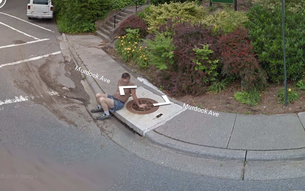
This is the head, Hucka D. The man, John Lynndon as we’ve come to call him, puts his hand in the middle of the sewer top to indicate the circle. This is point A on the map above, 0.32 miles from the Hart. The radius of the [Ashville Circle] in other words, is 0.32 miles. Cherry Avenue, the spinal diameter of the circle, also tilts from true north at about a 32 degree angle. Worth noting.

Hucka D.:

Indeed.

bb:

Do you think John is a homeless person?

Hucka D.:

Nope.

bb:

Do you think the hand indicates more than it seems?

Hucka D.:

Yup.

bb:

Clock[ hand]? [no answer]

https://bakerbloch.wordpress.com/2014/12/17/norwegian-wood-02/

ashville950

B.

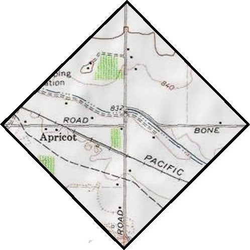
Hucka D. has gone back to bed. In concocting the circle yesterday, I was aided by the fact that several more intersections apart from those involving Cherry Avenue seem to be highlighted, including this one to the west. The intersection appears to be on the outer edge of a neighborhood we’ve dubbed Apricot-Bone. Not sure if that name will stick, however. The east-west road involved here is Banana Street again, famous for the Ingleboort and Flaarph invested house next to Linden Creek. That particular house lies more toward the E, or center, of the A’ville Circle, with Banana Street peeling off (sorry) from Cherry Avenue near there as well.

In visiting the intersection via Google Earth Street View, I was very surprised to find something more unusual going on. The conjunction of Banana Street and the side road we’ll call Cone was calm itself.
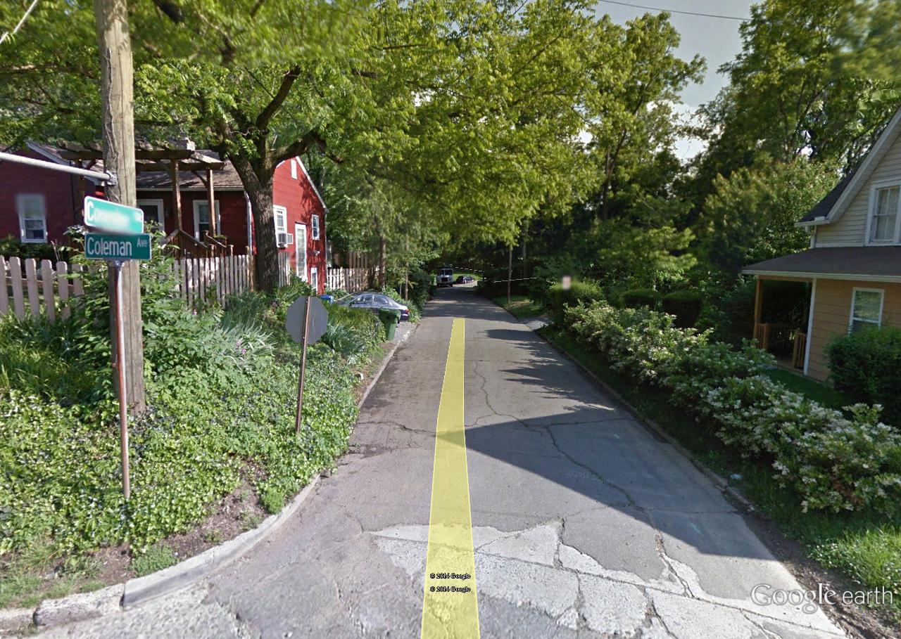
ashville951

But one Street View camera shot down Cone manifests a figure sitting in the middle of the road, which turns out to be a teenager.
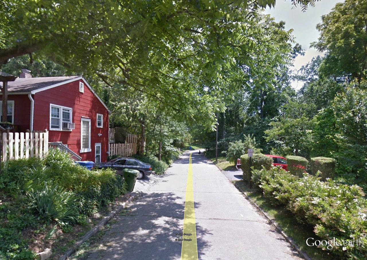
ashville952

The girl appears to see or hear the Google Earth car approaching, and moves out of the way. We get a good look at her…

ashville953

… and also glimpse the person sitting on the front stairs of a home across the road she is interacting with in some fashion. Wish Hucka D. was still around to possibly tell us more about the story. Ohl well.

ashville954

—–

“It’s not Cone. It’s *Bone*. Now leave me alone so I can get some shuteye before my big meeting next year!”

—–

So Hucka D. says the side street is named Bone, hence the latter part of the neighborhood appellation Apricot-Bone. Makes sense. Or maybe it’s Pineapple. Better keep that to myself. But then there’s this: Fred Cone from Pine Apple, Alabama, as talked about by comedian Jerry Clower on his 1974 Country Ham album.

Also here:

http://www.jsonline.com/sports/packers/fred-cone-was-the-leading-scorer-during-lean-years-b9988029z1-222292051.html

“I didn’t play high school football because we didn’t have enough kids to field a team,” he said.

C.

This intersection is near the south end of Cherry Avenue…

https://bakerbloch.wordpress.com/2014/12/11/found-art-event-02/

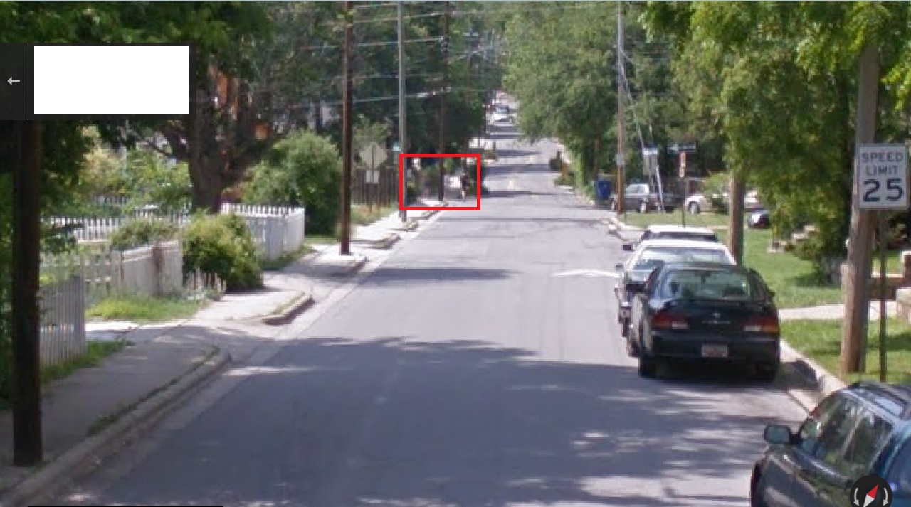
… first highlighted here. The two sets of walkers are shoulder to shoulder at this intersection of Cherry and [insert: Apricot] when we enter the former in Street View from the south.
ashville300

[Apricot]-Cherry intersection. Pinball machine traffic islands dead ahead.

ashville957

D.

Also helping delineate the Asheville Circle is this intersection to the east, involving the oddly coined Hartichoke and a larger artery named Berry Avenue, running parallel to Cherry appropriately enough.

No, I’ve woken up Hucka D. again in my stupidity and he’s indicated that Hartichoke is actually named Salad. He says not to bother him now until February. So I suppose — have to be careful here — that Salad is named after Salad Bar Jack, the famous Mmmmmm actor. I hear Hucka D.’s little hard feet hitting the floor next to the bed so I suppose I’m wrong again. “What’s that Hucka D.?” I shout toward the bedroom as he roars his disaproval again. Then I hear the window shatter and he’s gone — flown away to a better resting place, I suppose. So with him gone I’m going to leave it that Salad Place was named after Salad Bar Jack.

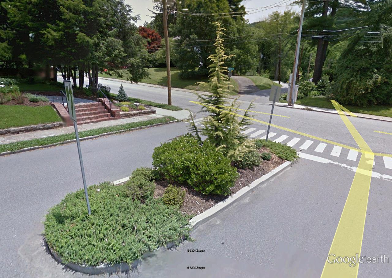
But anyway… there’s an island present at the meeting of Salad and Berry. Not sure what it means yet, if anything. But it probably does.
ashville956

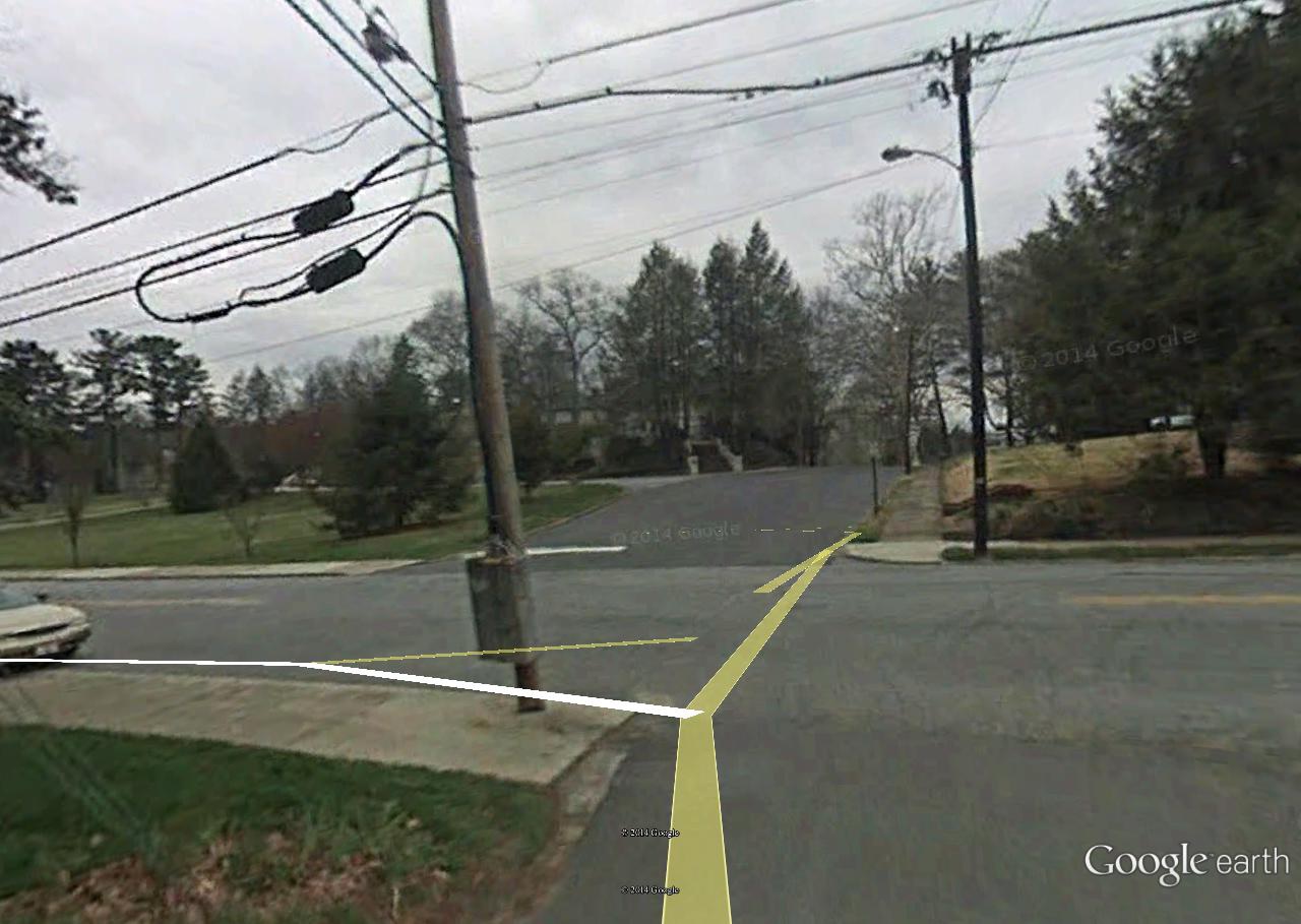
Since the traffic island isn’t present in the below Street View snapshot from 2008 and is in the 2012 snapshot above, we can deduce it was created between 2008 and 2012, obviously.
ashville955

E.

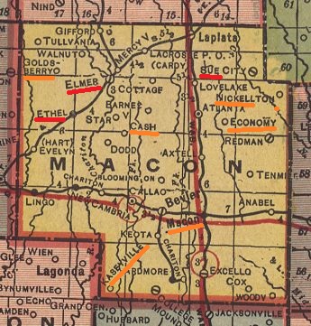
This point marks the Hart or center of our circle, corresponding with the meeting of Salad and Cherry this time. This is no mere Thomas Benton we’re talking about here.

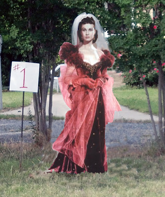
evelyn01

macon02

winona1898

My uneducated guess is that this is Salad Bar Jack’s retirement home in Ashville, bought with hard earned film royalty money. His “place” as it were.

IMG_0056smaller

Could be wrong of course.

3 Comments

Filed under Middletown, Minnesota, Missouri

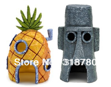
Pineapple + Island

pineappleisland02
easy as 123

Last_of_El_Nido_Manila_Xmas_in_Puerto_Galera_and_early_Bangkok_118

http://www.aliexpress.com/pineapple-island_reviews.html

2-Pcs-SpongeBob-font-b-Pineapple-b-font-House-Squidward-Easter-font-b-Island-b-font

2-Pcs-SpongeBob-font-b-Pineapple-b-font-House-Squidward-Easter-font-b-Island-b-fontb

Free-Shipping-2-Pcs-SpongeBob-font-b-Pineapple-b-font-House-Squidward-Easter-font-b-Island

New-2PC-SET-SpongeBob-font-b-Pineapple-b-font-House-Squidward-Easter-font-b-Island-bd

See below for similar flags (!).

Leave a comment

December 20, 2014 · 1:26 pm

Basketballheads

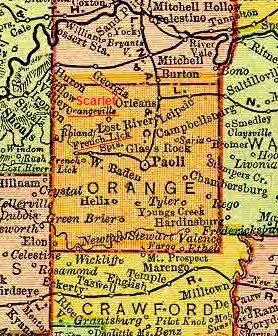
orangecounty01

GNIRPS:

When you get a Scarlet in Orange County next to Georgia and Mitchell, you think of O’hara. Not the airport. Don’t say I don’t know nothing about birthing no map synchs!

bb:

I won’t GNIRPS. And thank you again for your contributions to the Frank and Herman, Einstein! blog.

GNIRPS:

Glad to be of service.

https://bakerbloch.wordpress.com/2014/01/20/graysonsadler-02/

roxscar2

—–

Orangeville points out Orange County, Indiana home of basketballhead legend Larry Bird. Scarlet in northwest corner of same county. Near Scarlet, WV is Bias, like Lenny Bias. Larry Bird and Lenny Bias: twins. Orange basketballhead twins, highlighted in scarlet. Third Scarlet (GA) near Seals(ton). This is, once again, the Scarlet Triangle.

scarlet01

Georgia was also Larry’s mother’s given name.

seals01

Sealston here before:

https://bakerbloch.wordpress.com/2014/07/18/olive/

olivevirginia02

1 Comment

Filed under Georgia, Indiana, MAPS, Virginia, West Virginia

Monkey See (Etc.)

GNIRPS:

Yes, we have no Bananas, but Bandana is close. Close to Monkey’s Eyebrow that is. And formerly Skillet. Have a great day!

ballardel

—–

“Thank you GNIRPS for you contribution to the F&HE! blog. Now to my information this morning. I have a very serious topic to talk about. Contact with aliens. This is something I haven’t relayed yet about Ashville, our future home. I’ve discussed, I believe (I hope) that it has been a past home as well for me, but only for about 3 years. Yes, we got tired of it then. A return to Blue Mountain, the wife and I’s college town, was inevitable. We see that of course. What we didn’t see until very recently is that we had to return and then leave. Retirement will not be sitting in one place for 10, 20, 30 years and waiting for the end. Well, unless it’s Ashville. But we also plan to go to the UK, to Wiltshire in particular. But I digress. The subject this morning is aliens. Just happens that during my Ashville stay during the early 90’s, I saw, very plainly and clearly, a *UFO* there, and of the classic *saucer* design. I saw this UFO out the back window of my apartment just north of Ashville’s large and very cool downtown district. You could see Ashville’s skyline behind the huge UFO appearing outside my window. How big was it? Well… big. Colored lights kind of flashed in a cycle around the circumference. Green and orange as I recall, maybe blue as well (?) The dish shaped object was tilted to the right. Let me see if I can dig up a comparable photo online… hold on…

It was also tilted backwards, so if it had the “traditional” turret it remained out of side on the far side I couldn’t see. Or perhaps I was looking at it frontwards. I say this because it was dark during the sighting and as I remember the UFO was darker than the surrounding trees and sky. I can’t remember any details about the saucer except for the lights and the shape. And the size! I’m not sure how a UFO of that size could appear in the small parking space behind my apartment. And an even odder thing: when I checked the next morning, I realized that the Ashville skyline was also hidden by the building I was in, so I *couldn’t* have seen the skyline that night. The skyline was *almost* visible but I’d have to be leaning impossibly far out the window that night to see it. And I didn’t have the window open.

How did I happen to be looking out this bedroom window to see the UFO? Well, I was awoken by a strong white light coming through it and illuminating the room. I immediately jumped up out of bed and went to see what the source was. I guessed “UFO” as soon as my brain was jumpstarted.

There’s more to the story, including a movie we viewed just before the wife left that night dealing with, yeah, aliens (this was shortly before we got married, and she was living in a different apartment, more out in the country). I might have doubted the sighting more except it had happened before. The wife and I both saw a UFO plain as day while driving in southern Virginia in 1985. That’s another story in and of itself. But the UFO then wasn’t the classic saucer shape. It appeared more like The Enterprise vessel of Star Trek. The Ashville UFO was a simple disk from my perspective. A very dark disk with flashing lights around the edges.

Let’s return to the tiny community of Saucer, Alabama, then, on Pineapple Highway which leads to Pine Apple in the neighboring county to the west. Could *that* Saucer* relate to *Ashville’s* saucer, since the same town, during its continued mystification process, has attracted so many other fruit related names?

I’m very tempted to call one of Ashville’s as yet un-mystified neighborhoods Pineapple. A logical choice would be the neighborhood where I saw the UFO in the early 90’s. The apartment I was staying in lies only a couple of city blocks south of the now central Cherry-Lime, a fully mystified name. I’m also thinking that there was a town within the town, perhaps a toy avatar town or other type of “alien” avatar, existing just north of the mouth of Linden Creek, and on land now called either Read Park or Read Creek Park or Earl Weaver Park that’s the northern half of a determined two-part Google Maps Street View art event. I’m thinking the name of this community might be Orchard or Orchard City, like the conglomerate town in Colorado we’ve briefly touched upon before made up of Austin, Cory, and Eckert moving south to north. A(B)C(D)E, then. The first letter (of four) of TILE (“I”).

There was no noise that I recall.

2-18-12-cmi-8446-flying-saucer-1
saucer

Leave a comment

Filed under Kentucky, MAPS, Middletown

Norwegian Wood 03

Another Frank and Herman Einstein post mentioning a different Norwegian, this time a ridge in Idaho.

https://bakerbloch.wordpress.com/2012/12/27/i-almost-always/

Notice the word Wegian is distilled from Norwegian in this post. Now, removing Wegian from Norwegian Wood gives us Norwood, which is the actual name of the neighborhood as I’ll tell you now. Switch from fantasy back to reality, then. Norwegian Wood mentioned at the bottom of that December 2012 post as well.

But Hucka D. is emphasizing that we must continue to *mystify* Ashville and its neighborhoods, instead of *de*mystifying. So we have Norwegian Wood, Cherry Avenue, Lime Street, and Linden Creek instead of their actual names. Well, as far as I can tell Linden Creek doesn’t actually have name, so this is a coined word for an unnamed stream in reality. And now I also have a name for the stream that it joins: Read Creek. And Earl Weaver Park may have been originally called Read Creek Park or just Read Park. The fairies or toy avatars or elves or whatever inhabits the Linden Creek area in mystified reality have preserved a bit of this original park across the road from the present park, but still on Read Creek.

I don’t think I’ve mentioned that in Earl Weaver Park we find the actual conjunction of Linden and Read streams. I viewed the conjunction in person several weeks back, and found the two streams almost equal in size at that place. Nevertheless, the Linden name is absorbed into the Read name at that juncture, terminating the former. You cannot see the stream confluence in Street View, and I didn’t take a picture of it while there. I’ll rectify that soon enough.

ashville762
Bit of Read Park preserved by the Linden aliens.

ashville760
Across the road: what appears to be one of the aliens resting atop a car, Linden Creek just behind.

ashville761
Nearby bamboo grove. We know the wee people love river cane!

In Read Park, when it is restored to its original name, we will find a monument to TILE starting with “I”.

snapshot1109_014

—–

Hucka D.:

We know Norway is North, referring to Nordic aliens, seen as superior in most eyes to the Southern ones, sometimes called Greys or Reptilians. This is oversimplification pure and simple. The Nordics are more *us* — or you I should say, baker b. The Reptilians are more *them*. Can you trust Greys? Can you trust anyone? Is a human being from the South during Civil War times necessarily evil because he doesn’t understand the human tragedy of slavery? Do they have a Hart?

norway01

Delta20b
Orchard City: A(B)C(D)E. READ just below. One of two other US Read’s above Murdock in Utah.

http://www.orchardcityco.org/index.aspx?nid=26

Orchard City, the second largest municipality in Delta County, is home to 3,100 residents and is the largest municipality in terms of square miles in Delta County.

Despite its size, Orchard City is primarily recognized by the names of three smaller and older areas within its boundaries: Austin, Eckert and Cory.

They all had separate beginnings, but somehow through a unique course of events came together. The following is a condensed history of how Orchard City came to be a town of three communities.

Three Communities Grow

The names Austin, Eckert and Cory have existed since the turn of the century. In the 1900’s, the entire area, including Cedaredge to the north, was solid with orchards of peaches, apricots, cherries, and apples. The area was gorgeous.

500x_barmagnet_500x332-69k
Cherry Avenue is a Magnet?

apricotbone01
Apricot-Bone is probably also the name of a mystified Ashville neighborhood.

A-fruit-bowl-007
It’s definitely a fruit bowl situation.

Leave a comment

Filed under Colorado, Iowa, MAPS, Middletown, Nebraska

What we know 01

http://www.livingplaces.com/NC/Buncombe_County/Asheville_City/Norwood_Park_Historic_District.html

While not fully documented, long-time residents note that there are two houses in the Nor[wegian W]ood Park Historic District that pre-date the rest of the neighborhood. These are 39… (ca.1910) and 104… (ca.1900). Both of these were farmhouses on the land that later developed into Nor[wegian W]ood Park. The land which eventually became part of [Earl Weaver] Park, on the west side of [Cherry Avenue], was originally a field associated with 39…

Turns out this Earl Weaver Park associated with House 39 of the Norwegian Wood neighborhood of A-ville is perhaps part of a *second* Google Maps art event of Cherry Avenue, which creates its western boundary. This involves [traffic] islands again. But let’s return to the above article for a bit more information. We’ll get back to the 39 residence.

Nor[wegian W]ood Park was part of the “suburb beautiful” movement taking place all over the country. This movement consisted of a design philosophy which included a curvilinear system of street design that paid close attention to the natural topography and incorporated within its boundaries amenities such as large lots, sidewalks, tree-lined streets, open spaces, and elaborate high-style houses following the latest architectural trends of the day.

This first layout included Virginia Avenue (later renamed Nor[wegian W]ood Avenue); S. Woodward Avenue; Woodward Avenue; Midway Drive; and Lynndon Road (later [Cherry Avenue]) noted on the plat.

So this seems interesting: the original name of Cherry Avenue is Lynndon Road. But this is perhaps a falsity in our closed world of the Frank and Herman Einstein! blog. It brings to mind John *Lennon* who penned the song “Norwegian Wood” in 1965 that the neighborhood was obviously *not* named after, being platted a half century earlier. First, does Lynndon actually translate to Lennon? And then does the Norwegian Wood neighborhood lend its name to the song instead?

It’s also important to note that a British lime tree is called a linden tree, but unrelated to the lime fruit. I think Lynndon comes from Linden, and then this translates to the Lime Street running parrallel to what was then Lynndon Street (and what is now Cherry Avenue). What I’m getting at is that Lynndon and Lime street names here have a common origin in Linden, and this is probably related to Lennon via Norwegian Wood. So what is the time order? Lynndon Street predated the Norwegian Wood neighborhood or development. Lime Street as well. But Lynndon Street leads directly *to* Norwegian Wood, passing by Earl Weaver Park as it does. And the above article mentions that Earl Weaver Park was once a field associated with House 39 of what would soon become [the center of?] the Norwegian Wood development.

So here’s what’s happening, I think. *Linden* is the name of the *stream* running precisely between what is now Cherry Avenue and Lime Street. Cherry Avenue use to be called Lynndon Street, so the stream gave that street its name, I feel. The Linden stream also gave Lime Street its name. It might have come from [linden or lime] trees bordering the creek, and also perhaps named by someone of British descent (?). Anyway, the Lime Street name may have been coined after parallel Lynndon Street, with the latter name then changed to Cherry Street or Cherry Avenue, perhaps part of a fruit naming scheme.

In Pine Apple, Alabama, we just so happen to have a Cherry Street coupled with a Banana Street, as we’ve already reviewed in several previous blog posts here. Following Highway 10 out of Pine Apple to the east, its name changes to Pineapple Highway in the next county over (Butler) where it passes through a hamlet named Saucer that we’ve also mentioned on this blog in reference to the Forest Home Circle.

https://bakerbloch.wordpress.com/2013/02/06/more-alien-information/

But to my map pictures created today. In the first, I attempt to illuminate the fact that Saucer and Fake Herbert are equidistant from Forest Home, or a distance of 2.8 miles. Fake Herbert is discussed in this earlier post a bit: when you look up Herbert AL in the GNIS database you are directed here instead of the actual location of Herbert in this state, which lies about 28 miles south in neighboring Conecuh County.

foresthome01

Interesting as well that two *same named* roads become linked within this Alabama circle (Cardinal), just like we have Lynndon and Lime street names originating in a common Linden stream running parallel to and between both, hypothetically.

But certainly a key word here is Saucer, and on the Pineapple Highway. Note that this highway is spelled exactly like the tropical fruit, and not with two words like the obvious namesake town of Pine Apple. It has become aligned with this fruit related complex of names, whatever that is. And I think it actually originates from Saucer, but I’ll have to save that for a part 2.

I’ll also get to the second proposed Google Maps art event involving Cherry Avenue asap.

Leave a comment

Filed under Alabama, MAPS, Middletown

Just to remind…

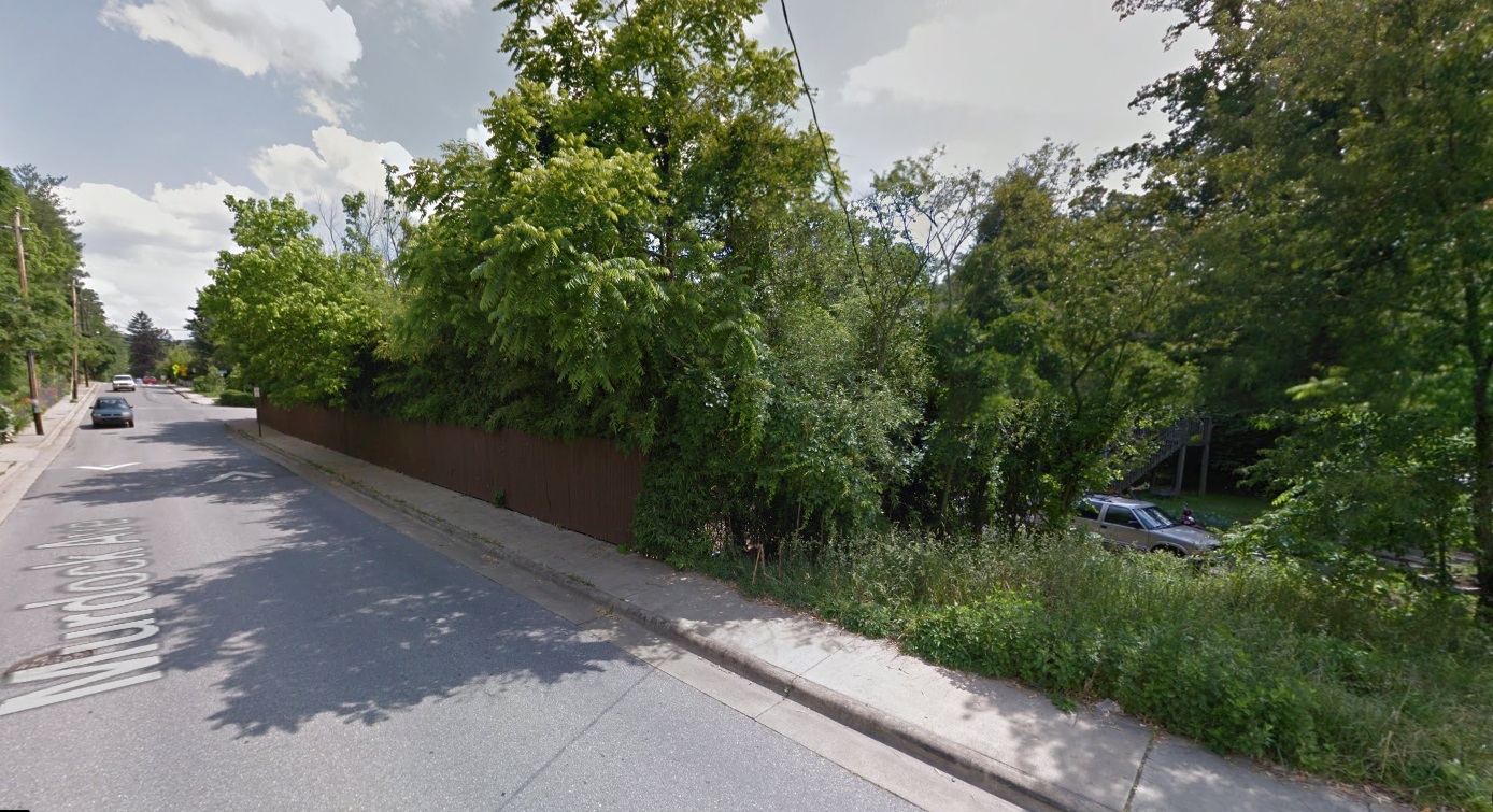
On the *other* side (north terminus) of Cherry Avenue we have this man with his hand in the middle of a sewer top. Is he a guardian of the underworld, perhaps the one directly beneath the gray surface of Cherry Street and its numerous islands?

murdock01
He must know about the 2 sets of twins from the other side of his 3/4th mile long avenue. He must somehow be in control of the islands. Many Islands.

—–

“What are the names of the fairies off Cherry Avenue, infesting that creek or brook?”

Hucka D.:

The Chill’n’s.

bb:

Cool. Er, ha.

Hucka D.:

Brrr.

bb:

What an odd thing for that woman to do. Reminded me of my sister.

Hucka D.:

Pineapple. Island. Yes.

http://en.wikipedia.org/wiki/Lanai

Lānaʻi (/ləˈnaɪ/; Hawaiian: [laːˈnɐʔi] or [naːˈnɐʔi]) is the sixth-largest of the Hawaiian Islands and the smallest publicly accessible inhabited island in the chain.[1] It is also known as Pineapple Island because of its past as an island-wide pineapple plantation.

In 1922, James Dole, the president of Hawaiian Pineapple Company (later renamed Dole Food Company), bought the island and developed a large portion of it into the world’s largest pineapple plantation.

—–

Pineapple, Alabama has already been mentioned in this blog. The tiny town has a Banana and Cherry Street. Does it give further clues? Most likely. Perhaps the whole Cherry-Lime area of Ashville is actually called Pineapple. Or was (or will be).

And in reading the above link concerning Pineapple, see that I’ve already mentioned Cherry and Banana Street in this, and even provided a picture.

herberttowns02

https://bakerbloch.wordpress.com/2013/03/11/latona-interpretationsassociations/

bb:

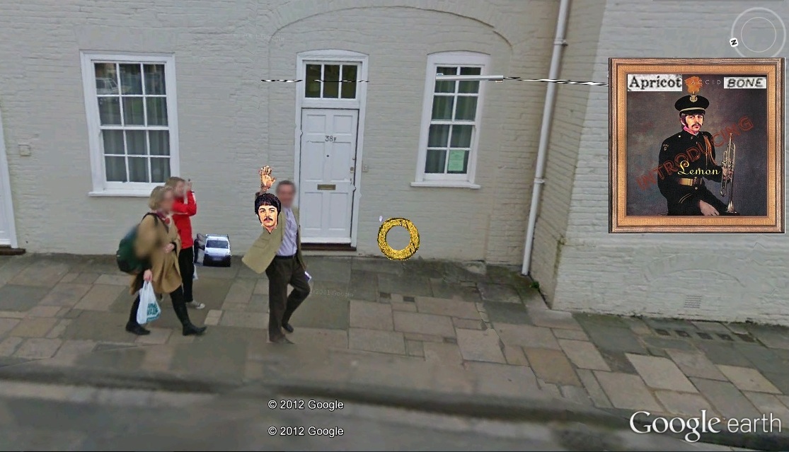
I’m still uncertain about the relationship between Apricot Bone and Sgt. Pepper. Is Apricot Bone a pretend band as well? I think you said before that it’s a Kinks variant band, like they also could have created in 1967. Instead they created the Village Green Preservation Society. “We are the Village Green Preservation Society”.

Hucka D.:

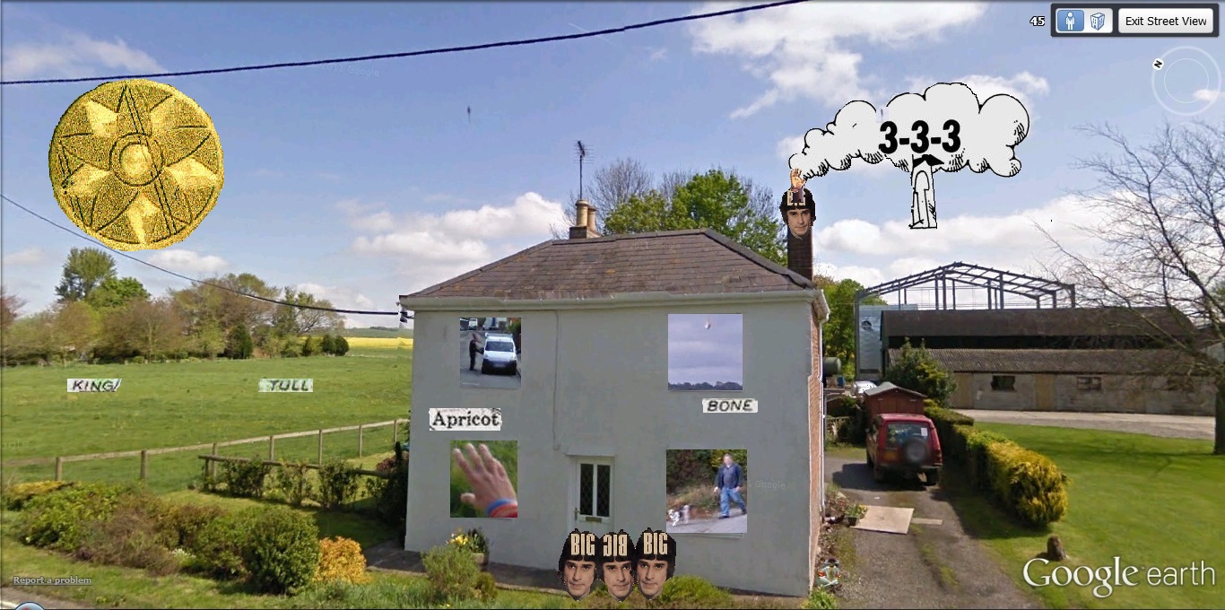
Apricot Bone is something else. Related to Pine Apple, Alabama and its Banana and Cherry Streets but more. Apricot is King Tull… 333. A tropic fruit.

Greetings from Pine Apple, Alabama

The Goat Whisperer
Greetings from Pine Apple, Alabama

The Goat Whisperer 4y
And this is across the street.
I’m not sure I understand completely unless there’s a Rum Avenue nearby.

Banana Street

Leave a comment

Filed under Alabama, Hawaii, MAPS, Middletown

map sinking feeling 03

http://en.wikipedia.org/wiki/Cleveland_Rocks

The song was covered in 1997 by The Presidents of the United States of America as the opening theme of the television program The Drew Carey Show, a situation comedy set in Cleveland. It accompanied a lavish opening sequence in which the cast lip-synced the song while performing elaborate choreography. The band covered the entire song, but only part of it was used for the Drew Carey theme. At the beginning of the recording, Drew Carey (a native of Cleveland) can be heard saying “Hey!” and then laughing, and at the end shouting “Ohio!” to an echoing effect. The latter soundbite appears in both the theme song and the full-length version of the song, and is a direct remake of the original, which has a similar “Ohio!” soundbyte at the end. The song is a track on the album Cleveland Rocks! Music From The Drew Carey Show as well as on the band’s compilation Pure Frosting. This version is traditionally played after a home win for either the Cleveland Indians or Cleveland Cavaliers.[citation needed]

Hunter’s original version would later open a Drew Carey “mistakes” episode.

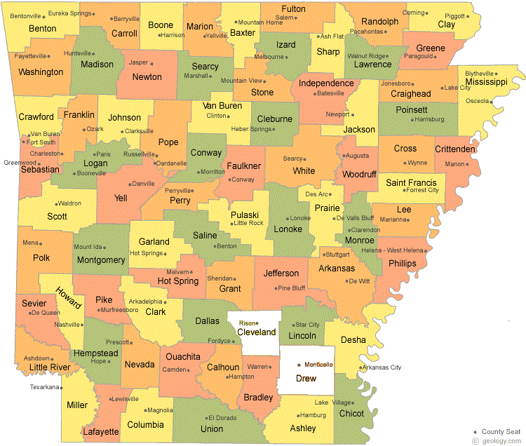
arkansas-county-map02

http://www.cleveland.com/pdq/index.ssf/2012/11/90-second-know-it-all_8_us_pre.html

As we close in on Election Day in a race that may well be decided right here in Ohio, are you aware that no fewer than eight of America’s presidents have been Ohioans themselves? The only other state that can claim that many presidents is Virginia, and Virginia and Ohio like to bicker back and forth over which one owns the nickname, “The Mother of Presidents.”

MORE TEXT SOON…

Leave a comment

Filed under Arkansas, MAPS, Ohio, Virginia

Developing 01

Snapshot5030_001

What’s not in new Collagesity (Minoa) that was in old or original Collagesity (Noru):

Noru Museum:
Lots of prims involved, and obviously not as apropos in Minoa as it was in Noru. May set up a Rubi Museum, however, like this same structure housed in, well, Rubi’s VWX Town this past winter. Rubi has a history too, just as substantial, probably, as my involvement with Noru.

Tired Falls:
Not a structure, but a missing element for sure. I hated to give up that waterfall. Can’t find a place on the new property for it. However, the focus on the new property is obviously the Rubi Forest itself. Which reminds me…

carter01

… to complement this…

ruby04

Snapshot1343_002
Lucky’s Magic Village (Old Rubi Museum, VWX Town)

Back to the survey…

Toxic Art Gallery:
I’ve chose not to rez this admittedly prim saving gallery holding 80 of the 100 collages of the Art 10×10, still my most important collage work overall, I feel. Perhaps. But Falmouth and Power Tower and now the Sam Parr State College Admin Building hold newer and perhaps more pertinent collages and it seemed time to move on. Actually, this was derezzed in Noru before I decided to move.

X Spot Gallery (top, main part):
This was not filled out in Noru, but represented a really nifty way to bridge the Kidd Tower, Power Tower, and Falmouth galleries in a low skybox. Also will be missed. Could theoretically still hold the Jeogeot Through Art and Word exhibit. But that’s more connected to Noru as well since Noru is part of the Jeogeot continent.

So what’s in new Collagesity, conversely, that wasn’t in the old Noru version?

SoSo Gallery:
Containing the Oblong series of the Art 10×10, perhaps the most important series within it and most cohesive. 20 collages in the series (out of 100 total in the Art 10×10). Nice addition to the town beyond Noru.

Home o’ Fibs:
Another structure that wasn’t in Noru but is in Minoa. Nice view from the porch into the meat of the town.

House of Truth:
Was in Minoa until a couple of days ago. May return.

So 1 more way Camp Ruby pops up in a list of pop places (through variant names):

campruby03

Mostly familiar counties there: Duplin, Dallas, Patrick.

—–

Conclusion for now:

Minoa Collagesity still needs an identity. Sam Parr State College seems stronger within (they’ve claimed the SoSo Gallery, the Kidd Tower, the Bodega Supermarket, and the lower building of the X Spot Gallery (!)), so that’s a core to build from. Sam Parr St. College, I feel, is a virtual life complement to Woodrow Wilson College in Ashville. Both border protected forests. That’s a link that can be furthered as well, probably starting with Bracket Jupiter and his proposed Spring Semester course on the continent of Corsica. Cool idea. Required reading will be the Baker Blinker Blog’s posts on the subject, collected in one work.

One possibility for a t-shirt selling on campus, then:

i_heart_corsica_tshirt-re79efc997080437c99e2abbb968d6d75_804gy_324

Charity-Tin City, NC

charity_nc

Charity-Tin Town, MO

charity_mo

Snapshot5030_004
Christmas gathering in Central Square

Leave a comment

Filed under **VIRTUAL SL, Corsica, Heterocera, MAPS, Missouri, North Carolina, Rubi

“Eye of Rye…

corsicabig10

…is close enough to Video, Greene County in this original Corsica-Pennsylvania overlap that we can latch on to the association. Eye of Rye is Video. Media, Pennsyvania may stand for Audio (missing in GNIRPS) or perhaps audio and video together to make sync. We know from old Corsica material, Bracket, that Chasm Deep represents the ear of the overall elephant[ in the room], as Eye of Rye originally stands for the eye before it is weakened as it were…

Bracket Jupiter:

… as it is… (smiles)

bb:

… and move to the more correctly placed Egg Hill sink overlapped with Centre County, Penn.

Bracket:

That’s the eye of course. Have you realized I teach at WW, starting in the Spring?
bb:

But it’s really Sam Parr State College. And you teach the political history of Second Life mainland, not the actual, real world.
Bracket:

Correctomundo!

bb:

That’s why we’re boning up!

Bracket:

Thank you once again. I enjoyed our time together as teacher and pupil. I hope I taught you well. Now you can teach me.

bb:

It’s ultimately subconscious, though.

Bracket:

Okay.

bb:

But thank you. It’s a brilliant move. We work together again at least on a subconscious level. And through us the other teacher. The one who I didn’t get to know. In-between is Green. We are in Winona County, Wisconsin[ as well], starting at the red and also blue Rollingstone covers at Winona itself… herself, and attempting to see Green again behind. 1 eye. Illuminati obviously.

—–

bb:

Media would be on the opposite side of the Pennsylvania-Corsica melding, at the place I first visited on the continent, Bracket. That could be important as well. Here’s the related link:

edge of the world

That’s the first post on Corsica I created, btw. Alpha.

—–

corsicabig02

bb;

When you flip Pennsylvania around underneath the Corsica outline, Media almost exactly replaces Video, and then you have Eye of Rye following the circle of the upper part of Delaware state itself, which Delaware County, Penn. is just above.

Bracket:

Well… tell me more about Greene County and your real life family, baker b.

bb:

Coded into this is father, sister, brother. Father is corner sync. Ned Ryerson from Groundhog Day. It’s pretty obvious.

Bracket:

Yes, that’s cool. You already told me about it in[ the briefing].

bb:

Sister as well. Sister use to own property in Nebo. That’s where that name comes from. 32 acres. And Nebo is the same as Video. Time is nearby also, like in Illinois.

—–

bb:

And of course you have Corsica as a town within Pennsylvania, just below Forest County and in the same county as Punxsutawney.

—–

Bracket:

Microcosm, yes.

Leave a comment

Filed under **VIRTUAL SL, Corsica, Heterocera, MAPS, Pennsylvania, Rubi