Category Archives: *REALITY

found art event (!) 02

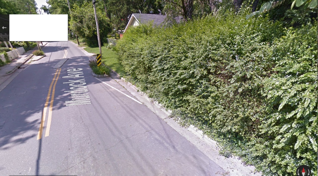
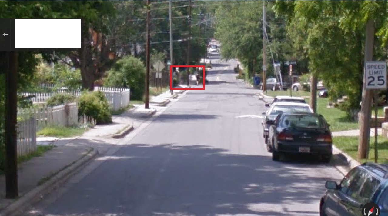
In Google Map Street View, just as you turn into Cherry Avenue from the south, you can see two pairs of people, 2 girls and then a girl and a boy, walking in opposite directions but who have *just crossed each other* in the middle of the first side street to the left as you head north. We have to zoom in to see them; they’re still about a football field and a half down Cherry Avenue from us here. Difficult to tell what they are yet…
ashville300

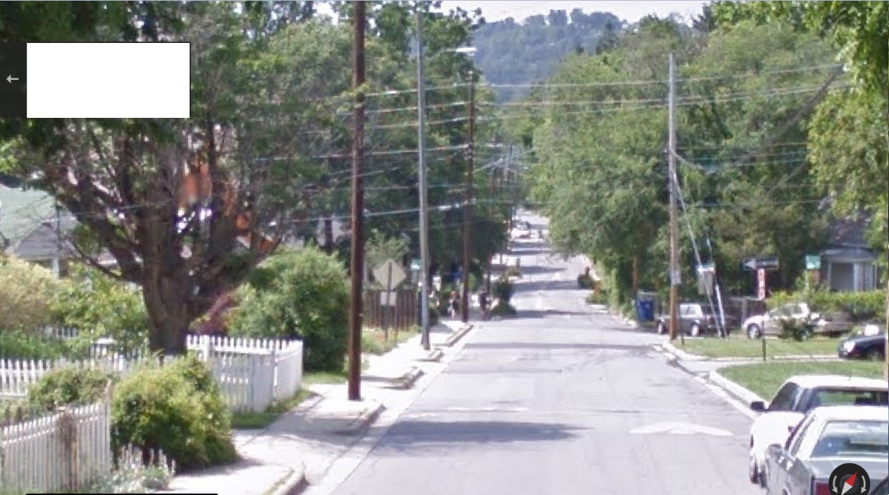
… but in moving up Cherry Avenue the pairs become more resolved.
ashville301

They step up on opposite sides of the same street at the same time.
ashville302

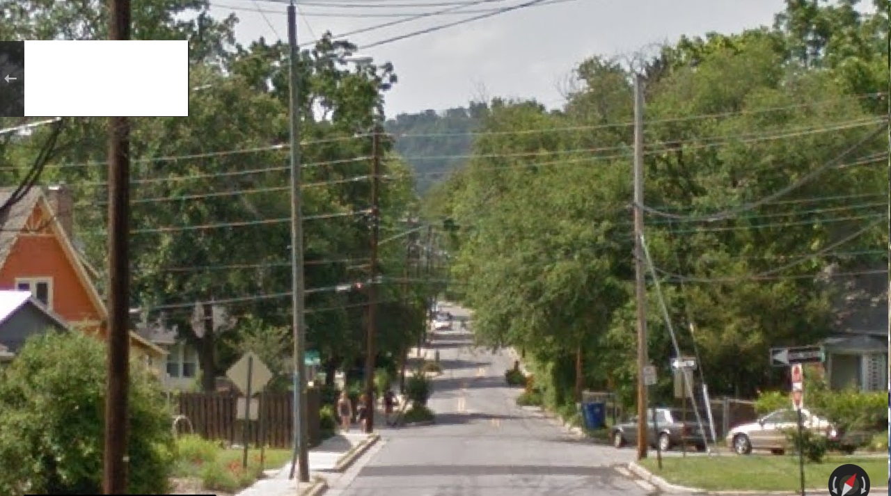
The far couple walks past the first traffic island of the road heading north. We can now see that the foreground couple are 2 girls, perhaps teenagers still. We can also perhaps make out that one of the two pair in the background is holding a basketball.
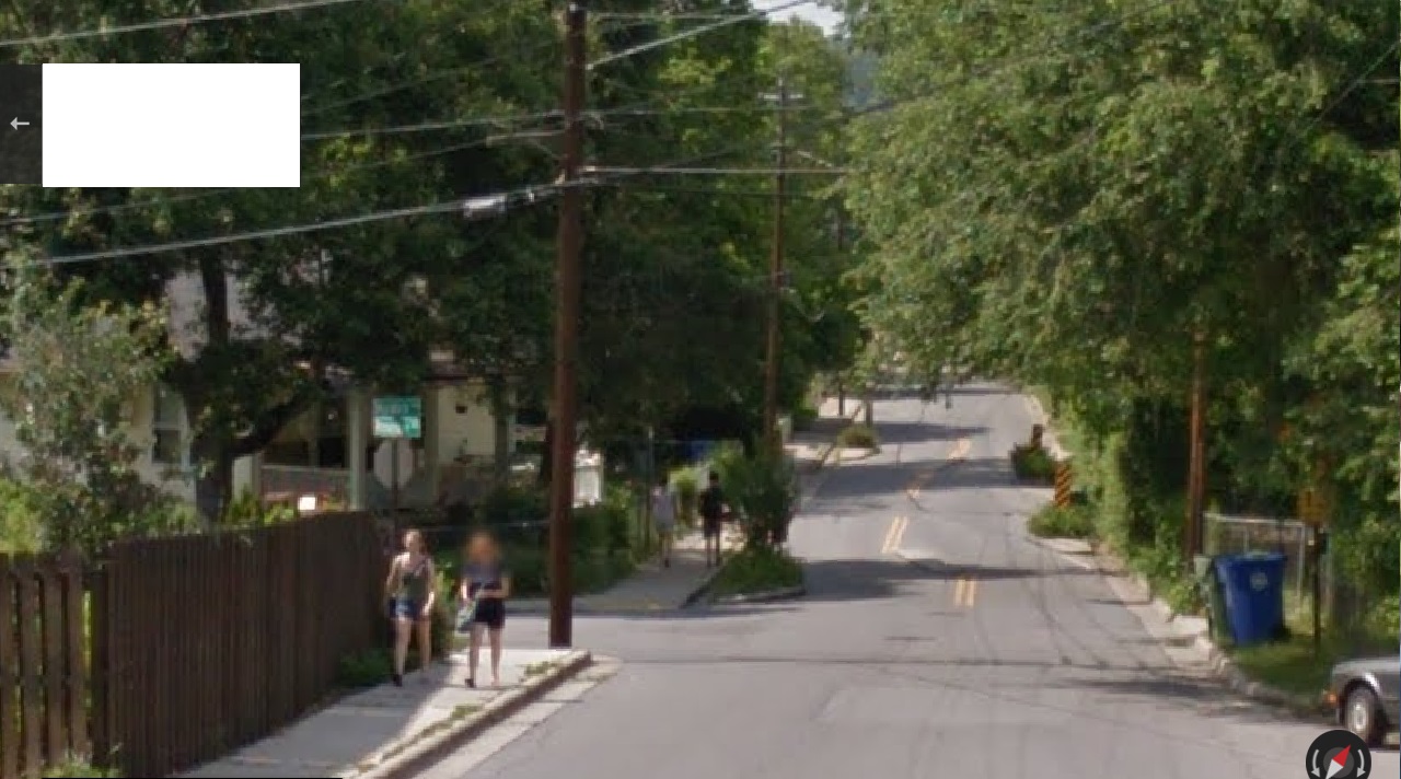
ashville303

We pull even with the 2 girls. The other couple keeps heading down the street, now just past the first traffic island.
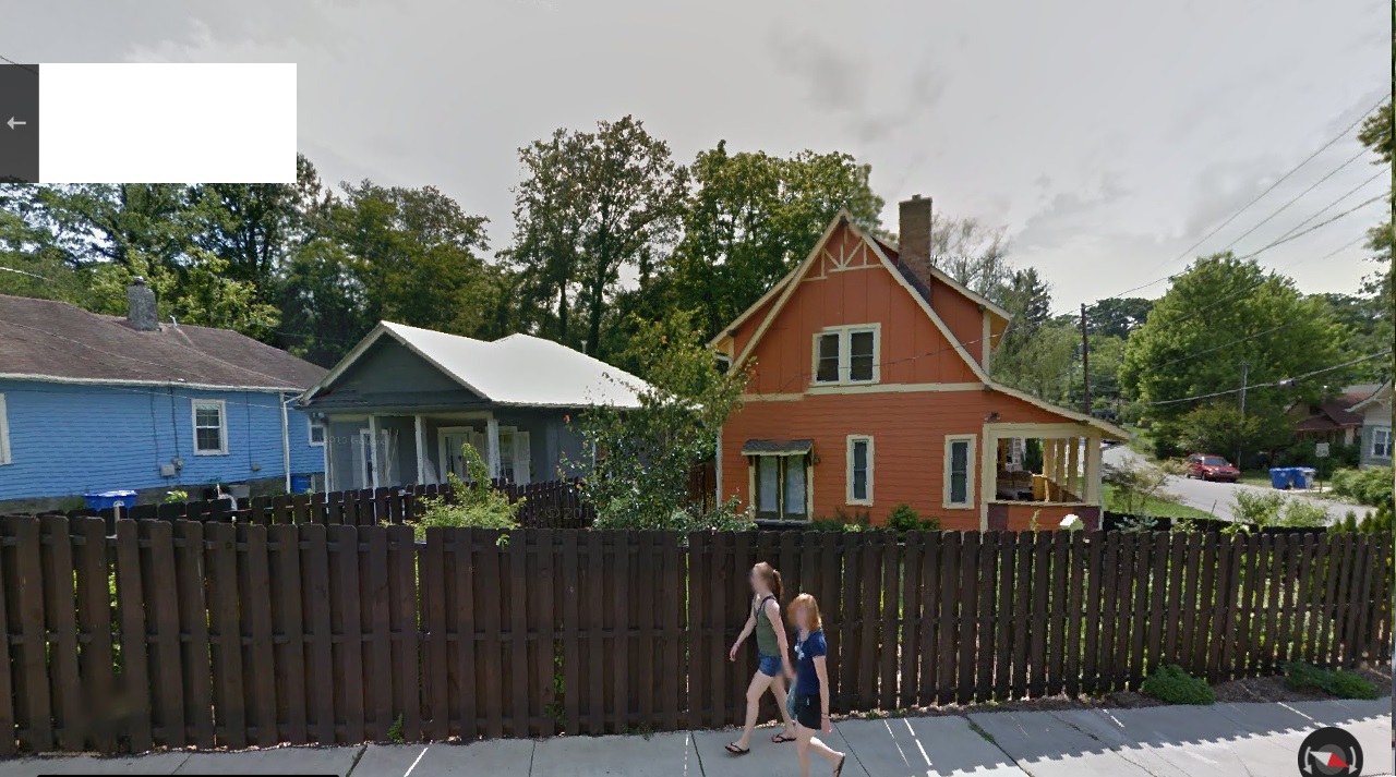
ashville304

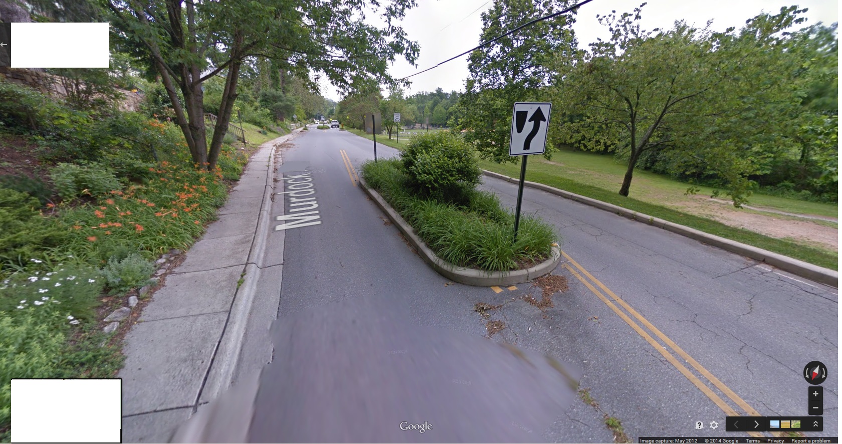
We reach the intersection with the side street where the 2 pairs crossed as we entered Cherry Avenue. The symmetrical nature of the traffic islands becomes more clear. We are also about halfway between the 2 pairs of walkers at this juncture.
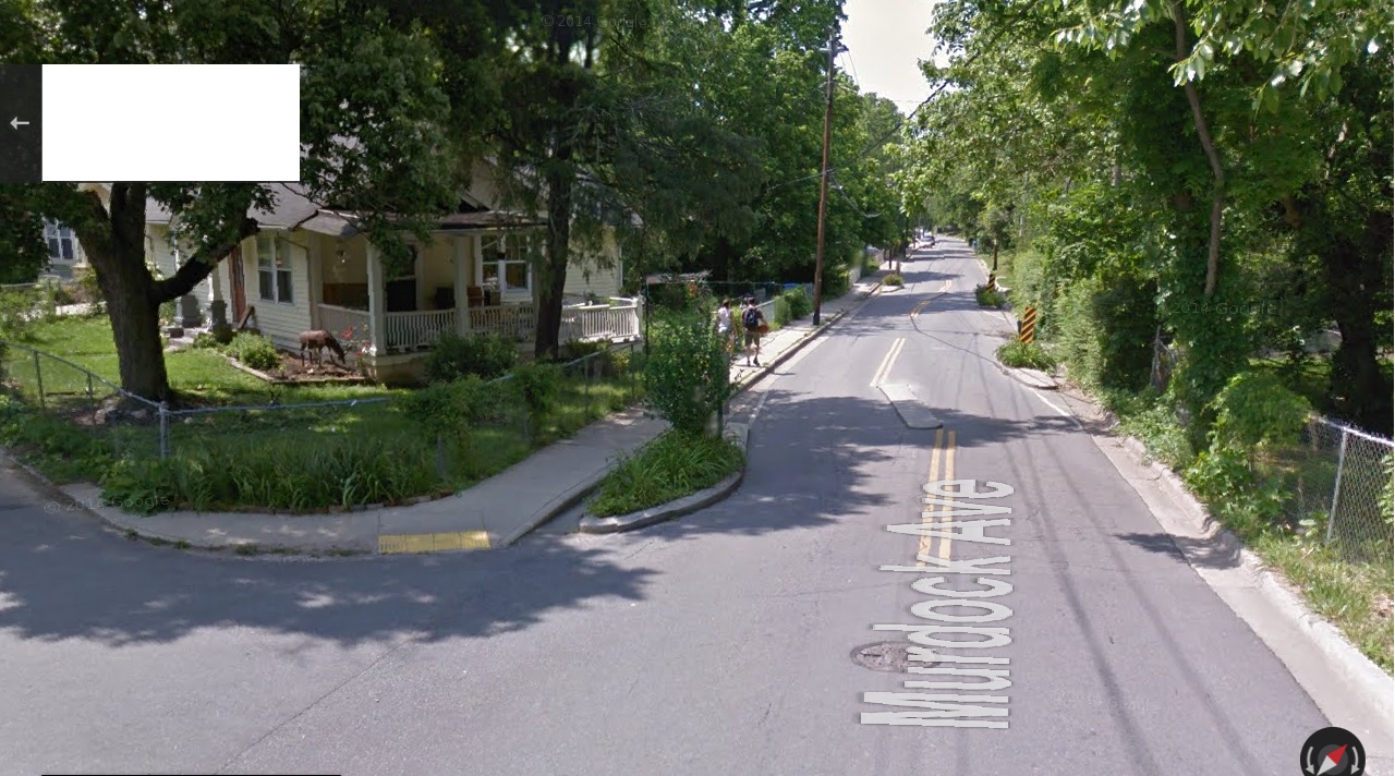
ashville305

We are almost on top of the middle part of the first set of traffic isles. We can now see that the couple still ahead of us is a man and a woman, with the man holding the orange basketball. The 2 girls continue down the street in the opposite direction. The girl with the orange hair has turned around to look at the Google Map car snapping these pictures.
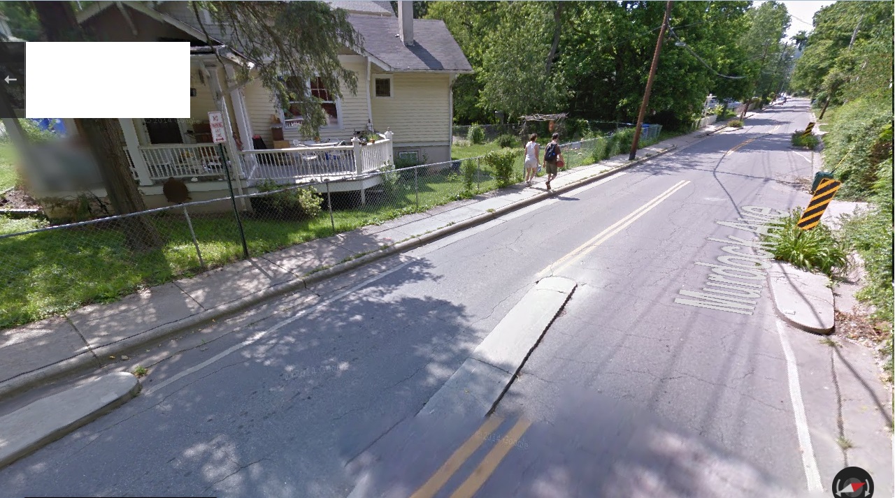
ashville306

We pull basically even with the man and woman couple, or as even as we can get in our Street View. They notice the Google car for the first time; become aware they are being photographed. They are also passing a mysteriously placed rock cairn to their left, just behind the chain link fence.
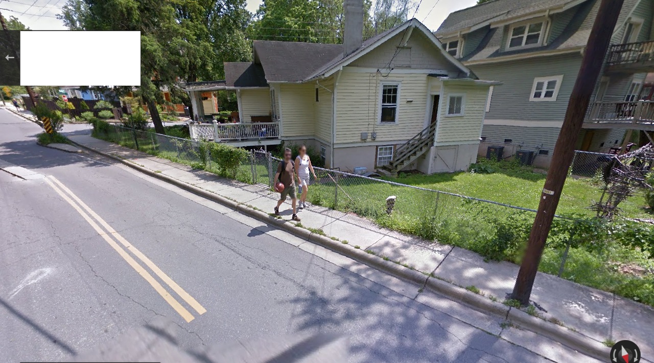
ashville307

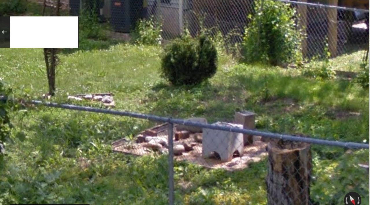
The cairn looks unbalanced, top-heavy.

ashville308

In this position, we are also as close to a midpoint between the two symmetrical sets of traffic islands in this part of the road as we can get.
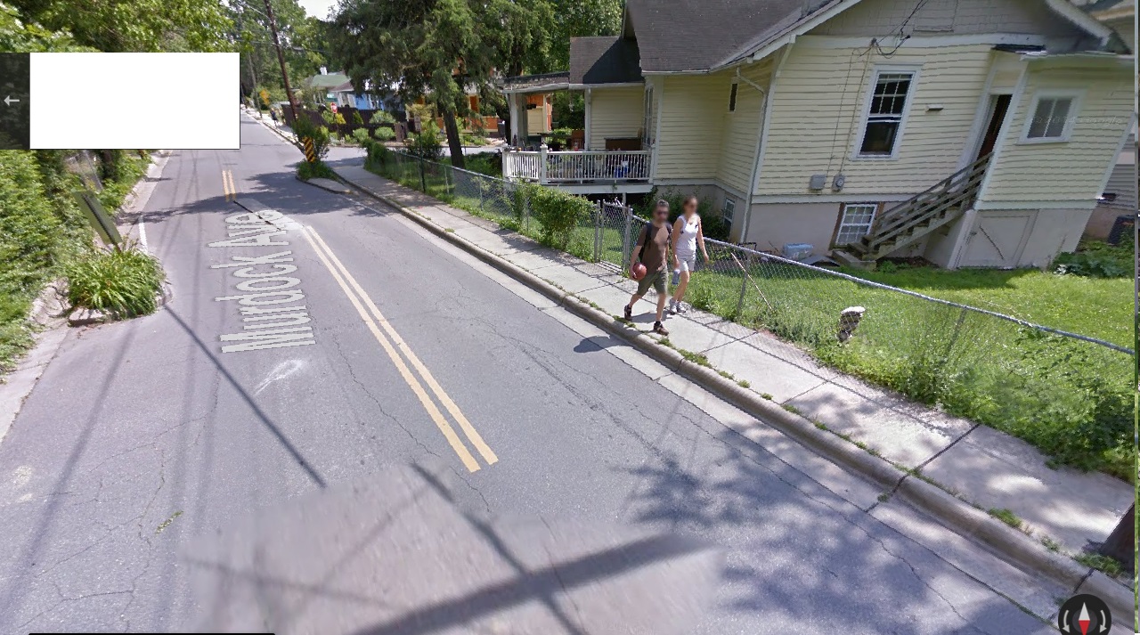
ashville309
south

ashville310
north

We are also just at this time crossing a creek that flows under the road. This is the same creek that runs by the house with the fairies parked in the front yard discussed previously. The creek (as yet unnamed) has power.

(12/17/14 update: the stream is now named Linden Creek)

ashville311

The neighborhood is called Cherry Lime after the 2 main streets. Our little Google Earth orange basketballhead figure stands atop the creek on Cherry Avenue. Cherry, Lime, and Orange together, then. From this point on northward, the creek will basically parallel Cherry Avenue, adding to its energy. The 2 actually become one at this time, most likely.

Moving one step north in Street View, we can view a type of rock village beyond the fence. This is the only place we see this clearly. It seems to make some kind of natural pairing with the rock cairn to its left here.
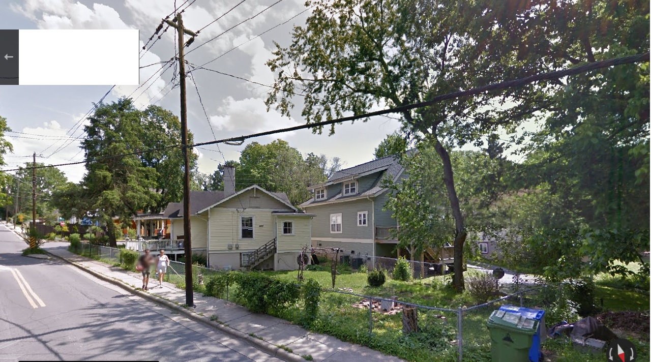
ashville312

Detail.

ashville313

Then one more step brings us directly atop the middle of the 3 far traffic islands. Interesting house in front of us here as well, with a type of Japanese torii gracing the entrance. We’ll see another torii down this street soon. You can tell by the little map that we are just beyond the creek-road conjunction mentioned before.
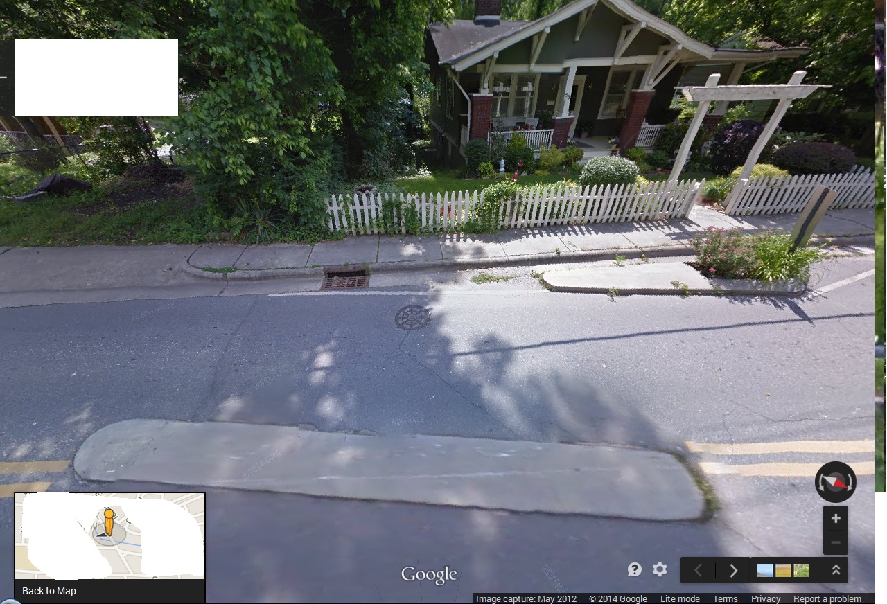
ashville314

In the other direction, the man and woman are passing directly beside the rock cairn. The 2 girls are still staring at the Google car, fixed in their places. These are still the only people we have seen on this street. Indeed, they are the only walking people that will be encountered in Street View along this 3/4th mile avenue. What are the odds that they just happen to be exactly side by side with each other as we start the journey up this street from the south terminus?

The drama then seems to fade as we move past the far traffic islands into uninterrupted street again. In the next step, the 2 girls become permanently irresolute.

ashville316

What have we just passed here? I personally believe it is the essence of a collage.

ashville317

Leave a comment

Filed under Middletown

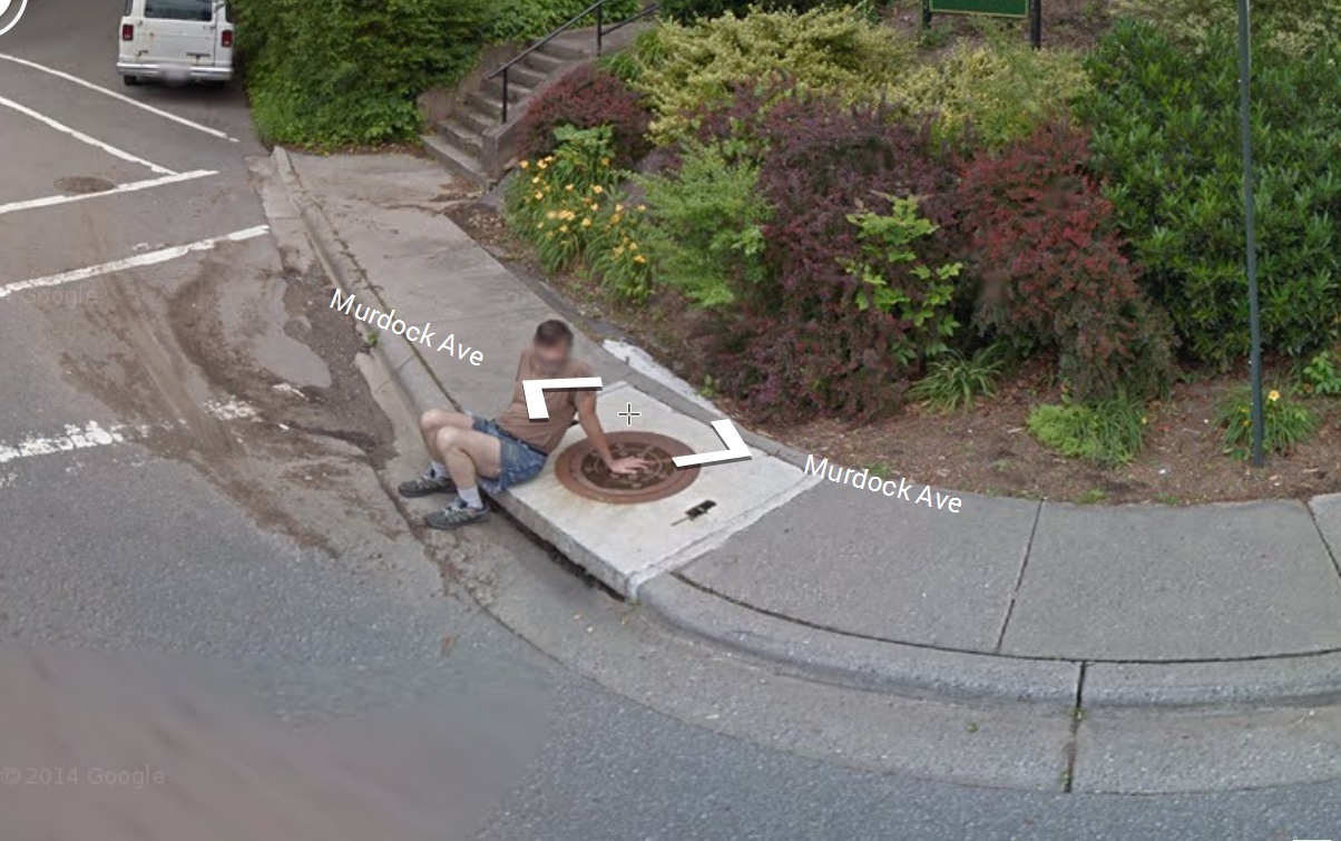
Murdoch’s Islands

http://en.wikipedia.org/wiki/Cherry_Island_%28Loch_Ness%29

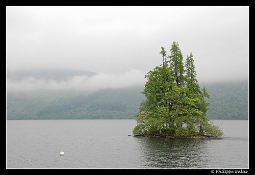
Cherry Island (Scottish Gaelic: Eilean Muireach, meaning Murdoch’s Island) is the only island in Loch Ness, Highland, Scotland, and is an example of a crannog.[1] The island is about 150 yards (140 m) from the shore near the southern end of the loch. The island was originally 160 feet (49 m) by 168 feet (51 m) across, but is now smaller as the level of the loch was raised when it became part of the Caledonian Canal.[1] The increase in the level of the loch caused a smaller natural island nearby Eilean Nan Con[2] (also known in its Anglicised form of “Dog Island”), to be totally submerged.

A castle stood on the island during the 15th century; this was constructed of stone and oak wood and was probably used as a fortified refuge. It has been suggested that Eilean Muireach may have been a hunting lodge, with Eilean Nan Con the home for the hunting dogs.[1]

4706989511_ba735fb94c

This brings to mind Wild Goose Island as the only island in St. Mary’s Lake of Glacier National Park, and pictured in the opening sequence of The Shining.

Another Murdoch’s island:

http://en.wikipedia.org/wiki/David_H._Murdock

In 1985 Murdock took over the nearly bankrupt Hawaiian firm Castle & Cooke, which owned pineapple and banana producer Dole Food Company. He developed Castle & Cooke’s real estate portfolio into residential and commercial properties and turned Dole into the world’s largest producer of fruits and vegetables.[11] Acquiring Dole privately in 2003, Murdock completed a $446 million initial public offering in October 2009 and the company traded on the New York Stock Exchange under the ticker DOLE until a private merger agreement was approved October 31, 2013.[12]

As a result of his purchase of Castle & Cooke, Murdock acquired ownership of 98% of Lana’i, the sixth largest island in Hawaii. In June 2012, Murdock sold his interest in Lana’i to Larry Ellison.[13]

Yet another Murdock’s island:

asheville303b

Leave a comment

Filed under Middletown, United Kingdom

1 and same

“You say these are aliens. I don’t think they’re aliens. I think it’s 2 humans and 2 fairies. Plain and simple — plains to see, and so forth.”

bb:

Just get rid of the alien angle.

Hucka D.:

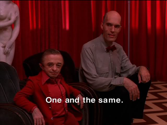
The 2 pairs are obviously related. Are they one and the same[ like the Giant and the Dwarf of Twin Peaks]?

PDVD_273

bb:

The heads of the humans and the heads of the 2 fairies are the same distance apart. Reverse one or the other and they can be directly overlapped. Must mean something.

Hucka D.:

Yes. One. Same.

bb:

So this is a place of contact.

Hucka D.:

Yes. Brrrr.

bb:

They have a sense of humor.

Hucka. D.:

Obviously (!)

bb:

About Dead Center Hill now…

Hucka D.:

Place of contact. Same. One.

bb:

Errrr.

same01

ghif

Leave a comment

Filed under Middletown

Revisiting Dead Center Hill

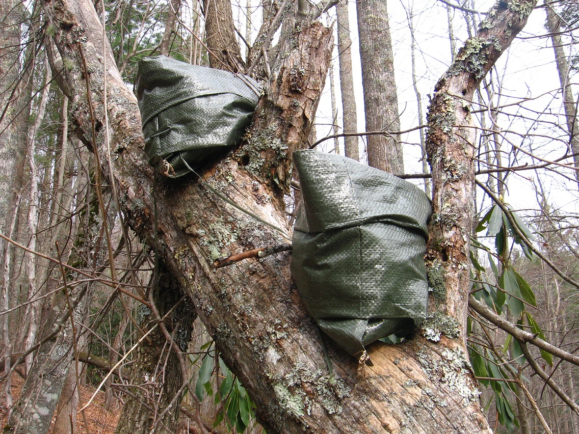
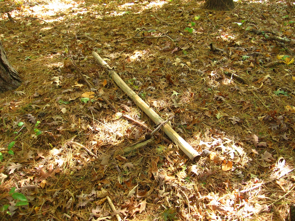
I wanted to leave a placeholder post for a description of my visit to Dead Center Hill again near Woodrow Wilson College. Unfortunately my camera batteries went dead on me during the visit. A big part of the news is that someone (some*thing*?) has been working on a small lean-to on top of the hill since my last visit. The bit of old kane found then has been employed in the construction. A piece of tarp could cover it and provide a small shelter. But *has* it been used as such? And if so, was *Warren* (again separated from Wilson) the dweller?

deadcenter01

A second bit of news is that the flat area around Arch Rock seems more meaningful now that the weeds have died off, centered around a pennisular area between two small stream flows. I though this place might be a good spot for a statue of some sort, or a rock cairn or something to mark the spot. We’ll see what develops in the future.

Another piece of good news is that I had no problem accessing Dead Center Hill, and didn’t feel like I stood out like a sore thumb and all exposed while walking next to the Wilson River after the protective rows of corn had been harvested. I think it could still be a regular destination when we finally get to Ashville in 6-9 years.

Leave a comment

Filed under Middletown

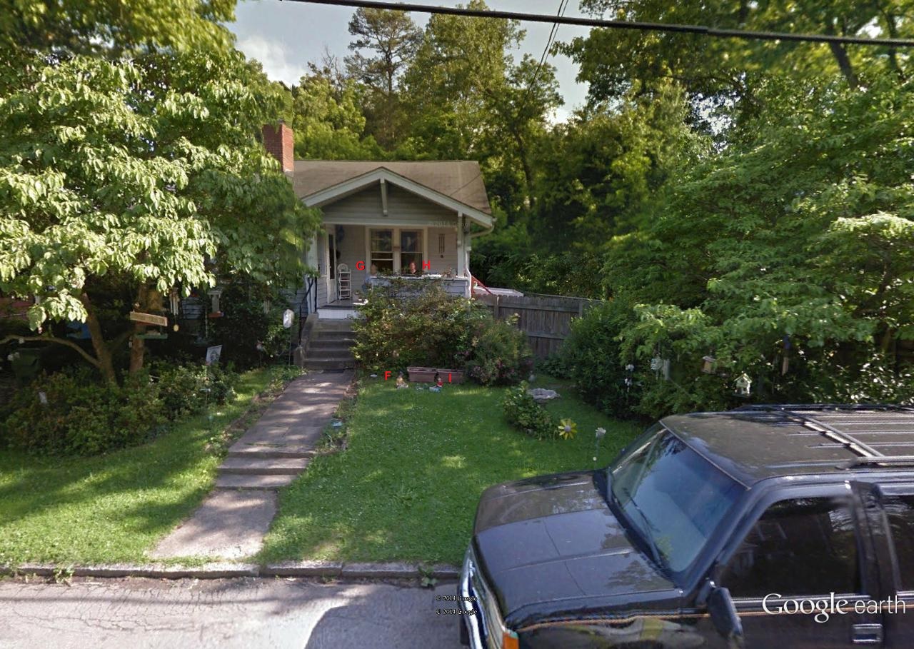
G, H, I, F

George and Harriet and Ingleboort and Flaarph.

asheville25

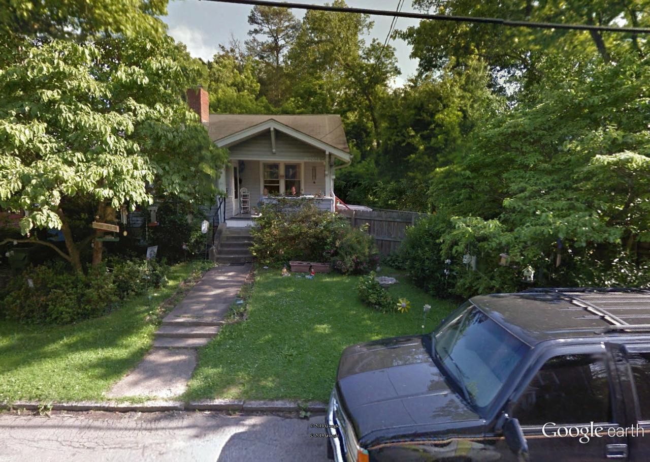
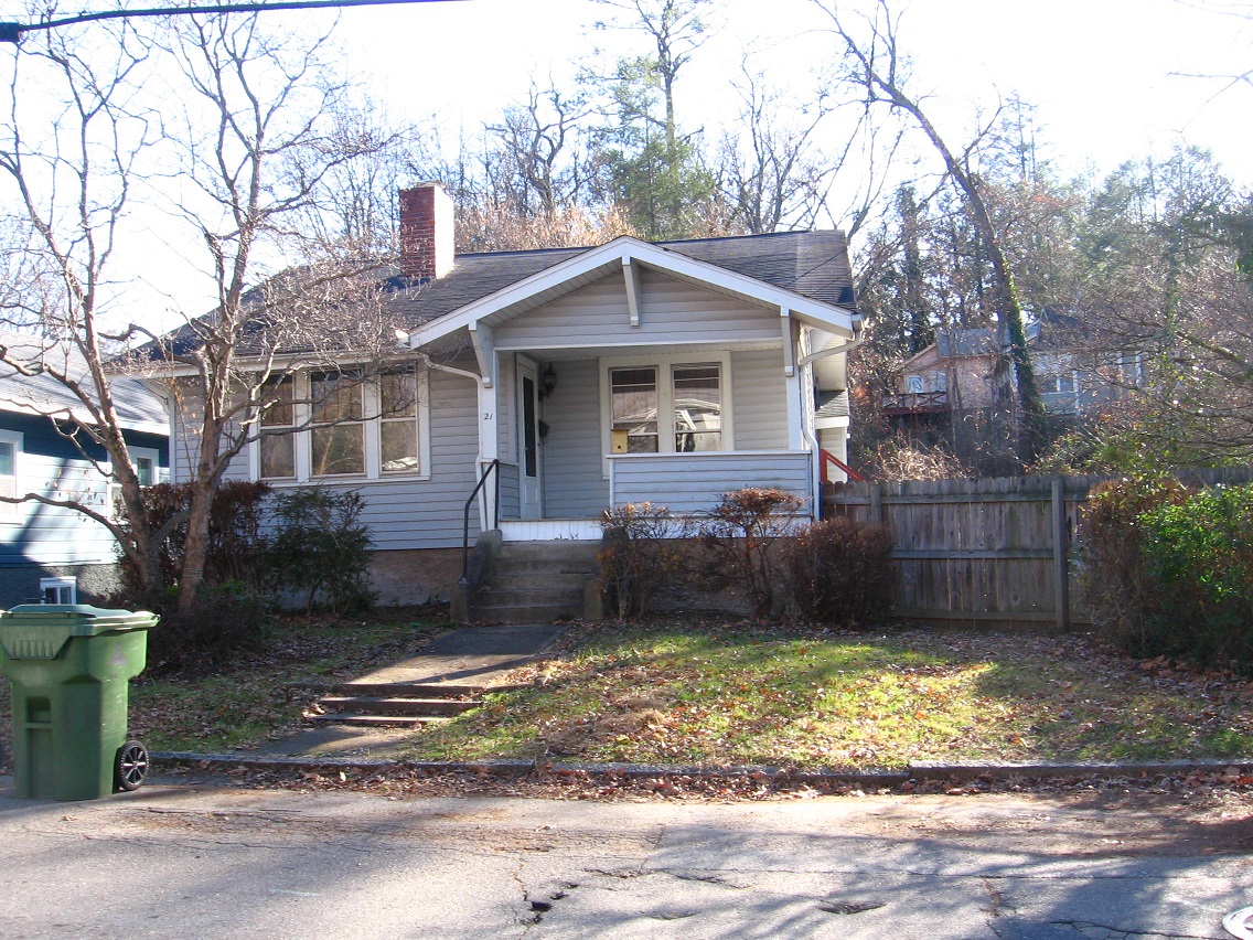
House after they left, returned to pre-contact status. Goodbye and happy star trekking G, H, I, and F!

IMG_0082smaller

Ingleboort and Flaarph detail. Happy landings!

i and f

Leave a comment

Filed under Middletown

Blue Mtn.>Ashville

2 shots from Whitehead Crossing (no comment yet)…

IMG_0063smaller

IMG_0073smaller

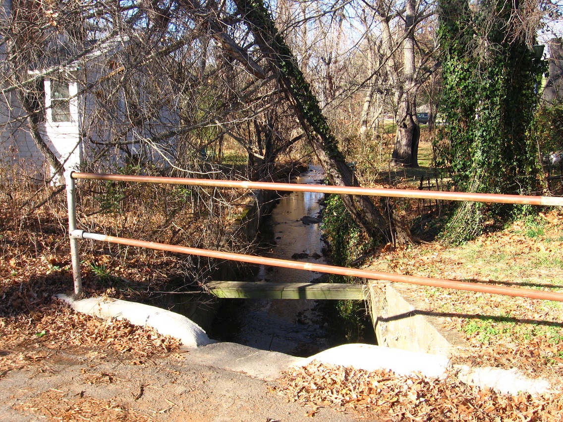
… then moving to *Ashville*. This creek is possibly fairy laden. I will not give out the exact location yet. That’s a fairy bridge if so, and it probably is.

IMG_0080smaller

Across the road we come to perhaps the former home of George and Harriet and Ingleboort and Flaarph, 4 aliens from the planet Glooton who helped the creek fairies intergrate with the local human population, perhaps. G and H assumed human form, while I and F took the form of the fairies. Interesting. We’ll get back to them soon enough.

IMG_0082smaller

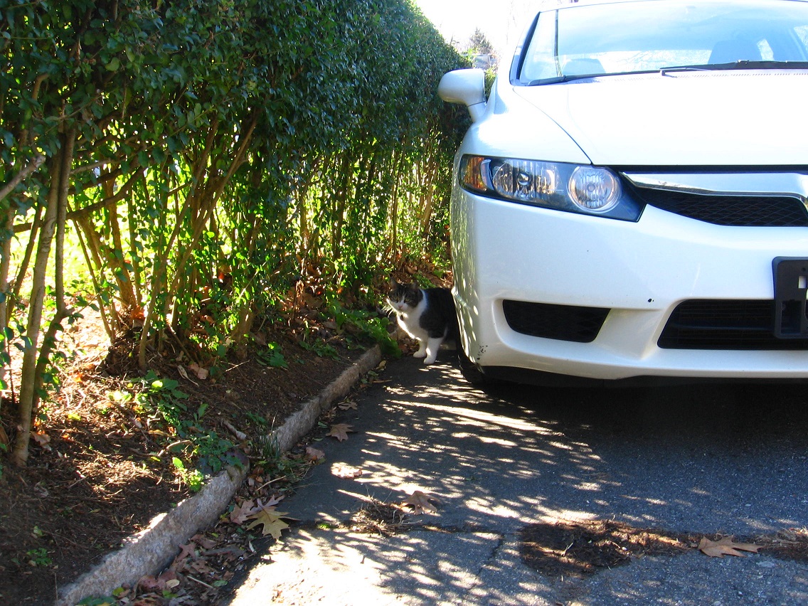
A cat on the same street who may have been trying to tell me about the fairies and how I’m on the right track. Gotta learn that universal cat language sometime I’ve heard about.

IMG_0084smaller

Old rusty bike in a tree I also spotted in a Google map streetview capture from May 2012.

IMG_0091smaller

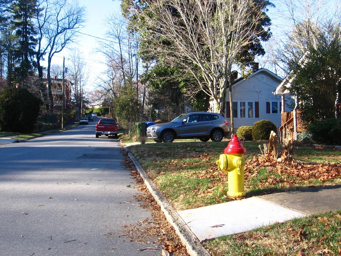
Colors of TILE 01, on a particular Ashville residential road I’ll call Lime Street.

IMG_0099smaller

Colors of TILE 02 on Lime Street.

IMG_0102smaller

Chilly Frosty w/ armless Homer Simpson in background. Lime Street again.

IMG_0105smaller

Street off Lime Street: angel.

IMG_0106smaller

1 Comment

Filed under Blue Mountain, Frank Park, Middletown, Whitehead Crossing

Murdock01

murdock01

“Mr. Murdock: Why do you contain islands?”

Leave a comment

Filed under Middletown

map sinking feeling 02

Wyoming in Iowa County in Wisconsin, a unique location because of the 3 different state names it highlights, is certainly also highlighted by this place, called “[Frank Lloyd] Wright’s architectural self portrait.”

http://en.wikipedia.org/wiki/Taliesin_%28studio%29

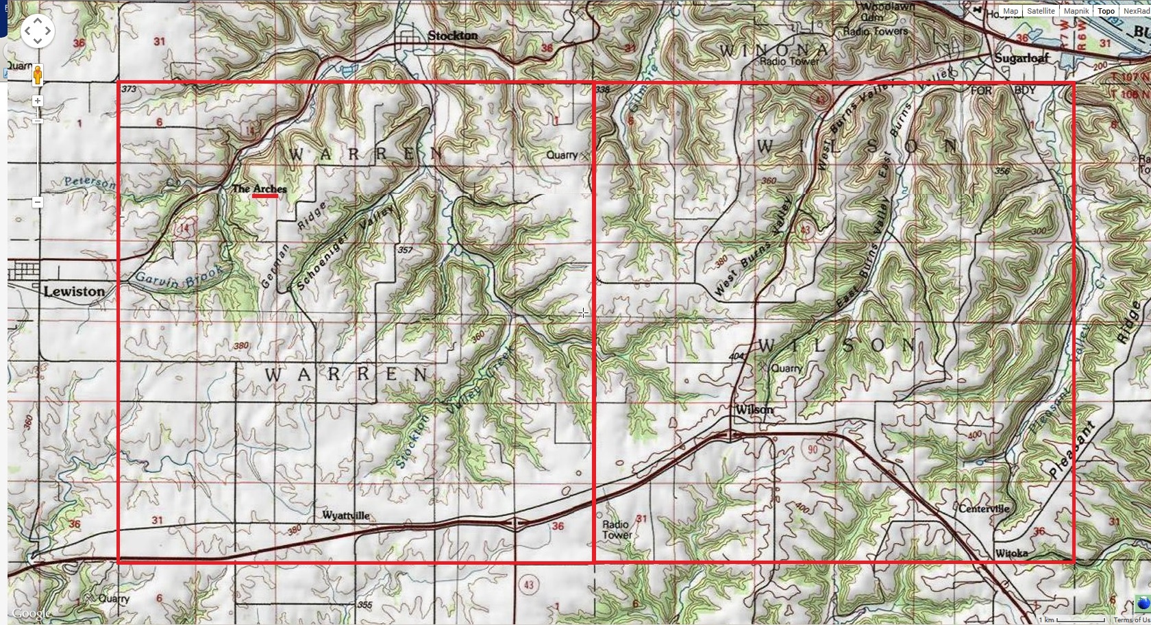
Traveling down another arm that is the octopus of this map series, I noted that The Arches in Winona County, Minnesota (the Gopher state) is an anagram of Teachers, and Teacher is a story in Winesap highlighted by other maps. I think it partially refers to the teachers of James Franco, who has famously returned to not one but several schools to study and earn degrees at recently. One has already been pictured in the blog, and it is coded into Winona County as well.

120908b_james_franco

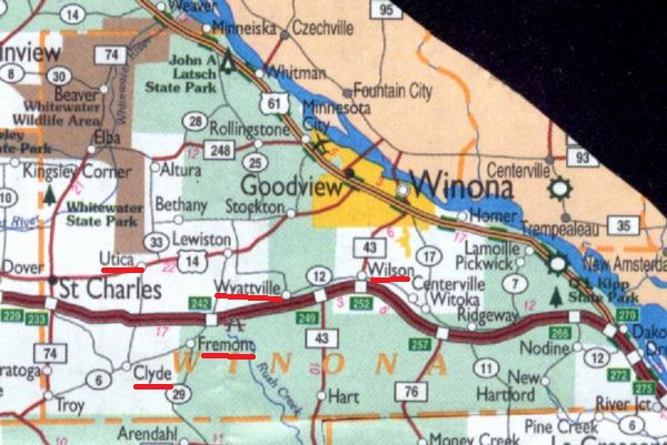
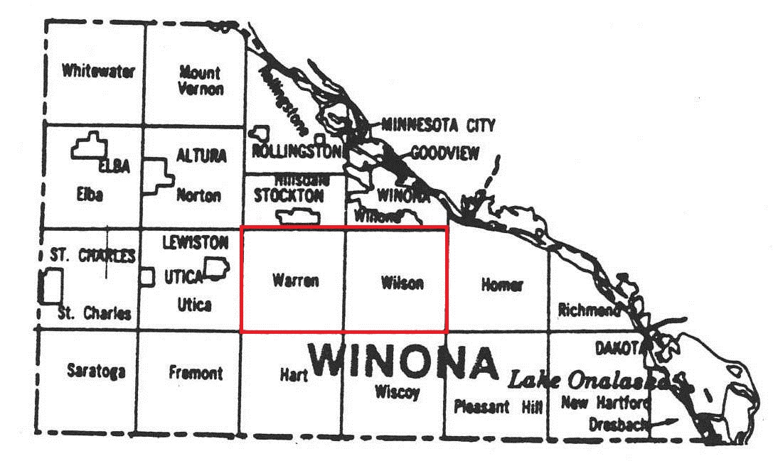
A logical deduction would have it that The Arches, in Warren township next to a Wilson township, may refer to a teacher or perhaps multiple teachers of that school. Coincidentally, about a month ago I started corresponding again with an old boss who may be teaching at this very college during spring semester. Is this the teacher referred to? If not, it still seems to fit in somewhere. And what about the only other population place in this Warren township: Wyattsville? Is this the name of a teacher as well? The colorful, hand drawn map of Winona County jokingly associates this town with Wyatt Earp, although there appears to be no other direct connection outside the names themselves. But we’ve also previously noted that Wyatt was born in a Warren County (Illinois) and also had a younger brother named Warren with whom he shared many of his wild west adventures.

winona1898

Teachers? (Probably.)

riddle01

If so, it means another red-blue focusing (see Winona-Rollingstone below), and a gateway to the future *beyond* any need for such teachers. I will be free but on my own. It will be good. Red-blue, then Beyond Green. I think it has to do with friendship as well (Jenifer Anniston). I cannot be friends with my teachers, can I? I was taught to create procedures for what I do (work). That it?

So it was important enough to make this map sync, hmm.

Maybe Media, Pennsylvania is an important key. Audiovisual synchs, after all, involve protection of the attached audio and visual media. Maybe this is a meeting place, a middle town.

Video:

video01

Audio (none):

http://en.wikipedia.org/wiki/Media,_Pennsylvania

Media and the FBI

Media may be best known for secret government documents that were illegally seized there by activists in 1971 and distributed nationwide. On March 8 of that year, the Citizens’ Commission to Investigate the FBI raided an FBI “resident agency” in Media. They later released thousands of documents to major newspapers [the *media*] around the country. These documents revealed controversial and illegal FBI tactics, like the recruitment of Boy Scouts as informants, and confirmed for the first time the existence of COINTELPRO, an FBI program to “expose, disrupt, misdirect, discredit, or otherwise neutralize” dissident groups in the United States.[13]

Leave a comment

Filed under Alabama, MAPS, Middletown, Minnesota, Pennsylvania, Wisconsin

up with maps! 04

https://bakerbloch.wordpress.com/2014/11/23/up-with-maps-02/

Why did he [Hayes or Hays] choose to be identified with Fremont in Sandusky County, with its second town as Clyde?

winonacounty02

winonatownships02

wintwp02

ww01

https://bakerbloch.wordpress.com/2014/10/19/ashville-02/

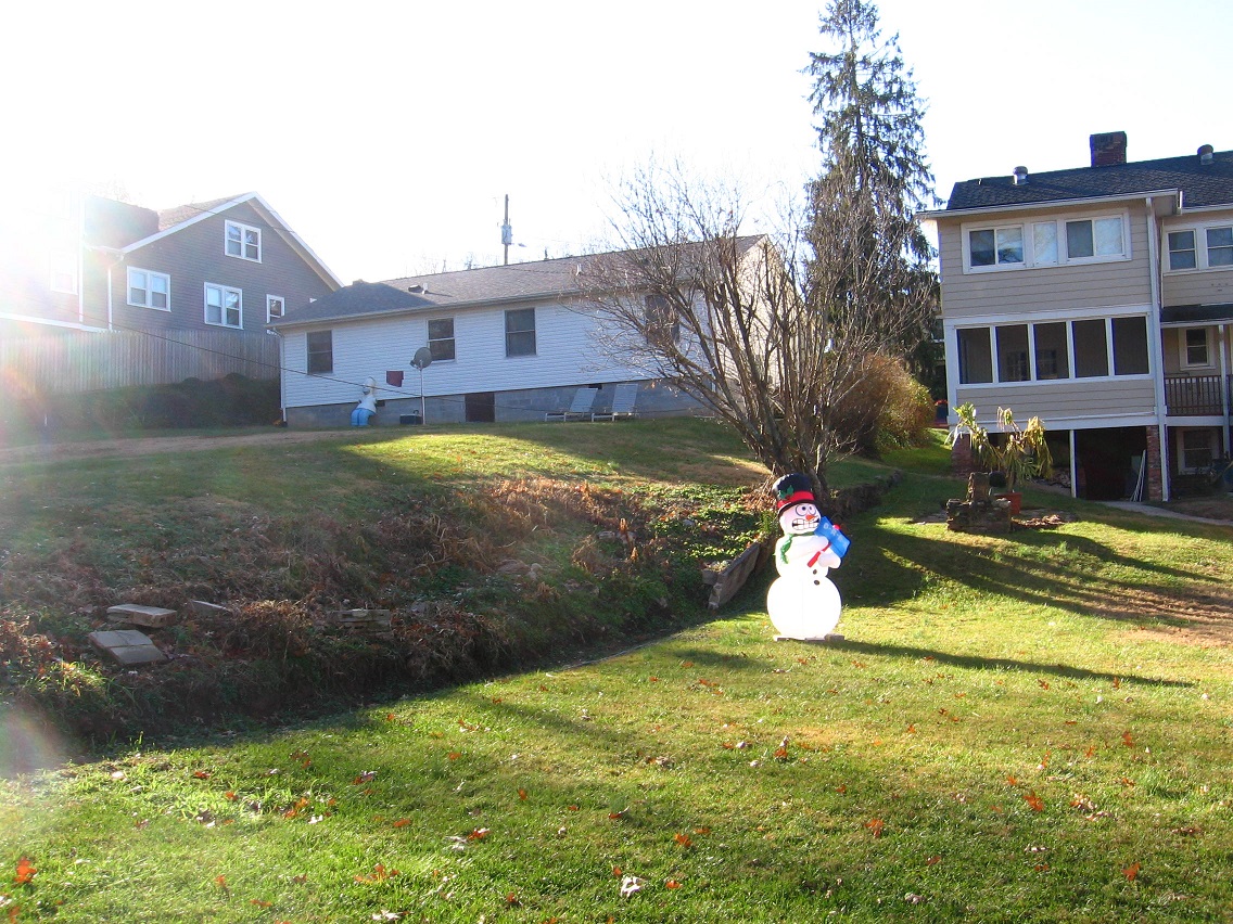
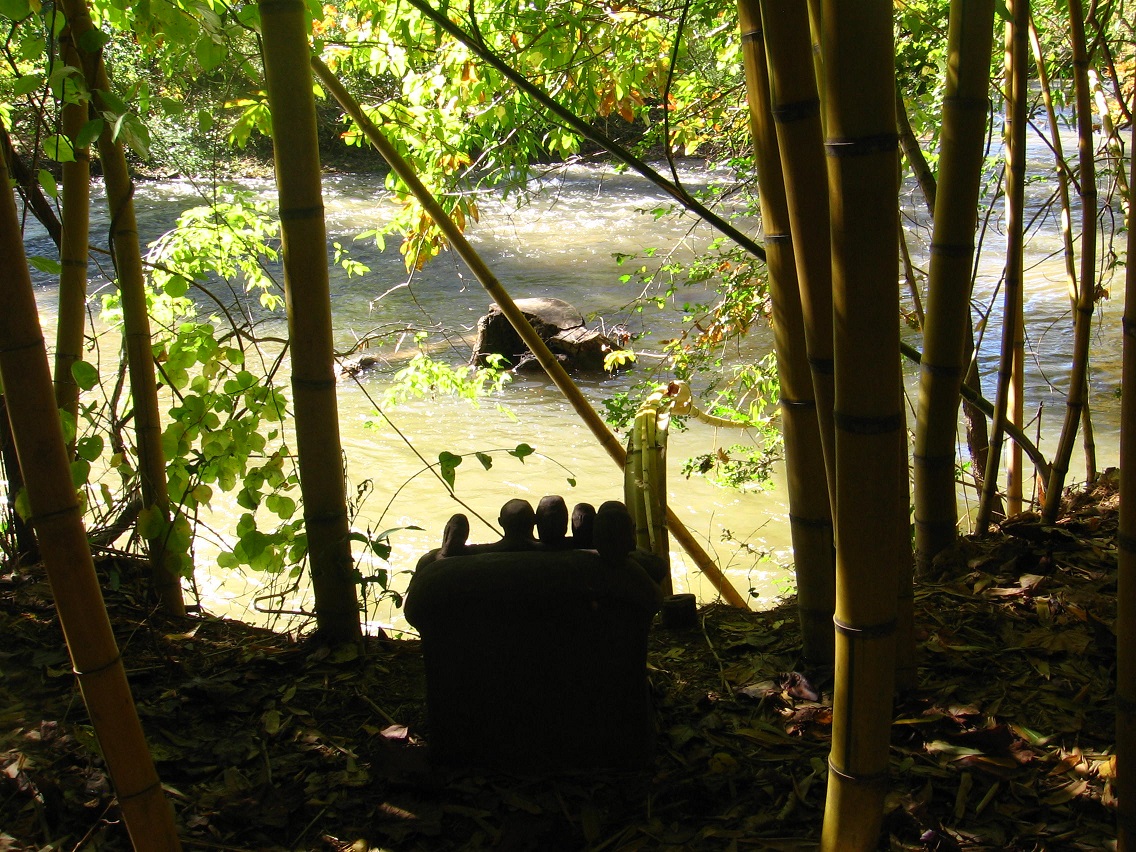
Warren & his owls look out on a stump in Wilson (Wilson Stump). He knows this is where he comes from. He always remembers his origin because it is always within his sight. There is a big drop in front of him, separating carved entity from river. He lies at the end of a 15 (natural) step passage. People marche right by him all the time.

wyattville02

winona1898

WyattEarp-500

thearches01

IMG_3373lg

The Arches, MN

DME 6090 and two other SD40-2s drag an empty moonshine train up Stockton Hill through an area known as “The Arches.” Clearly you can see why it has that name. The future civil engineer in me loves finding cool bridges like this one while out railfanning.

When we saw this train sitting in Minnesota City waiting for a warrant, there was no doubt a chase was in order up Stockton Hill, something we’d never had the chance to do before. But since we’d never done it before, we also didn’t have a great idea of where all the good photo spots were – just that one could follow the tracks for the most part on adjacent road. So when we saw a nice girder bridge just to the east of this bridge we set up there and were quite pleased with the shot. Then we continued only a few thousand feet down the road and found this slick double stone arch bridge. The keystone on the left arch has a build date of 1882. This was a fun chase on a Sunday morning for two railfans from Central Wisconsin. Sometimes the best chases are those where you don’t really know the territory and end up stumbling onto the best of shots by accident.

More photos from this chase and other photos shot on the BNSF and CP on the same day can be found here:

s126.photobucket.com/albums/p89/WSOR_3807/winona1-12/

https://bakerbloch.wordpress.com/2014/10/19/ashville-03/

Dead Center Hill (also see upper right corner of above photo): This is where it all went down. Warren also knew of the place; no lie this time. Warren again separated from Wilson and climbed this hill just to the south of the river, leaving a piece of kane (Old Kane) as a marker.

Arch Rock greeted “Warren Again Separated From Wilson” at Dead Center Hill

http://en.wikipedia.org/wiki/Wyatt_Earp

Wyatt, born on March 19, 1848, to Nicholas Porter Earp and his second wife, Virginia Ann Cooksey, was named after his father’s commanding officer in the Mexican-American War, Captain Wyatt Berry Stapp, of the 2nd Company Illinois Mounted Volunteers. Some evidence supports Wyatt Earp’s birthplace as 406 South 3rd Street in Monmouth, Illinois, though the street address is disputed by some.[who?] Monmouth is in Warren County in western Illinois.[5]

youngest brother:

http://en.wikipedia.org/wiki/Warren_Earp

wyatt03

http://en.wikipedia.org/wiki/Wyatt,_Missouri

It is the eastern most city west of the Mississippi river.

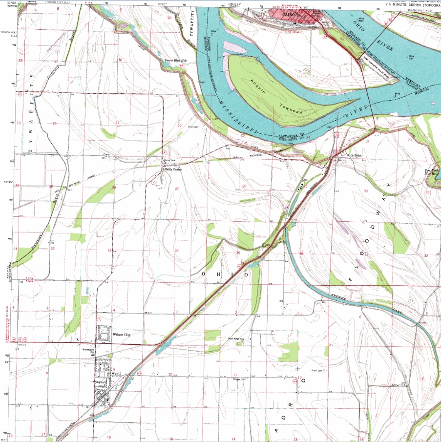
wilsoncitywyatt01
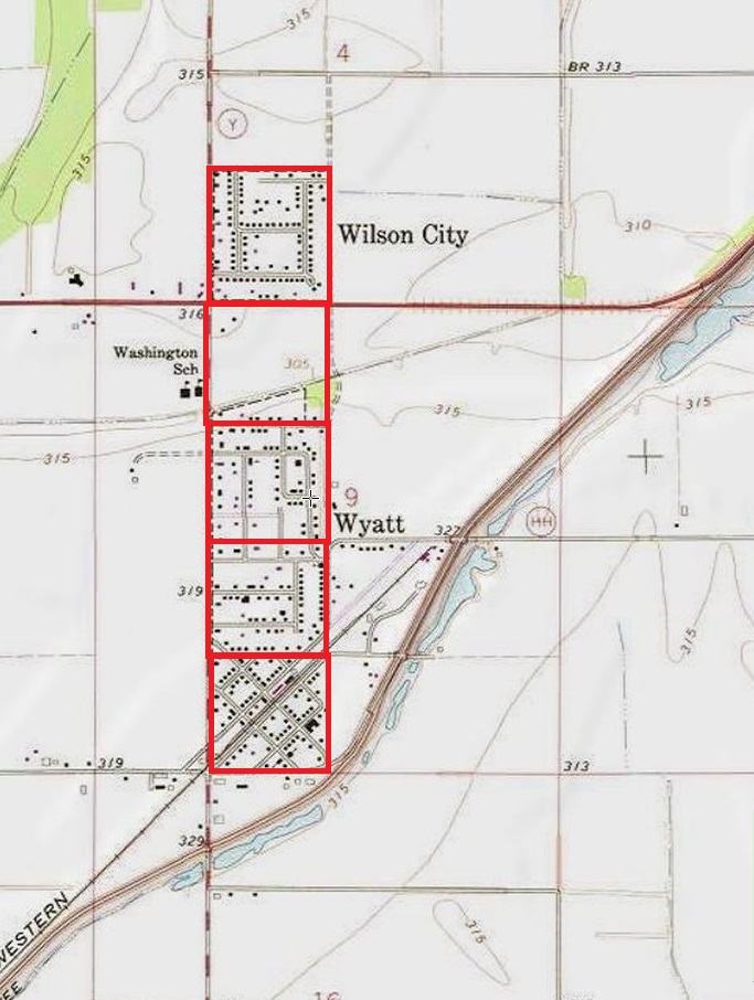
twin towns Wilson City and Wyatt in Mississippi County, Missouri on Wyatt topo map with Cairo, Illinois at top

wilsoncitywyatt02

Leave a comment

Filed under Illinois, MAPS, Middletown, Minnesota, Missouri, Pennsylvania

dead center, etc.

http://www.benway.com/firesign/lexicon/S.html

STRETCH DUMPSTER:

Princess Goddess arrives at Dead Center Hall in one. [GMIOGMD]

http://www.artwanted.com/mb/topic.cfm?Topic=470643&PageNum=9

Report to Staff/Moderators Save this Thread
Right above me is a stretch dumpster ready to speed Princess Goddess to the White Tie and Black Ribbon affair at Dead Center Hall.

There a replica of the solid platinum chord the doctors pulled out of her back, making it possible for her to speak again, will be auctioned off, along with Rose Mud, the mud board she was riding at the time of her final encounter with a land mine on the slopes of the English Alps.

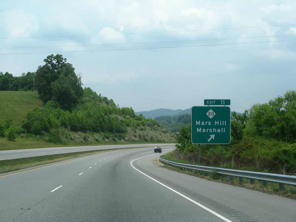
Mars Hill, MarsHall (in Ashville):

i-026_wb_exit_011_07

We thinks the Mars Hill MarsHall combo in Madison Co. points to 5×5 Magic Square of Mars beyond 4×4 Magic Square of Jupiter (see 5 Weeks of Shining). Specifically, the 5×5 such square embodied in the animated Wizard Cube based on Jack County, Texas, pheh.

1 Comment

Filed under Middletown