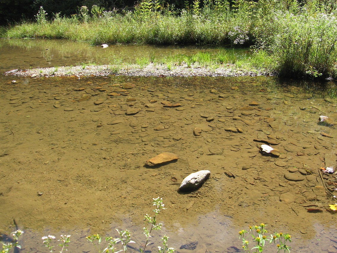
Nautilus City 1024

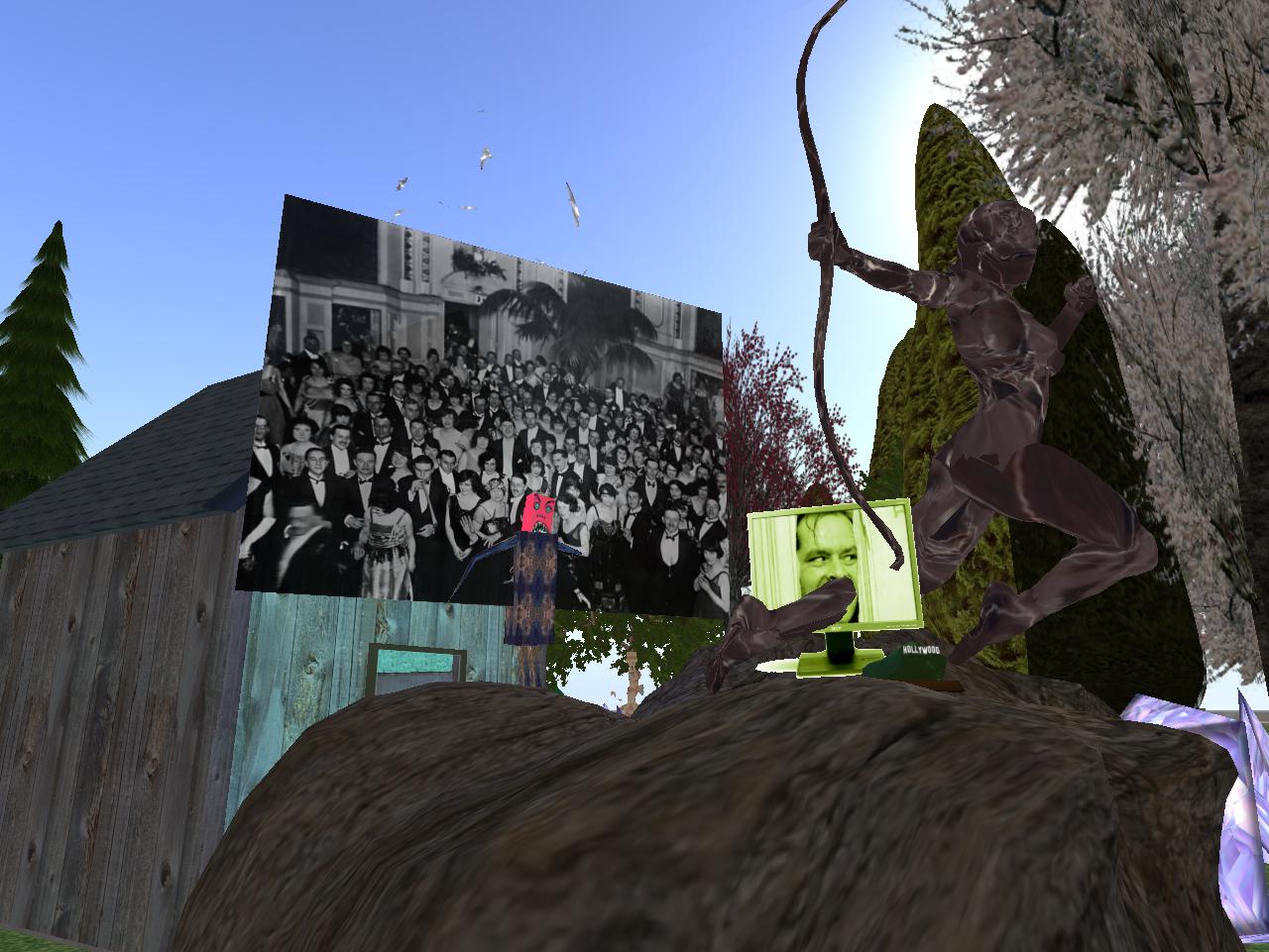
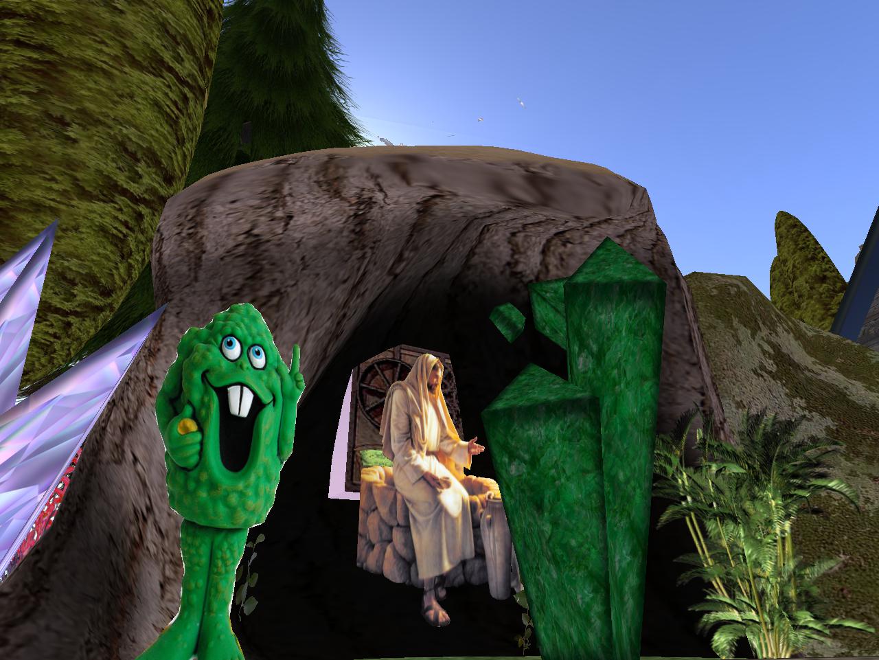
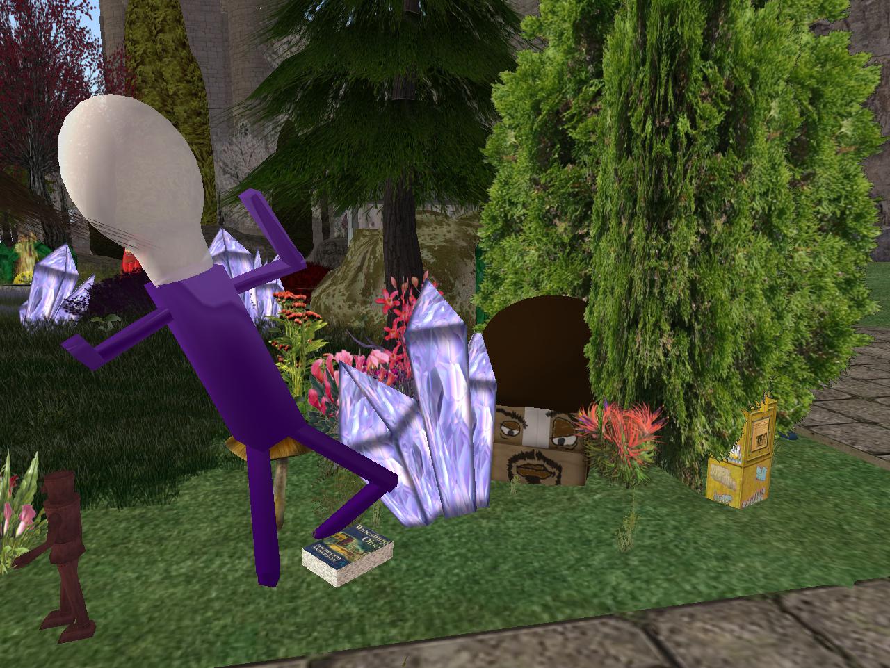
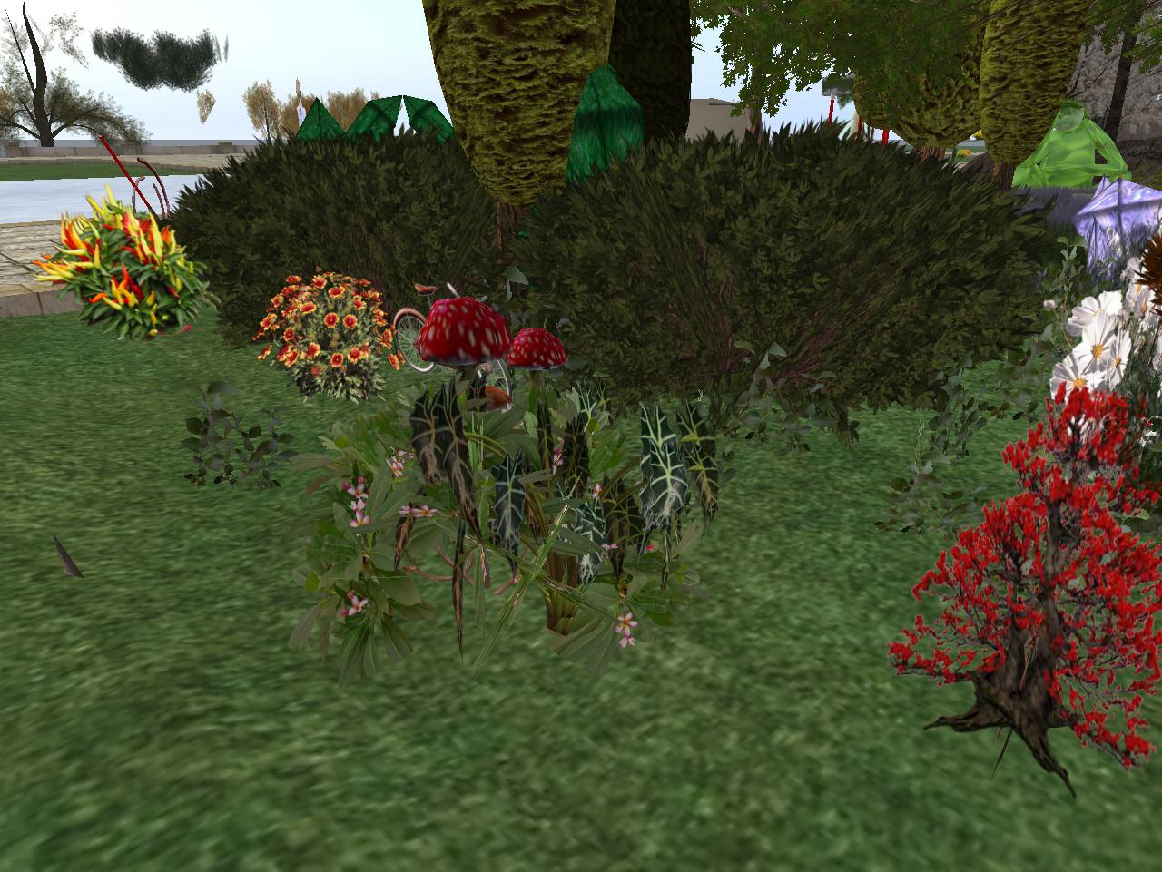
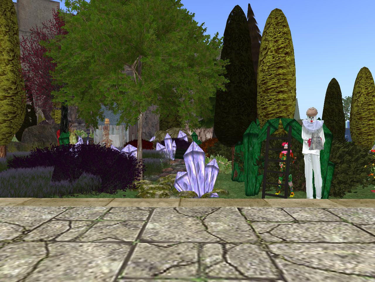
My Nautilus city-island rental property has transformed into a garden temple, similar to the Mysten TILE temple throw in a lot of pretty landscaping. Basically I stole the vegetation from the Collagesity Heights garden, trimmed it down to a 32×32 meter square to fit my new property, and started adding in other objects within this base.

http://maps.secondlife.com/secondlife/Nautilus%20-%20Dido/176/67/26
Snapshot1026_005

Snapshot1026_001

Snapshot1026_002

The faithful reader will recognize many items from the TILE temple here.

Snapshot1026_006

Snapshot1026_007

Snapshot1026_008

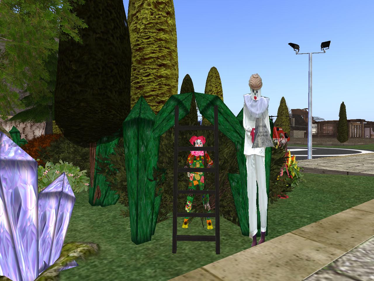
Front entrance of the temple/garden, I suppose.

Snapshot1026_012

Snapshot1026_013

The spanning walkway is clogged with crystal clusters and plants.

Snapshot1026_015

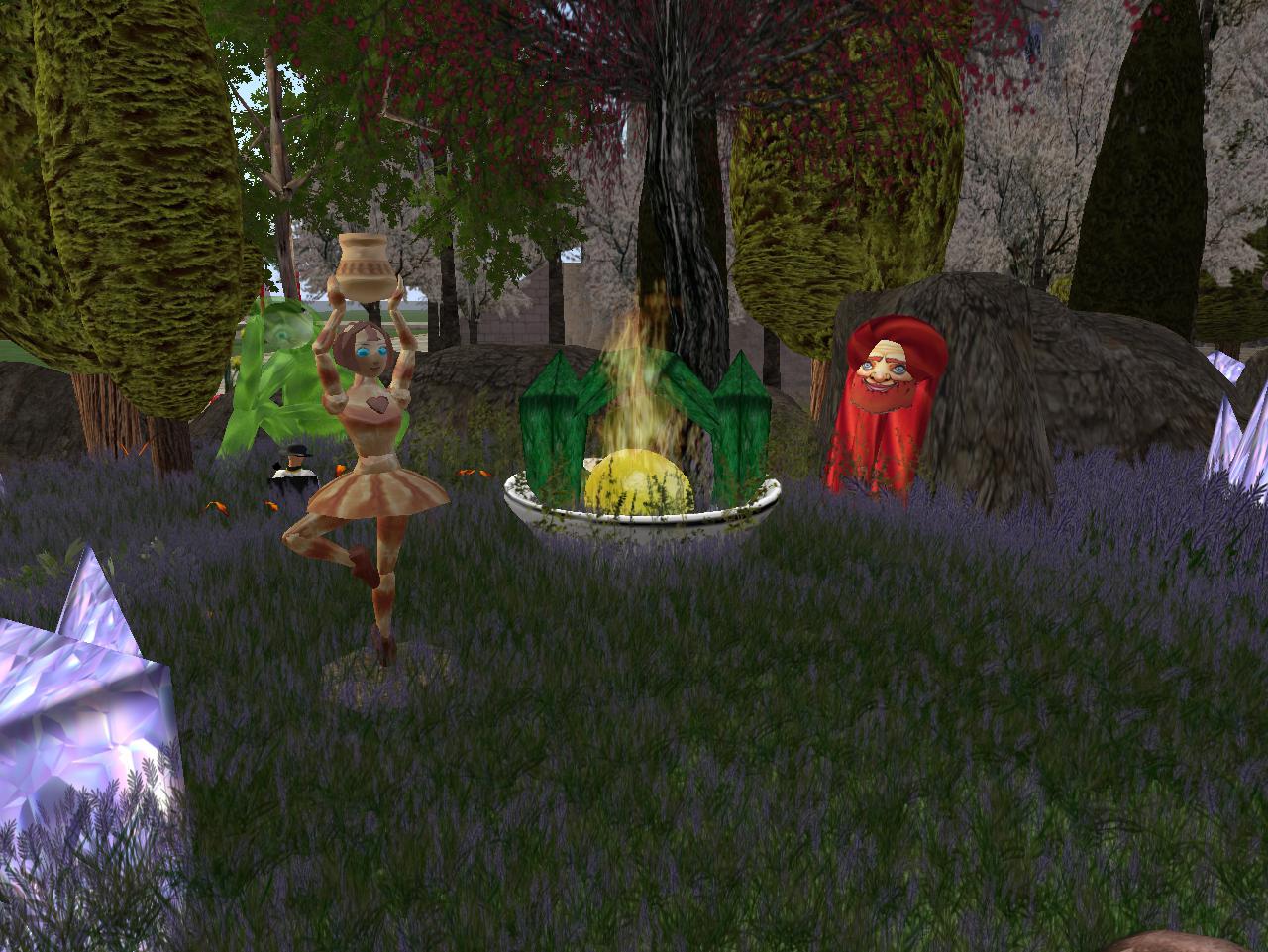
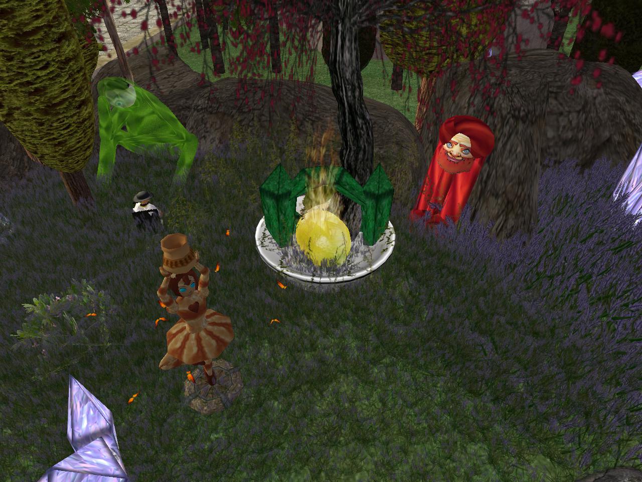
Perhaps the most central tableau of the garden: the return of Lisa V.’s burning lemon.

Snapshot1026_017

Snapshot1026_019

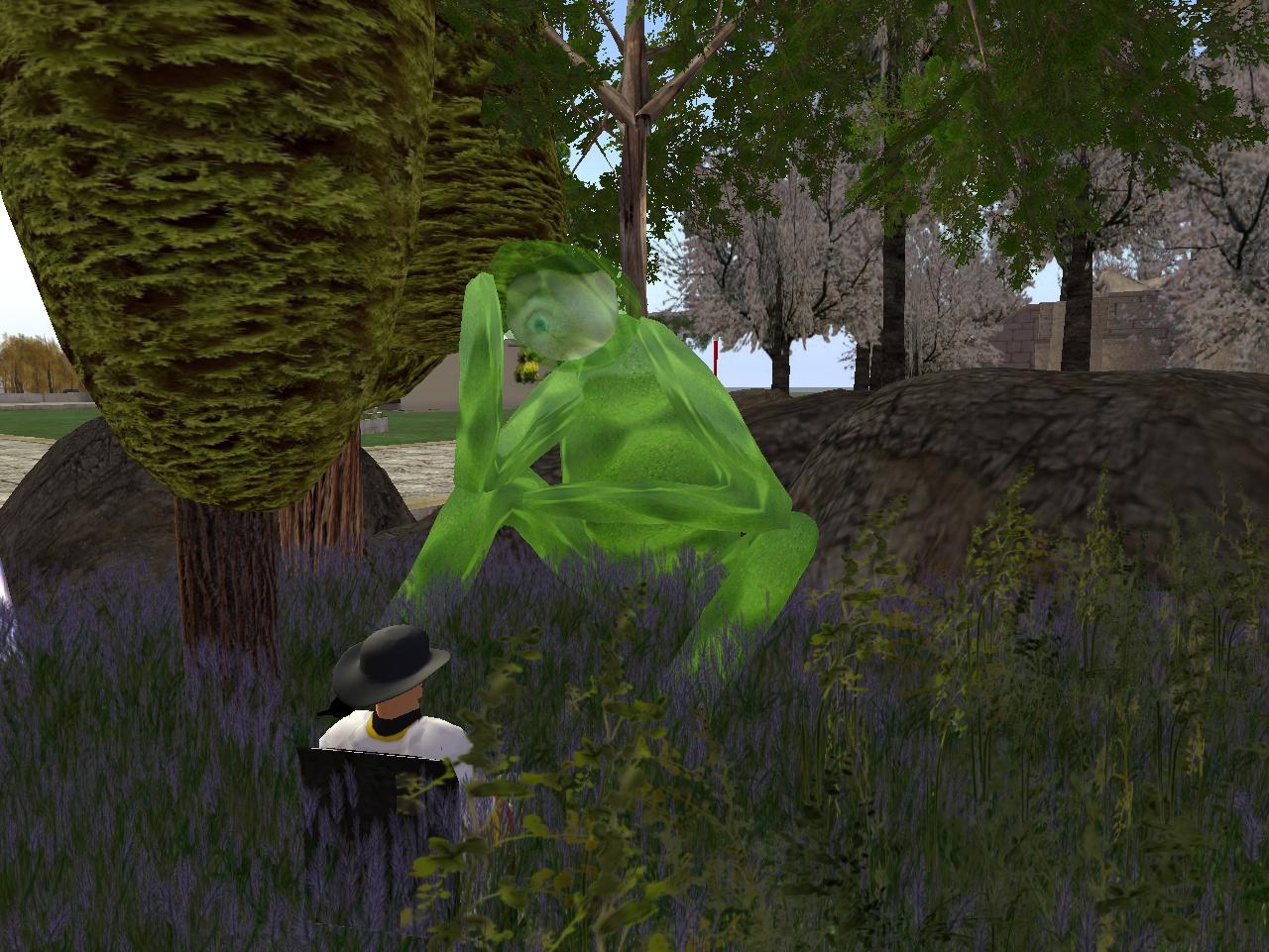
Carrcassonnee is there too in the knee to thigh deep plants. Can she exist here and in Minoa’s Collagesity at once?

Snapshot1026_022

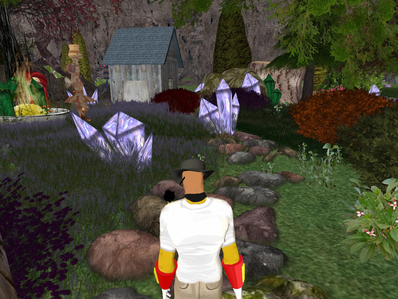
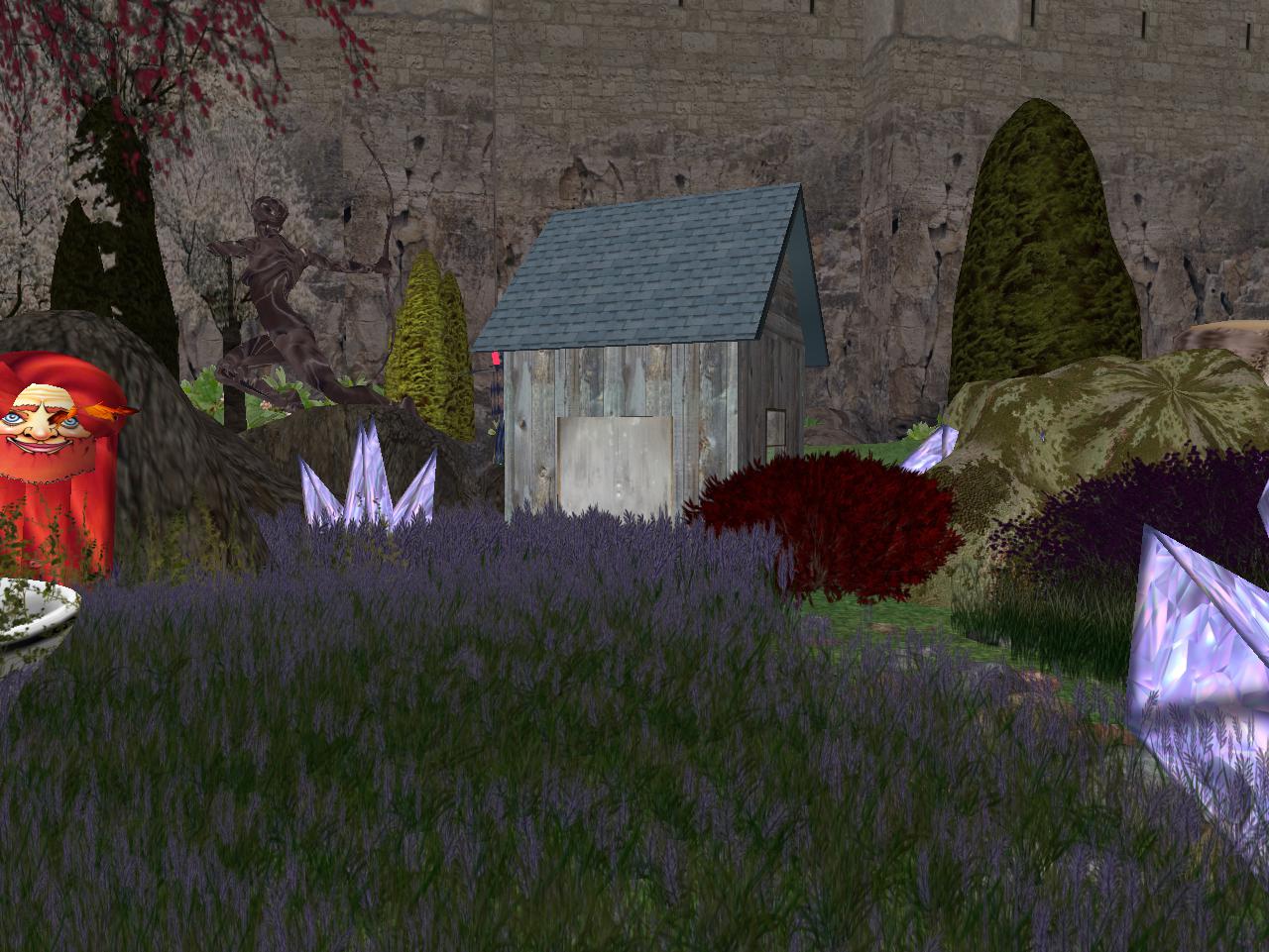
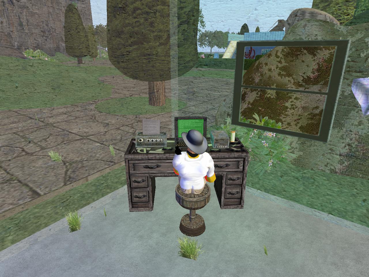
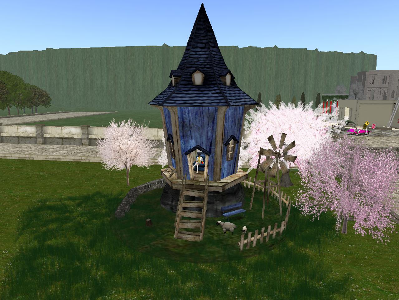
The only structure per se on the property is this shed…

Snapshot1026_023

… which acts as Baker’s small study, complete with computer and desk.

Snapshot1026_025

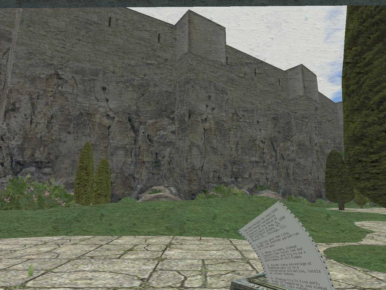
Great view of The Wall within.

Snapshot1024_002

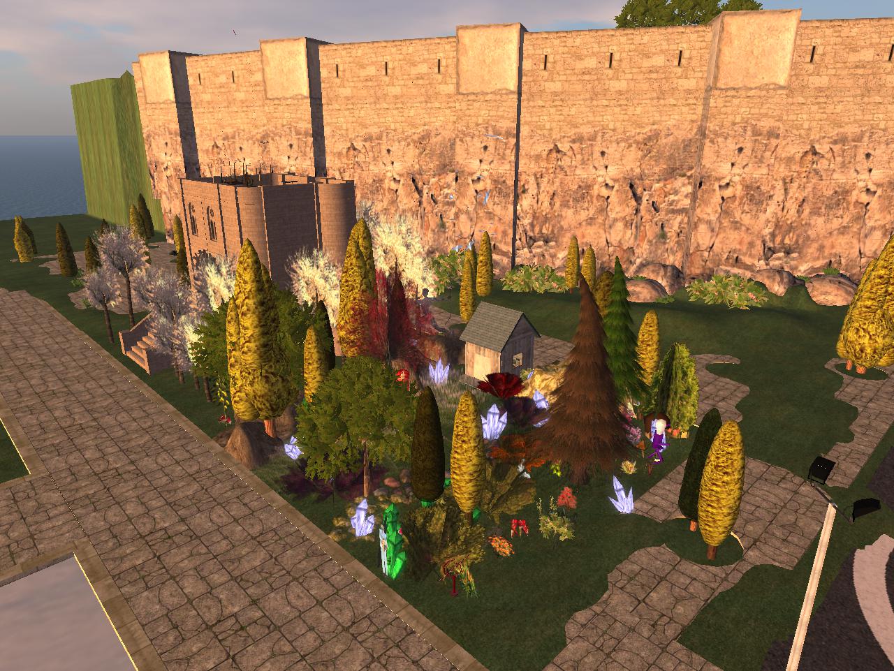
Overhead view which includes the land of my castle dwelling immediate neighbor.

Snapshot1028_003

Leave a comment

Filed under **VIRTUAL SL, Nautilus, Nautilus City

The story of Nautilus City

http://wiki.secondlife.com/wiki/Nautilus_City_investigation

I have a related category on the inactive Baker Blinker Blog — best read from back to front, per usual.

https://bakerblinker.wordpress.com/category/nautilus-city/

My posts are essentially divided into land exploration of the new island in 2008 (first half posts) and then sea exploration around the island just afterwards (second half of posts). And that’s about it, except for one brief, former stay on the island described in another post, and a couple of revisits.

Now I’m back. Is this my new home? Or is it just a vacation of sorts? Will I finally give up Collagesity next to the Rubi Forest? I’ve been there going on 1 year almost. Why should I keep it? Will I be happy just existing in Nautilus City?

Leave a comment

Filed under **VIRTUAL SL, Nautilus, Nautilus City

Rediscovery>Wealthy Mountain

Yesterday, tried to reach Bigfeet Swamp for more hiking fun and toy happening scans but was blocked by the high water of Leola Creek. I could try wading, but that’s risky if you can’t really see the bottom well because of the slippery rocks involved.

IMG_0103smaller

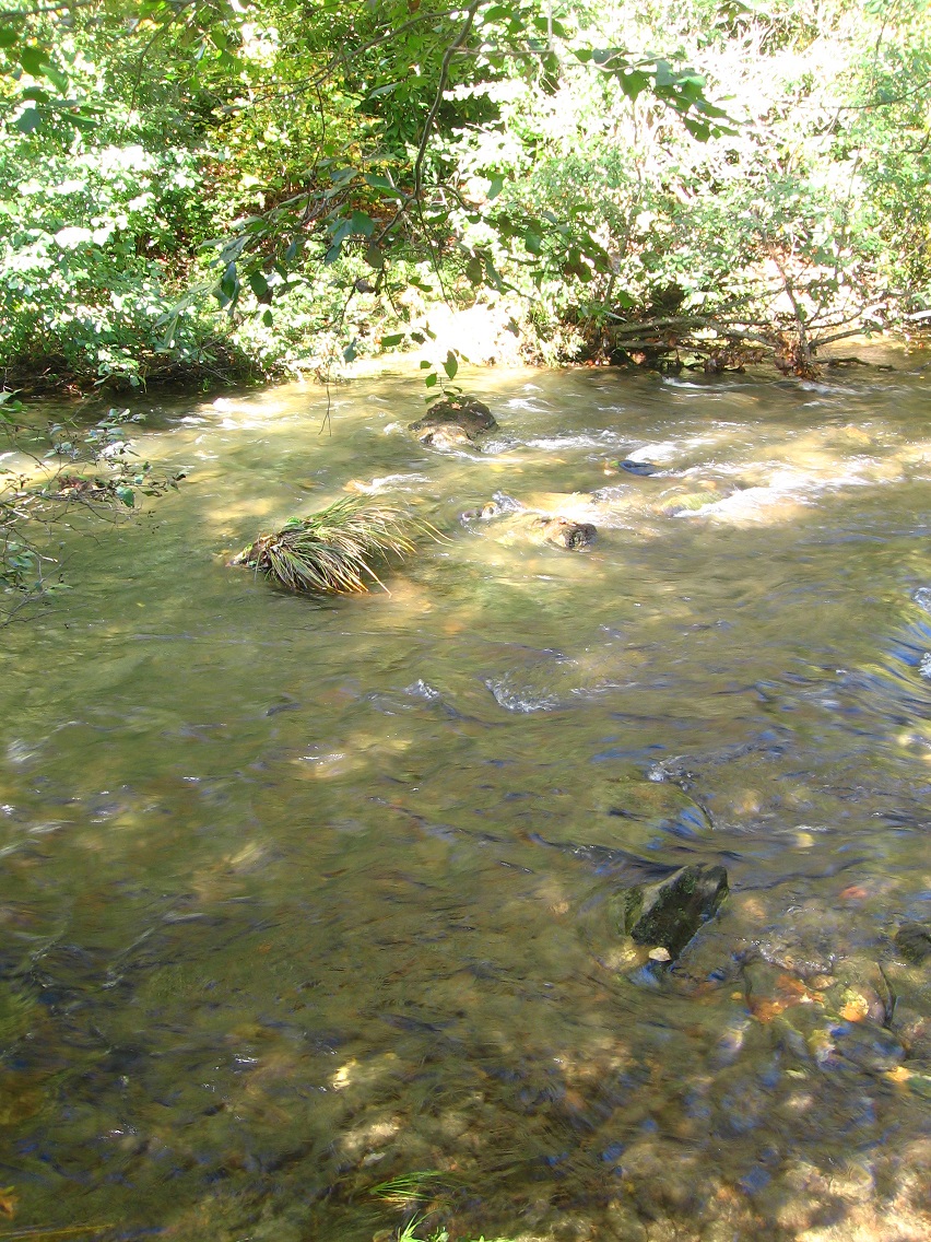
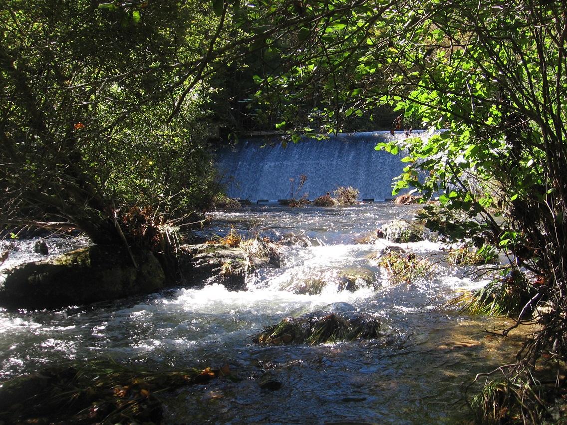
So I instead walked just uphill to Rediscovery (parking my car at the town mall once more). This is Leola Creek again, just below the Hand Lake dam.

IMG_0104smaller

IMG_0107smaller

The dam. Water is still pouring out of the mountains, despite the rain having stopped several days back. But man did it come down in the 2 weeks before that.

IMG_0108smaller

I was pleased to find the The Finger of Hand Lake still intact, if a bit shrunk and soggy looking. Compare with here from about 2 weeks ago.

IMG_0112smaller

Yesterday I also decided to head over to Wealthy Mountain in Herman Park for what turned out to be a considerably more extensive hike, where I visited both Lion’s Roar and Tinsity/Green Oz Creek in the same sweep. Here’s a nice little falls about halfway up the side of Wealthy Mtn. on a fork of Byng Creek that I don’t think I’ve taken a picture of for this blog yet. About a 30 footer, I would reckon, a gently cascading affair. Considerably more dramatic in person that it appears in the below photo.

IMG_0113smaller

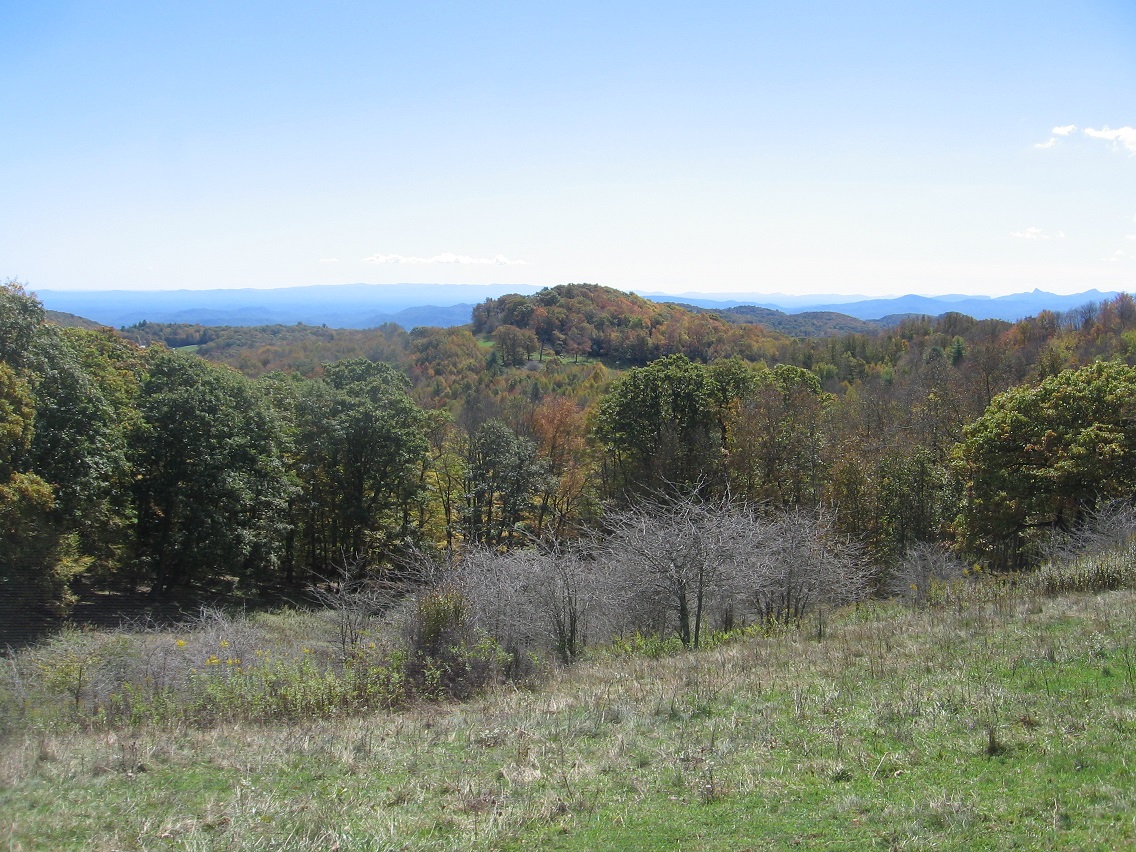
Near the top o’ Wealthy Mountain looking out toward lower land to the south.

IMG_0119smaller

A more prominent rock of Wealthy Mountain on a branch of Green Oz Creek.

IMG_0126smaller

A shot from the Wallace/Tinsity area already covered in some detail in the related blog category.

IMG_0129smaller

Colorful Tinsity fern. The leaves appear almost a bit past their peak here, but perhaps all the rain has dampened the fall colors, as it were. The actual peak for the Blue Mountain region traditionally comes in about a week’s time from now.

IMG_0130smaller

I plan to take 1 or 2 more days off next week for hiking possibilities. A fun time of the year!

Leave a comment

Filed under BIGFOOT, Blue Mountain, Byng, Green Oz Creek, Herman Park, Wealthy Mountain

Nautilus City 01

From my new exploring base in Nautilus-Dido (which I’m just going to call Dido from here on out), I poked around my new island digs a bit this night and took several pics of the builds found on a couple of my nearest neighbors’ lands…

Snapshot1010_001

Snapshot1010_003

… plus a good number of the native Linden concoctions, like this ancient, horn topped lighthouse…

Snapshot1010_005

Snapshot1010_006

… and the island’s main harbor guarded by two massive statues of Poseidon. I’m sure I’ll be revisiting these statues more up close soon enough. I knew about them from previous explorations of the city-island, starting in 2008 when it first rose, Atlantis-like, from the sea.

Snapshot1010_011

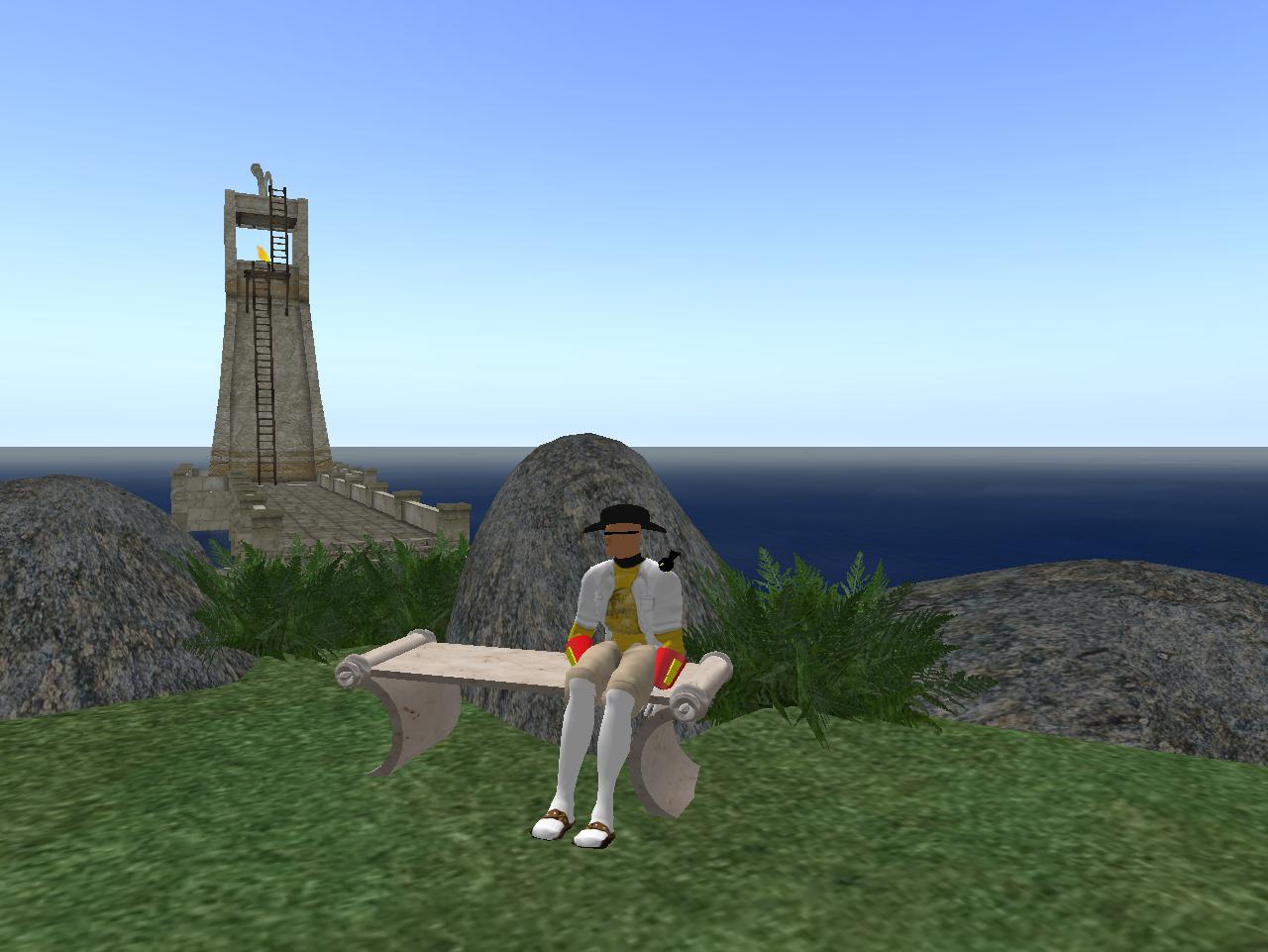
Baker Bloch enjoys the sights, sound, and textures of a cluster of Linden ferns on the side of a hillock near the lighthouse.

Snapshot1010_016

More Linden plant groupings (green cypresses and flowering plumeria).

Snapshot1010_022

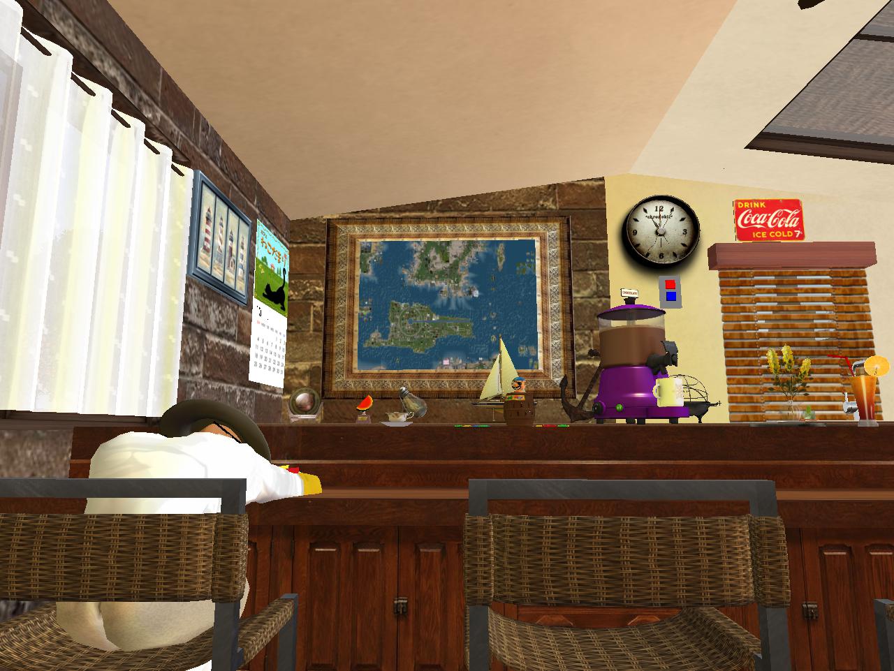
Baker recharges at a bar I can’t remember the exact location of; Nautilus city-island map on the background wall.

Snapshot1010_024

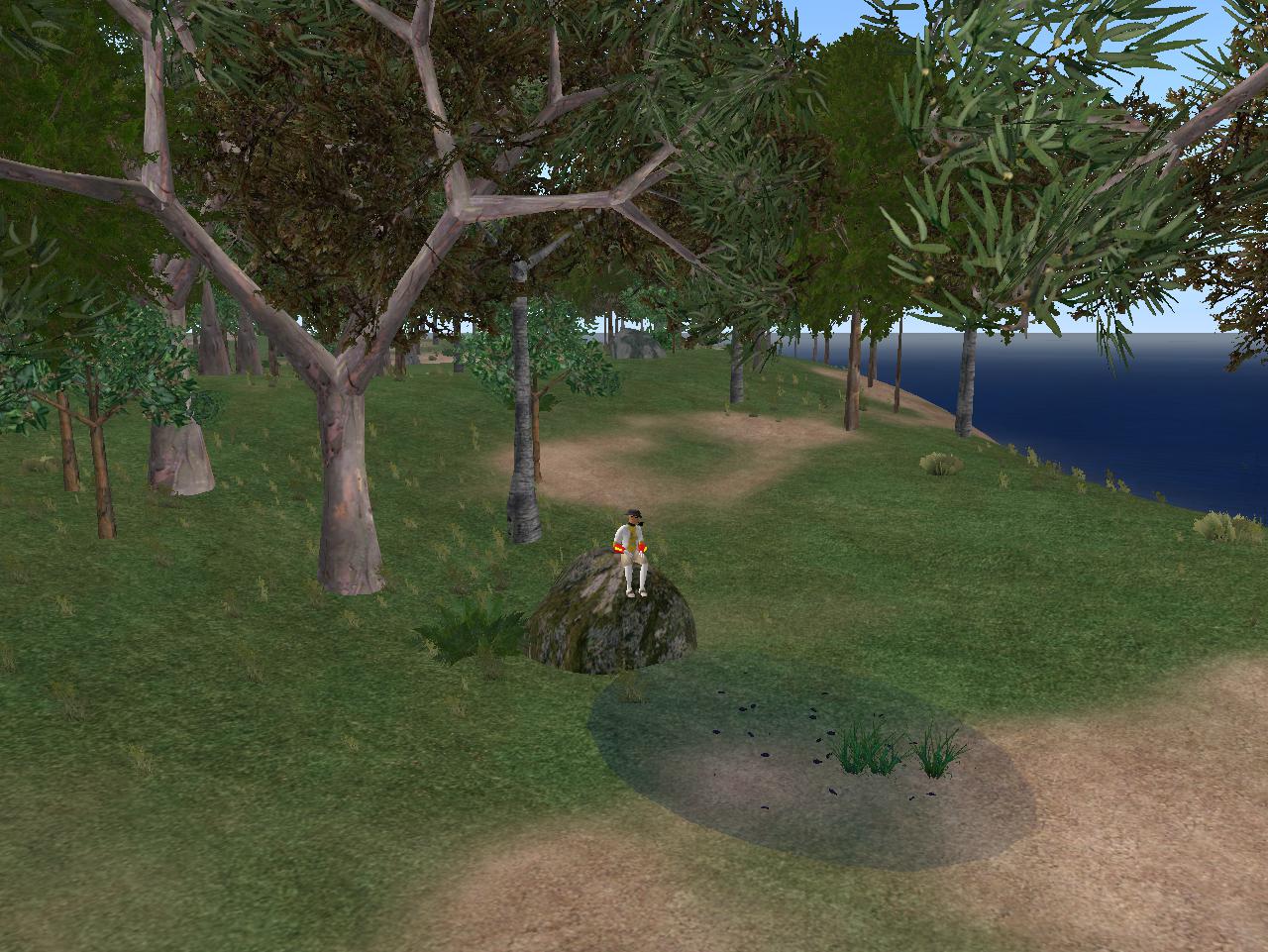
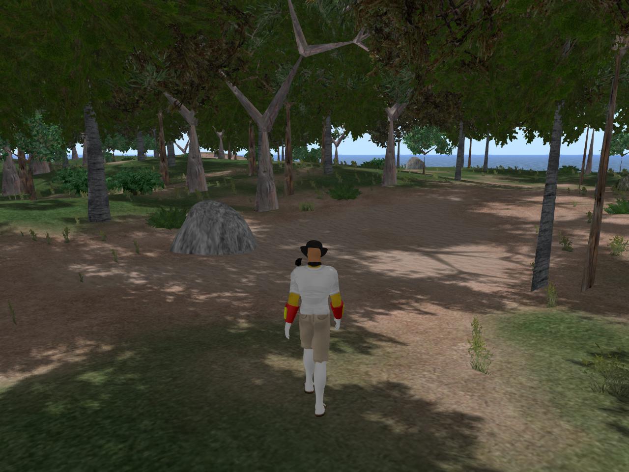
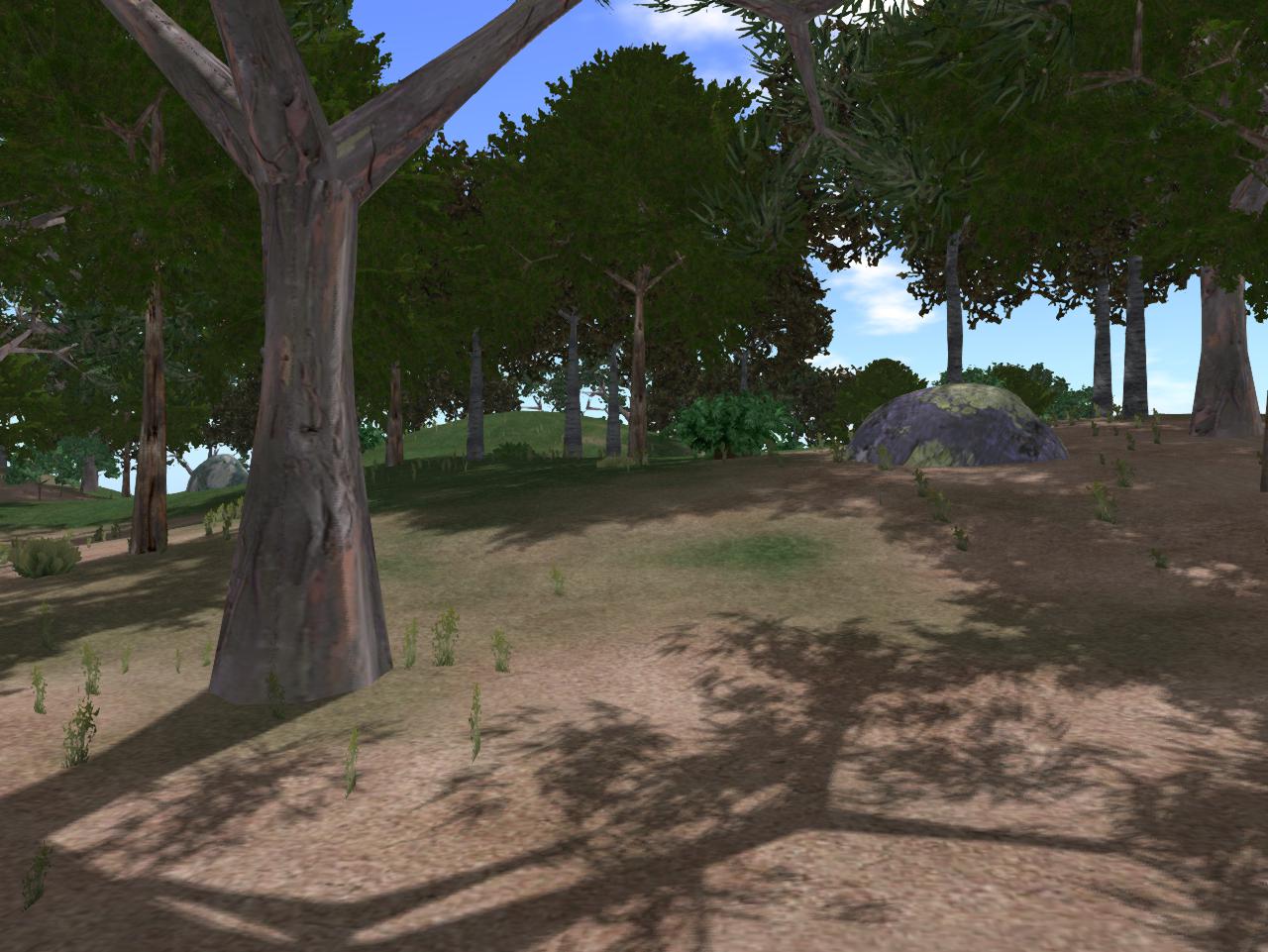
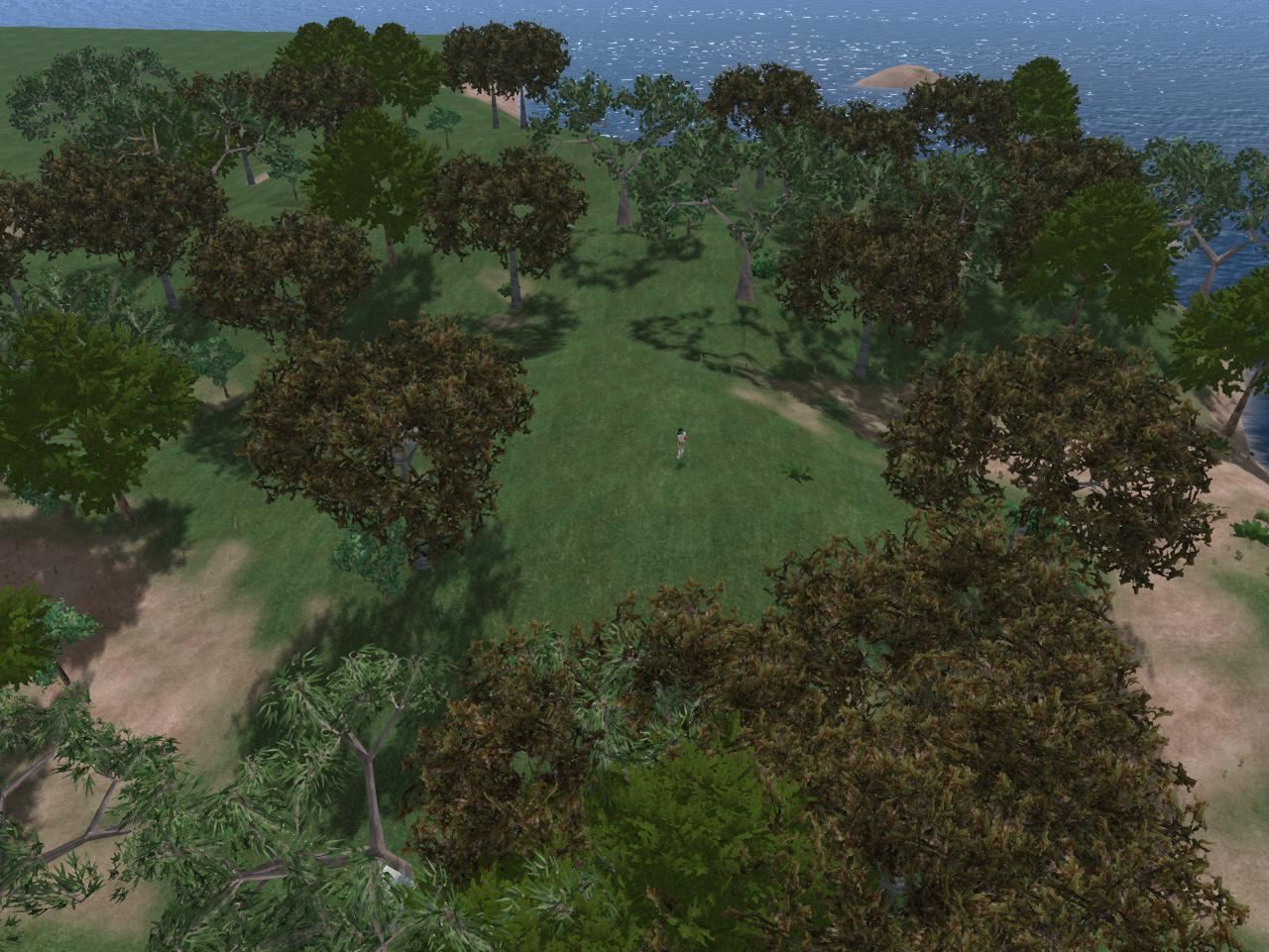
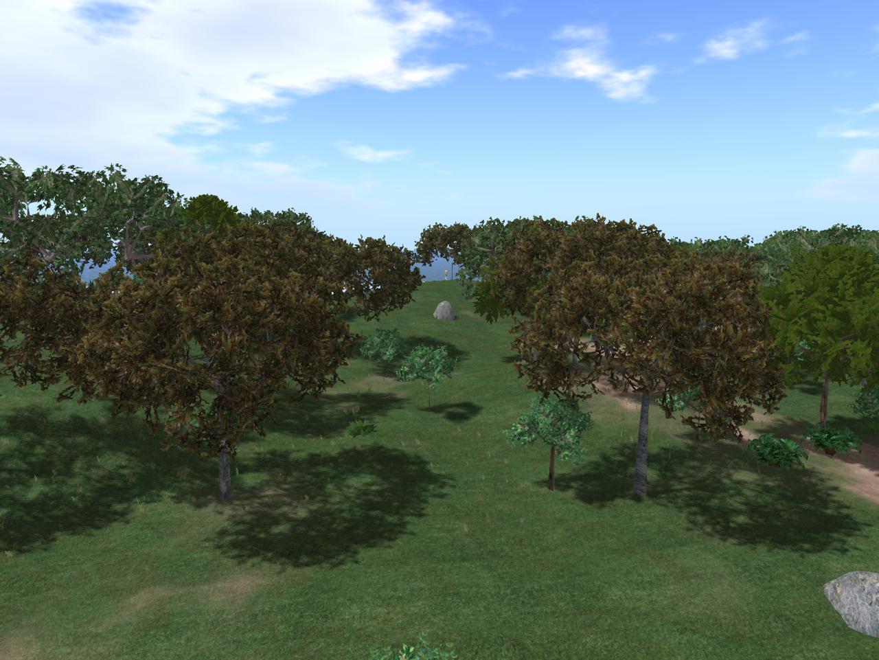
Then it’s on to the island’s main wooded section, which probably surpasses the Great Rubi Forest in size if not tree density. I plan to make a detailed examination of this wood soon if I decide to stick around the island through Baker Bloch. We’ll see…

Snapshot1012_001

Snapshot1012_004

Snapshot1012_005

Snapshot1012_006

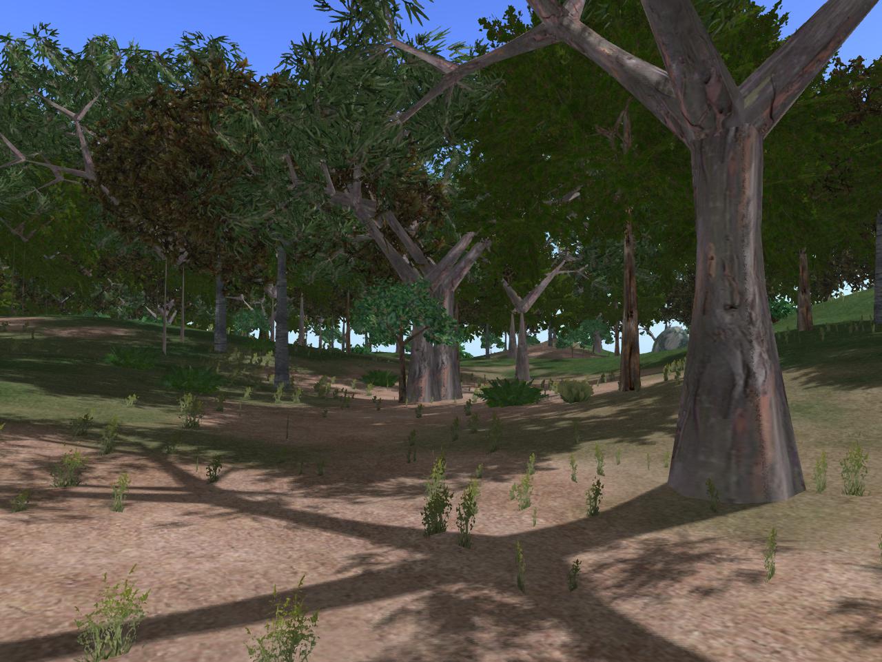
The tree species are similar to Rubi’s as well: lots of brown and green cypresses, throw in a good number of eucalyptuses. But there’s more diversity of vegetation in the undergrowth; more diversity of ground terrain; more changes in elevation. And there’s also some big, nifty rocks — you don’t have any rocks in the Rubi Forest.

Snapshot1012_007

Snapshot1012_010

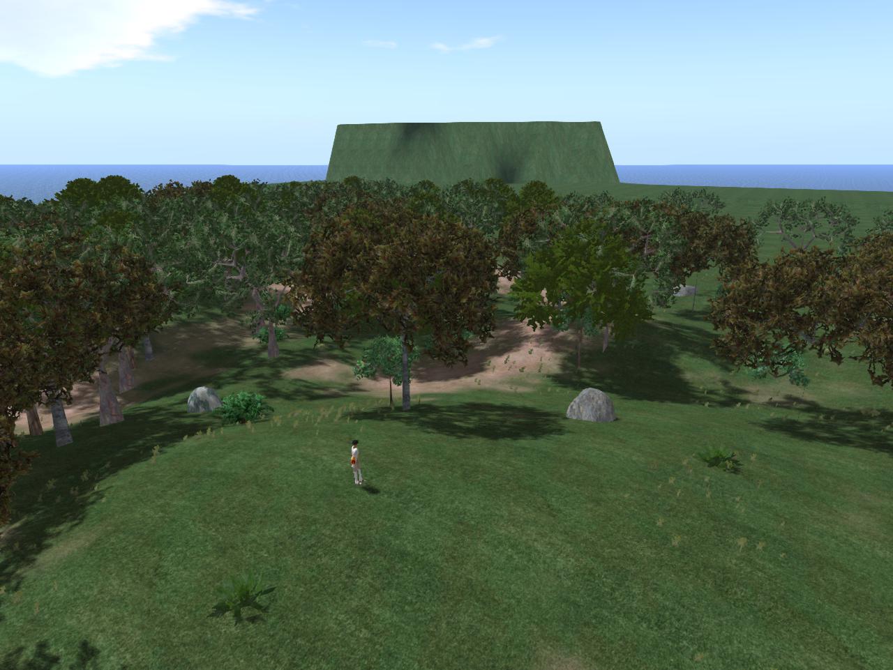
The elevated central city seen from a high spot in the wood. Baker can only make out high green terrain from this distance.

Snapshot1012_016

Leave a comment

Filed under **VIRTUAL SL, Nautilus, Nautilus City

Nautilus City Rental…

… next to its walled center. More details soon!

Snapshot1008_002

Snapshot1008_005

Leave a comment

Filed under **VIRTUAL SL, Nautilus, Nautilus City

Judas/Jesus

2nd reference to Judas as Jesus’ brother instead of betrayer I’ve seen in a span of hours.

http://www.fringepedia.net/wiki/Walter’s_Lab_Notes

LabNotes119b

1st here:

https://en.wikipedia.org/wiki/Lemons_%28Red_Dwarf%29

Leave a comment

Filed under **VIRTUAL SL

Notes and News

Outside: rain rain rain for the past week and more coming. So no new blog posts on the greater Blue Mountain area. 😦 But I plan to take several days off soon for fall leaf hiking when it dries out, and to still create some kind of toy happening… somewhere. Maybe Bigfeet Swamp. Maybe Rediscovery. Maybe still in Herman or Frank Park (Whitehead Crossing?).

I’ve taken advantage of being basically stuck indoors recently to create a new carrcass, or what in real life I call an audiovisual synchronicity. I can’t give much detail about it, however.* Currently I’m sprucing up The Table, a directly attached creation. I should have the carrcass ready for viewing by Monday or Tuesday at the latest.

Hucka D.:

I heard you want to talk about the latest creation. And the hiking. Where to put the happening? You’ll see.

—–
* Except this: Remember.

Leave a comment

Filed under BIGFOOT, Blue Mountain, Carrcass Artists

Notes

I’m glad that Hucka D. is starting to attend meetings with Carrcassonnee. Or should I refer to him as Hucka Doobie now? hehe. We’ll see how long it lasts. Short attention span that man-insect has! But I get the gist. Carrcassonnee’s diner is symbol of Hand Lake, as the larger TILE Temple that she originally inhabited in the newest version of Collagesity is Drink Lake. We know now that the two, in real life, are directly north and south of each other — as the temple and diner were (as well) in fake or virtual life. That’s another link or resonance. Further, both Hand and Drink are drinking lakes, and have a water plant nearby that also have a direct north-south relationship. Directly. Hucka D. has stated that a Fringe event has happened in the center of Hand Lake in past/present/future, and *caused* The Finger. Interesting theory. Carrcassonnee seems to back it up but unsure still. The rock in the Collagesity diner is supposedly owned by Peter SoSo, who may be the same as Fringe’s Peter. Carrcassonnee might even double for Olivia, as we’ve talked about before. LINK

315_00042

—–

If there’s something to all this, Reiden Lake must figure into the mix, a place linking the two realities of Earth depicted in Fringe….

tumblr_lt570su2v41qejfej

310595_10150399782979534_158084819533_9980024_1504241495_n

I’m getting hints that Hucka D. doesn’t want me to talk about that much yet. So let’s go here instead: the image of a lake as a hand that basically seals up the whole Falmouth collage series, acting as an Omega element…

collage42test14cffh

(The actual lake in the extended collage) is Tarn at Leaves near Stonetwaite. TaL is filled with algae, as I know Hand Lake is now when visiting midday this past weekend. Mr. Bean has become one with the lake or tarn; seems to be laying down on its shore and drinking from it or perhaps even drowning in it — becoming one with it either way. Same basic color. Then extending from *his* body is an upright map version of Lake Horton in Nauvoo, Illinois, a place famous for the death of Joseph Smith, prophet and founder of Mormonism. The lake contains a single island which is called Gilligan’s Island. And the lake is shaped like a hand of sorts.

Gilligan’s Island is another Omega Point.

hand_bandaid
bent thumb

(to be continued)

Leave a comment

Filed under **VIRTUAL SL, Blue Mountain, Drink Lake, Herman Park, Heterocera, Illinois, Lake District, MAPS, Rubi, United Kingdom

Carrcassonnee & Hucka D.

(joined in progress)

“… natural to assume that.”

bb:

The Great Rubi Woods is the only link I have remaining in Second Life. It still gives off energy.

Carr.:

You’ve been there almost year! One. How you can give up?

bb:

I don’t know Carrcassonnee. I suppose I’ll rebuild Collagesity.

Hucka D.:

No. Give it up.

bb:

Clarify. You said that earlier (in the meeting).

Hucka D.:

I won’t leave again.

bb:

Thanks.

—-

(20 mins. later)

“… said you wouldn’t leave again.”

Hucka D.:

Sorry. The baby needed milking (again).

bb:

Strange.

Hucka D.:

Backwards I know.

bb:

I know backwards!

Hucka D.:

Yes. So to Lisa The V. She needs your help. She is not *done* with the project, only resting. Herman Park is not a done deal. Fluid. Still. We have a Fringe event. Central one.

bb:

I see.

Hucka D.:

No you don’t.

Carr.:

Where’s Carrcassonnee??

—–

(2 hours later)

bb:

If I go there will I be square?

Hucka D.:

I’ll turn that over to Carrcassonnee. Goodbye for now! (Hucka D. buzzes off)

Carr.:

I Carrcassonnee! I help.

bb:

You sentences are clipped tonight Carrcassonnee.

Carr.:

Clipp. ed.

bb:

What do *you* think happens in the center of Hand Lake? We’ve heard Hucka D.’s tale.

Carr.:

Hucka D. is so right wrong. Left. Left wrong.

bb:

He shouldn’t have left?

Carr.:

Okay. Bye!

Snapshot1000_002
Awwkwaaard.

Leave a comment

Filed under **VIRTUAL SL, Heterocera, Rubi

*Hand*

I’ve decided to rename Finger Island into Hand Island, with the attached lake it dominates likewise turning into Hand Lake. I do this because there’s clearly not one finger-like extension projecting from the main bulk of the island, but *two*. My reasoning is that the other 3 fingers are represented but hidden, perhaps clustered together like this…

128383324

… or maybe even this.

310595_10150399782979534_158084819533_9980024_1504241495_n

There’s deeper reasons for the name change, however. When feeling the initial desire to turn Finger Island into Hand Island because of the two fingers conundrum outlined above, my mind also turned back to Herman Park and a projected *fourth* lake to be created by Lisa The Vegetarian there called, well, Hand Lake — to complement the perhaps already created Heart Lake, Head Lake, and then soon to be created Health Lake, the last of the four. This duplicates the composition of the 4Hs in the 4H club pledge and famous 4 leaf clover emblem: head, heart, hands and health. There we have a plural form of the same word we’ve applied to the Blue Mountain pool: “hand” to “hands”. But the thing is, Hand (or Hands) Lake was reportedly the only one of the 4 never fulfilled by Lisa V.

References to this from the Frank and Herman Einstein Blog:

https://bakerbloch.wordpress.com/2013/02/15/4404/

“Thanks for that information, Hucka D.,” I said. He smiled. He went to the shelf and removed a red book. Small — no title on the spine or on the front. He opened to page 156.

Noticing this I said, “I’ve already received that message.”

“Received it more,” he came back levelly. He continued to flip through it. “Have you read about Drink Lake yet? Fascinating. You know Lisa the Vegetarian was given Hand Lake and then decided to expand it through this book. The book is the father. Norris was a father; Anderson was a father. Together they created a memory pool of Sandusky County and Clyde extending almost from the years 1860 to 1900, a two score. Booger was told of this.”

https://bakerbloch.wordpress.com/2013/02/22/maps/

McCartney charges Lisa the V. to center the US of A in Arkansas, and kind of tells her how to do it. She creates Head Lake, Heart Lake, Hand Lake, and then Health Lake spinning the opposite direction. To control the spin she must buy all of neighboring Wealthy Mountain — actually Health Lake and Wealthy Mountain are part of one complex, along with Wysei [ which you haven’t found yet]. Then she expanded Hand Lake through the TILE Creek, which was showing off her genius for the first, real time.

bb:

Real genius for the first time, you mean.

Hucka D. (continuing):

That expansion is very important. You must study it this spring. For without that expansion, Herman Park does not exist. All would be in the aether still.

bb:

I will. I promise.

bb:

Who are the singers?

Hucka D.:

They are the genius of Lisa the Vegetarian. They are the expansion of Hand Lake. They are TILE Creek. They will protect.

In addition, Lisa the Vegetarian had several June 2015 posts devoted to her after she topped the voting in the Mystenopolis town deity contest. As far as I know she still holds this rank, even though I, through Baker Bloch, soon left the Mysten sim to return to the Rubi Woods.

So what about this expansion of Hand Lake into TILE Creek, extending from Hand Spring to Drink Lake and a bit beyond?

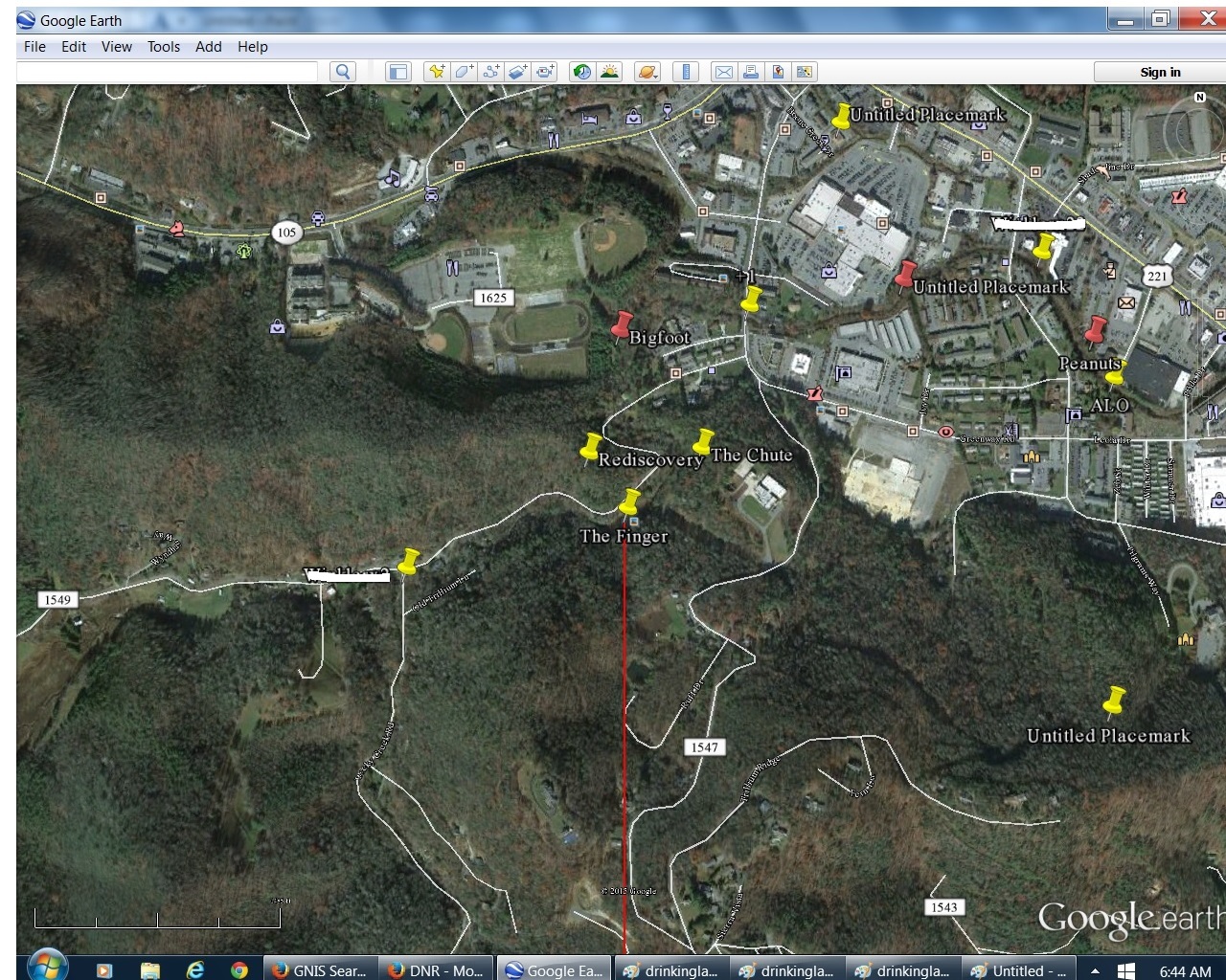
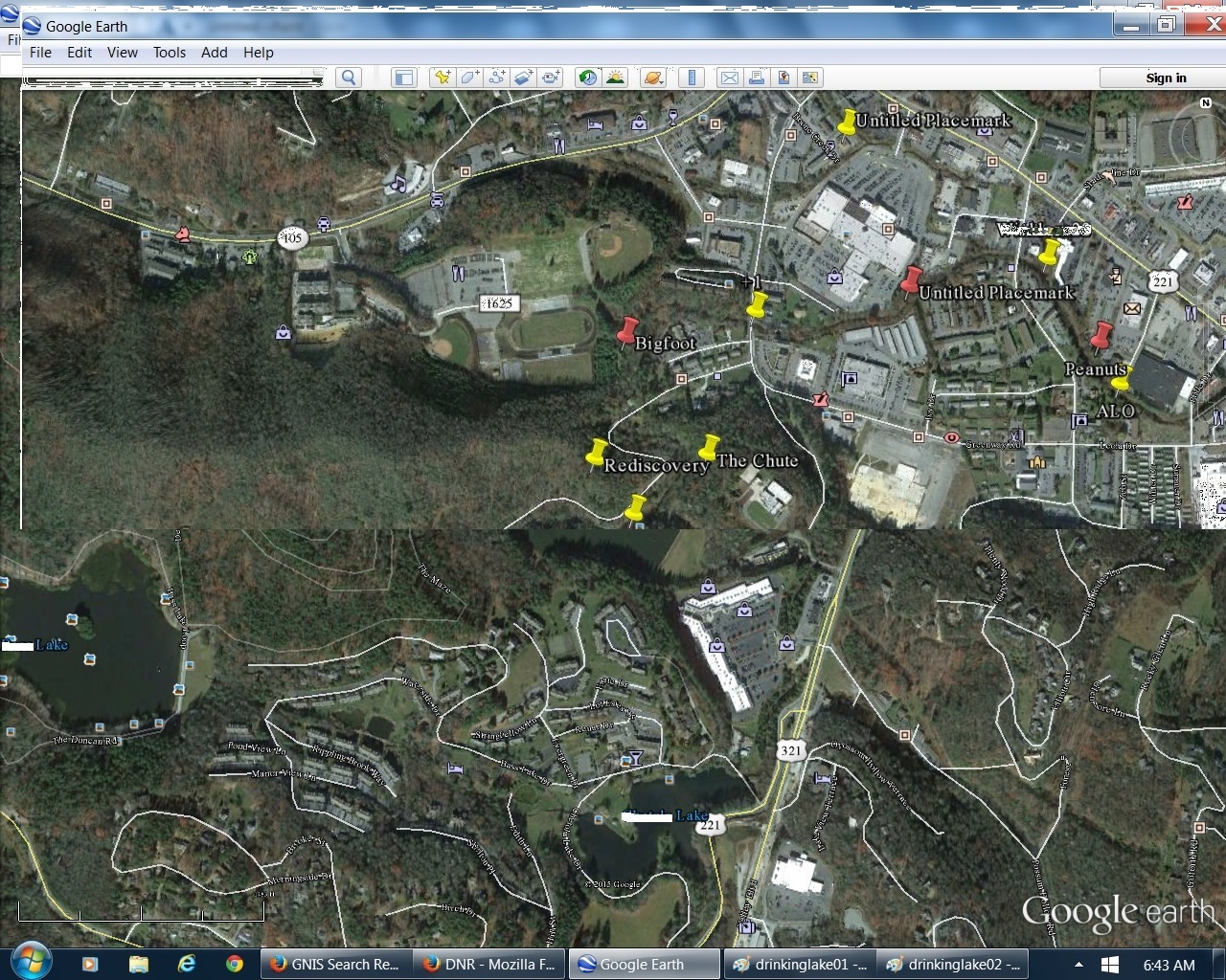
Well, let’s first explain I also found out this morning that Hand Lake (former Finger Lake once more) lies directly north of Drink Lake, and both bodies of water are sources of drinking water for their respective towns of Blue Mountain and Boulder. *Both* are drinking lakes. In the below 2 images from GoogleEarth, the position of The Finger in Hand Lake is placemarked by a yellow pin, and then a corresponding spot directly south of it in the middle of Drink Lake is similarly marked with a yellow pin. Toggle back and forth to see the overlap. The pin locations are less than 4 miles apart. I was quite surprised to find out how close the 2 pools were.
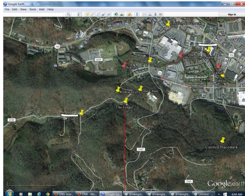
drinkinglake04b

drinkinglake03b

These are my preliminary thoughts:

The Finger formation of Hand Lake *has* to be the working of Lisa The Vegetarian. She reinforced this through the creation of a second, smaller finger-like extension from the same dominating lake island. She clearly wanted *me* to understand that this was the legendary Hand Lake, *created* but then *displaced* into the Blue Mountain area from the Boulder area. She displaced it directly north of the lake she created *in place* of it near Boulder, or the considerably larger Drink Lake. The Mmms moved in sometime after this. Hermania was created sometime after this. Mossmen learned of the location, and Herman Park as a whole.

Last thoughts for now:

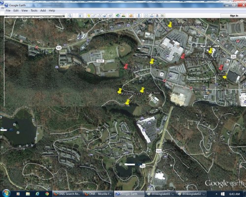
Overlapping Hand Lake and Drink Lake pins and replacing land south of former with south of latter gives the following image, where the two towns of Blue Mountain and Boulder effectively touch in the general pin regions. The 2 town water plants are also obviously a focus of the overlap; they’re also directly north-south of each other, and also “touch” boundaries in the below image.
drinkinglake05

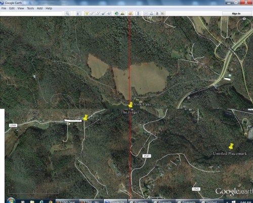
If we eliminate land *north* of Hand Lake and replace it with land north of Drink Lake instead, we get the following, with the disappearance of both towns and setting the joined drinking lakes in a relative wilderness setting….
drinkinglake06

(to be continued)

Leave a comment

Filed under **VIRTUAL SL, Blue Mountain, Boulder, Drink Lake, Hand Spring, Herman Park, Nautilus, Tile Creek, Yd Island