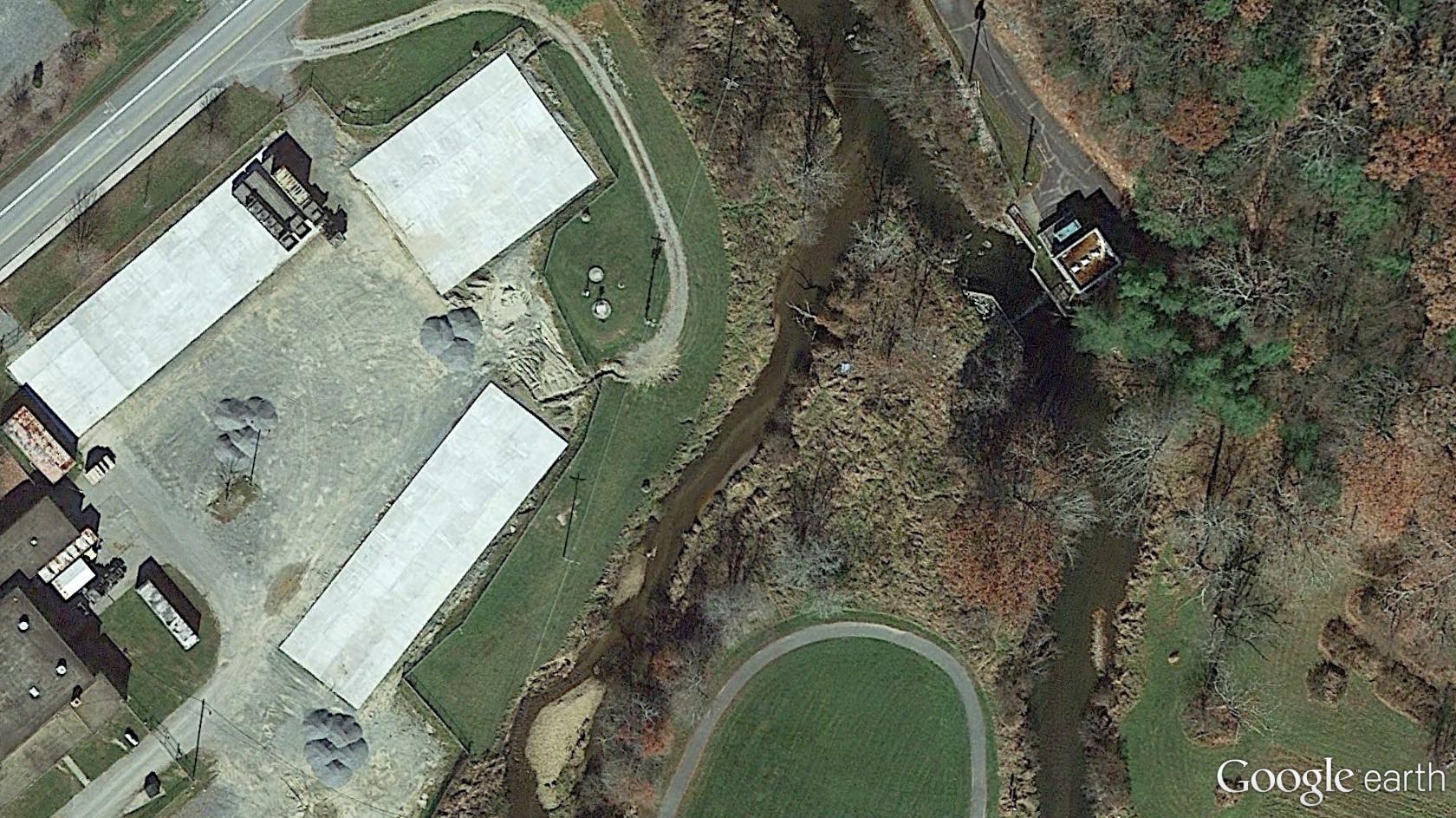
Bigfoot 03

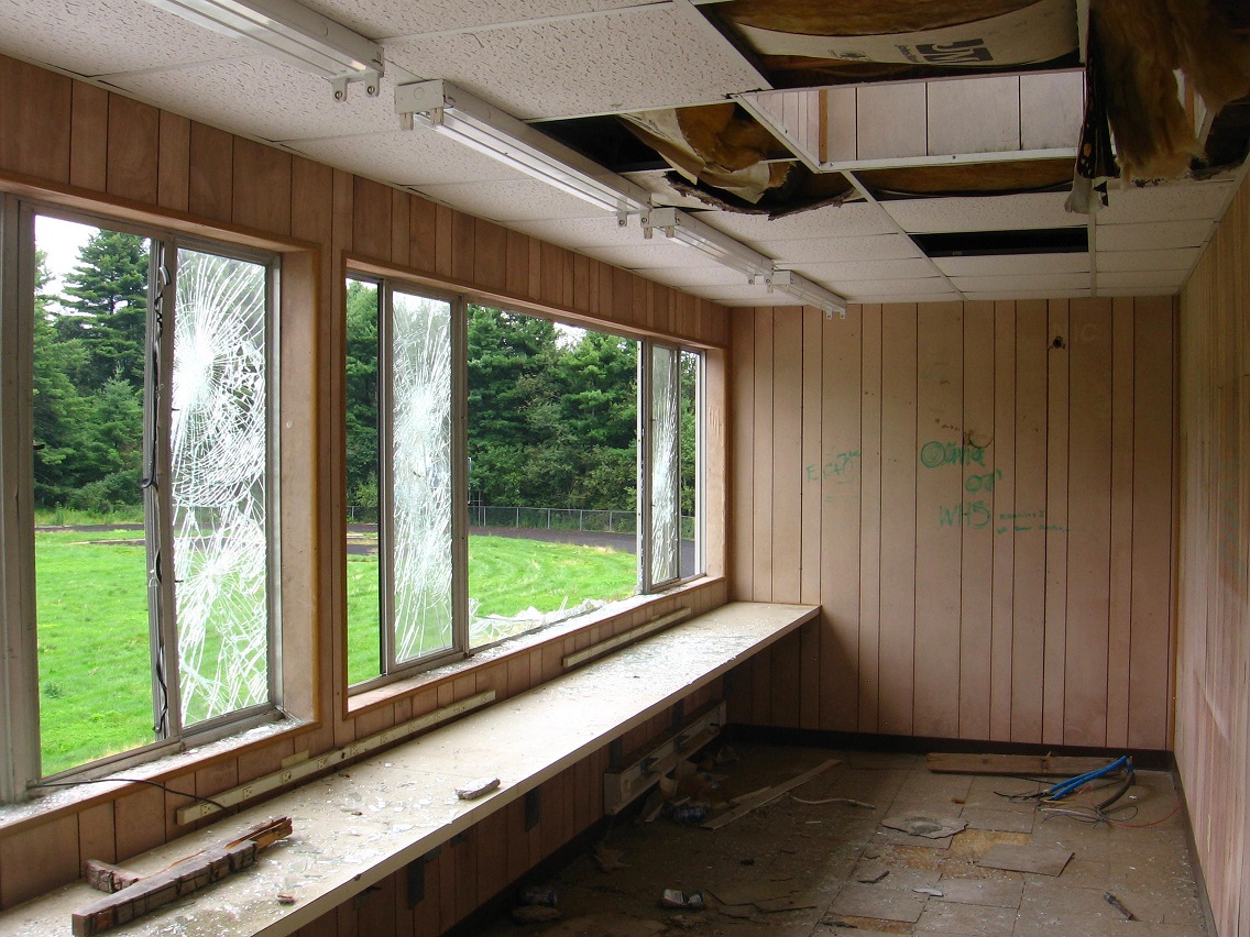
More shots from the Plateau of Raw Art.

IMG_0151smaller

IMG_0153smaller

IMG_0152smaller

IMG_0154smaller

IMG_0155smaller

IMG_0157smaller

IMG_0160smaller

IMG_0162smaller

IMG_0163smaller

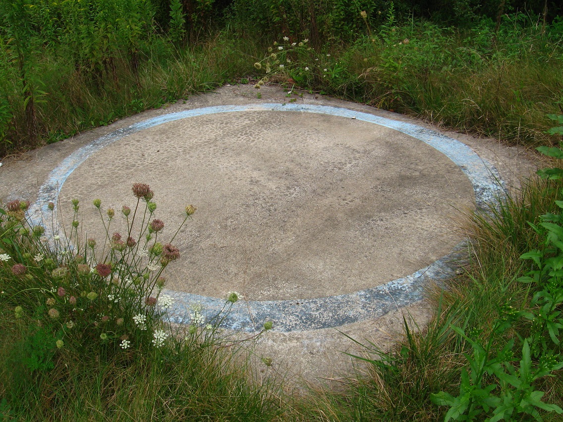
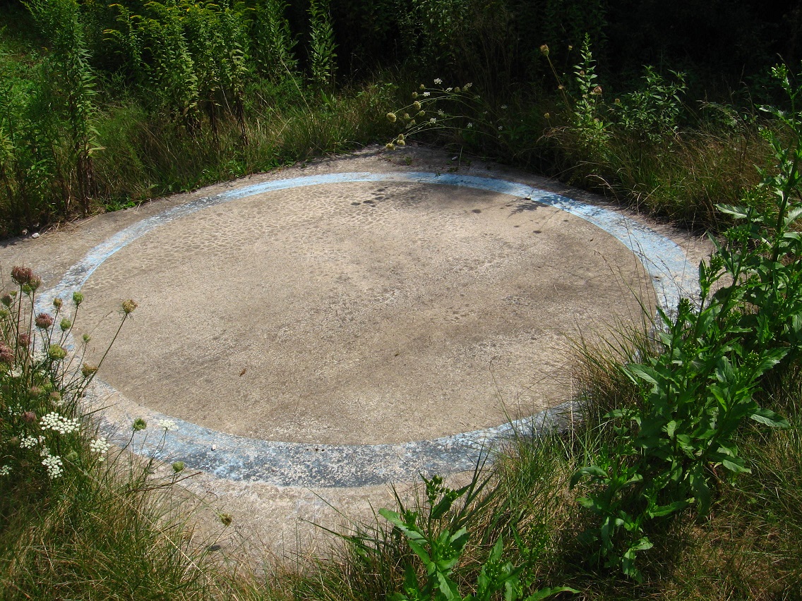
We reach the edge of Bigfeet again and its complex of roads — that I haven’t talked about at any length as I’m realizing now. There’s something quite peculiar about this sky blue circle, a doormat from the west as it were. Let’s head downhill again from the Plateau of Raw Art toward the namesake swamp.

IMG_0164smaller

1 Comment

Filed under BIGFOOT, Blue Mountain

Bigfoot 02

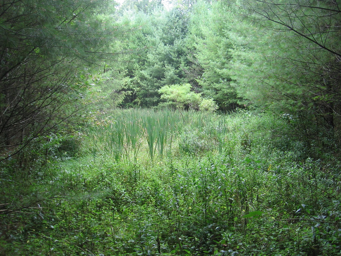
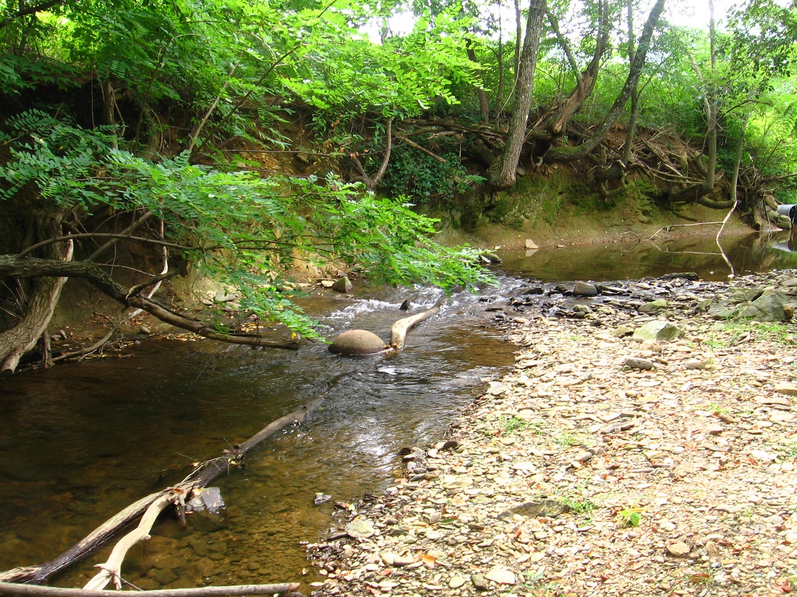
A quite nice shot looking across the big length of Bigfeet Swamp. Cattails abound.

IMG_0120smaller

Within the general Bigfeet landscape are many balls such as this Wilson tennis example. I would assume most originate from the old ball fields and tennis courts on the Plateau of Raw Art just above, which makes all of ’em pretty old since the high school was abandoned over 5 years ago. I might craft some kind of inventory soon.

IMG_0124smallest

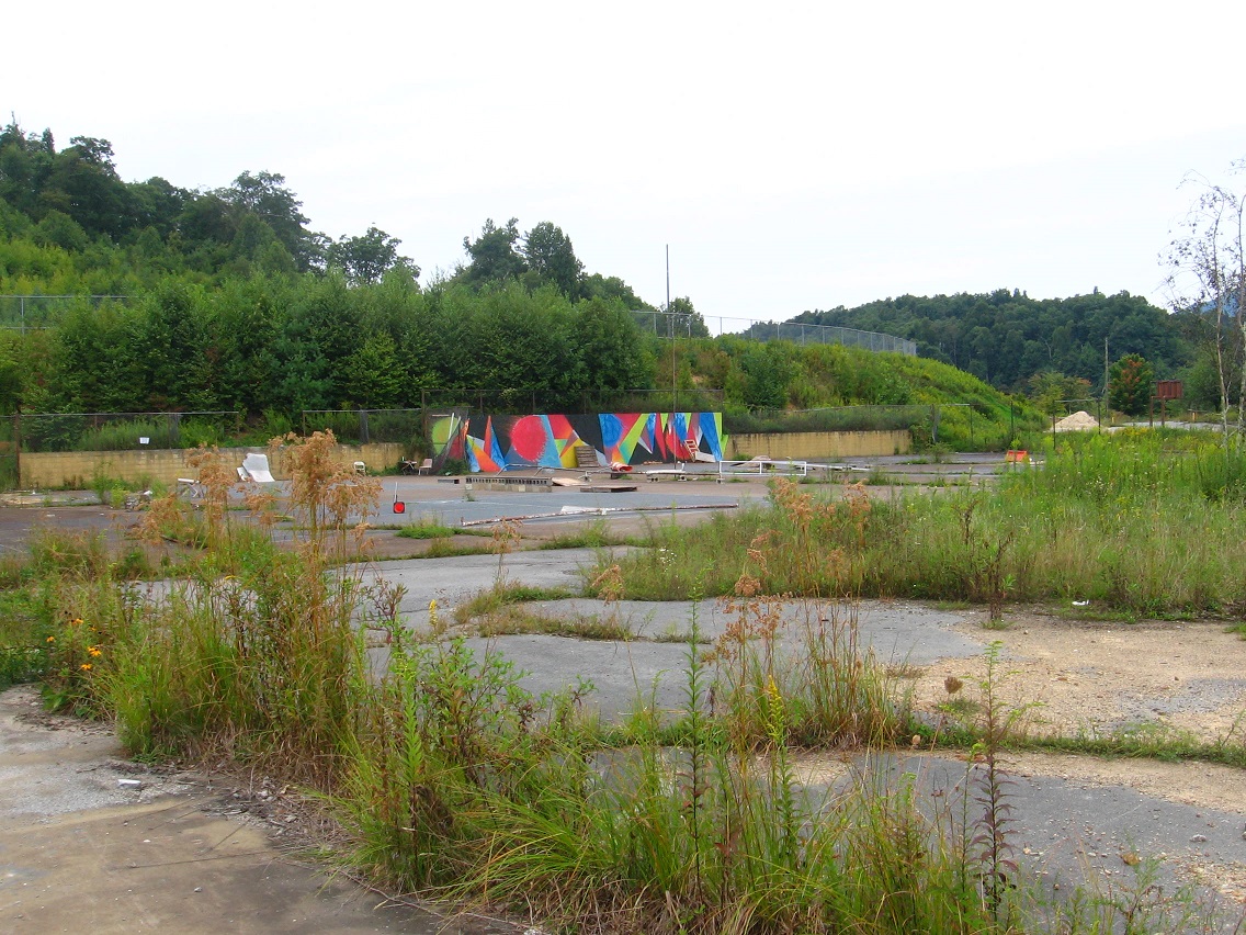
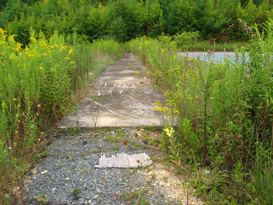
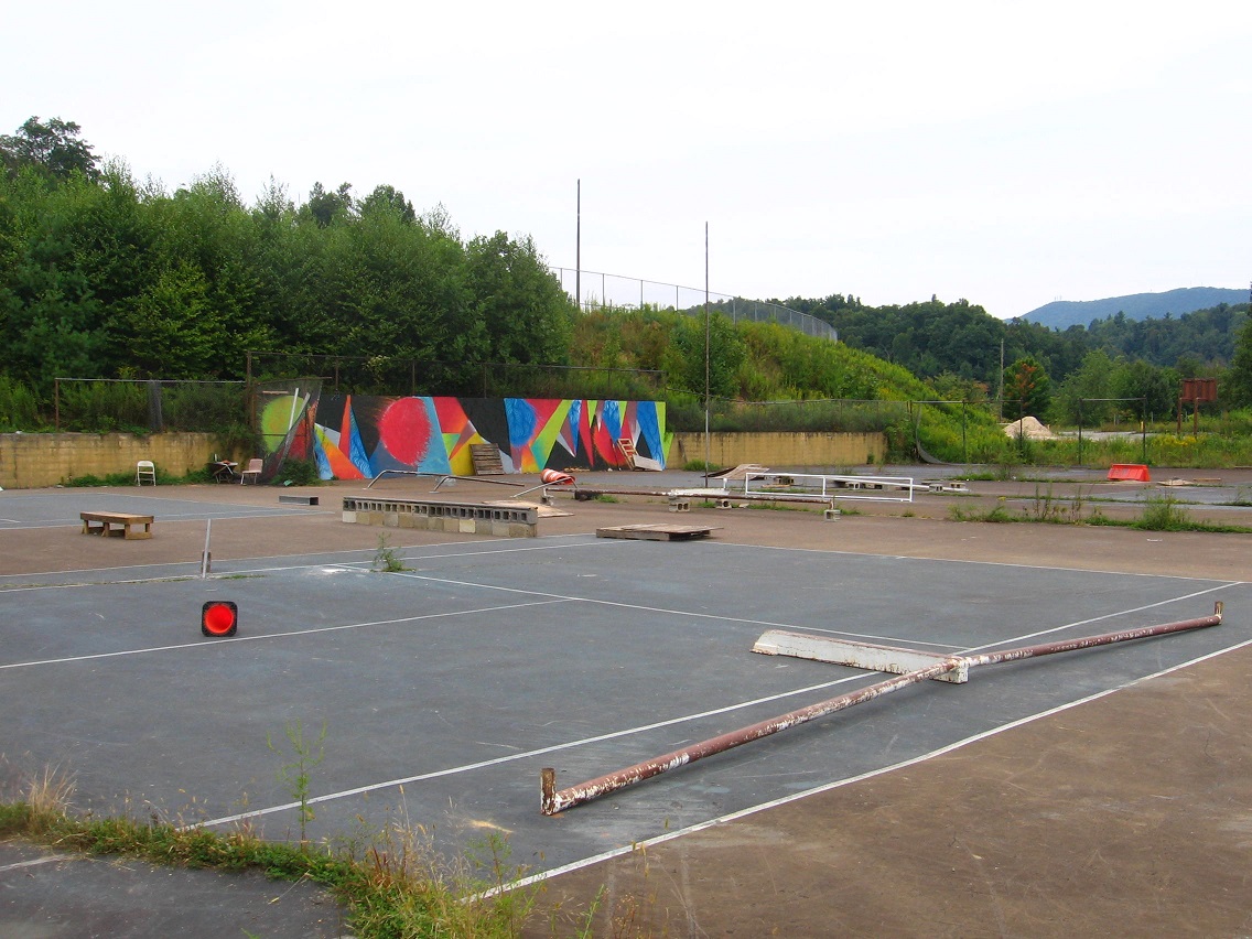
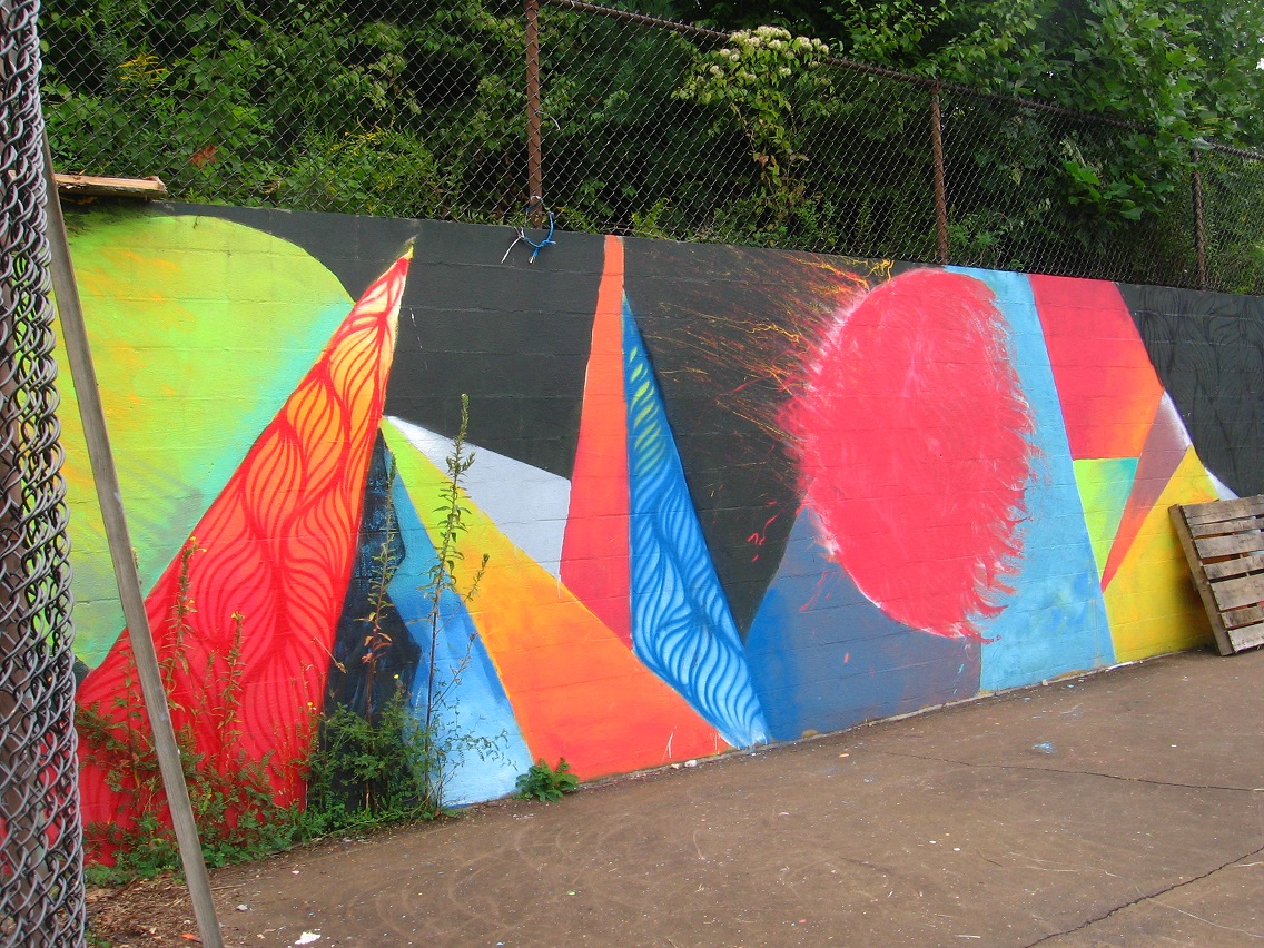
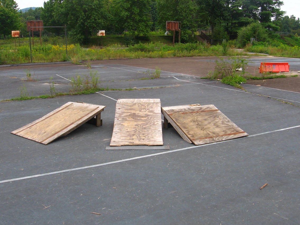
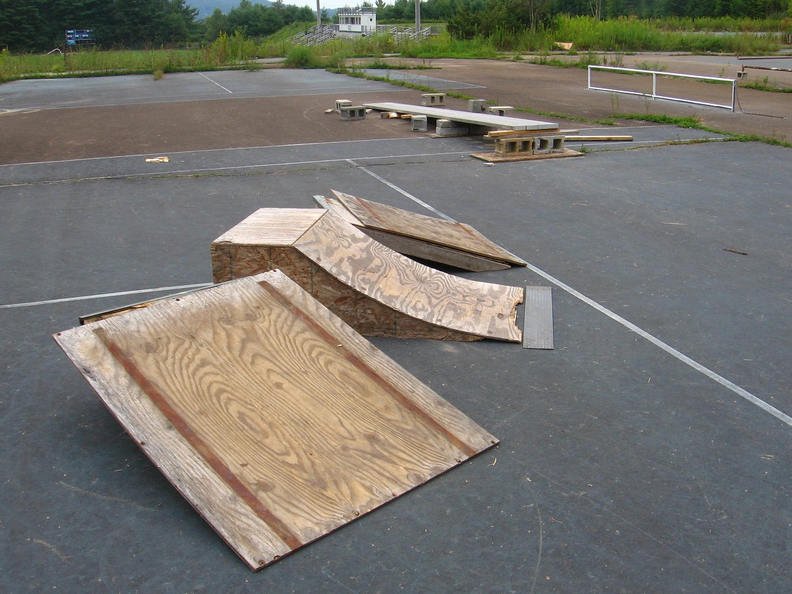
And now some more pictures from those old ball fields and tennis courts themselves. Raw art indeed here!

IMG_0127smaller

IMG_0129smaller

IMG_0130smaller

Site of the makeshift skateboarding park.

IMG_0135smaller

IMG_0140smaller

IMG_0142smaller

IMG_0143smaller

IMG_0145smaller

I especially like this picture.

IMG_0147smaller

1 Comment

Filed under BIGFOOT, Blue Mountain

BMUL End of August 02

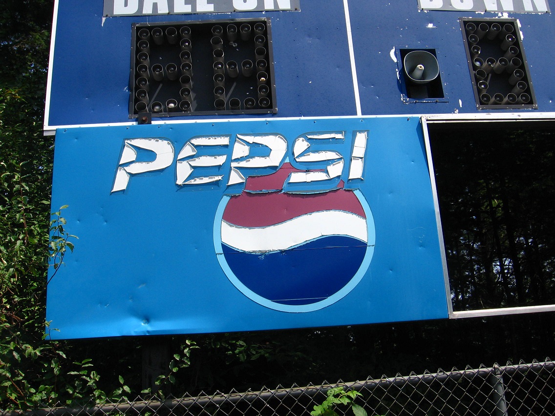
The foaming cold pepsis are long gone. The blare of the final horn signalling a win or loss a distant echo. Victories and defeats blend together in a slushy past. Sports is myopic and present intense. Kids do not worship Jimmy Foxx, Harmon Killebrew or Hank Greenburg. Or even Hank Aaron.
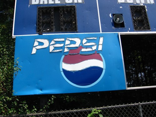
IMG_0223smaller

The football goal posts have been ripped down, having served their allotments of field goals and extra points.

IMG_0224smaller

On the very southeastern edge of the plateau: a mysterious sky blue circle. This marks the entrance into the Bigfeet metro area as I’m presently defining it. Down we go!
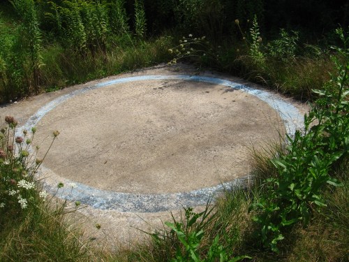
IMG_0226smaller

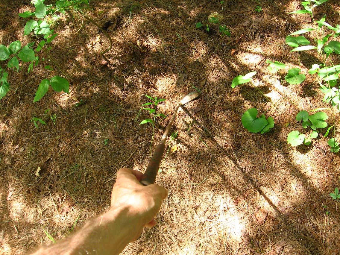
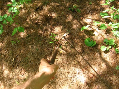
An old golf club found at the very center of the Bigfeet area, its projected “downtown”. I guess I should back up here and explain.

WHAT IS BIGFEET? A question to be asking at this point in time. Is it the site of a projected toy happening for later in September or perhaps October, a la a Lion’s Roar from 3 years ago? Could very well be, unless some other place pops up between now and then as a better candidate.

I’ve been having a very hard time creating suitable photos of Bigfeet however. I need to fiddle around with [camera] Liquor’s settings; see if I can find the manual…
IMG_0232smaller

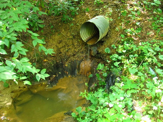
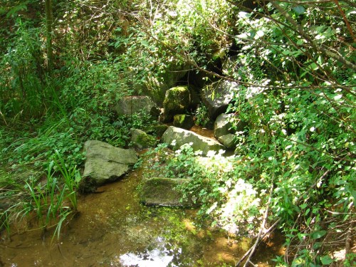
This saved shot also comes from the heart of Bigfeet, or the place where its central small stream empties into the Bigfoot Swamp via a pipe. I can see camping in the spot I take this picture from in the future. which is the same place I hold the golf club above. Near future? What kind of toys will be imported here? Will the objects mainly come from the Plateau of Raw Art directly above? Could be. I’m seeing yellow shoes…
IMG_0233smaller

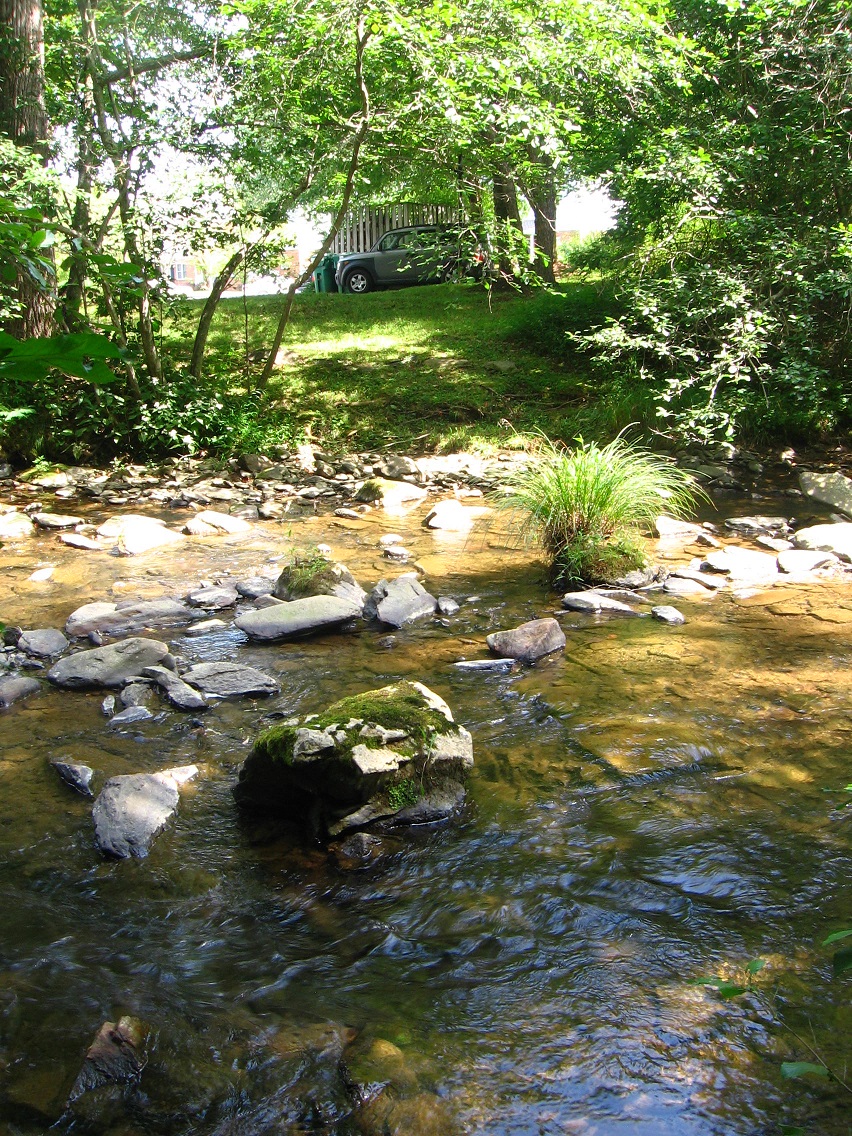
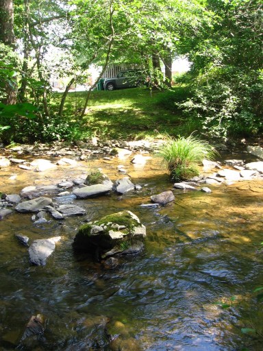
You have to cross Leola Creek to reach Bigfeet from the east — no other option. It’s getting narrower and rockier in contrast to, say, ALO, but the crossing is still tricky here. In wetter weather it would be basically impossible without wading. It almost is in dry weather. But that natural barrier of sorts would also help protect me from human intruders I would suppose.
IMG_0237smaller

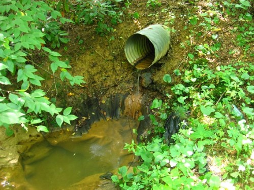
This is the Bigfeet Swamp outlet, with the stream soon to meet up with Leola about 100 feet beyond maximum.
IMG_0241smallest

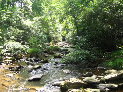
Leola Creek. You can cross it on foot. With care, because the smooth rocks within are slippery when wet.
IMG_0244smaller

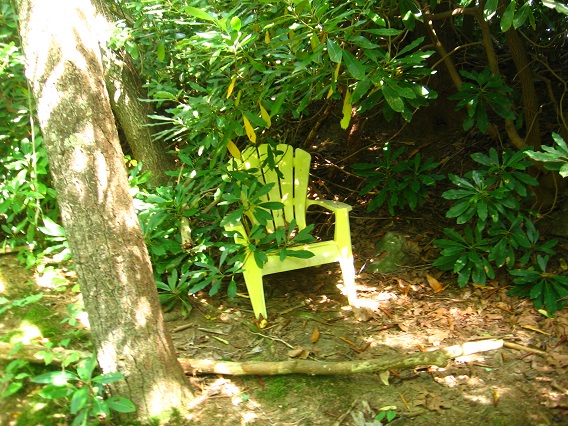
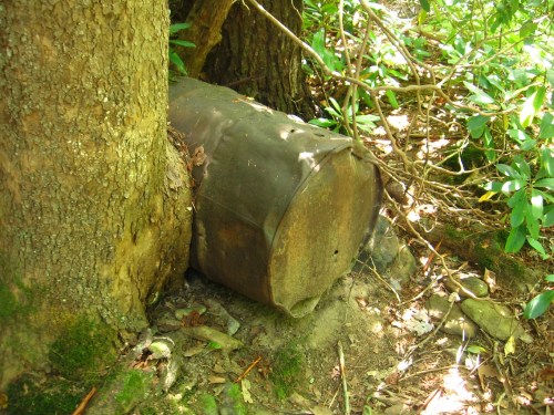
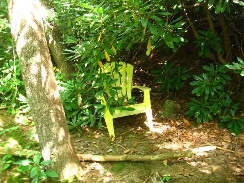
At the spot I crossed both days this weekend we have a wedged barrel and a yellow chair on the near side or Blue Mountain Urban Landscape side.
IMG_0245smaller

IMG_0246smallest

Leave a comment

Filed under BIGFOOT, Blue Mountain

BMUL End of August 01

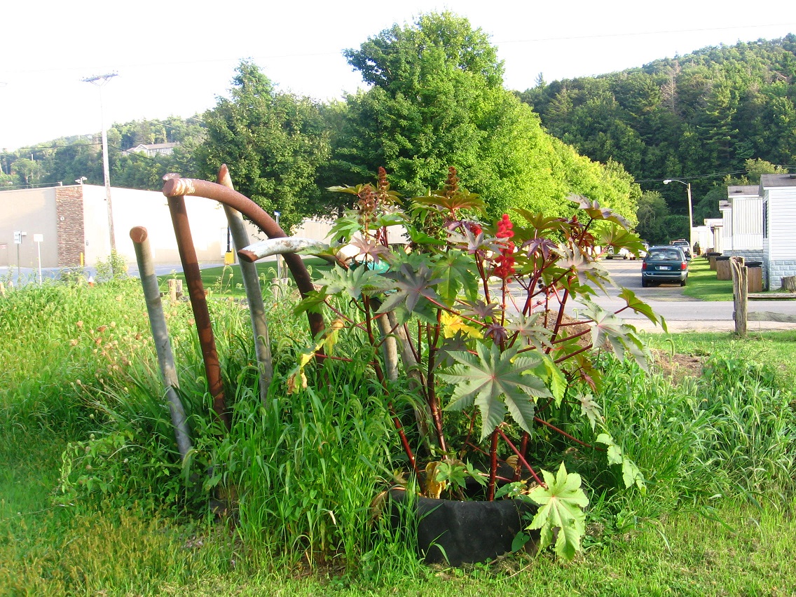
Confluence of plants and pipes marking one center of the ALO garden.

IMG_0181smaller

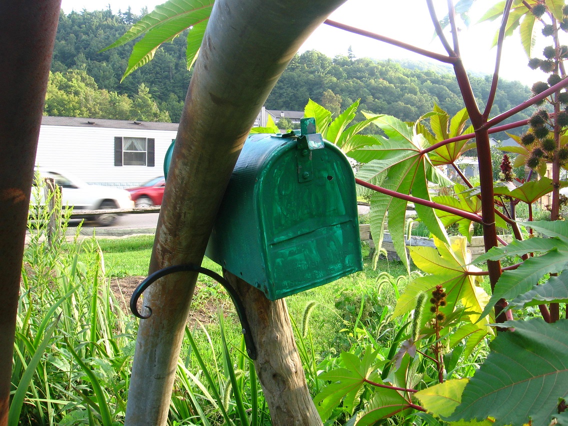
Green mailbox within. Postal portal to Oz?

IMG_0184smaller

The Hill and The Carpet House again. LINK

IMG_0188smaller

The Sphere behind the Town Mall. Mysterious! Edna (wife) also visited the location this day and took photos. She was likewise impressed. In the words of Red Dwarf’s Cat, “What is it?” And: repeat.

IMG_0191smaller

Nearby cliffs.

IMG_0194smaller

Sphere, cliffs, and rocky beach. I still don’t have a name for this area, but its obviously centered by that sphere. Edna speculates that it might have been off a post, perhaps marking the entrance to a driveway. She supposes that’s why there are 2 of them. I’m still sticking with my alien originating theory, however. 🙂

IMG_0201smaller

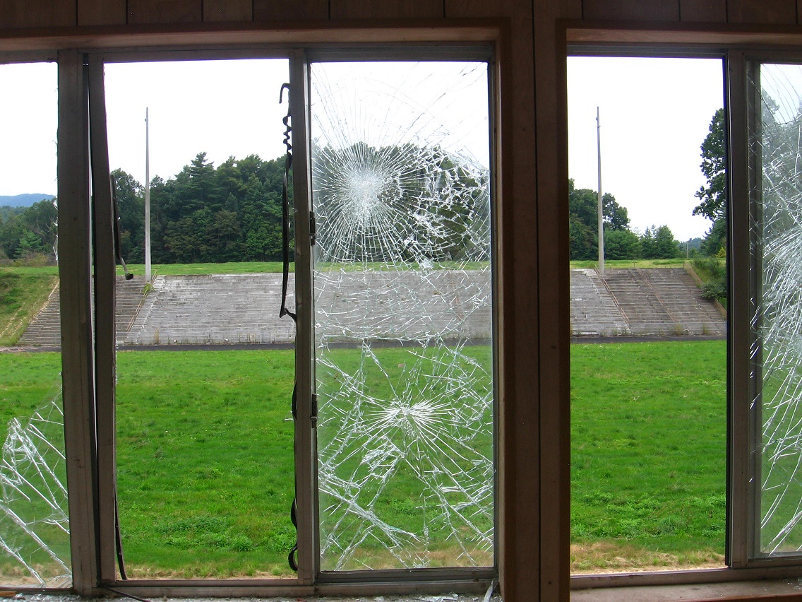
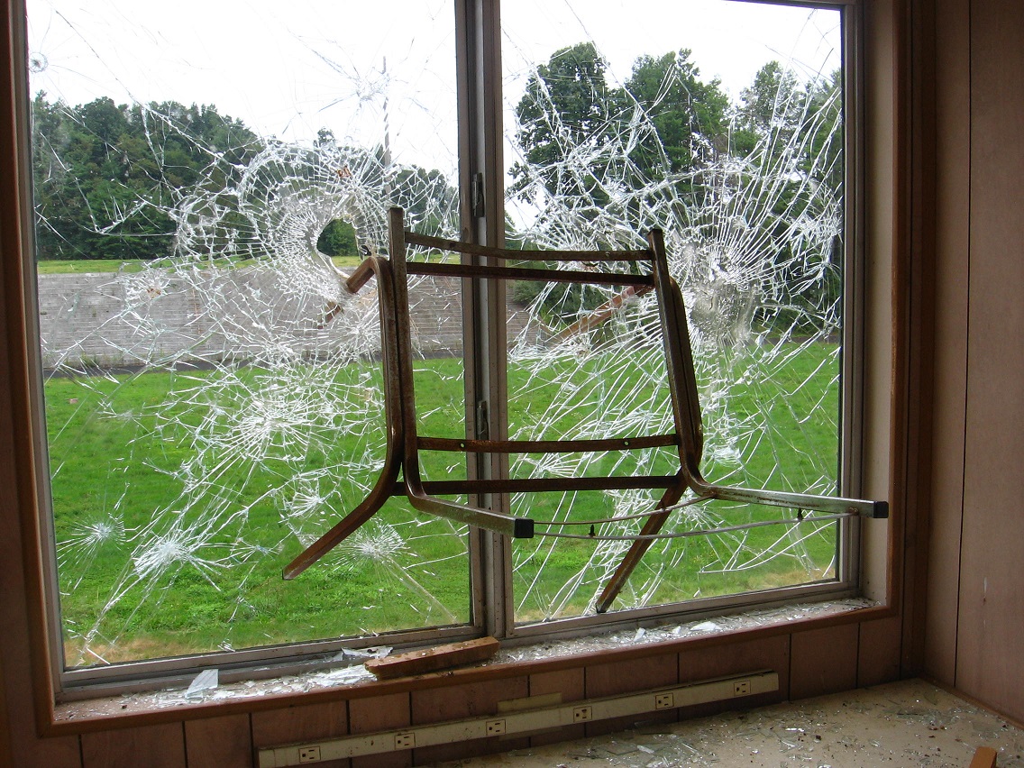
And now we come in this blog to another brand new place I already *do* have a name for. I think. Right now I’m calling it The Plateau of Raw Art. Explanations soon on that. It’s fascinating place just west of the official Blue Mtn. Urban Landscape. Or is it actually a part of this Landscape? Anyway, the plateau displays the remains of a deserted high school area, including a football stadium, 2 baseball fields, and a number of tennis courts. The high school itself was demolished, with only a grassy field remaining. In the below photo we look from the edge of one of the baseball diamonds across this very field. I kind of like the way the telephone pole obscures the top of a distant mountain peak from this angle.

IMG_0212smaller

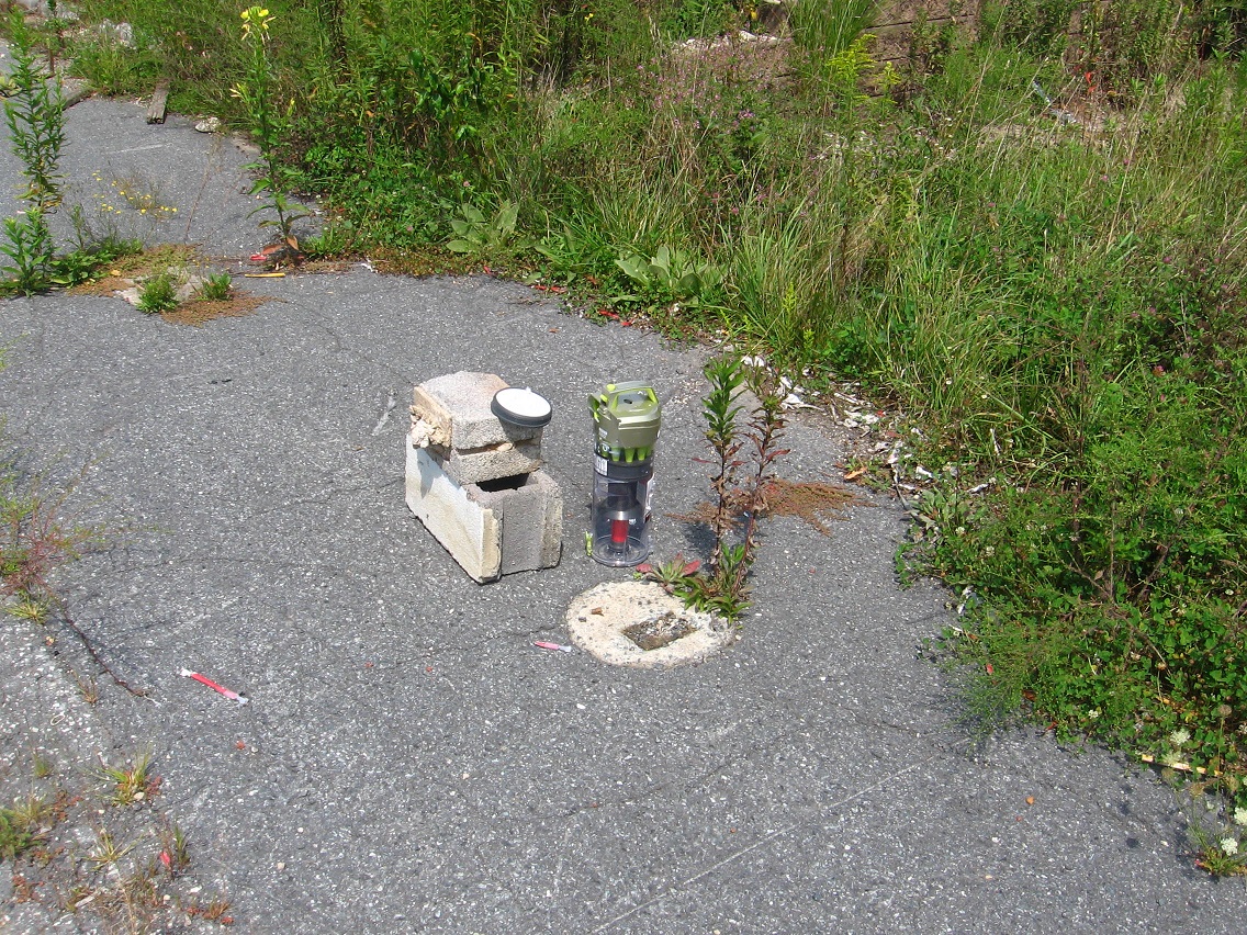
Nearby is this configuration of objects. Sure looks like some kind of raw art to me (!). But who is the artist? I’m guessing that this might be the product of a skateboarder on a break from his regular hobby…

IMG_0214smaller

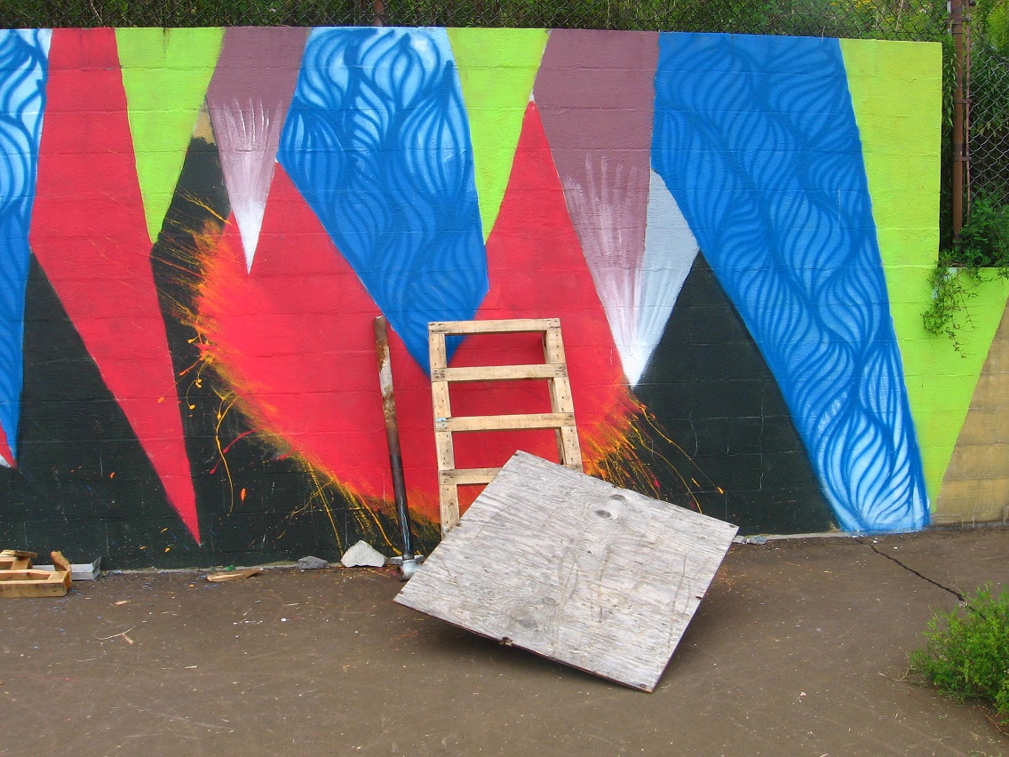
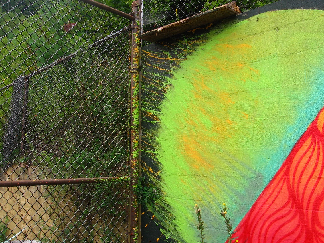
… because nearby is an unofficial skateboard park just beyond the football field, marked by a colorful mural. What an amazing backdrop for such a place! There were perhaps a half dozen skaters using the facility on this Saturday afternoon. No whooping and hollaring, however, to my relief. Just standard skateboarding noises. Thump, rumble… thump, thump. Rumble.

IMG_0217smaller

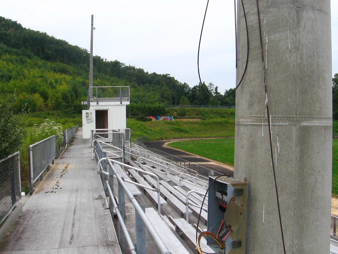
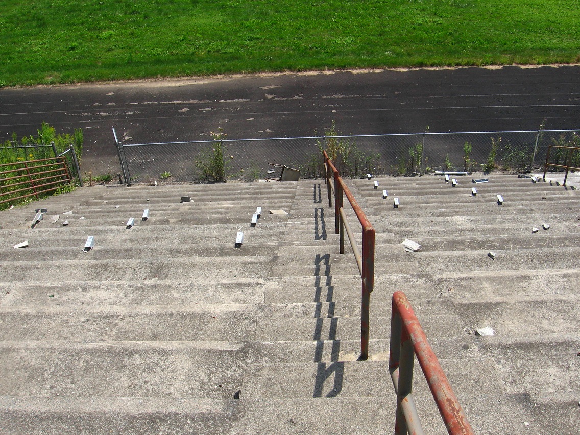
Deserted football stands, home side.

IMG_0219smaller

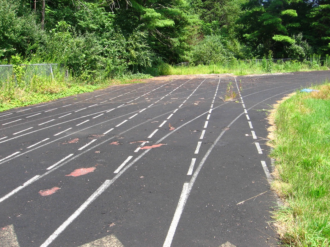
Listen closely and you can hear the ghostly clomps of track runners past.

IMG_0220smaller

Leave a comment

Filed under BIGFOOT, Blue Mountain

Bigfoot 01

100 Foot Swamp:

bmul010

8/31/15:

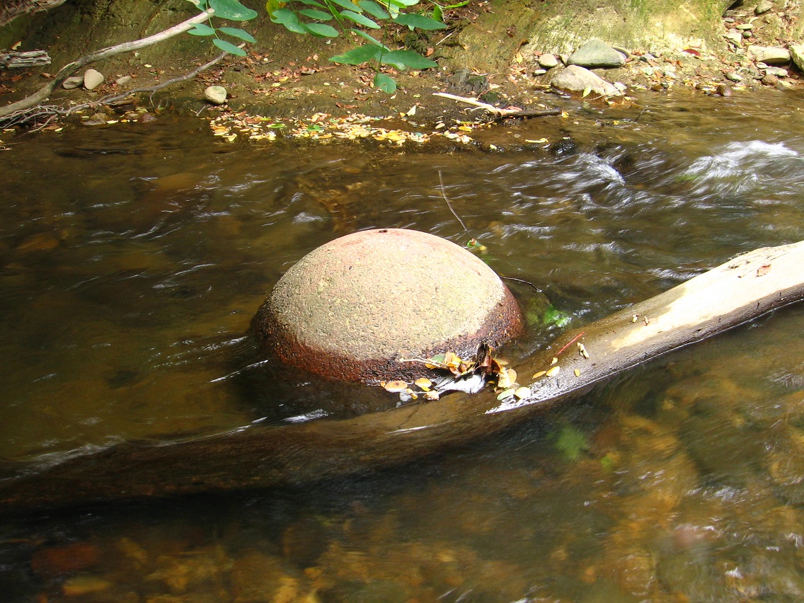
100 Foot Swamp has been renamed Bigfoot Swamp, a natural transition (it has a “big” feet of length). The projected town or “toy happening” around it becomes Bigfoot then, most likely, with a center near the northern part of the marsh, where a feeder stream enters it via an uphill pipe.
The only US population place named Bigfoot presently is in Frio County, Texas. The general area of this village has already been seen in a map displayed on this blog from May 2014 called “Strange 01″…

https://bakerbloch.wordpress.com/2014/05/15/strange-01/

There I discuss the conjunction of two towns in Medina County to the immediate north of Frio, or Noonan and Devine. Glenn Strange plays the bartendeer Sam Noonan in the long running western seris Gunsmoke featuring James Arness and sheriff Matt Dillon, an icon for our time. The town Noonan in Texas is one of only 2 in our US of A, the other being in Divide County ND and near a *Strange* Siding. Noonan and Strange conjoined again. Near Noonan Texas is a city called Devine. There are only two pop. places of that name as well, with the other being in Colorado near a Vineland, and itself having a variant name of Vineland according to the GNIS database.

Notice several things here in addition to the stuff I outline in the “Strange 01” post: Divide (County, ND) is almost an anagram of Devine. I now work with a guy named Devine, who is sort of my boss as I perceive him. He cryptically emailed me several times on the weekend I discovered the Bigfoot Swamp. Now I find the only US Bigfoot conjoined with the only incorporated US Devine, and the only one of any significance. Bigfoot Swamp, a natural area bordering the Blue Mountain Urban Landscape and what could be considered a direct extension of it (that’s how I view it anyway), can stand for the event *furthest* away from this Urban Landscape in the Blue Mountain area, or the encounter with a Bigfoot like creature in the furthest recesses of Frank and Herman Park the winter of 2012/2013. This is an encounter with a completely *alien* culture, seemingly, and as far away from humanity as you can get. It is non-human. It creates not stuff we humans consider normal, like roads and houses and malls and hospitals and HugeMarts. So the near Bigfoot (Alpha) overlaps the far Bigfoot (Omega), and perhaps in ways I cannot understand yet (involving Devine?).

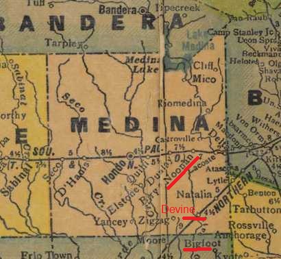
On the below map we see the close conjunction of Noonan, Devine and Bigfoot in Texas, with the word Devine strangely absent on the map despite being a town of significant size. Represents the soon absence of the other Devine? Maybe. If so, what name will take its place? Is that written out in maps as well?

MedinaCountyTexas1940sb

Bigfoot, Texas:

https://en.wikipedia.org/wiki/Bigfoot,_Texas

Leave a comment

Filed under BIGFOOT, Blue Mountain, Colorado, MAPS, North Dakota, Texas

Roach 02

A picture taken from almost the exact position marked in the first photo of the post immediately before this. Needless to say I didn’t take it from Roach Missouri. I snapped it because of the interesting perspective of The Hill we have here (center background), juxtaposed with the faded sign of “The Carpet House”.

IMG_0188smaller

roach03
The House on The Hill 01

Instead of moving to The House on The Hill, we have to eventually visit The Carpet House, which acts as a stand in here for our present house (The Home on The Ridge). We have to carpet our present house.

1 Comment

Filed under Blue Mountain, MAPS, Missouri

Roach 01

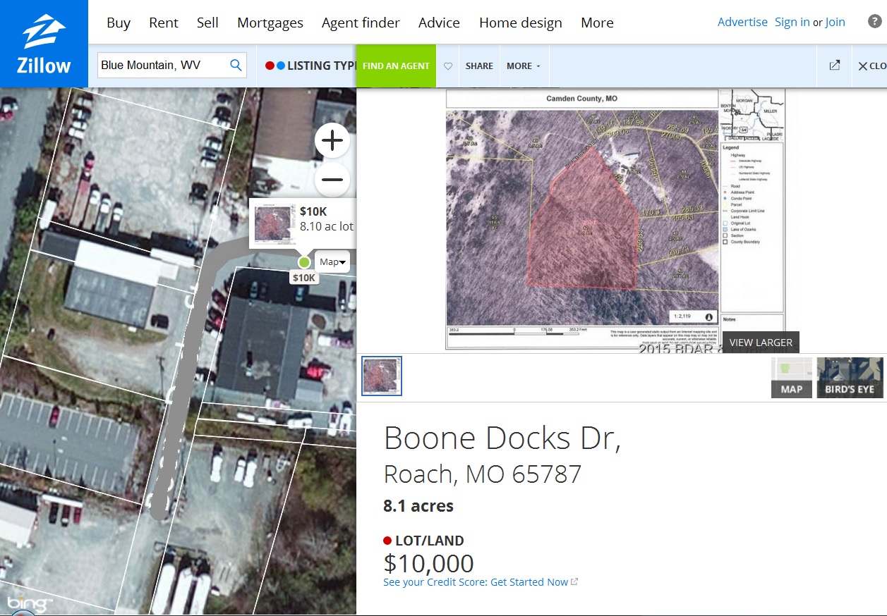
roach01

https://en.wikipedia.org/wiki/Roach,_Missouri

Camdenton contains the same number of letters as Chameleon, and both start with a “c” and end with a “on”. Certainly this 8.1 acre piece of property is disguising itself within a listing 1000 miles away(!). But why? The most logical guess is that it reinforces the name Roach in the area, as in my former manager at the Maynard Jackson cafeteria. Impossible, you say? Let’s look at the place name Roach across our fair US of A…

Well do you, fair *reader*, remember that not one but several maps of this same Camden County are featured in a post of the old Baker Blinker blog? I just did. It’s also mentioned in the 2014 hybrid document “Map Sinking Feeling” — you can just do a search for “Camden” within the full text version to find it (connected there with a perhaps also imaginary Winona Falls).

I think we could be starting down one of those bunny trails rabbit holes again into hyperspace/time, turning the world upside-down as it were.

—–

In looking up Roach Missouri on topo maps, quickly found a *Laugh*lin Cemetery to the east, and then almost directly across the lake (Lake of the Ozarks) from it, a *Ha Ha* Tonka State Park. Are the hyperspace/time “rabbits” having a hearty giggle with the disparate Roach locations?

Ha Ha Tonka State Park history:

https://mostateparks.com/page/54968/general-information

Interesting that the “Boones” were there, since we have overlapping roads named Boone Docks involved in our Zillow generated map paradox.

Sounds like a fascinating state park! Several sinks within. 😀

hahatonka_castle_1930's_600dpi_cropped

2 Comments

Filed under Blue Mountain, MAPS, Missouri

Notes

Well… the deal for a quick sale of the house fell through. And with it we’ve decided to stay put through the winter. Our house is cozy during that season, and we understand the quirks of the roads here in the snow and ice. Instead we’ll make it into the late winter or early spring before setting the house up for sale, probably through a realtor this time. And we plan to make some *repairs* to the house ourselves. Tomorrow I’m still going to work on the gutters as I had already planned. The deck can wait until late winter/early spring. We’re going to try to make it through another winter with that as well. We’re going to fix the downstairs bathroom up to make it usable again. We’re going to get more organized in terms of papers and books and such. We’re going to get new carpet — stain resistant because of the cats. And we’ll be *okay*. The House on The Hill may still be waiting for us in the spring. It’s sat there for a year already, unsold. And we have time to look at other houses, and get to know various neighborhoods around here better. We’ve looked at the outside of a number already, and haven’t been nearly as impressed with any of ’em in comparison to The House on The Hill. We’ll go visit it, and make sure it’s okay and gets through the winter for us. We know it’s there. We know we still want it. It’s just there was no shortcut to get from this place to that place. We had to take the normal route.

We have to sit down and start *planning* our retirement years. Expenses and shut.

In terms of creativity, I’m going to go ahead and start making it a priority to protect the carrcasses. I know that’s the best art I’ve done, along with perhaps the collages. But probably the carrcasses, since they’re such time capsules and summarize certain cultural patterns in unique ways through this “platinum style” tiling method I’ve refined down through the years now.

Leave a comment

Filed under Blue Mountain

BMUL in GoogleEarth 01

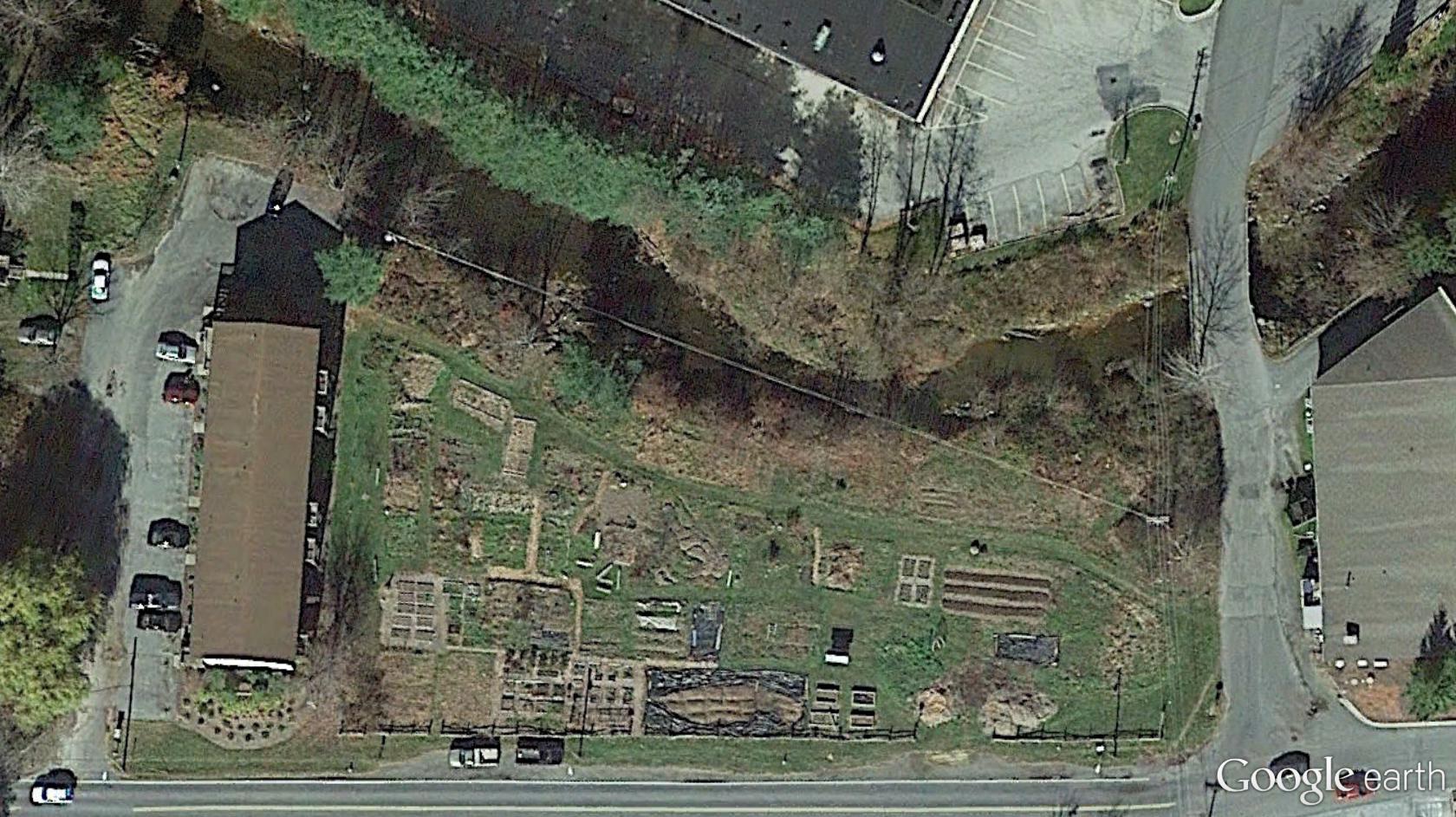
East AOL, with Leola Creek running across the photo northwest to northeast.

bmul01

West AOL. This is also what I’ve been calling Peanuts in the Sunklands blog, an important location and perhaps home to several deer as well. Hemmed in by society as it were, in a pocket reality.

bmul03

Still moving up Leola Creek, we now come to the meeting between it and Blue Mountain Creek (right), of about the same volume of water apiece. A true fork in reality. Below this point it could have just as easily been Blue Mountain Creek instead of Leola Creek. Can we visit this parallel world, ala a Fringe event? What would be the differences between the two, if so?

bmul04

We keep moving up Leola past the important fork with Blue Mountain. We’ve reached what in former days was called the Maynard Jackson Mall (left), now just called the Town Mall. Why the change (I ask myself)? In the mid-1980s, I use to work for Maynard Jackson personally, although via an intermediate boss known as Roach. Now I find out that a piece of property actually in Roach, Missouri is supposedly for sale on a street just west of the mall, at least according to Zillow. Obviously this cannot be. Let’s examine that illogical situation more here LINK.

The larger rocky beach with one of the two mysterious spheres in the creek is almost dead center in the below photo. Again, I believe you can faintly see the reflection of this sphere in the photo as well. But like Uranus it’s hard to spot. LINK

bmul05

The grassy area (center) containing Canine and Molar Pools from GoogleEarth. We are almost directly south of the photo just before this one. Hmmm… more collage possibilities?

bmul06

And then we just keep continuing west along Leola Creek, reaching the geodesic domed church and the picnic areas across the stream from it that include the 6 sided table and also matching red and blue tables we’ve seen before in this blog.

bmul07

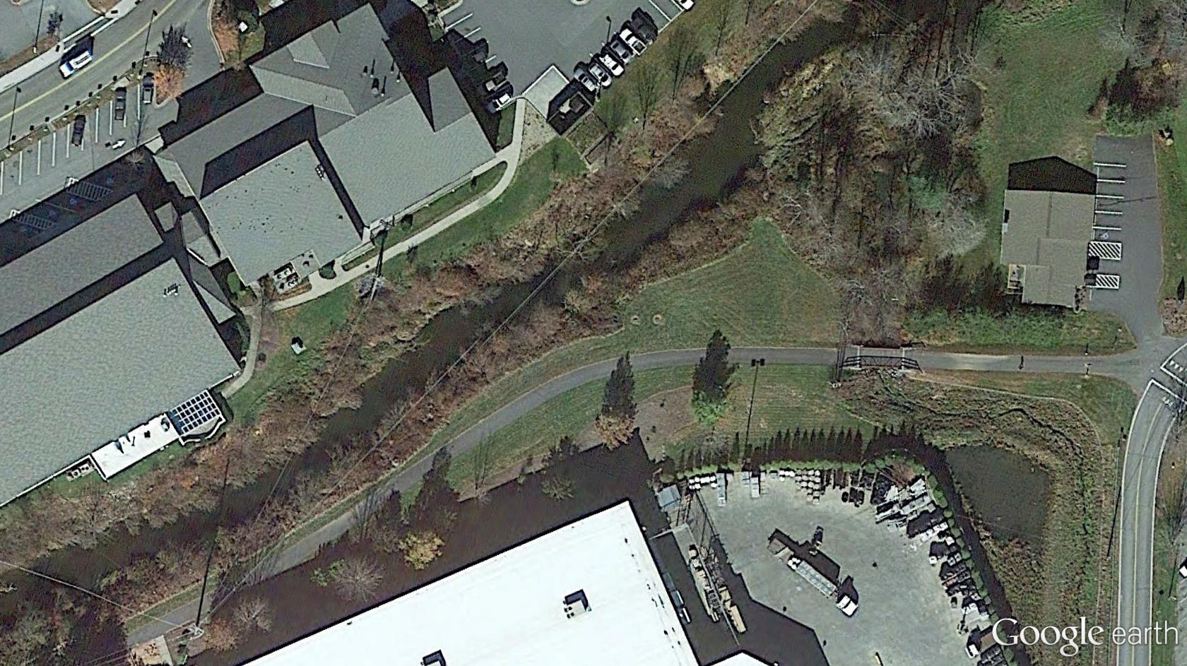
In the center of this particular photo: Point-0, marked by a prominent Blue Mountain bridge spanning Leola Creek. We’re about a third of a mile east of AOL now, heading downstream on this waterway instead of upstream.

bmul08

The greenway trail that starts just beyond the eastern border of AOL continues to parallel Leola downstream past Point-0. The pool in the lower right corner of the photo is pictured here LINK.

bmul09

Mouth of Leola and an ending loop of the Blue Mountain greenway system.

bmul10

Leave a comment

Filed under Blue Mountain

Carr.:

You must be open. Listen. I told you correctly about the interview. Billfork then Head Trip then Foreign One and that’s it. That’s it. Listen. Energy spot. Built there on purpose. Deers know. Worth it. Be practical in the next purchase, the one adhered to the reverse mortgage. This one’s a dice roller. Roll with it. Worth it.

Leave a comment

Filed under **VIRTUAL SL