BL Urban Landscape Again

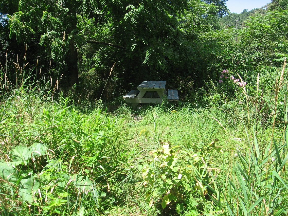
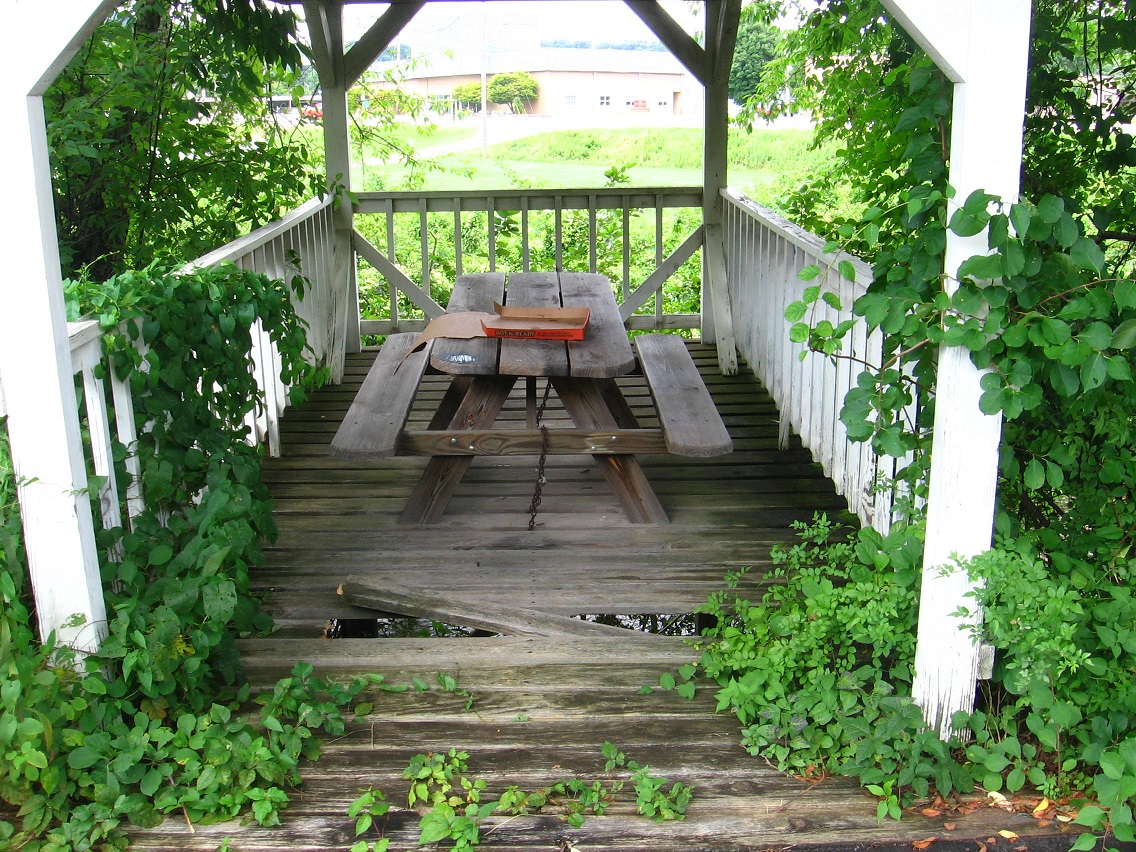
Picnic table near Point-1 is getting more rickity. Pizza time! Maybe they didn’t like their pizza and pitched a fit there. Put their foot down about it, ha.

IMG_0009smaller

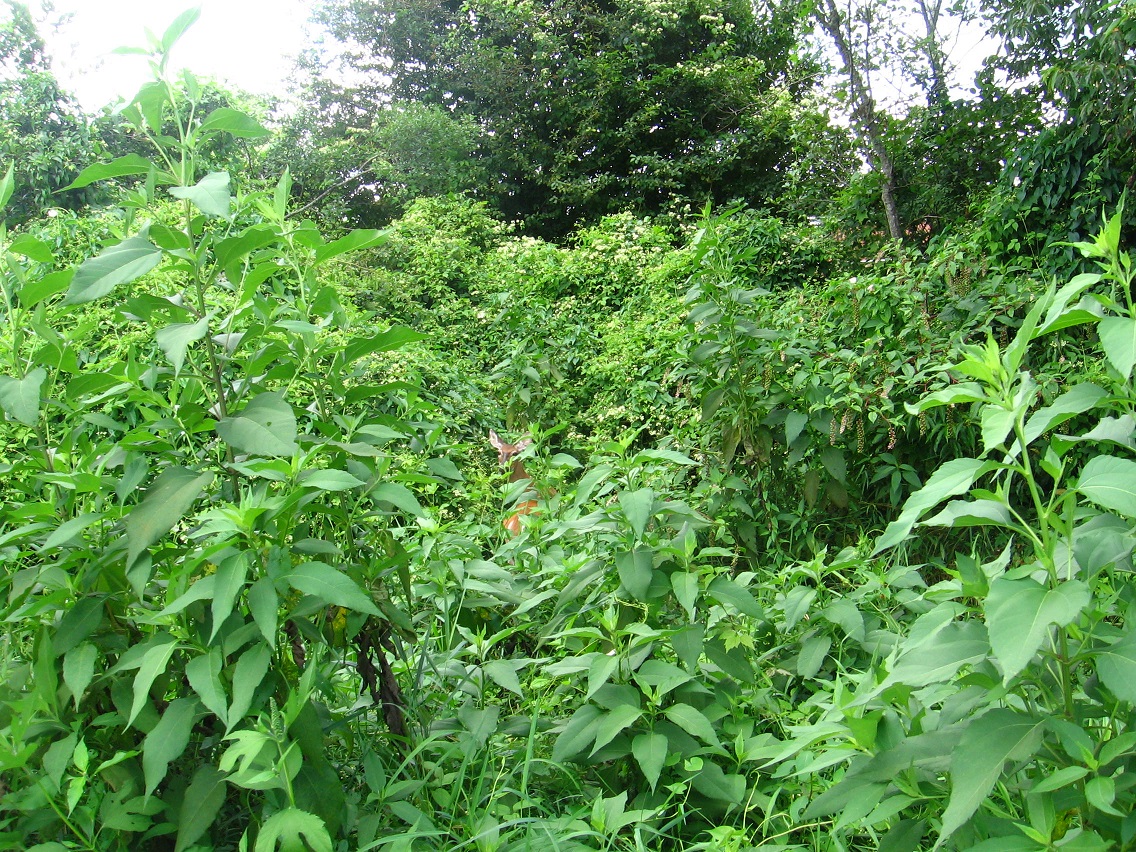
There’s that deer again! And in the same exact spot. LINK I’ve seen quite a number of deer now in the Urban Landscape. Surprising since there’s so relatively little of the woods there. Deers adapt.

IMG_0011smaller

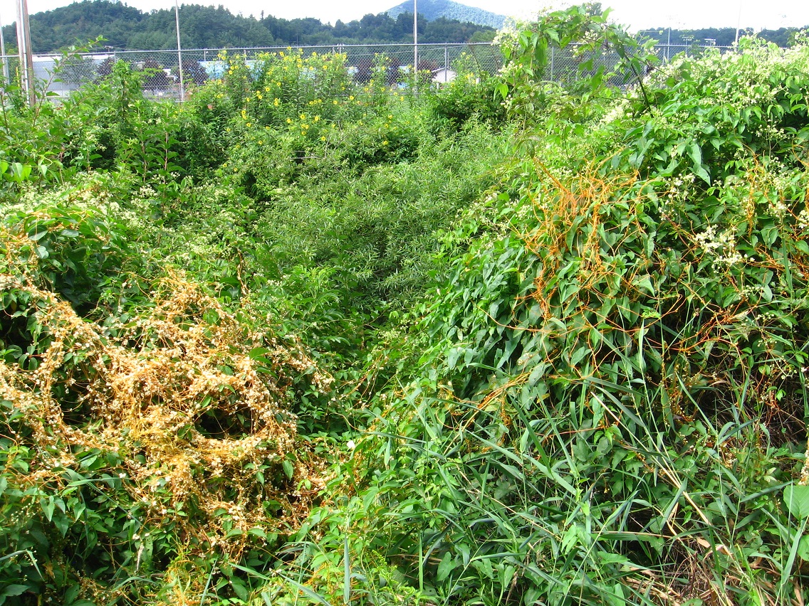
I believe this stringy yellow plant is called Golden Dodder, a parasite.

IMG_0015smaller

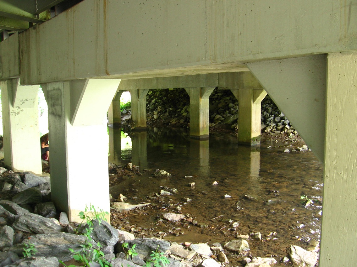
I took this picture beneath the Point-0 Bridge and didn’t realize the woman to the right (between columns) was sitting there beside the creek until a minute later. I’m not sure what she was doing, but later I spotted plants arranged on a rock near where she was sitting. Offering to the creek?

IMG_0024smaller

Green. Just green.

IMG_0025smaller

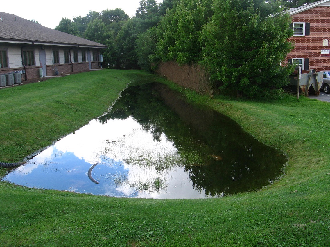
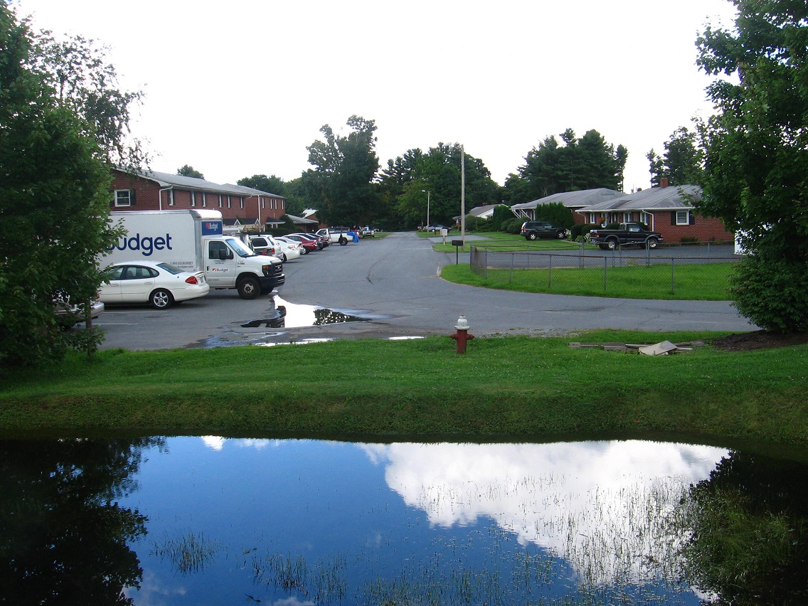
Canine Pool has been filled to the brim with recent rain. We’ve had some downpours lately.

IMG_0027smaller

It’s obvious that during heavy rain Canine Pool spills over into the road, perhaps flooding these apartment houses at times. Not wonderful.

IMG_0028smaller

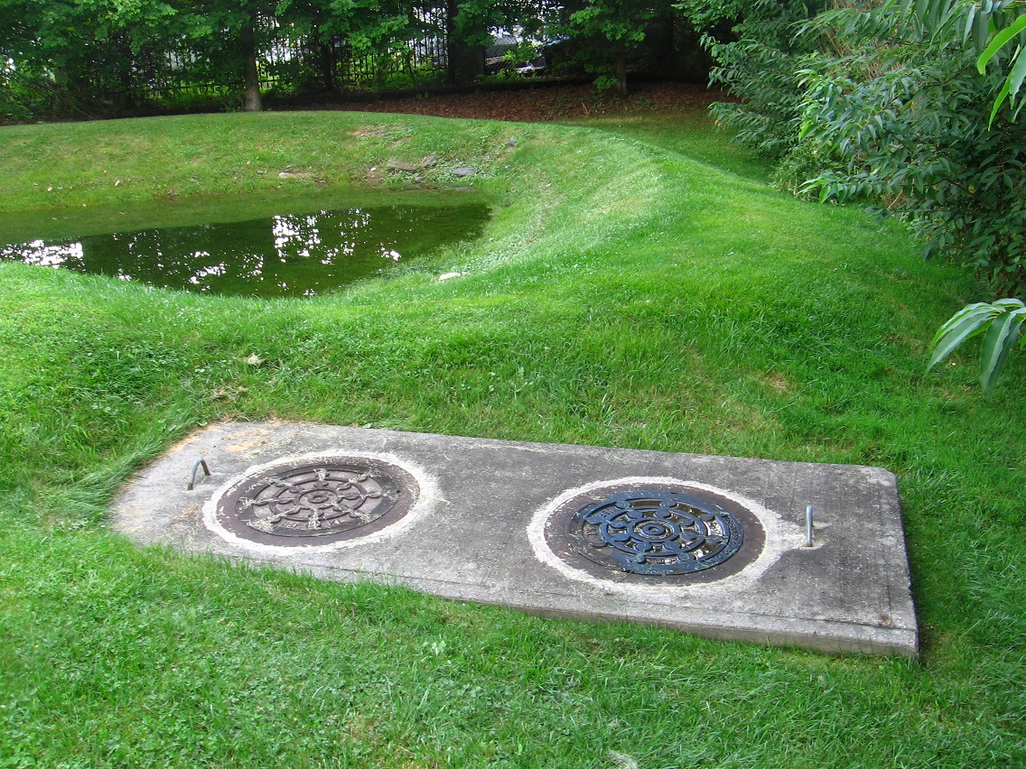
And this day I was very excited because complementary Molar Pool was also filled with water. It’s shallower still of course. I’m not sure why one manhole cover in front of it is colored blue. Is this symbolic of the pools themselves which it’s positioned between? One blue (with water) and one not usually? Who knows what messages the Urban Landscape taunts in our face to recognize?

IMG_0029smaller

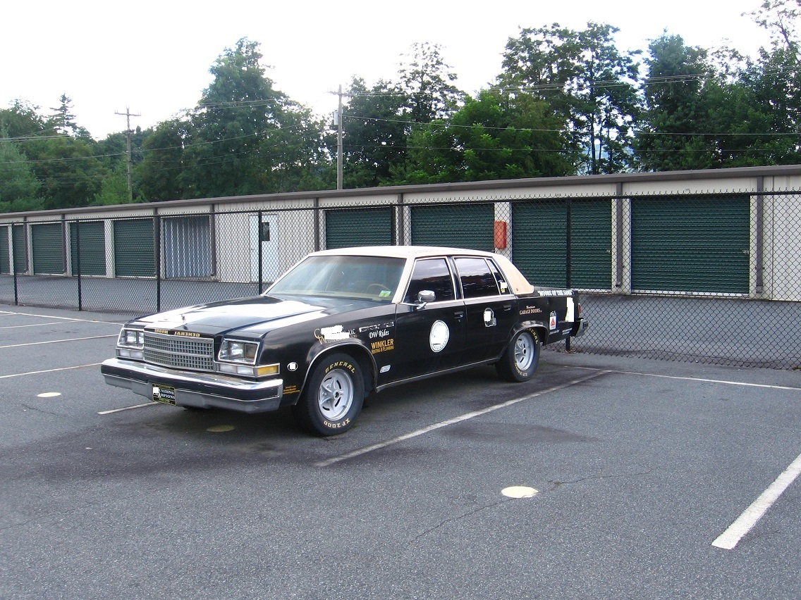
This is a car nearer Point+1 celebrating the life of a famous Blue Mtn. State College football coach. I’m not sure why the car is painted dark brown instead of blue. Oh… blue paint again (!).

IMG_0035smallerb

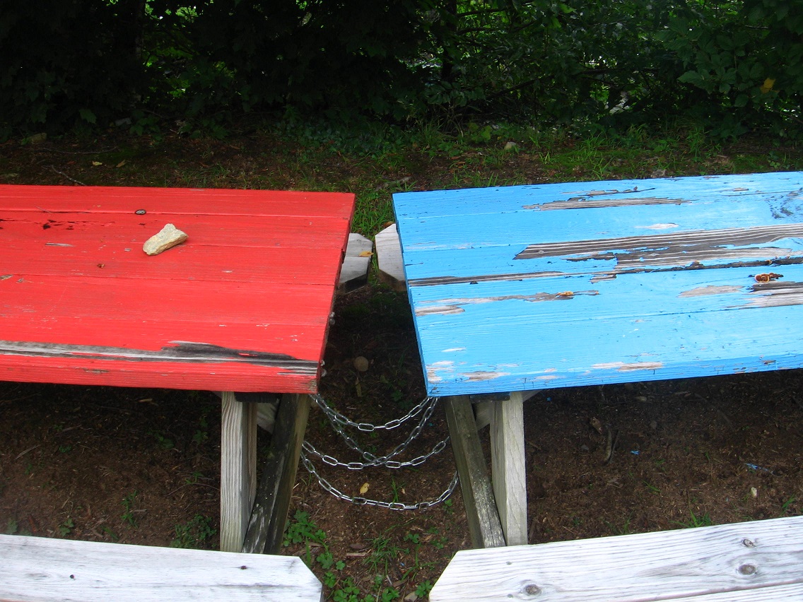
And again! (picnic tables even nearer Point+1)

IMG_0040smaller

Leave a comment

Filed under Blue Mountain

In Minoa for another month

Put the great majority of my mainland holdings up for sale last week, but no buyers before the tier payment came around today. But it’s no big money burden. Maybe more Collagesity mythology will be generated now.

Snapshot2002_007

Leave a comment

Filed under **VIRTUAL SL, Heterocera, Rubi

Karl Tune Interview, July 2015

My interview of fellow audiovisual syncher Karl Tune has been completed. I didn’t know some of the info he talks about and you might not either. Enjoy!

https://bakerbloch.wordpress.com/paradox/syncher-interviews/karls-interview-2015/

1 Comment

Filed under Carrcass Artists

BM Urban Landscape 08/02/15

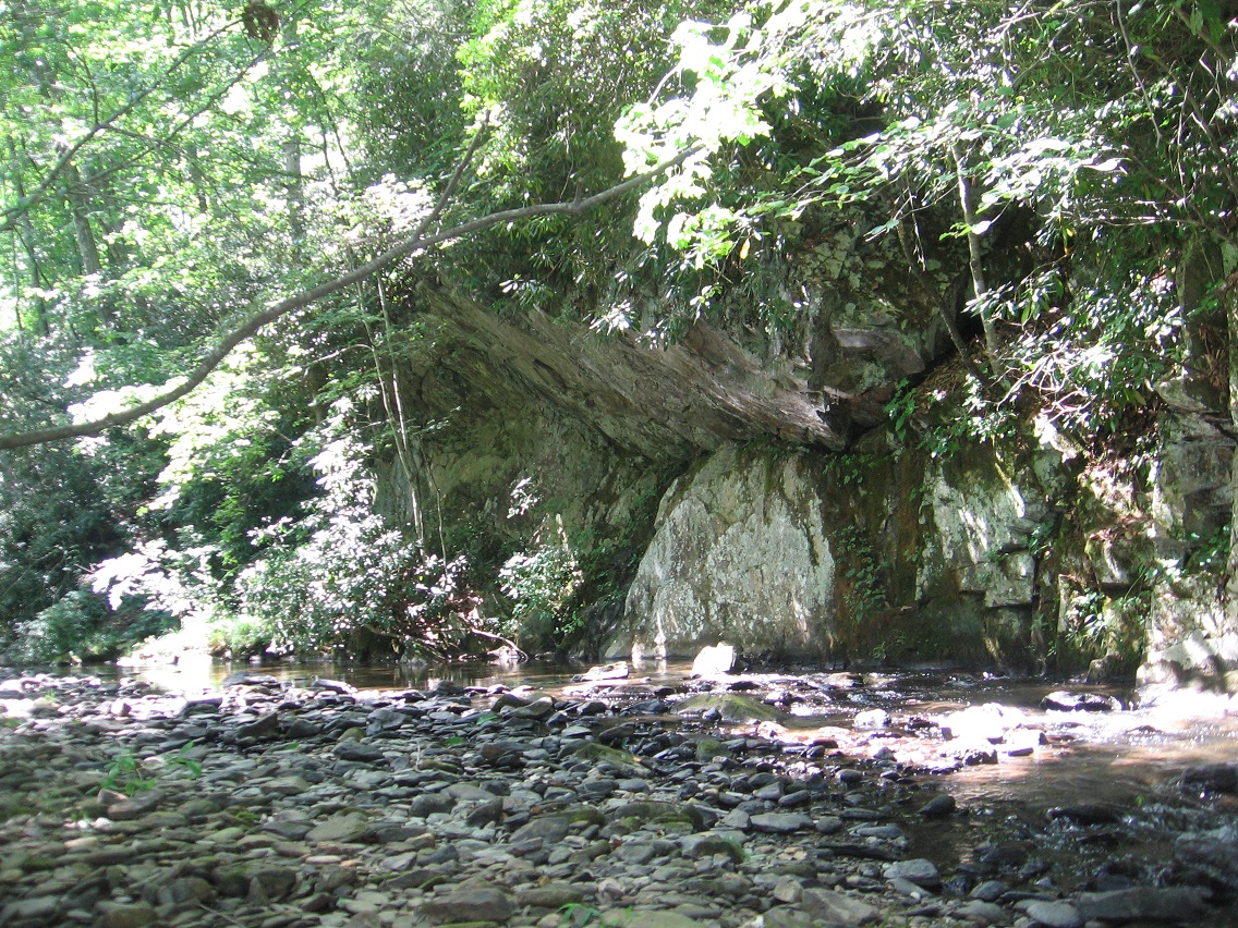
Surprising rock wall on Leola Creek just beyond what I’ve determined is the west end of the Blue Mtn. Urban Landscape. What a find!

IMG_0003smaller

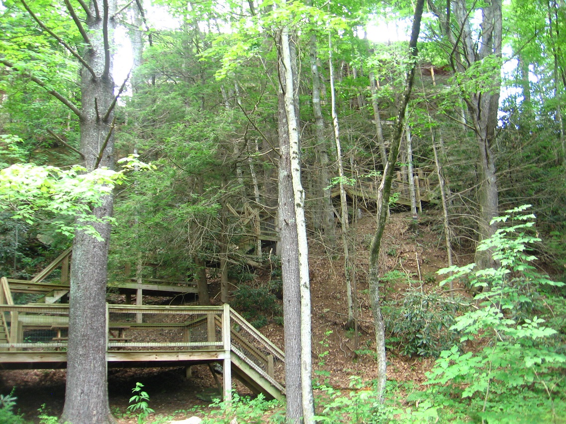
Even closer to Point+1 on our BMUL map is this viewing deck, accessible via a complex, winding staircase from the apt. buildings on the ridge above.

IMG_0010smaller

Then directly opposite it is what can only be described as a rather large scale rock art installation, centered by a long walk created directly beside the creek. To give some location reference, you can spot the bridge at Point+1 in the background glare if you look closely.

IMG_0012smallest

The installation, as I’m dubbing it, includes a considerable number of internal features such as this small bridge.

IMG_0013smallest

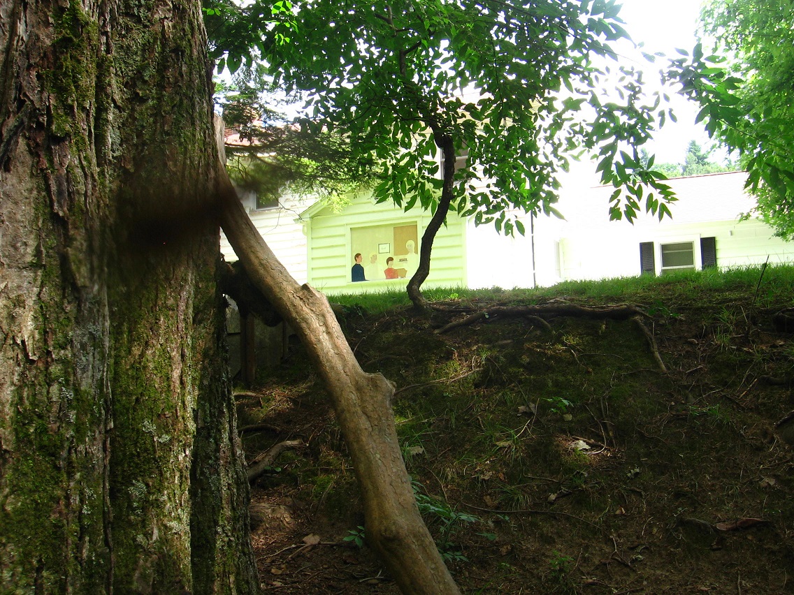
The main building of the property exhibits this primitive art painting in a window… reminds me strongly of a Howard Finster picture. Are the painting and the rock path created by the same person?

IMG_0016smaller

Interesting chair overlooking Leola Creek on an adjacent lot.

IMG_0021smaller

With its several levels of meaning, this area obviously acts as an important western extension of the Blue Mtn. Urban Landscape. I shall return here soon!

1 Comment

Filed under Blue Mountain

Carr. Chat

(joined in progress)

bmul01

Carr.:

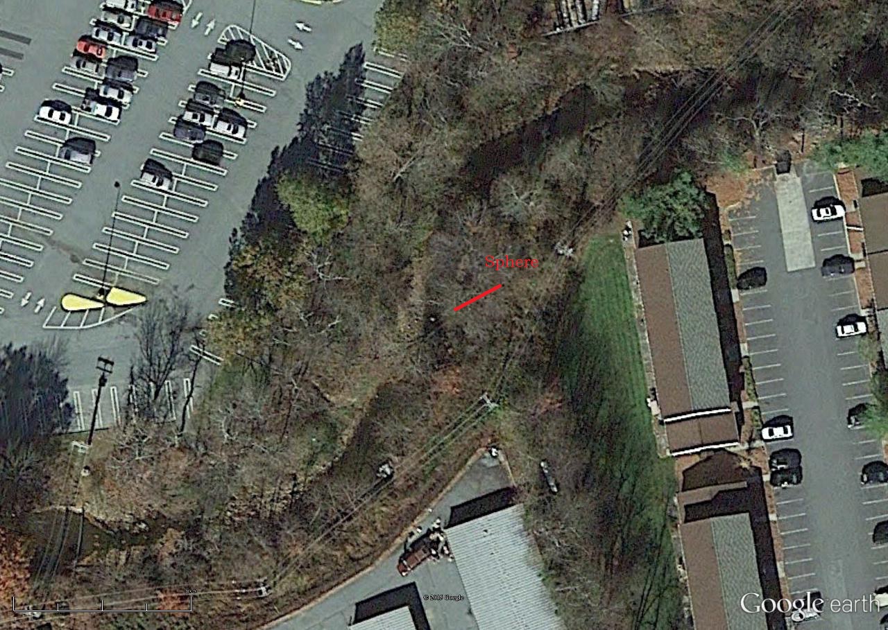
The Sphere tells all. Speak to The Sphere. One under, one over. A bit. Bite. Bite it.

bb:

Amazing that you can even see that sphere or ball on the map, Carrcassonnee. This would of course be the one partially above water. High albedo effect here… like Venus. Maybe that’s why it’s hard to take a good picture of it.

Finding the [second] submerged Sphere while wading up the creek kind of shocked me. For one, I didn’t know I was so near to the first. Who could have put them there?

Carr.:

Earthlings.

[delete 4 exchanges]

bb:

The effect of the interview with Karl is wearing off, Carrcassonnee, and I’ve lost my capital B’s.

Carr.:

They will returrn.

bb:

Thanks again. So, this Blue Mountain Urban Landscape. Can you talk to me more about it?

Carr.:

You sit beside me in Collagesity, asking questions. I answer.

bb:

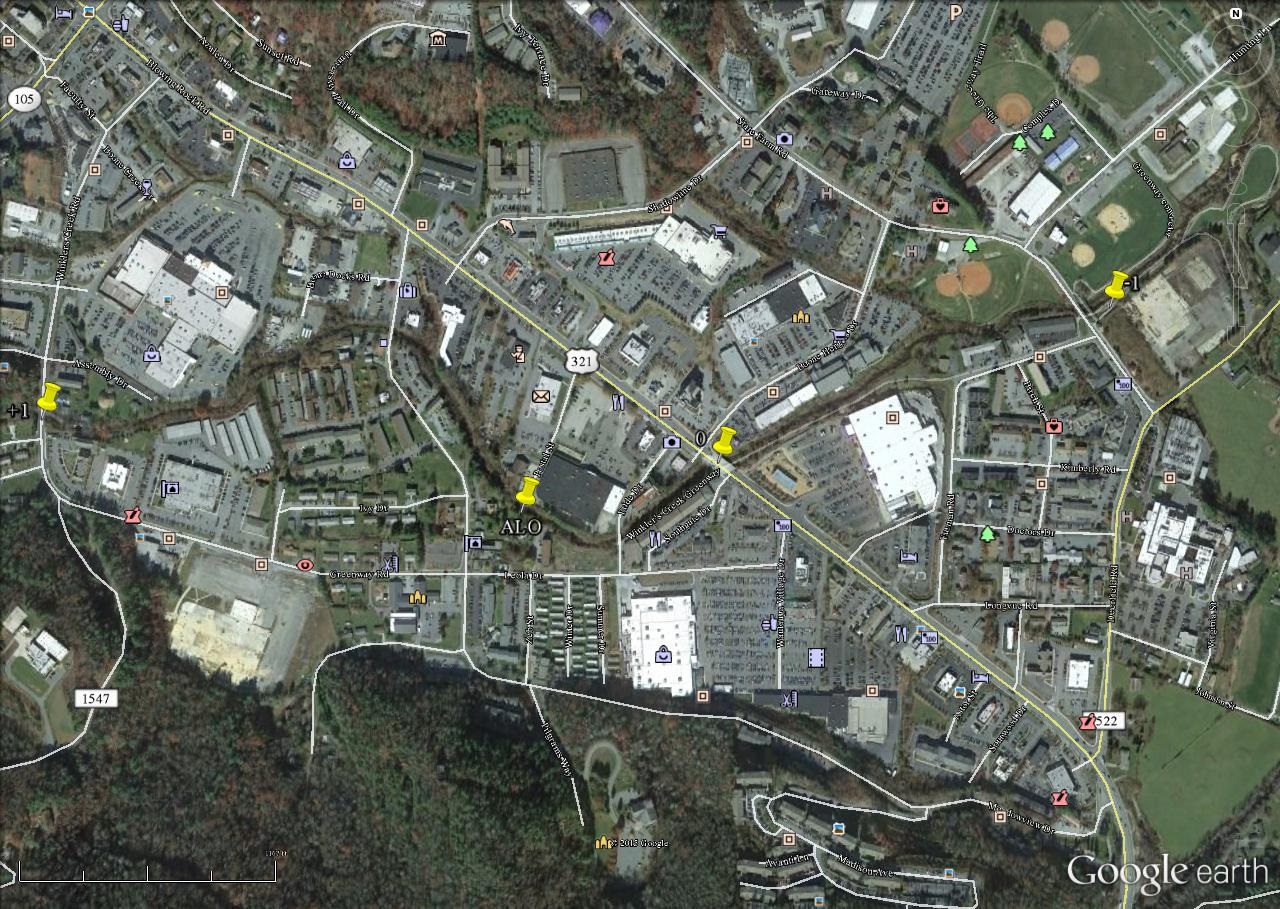
I want to show you a[nother] map. It’s of what I call ALO near the center of the Blue Mountain Urban Landscape.

Carr.:

Best to always say that as a full phrase[ so I can understand].

bmul02

bb:

I thought the center was where I marked it on this map. Now I’m thinking different. The 2nd yellow pin, unnamed, appears to be a center of toy activity.

Carr.:

Corr. ect.

bb:

But it’s on restricted ground. *Don’t* want to f* with the owners.

Carr.:

Nah. Stick to the stream. They’ll understand. Peanuts all.

stonethrow10

Remove Peanut from The Hole.

wis

peanut113

peanut111

bb:

Wonderful. The Hole in the very center of the animated tetraptych I recently completed. The most complex collage I’ve yet created, Carrcassonnee. The center of that?

Snapshot2035_006

Carr.:

UM. Yes. Yeah. Yea!

bb:

You play around with language sometimes like you’re not from around here.

Carr.:

You know I ain’t already.

bb:

Alien, then.

Carr:

Allen, yeah. Yep. Yup.

bb:

Do you *live* in that spot on the creek I’ve highlighted?

Carr.:

High Albedo. Me.

bb:

*You’re* The Sphere.

Carr.:

Talking to ya. Biting back. Bite the hand. Feed me. Venus. Uranus. Submerged. Neptune and Uranus. *Or* Venus and Earth. You pick. You choose. Your choice.

bb:

I think the totally submerged sphere, then, would be Neptune. Totally out of sight. Totally hidden beneath the waves. Uranus — can be seen with the naked eye sometimes if you know right where to look on a clear night. So that’s the one that pokes out from the stream. Or… maybe it is Earth.

Carr.:

I need a home on Earth. I will be therre.

bmul01
baker b. shortly determined that it’s probably Uranus still and not Earth. Thus its faint appearance on this map. Signal.

Soo…

IMG_0035smaller
Neptune.

IMG_0207smallest
Uranus.

bmul01
Uranus.

2 Comments

Filed under Blue Mountain, Green Oz Creek, Herman Park, Wealthy Mountain

BM Urban Landscape 08/01/15 02

More shots from Blue Mountain Creek, just upstream from its mouth.

IMG_0026smaller

Flag of a local car dealership poking up from the creekside vegetation. Land that I love.

IMG_0028smaller

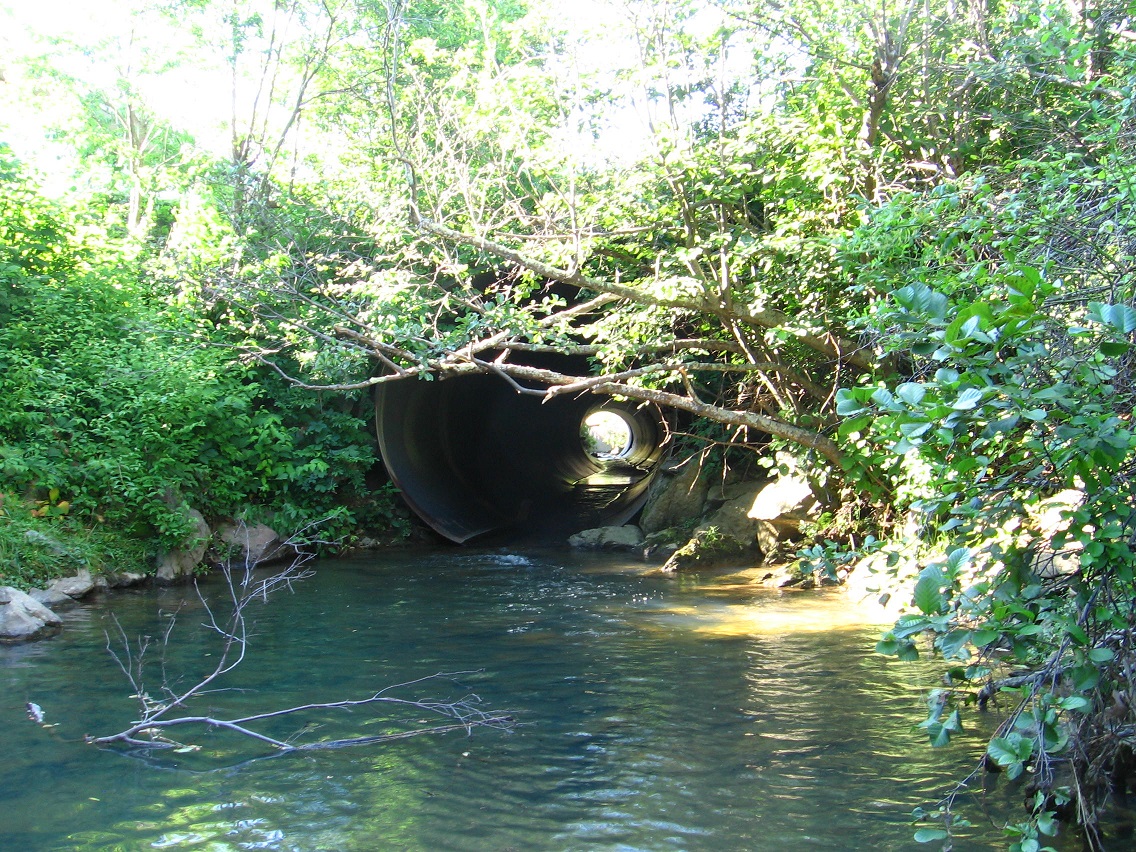
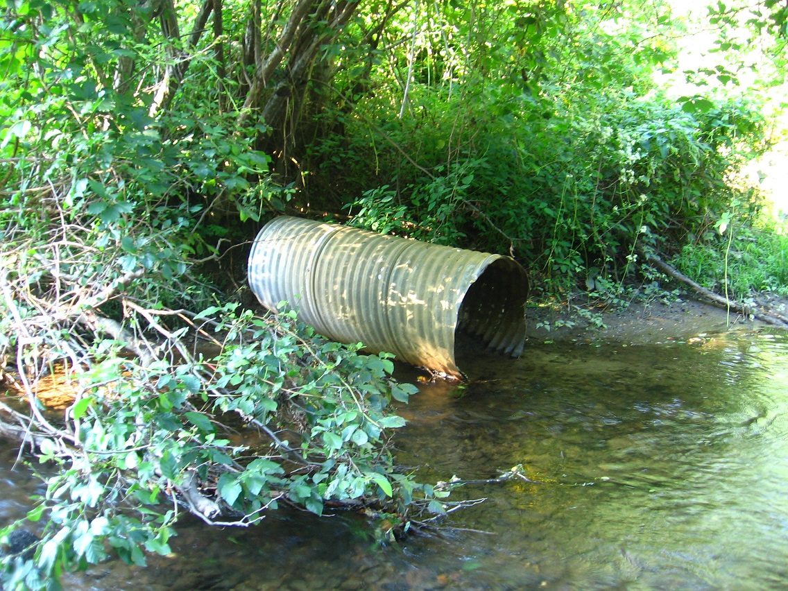
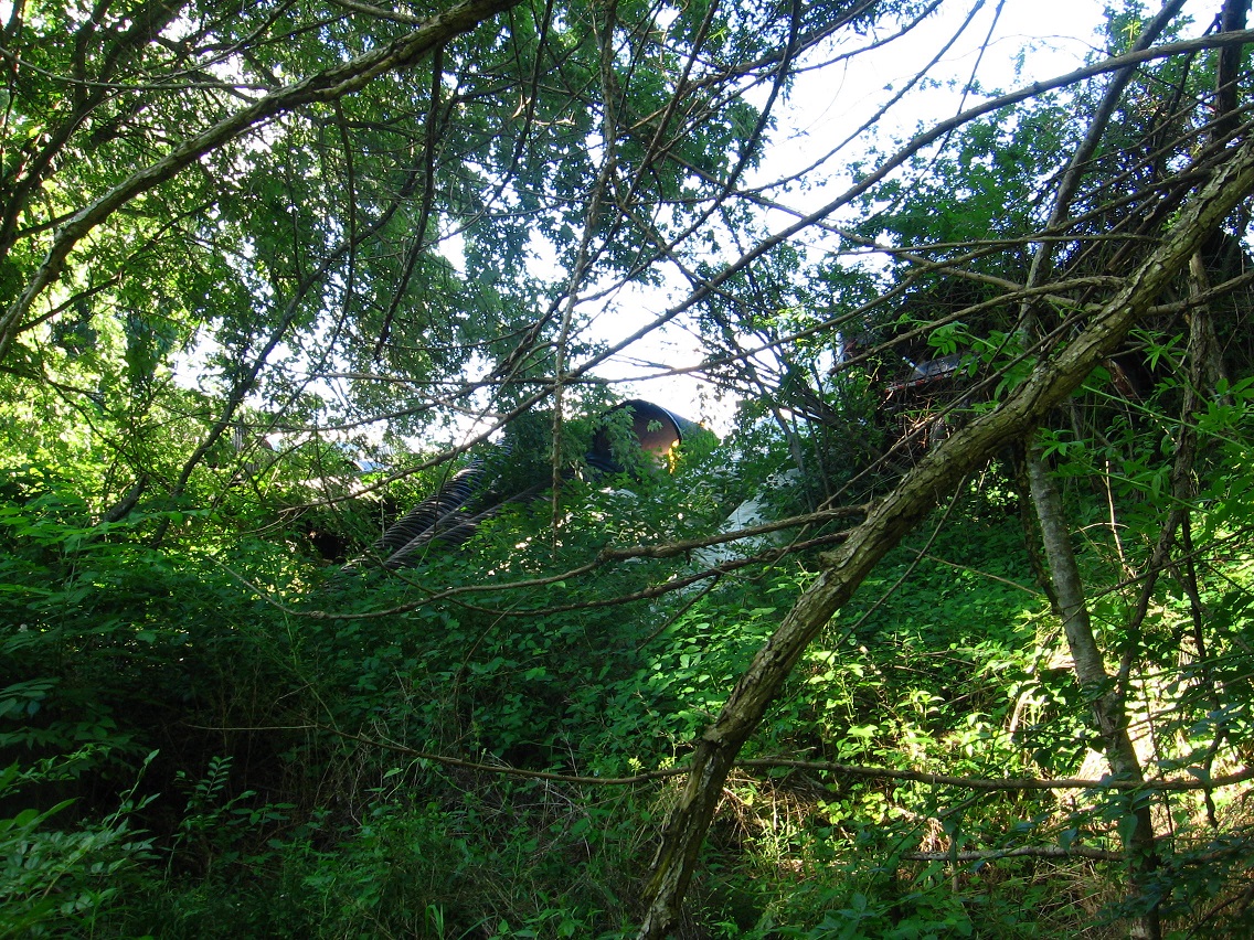
The large culvert I mentioned before where I turned around in my Blue Mtn. Creek wading. The pool in front of it is pretty deep for the creek’s size, and may have reached my upper torso in spots.

IMG_0029smaller

IMG_0030smallest

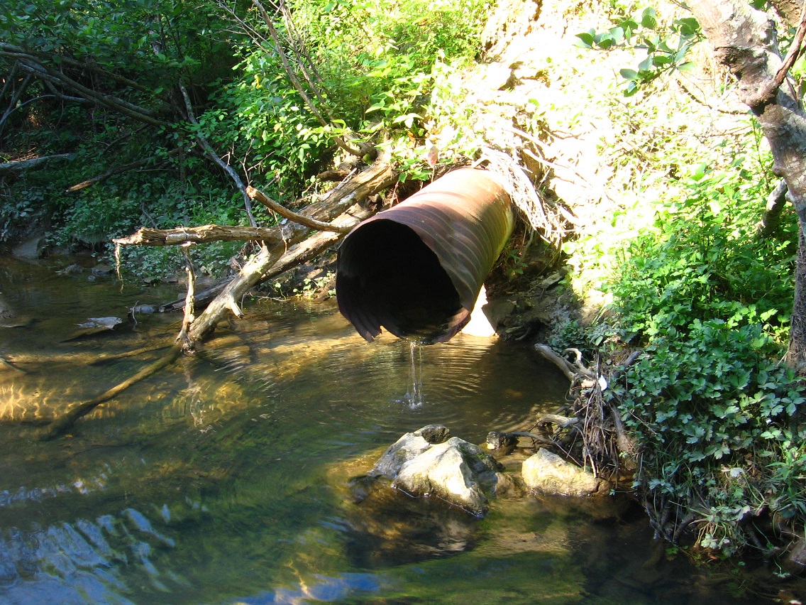
Metal pipe at the confluence of Blue Mountain Creek and Leola Creek once more.

IMG_0031smaller

So reaching this conjunction again I then wade up Leola Creek for quite a ways. Actually, about a third of a mile as I’m checking GoogleEarth now. Shortly beyond the meeting with Blue Mtn. Creek I passed under this bridge decorated with more interesting graffiti. Not sure exactly what this is suppose to be, and I’ll have to return here to take a better shot for more scrutiny. Add it to the list.

IMG_0034smaller

Then probably a couple 100 yards further up the creek brings us to the second sphere, a rather shocking find. Subsequent chatting with Carrcassonnee brought me to the conclusion that this represents the planet Neptune, as the similarly sized sphere behind the town mall equates with the similarly sized planet Uranus. More on all that here.

IMG_0035smaller

Leave a comment

Filed under Blue Mountain

BM Urban Landscape 08/01/15 01

Wading day! Yes, this was the afternoon I literally decided to dive in and complete a project I’d had in mind several weeks: the wading of Leola Creek through a considerable chunk of the Blue Mountain Urban Landscape.

I started at the ALO community garden area where there’s easy access to the creek. My goal was to hike west on the creek toward the town mall. Mission accomplished (!).

As it turns out, probably the most interesting spot on the creek that I visited this day was fairly close to the start, or just past the central ALO region. Its design is that of a wider strip of land between creek and commercial buildings to the north, enough to generate a type of internal microcosm, let’s say, at least in my eyes.

I don’t have a name yet for this microcosm, but I know it’s owned by what we can call Peanuts. Or perhaps just one particular Peanut pictured here. I won’t divulge the reasons for this association, but it’s a one-to-one matching. Peanut(s) owns this land.*

I plan to revisit this place very soon, perhaps using a more direct route from across the creek. I’ll attempt to make a map the next time. But for now, the below, overexposed pictures will have to serve. Certainly one of the more interesting aspects of this area is the higher cliff pictured below, topped with a number of rocks that are unfortunately dotted with poison oak plants. However, that’s about the only poison oak or ivy I saw in the immediate area. Kind of surprising. As I’ve stated before in this blog, such plants are not as common in the Blue Mountain environment as they are in, say, the lower Mythopolis of the piedmont region or even Middletown, another mountain berg but of lower elevation and more southern position. Chalk that advantage up to Blue Mountain over the others, then. And, parallel to this, give Blue Mtn. the advantage for having cooler summer temperatures, which certainly makes it a more pleasant place to live through much of July and August. But again that pendulumic downside: the harsher winters. Yeck!
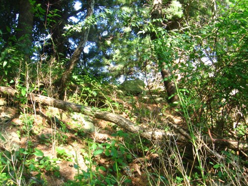
IMG_0001smaller

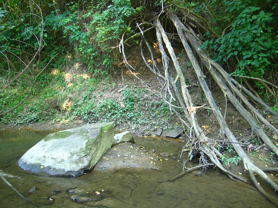
The above cliff top is maybe 30-40 feet above the creek. Between it and Leola Creek is a strip of flat land which contains, among a number of other interesting features, this splayed cluster of large trees. I’ll have to determine a species later on.
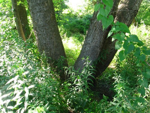
IMG_0003smaller

And then there’s the pipes dangling over the cliffs to the north and west of the one pictured above. I didn’t get a chance to examine them closely this day. They also clearly show up on GoogleEarth.

IMG_0005smaller

A nice long stretch of rocky beach lies near the beginning of this strip, and seems to represent the part most protected from prying eyes.

IMG_0007smallest

Another very interesting tree lies on the north side of the strip, just past the numerous pipes.
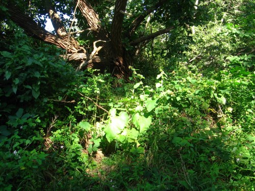
IMG_0014smaller

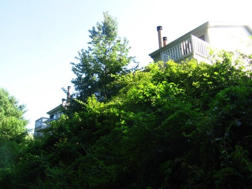
Moving beyond this wider swath of land between stream and civilization, we quickly encounter a series of apt. buildings, the first of which can be quite clearly seen from the creek. People within the apts. can also see me, and one did while tossing refuge in a pile at the top of the creek bank near me as I waded by. He seemed appropriately puzzled about what I was doing. But then he moved on, perhaps thinking I was fishing for trout, although I had no rod in hand. Or perhaps he just didn’t care and had more important things to consider at the time, like what to cook for supper.
IMG_0017smallest

Beyond the row of apts. in continuing to head upstream, we come again to that important confluence first spoke about here. To the right is the mouth of Blue Mountain Creek. To the left is the continuation of Leola Creek upstream to the mall and beyond. But since they’re both of about equal volume, the name situation could have been reversed. Or at least Blue Mountain Creek could have instead become the namesake continuation of Leola Creek.

IMG_0018smaller

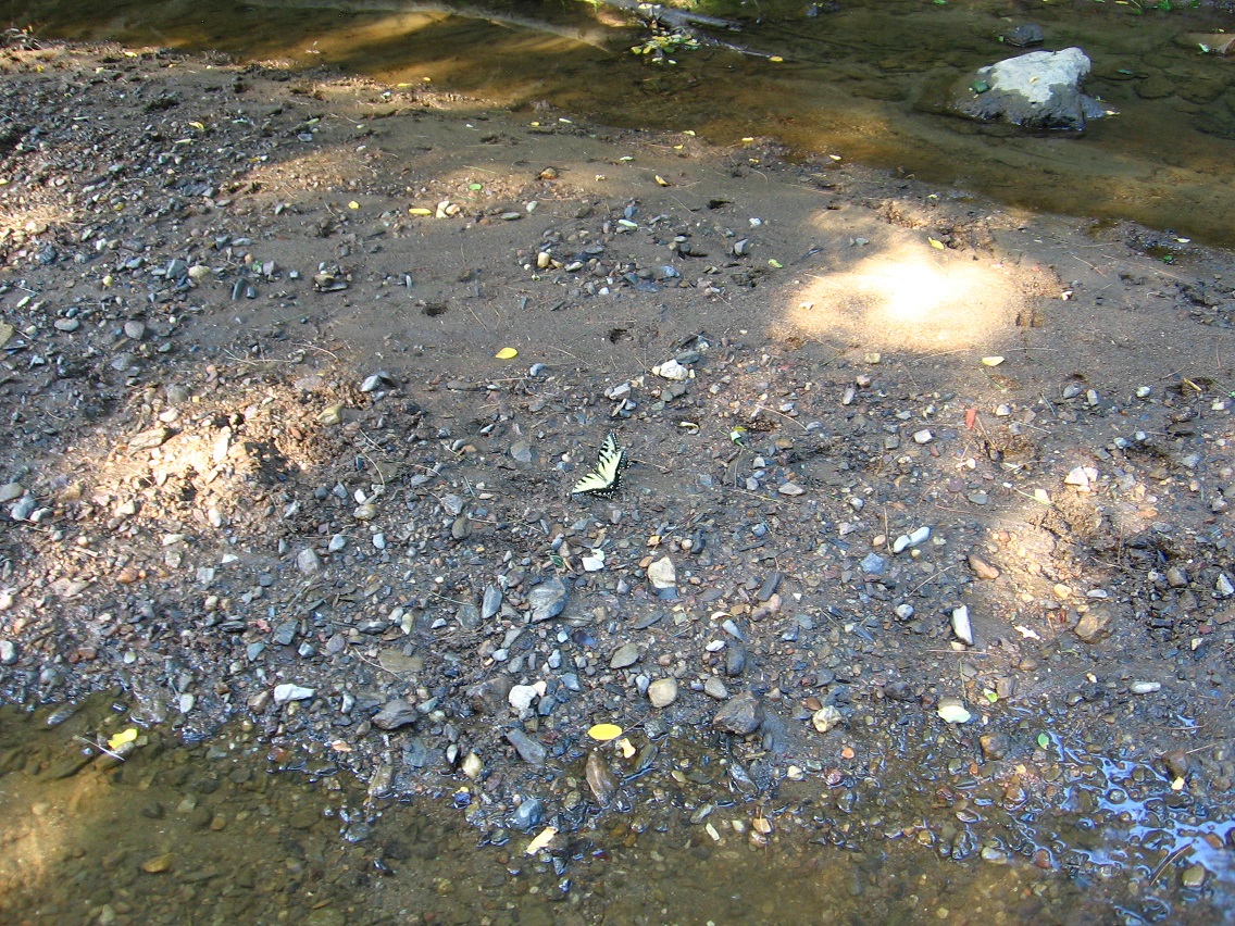
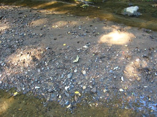
Monarch butterflies on a sandbar (well, mudbar) near the stream conjunction.
IMG_0021smaller

An old motor found in Blue Mountain Creek just upstream from its mouth. I followed this creek for maybe 100-150 yards to a deeper pool fronting a wide culvert underneath a highway, but decided not to go any further in that direction.

IMG_0023smaller

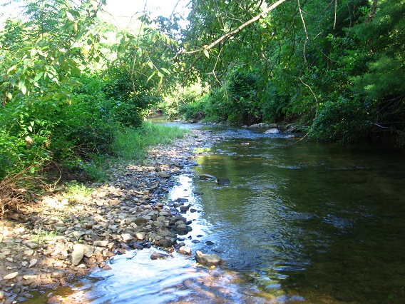
Instead I went back to the conjunction and kept on following Leola Creek upstream. Wading quickly turned trickier in this smaller flow, as the creek bottom became rockier and more uneven. I had to take it slow and easy to avoid loosing my balance on the slippery stones.

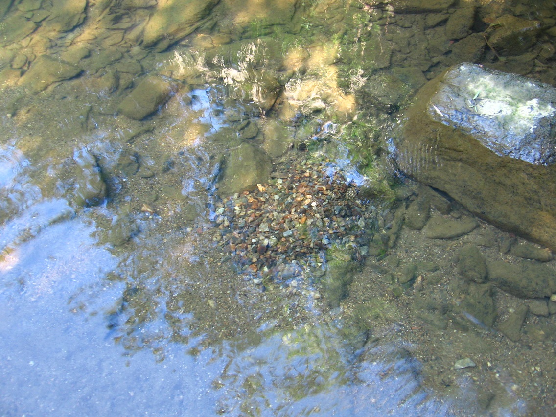
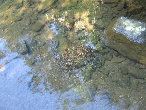
Piles of small rocks like this were encountered all along my journey up Leola Creek. I do not yet know or understand their meaning.
IMG_0025smaller

—–

* On perhaps a related note, check here:

https://schulzmuseum.org/about-the-man/frequently-asked-questions/

Why is the comic strip named Peanuts?

Originally, Charles Schulz named his strip Li’l Folks, but when it became syndicated in 1950 by United Feature Syndicate, there was concern about possible copyright infringement with a cartoon called Little Folks by Tack Knight that had been published in the 1930s. Schulz suggested Charlie Brown or Good Ol’ Charlie Brown, but the syndicate decided upon Peanuts. The name Peanuts was likely chosen because it was a well-known term for children at the time, popularized by the television program The Howdy Doody Show, which debuted in 1947 and featured audience section for children called the “Peanut Gallery.”

“I don’t like the name of my strip at all. I wanted to call it Good Old Charlie Brown, but the person at the syndicate who selected Peanuts just picked it at random from a list of possible titles he jotted down. He hadn’t even looked at the strip when he named it. The syndicate compromised on Sunday, though. Once I rebelled and sent it in without any title. We finally agreed to put Peanuts at the top and include Charlie Brown and His Gang in the sub-title on Sunday.”
– Charles M. Schulz, 1969
1 Comment

Filed under Blue Mountain

BM Urban Landscape 07/31/15 02

Leany telephone poles near the western edge of the ALO region.

IMG_0061smaller

Nearby confluence of two similar sized creeks to form Leola Creek. One of the 2 retains the name upstream. This would be the creek to the left in the below photo. The other one is called Blue Mountain Creek. Correspondingly, it flows through the middle of the Blue Mountain downtown region about 2 miles upstream from here. This is truly an important fork: a name decision of some consequence in both physical and psychic realms. The next day I would wade past this confluence several times. More on the wading story in the next several photo posts here.

IMG_0063smaller

A rock with bird feathers on its top lies near the opposite shore: Feather Rock, then. Again, sorry about the overexposed pictures. I usually hike more toward the middle of the day when exploring the Blue Mountain Urban Landscape. Tough to take a decent picture then with my 15 year old camera I’ve lovingly nicknamed “Liquor”.

IMG_0067smaller

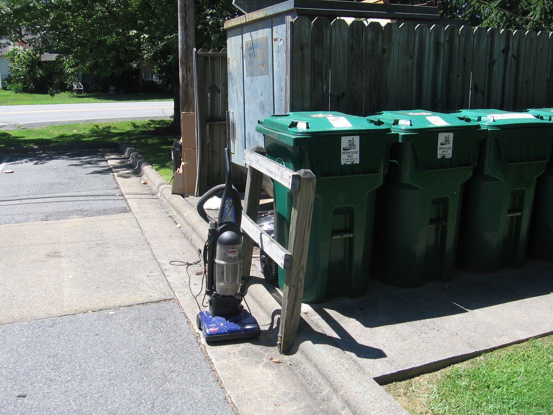
Back up from the creek, and on the same property shown in the first photo above: a purple vacuum cleaner with green trash bins.

IMG_0071smaller

1 Comment

Filed under Blue Mountain

BM Urban Landscape 07/31/15 01

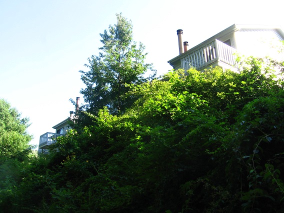
Lookout near Point-1 from the other side of Leola Creek. Originally pictured here.

IMG_0003smaller

At the back of the same commercial building with this lookout: a perhaps disrepaired fruit drink vending machine. Well, who needs those anyway when you have cokes and pepsis?

IMG_0005smaller

Another picnic table was found this day, tucked around a corner of a neighboring building.

IMG_0031smaller

Also on this day I explored more of Leola Creek’s mouth, finding some nifty and meaningful things. A nice fishing or wading pool exists on the creek it empties into (unnamed, as stated)…

IMG_0040smaller

… formed by a dam at this power station. The Leola Creek mouth would be just downstream from here.

IMG_0045smaller

IMG_0046smaller

Yet another picnic table was found positioned near this mouth, light blue in color. What a nice getaway spot.

IMG_0049smaller

Back in the Urban Landscape proper, this butterfly posed for me on a leaf in bright sunlight. It’s really been nice up here in Blue Mountain for the past couple of days. I even took off Friday to enjoy the weather, and may take half a day tomorrow (Monday) as well. We’ll see if I can wrap up some stuff at work first.

IMG_0056smaller

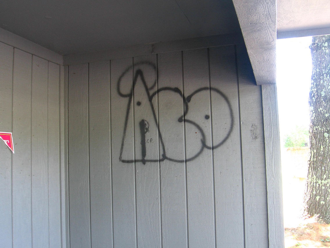
The word “ALO” found in a bus stop. Admittedly I doctored this photo a tiny bit, erasing two dots within the “L”. I think it is suppose to instead be an “E”. But now it’s not. The bus stop is located on the south edge of what I’m calling ALO, and I think the graffiti could be a synchy resonance anyway, if only for my eyes — and now your eyes, dear reader.

IMG_0059bsmaller

More “messsages” wtihin the same bus stop.

IMG_0060smaller

Leave a comment

Filed under Blue Mountain

ALO Center

alo01

alo02

Toggle back and forth between the photos (taken on 2 separate weekends) to get the effect. I didn’t plan this symmetry, but it’s not totally surprising that I could align the 2 in that way since I snapped both from the same place on a narrow path. Center of ALO, as stated.

I’m not ready to speculate on any collage possibilities yet with these.

Leave a comment

Filed under **VIRTUAL SL