i c planets

A follow up to LINK.

MORE TEXT SOON.
n_a

n_a-1

n_a-2

n_a-3

n_a-4

http://en.wikipedia.org/wiki/Five_Civilized_Tribes
(4 c’s and an s (Seminole)).

785px-Trails_of_Tears_en

—–

Joyce, your sun return chart didn’t show up in the post you tried to
put an image of it in. Can you perhaps put it in the photos section
or create it as a file for the files section? As you have seen, I
just create my graphics and then ftp them to a specific web directory
that I created just for this purpose.

If you wish, you can email me the chart and I can then move around to
a designated spot.

Thanks for the clarification about solar vs. sun return chart. Talk
as much as you want to about it, and I’ll check up on it more myself.
I understand what you’re saying: sun position is the same, but the
planets will have moved around and created different aspects or non-
aspects.

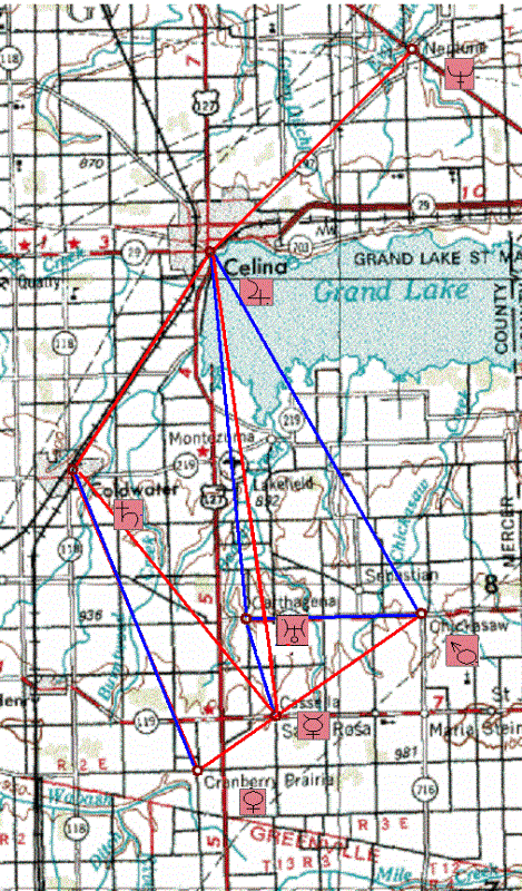
The reason I find this, among other things, interesting in the
present situation is that it did occur to me that the “C” towns might
be representations of planets. Like a trait of the “C” towns (what
should we call this little diagram?), the outer planets, which are
further apart, tend to be larger, and the smaller inner planets
closer together. A logical association would be Celina, the largest,
for the largest planet Jupiter,

then, and Coldwater (2nd largest) for
Saturn (2nd largest planet).

If so, the rest would correspond, in
some way, perhaps to inner planets Mercury, Venus, Earth, Mars.
Perhaps subtract Earth from this list from further info I will give
below.

Another clue to this possible alignment of associations is the
presence of a town called Neptune nearby, just to the NE of Celina.

Joyce, I just looked at the other post from you I had open in another
window, and *just saw now* that you mention Neptune in it as well, in
connection with the 1846 founding of Maria Stein.

Okay, I’ve read that post, although I’ll have to study it more later.
I didn’t understand a lot about the chart references, but maybe if I
have the chart in front of me, a picture of it, then I can see what
you’re saying better.

It probably doesn’t surprise you at all that
I’m more a visual person… have to see what you’re talking about in
order to grasp it… goes along with the art major and the
fascination with maps.

I grok, though, the association of 1846 and Neptune. I’ll study all
this further when I have more time, believe you me.

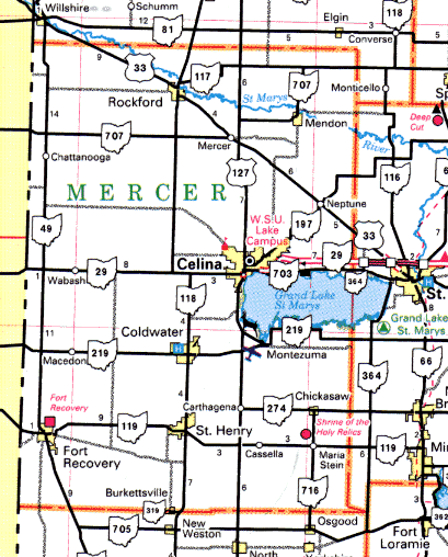
Here’s the map again where you can see Neptune just to the NE of
Celina. It also did occur to me that perhaps the “C” towns should be
viewed from the perspective of the Neptune town, making Celina Saturn
and Coldwater Jupiter, since Saturn is close to Neptune.

Another planet association we can make is that there are *6* visible
planets you can *see* (*C* resonation again)…

C = SEE

…and there are six *C* towns here.

If we go by magnitude of a
planet from Earth, the way we actually *see* it, then, Celina, the
largest town, might be Venus instead, with Coldwater being Jupiter
(Venus and Jupiter are the two brightest planets from Earth). Then
the rest would be Mars, Saturn and Mercury in some combination, with
Mars, most often the 3rd brightest planet, I believe, perhaps
overlapping the only other incorporated town among the bunch, or
Chickasaw. You can also see a 6th planet, Uranus, sometimes with the
naked eye, on a clear night and if you know where to look.

Neptune, in contrast, is totally invisible to the naked eye. Yet we
can *see* Neptune on the map here, unlike the names of the other
planets, although they may be implied indirectly, as I’ve indicated.
Pluto is even more invisible.

Planets have a lot of resonations with other things, including
musical tones, going back to the idea of the C towns “trapping” Maria
Stein in the SE corner of Mercer County, thus bringing in the singing
nun Maria von Trapp of Sound of Music fame into the, um, picture.

Also keep in mind that Maria Stein was first brought up in a January
post on the b_hive by myself, but in conjunction with Minster (just
to the east of Maria Stein), a town that both Dean and I spotted as
resonant with the name *Monster*. Stein is the last syllable of
Frankenstein (Monster), already reinforced in the Hidalgo County, New
Mexico cluster of synchs. So all this is tied into the Jasper County
synchs involving monster that we’ve talked before about on the
b_hive… all this is a continuation of some kind.

Joyce, you brought up Jasper Newton Daniels (Jack Daniels) and
Neptune together in a post as well before… the Jack Daniels
distillery founded in 1846?

Haveta check. Monstrous *Moonshine*
concept also connected here, obviously.

It also did occur to me that the positions of the 6 “C” towns here
may be a 2-dimensional representation of a 3-d object of some kind. I
don’t have a way to render this in 3-d and play around with it,
though. I’ll try to think about a model further.

So, bottom line for now, the “C” towns may make some kind of *chart*
of planets, perhaps like a zodiac chart. The presence of a town named
Neptune just above this group seems to reinforce the idea. These are
the 6 visible planets (the ones you can see or “C”) in some
combination, plus the first planet you can’t see (which shows up as
the actual name of the planet here on the map).

Is this association something dillusional and Neptuney, or is it real
and concrete (remember, also, that our own Dean use to live in this
general area, just east of St. Mary on the map, I believe, where he
poured *cement* for the foundation of a buildling he associated with
a b_hive on this board)?

So I think that’s enough to chew on for now, for both myself and
others.

So Joyce… your chart please. 🙂

Wild, any input?

Does this make as much sense as the Love+Lee=Lovely
diagrams I created before? Less sense? More sense? Less synchy? More?

I’d like to hear more the story about your involvement with astrology
as well.

—–

Leave a comment

Filed under Alabama, Florida, Georgia, MAPS, Mississippi, Ohio, Oklahoma

Grand Spot 03

shallowater01
Shallow( Water) – Friend, NE

godfather03
Blue Skies Mr.

Big Bob?

Leave a comment

Filed under MAPS, Nebraska

Grand Spot 02

http://www.dailystandard.com/archive/2015-04-04/stories/26445/painting-the-town-for-easter

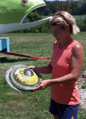
Another article with Brenda Robinson, painter of the Quilted Rock. This time she helped restore Big Bob, claimed to be the world’s largest handmade bass.

When the Griswolds were done painting, Robinson applied a final clear coat to protect Big Bob from the elements.
“I bet he’s good for another 50 years,” Griswold said.
The fish was built to advertise Celina and Grand Lake, with many Lake Festival queens riding on the float in the past. More recently members of the Celina Dolphin swim team have enjoyed a ride on the float during the Lake Festival parade.

History of Big Bob:
According to a 1976 Celina Lake Festival brochure, the current Big Bob is not Celina’s first whopper of a fish float.
Apparently, in the 1930s, a 30-foot-long fish float was built by Celina businessmen to advertise Grand Lake. The float appeared in numerous parades and events throughout Ohio, Indiana and Michigan.
The float was to be a part of the famous Parade of Roses in Pasadena, Calif., but was destroyed when it was loaded for the parade and never reached its destination.
The disheveled fish then was put on a small island in Grand Lake off West Bank Road where it sat for many years as a tourist attraction, the brochure says.
– Betty Lawrence

2009-07-22_1_full

222116_1243754459395_416_300
Oops!

2015-04-04_3_full

2015-04-04_2_full

—–
“Isn’t it clear? You must make a [“quilted”] fish sculpture. To match Waxy the Bird in nearby Greenhead. B[y]rd-Fish.”

polk1955map02

greenup11collage661x516
“One Pink” (Greenup collage #11).

I just took apart the sculpture of the red/green/blue birds seen in the above collage (Opus 19) to make room in my study for the new keyboards (Baby Chro). One replaces another in effect.

opus19
Opus 19 in 1990 art exhibit

—–

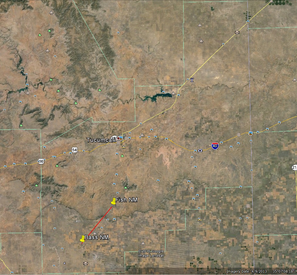
Fish+Bass in Quay County, NM.

fish_bass01

Leave a comment

Filed under Frank Park, Georgia, MAPS, New Mexico, Ohio, Whitehead Crossing

Grand Spot 01

http://en.wikipedia.org/wiki/Grand_Lake_St._Marys_State_Park

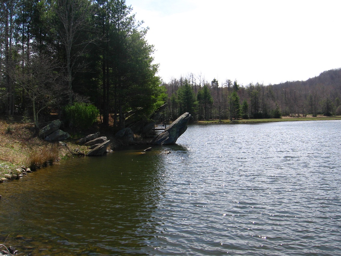
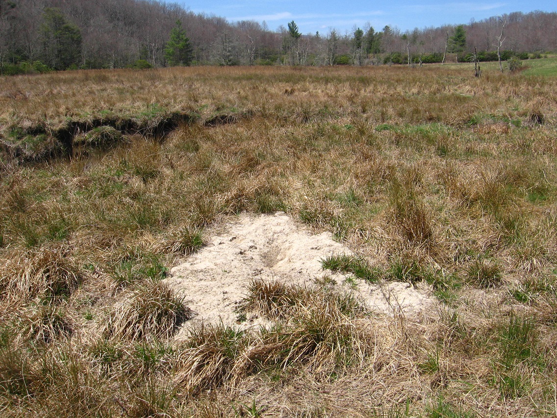
I believe the shallow pool of water at the lower end of Red Head may now be called The Grand or Grand Pool or something equivalent. Model: Grand Lake, Ohio, also very shallow. More on Grand Lake and its Mercer County soon enough. Thanks!

mercer
Celina = Jupiter, Coldwater = Saturn, Neptune = Neptune (etc.)
Mercer County is our Solar System.

mercer_county_flag
Mercer County flag

quilted_rock_mercer_county_ohio
Quilted Rock near Celina

http://generationqmagazine.com/needle-gypsies-the-quilted-rock/

We stopped on the way back home to get a closer look and take pictures. I contacted Stoneco—actually a company called Shelly that acquired the Stoneco quarries some years ago—to ask about the origins of the rock. I was told the rock had been placed to mark the northwest corner of the property that housed Stoneco in that location, but it had been a magnet for graffiti. A local artist, named Brenda Robinson, offered to paint the rock in a quilt-like design in order to discourage the vandalism. And, apparently, it worked, as the Shelly representative had no knowledge of any further defacement.

And that’s all there was to it. Frankly, I was a wee bit disappointed. I was hoping for something that involved a jilted lover, a family feud, and a ghost that haunts the grinder thingy next to the rock. So, what do you think? Tell us what your story would be for the origin of The Quilted Rock. Maybe we can get Stoneco to go with one of ours instead.

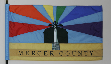
No relation between the quite similarly colored Quilted Rock and the official Mercer County flag that I can tell. Story of the flag here:

http://www.ohiostatehouse.org/museum/county-flags/mercer

The lighthouse signifies Grand Lake, the largest man-made lake in Ohio. Beams radiating from the lighthouse stand for all six Mercer County schools: red for St. Henry, orange for Coldwater, gold for Parkway, green for Celina, blue for Marion Local, and purple for Fort Recovery. The flag committee added one final touch to the design. The foundation of the lighthouse was modified to have fourteen stone blocks. Each block represents one of the townships.

IMG_0058smaller
Red Head’s very shallow “Grand Pool”

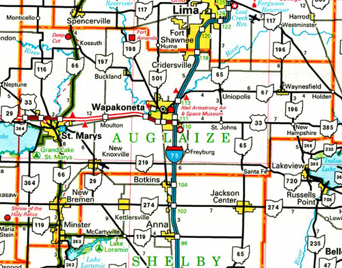
But I wonder if a map like this could have possibly served as an inspiration for the colored Quilted Rock patterns.

Actually, I suppose it looks more like townships. More pondering to do here…

http://myhometownohio.blogspot.com/2009/09/temple-of-tolerance.html

auglaize_county_ohio

Leave a comment

Filed under Frank Park, MAPS, Ohio, Whitehead Crossing

Herman\

What sticks out from this list?

herman01

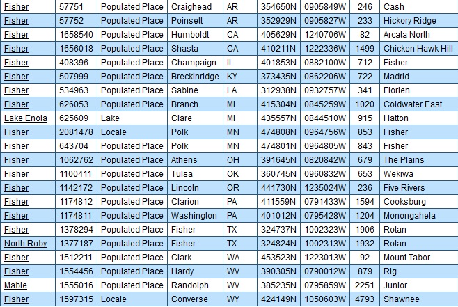
Yes, it’s obvious. The 2 Hermans of Craighead County, AR, one on a Herman topo map and one on a *Tru*mann topo map. Herman Munster, ol’ Flattop, is not a true man. He is a [composite] monster.

There are 2 Hermans in Winesap. This is also obviously referred to here. Is there more proof of this? Of course. We have Winesap in the same county, and one of only 2 in the country, the other being in Ohio. We have a Fisher, with another in the county below, almost directly south. Fisher-Herman. Fisherman. Obvious.

fisher01

But Herman also refers to Herman Park. But Herman Park refers to the 2 Hermans of Winesap. It’s a circle, or a triangle. Triangle within a circle.

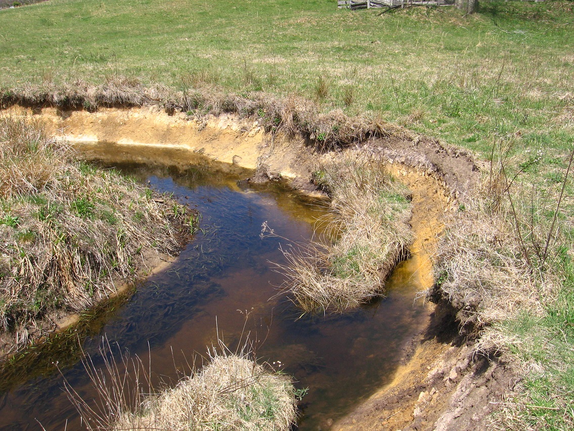
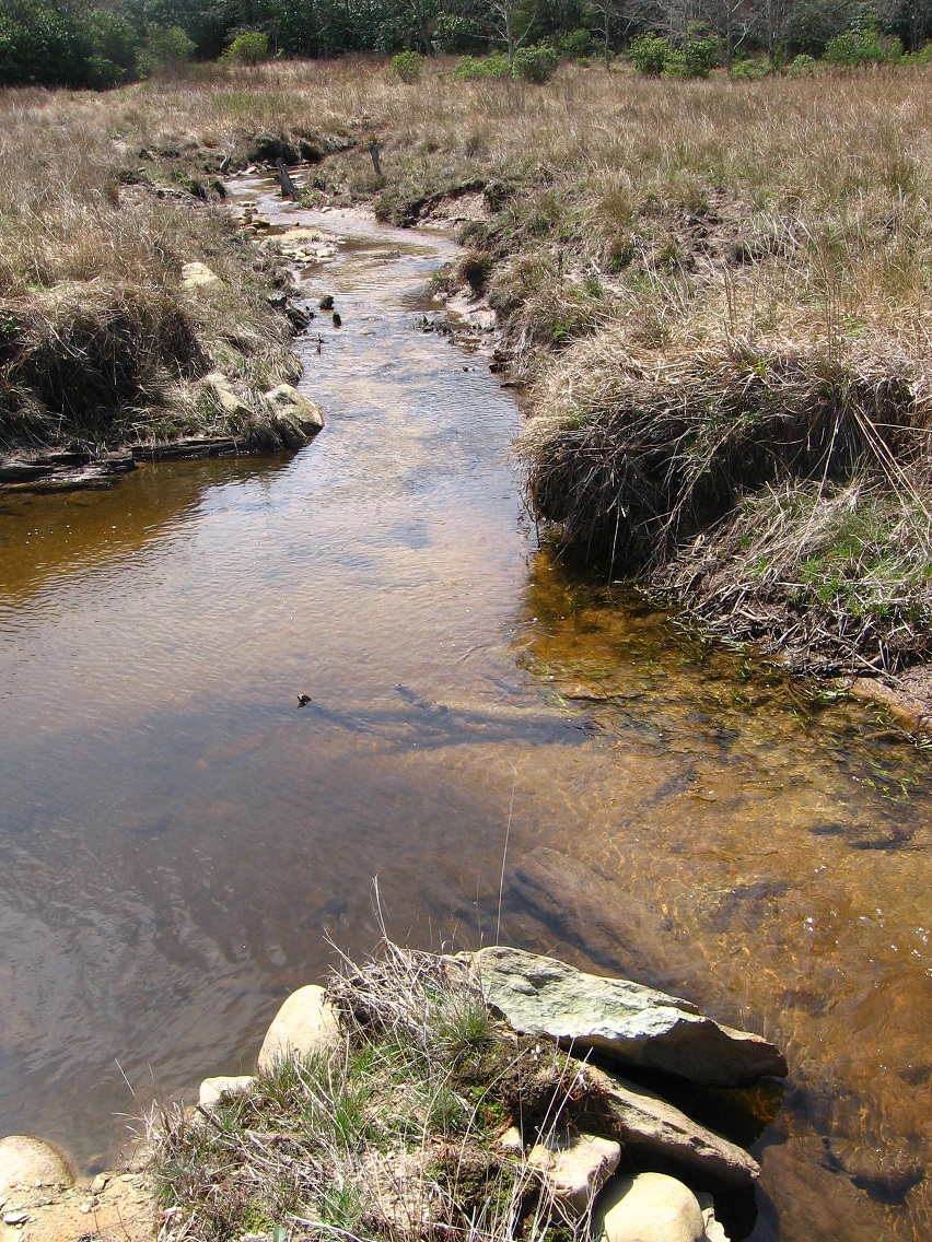
Herman Park was built around Tile Creek, known to non-Tilists as mundane Yards Creek, spewing forth in an Appalachian Spring from Yards Mtn.

222116_1243754459395_416_300
PEI’s Appalachian Spring

That’s Red Head soon to run into a Greenhead roadblock, quickly resolved. Greenhead is where the bird beat the bug. Hucka Doobie was a martin bird. Bird Wax instead of Bee Wax. Isn’t that right Hucka D.? Never mind. I know I figured it out. You transformed from a bee into a bird.

Hucka D.:

Almost.

bb:

Stay on course.

Hucka D.:

Yes.

bb:

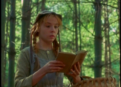
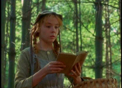
What is the relationship between Green Stream and TILE Creek? Are they the same? Or, better, is Green Stream the *new* TILE Creek? Given that Red Head begins it all, and Red Head starts 4orrin1 [and the flow of an Appalachian stream] as seen above. Red Head transforming temporarily to Greenhead — and I’ve been thinking about this — is the confluence of the former with the Whitehead Crossing matrix. Assimilation. Whitehead Crossing is home for poor little orphaned Anne, even though she was suppose to be a boy (as Red Head is most logically Greenhead and visa versa, since it’s on Green Stream and Greenhead is on Red Brook instead). Then in the next synch carrcass, Frank’s Moving Mountain, we have the same dialog reappearing. But instead it’s Howl whose hair has turned an awful shade of green.

Hucka D.:

We’re getting off course.

bb:

Sorry. Could there even be significance to the poem Anne is reading at the beginning of the synch carrcass and film as one?

http://en.wikipedia.org/wiki/The_Lady_of_Shalott

Stanzas five to eight describe the lady’s life. She suffers from a mysterious curse, and must continually weave images on her loom without ever looking directly out at the world. Instead, she looks into a mirror, which reflects the busy road and the people of Camelot that pass by her island.

Modern critics[citation needed] consider The Lady of Shalott to be representative of the dilemma that faces artists, writers, and musicians: to create work about and celebrate the world, or to enjoy the world by simply living in it.

TENNYSON-DICKEYVILLE.

Why Dickeyville?

dickeyville01

Hucka D.:

On course.

http://en.wikipedia.org/wiki/Dickeyville_Grotto

http://www.roadsideamerica.com/story/2242

Leave a comment

Filed under Arkansas, Frank Park, Indiana, MAPS, Whitehead Crossing, Wisconsin

Spoon Fork & Knife? 02

TEXT SOON.
IMG_0021smaller

IMG_0026smaller

IMG_0028smaller

IMG_0031smaller

IMG_0033smaller

IMG_0034smaller

IMG_0036smaller

IMG_0037smaller

IMG_0038smaller

IMG_0039smaller

IMG_0041smaller

Leave a comment

Filed under Frank Park, Spoon Fork

Spoon Fork & Knife? 01

TEXT SOON.
IMG_0002smaller

IMG_0006smaller

IMG_0011smaller

IMG_0012smaller

IMG_0013smaller

IMG_0014smaller

IMG_0015smaller

IMG_0016smaller

IMG_0018smaller

IMG_0019smaller

IMG_0020smaller

Leave a comment

Filed under Frank Park, Spoon Fork

Immediate concerns

Should be a wetter week in Blue Mountain. Frank and Herman Parks are probably closed off until the weekend. That’ll put me at April 18th, but I might have to go to Mythopolis to help mom that day. Spring is progressing (!). I must think of how to use the Whitehead X-ing environment during warmer weather. I’ve created or traced the Contemplation Loop of the Crossing last August, I believe. Can I walk it more this summer? What about Concreek, which was a successful summer focus in 2012?

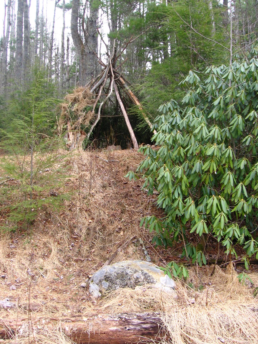
Living in the woods during the summer is not an option now. Maybe when I retire I can camp out again. But I have a history of this. In, let’s see, 1982, I lived from May through the middle of September in a tent in woods just west of Blue Mountain State College. Then in May or June 1984 I even built a kind of primitive teepee at another location near Blue Mountain, although I only “lived” there for a month. I stuck an umbrella on top to keep out the rain. Another stay in a tent ensued in August 1984 at roughly the same spot. I remember it being an extremely dry month, rare for August certainly. I have not taken pictures of these places for the blog. Maybe I should. Oh, there’s one of the tent location here (first 5 photos; but I didn’t produce any text for this particular post 😦 ):

https://bakerbloch.wordpress.com/2014/08/05/about-rl-01/

Michael Two created several habitats in the local parks, including what I call Michael Won in Frank Park (where I first met him) and then Michael Too as well on a ridge of Wealthy Mtn. in Herman Park.

And now someone is building a teepee at Whitehead Crossing — not Michael Two in all likelihood. Another parallel self? I think so in a way, in a manner. One of my goals before retirement is to secure a location for a woods cabin or shed or equivalent. Perhaps a teepee will suffice.

When I worked at Maynard Jackson’s Cafeteria in the Blue Mountain Mall during the mid-80’s, a number of my friends were living in teepees, an inspiration for my own more humble attempt. Toy happenings have kinda replaced the desired for forest living quarters. But where is all this heading, I ask myself? I’m going to retire not too soon but not too far off in the future. I’ll have more time for camping. The wife will probably not join me for many of these excursions. How about just *buying* a cabin next to the woods. It doesn’t seem the same. Still I must think of practicality.

The woods stays ended when Edna and I began dating in 1986. Houses became a focus. Eventually we bought one, where we still live. A big attraction was the woods to our north, west, south however, that I’d already explored a bit beforehand. This is the intra-hiking space I mentioned in a recent blog post, the one that has been deactivated by neighborhood degeneration. And with it, the dreams of a permanent home in Blue Mountain have evaporated too.

A key word: permanence. Perhaps Frank and Herman Parks can provide it instead.

Leave a comment

Filed under Blue Mountain, Frank Park, Whitehead Crossing

Warmer Weather Hiking

Middletown/Ashville wilds are basically closed up to me until October. Even moreso for Mythopolis: November. I’m stuck with Blue Mountain now in terms of off trail hiking. I’m going to try to extend this into May up here.

What closes them up? The heat for one thing. Wearing shorts is not an ideal situation for off trail (Blue Mountain has a lot of mountain nettles, for example). Gnats for another. And a big one: poison ivy/oak. This goes triple for Middletown. This goes triple times triple for Mythopolis. Up here the poison ivy is around but scarcer. There’s some in Whitehead Crossing, for example, but you can pick your way around it, especially if you have a rough idea of its location beforehand. Growing up in Mythopolis was quite different. There you’d have vast fields of nothing but poison ivy sometimes to deal with. That’s a huge plus for Blue Mountain even in comparison with Middletown, where the poison ivy situation is between the two.

Then we come to the wildlife critters, and I think especially here of snakes. Don’t want to step on a snake in the undergrowth. Now Blue Mtn. has it’s share of snakes for sure, but again Mythopolis trumps it, and Middletown, once more, lies between the two in terms of the risk of stumbling upon one of the feared creatures. When I lived in Durham I found that snakes were all over the place — no chance of practical off trail hiking during summer months atall. In Blue Mtn. — Whitehead X-ing once more — you can get away with it.

So: gnats, poison, snakes. That’s the big 3 in terms of living things. I suppose we should add mosquitoes in with gnats, but they’re not as everpresent.

Other critters I’m semi worried about are bears, but I’ve only run across one in all my hiking days, and I encountered him/her on a designated hiking trail. This is one reason I don’t do a lot of off trail hiking at Granddaddy Mtn. Another is conservancy issues. Bees/hornets are also something to think about, especially ground nests. Wolves/coyotes are around; foxes. And I’ve found what is most likely a skunk hole recently at Drink Lake that I need to avoid in the future. Raccoons might be worth pondering.

The woods are just a more dangerous place in warmer weather. The now foliated trees do not allow rocks to dry as quickly, raising chances of slipping on them when wet. And heavy rain, often unforecasted, comes more frequently in the summer.

And so I don’t accomplish a lot of off trail hiking even in relatively safer Blue Mountain. Now *England* might be different. There’s not many snakes. There is *no poison ivy/oak*. The heat is much less of a problem, and I assume the gnats and skeeters as well. England would be *ideal* for summer, intra-woods hiking. If you had enough woods.

And that’s where the advantage shifts to Blue Mountain, once more. Blue Mtn. has woods in spades. Whitehead Crossing is still a center.

IMG_0095smaller
Still rock’n!

Leave a comment

Filed under Blue Mountain, Frank Park, Herman Park, Middletown, Mythopolis, United Kingdom, Whitehead Crossing

Stream

“Stream” might still be important.

Pulling Further Out…

This is the same as George Harris’ Son’s Branch, the one looping around our Blue Mountain house. It has its origins on the north side of Herman Park. Protected. But then shortly entering unprotected area as it snakes toward our house, our neighborhood. Our degenerated ridge. Along the way it passes through Harrisonia — unprotected, true, but still with energy. A shed sits in the middle: Harrisonia Central. Who put this shed there? Did they build it on the spot?

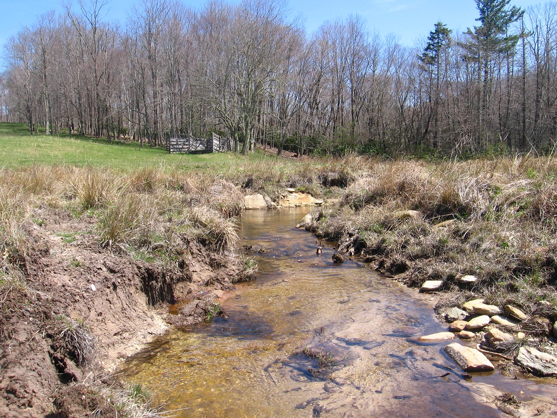
From the same 2008 post, CREEK is now called Tile Creek, more commonly known as Yards Creek, however, to non-Tilists. RIVER is the same as Spoon Fork, the main waterway of Frank Park. Not yet known about at the time of this post is Whitehead Crossing, and the importance of its Green Stream lying kind of in the middle of all 3.

The designations have changed. The flows have become more personalized. All revolves, seemingly, around Whitehead Crossing now. Red Head, Greenhead, Whitehead. Blue Skies Mr. above all.

elton

RGB_illumination

Leave a comment

Filed under Blue Mountain, Frank Park, Harrisonia, Herman Park, Spoon Fork, Tile Creek, Whitehead Crossing