After several attempts at this, I’m finally energetic enough after work to take some worthwhile photos of Whitehead Crossing, which has more and more become a woodsy center or focus for me recently. And, I feel, down the road as well, when I’ll be a true White Head in da Woods (retired). How far to go within or penetrate the essence currently? Apparently quite a lot. Let’s start with a northeast corner of the designated area, which is the same as the corner of what was probably an old pasture. How old are the trees of Whitehead X-ing within this old pasture area? Unsure.

Rotted group of trees just inside this corner. Not sure what kind they are.

More trailing vines just down the hill. We’re nearing Grey Rock and its accompanying stream once more.


Floating tree branch perhaps defining another internal Whitehead Crossing border.

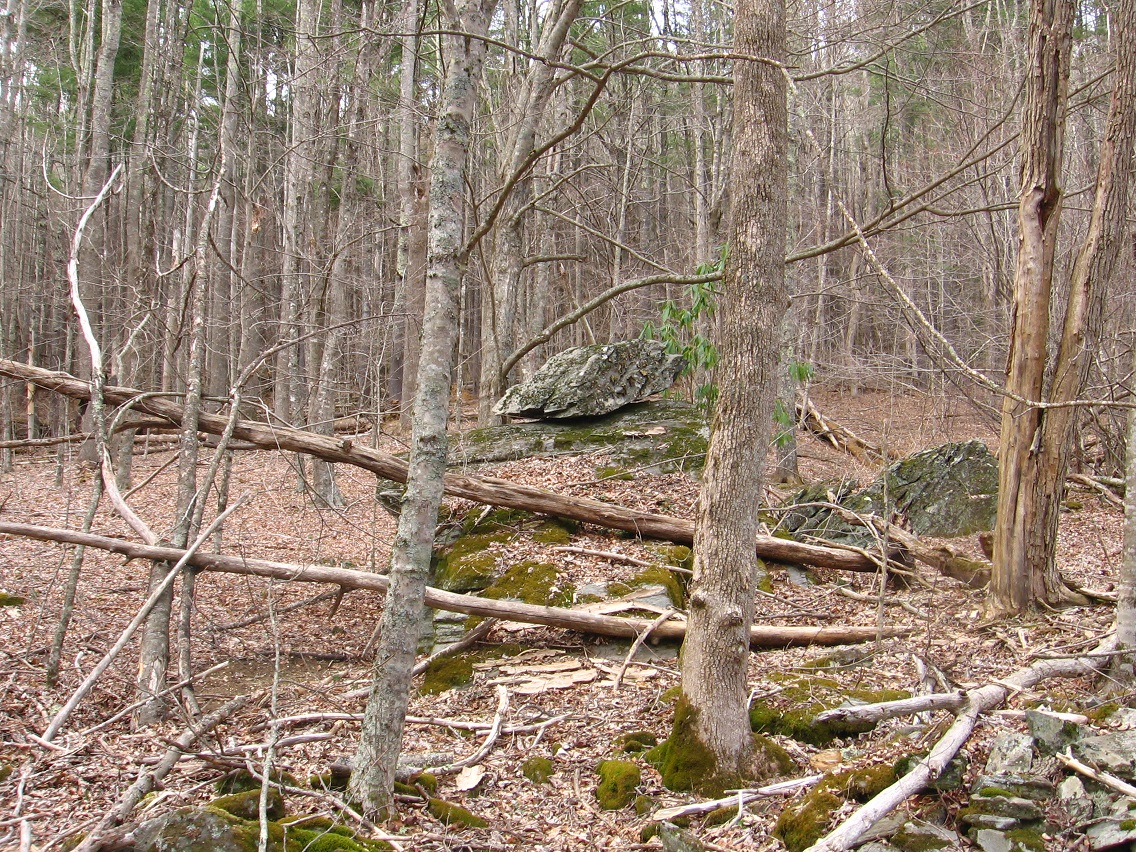
Grey Rock from the south.
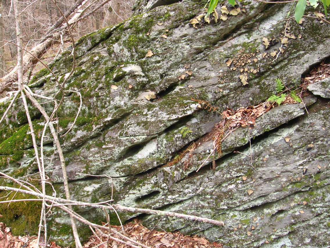
Bottom of Grey Rock’s west side. All these details seem important.
Gray Rock, of course, has a famous topping rock, as yet unnamed actually. Piggyback Rock? It’s the original one thing on top of another thing according to more of that local legend. So that makes it also the Original Collage, I suppose. More on this rock soon. It’s obviously a center of a center.

A rhododendron sprouts from the side of Gray Rock, attempting to hide its topping or piggyback rock from this angle.

East side of Grey Rock. Remember that this rock had been associated with Maine and Norumbega and Nautilus Island/Jeogeot/Second Life well before I learned about the additional strong Maine resonance with the area through Monhegan Island and its Whitehead and Little Whitehead, etc. This connected to the fact that Grey Rock is also known as Jeogeorock (or a jeogeorock, for there may be several), or a rock that embodies the essence of Second Life’s Jeogeot continent which I was so involved in for several years.