
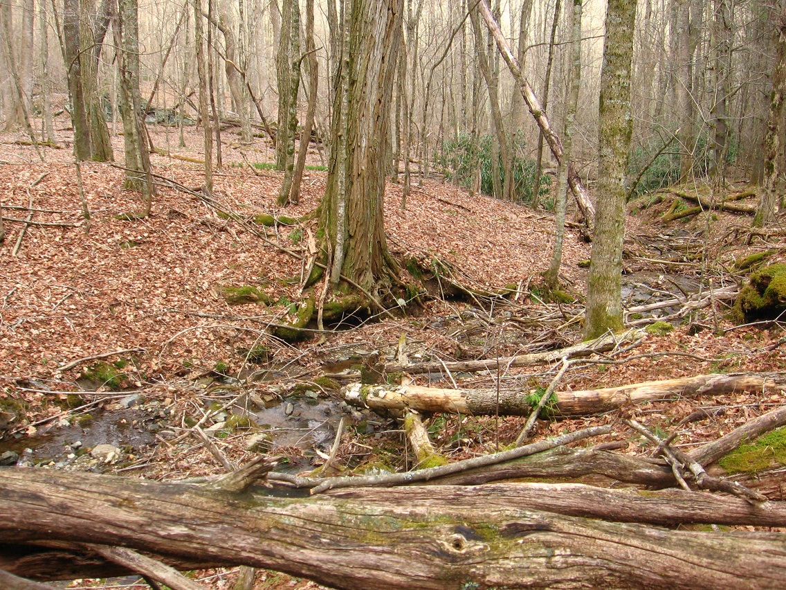
Ridge between Little Whitehead and Whitehead (Brook). This may be the site of the true or at least the core of Whitehead Crossing. Makes sense. There’s that evergreen grass again, back center.

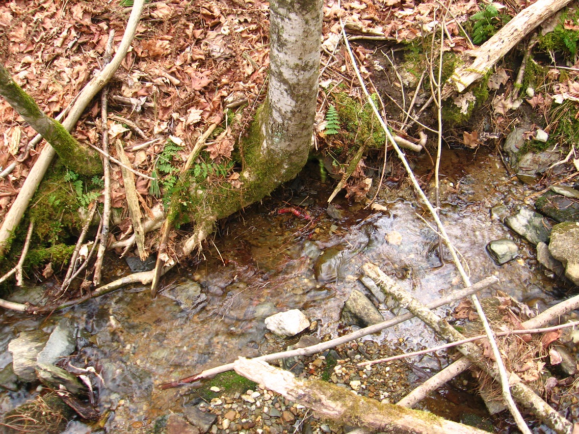
Red root in Whitehead Brook.
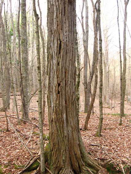
Very large tree beside Whitehead Brook on this ridge. I believe this is a locust tree.
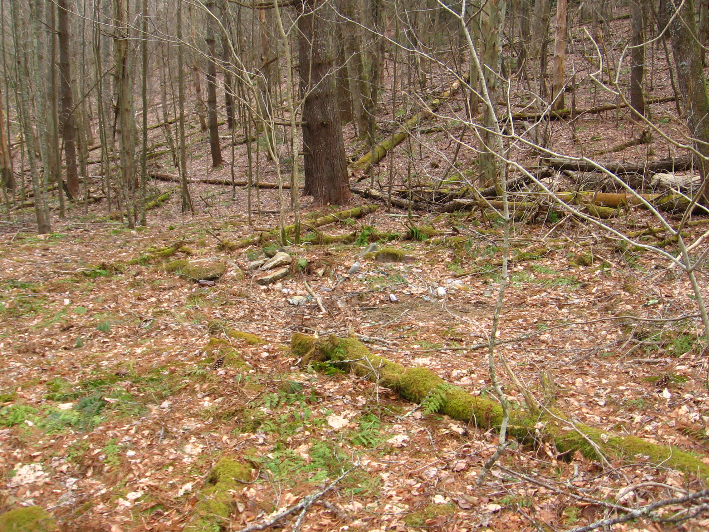
Directional Rock, to south of Whitehead Brook now. This lies between Hucka D.’s bottle site and Rock’s Meadows.

And now Hucka D.’s 50 or so bottles.
This particular day of photo snapping, I decided that Whitehead Brook can logically be divided into several part in its flow within Whitehead Crossing. These can be established by the points the stream’s 2 “tributaries” join the flow, or, first, Little Whitehead (seen below)…

… and then the spring which lies beside the Grey Rock complex, which presently doesn’t have enough water to make it to Whitehead Brook — dries up in the meantime — but obviously during heavy rains does. It just so happens that this huge tree (oak?) fell across Whitehead Brook right at this conjunction.

Dry patch underneath this fallen trunk.

Higher clay bank just beyond (downstream) — no name yet.

Log from downstream. The island in the foreground also has no name as of now. I’ll create a new Whitehead Crossing map showing these new Whitehead Brook & Whitehead Crossing divisions asap.

