
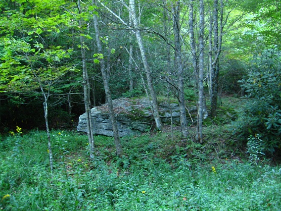
Shot of large rock near Green Oz Creek, in the section of Green Oz I’ve been calling Yellow Down in this here blog. I need to eventually give it a name. Just to remind, Green Oz represents the middle ground of Green Oz Creek from source to mouth, a more open area with numerous fields roughly centered by Tinsity. It seems naturally divided into two larger section: Greenup to the north and Yellow Down to the south, with a smaller, central patch of rhododendron that appears to be a divider between the two called Brownie (or Dark Space). Tinsity lies on the upper edge of Brownie, or, oppositely, on the southern limit of Greenup.
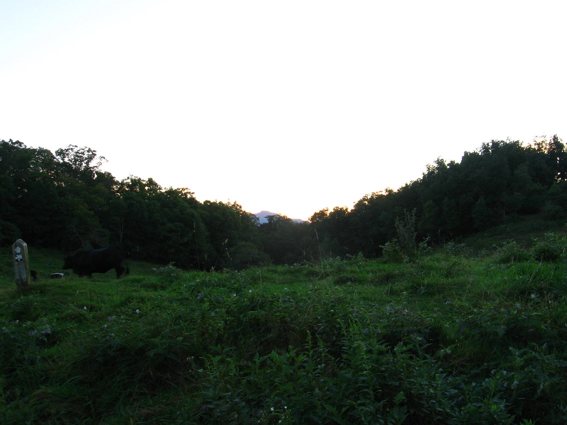
This is a photo looking over Skillet Swamp just north, in turn, from Tinsity.

Heavy summer rains have seemingly washed away this old avatar bridge, but also created a new crossing seen below.

Beautiful meadow between Green Oz and the Quartz Brook Valley to its northwest, which I also revisited the next day but didn’t take any photos of. While the leaves are still on the trees, the woods tend to be pretty dark, making picture taking difficult. I’m not a big fan of outdoor flash photography.
