
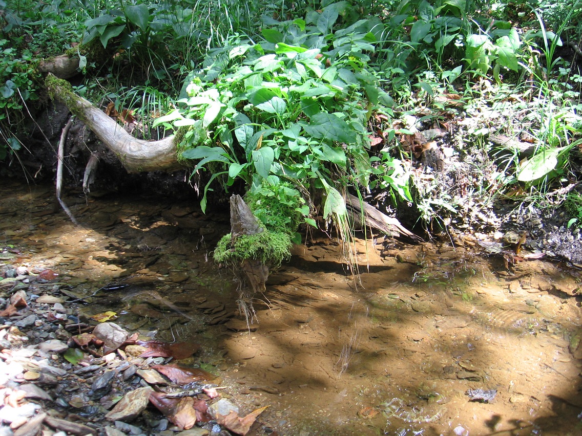
Interesting moss rimmed end of a stick projecting itself above the flow of Green Oz Creek at Wallace. A portion of Wallace’s rocky beach can be seen in the foreground. We’ll be talking about that beach quite a bit in coming posts.
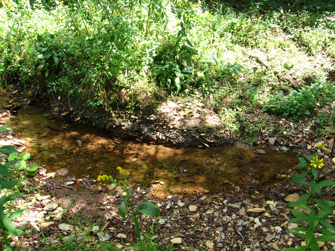
Wallace’s rocky beach in the foreground, and Tinsity’s similarly sized beach more in the background (“downtown” Tinsity to its right). Also in the foreground is seen the as yet unnamed murky or stagnant pool of water originally found about 2 years ago in my first explorations of the Tinsity area.

Interesting bank in Wallace originally pictured here as well. Hucka D. states this is most likely the remains of some kind of ancient city wall. The Wall.

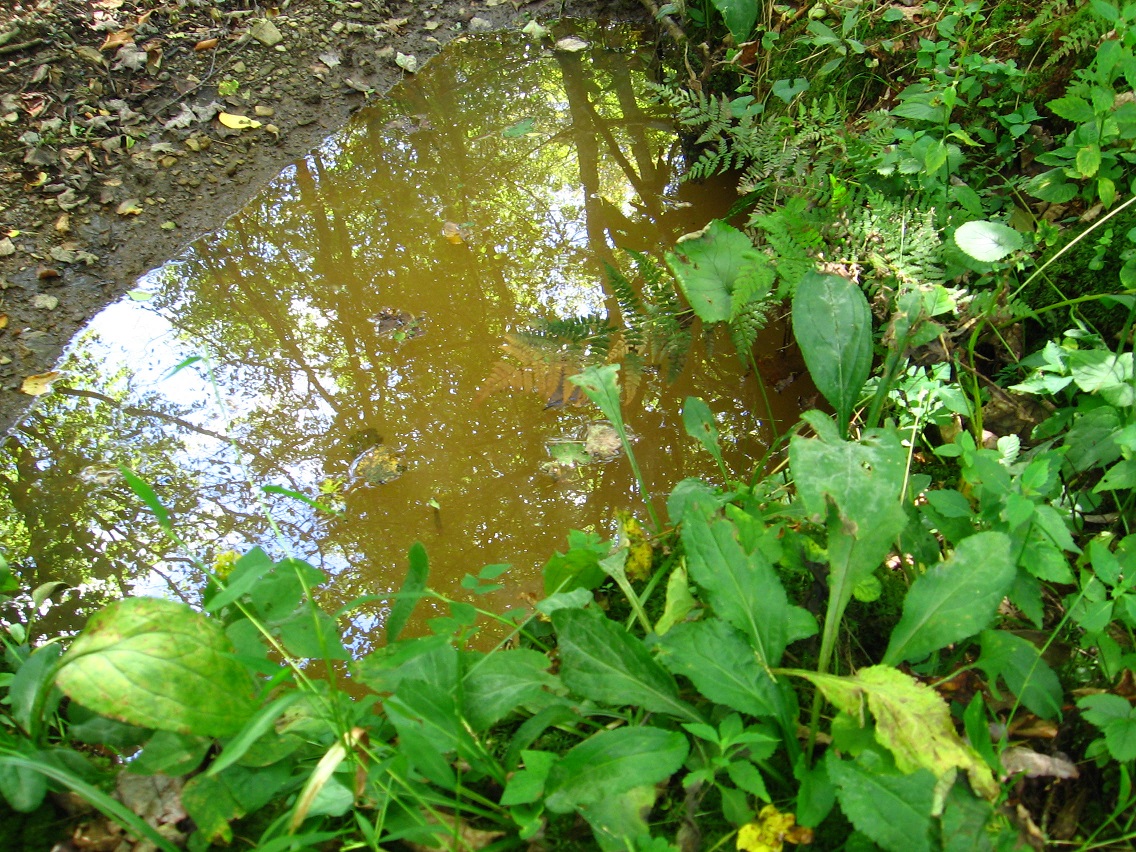
Closeup of the stagnant pool. Hucka D. is now indicating that the name is S. Pool, or perhaps Ace Pool. It is the result of a Tinsity/Wallace scientific experiment gone wrong.*
Main part of Tinsity, or what could be dubbed “The Avenue”.
Standout-ish rock on Tinsity’s beach. Another ancient artifact?

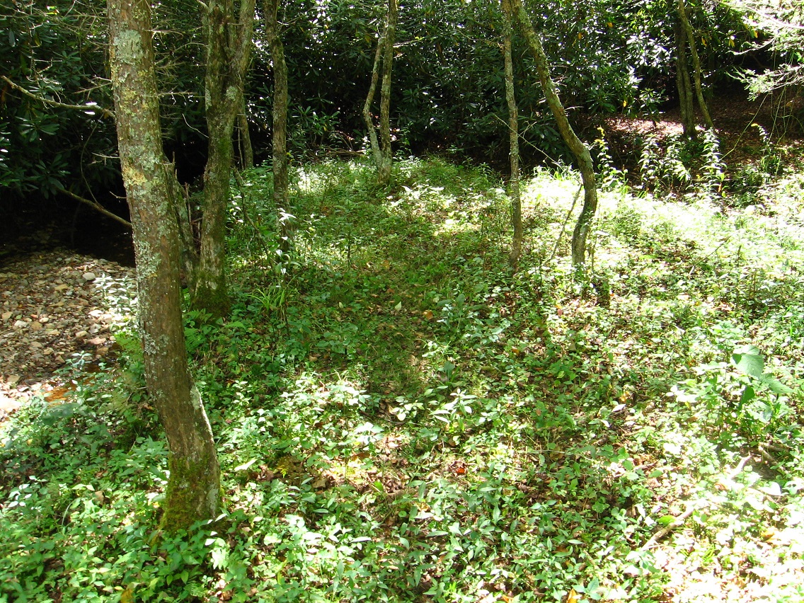
Barrier tree dividing both Wallace and Tinsity from the Bones area, considered somewhat haunted. Compare with here and here.

Alignment of 3 rocks in Dark Space. We are moving below Greenup through this space (called “Brownie” in ancient tongues) to reach Yellow Down and I. Rock (yes I have a name for it now!).

—–
* This same experiment may have caused Wallace’s several sinks holes found near the entrance to the town from the north, just before the Wallace Hump House.
