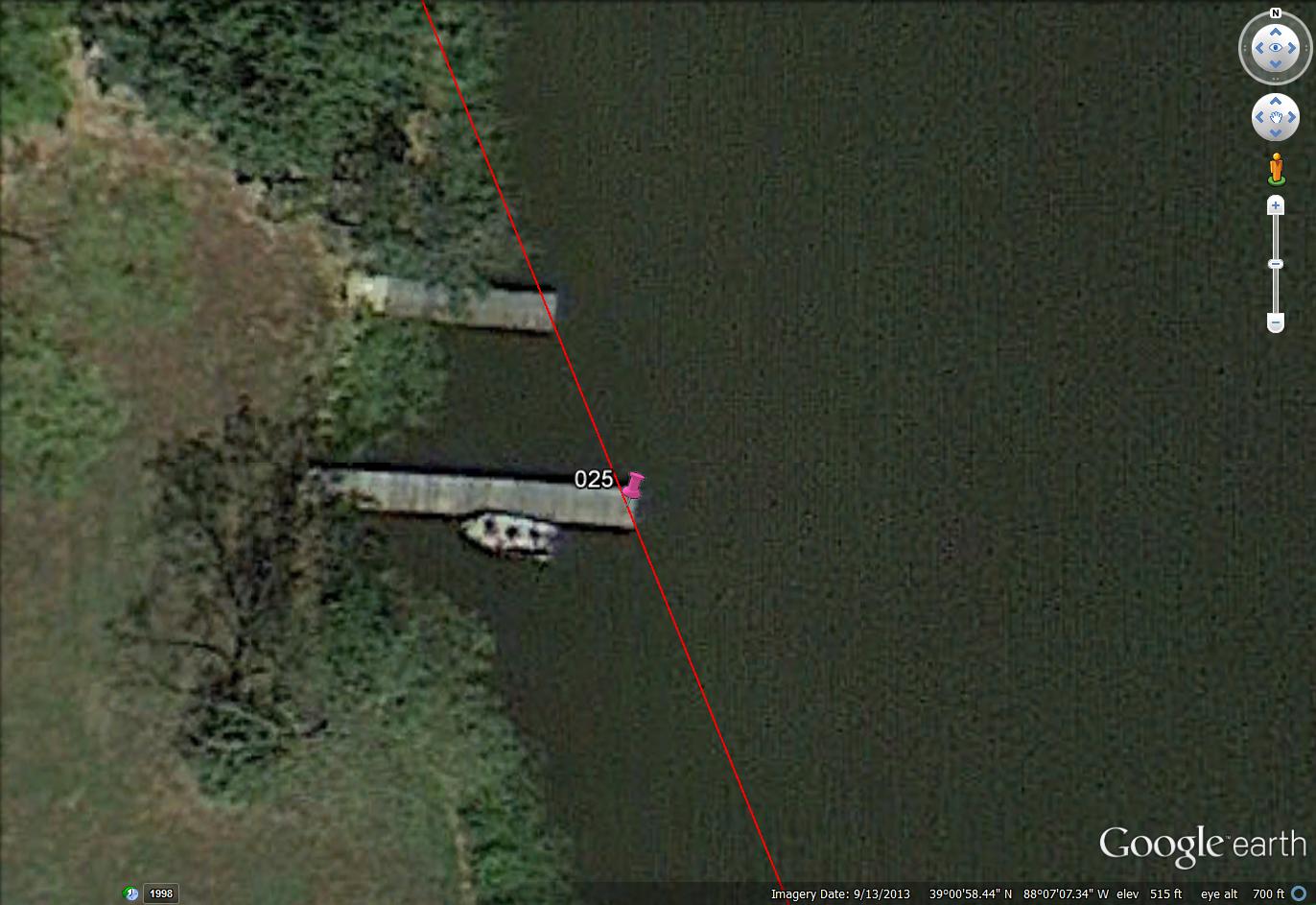
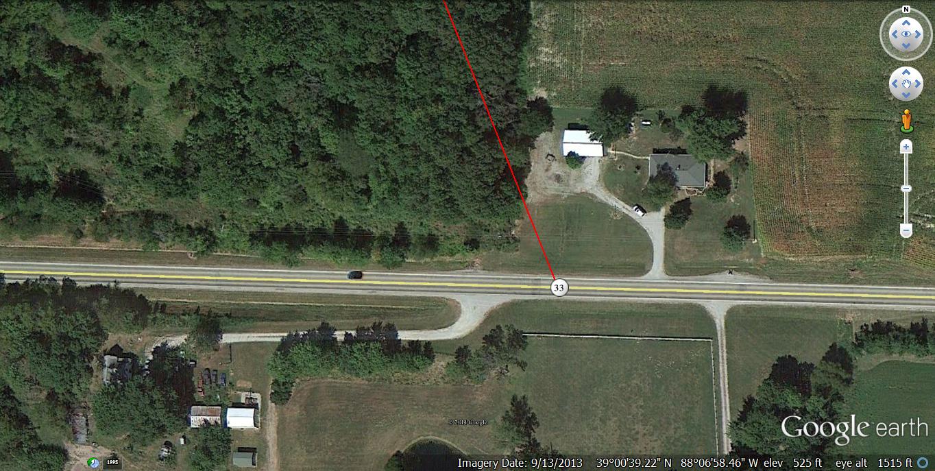
Prime line: 1.32 miles long. The line traverses Sam Parr Lake near its longest stretch of water, at an angle of approx. 338 degrees. The line grazes a quite suspicious number of peninsulas along the way, as I’ve marked on the map. Position 132 is at the upper end of the lake, 1.32 miles away from point 000. This can be read as 4 x 33 for our purposes. Position 33 is 0.33 miles up from position 000 on this line, or 1/4th the way up its length. This happens to mark the only boat found floating freely in the lake in this GoogleEarth map rendering from 2013, that is, away from any dock. Position 25 (0.25 miles from 000) just below marks the end of a pier where another, very similar looking boat is docked. The boat, just to the west of the 33 Line, is also 0.25 miles from position 000. It is the only boat besides the one at 033 not docked at the park’s marina, as far as I can tell. If the end of the SPSP 33 Line is determined to be at position 125 instead of 132, then point 025 is 1/5th the way up this slightly shorted version.

How the boat positions along the SPSP 33 Line appear to relate to musical harmonics:
http://en.wikipedia.org/wiki/Harmonic_series_%28music%29
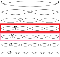

Boat 33 (at 0.33 miles) and Boat 25 (at 0.25 miles) define the 2 lake harmonics of 133 (1.33) and 125 (1.25) respectively. Boat 33 is situated at the 1/4th point of the former, and Boat 25 at the 1/5th point of the latter. Maybe they are the same type of boat, even. Maybe they are the *same* boat (:o) at slightly different points in space and time.