Daily Archives: September 8, 2015

Separation (too far?)

We’ve moved beyond the Blue Mtn. Urban Landscape.

Rediscovery is an old site renewed and enlarged. It is a place of exteriorization (still).

How do the toy avatars fit in here?

What of The Table and Carrcass-12? It is coming up (?).

I have separated myself from Karl’s energy by drawing even with him. Removal (like of Blue Mtn. Urban Landscape). What of Devine?

Rediscovery is too far. Bigfoot is a balance. Not too near not too far. Goldilocks.

For now.

Leave a comment

Filed under BIGFOOT, Blue Mountain

Rediscovery 09/07/15

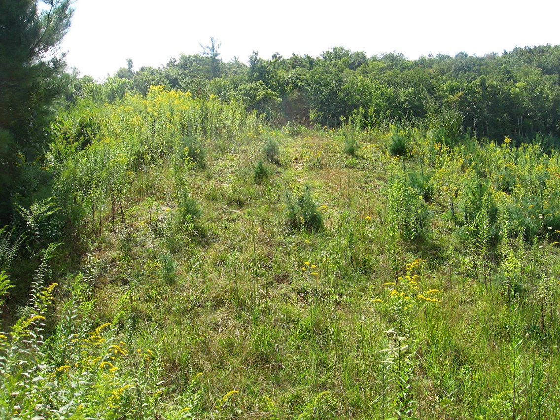
I hiked within Rediscovery on both Sunday and Monday of the past long Labor Day weekend. It feels important, especially when coupled with almost neighboring Bigfeet and Plateau of Raw Art. There’s no direct trail connecting the latter 2 with Rediscovery as far as I can tell. I’m going to keep looking but I’m doubtful — a shame. So near to each other yet so far. Blue Mtn. has this nack of segmenting its various focus spots from each other, it seems. Certainly all the local rhododendron plays a role here.

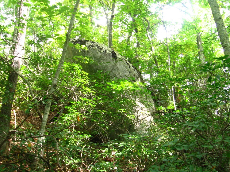
Below is a rock I’ve named Flattop, with a neighboring stone called Razor Edge. They project from the side of the mtn. just above Rediscovery. It’s actually a ridge, with a faint but quite walkable trail running along a large portion of it. This was yet another exciting discovery of the weekend. Evidence of camping doesn’t make its way up here from Rediscovery, however, although a kind of very loose trail does. This ridge actually separates Rediscovery from Bigfeet/Plateau of Raw Art, the latter which can be glimpsed below through the trees to the south as you walk along it. Again: so near yet so far.

IMG_0294smaller

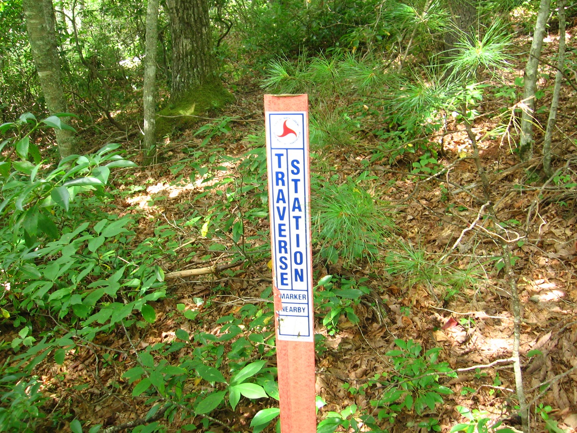
Moving back into Rediscovery, I found this sign marking a Traverse Station. I had to look up what that meant, and found this:

http://encyclopedia2.thefreedictionary.com/Traverse+Station

IMG_0298smaller

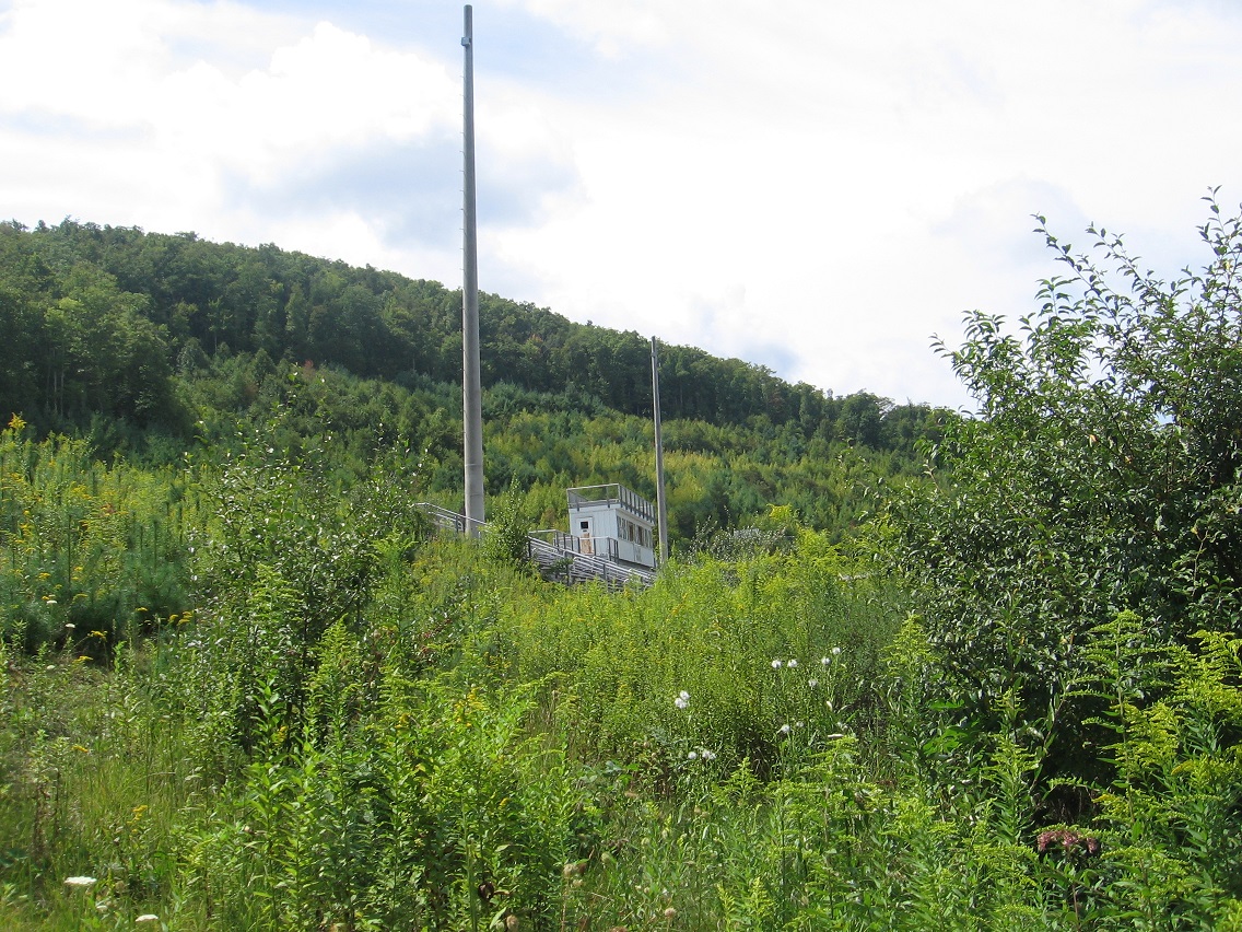
The power lines above the station. We are at the peak of the same ridge, but further down toward Leola Creek after a steep descent of maybe 200-250 feet.

IMG_0300smaller

And it was in this same area that my former campspot is found, where I erected a primitive teepee in the summer of 1984. My plan was to live in the teepee all that summer, but I only stayed there a month — May as I recall. I believe I’ve already mentioned this teepee in the blog, stating that I couldn’t figure out how to seal the top and just stuck an umbrella up there, ha ha. At the same time a good friend of mine was setting up an *actual* and official teepee about a mile and a 1/2 further up in the hills from here, off a tributary of Leola Creek as I’m thinking about it. I helped with this process, thus the inspiration to create my own rough copy. And I’ve mentioned this man in the blog as well: he worked with me at Maynard Jackson’s Cafeteria in Blue Mtn.’s Town Mall, along with another guy I’ve touched upon named Willard. Other friends and acquaintances also had their own teepees at the same time set up in various area locations. Wild times. Have I mentioned my play “Dump” here?

As I’m checking now, I see not, although I’ve mentioned the old Middletown dump here. Well, I’ll just briefly say here that Dump was a rough draft of a play I created in 1984 at the peak of all this teepee madness. The whole concept became legendary in the minds of a handful, and even sprouted its own era: The Age of Dump.

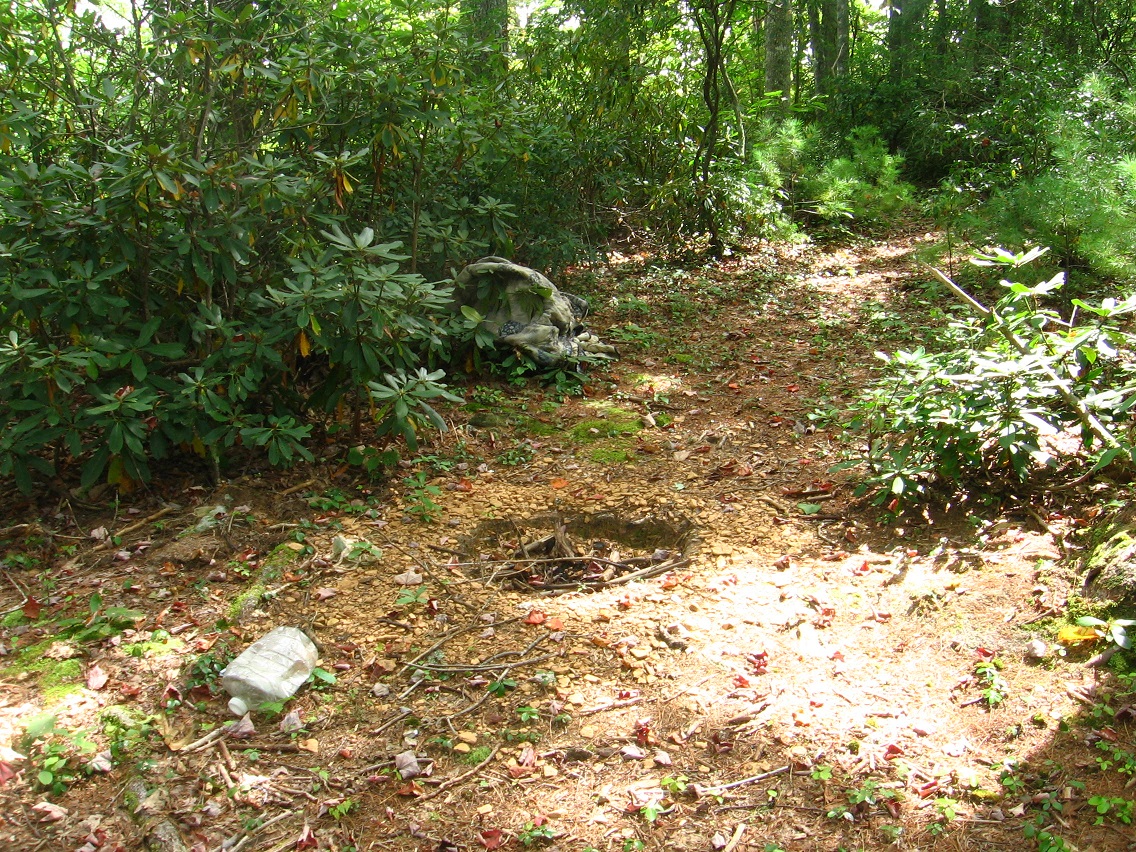
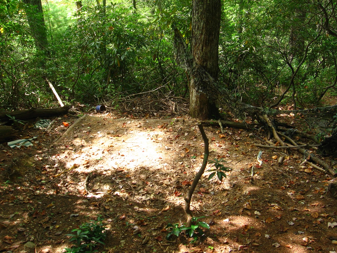
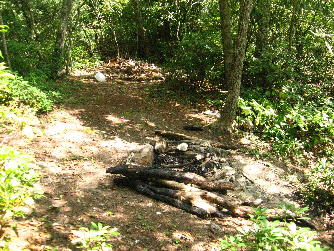
*Anyway*, below is a picture of the actual spot where I set up my *own* teepee in the place I now call Rediscovery. I haven’t been to this spot in perhaps 20 years, maybe longer. Again it lies at the top of the low end of the ridge forming a barrier between Rediscovery and the Bigfeet area to the east. And, again, I’ll make a map or set of maps of this whole area soon for better explanations of what’s going on here.

IMG_0301smallest

Firepit next to the old teepee site…

IMG_0303smaller

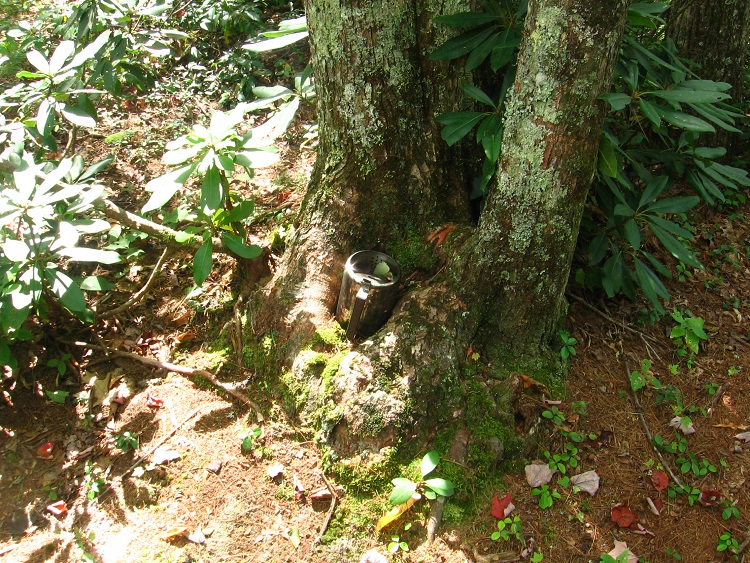
… with gleaming coffee pot.

IMG_0304smaller

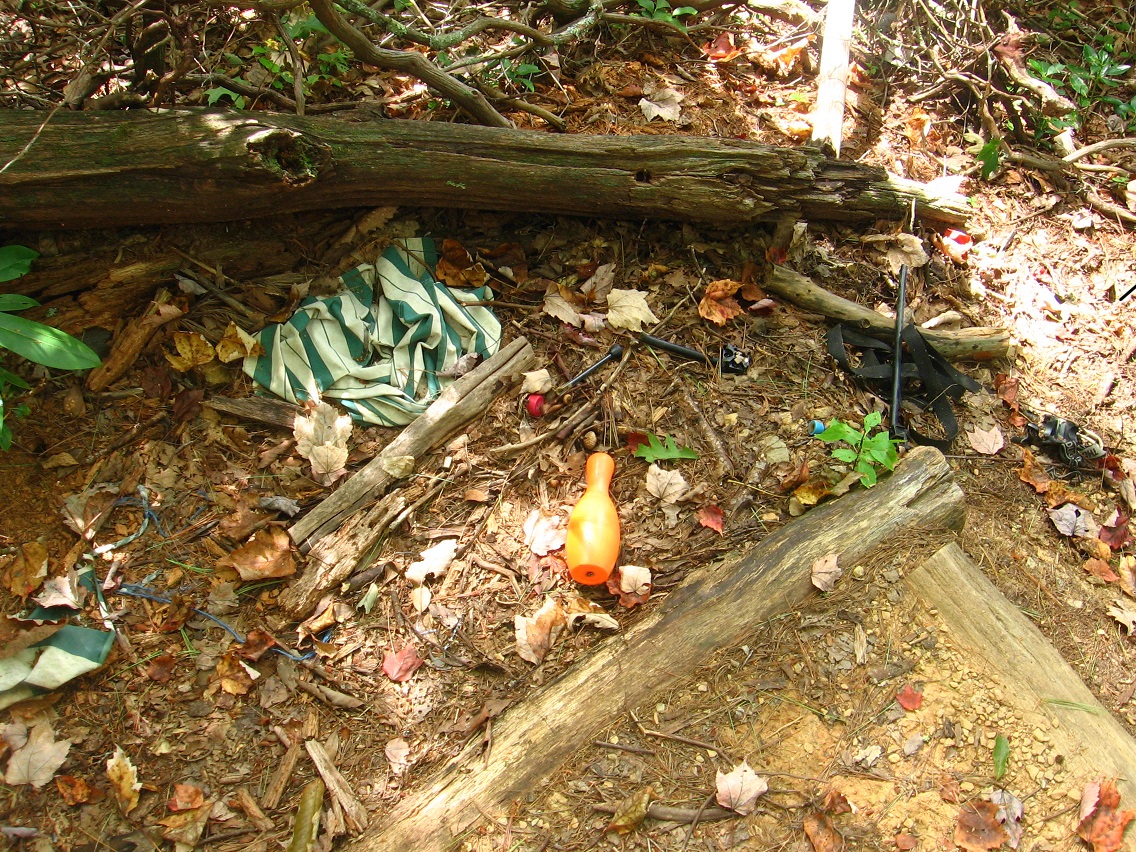
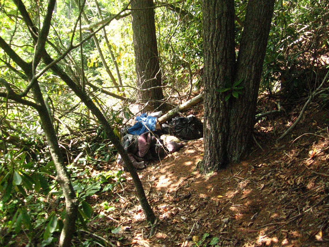
Here’s some pictures of one of several other camping spots found this weekend in Rediscovery.

IMG_0305smaller

IMG_0306smaller

IMG_0307smaller

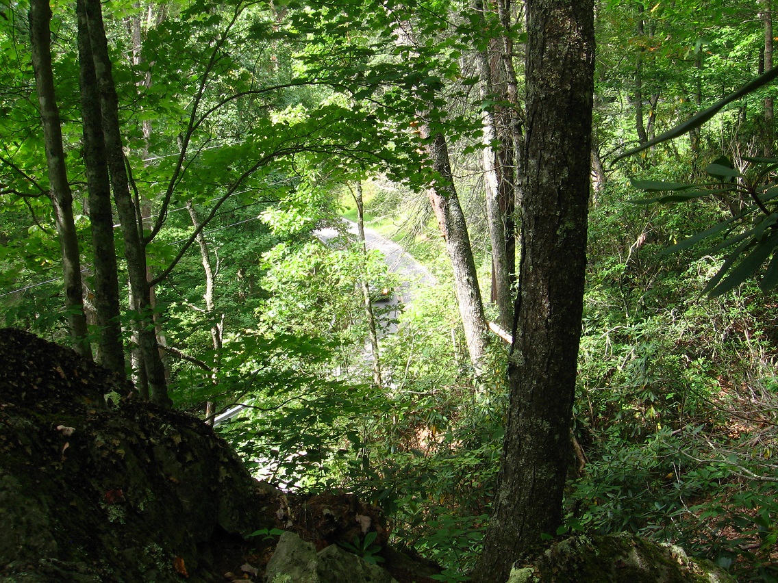
Glimpse of Leola Creek Road from a rocky perch.

IMG_0315smaller

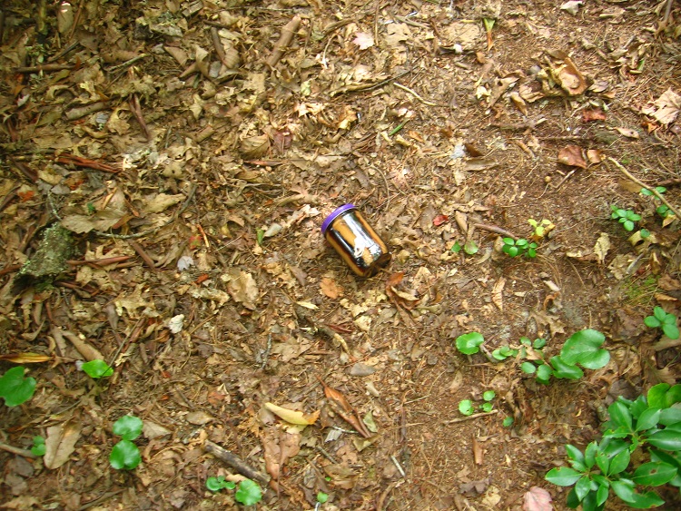
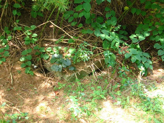
Someone left behind their peanut butter and jelly jar.

IMG_0317smaller

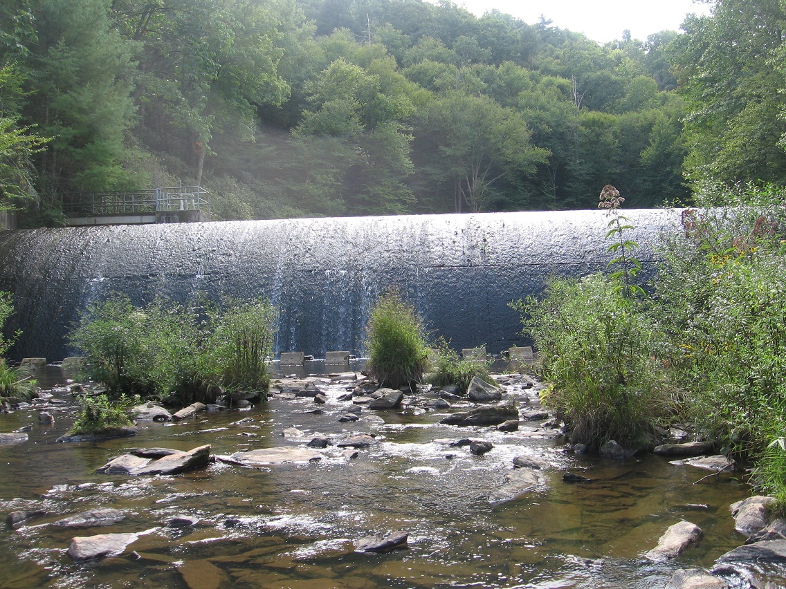
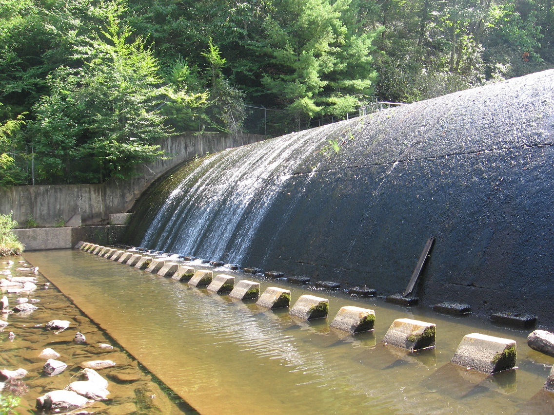
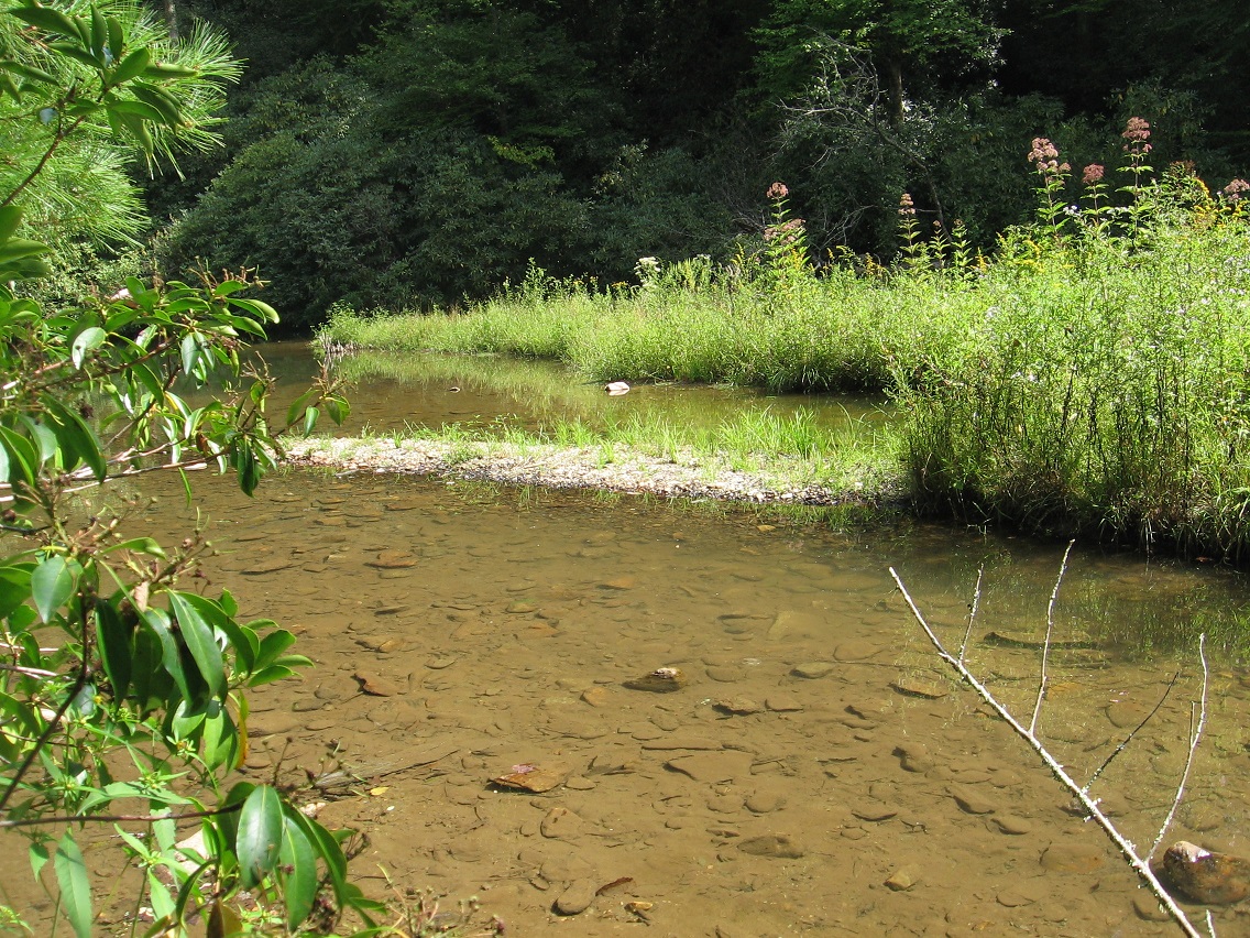
Yet another perch gives a nice view into the area’s formerly popular swimming hole on the creek. It’s still used, however, just not as much or as openly as before. I guess the place was shut down sometime around the turn of the century or so. Rough guess.

IMG_0319smaller

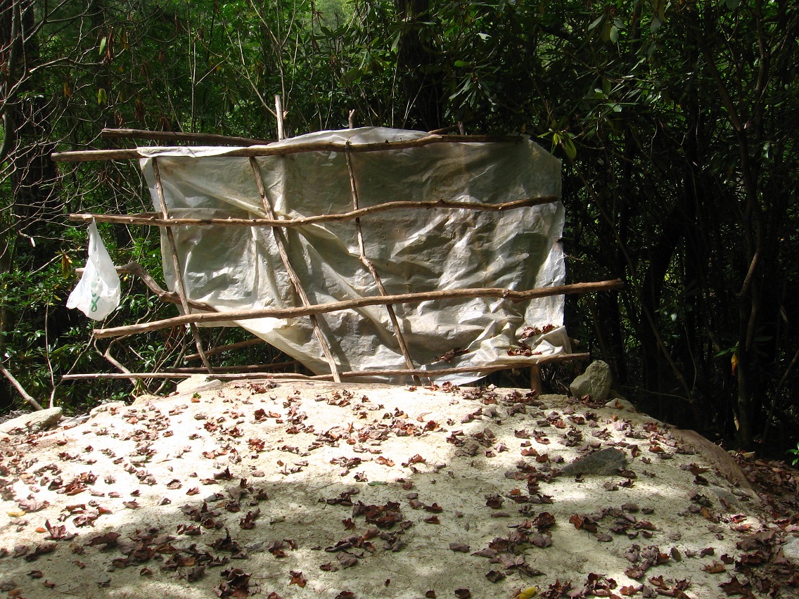
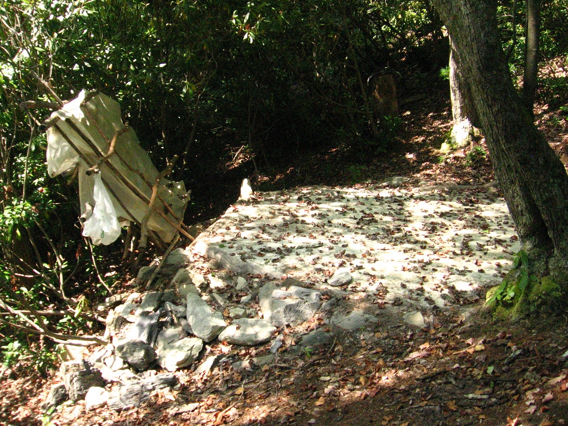
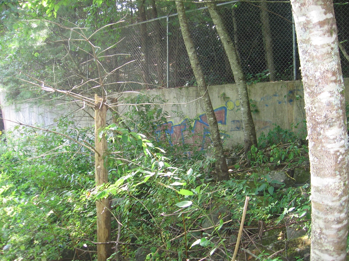
Another camping spot, this one with packed sand as a base. How did they get that sand up here? And then I found that you can actually see this white hexagonal base in GoogleEarth.

IMG_0324smaller

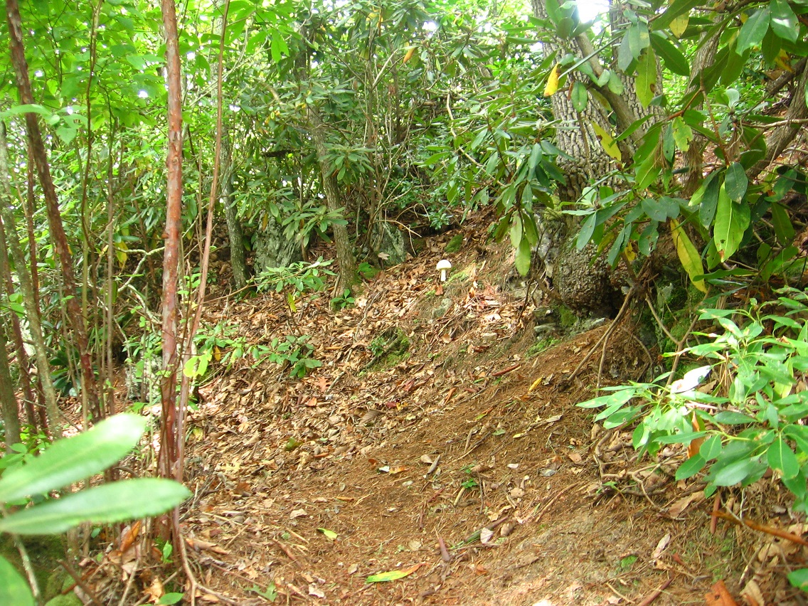
One more picture of the Rediscovery trail, with centering white mushroom.

IMG_0328smaller

Leave a comment

Filed under Blue Mountain

Bigfoot>Rediscovery 09/06/15

I discovered a praying mantis playing in the long grass near the se corner of The Plateau of Raw Art and decided the find was worth a picture.

IMG_0235smaller

As I’ve stated before, a small stream flows underground through Bigfeet from this plateau, crossing under 3 of the 4 main roads in its swift, downward progress toward Bigfoot Swamp. A concrete square marks each crossing, such as this one on the northernmost road. And I believe I’m able to make a rough map of Bigfeet now from memory. Soon!

IMG_0238smallest

Bank connecting Bigfeet to the plateau from this road.

IMG_0243smaller

Part of the football stadium projecting upward from this angle.

IMG_0245smaller

The track runs very close to Bigfeet — probably can be said to border it.

IMG_0250smaller

We now move further up Leola Creek to an important junction with a very similar sized stream. It’s another either/or case, just like when Leola joins with Blue Mountain Creek in the center of the Blue Mtn. Urban Landscape further downstream. The name Leola could follow the flow of either creek. In this case, the name follows the flow to the right in the photo. The bridge I took this picture from is found near the beginning of Rocky Branch Road that I’ve also touched upon before. We’re about a third of a mile above Bigfeet here.

IMG_0265smaller

And then *between* Bigfeet and Rocky Branch Road — still on Leola Creek — I *rediscovered* a place I use to camp at for a bit in the mid-1980s. I’ve decided to call it Rediscovery, simply enough. In the time between when I use to camp there in both a makeshift teepee and a tent, someone has created a rather complex weave of trails on either side of Leola Creek Road than runs through the area. And on these trails is found numerous evidence of more recent camping, probably by students from the local Blue Mtn. State College.

IMG_0266smaller

IMG_0269smaller

IMG_0270smaller

The trail system is divided into 2 logical parts by the road. The northern part follows the low and often rocky cliffs above Leola Creek. The southern part follows the creek itself, all the way to a formerly popular swimming hole now banned from use by the town. But people still come there obviously. I was at least wise enough to stay away from the pool, as it can be seen by cars from the road. Want to stay out of trouble as much as possible!

This dam is found at a lake below the swimming hole, which you pass around to get to the latter. In the summer, you *can’t* really be seen from the road here, at least by passing cars. It’s only when you move close to the hole and pass the lake that one can really be seen. Nice.

Of course you have to park your car somewhere to get to the trails unless you walk directly from the Blue Mtn. Urban Landscape, which is quite doable, actually (as I tested out this day of picture snapping). And there’s really only one possible spot in which to park a car. The trailheads shoot north and south from this parking area. You can exit the road quickly and get out of sight on either side. That’s a potentially important consideration.

IMG_0275smaller

IMG_0281smaller

IMG_0285smaller
Upper end of as yet unnamed lake.

IMG_0286smaller
Graffiti at the dam site.

Leave a comment

Filed under BIGFOOT, Blue Mountain