
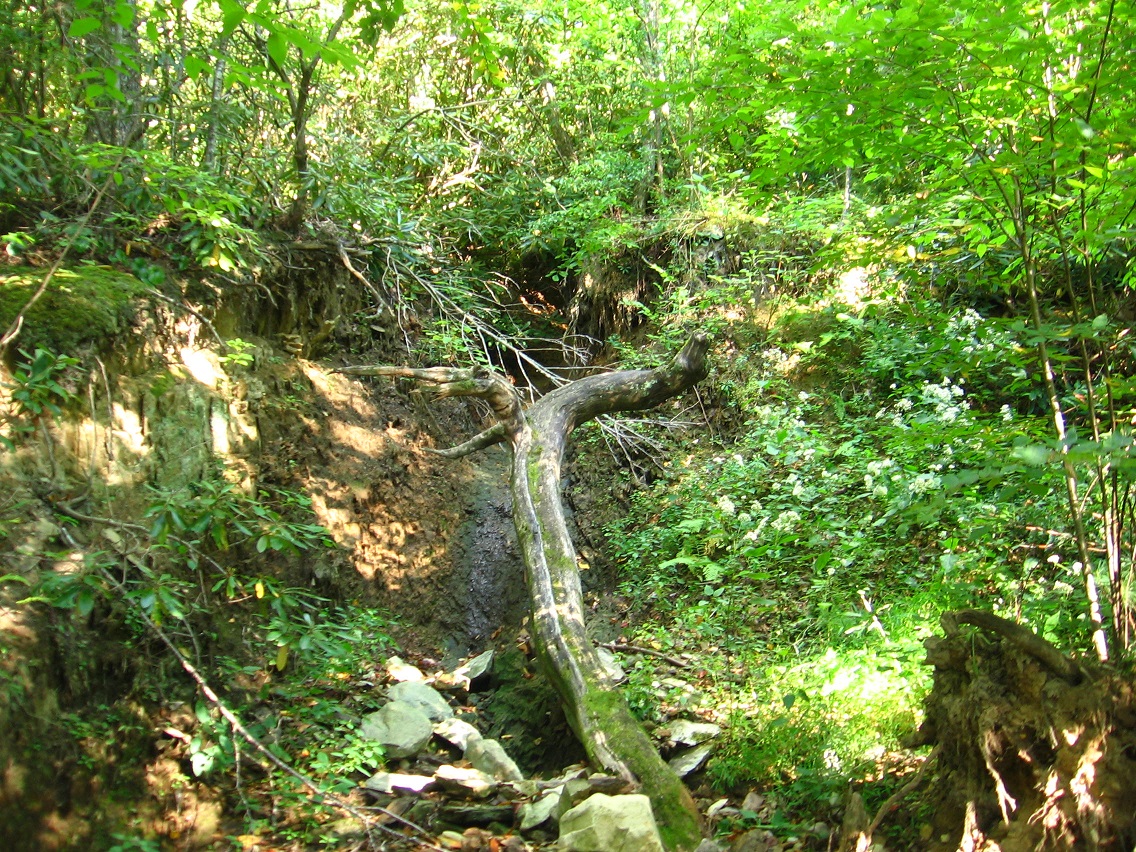
The territorial extension of Rediscovery continues, with exploration on the south side of Leola Creek this weekend. Below is a picture of a large gully that would contain an interesting and meaningful waterfall in heavier rains. In fact, I’m pretty certain I’ve seen such a phenomenon through the trees while driving down Leola Creek Road during said situation. As with a lot of my pics, the gully is more impressive in person that the photo suggests. I look forward to seeing the temporary waterfall up close sometime. I might even think up a name for it in the meantime.
The paths and roads running through Rediscovery are increasing weekly. An old road was found up from the gully pictured above. Here’s a tree I spotted just off this road, which runs north and west of a local water purification plant.

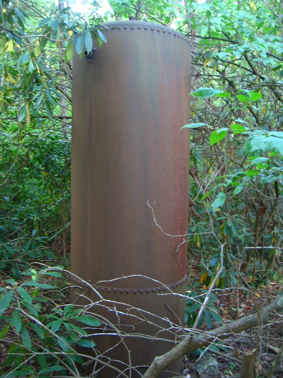
Beginning around this tree a loose or faint path runs down from the old road along a ridge for about 100 yards or so, until it meets some houses. Here’s what I found at the low end of this path. I’m guessing this is an antiquated water heater but unsure.
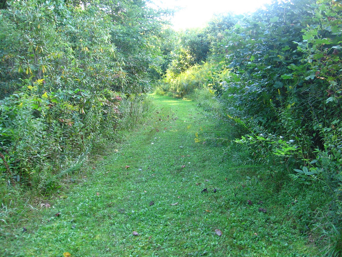
Meanwhile the old road becomes grassier and better kept as it continues west around the plant.
This is the general area where I crossed Leola Creek to access the whole “southside” area, a parting shot while heading back to my car parked just off Leola Creek Road. I don’t think I’ll do that a lot, however. Best to park in the Blue Mtn. Urban Landscape proper and walk up to Rediscovery. That’s another advantage to Bigfeet I suppose — easier walking access from BMUL.


Pingback: Rediscovery 9/17/15 02 | Sunklands