We now move down and across Leola Creek to the new part of Rediscovery uncovered the weekend before this one. LINK . The below photos show more details of a central gully I mention at the first of that earlier post I just linked to, which in heavier rain, would create quite a nice little waterfall I would suppose. I don’t have a name for this “falls” yet. Could this possibly be the fabled lost Marble Falls, where marbles fall back into reality that have been misplaced in previous times?

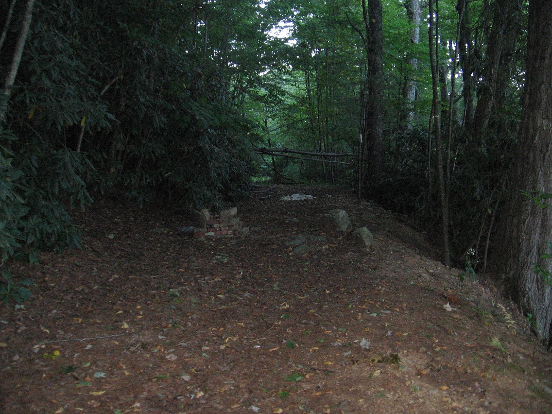
Another shot of an old road that bisects the gully along its way. This is the one that runs both north and west of a Blue Mountain water treatment plant.
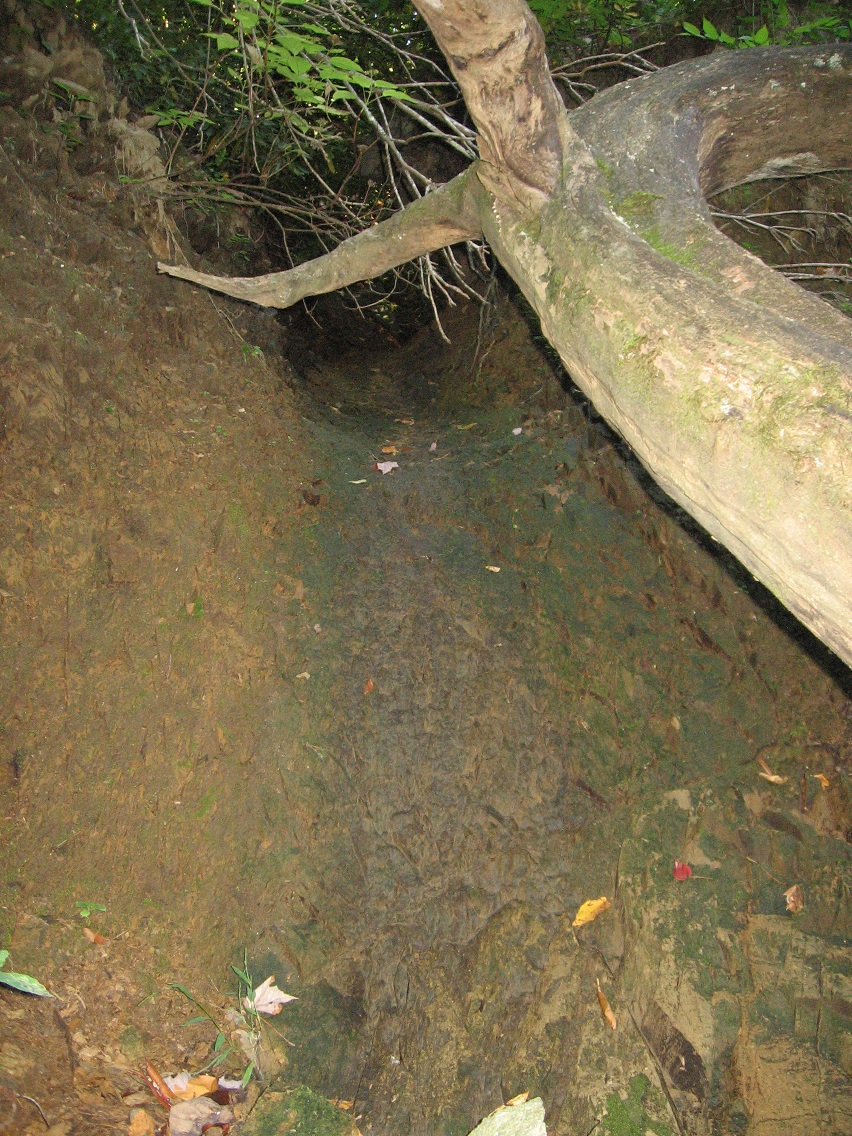
Another surprise: the stream that sometimes flows through this gully with the projected falls has a very physical and concrete source.

I actually looked up this model and found the following link:

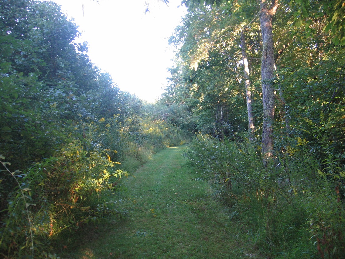
If we continue east along the road pictured above, we soon encounter a wetter, weedy part that’s harder to traverse, acting as a pretty efficient barrier between Water Plant Road to the east and points west (like the gully). This colorful log was found on the other side of the seep.

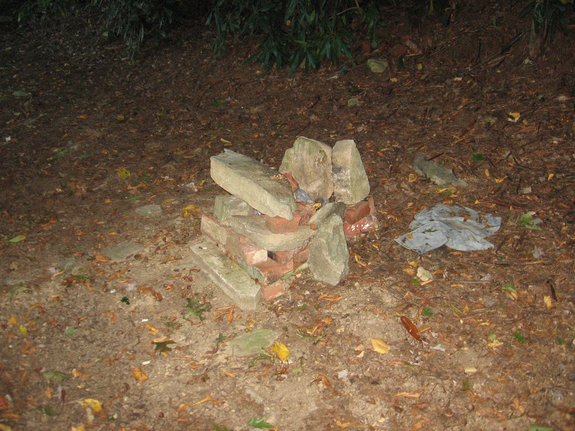
Continuing along this road toward Water Plant Road we encounter yet more evidence of camping past and perhaps even present.