Daily Archives: September 20, 2015

Rediscovery 09/19/15 > 09/20/15

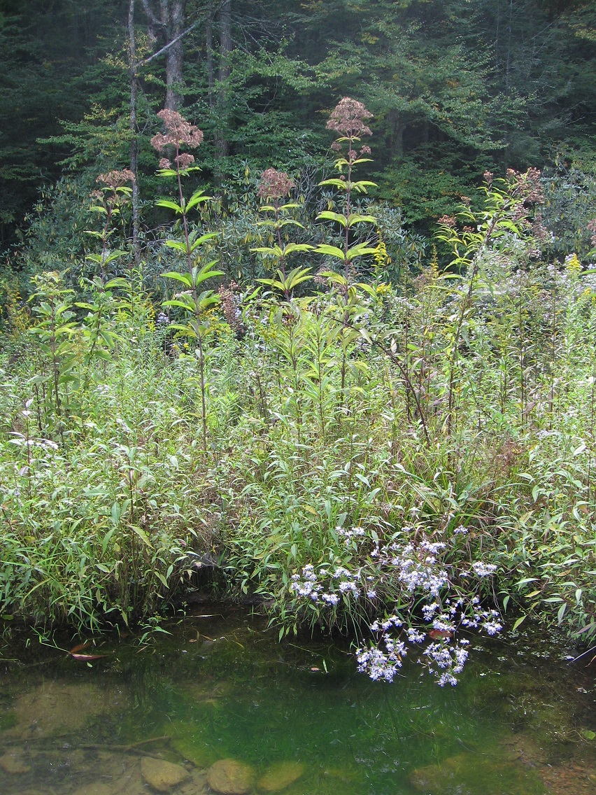
Joe Pye weeds of Finger Island, with flowers a bit past their peak color.

IMG_0061smaller

The Finger from its tip. So regular and un-natural seeming.

IMG_0065smaller

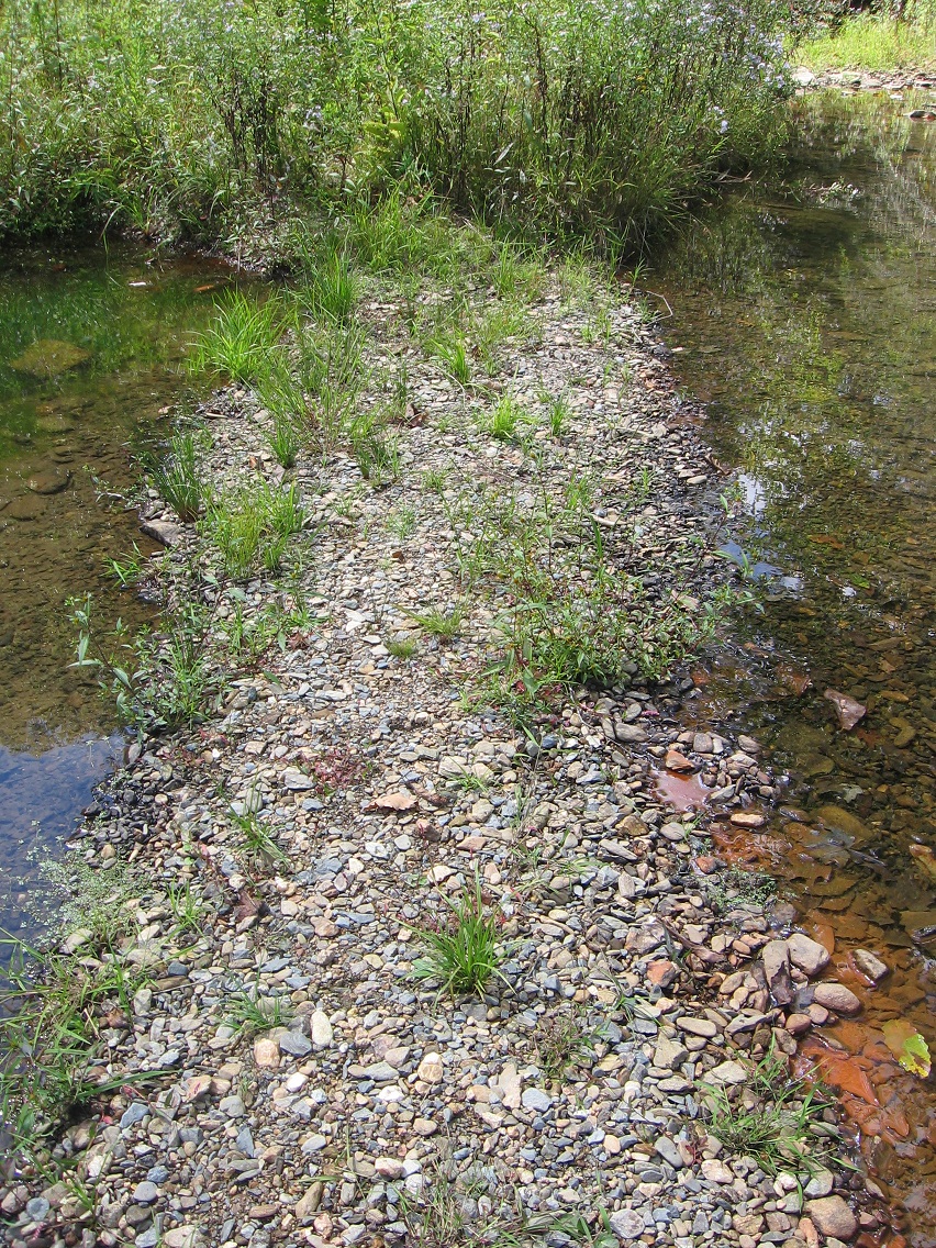
This is the place off the path running along the northern shore of Finger Lake where I accessed the island. I suppose the associated rock pictured below becomes Access Rock? You simply cross the trunk of a small fallen tree just below the rock to easily reach the island. I would guess Finger Island is a third as big as the whole lake itself. Could be overestimating this.

IMG_0074smaller

Weeds along the trail. We are definitely on the doorstep of autumn.

IMG_0086smaller

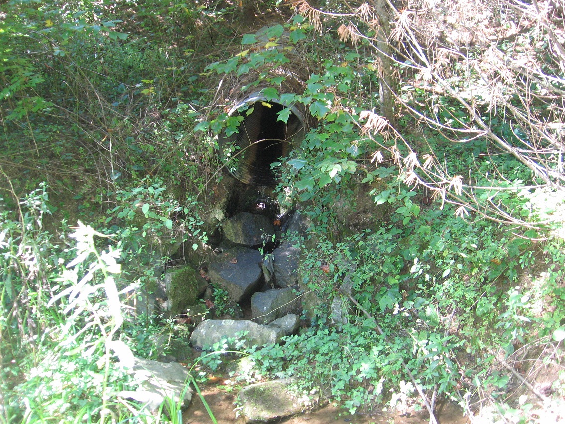
These stepping stone style rocks are where I cross Leola Creek below the Finger Lake dam to get to the most southern part of Rediscovery.

IMG_0087smaller

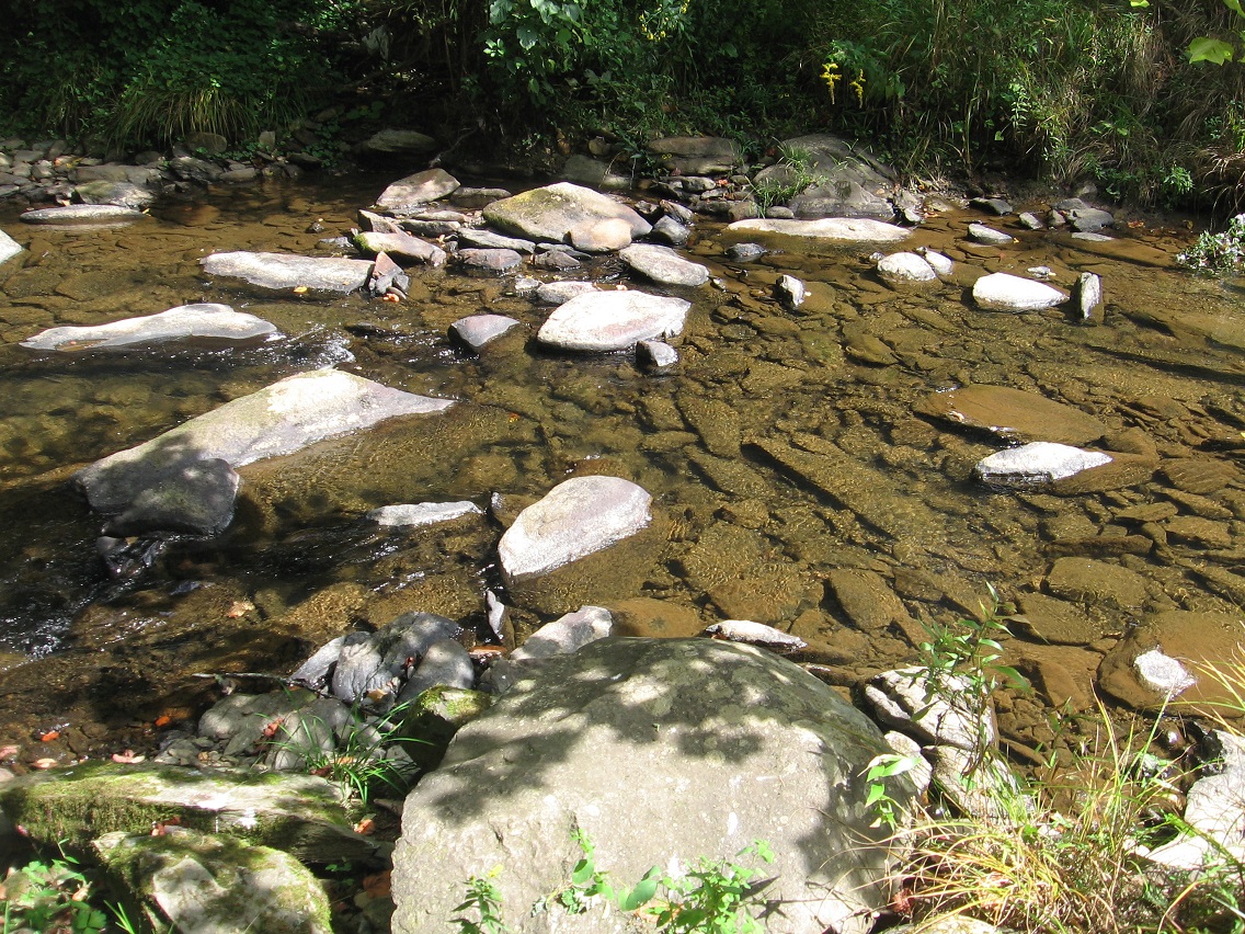
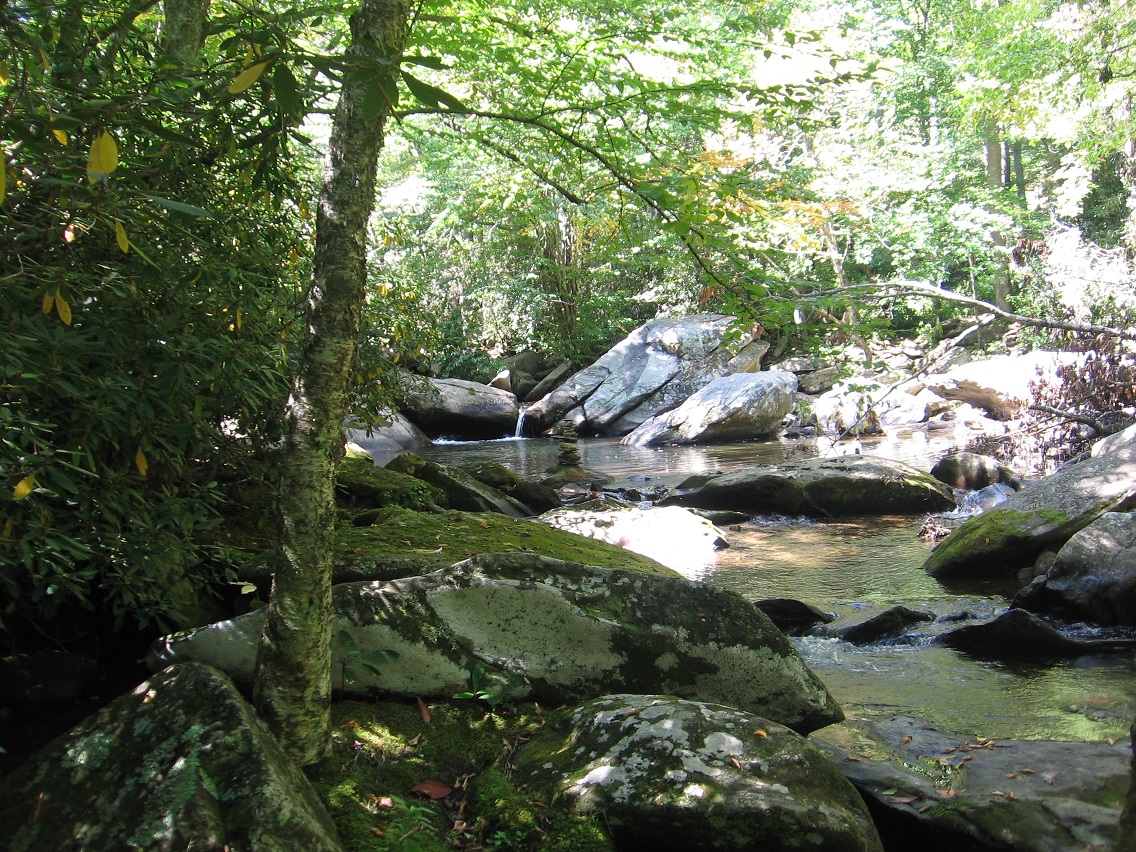
Nearby elongated rock in the center of the creek.

IMG_0088smaller

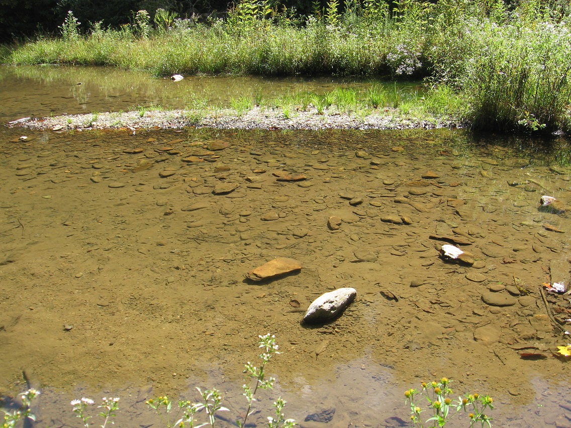
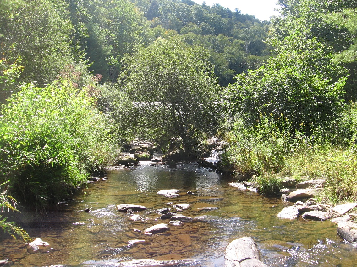
Looking back toward the dam from the crossing.

IMG_0089smaller

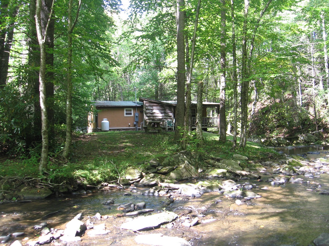
A house probably marking the eastern edge of Rediscovery, where wilderness meets civilization again.

IMG_0092smaller

And then we come to locations from the next day, which would be yesterday as I’m writing this text. This is the first time this summer — and years and years actually — that I’ve explored this region, which can be accessed by an old road splitting off from Water Plant Road to the *south* (as Rediscovery lies north of this same road). Much more woods are found here, with multiple old roads crossing the area. The below photo depicts a more open area in these woods.

IMG_0101smaller

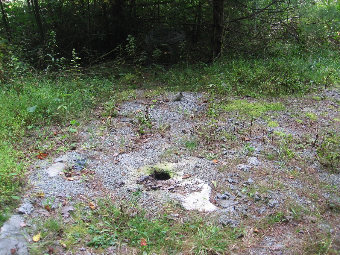
These snapshots comes from the edge of a a torn down plant once making top secret electronics.

IMG_0104smaller

IMG_0108smaller
with The Hill in the background

Leave a comment

Filed under Blue Mountain

Rediscovery 09/19/15

Cattails of Bigfeet Swamp. For now, I’m reverting the name of the area surrounding this swamp to Bigfoot (instead of Bigfeet), but the swamp retains the changed name. I do this for google search reasons, and the need to keep hiding my local woodsy finds from, well, the locals.

IMG_0035smaller

*Bigfeet* Swamp intake in *Bigfoot*, then. Confusing? Well, tuff. 🙂

IMG_0037smaller

Then it’s over to Finger Lake in Rediscovery again. Nice green algae at the bottom, but this is suppose to represent the reservoir we get the town’s drinking water from? Hmm.

IMG_0038smaller

The Finger of Finger Lake once more.

IMG_0042smaller

Upstream: the banned waterhole again. In the center of the photo you can see a rather complex rock cairn that has formed on one of its larger rocks since last weekend. Nice.

IMG_0044smaller

Waterhole > Finger Lake, its namesake, weed bedecked island ablaze in the sun. Actually about the only thing you can make out on the island is the small Pinkie peninsula, emerging from the near side of the overexposed region and pointing right at us.

IMG_0053smaller

Finger Island and another mysterious thing about it: what appears to be some kind of purposeful stick creation near its eastern tip. Looks human-made to me.

IMG_0054smaller

More close up. What is the purpose of this?

IMG_0056smaller

Discolored, oily water at the tip of the finger.

IMG_0057smaller

The small rocks composing The Finger continue underwater past this tip.

IMG_0058smaller

Leave a comment

Filed under BIGFOOT, Blue Mountain