
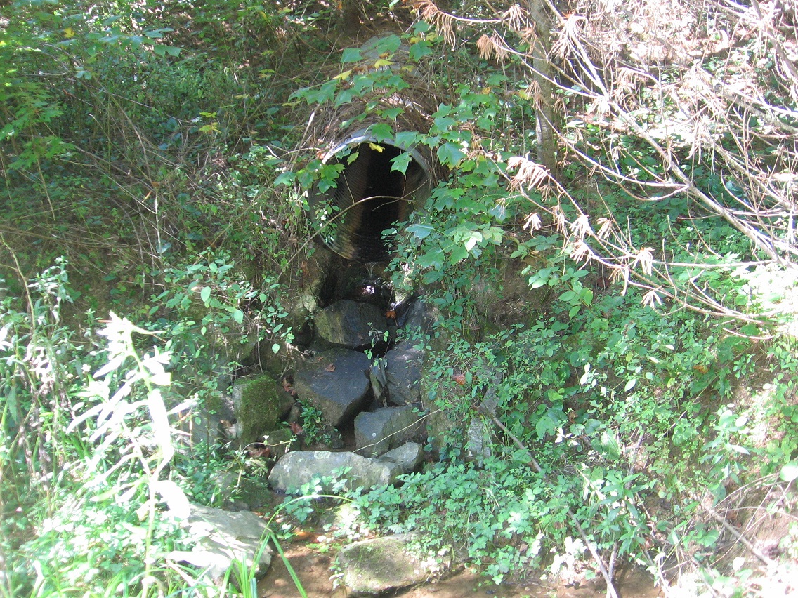
Cattails of Bigfeet Swamp. For now, I’m reverting the name of the area surrounding this swamp to Bigfoot (instead of Bigfeet), but the swamp retains the changed name. I do this for google search reasons, and the need to keep hiding my local woodsy finds from, well, the locals.

*Bigfeet* Swamp intake in *Bigfoot*, then. Confusing? Well, tuff. 🙂
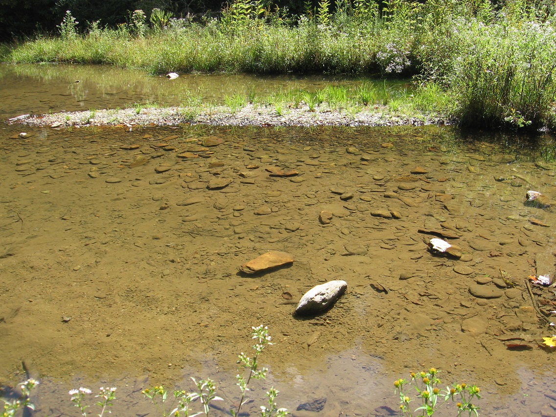
Then it’s over to Finger Lake in Rediscovery again. Nice green algae at the bottom, but this is suppose to represent the reservoir we get the town’s drinking water from? Hmm.

The Finger of Finger Lake once more.
Upstream: the banned waterhole again. In the center of the photo you can see a rather complex rock cairn that has formed on one of its larger rocks since last weekend. Nice.
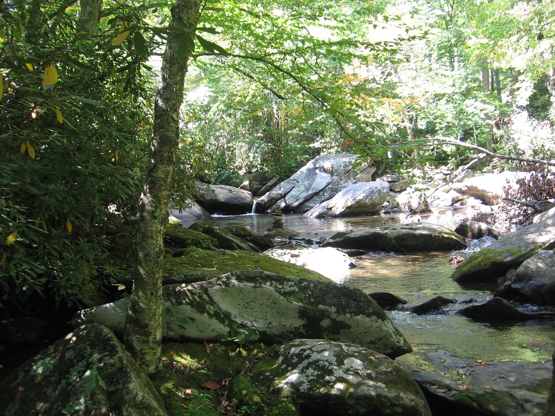
Waterhole > Finger Lake, its namesake, weed bedecked island ablaze in the sun. Actually about the only thing you can make out on the island is the small Pinkie peninsula, emerging from the near side of the overexposed region and pointing right at us.

Finger Island and another mysterious thing about it: what appears to be some kind of purposeful stick creation near its eastern tip. Looks human-made to me.

More close up. What is the purpose of this?

Discolored, oily water at the tip of the finger.
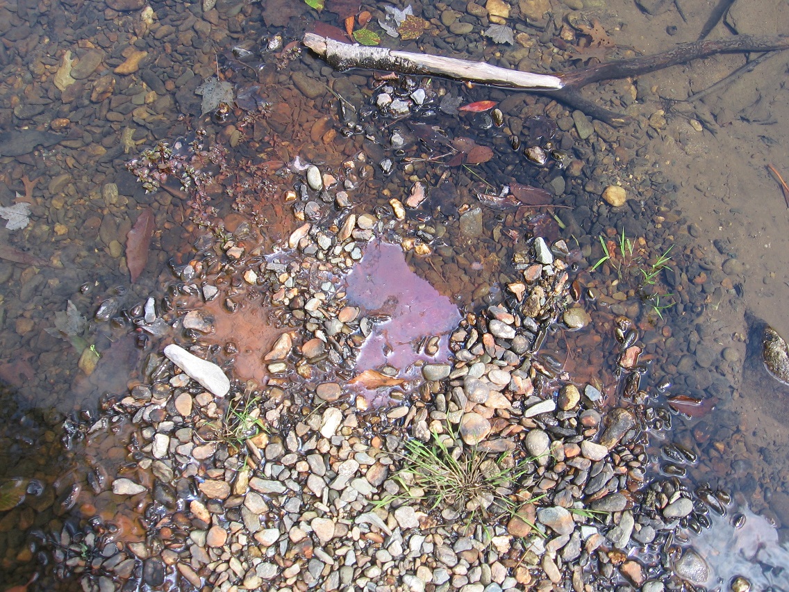
The small rocks composing The Finger continue underwater past this tip.

