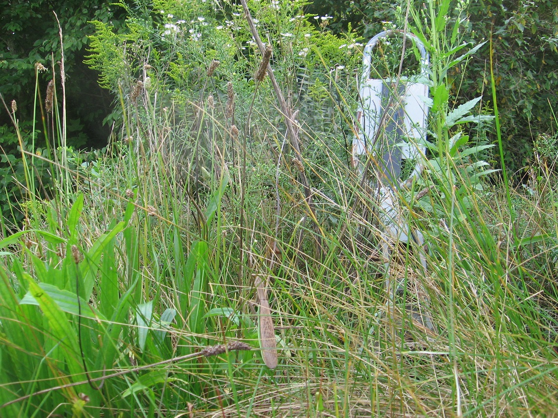
I discovered a praying mantis playing in the long grass near the se corner of The Plateau of Raw Art and decided the find was worth a picture.

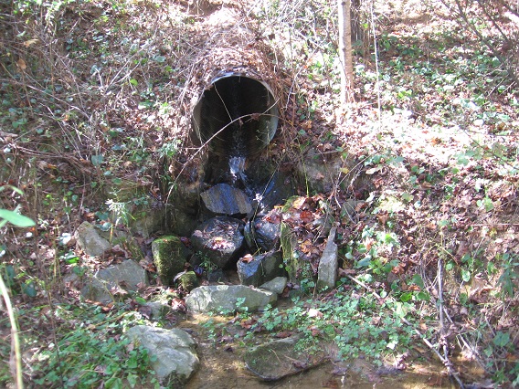
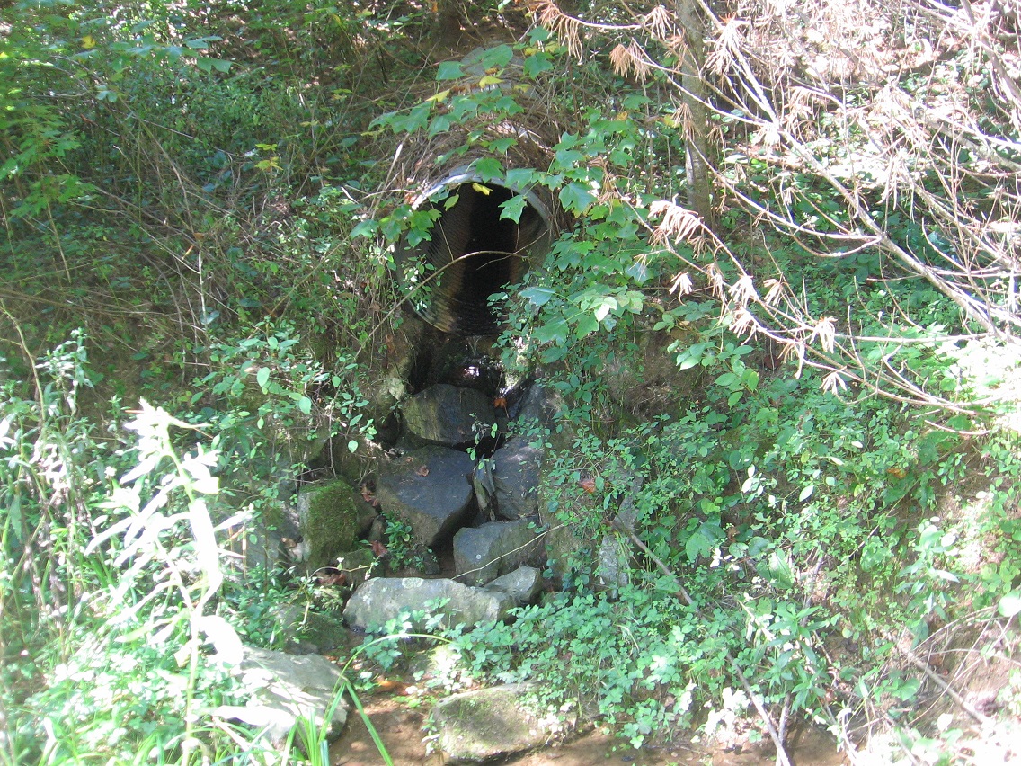
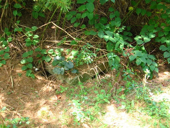
As I’ve stated before, a small stream flows underground through Bigfeet from this plateau, crossing under 3 of the 4 main roads in its swift, downward progress toward Bigfoot Swamp. A concrete square marks each crossing, such as this one on the northernmost road. And I believe I’m able to make a rough map of Bigfeet now from memory. Soon!

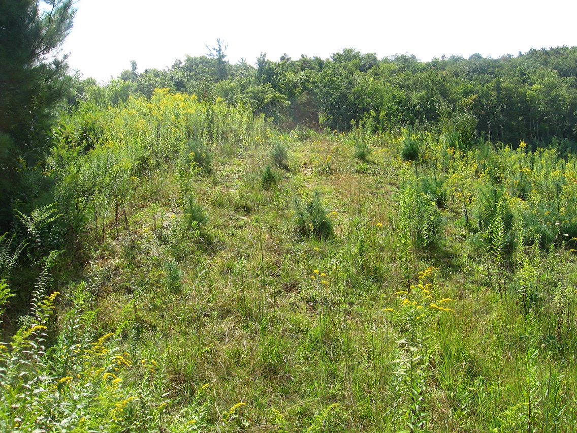
Bank connecting Bigfeet to the plateau from this road.

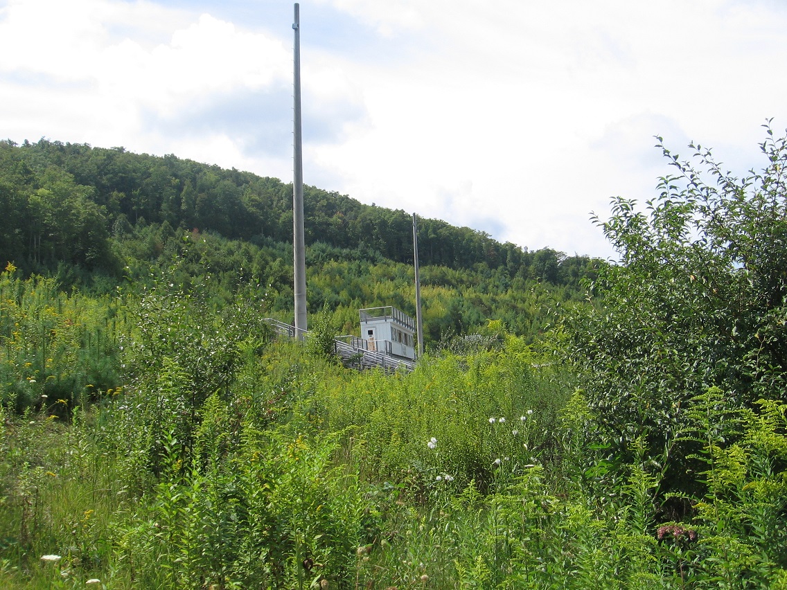
Part of the football stadium projecting upward from this angle.

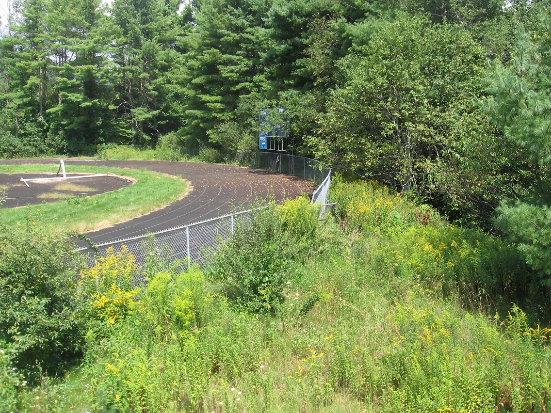
The track runs very close to Bigfeet — probably can be said to border it.

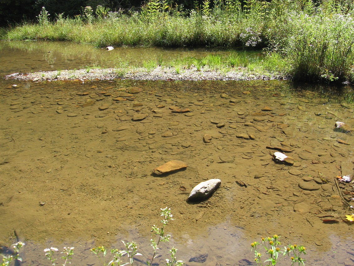
We now move further up Leola Creek to an important junction with a very similar sized stream. It’s another either/or case, just like when Leola joins with Blue Mountain Creek in the center of the Blue Mtn. Urban Landscape further downstream. The name Leola could follow the flow of either creek. In this case, the name follows the flow to the right in the photo. The bridge I took this picture from is found near the beginning of Rocky Branch Road that I’ve also touched upon before. We’re about a third of a mile above Bigfeet here.

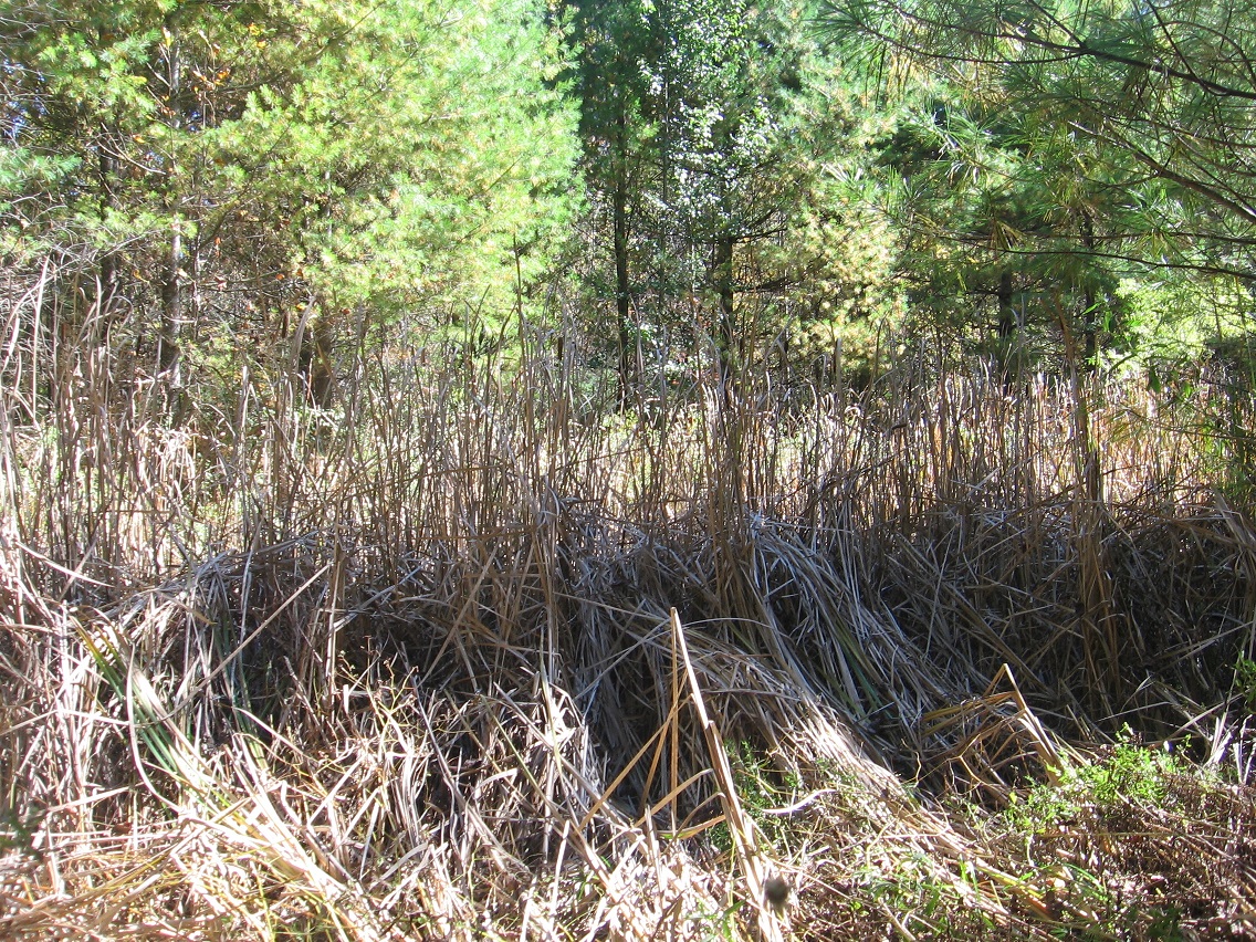
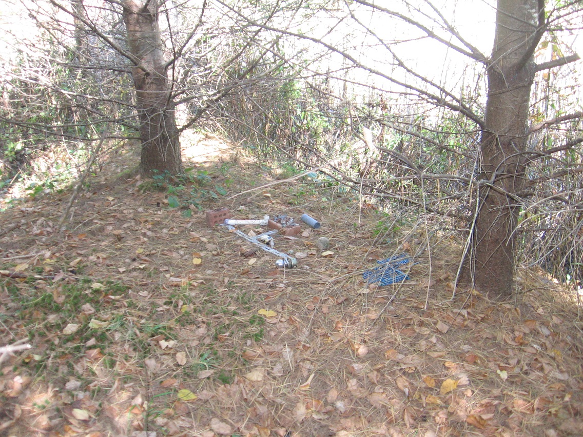
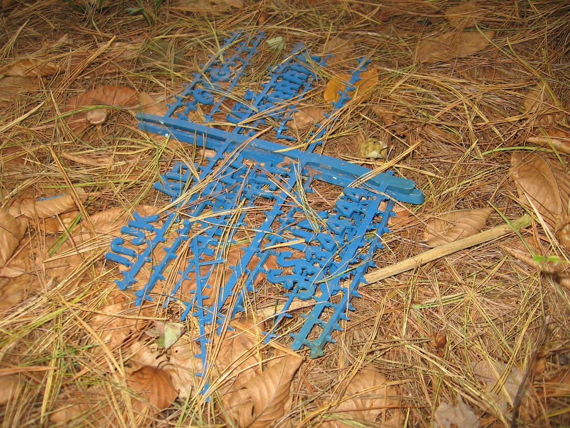
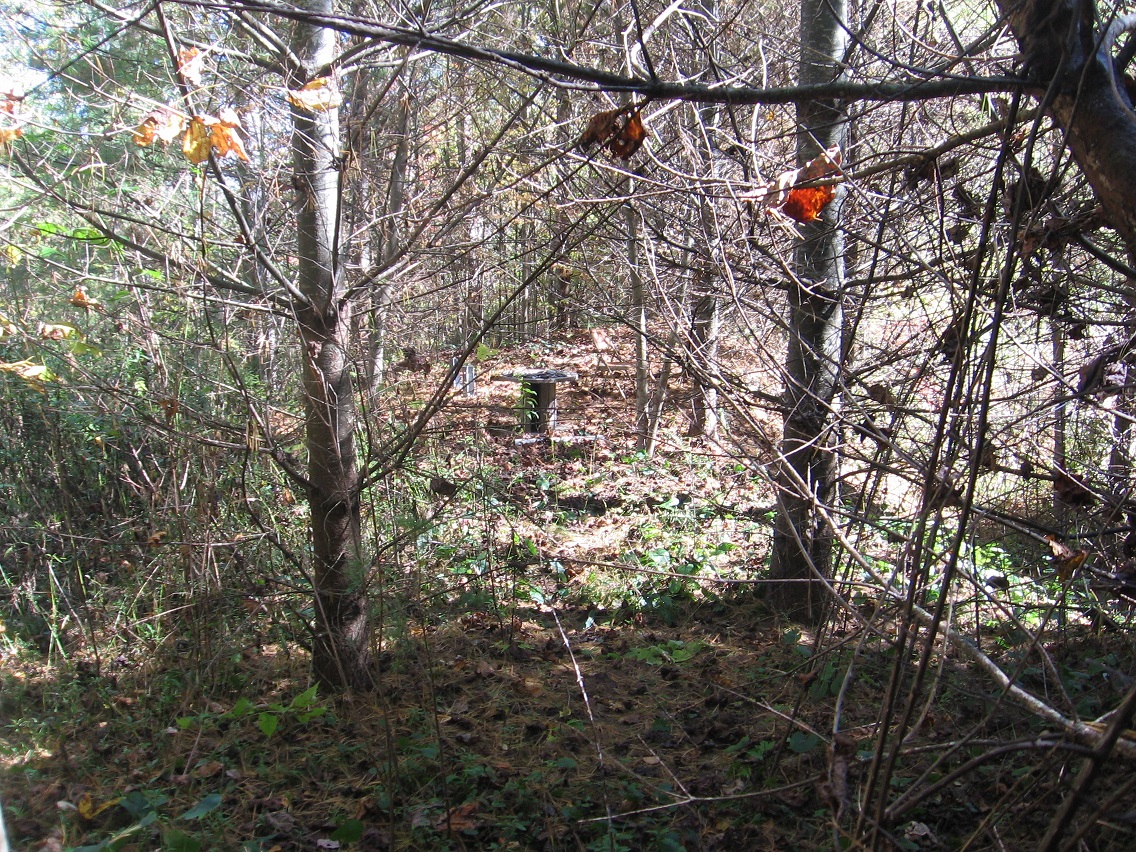
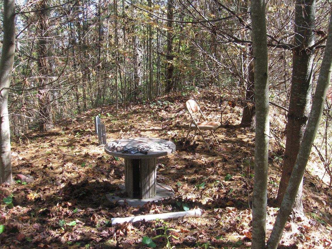
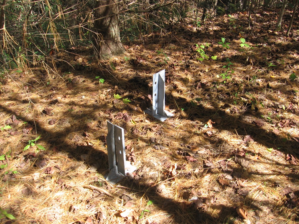
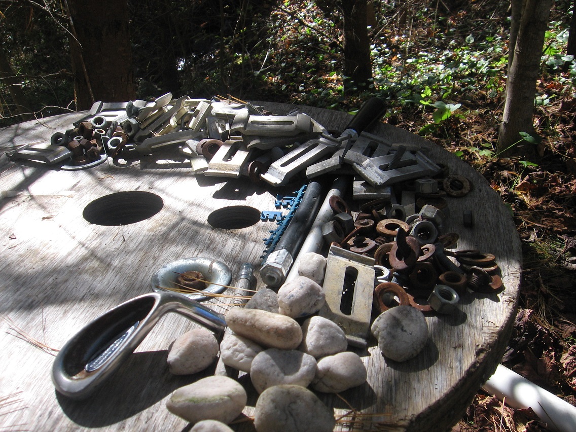
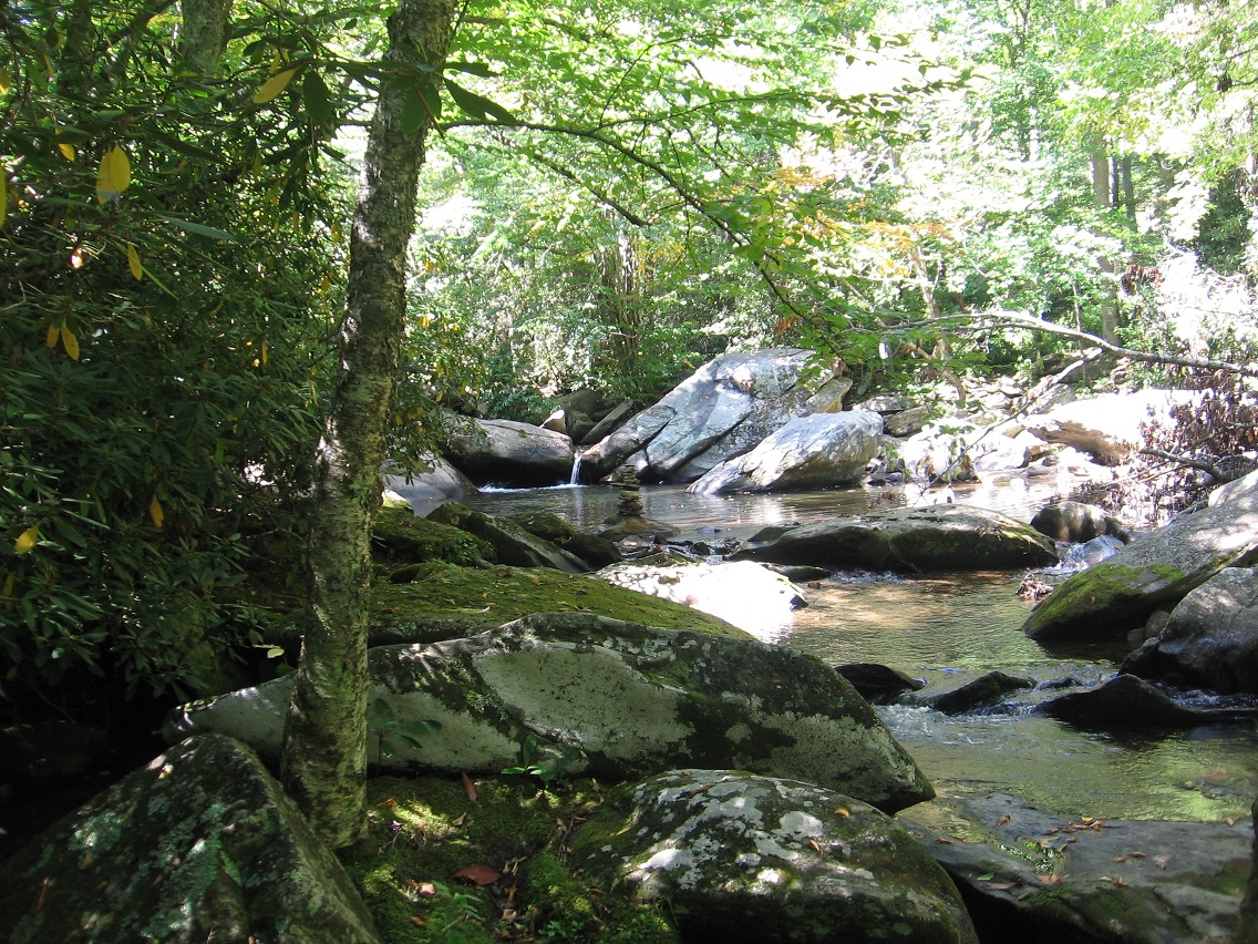
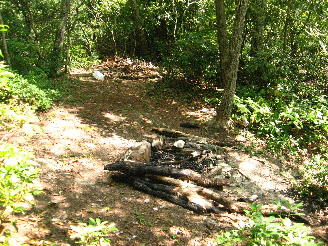
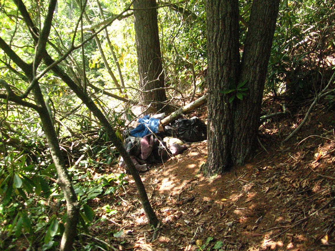
And then *between* Bigfeet and Rocky Branch Road — still on Leola Creek — I *rediscovered* a place I use to camp at for a bit in the mid-1980s. I’ve decided to call it Rediscovery, simply enough. In the time between when I use to camp there in both a makeshift teepee and a tent, someone has created a rather complex weave of trails on either side of Leola Creek Road than runs through the area. And on these trails is found numerous evidence of more recent camping, probably by students from the local Blue Mtn. State College.


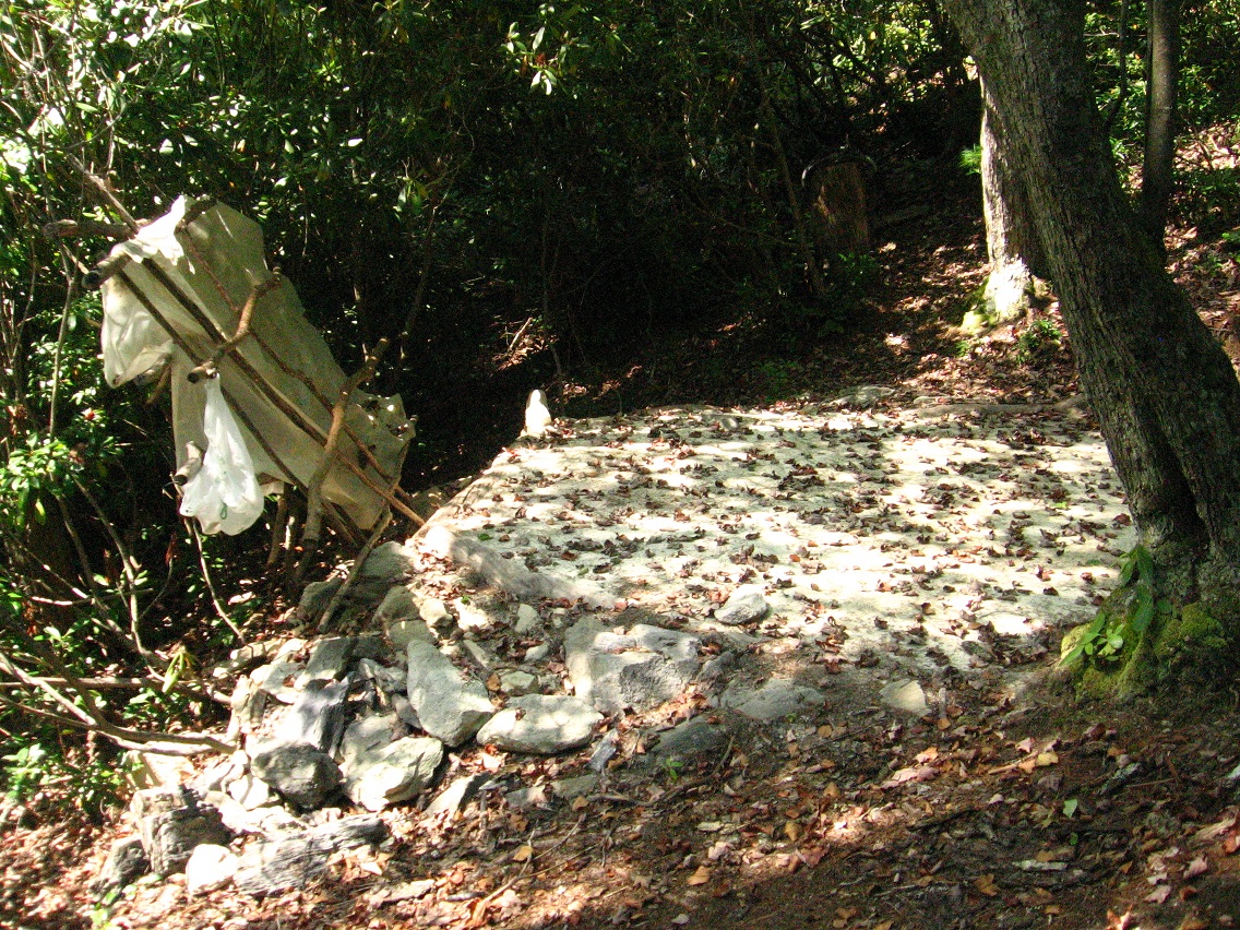
The trail system is divided into 2 logical parts by the road. The northern part follows the low and often rocky cliffs above Leola Creek. The southern part follows the creek itself, all the way to a formerly popular swimming hole now banned from use by the town. But people still come there obviously. I was at least wise enough to stay away from the pool, as it can be seen by cars from the road. Want to stay out of trouble as much as possible!
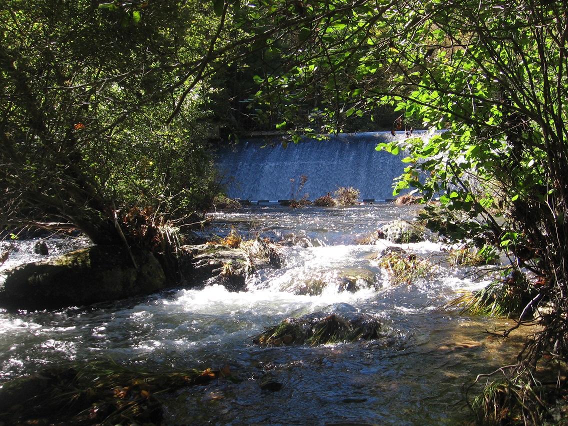
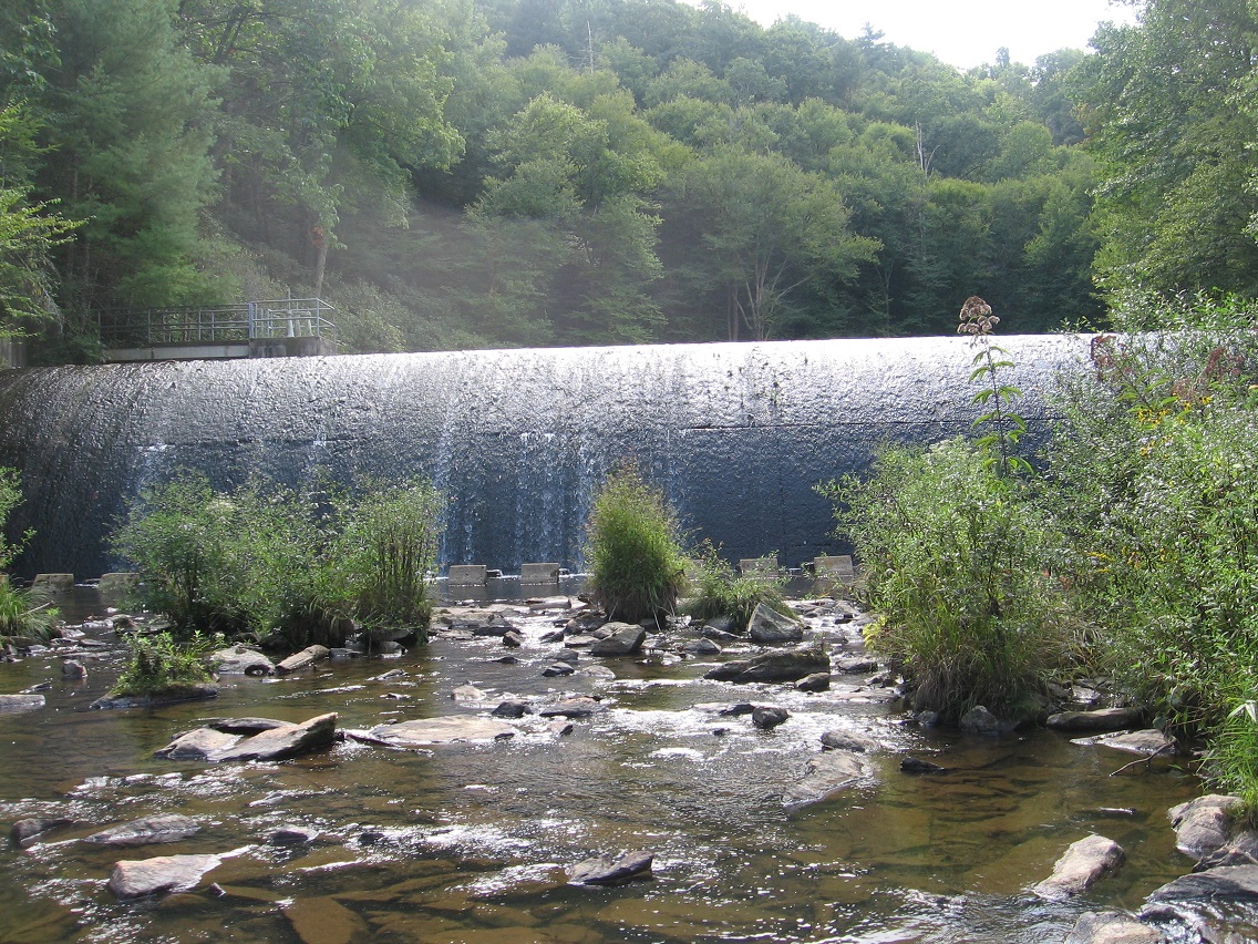
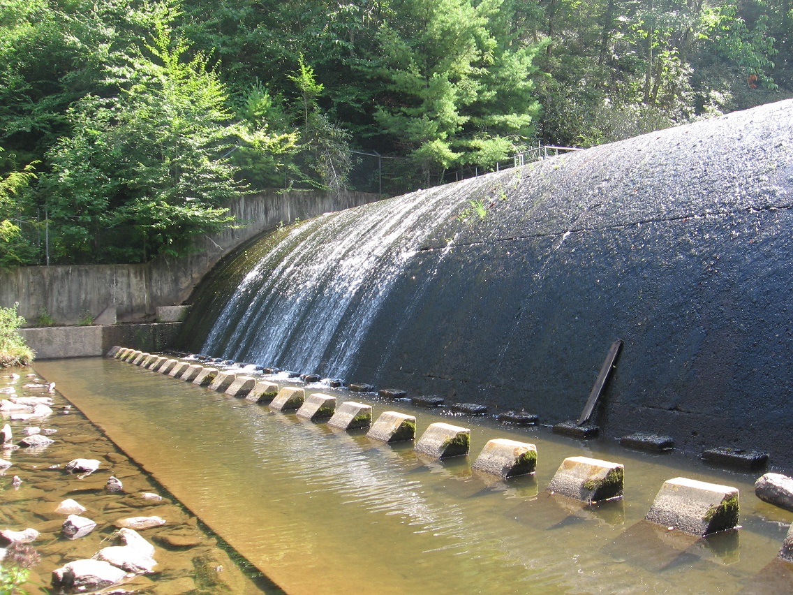
This dam is found at a lake below the swimming hole, which you pass around to get to the latter. In the summer, you *can’t* really be seen from the road here, at least by passing cars. It’s only when you move close to the hole and pass the lake that one can really be seen. Nice.
Of course you have to park your car somewhere to get to the trails unless you walk directly from the Blue Mtn. Urban Landscape, which is quite doable, actually (as I tested out this day of picture snapping). And there’s really only one possible spot in which to park a car. The trailheads shoot north and south from this parking area. You can exit the road quickly and get out of sight on either side. That’s a potentially important consideration.


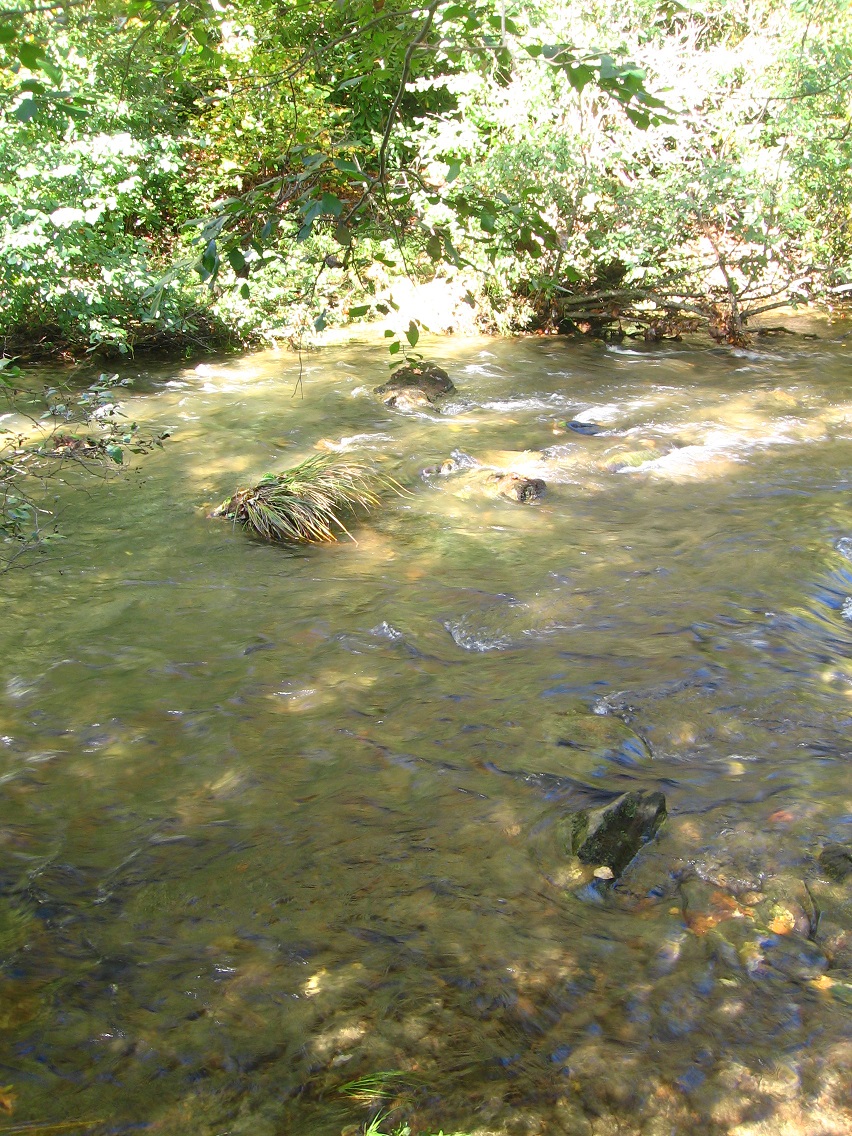
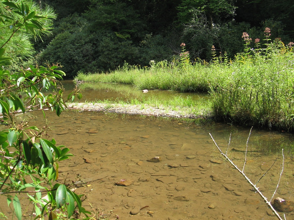
Upper end of as yet unnamed lake.

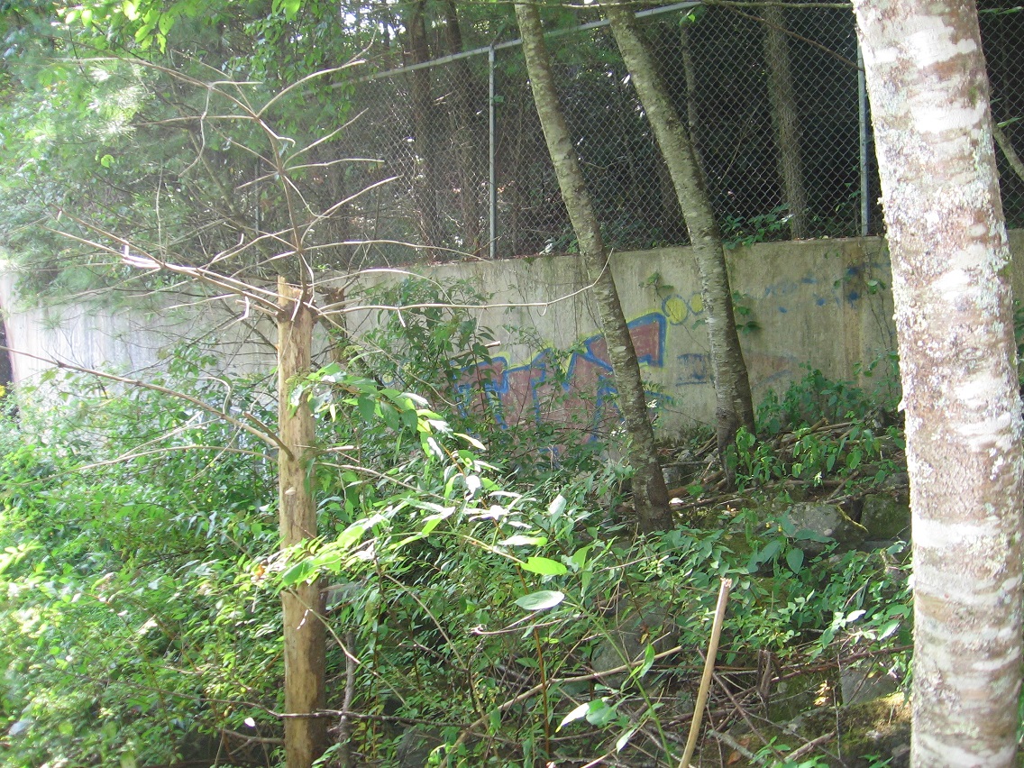
Graffiti at the dam site.