Category Archives: Blue Mountain

Rediscovery 9/13/15

The territorial extension of Rediscovery continues, with exploration on the south side of Leola Creek this weekend. Below is a picture of a large gully that would contain an interesting and meaningful waterfall in heavier rains. In fact, I’m pretty certain I’ve seen such a phenomenon through the trees while driving down Leola Creek Road during said situation. As with a lot of my pics, the gully is more impressive in person that the photo suggests. I look forward to seeing the temporary waterfall up close sometime. I might even think up a name for it in the meantime.

IMG_0002smaller

The paths and roads running through Rediscovery are increasing weekly. An old road was found up from the gully pictured above. Here’s a tree I spotted just off this road, which runs north and west of a local water purification plant.

IMG_0005smaller

Beginning around this tree a loose or faint path runs down from the old road along a ridge for about 100 yards or so, until it meets some houses. Here’s what I found at the low end of this path. I’m guessing this is an antiquated water heater but unsure.

IMG_0010smaller

Meanwhile the old road becomes grassier and better kept as it continues west around the plant.

IMG_0011smaller

This is the general area where I crossed Leola Creek to access the whole “southside” area, a parting shot while heading back to my car parked just off Leola Creek Road. I don’t think I’ll do that a lot, however. Best to park in the Blue Mtn. Urban Landscape proper and walk up to Rediscovery. That’s another advantage to Bigfeet I suppose — easier walking access from BMUL.

IMG_0017smaller

1 Comment

Filed under Blue Mountain

Marbles 01

“How did Key Rock move from outside the house to inside the house and between the walls of the living room and den, Hucka D.?”

Hucka D.:

Effort.

bb:

Great. How long did it take?

Hucka D.:

Two centuries.

bb:

Can you tell us more about Augustus the rat?

Hucka D.:

Why don’t you listen look?

—–

“Ah, as I’m reading now LINK, the place of the key rock was also the same as the Erietown Exteriorization Center, or EEC.

Leave a comment

Filed under Blue Mountain, Toy Avatars

Weekend 02

https://bakerbloch.wordpress.com/collages/falmouth-04/

(flips pages)

“But of course this is the one I’m most interesting in,” I said. I pointed again. “Foote”, I said, drawing the magnification out. “Grace, Glen Allan, Panther Burn.” “Foote,” I reinforced, “Then Heads on the other side.”

He looked with me. I also thought of the lyrics, “from my head down to my toes,” as 2 of the 4 Beatles — John and Paul perhaps meaningfully — fall flat, head and feet on same level, as in a corpse.

“Helm may also refer to the helm of a ship,” I said, still looking at the northern part of the same county. “This is the body of Addie.”

“Or someone at the helm,” Hucka Doobie chipped in. “A boss, a captain.”

“Helm could also refer to helmet.”

“Or helmets. Helmets cover heads, like in a fireman’s helmet. Like in a football helmet.”

“Here?” he asked. It was a sly observation by him concerning me.

https://bakerbloch.com/wp-content/uploads/2014/04/collage61part02c.jpg

Hucka D.:

Mississippi is a heavily coded state. You will not be able to find it all in the present. It is for the future. “As I Lay Dying”.

bb:

Yes. The present is Winesap.

Hucka D.:

Yes. Cash… money. Bono can’t control. Fully. You’ll win. You’ll see.

bb:

Frank Park’s Korean Channel: coded in Mississippi.

Hucka D.:

*Visa versa* (!)

bb:

But the combo of Foote and Helm+Heads on opposite sides of Washington County points to a specific body (Addie), but also a *foot*ball *helm*et worn on the *head* for protection. And perhaps a specific football player in part: Ray” Nitschke, former all star linebacker for the Green Bay Packers during the famed Lombardi era. But his success on the field led to a small role in The Monkees’ *Head* movie from 1968, where he was running around banging his helmeted head against the walls of a war trench. Football is War. And that’s where it all goes wonky.

Here’s a related post I found:

https://bakerbloch.wordpress.com/2013/04/16/korean-channel/

The Korean Channel represents one specific tile in the 47 tile “Head Trip”, which I can now say the actual name of thanks to Karl’s interview of me, baker b. In the synch (and attached “Dwarf” album) it’s a channel George Tirebiter is watching that shows a movie about war. Pork Chop Hill is mentioned therein so it’s apparently the Korean War.

https://en.wikipedia.org/wiki/Battle_of_Pork_Chop_Hill

Later a Monkee replaces his lost army helmet with Nitschke’s football helmet. War is football.

Hucka D.:

That is an important tile.

—–

Back to marbles and toy avatars, I believe the marbles, through Key Rock or the rock with the key in it at Bridee, were able to turn themselves into *humans*, or at least toy avatar versions. The first of their kind might have actually been named *Rock*. Yes, I’m thinking it may have been Rock Meadows of Whitehead Crossing. He has a strong Elton John vibe going on through Mississippi and Crocodile Rock — one Rock might have named the other Rock. And eventually this leads to Gray Seal (Gray Rock + Seal Stone) on the other side of Fantasia Brick Road going through the center of Whitehead Crossing, a Wilson-Wheeler forwards-backwards phenomenon. Across Big Log from it.

Leave a comment

Filed under Blue Mountain, Frank Park, Whitehead Crossing

Weekend’s Here!

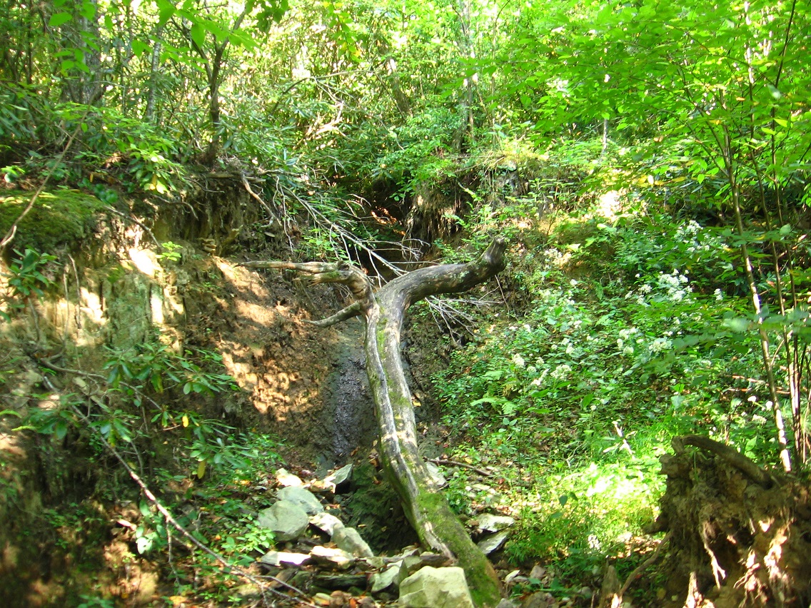
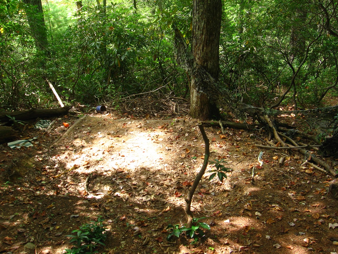
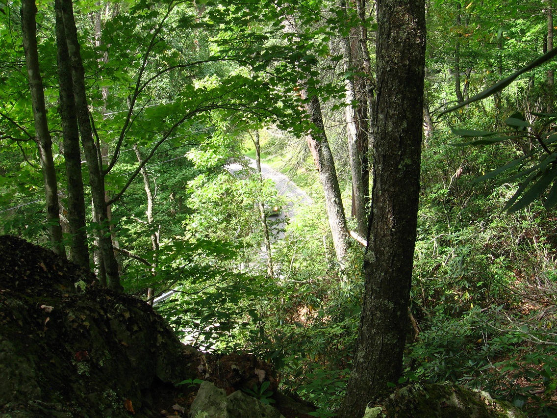
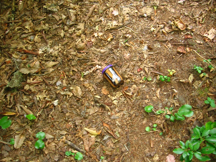
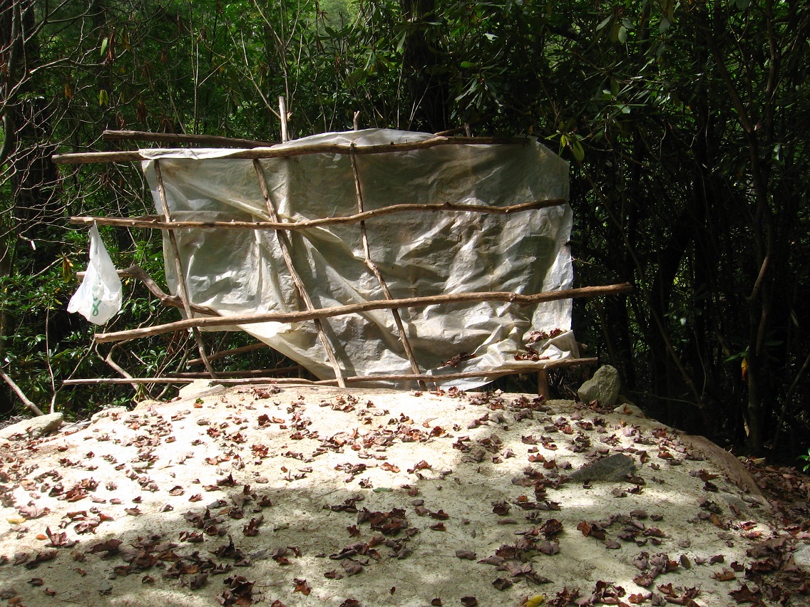
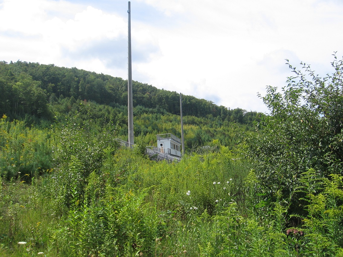
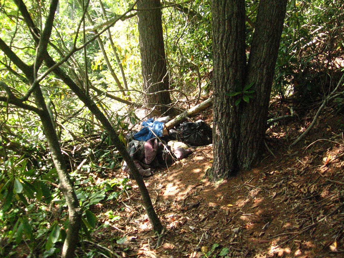
Will probably head back to Rediscovery and Bigfeet, weather permitting, for more picture taking and perhaps map creating. All of this *means* something.

I’ve been thinking about toy avatars and the progression of their story in the blogs, starting in 2008. The avatars seem exclusive to Frank and Herman Parks — what is their role in the Blue Mtn. Urban Landscape and attached extensions, then? I haven’t yet linked up the 2 hiking mythologies.

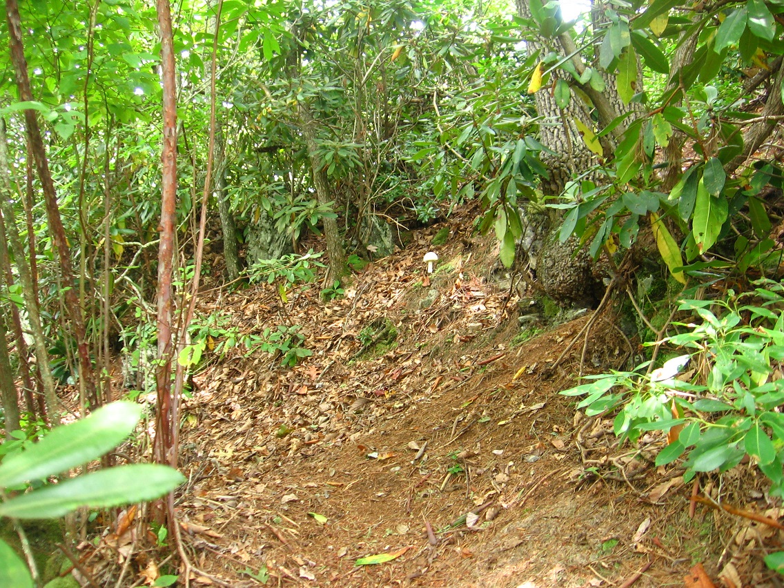
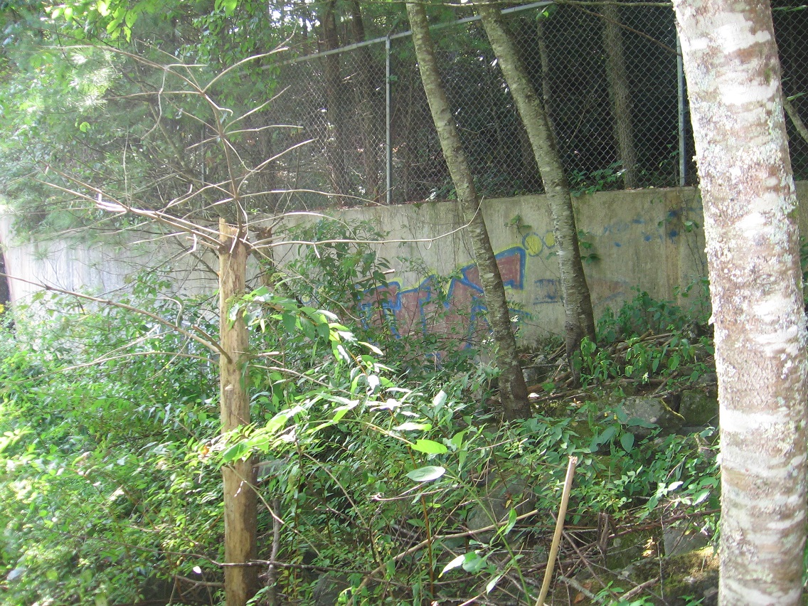
Toy avatars manifested in conjoined Frank and Herman Parks because they felt protected there, like the parks are protected. 3 major species: mossmen, mmmmmm’s, and marbles. 3ms. The mossmen story seems to have been worked out more than the other two, centered on the Gene Fade character who was born in Frank Park’s Jupiter Rock and also lived in nearby Notherton and perhaps Mocksity. Supersity? Mossmen (and Gene Fade) were also involved in Whitehead Crossing for certain. They might have invented the Spoon River portal system, or at least they used the system for instant teleport to various spots.

Mossmen, mmmmm’s and marbles alike appear in my collages, still displayed currently in the various Collagesity galleries next to the Rubi Forest. I tried to get rid of my land there this month but couldn’t shake it. Now I may keep the place for the whole winter again.

Mmmmmm’s seem exclusive to Herman Park. Hermania on TILE Creek, just west of Drink Lake, seems a focus for them, replacing an original living area in Good and Great Meadows to the north of this lake. Story is that the first mmmmmm’s arrived in Great Meadow in a large goodmobile from “Pluto”, which may be the same as Mythos’ Edwardston but we’re not quite sure yet.

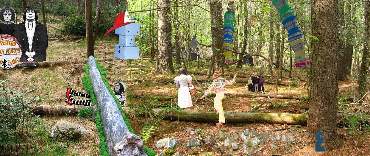
Salad Bar Jack is, by far, the best known of the mmmmmm’s, and acts as a balance to Gene Fade. They both appear in Salad Bar Jack action adventure movies. They’re both actors. And actually, as I’m remembering it, Salad Bar Jack’s real name is Grassy Noll. He’s so identified with his famous role that people always confuse the two (even me!). Gene Fade, in the same films, is usually called simply “The Mossman” or “Mossman”, perhaps a slightly or even not-so-slightly demeaning name. Then there’s Dirk Stew, a humanoid toy who plays Rock Meadows in a projected series of movies directed by Gene Fade himself. He plans to move beyond the action-adventure genre in these. Can he pull it off? Will the mmmmmm’s pay their hard earned hard green money to see non-Salad Bar Jack vehicles? That’s the uphill battle he is facing in moving from actor to director, for that was always his destiny.

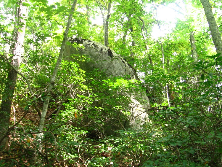
Going back to Gene Fade’s origins in Jupiter Rock and Frank Park, we also know something about a “Prior” (from “Pryor”), which may be a father or grandfather who came from the park’s Wild Wild West, or what we call the Trident Creek area in the blogs. This figure is attached to Neptune and also the Aquaman “Anti-Superman” superhero. Compared to this, Fade is Uranus, visible to the naked eye in the night sky if you know where to look. This is Superman (Supersity?) revealed?

Heading even further west than Frank Park’s Wild Wild West, we know that Mossmen consider Granddaddy Mtn. verboten to walk upon, and the source of their all powerful Rock Gods. A mystical place named Rubi Doo (Ragi Too?) is associate with the summit.

We also theorize that the Second Life avatar Karoz Blogger is the creation of Gene Fade, and that he considers him his “son” of sorts. Karoz was partly designed to walk the slopes of Grandaddy Mtn. in a safe manner, since, being virtual, he can’t harm the indigenous plant (and animal) life. But the experiment failed. Karoz could not escape his limiting Jeogeot continent circle centered by Mother Noru. Karoz’s mother Sapphire (she adopted him?) called him her precious Aquamarine, but he grew beyond this to become rebellious Aqua Teen. Rebeling caused the circle?

I have all these bits and pieces concerning toy avatardom but I haven’t put all of them together into a larger jigsaw puzzle. It remains unfinished.

And then the marbles — I have them coming from the Key Rock area southwest of Blue Mtn. They originally come from Mythos as well, like the mmmmmm’s apparently. In their case: Bridee, which psychically overlaps my mother’s house in Mythopolis. As a child I played a lot with marbles in this house. Later on I theorized that wilder counterparts to my “tame” toys might have been living inside the walls of the house when I was growing up. They found a forgotten house key in a fake rock lodged in these walls and thought the rock to be a super-marble, which was partly correct according to Hucka D., I believe. This rock in Bridee corresponds exactly to the position of Key Rock and the surrounding Castle Rock area in Blue Mtn’s county of Haze. These wilder marbles also had contact with a house rat named Augustus. Was this the Map Rat? The wild marbles looked down upon their tamed counterparts that I played with. Deemed them washed up. The wild marbles sent a new delegation to replace the older marbles afte they had been beaten up by their constant gaming, like a beat up old football players dented by their many collisons down through the years. This is actually a real story.

The location of Key Rock in Bridee (mother’s house) was between the den and living room wall. The rock totally fascinated the marbles. I believe it represents the main link between microcosm (Bridee) and macrocosm (Haze County), and a way to move between the two. Like the Dr. Who tardis, inside was much larger than outside. The specific ratios involved in the two dimensions are 12 or 13 to 1, or a dozen or Baker’s dozen to one. This relationship is coded into Maebaleia continent’s 12 or 13 to 1 ratio between large Blue Feather Sea and small Blue Drake lake or pool.

I would compare the relationship between wild and tame marbles to that between the wild and tame humans in the movie “Fantastic Planet”, use in a carrcass or a/v synch called “Fantastic Aspic” now. Like these humans, marbles are “pets” — *of* humans in this case, or, specifically, me.

The gargantuan blue Dragg child Tiva compares to me in this way. Her human “pet” Terr compares to my named marbles such as Bob Underston and Big Blue Eye. She has one but I have/had several to many.

Fantstic-planet-poster
Tiva and Terr

Leave a comment

Filed under Blue Mountain, Frank Park, Herman Park, Mmmmmm's, Mossmen, Toy Avatars

Separation (too far?)

We’ve moved beyond the Blue Mtn. Urban Landscape.

Rediscovery is an old site renewed and enlarged. It is a place of exteriorization (still).

How do the toy avatars fit in here?

What of The Table and Carrcass-12? It is coming up (?).

I have separated myself from Karl’s energy by drawing even with him. Removal (like of Blue Mtn. Urban Landscape). What of Devine?

Rediscovery is too far. Bigfoot is a balance. Not too near not too far. Goldilocks.

For now.

Leave a comment

Filed under BIGFOOT, Blue Mountain

Rediscovery 09/07/15

I hiked within Rediscovery on both Sunday and Monday of the past long Labor Day weekend. It feels important, especially when coupled with almost neighboring Bigfeet and Plateau of Raw Art. There’s no direct trail connecting the latter 2 with Rediscovery as far as I can tell. I’m going to keep looking but I’m doubtful — a shame. So near to each other yet so far. Blue Mtn. has this nack of segmenting its various focus spots from each other, it seems. Certainly all the local rhododendron plays a role here.

Below is a rock I’ve named Flattop, with a neighboring stone called Razor Edge. They project from the side of the mtn. just above Rediscovery. It’s actually a ridge, with a faint but quite walkable trail running along a large portion of it. This was yet another exciting discovery of the weekend. Evidence of camping doesn’t make its way up here from Rediscovery, however, although a kind of very loose trail does. This ridge actually separates Rediscovery from Bigfeet/Plateau of Raw Art, the latter which can be glimpsed below through the trees to the south as you walk along it. Again: so near yet so far.

IMG_0294smaller

Moving back into Rediscovery, I found this sign marking a Traverse Station. I had to look up what that meant, and found this:

http://encyclopedia2.thefreedictionary.com/Traverse+Station

IMG_0298smaller

The power lines above the station. We are at the peak of the same ridge, but further down toward Leola Creek after a steep descent of maybe 200-250 feet.

IMG_0300smaller

And it was in this same area that my former campspot is found, where I erected a primitive teepee in the summer of 1984. My plan was to live in the teepee all that summer, but I only stayed there a month — May as I recall. I believe I’ve already mentioned this teepee in the blog, stating that I couldn’t figure out how to seal the top and just stuck an umbrella up there, ha ha. At the same time a good friend of mine was setting up an *actual* and official teepee about a mile and a 1/2 further up in the hills from here, off a tributary of Leola Creek as I’m thinking about it. I helped with this process, thus the inspiration to create my own rough copy. And I’ve mentioned this man in the blog as well: he worked with me at Maynard Jackson’s Cafeteria in Blue Mtn.’s Town Mall, along with another guy I’ve touched upon named Willard. Other friends and acquaintances also had their own teepees at the same time set up in various area locations. Wild times. Have I mentioned my play “Dump” here?

As I’m checking now, I see not, although I’ve mentioned the old Middletown dump here. Well, I’ll just briefly say here that Dump was a rough draft of a play I created in 1984 at the peak of all this teepee madness. The whole concept became legendary in the minds of a handful, and even sprouted its own era: The Age of Dump.

*Anyway*, below is a picture of the actual spot where I set up my *own* teepee in the place I now call Rediscovery. I haven’t been to this spot in perhaps 20 years, maybe longer. Again it lies at the top of the low end of the ridge forming a barrier between Rediscovery and the Bigfeet area to the east. And, again, I’ll make a map or set of maps of this whole area soon for better explanations of what’s going on here.

IMG_0301smallest

Firepit next to the old teepee site…

IMG_0303smaller

… with gleaming coffee pot.

IMG_0304smaller

Here’s some pictures of one of several other camping spots found this weekend in Rediscovery.

IMG_0305smaller

IMG_0306smaller

IMG_0307smaller

Glimpse of Leola Creek Road from a rocky perch.

IMG_0315smaller

Someone left behind their peanut butter and jelly jar.

IMG_0317smaller

Yet another perch gives a nice view into the area’s formerly popular swimming hole on the creek. It’s still used, however, just not as much or as openly as before. I guess the place was shut down sometime around the turn of the century or so. Rough guess.

IMG_0319smaller

Another camping spot, this one with packed sand as a base. How did they get that sand up here? And then I found that you can actually see this white hexagonal base in GoogleEarth.

IMG_0324smaller

One more picture of the Rediscovery trail, with centering white mushroom.

IMG_0328smaller

Leave a comment

Filed under Blue Mountain

Bigfoot>Rediscovery 09/06/15

I discovered a praying mantis playing in the long grass near the se corner of The Plateau of Raw Art and decided the find was worth a picture.

IMG_0235smaller

As I’ve stated before, a small stream flows underground through Bigfeet from this plateau, crossing under 3 of the 4 main roads in its swift, downward progress toward Bigfoot Swamp. A concrete square marks each crossing, such as this one on the northernmost road. And I believe I’m able to make a rough map of Bigfeet now from memory. Soon!

IMG_0238smallest

Bank connecting Bigfeet to the plateau from this road.

IMG_0243smaller

Part of the football stadium projecting upward from this angle.

IMG_0245smaller

The track runs very close to Bigfeet — probably can be said to border it.

IMG_0250smaller

We now move further up Leola Creek to an important junction with a very similar sized stream. It’s another either/or case, just like when Leola joins with Blue Mountain Creek in the center of the Blue Mtn. Urban Landscape further downstream. The name Leola could follow the flow of either creek. In this case, the name follows the flow to the right in the photo. The bridge I took this picture from is found near the beginning of Rocky Branch Road that I’ve also touched upon before. We’re about a third of a mile above Bigfeet here.

IMG_0265smaller

And then *between* Bigfeet and Rocky Branch Road — still on Leola Creek — I *rediscovered* a place I use to camp at for a bit in the mid-1980s. I’ve decided to call it Rediscovery, simply enough. In the time between when I use to camp there in both a makeshift teepee and a tent, someone has created a rather complex weave of trails on either side of Leola Creek Road than runs through the area. And on these trails is found numerous evidence of more recent camping, probably by students from the local Blue Mtn. State College.

IMG_0266smaller

IMG_0269smaller

IMG_0270smaller

The trail system is divided into 2 logical parts by the road. The northern part follows the low and often rocky cliffs above Leola Creek. The southern part follows the creek itself, all the way to a formerly popular swimming hole now banned from use by the town. But people still come there obviously. I was at least wise enough to stay away from the pool, as it can be seen by cars from the road. Want to stay out of trouble as much as possible!

This dam is found at a lake below the swimming hole, which you pass around to get to the latter. In the summer, you *can’t* really be seen from the road here, at least by passing cars. It’s only when you move close to the hole and pass the lake that one can really be seen. Nice.

Of course you have to park your car somewhere to get to the trails unless you walk directly from the Blue Mtn. Urban Landscape, which is quite doable, actually (as I tested out this day of picture snapping). And there’s really only one possible spot in which to park a car. The trailheads shoot north and south from this parking area. You can exit the road quickly and get out of sight on either side. That’s a potentially important consideration.

IMG_0275smaller

IMG_0281smaller

IMG_0285smaller
Upper end of as yet unnamed lake.

IMG_0286smaller
Graffiti at the dam site.

Leave a comment

Filed under BIGFOOT, Blue Mountain

Rediscovery

Carr.:

I was at that teepee. I teleported there. Tp to tp.

bb:

Great. It’s an amazing rediscovery. Expanded! Now I have a choice to make: whether to keep developing Bigfeet…

Carr. (interrupting):

Yes [ that’s the way to go].

bb:

So too many people at Rediscovery, as I’ll codename it for now.

Carr.:

Yeah. 2, 4, 6, 8, sometimes 10. Smoking weed. Hashing out problems. Evaporate. Sublime. Rediscovery. It discovered you[ as well]!

bb:

It seems about all of my old camping spots have subsequently been expanded. The tent site behind the campus was seemingly enlarged to a cabin at one point (pictures here for now).

Carr.:

That’s too noisy [to develop].

bb:

Yeah. It is. Rediscovery makes a kind of loose loop, Carrcassonnee. Oh, I forgot to ask. Should I abandon Collagesity? Finally?

Carr.:

You’ll make a sity somewhere. Why not just remodel Carrcassonnee? Oops I meant Collagesity.

bb:

But the money?

Carr.:

Penses.

Leave a comment

Filed under BIGFOOT, Blue Mountain

Regression

regression01

Leave a comment

Filed under BIGFOOT, Blue Mountain

Suit yourself

Carr.:

I art Hill. I art Sunklands. I art the plateau. Raw.

bb:

Thank you for showing up tonight. Are you upset that Collagesity is for sale now?

Carr.:

Are you?

bb:

Not really. So… Bigfeet.

Carr.:

We wonder how, rumble rumble. We see future. Toy happening. Rail tracks. Go go go! Winners. Losers. Cheers. Jeers. But a plan. *No* winners. No losers. TILE. Art. Happening. One and all and all and one. 4 roads, yes?

bb:

Yes. Kind of.

Carr.:

Four. TILE. Take stock of what is there first. Take careful stock. Careful careful. Then play. Move in the toys. Happening to *them*. What is the mythology? Have you found primary and secondary sources?

bb:

Um…

Carr.:

Then let it be. Take pictures. Switch cameras. Listen to the stream. Follow the stream up and down. Where does it head and go? What does it say? It has stories, yes?

bb:

Could be.

Carr.:

What is the name of the stream. Bigfeet as well?

bb:

Unsure Carrcassonnee. Can you suggest a name?

Carr.:

Devine.

bb:

I’m not sure that’s suitable. How about Vineland?

Carr.:

Unsuitable[ as well].

bb:

Markland?

(no response)

Leave a comment

Filed under BIGFOOT, Blue Mountain