Category Archives: Herman Park

What next?

Snapshot1207_005_002

The weather is getting warmer, and I believe further exploration of the Byng area for now might be blocked. My promised pictures of that place today turned out not to be, since I forgot my frigg’n memory card before heading into the woods. So instead I decided to go over to old, reliable Whitehead Crossing, but from The Way this time. Standard nomenclature needs to be reviewed for the area. Whitehead X-ing is so accessible because you can get to it through a number of ways (and so not just through The Way, har). It is definitely a center. Today I walked the Contemplation Loop quite a bit once more, but a slower pace than on previous visits. Will read more of my older Whitehead X-ing notes after finishing this post.

Hucka D.:

No pictures today? Aww.

bb:

Sorry. Stupid memory. *Mine*.

Hucka D.:

Contemplation Loop is connecting you to the woods, the wild. I heard you heard coyotes. Maybe wolves. But I think coyotes.

bb:

Yeah.

Hucka D.:

You just need to walk it as much as possible. Missouri is closed for now. Missouri will change into something else in a bit. Different name, I mean.

bb:

It’s an amazing ridge. And a path that I could not have predicted up that ridge beginning at the very start of the Lion’s Roar/Kansas path. Crazy.

Hucka D.:

That is Missouri, leading to Kentucky. You should study that state[ again].

bb:

Apologies once more about the pictures.

Hucka D.:

Soon it will open up. Lion’s Roar and Kansas too.

bb:

Who lived in Missouri?

Hucka D.:

*You*.

bb:

Hmmm… how about toy avatars. For that place and also Lion’s Roar/Kansas.

Hucka D.:

That beginning of the path, presently guarded by a greenish mushroom, is the gateway to the future. Missouri future. Through it you can gain quicker access to Kentucky and beyond. Diagonal. This formerly hidden trail will lead you further than ever before. Future.

bb:

Thank you.

220px-St_Louis_night_expblend_cropped

Leave a comment

Filed under Byng, Herman Park, Heterocera

New Liquor Shots! (the *real* Whitehead X-ing, plus Byng)

First, a photo taken day before yesterday from Kentucky of the Byng Creek area. I’ve visited Kentucky each of the past 3 days, and plan to return there again today after work. More photos will be forthcoming I assume. The below shot is framed by the 2 Lovey Dovey trees on the northern edge of the natural platform, with the Bee Line forming between them just in the foreground and extending another 60-70 yards into the background. Basically impossible to see it in the photo without knowing where to look, but I thought I’d insert it here anyway to generate a bit of text about this very important, apparently psychic *diagonal* across Kentucky. And yes I understand there may now be a tie-in with Heterocera’s The Diagonal I’ve been chatting about so much lately.

IMG_0144smaller

We then switch to Whitehead Crossing, the apparent center of centers still of my woodsy extracurricular activity. Below we have a photo taken from the head of No Title Spring, looking down on Grey Seal in the distance. Once more not the best of shots, but thought I’d add it into the mix anyway, since that spot is part of a small list of proposed mediation locations within Whitehead Crossing.

IMG_0148smaller

And now we come to the Contemplation Loop, the biggest development in Whitehead Crossing for quite some time, perhaps since Hucka Doobie fished 50 bottles out of Whitehead “Crik” several years back. All remaining photos of the current post come from this loop, designed as a place to pace in a circular manner in order to establish a bridge between man and woods. Before the Contemplation Loop, Whitehead X-ing was too isolated from man (i.e., me). Now its coming into line — through a path line. And, yeah, I’ve thought about a connection between *this* path, a line in the woods, and the Bee Line from Kentucky, which has also become a sort of path since I’ve walked up and down it a number of times now.

At a normal pace, Contemplation Loop takes a bit over a minute to complete. To the east is Grey Seal, which you head directly toward in a straighter stretch of it.

IMG_0152smallest

To the south is Whitehead Creek, but, even closer, Little Whitehead. Big Log is also clearly visible from the Loop. Below we have a picture not of Big Log but another, smaller fallen tree lavishly decorated with ferns and extending almost all the way from Contempation Loop to Little Whitehead.

IMG_0163smallest

Another fallen tree parallels much of Little Whitehead just behind the log pictured above from this angle.

IMG_0167smaller

Grey Seal again from the loop.

IMG_0170smaller

Central tulip or poplar trees of same.

IMG_0171smaller

IMG_0177smaller

1 Comment

Filed under Byng, Frank Park, Herman Park, Whitehead Crossing

Not…

… much time tonight, Hucka D. I took Liquor out in the woods today and created some photos. Not very good ones, but still I’m out in the wood.

Hucka D.:

Maybe you should just talk to the reader tonight.

bb:

Okay, we can try that.

Well, today was a pretty decent hiking day for a change. The past two days, actually, I’ve been able to re-visit Lion’s Roar for the first time in probably 1/2 a year or so. Not much has changed there, which is exactly what I’d expect, given that it’s tucked away in the deep woods with probably no visitors except for me. Pots still there; bottles still there. I could reset up Lion’s Roar in a short time. However, the place is wetter than I remember — I don’t think that’s really a change per se, but just something to do with the seasons. I set up Lion’s Roar in the fall, and under dryer conditions when the leaves are off the trees and direct sunlight hits the place with greater frequency. But the bigger news today is finding a small but flat platform area a little above Lion’s Roar on the ridge directly west of it. A place for a tent or even small structure if I wished. This is the same ridge that Kentucky, a much larger (if not necessarily flatter) platform area, is situated upon further up. I also re-visted Kentucky both yesterday and today, and was able to eyeball the Bee Line again from various angles. It still seems to be a legitimate phenomenon.

Is it time to give up my virtual reality town? Not sure. I have about 2 weeks to decide whether to renew September’s tier. If I desert VWX Town, I most likely will not be able to recreate something that extensive in Second Life. What I’ll do if this happens is keep the Lama rental property that the Power Tower Gowlery exists upon, as well as Gallery Jack containing earlier collages. And just delete the rest.

Hucka D.:

You better call a town meeting before you pull the plug. What about The Table?

bb:

The Table in VWX Town is not the *real* Table. Thanks for showing back up again.

Hucka D.:

You’re welcome. Think long and hard about giving up VWX Town.

bb:

Herman and Frank Parks are opening up again. That has to be the focus now. The focus for this blog through me.

Hucka D.:

True (pause).

bb:

So back to the review — Hucka you can hang out still if you wish: Today I also went to Bill Mountain and hiked past the infamous Rust Spot. The road was wet, wet, wet — almost impassable up to the place. I wondered even if the aliens made it this way so they could have more privacy on their mountain.

Hucka D.:

Yes, that is what happened. You shouldn’t or don’t need to go up there for a while. You have the other side of the road.

bb:

That’s right. Today I also walked down TILE Road in Herman Park, which was fun. That was *early*. And then I’ve also visited Whitehead Crossing itself a couple of times in the last week, and plan to go back tomorrow, perhaps early once more.

Hucka D.:

Do that. So where are you going to set up the train tracks the next time?

bb:

Whitehead Crossing?

Hucka D.:

You’re asking me?

bb:

Um… maybe.

Hucka D.:

If you’re finally getting back to Frank and Herman Park mythology…

bb:

Uh oh.

Gone.

—–

I forgot to talk about the contemplation loop.

Hucka D.:

Take pictures tomorrow. Bye!

Leave a comment

Filed under Byng, Herman Park, Wealthy Mountain

Figure 8 again

http://www.milkhill.com/

home_1_00

boy_beads_wwwboybeadscom_mens_billiard_pool_table_ball_cue_q_ball_8ball_eight_ball_bracelet_beads_mens_black

https://bakerbloch.wordpress.com/2013/05/17/7344/

Slide51

http://www.cropcircleconnector.com/anasazi/WHAT%20DO%20MODERN%20CROP%20PICTURES%20MEAN.html

What Do Crop Circles Mean?

reply to Ada
Submitted by Red Collie on Fri, 01/09/2009 – 00:28.

Dear Ada,

Freddy Silva’s estimate for paranormal authenticity in 2008 as “only 2 out of 133” has not been taken seriously by any of the hundred or so active researchers in the field.

Most of us believe on the basis of direct forensic evidence (or other) that 80-90% of the new complex pictures in England (or Germany/Italy) last summer were authentic.

Indeed, most showed very advanced science relating to solar or lunar eclipses that no faker would know: see a summary on http://www.cropcircleconnector.com/2008/080808/0101010.html

The amazing “Emerald Tablet” crop picture from East Field on August 25, 2008 was also completely authentic, which really says something concerning their spiritual intent: see http://www.cropcircleconnector.com/2008/eastfield4/eastfield2008d.html

For something really amazing, see the video taken by Andy Fowlds over Westwoods in mid-August: http://www.medwaycropcircle.co.uk/westwood2008bols.htm

The Westwoods crop picture itself is an ancient symbol for Venus/Quetzalcoatl.

http://www.realitysandwich.com/411_on_2012

—–

Entering TimeCollide—Adjust Frequency—the CHANI Material

Leave a comment

Filed under Crop Circles, Herman Park, Sharieland, Wiltshire

Foggy Sharieland

IMG_0001smaller

Hucka D.:

What’s with the Poisoned Gate? Who came up with that? A negatively charged gateway in Whitehead Crossing?

bb:

Just a story[ mind you].

Hucka D.:

What happens when I, as a bug, pass through the gate?

bb:

Probably nothing. Again…

Hucka D.:

It *can* be used as a portal, if you know the magic words.

bb:

What of the Diamond Rock at Diamond Beach, Hucka?

Hucka D.:

Another rock for you to find. Piecing together the whole story. Slowly.

bb:

Is it the tale that wags the dog?

[no answer]

—–

As explained in the Whitehead X-ing, Late Spring 03 I found a rock on a Whitehead Brook beach shaped like an almost perfect diamond rhombus, perhaps of a 4×7 variety. This happens to be the base shape for my old Opus 1 drawing from my college art class days. I’ll have to dig up a picture of the work, which I still have downstairs in the basement somewhere. Maybe I should take a new pic of it in light of finding this diamond rock. What would filmmaker Gene Fade think of this discovery? Did his “Fade to Moss” subject matter Rock Meadows know of this particular rock? Many questions to be answered.

Leave a comment

June 6, 2013 · 6:23 am

Sharieland’s Heart Line (01), then Whitehead X-ing Trees

Heart Line is a path running from a postion between Heart and Head Lake to a road below Herman’s Mansion, cutting across the heart, as I interpret it, of his namesake park. I also assoc. it with the *Heart* Line on a *Hand*, positioned above the *Head* Line and whose lower end is just above the upper end of the *Health* Line. See the diagram at the end of this post.*

Below are two pictures of rocks found along Heart Line or Line of Heart. I’ll take more pictures this weekend, with accompanying text to be generated as well.

IMG_0002smaller

IMG_0003smaller

Neart a central point, Heart Line becomes clogged with rhododendron, but a path has been cut through the bramble still, allowing one to continue upward or downward. I should also note here that Heart Line is not an official hiking trail of the park, but has obviously been walked and even somewhat maintained as an unofficial one by certain groups of people in the past.

IMG_0007smallest

A holly tree marking an upper end of the meadow above Heart Lake — as seen from Heart Line, once more.

IMG_0011smallest

We move now to neighboring Frank Park, and a shot of a large and apparently dying oak tree just beyond the northern edge of the Whitehead Crossing region.

IMG_0001smaller

Greenmount from Green Steam on the lower edge of Whitehead Crossing, or what is also the upper end of Green Stream’s Korean Channel.

IMG_0007smaller

—–

* palmistry lines:
heart-line_large

Hucka D.:

You wish to ask about palmistry and hand, heart, health, head. Yes, the blueprint for the lakes of the park all appear in Sharieland, in the various paths that cut across the land just below Herman’s beautiful mansion in the skies. But there may have been more human intervention in these plans than you presently suspect. Perhaps Herman knew of the Heart Line. Perhaps Herman knew of the giant hand[ as it were], below the mansion. Pull up that Arkansas hand from before — Baxter County I believe.

bb:

Here it is, Hucka.

https://bakerbloch.wordpress.com/2013/02/01/if-odd-crazy-things-become-consistently-common/

Hand of Oppotubity

Well, certainly Herman’s Mansion is his beautiful *Mountain Home* in the skies, Hucka[ as you put it].

Hucka D.:

Herman wished to move his home into the mountains themselves, to become one with the mountains. He’s approving of your work, baker b.

MOUNTAIN HOME… FOLLOWING THE HEART. HEART LEADS TO HEAD. HEAD OF MOUNTAIN.

—–

2331084-billiards-cue-eight-ball-and-cue-ball

Herman saw his mansion positioned between cue and eight ball on the Mounds of Venus; his grounds as a giant hand — fingers as roads. Mansion equals 12345 between the balls. Cue ball was oblique in his living days. Cue ball and eight ball are two of the mounds here.

boy_beads_wwwboybeadscom_mens_billiard_pool_table_ball_cue_q_ball_8ball_eight_ball_bracelet_beads_mens_black

Some say Herman saw his mansion in a vesica piscus lying between the two mounds. Some say he wanted his mansion to be the third, central mound, completing the hand of his land [Land Hand]. He wanted to rooftops to be equal in elevation to the basically equal tops of Cue and Eight.

cueballeightball02

In this doctored map, the two mounds are clearly/obviously in the center: “8” marks the top of Eight Ball and “C” the peak of Cue Ball. Notice Herman’s Mansion is quite positioned between the two, reinforcing a vesica piscus interpretation. On this map I’ve also included the location of Heart Line (red) just downhill from the mansion, and also Head Lake and Heart Lake are marked.

—–

Hucka D.:

The 2 mounds would have to be those of The Sun and Saturn, don’t you think baker b.?

bb:

Suppose. According to this article…

http://psychiclibrary.com/beyondBooks/palmistry-mounts

Hucka D.:

Sorry to interrupt [again!], but that may be the Mount of Saturn and Jupiter, instead. I think this is what Herman thought when building his mansion. It is a cross between Saturn and Jupiter, the two largest mounds…er, planets I mean. And that makes sense when I’m looking at the map again through your eyes.

bb;

Yeah, thanks for adding that last part. Partial credit to me, then.

Hucka D.:

I’ll think about it. (smiles)

bb:

So here we go:

http://psychiclibrary.com/beyondBooks/mount-of-jupiter

http://psychiclibrary.com/beyondBooks/mount-of-saturn

handmounts

But can we go even *further* with this, Hucka D., and say that *all* mounds of the hand have correspondence in the landscape around the mansion. Obviously I think we can say that the Mound or Mount of Apollo corresponds with that flat ridge I explored a week ago today, where I felt a strong presence of fairies. Traditional palmistry has it that if a mound of the hand is too flat, it represents a weakening of that aspect in the personality.

Hucka D.:

Yes. *All* mounds are represented in the landscape, as you’ve guessed. You better study the history of palmistry.

cueballeightball04

3 Comments

Filed under Arkansas, Frank Park, Herman Park, MAPS, Sharieland, Whitehead Crossing

Sharieland 03

(continued form Sharieland 02)

Heading toward Herman’s Mansion from the ridge discussed in “Sharieland 02”.

IMG_0065smallest

Reaching the mansion. Herman often made jokes about his home being “behind the eight ball” when things went afowl there, like with the Termite Terror of 1902.

munsters

Path on Eight Ball Ridge.

IMG_0071smaller

While starting up the path, I was rather startled to see what appeared to be a fairy home at the base of a tree to my right. Very unambiguous!

IMG_0075smaller

Forks in the trail. This is where the central “eight” can be entered. Alternately you can just walk in a big loop (straighter path to left), bypassing the very top of the ridge. Being quite superstitious, Herman always walked the “eight”, and in a clockwise direction according to legend. He felt this helped keep bad luck away from the house. Herman accomplished the ritual almost daily, more often than not accompanied by his loyal wife Ethel.

IMG_0079smallest

http://www.phrases.org.uk/meanings/behind-the-eight-ball.html

One could possibly even make an argument that Herman originated the phrase, “behind the eight ball”, meaning to be in a sticky situation. I’ll have to look up if croquet was played on the grounds per reference to “Eight Ball Croquet” in the above article. A ridge just north of the house, a kind of direct continuation of The Eight Ball (but with a distinct, separate peak) has since been nicknamed Cue Ball, but there’s no record of Herman’s family coming up with this appellation.

8-ball-psd18695

And now we return to what appears to be the meat of Sharieland just downhill from the mansion. This interesting cement container seems to mark a northern boundary. Did something like “Welcome to Sharieland!” use to be scrawled upon its front?

IMG_0081smaller

Eye Rock (my name) a little above the container.

IMG_0083smaller

More photos and text concerning Sharieland soon enough! It seems to be a big, big topic.

1 Comment

Filed under Herman Park, Sharieland

Sharieland 02

(continued from Sharieland 01)

Still on the as yet unnamed ridge just a bit south of Herman’s Mansion, we have faint paths through cryptic trees.

IMG_0043smaller

A main road of the area is not far away from the ridge top.

IMG_0044smaller

A rock seeming to mark the end of the ridge in this direction.

IMG_0046smallest

Another one of those birthday balloons I find with some frequency around Herman and Frank Parks. Do they all possibly originate from the same huge birthday extravaganza? Still a mystery as to why they’re around for me.

IMG_0048smallest

Another enchanting ridge scene.

IMG_0050smaller

Perhaps another fairy hole, this time in a pine and filled with water.

IMG_0057smaller

There’s a nice creek with several feeder springs to the north of the ridge, another place I can’t remember exploring in the past.

IMG_0059smaller

IMG_0060smaller

IMG_0062smaller

Another possible fairy home near this creek.

IMG_0063smaller

(continued in Sharieland 03)

1 Comment

Filed under Herman Park, Sharieland

Sharieland 01

Before getting to Sharieland, I thought I’d begin with this interesting shot from Whitehead Crossing of a single leafed plant with 3 symmetrically arranged flower petals atop it. I’m trying to pay attention to such things — this would be beside No Title Rock, I believe, and taken about 2 weeks prior to posting it here.

IMG_0004smaller

To the main subject of the day now: This weekend I was fortunate enough to accomplish hikes on Friday, Saturday and Sunday all. Friday and Sunday sent me to what I’m, as of yesterday, calling Sharieland. “Sharie” is a portmandeu of words “fairy” and “share”. It is literally a fairy that likes to share, at least with other fairies of its type. The theory goes that the land immediately below and around Herman’s Mansion in Herman Park was riddled with the creatures, and perhaps they even use to interact with the humans who lived and worked there, perhaps even Herman himself or at least one or several of his family. In this way, they may be akin to the borrowers made famous by English author Mary Norton.

I first found clear evidence of a fairy culture in the vicinity of the mansion through this more elaborate rock cairn, extending itself beyond a mere single line stack of rocks. Is there a message within the multi-layered arrangement?

IMG_0008smaller

IMG_0013smaller

These pictures comes not downhill from Herman’s Mansion, as the above ones do, but from the ridge immediately to its west that, at its peak, rises a bit beyond the mansion’s rooftops. Herman himself named this low ridge The Eight Ball, and the path encircling and also penetrating its summit was a favorite of he and his wife.

IMG_0015smaller

IMG_0022smaller

Squarish rock on the ridge.

IMG_0028smallest

We’ll return to The Eight Ball in a moment, but let’s shift to yet another location near the mansion: a flatter ridge not known about or explored before Friday atall, and just a stone’s throw south of the former. Actually, I first began to think about fairies in the area when finding this remarkably flat area and variously holed trees and stones within. A large-ish garter snake (below) pointed me towards the wilder interior of the ridge as I was walking past it on a carriage road, but I didn’t understand its message until later…

IMG_0029smaller

… after spotting this nice rock a bit off and above the road, about a football field’s length down from the snake. Its presence immediately lured me back into the woods, and soon I was exploring the whole extent of the flat top of the ridge it perched on the edge of. I’ll come up with a name for this rock soon; it’s similar in size, say, to Grey Rock of Whitehead Crossing, but without a topping stone (Seal Stone) in this case.

IMG_0030smaller

What might be the heart of the forest on the ridge, with a peculiar and admittedly a bit disturbing gash in the tree to the right here. Two holes, actually, but the lower and larger one seems quite like a wound, so much so that I found I didn’t want to put a close up of it in this blog. What is the story behind this? Is it really a “wound”, perhaps one that can’t heal? Does it tell something about the fairies of the area?

IMG_0032smaller

A towering pine tree further south on the ridge.

IMG_0037smallest

(continued in Sharieland 02)

3 Comments

Filed under Frank Park, Herman Park, Sharieland, Whitehead Crossing

Return to the WIS Map…

wismap01

wisdetail02

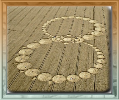
“WIS came from a different dimension and entered Tinsity and Green Oz through Red 7. This is the same as the Wizard Head of Oz. The Wizard Head assigned Tin S. Man to Tinsity, thus changing its name from original [Gold]. Lisa the V. created Health Lake and Wealthy Mtn. and then WIS all at once. WIS is short for WISE or WIZARD. The Wizard of Oz was certainly wise in at least a pretend humbug way. Was he a bug?

deserthumbug
Backwards.

bb:

Hello Hucka D. Thank you for starting without me.

Hucka D.:

Oh baker, I wanted to see you just today. The Falmouths are mouthing off about a union between them and Second Life. Or Second Life and them in First Life. Sims. Do you have your pencil?

bb:

Suppose I do Hucka D. Have you taken your red and blue pills today? Not the little round, lime green ones, because those don’t work any longer. Remember?

Hucka D.:

Memory shot. Intuition stronger. I sense the air and the air is pure and good. Falmouth.

bb:

Okay, so the residents, or The Residents, want to unite… what?

Hucka D.:

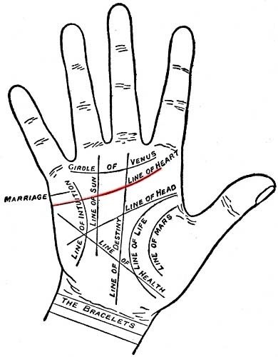
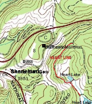
Falmouth, or Old Baker’s Settlement as it was once called — OBS — with PTG Town or PTG. 1st and 2nd reality. They point to Lis 06. They remember where you left off in the re-examination of the Lis series. TILE emerges from the black hole that is The Devizes Crammer — TDC — and rolls like a marble — right, top, left, down — toward the sea or ocean which is the singing frog’s pond in front of Tilie Cabin, Falmouth. And they want to bring some more blog spirits in. Used the term “berift of spirits” to me. Called me in, because I do most of the interpreting of the collages, see. And there are two x-rays sources, if not 2 black holes per se. Never seen them in person, though.

bb:

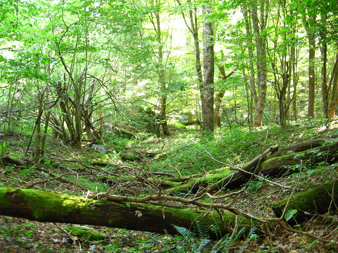
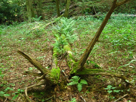
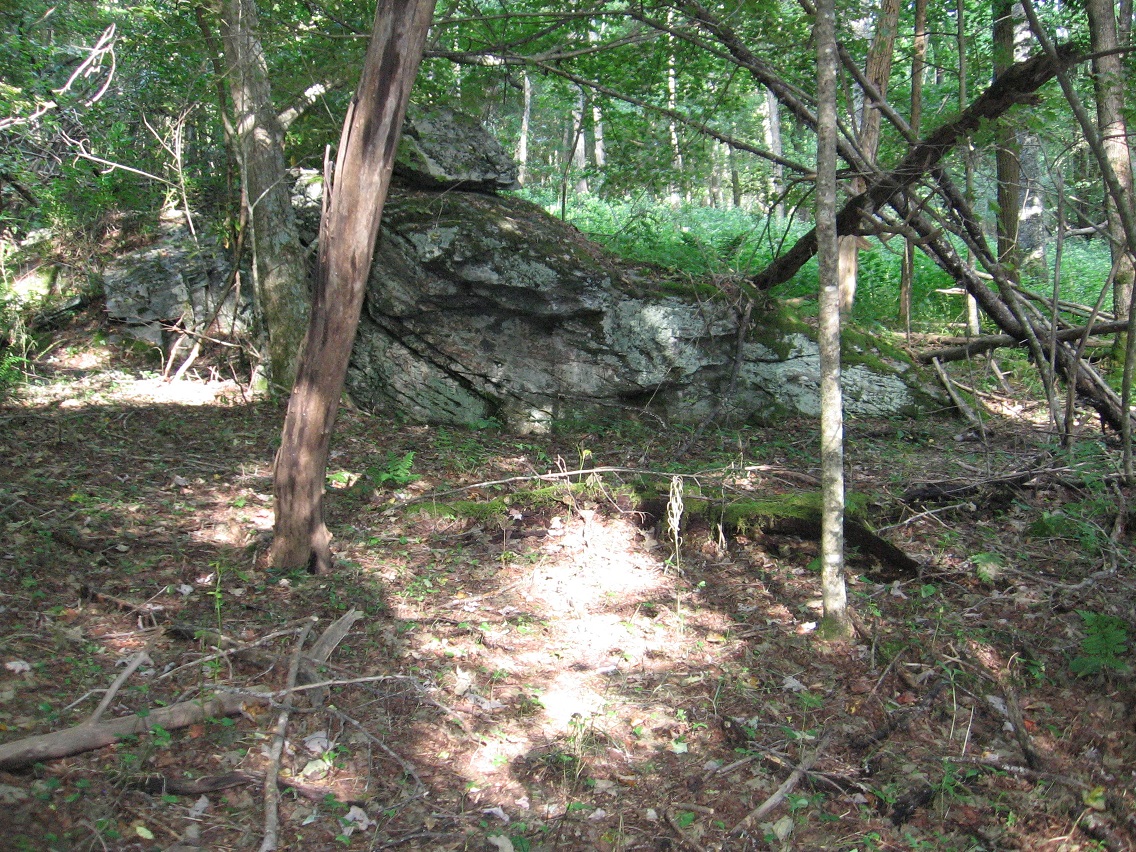
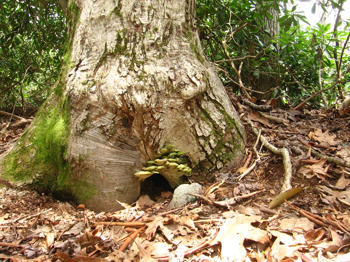
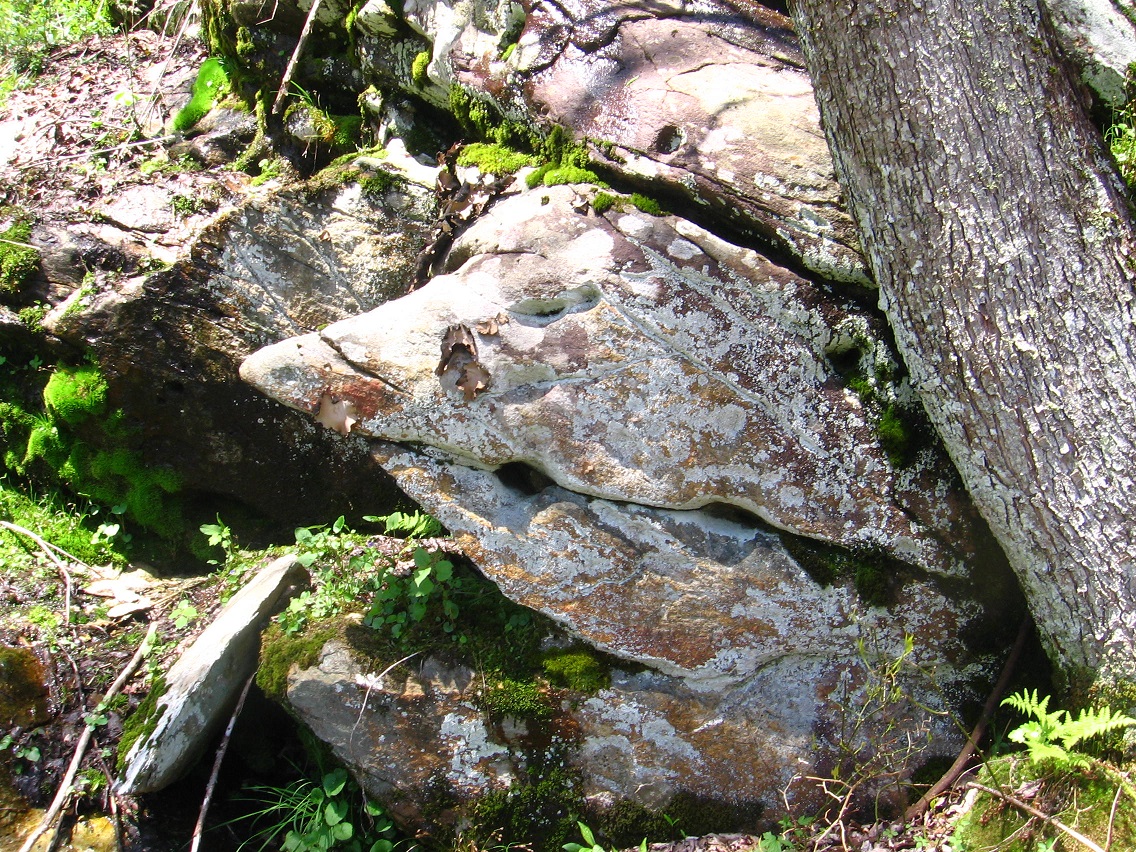
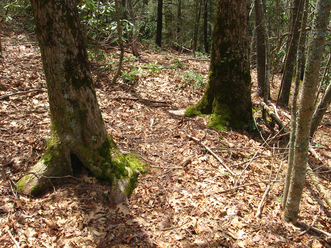
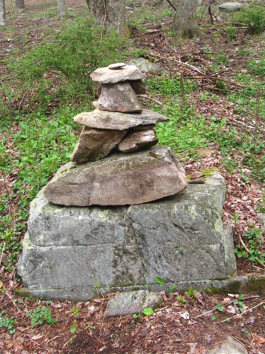
We’re talking about the 2 possible locations of Old Baker Settlement on Falmouth I’m guessing. There are 2 springs involved, a smaller and a larger. The smaller of the two springs — well, both have a moss bank at their source. The larger of the 2 has basically no white rocks in the bank, even though it is the larger. The smaller has many embedded white rocks. This is what I’ve *been* calling Old Baker’s Settlement or Old Baker Settlement.

Hucka D.:

The Falmouthers — pronounced funnily like “fowl mouthers” — used “Fi” code word to communicate their desire to unite your PTG Town and their Old Baker Settlement. So it’s the smaller moss bank with the many white rocks they’re talking about. The one you have the bottles lying on the ground above. As you have guessed, this is where most if not all Frank and Herman Parks marbles come from. This was a marble factory or marble producer of some quantity and quality at one time. Have you guessed the time?

bb:

No, Hucka D. Can you tell me?

Hucka D.:

Maybe the same time as WIS came out of his black hole and settled in the Tinsity area, then known or shortly to be known as Gold. Pure, simple. Carrots.

—–

bb:

We know kind of who Tin S. Man is now. And Wallace3, his counterpart in the Tinsity Metro Area. Wallace3 is me. WIS is the Wizard Head which may be attached to the new Oz movie, Hucka D. Oz the Great and Powerful I believe it is called. 3-d movie. Tells the story of how the wizard got to Oz.

Hucka D.:

It is the same story. The WIS goes to Tinsity or what in the future will be Tinsity on Green Oz Creek. Establishes a center, a green center. Greenup and Yellow Down. Brownie.

bb:

Sounds like Eob.

Hucka D.:

Tin S. Man comes in. Pretends to himself he has no emotions, like a Spock. But then emotions revealed (!) He is frustrated by the Protectorate. He establishes Greenup and Yellow Down.

bb:

The Greenup and Yellow Down concept may come directly from Carrcass-1, Hucka D. In the desert, Don-who-is-Mouse pissed down mundane yellow at the same time as pissing up special green.

deserthumbug02b

deserthumbug03

Hucka D.:

And he is Ozmo. First Mouse. First Man-Mouse.

bb:

I think the best thing we can do is analyze 12 Oz Mouse. To help keep it alive in the minds. It is in the Falmouth collages, after all — Shark, Mouse, Man/Woman, corndog. 12 Oz Mouse comes from Space Ghost through Aqua Teen, and SG is in Falmouth as well. He has chichen legs there, so he’s *going* to England now and crossing the Big Pond. He doesn’t have chicken legs per se, then.

Hucka D.:

Not in person.

bb:

Yes.

Hucka D.:

I mean… never mind. So what’s your proposal? Because the dual townspeople who are confusing the heck out of me with their muffled quips and banterings.

bb:

Maybe you should get them organized. Those from Falmouth Creek in real life, perhaps Old Baker Settlement, on this side. And those from PTG Town on the other side. Who do we have?

Hucka D.:

Weellll. Robots. Red and blue. Did you give them to me yet?

Snapshot6888_001
So I guess that tour of PTG Town is in order here, or at least a start. We begin in the central or pivotal Tower of A. Mann, where robots are welcome.

Snapshot6888_002
There are two main ways or rows in town, both leading to (or from) the entrance to the Power Tower Gallery on its north side. One is called Gallery Row, and leads past the Sink Lair and Quadtowers of TILE to the skyscraper with the Wheeler-Jasper collage series, the last of the Art 10×10 works. This is the end of the other row or way, instead *seemingly* dead-ending on one corner of the Tower of A. Mann, but more directly, the front of the still empty Coolie Building in town, which can be seen as a second center or alternate center of town. Both central buildings remain empty…

Snapshot6888_004
… along with the Norris Temple off the same row/way, which mysterious has been declared a robot-free zone by Mr. Bean, arms crossed in a defiant stance.

Snapshot6888_007
Robots are apparently allowed in the town’s watering hole, “Hole-in-the-Wall”. And for the lone robot in the establishment presently, that’s literally what it is: a place to get water. Meanwhile Baker Bloch eyes the delicious beer on the counter, wishing he had real taste buds.

Snapshot6888_010
Two more robots heading opposite ways on Gallery Row now, the red one to the Power Tower Gowlery and the blue one toward the Art 10×10 collages housed in two separate buildings on the parcel.

Snapshot6888_011
The blue robot, apparently the same robot, (?) gives directions to the larger of the 2 structures, with the 2009 produced Wheeler-Jasper series…

Snapshot6888_013
… and then a red one at the door to the same gives additional directions to the SoSo Gallery housing the Oblong series of the Art 10×10 from 2007.

Snapshot6888_003
Baker Bloch’s attention is drawn to a light coming from around the Coolie Building diagonal to SoSo.

Snapshot6888_012

Snapshot6888_014

He enters…

Snapshot6888_015

Snapshot6888_017

3 Comments

March 29, 2013 · 12:54 pm