Category Archives: Drink Lake

Notes

I’m glad that Hucka D. is starting to attend meetings with Carrcassonnee. Or should I refer to him as Hucka Doobie now? hehe. We’ll see how long it lasts. Short attention span that man-insect has! But I get the gist. Carrcassonnee’s diner is symbol of Hand Lake, as the larger TILE Temple that she originally inhabited in the newest version of Collagesity is Drink Lake. We know now that the two, in real life, are directly north and south of each other — as the temple and diner were (as well) in fake or virtual life. That’s another link or resonance. Further, both Hand and Drink are drinking lakes, and have a water plant nearby that also have a direct north-south relationship. Directly. Hucka D. has stated that a Fringe event has happened in the center of Hand Lake in past/present/future, and *caused* The Finger. Interesting theory. Carrcassonnee seems to back it up but unsure still. The rock in the Collagesity diner is supposedly owned by Peter SoSo, who may be the same as Fringe’s Peter. Carrcassonnee might even double for Olivia, as we’ve talked about before. LINK

315_00042

—–

If there’s something to all this, Reiden Lake must figure into the mix, a place linking the two realities of Earth depicted in Fringe….

tumblr_lt570su2v41qejfej

310595_10150399782979534_158084819533_9980024_1504241495_n

I’m getting hints that Hucka D. doesn’t want me to talk about that much yet. So let’s go here instead: the image of a lake as a hand that basically seals up the whole Falmouth collage series, acting as an Omega element…

collage42test14cffh

(The actual lake in the extended collage) is Tarn at Leaves near Stonetwaite. TaL is filled with algae, as I know Hand Lake is now when visiting midday this past weekend. Mr. Bean has become one with the lake or tarn; seems to be laying down on its shore and drinking from it or perhaps even drowning in it — becoming one with it either way. Same basic color. Then extending from *his* body is an upright map version of Lake Horton in Nauvoo, Illinois, a place famous for the death of Joseph Smith, prophet and founder of Mormonism. The lake contains a single island which is called Gilligan’s Island. And the lake is shaped like a hand of sorts.

Gilligan’s Island is another Omega Point.

hand_bandaid
bent thumb

(to be continued)

Leave a comment

Filed under **VIRTUAL, Blue Mountain, Drink Lake, Herman Park, Heterocera, Illinois, Lake District, MAPS, Rubi^, United Kingdom

*Hand*

I’ve decided to rename Finger Island into Hand Island, with the attached lake it dominates likewise turning into Hand Lake. I do this because there’s clearly not one finger-like extension projecting from the main bulk of the island, but *two*. My reasoning is that the other 3 fingers are represented but hidden, perhaps clustered together like this…

128383324

… or maybe even this.

310595_10150399782979534_158084819533_9980024_1504241495_n

There’s deeper reasons for the name change, however. When feeling the initial desire to turn Finger Island into Hand Island because of the two fingers conundrum outlined above, my mind also turned back to Herman Park and a projected *fourth* lake to be created by Lisa The Vegetarian there called, well, Hand Lake — to complement the perhaps already created Heart Lake, Head Lake, and then soon to be created Health Lake, the last of the four. This duplicates the composition of the 4Hs in the 4H club pledge and famous 4 leaf clover emblem: head, heart, hands and health. There we have a plural form of the same word we’ve applied to the Blue Mountain pool: “hand” to “hands”. But the thing is, Hand (or Hands) Lake was reportedly the only one of the 4 never fulfilled by Lisa V.

References to this from the Frank and Herman Einstein Blog:

https://bakerbloch.wordpress.com/2013/02/15/4404/

“Thanks for that information, Hucka D.,” I said. He smiled. He went to the shelf and removed a red book. Small — no title on the spine or on the front. He opened to page 156.

Noticing this I said, “I’ve already received that message.”

“Received it more,” he came back levelly. He continued to flip through it. “Have you read about Drink Lake yet? Fascinating. You know Lisa the Vegetarian was given Hand Lake and then decided to expand it through this book. The book is the father. Norris was a father; Anderson was a father. Together they created a memory pool of Sandusky County and Clyde extending almost from the years 1860 to 1900, a two score. Booger was told of this.”

https://bakerbloch.wordpress.com/2013/02/22/maps/

McCartney charges Lisa the V. to center the US of A in Arkansas, and kind of tells her how to do it. She creates Head Lake, Heart Lake, Hand Lake, and then Health Lake spinning the opposite direction. To control the spin she must buy all of neighboring Wealthy Mountain — actually Health Lake and Wealthy Mountain are part of one complex, along with Wysei [ which you haven’t found yet]. Then she expanded Hand Lake through the TILE Creek, which was showing off her genius for the first, real time.

bb:

Real genius for the first time, you mean.

Hucka D. (continuing):

That expansion is very important. You must study it this spring. For without that expansion, Herman Park does not exist. All would be in the aether still.

bb:

I will. I promise.

bb:

Who are the singers?

Hucka D.:

They are the genius of Lisa the Vegetarian. They are the expansion of Hand Lake. They are TILE Creek. They will protect.

In addition, Lisa the Vegetarian had several June 2015 posts devoted to her after she topped the voting in the Mystenopolis town deity contest. As far as I know she still holds this rank, even though I, through Baker Bloch, soon left the Mysten sim to return to the Rubi Woods.

So what about this expansion of Hand Lake into TILE Creek, extending from Hand Spring to Drink Lake and a bit beyond?

Well, let’s first explain I also found out this morning that Hand Lake (former Finger Lake once more) lies directly north of Drink Lake, and both bodies of water are sources of drinking water for their respective towns of Blue Mountain and Boulder. *Both* are drinking lakes. In the below 2 images from GoogleEarth, the position of The Finger in Hand Lake is placemarked by a yellow pin, and then a corresponding spot directly south of it in the middle of Drink Lake is similarly marked with a yellow pin. Toggle back and forth to see the overlap. The pin locations are less than 4 miles apart. I was quite surprised to find out how close the 2 pools were.

drinkinglake04b

drinkinglake03b

These are my preliminary thoughts:

The Finger formation of Hand Lake *has* to be the working of Lisa The Vegetarian. She reinforced this through the creation of a second, smaller finger-like extension from the same dominating lake island. She clearly wanted *me* to understand that this was the legendary Hand Lake, *created* but then *displaced* into the Blue Mountain area from the Boulder area. She displaced it directly north of the lake she created *in place* of it near Boulder, or the considerably larger Drink Lake. The Mmms moved in sometime after this. Hermania was created sometime after this. Mossmen learned of the location, and Herman Park as a whole.

Last thoughts for now:

Overlapping Hand Lake and Drink Lake pins and replacing land south of former with south of latter gives the following image, where the two towns of Blue Mountain and Boulder effectively touch in the general pin regions. The 2 town water plants are also obviously a focus of the overlap; they’re also directly north-south of each other, and also “touch” boundaries in the below image.

drinkinglake05

If we eliminate land *north* of Hand Lake and replace it with land north of Drink Lake instead, we get the following, with the disappearance of both towns and setting the joined drinking lakes in a relative wilderness setting….

drinkinglake06

(to be continued)

Leave a comment

Filed under **VIRTUAL, Blue Mountain, Boulder, Drink Lake, Hand Spring, Herman Park, Nautilus, Tile Creek, Yd Island^

Hiking Updates

Focus this year seems to be more on Herman Park and TILE Creek and Drink Lake. Also: Notherton a bit, over in Frank Park. Big news so far is the discovery of an earthen teepee smack in the middle of my precious Whitehead Crossing. I’ve been invaded! I do not know the culprit but the wife suspects Sustainable Development students from the local college. Maybe a paper or report is involved. Anyhoot, they’re there now, and I’m sure I’ll stop in every week or 3 to check on progress. The teepee is not yet finished, and will not protect from the rain. Does someone plan to actually live in it for a spell? Perhaps the *whole summer coming up*? But, like I said, it’s there now.

The other prime development is a re-attraction to Herman Park, specifically the Drink Lake environs. Newly explored regions include Straw Hole on the shores of Drink Lake, and also Ditchlandia below the lake’s dam. I desire to create another toy happening. Will the setting be Ditchlandia? A distinct possibility. I haven’t returned to Billfork yet this early spring but that’s probably in the cards soon as well. Perhaps this weekend… I wish Carrcassonnee was still around to talk to. Or Hucka D. Someone. But I guess there’s Artie J. Spongeberg now.

AJ Spongeberg:

No.

bb:

Not available?

[no additional answer]

I’d also like to get back to Sharieland. Look at that Mysten Rock again. Toy happening there instead? And what about Middletown? Wasn’t the plan to have a toy happening at Dead Center Hill before the poison ivy returned? What about that? What about Mythopolis and the Spine Line?

Hucka D.:

Okay I have returned.

bb:

Great (!) Where’ve you been?

Hucka D.:

Doesn’t matter. Frogtown. Jennifer.

bb:

Jennifer?

Hucka D.:

A friend. A real good friend. Real good.

bb:

I’m glad you’re back.

Hucka D.:

We must speak of Whitehead Crossing, for one. Doug is involved. Doug is in the [teepee]. Stay away from Doug. Beware of Doug.

6715691973_95a3fccb6c_o

Leave a comment

Filed under Allen Knob, Drink Lake, Frank Park, Herman Park, Sharieland, Tile Creek, Whitehead Crossing

Sunday’s Photos

I stumbled upon what I believe to be part of the “Spite Wall” this day, separating Herman Park from lands to the south. I’ll have to look up the story about this wall soon. I also lost my sunglasses there, but found them upon a return the next day. Lucky me!*

IMG_0001smallest

Jupiter Rock on Gene Fade’s Mountain, where he was born and grew up. Yes, Gene is a true, dyed in the blue Jupiton, and he never forgot his roots while at the same time going beyond them.

IMG_0005smaller

A shot of Jupiter Rock’s Red Spot, and the place Hucka D. states was the small “downtown” area just beyond.

IMG_0007smaller

We move back to Herman Park now and Ditchlandia. Only a few of my photos turned out to be blog-worthy of this place on this particular shooting spree, and here we have one of ’em: a pecked tree on the eastern lip of the ditch in question. I would assume this ditch to be an old road of some kind. But if so it’s now bisected by TILE Creek. Was the creek channeled here later on? A distinct possibility given that Drink Lake may have been created after the road.

IMG_0017smaller

Interesting drop of water on TILE Creek basically in line with the ditch/road laying on either side of it. Multi-colored earth here.

IMG_0019smallest

A couple of the numerous Ditchlandia hemlocks.

IMG_0021smaller

IMG_0023smaller

Prominent Ditchlandia rock on the eastern edge, toward Drink Lake and its dam.

IMG_0027smaller

Smashed up boat lying just at the bottom of the Drink Lake spillway.

IMG_0030smaller

I think it is the same boat found in this verse:

https://bakerbloch.wordpress.com/2014/11/18/stuff-more-maps-02-2/

Then he said that she was a wind, a strong terrible wind, coming out of the darkness of a stormy sea and that he was a boat left on the shore of the sea by a fisherman.

—–

* Related passage:

pipland

Leave a comment

Filed under Drink Lake, Frank Park, Gene Fade's Mtn., Herman Park, Tile Creek

Pictures (Falls & Flowers)

Drink Lake Falls.

IMG_0009smaller

Hermania’s TILE Falls (top).

IMG_0015smaller

Previously unknown Mythopolis Falls.

IMG_0024smaller

Mythopolis meadow scene.

IMG_0032smaller

Mythopolis daffodils. Springing up!

IMG_0039smaller

Leave a comment

Filed under Drink Lake, Herman Park, Hermania, Mythopolis

Back Outdoors (!)

Eastern side of Drink Lake in the background, and doggy bowl with frozen water in the foreground. The cold is yielding to warmth finally, however. Spring has sprung!
IMG_0002smaller
Drink Lake looking east, with Pencilinsula in the center, former home of the Quadrobeavs. In the Collagesity Temple, Pencilinsula *might* be represented by the alcove containing Carrcassonnee, chief town deity. She does not have a sticky out rock, however, but a pet: Spider (dog). In 12 Oz Mouse, Spider screams when Roostre asks if he’s playing Hayes. To remind, Rutherford “Booger” Hayes is the first president of the United States to never be the president of the United States.

IMG_0003smaller
Pencilinsula from the opposite shore, rock pointed straight toward us. The rock has also been referred to as The Point of The Wall. If Carrcassonnee = Pencilinsula, then this position would stand for The Bobs of Collagesity Temple. Interesting.

IMG_0010smaller
Still moving along the south side of the lake in a westward direction, I soon encountered, judging by the smell, what I’m pretty sure is a skunk hole, as seen through the fence surrounding Drink Lake. I will obviously be avoiding this opening in the future.

IMG_0013smallest
And this is nearby *Straw* Hole, like a straw inserted in a drink. You can even seen Drink Lake (Aqua) within. This seems to connect to the insane machinations of Kerchal countering those of calm Carrcassonnee. Insanoflex… defeated by Drink in Carrcass-0. “Keep playing your dumb ass song.” And this has something to do with a more internal battle between Shake and Jesus for control of this alcove inside the Collagesity Temple. Does Jesus respect or accept the TILE religion? A question to be asking.

IMG_0014smallest
Hole is accompanied by Hill… well, a rock. This is the site of some kind of future TILE Temple fer sure.

IMG_0018smaller
Sort of pathway into this central area containing the hole.

IMG_0021smaller
Eastside, Straw Hole — which is apparently also the name of the community surrounding the hole.  Appropriate. (note: Hucka Doobie states this is incorrect, and that he will give out an official name in due time) There’s another rock.

IMG_0022smallest
You have to cross this tangle of limbs to reach Straw Hole from the east.

IMG_0032smallest
Western side of Drink Lake, with its earthen dam to the right. Great Meadow is in the background.

IMG_0053smaller

Leave a comment

Filed under Drink Lake, Herman Park, Tile Creek

What next? 02

Snapshot1070_003

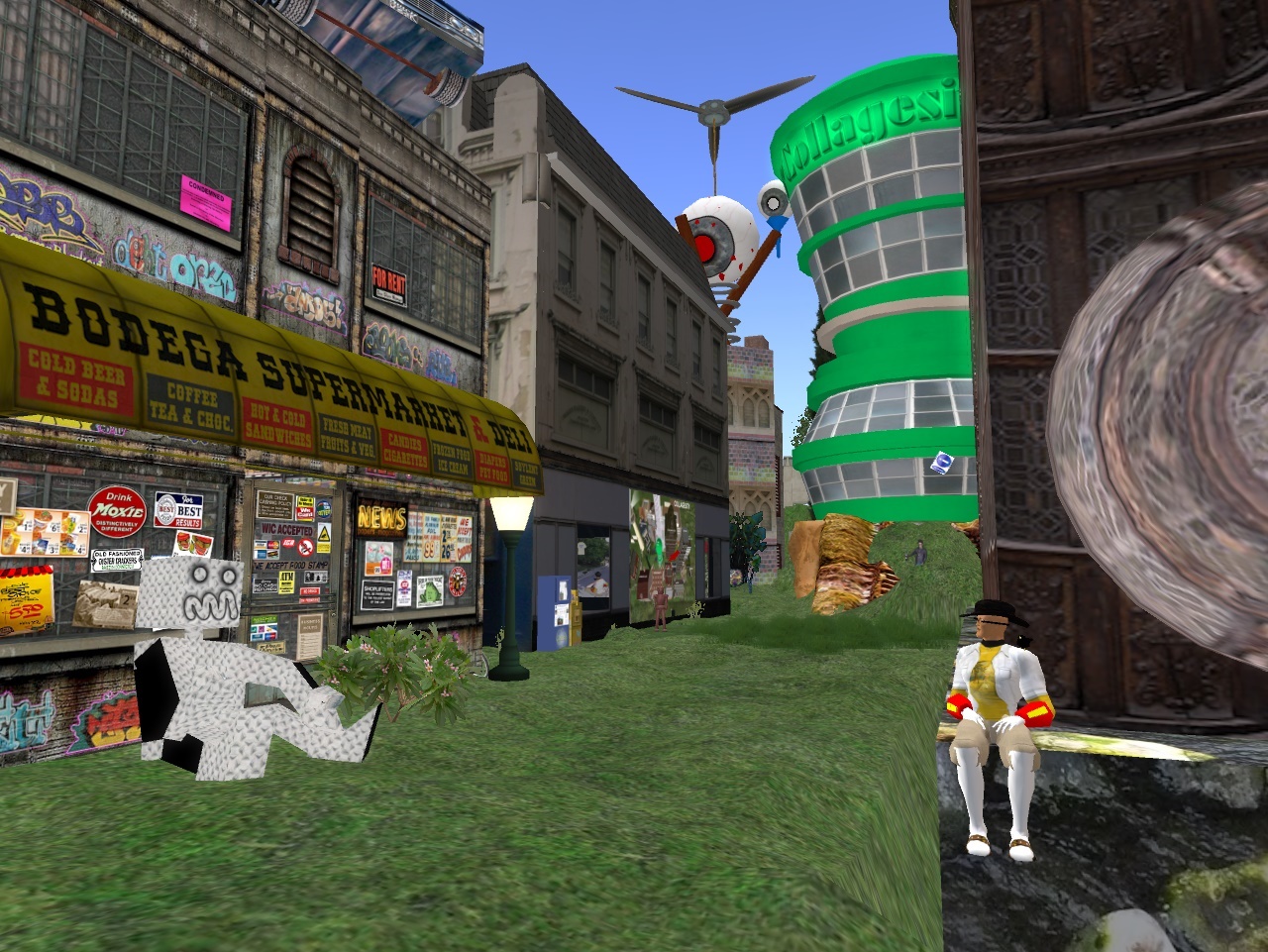
Collagesity isn’t perfect, but it’s as perfect right now as I want to make it, perhaps. Next would be storytelling, usually, but a shift back into collage making might be a path instead. This weekend I may have a chance to return to Mythopolis for more picture taking. March on Sunday! My traditional spring hiking season is coming up. Daylight savings time begins the week after that. It’s a good time of the year, if only I can get past this perhaps one last really cold week here in Blue Mountain. Can I learn to love Blue Mtn. again and its hiking seasons?

I’ve advertised Collagesity on one popular SL art group and already received some encouragement. Am attempting to branch out in RL and contact other collagists and study their works. I hope to have an influence myself but I’m not sure that’s going to happen. As I was writing in an email today, maybe my unique perspective is on the heavy analysis side. I treat collages like dreams to be interpreted, or, more exactly, collage *series*, because they don’t exist in isolation any more for me. They almost always come in series of 10 at the least, like the latest Embarras series (10 and *maybe* counting… maybe).

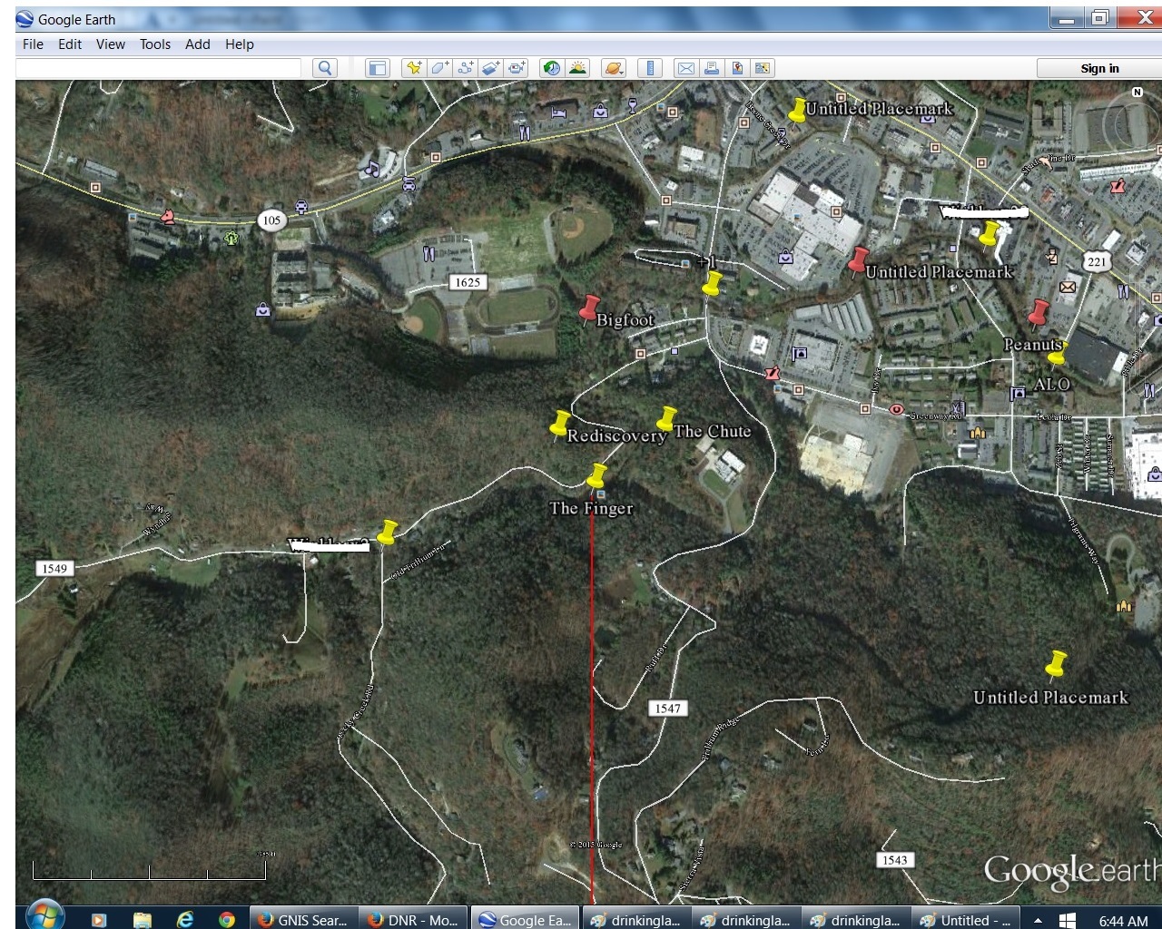
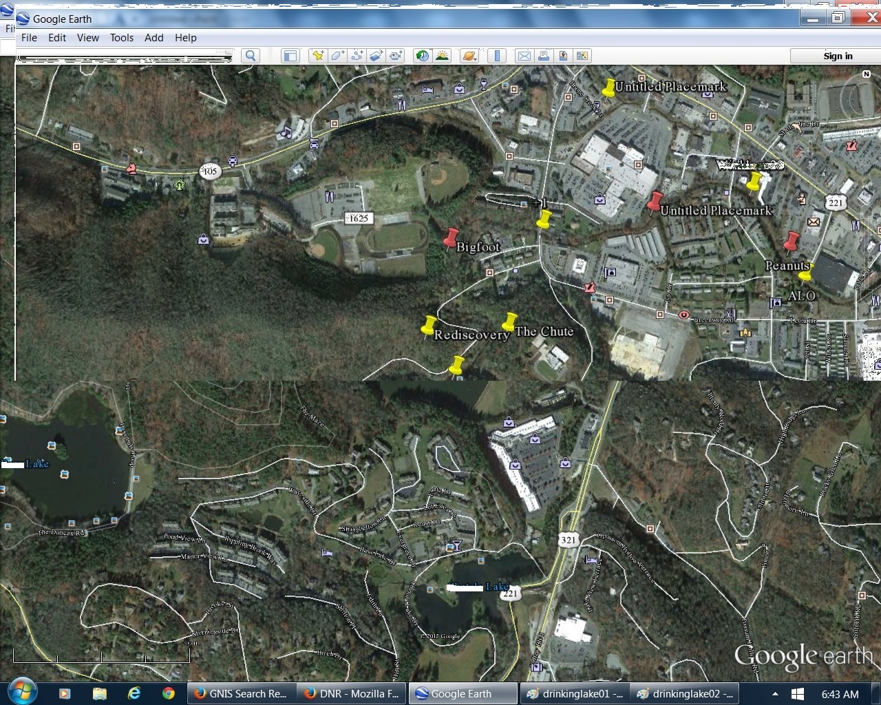
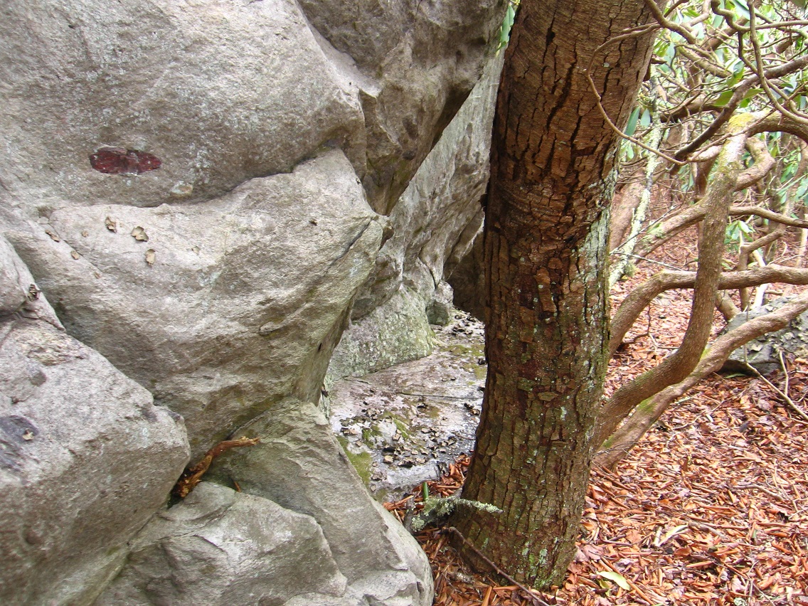
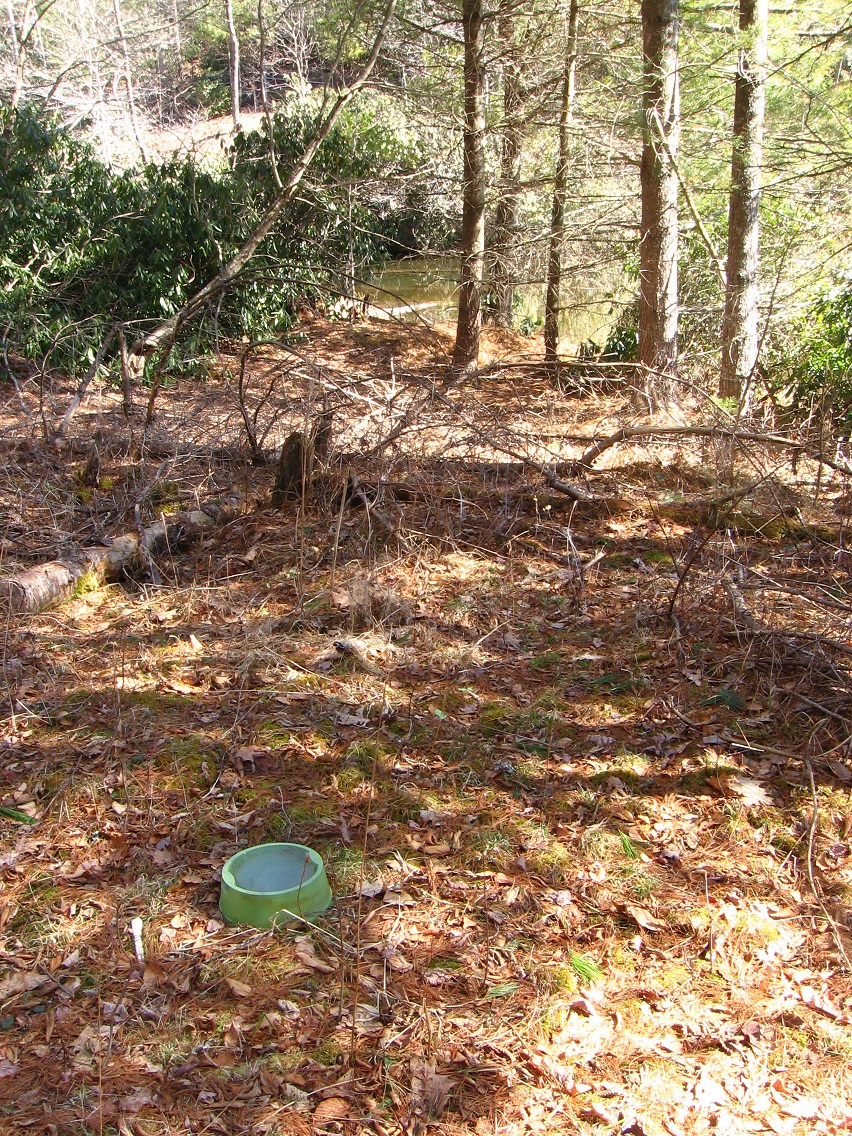
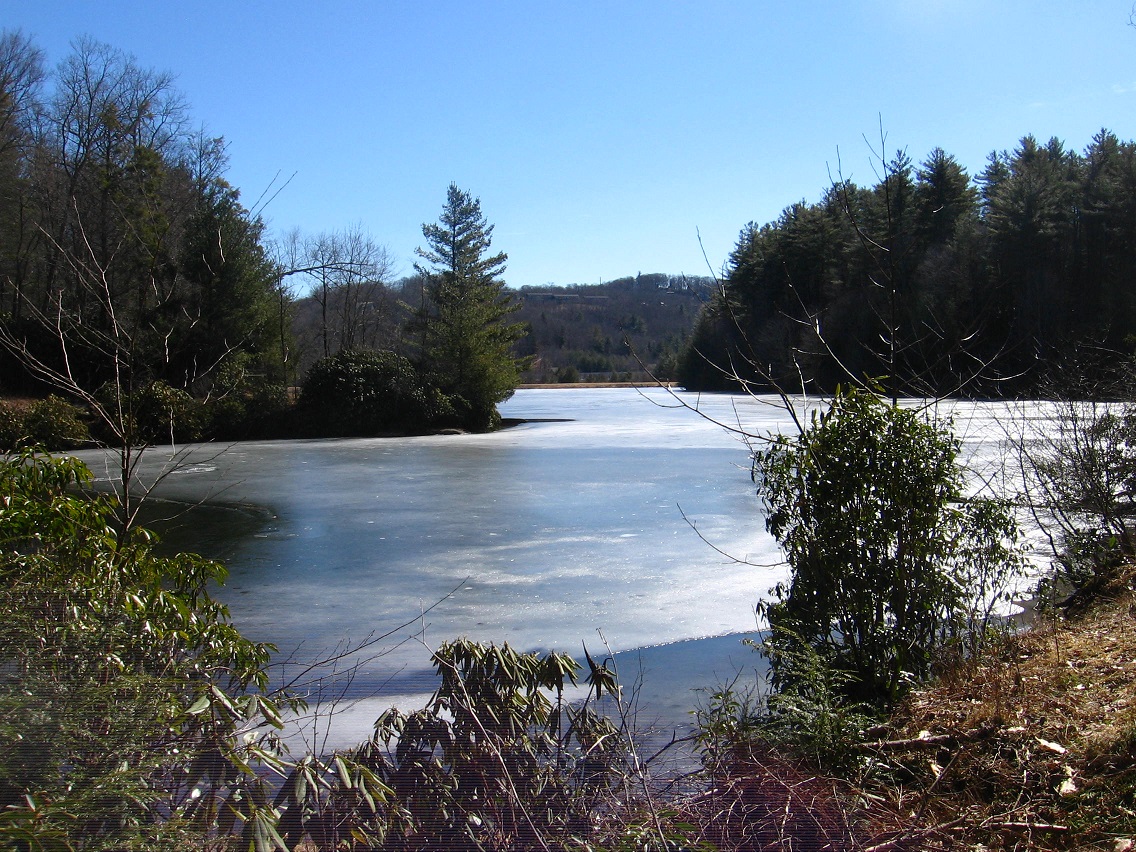
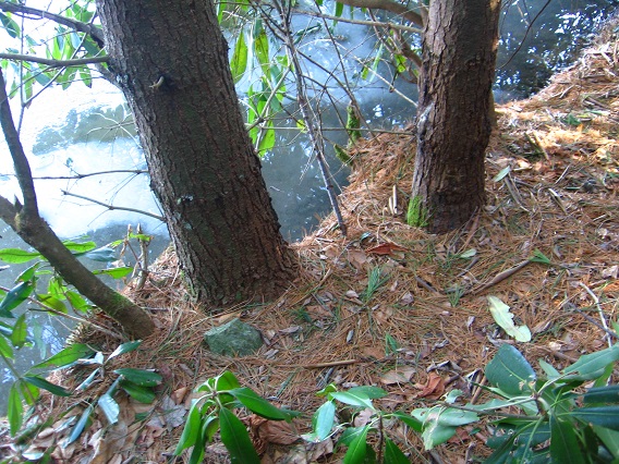
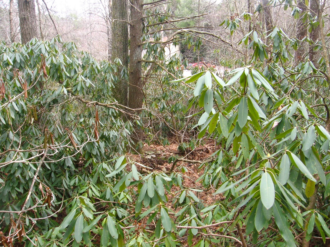
I’d love also to go back to Middletown soon, and I’m sure that will happen. I feel like an art event at Dead Center Hill could come about in March. But I must think mostly of Blue Mtn. in March-May. Will Whitehead Crossing in Frank Park act as the focus this go around? Sharieland over in Herman Park? So many options still. One place I definitely want to go back and take pictures of is TILE Creek below Drink Lake dam., which I explored about a week and a 1/2 ago some.

It’s relieving to think that I probably won’t be giving up my Second Life land anytime soon to focus on the outdoors. I can have both (!). I still have over 260 prims to play around with in Minoa at last count. I still have wriggle room for experimenting.

IMG_0142smaller
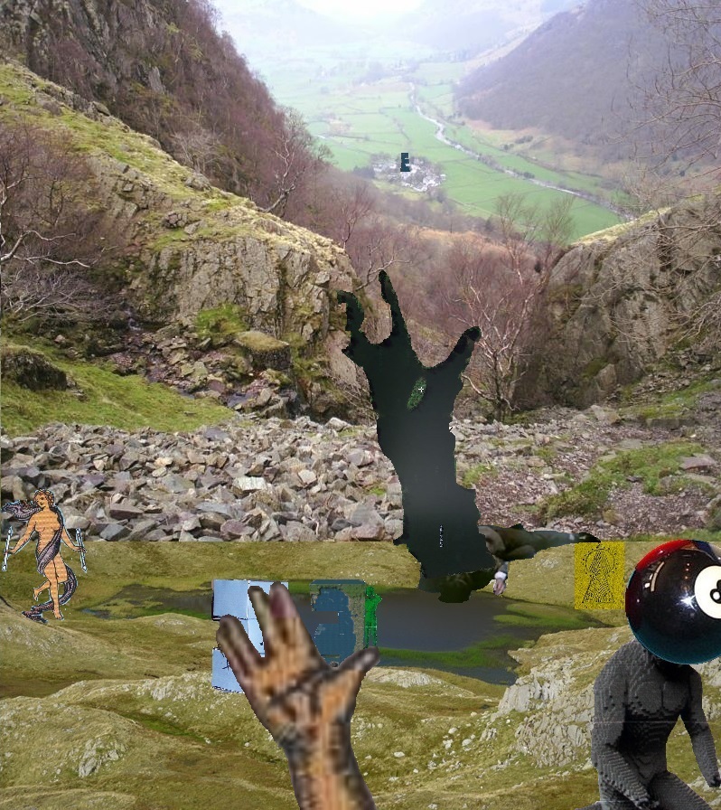
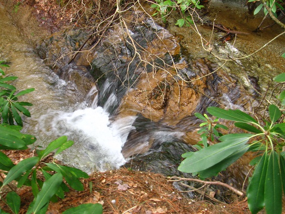
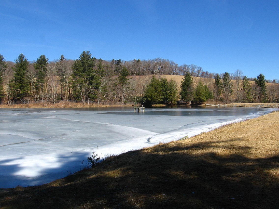
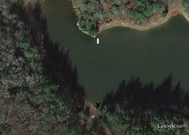
Drink Lake, Herman Park (the “I”)

IMG_0130smaller
Below its dam: a place in the rhododendron (Ditchlandia?).

IMG_0131smaller

—–

“Yes I would like to talk about the creatures that stalk the land below the dam. You have a ditch running across the whole place…”

bb:

… pictured above.

Hucka D.:

Yeah. Suppose. Can’t see.

bb:

It is here you’ll… sorry… you go…

Hucka D.:

It is here *you’ll* make a camp. Perhaps not this spring but later. It’s perfect. The lake is alive.

bb:

Herman Park makes a comeback.

Hucka D.:

Yes. (pause)

bb:

What of the mystery hole?

Hucka D.:

Aliens made it. To get you interested in their lake and their park again. Your attention was floundering. That was their exact words.

bb:

Can my Second Life property at the Rubi Woods co-exist with my renewed interest in Herman Park, if that comes about?

Hucka D.:

It will come about. And, yes, to the question. Both can exist together, even feed off each other. Have you created an Mmmmmm in Second Life yet?

bb:

Not quite yet. Maybe tomorrow.

Hucka D.:

Make it early if so.

bb:

So we have the Mmmmmm’s crashing into their First Tree in the First Goodmobile, then establishing themselves and their civilization first around this tree, then spreading out across all of Great Meadow and even Good Meadow to the west, at least the red version of these toy avatars — around Baffle Bush and Big Log and Second Tree. Then King Bill establishes his small kingdom even further north west, on the edge of Good Meadow.

Hucka D.:

Good Meadow became Great Meadow at that point. Or visa versa.

bb:

And he[ King Bill] had his martin bug keeping him company.

Hucka D.:

The bug beats the bird[ after all].

bb:

He was *orange*, this King Bill. He was sought after for intense wisdom. The other Mmmmmm’s were green and red mainly.

Hucka D.:

Mainly. (pause)

bb:

But then they eventually migrated, gradually, into Hermania and the rhododenron.

Hucka D.:

A great magnet that was indeed. Great Magnet. That’s their phrase for it.

bb:

Because it had so many entertainment and cultural possibilities. And I suppose the council at Meeting Rock took place around this time — in the transition between meadow dwelling and rhododendron dwelling…

Hucka D.:

There had to be a council because there were so many diverse cultures in the area. The Mmmmmm’s, the Mossmen, the Marbles. The big 3 M’s. Then the sentient beavers and their swearing ways. But others you haven’t studied yet. The ones that worship the ditch, and the hole. The lake is alive. Drink Lake.

—–

The Mmmmmm’s wanted to stay in the meadow so they would be seen by rescue planes. But part of them split and wished to live in the rhododendron… safer. A small city (Hermania) was established around TILE Falls and Tip Drip. TILE and Tyle became confused. Meeting Rock was activated. 4n1 or Foreign One or 4orrin1. Hole Tree resonated with the hole at the other end of Drink Lake, Hucka D. Hucka?

herman01smallest
the I and the y

herman02smallest

Snapshot1072_001
Drink

Snapshot1072_002

Then he said that she was a wind, a strong terrible wind, coming out of the darkness of a stormy sea and that he was a boat left on the shore of the sea by a fisherman.

Snapshot1072_003
Drink too

Leave a comment

Filed under **VIRTUAL, Drink Lake, Herman Park, Heterocera, Rubi^

Bill Mtn. to much of rest of Frank and (esp.) Herman Parks

billmountain03

Leave a comment

Filed under Allen Knob, Bill Mountain, Billfork, Byng, Concreek, Drink Lake, Fork Creek, Frank Park, Gnirps, Great Meadow, Green Oz Creek, Hand Spring, Herman Park, Hermania, Jonesborough, Lost Valley, Quartz Brook, Spoon Fork, Tile Creek, Wealthy Mountain, Whitehead Crossing, Yards Creek, Yards Mountain

Heart O’ Herman Park

Since I’ve gotten around to writing the text for this post, the appellations for the lakes pictured below have changed. Head Lake in the map has “reverted” back to Heart Lake, and the actual Head Lake appears to instead be the larger body of water at the bottom of the map, here called Heart Lake. So the two names have been reversed in the meantime. Drink Lake, to the left, will probably be still known as this in future posts, although it is understood that behind-the-scenes planning had it at some point as Hand or Hands Lake. Instead, at some stage in the development, the “Hands” part was moved to the opposite side of the stream in effect, or made the *source* of the stream, hence Hand Spring, which begins with “hands” as well (upper center of map). The implications for this move are quite enormous for the Frank Herman Einstein blog.

And now Bass Ackwards Lake (map’s left) is now called or implied to be Health Lake, completing the 4H analogy. And all this is now directly assoc. with the state of Arkansas through its own, strong 4H resonance, including containing the only US Heath and Heart population centers. Health Lake also could be different from the other 3 named Herman Park lakes in that it might be spinning in an opposite direction from the others, whatever that means. One clue to this is the removal of “Wright” from old 3 leaf clover emblems of the 4H club when a 4th “H” is added, which might mean that the one *left*, the 4th (Health), is spinning in the opposite direction (or opposite of (W)right). But what is this spinning if so? Could it be the direction of time itself?

Leave a comment

Filed under Billfork, Byng, Drink Lake, Fork Creek, Great Meadow, Green Oz Creek, Hand Spring, Herman Park, Hermania, Jonesborough, Tile Creek, Wealthy Mountain, Wedge, The, Yards Creek, Yards Mountain