Whitehead X-ing Thoughts

Some thoughts while I have them in my head upon rereading old blog entries about this most central of all Frank Park locations, it seems.

Hucka D.:

I am here to help. You have Grey Rock, you have Seal Stone. You have No Title Spring. You have the yellow brick road leading to the 50 bottles region no more [“Goodbye”]. You have The Rocky Trail, which goes into and beyond Grey Rock. You have Rock the Rocket Man, who crash landed next to Green Stream and took The Rocky Trail to Green Turtle. Green Turtle was also known as Green Parrot. On this same finger of land is found Edward Stone, a bleedthrough of Edwardston, which also happens to be near a Green Turtle[ in Mythos].

bb:

Which of the stones is Seal Stone, Hucka D.?

Hucka D.:

A choice. Some people go both ways — and so forth.

bb:

I think I see. ‘Course the names could have shifted around. What about the Orange Hill?

Hucka D.:

Castle Dundee. Home of Mr. and Mrs. Dundee. Who owned the dingo.

bb:

Is there, then, a Line of Dundee?

Hucka D.:

Might be.

bb:

High Octave Castle, then.

—–

dingo rise/fox fall

—–

bb:

And then just a little more — I think Rock would have found The Grave and thought it to be Whitehead’s, the originator.

Hucka D.:

Marble City. Marble Falls.

bb:

Whitehead X-ing is such a complex area!

Hucka D.:

You build on Fantasia Brick Road and take it to the next level. Also: Fairy House. Like Elton John is a famous fairy, in a positive way.

bb:

The [diamond patched] tail wags the dog.

Hucka D. (correcting back):

God.

http://davewainscott.blogspot.com/2011/01/peter-gabriels-mercurial-disruptive.html

—–

4/23/13:

“The evergreen grass atop the finger of land between Little Whitehead and Whitehead Brook, Hucka…”

“Fade To Moss” Production Shots

The same post talks about Rock’s grave, which is not his grave in the production shots of “Fade to Moss”. Wonder where Gene Fade is on that?

Rock’s grave, however, obviously strongly resonates with the tiny Dogpatch Cemetery only found very recently. Rock, I believe, would have stumbled upon it — could have stumbled upon it — in his explorations of the area.

When does Rock created his twisty turny tale, where he’s a bad guy instead of a good one? It’s to disguise his whereabouts and doings. He thinks like a syncher.

Do the yellow bricks hidden at Tinsity come originally from Whitehead X-ing?

I believe that Herman Park’s Billfork originates in Whitehead. Mossmen used the Spoon Fork portal system to reach Green Stream and the Korean Channel. At the upper end of the Korean Channel is Whitehead X-ing; Jeogeorock, which is Grey Rock. Had the Mossmen already found other jeogeorocks? Possibility. They traditionally come from Moss Most, an original settlement far up Spoon Fork from Frank Park, just at the edge of where it knives toward Frank Park and the portal system. Then they reached another historical node at Mocksity, downstream, then also Notherton across The Way. This is where knife truly acts as a medium between formerly cross Spoon and Fork. Perhaps The Way had not even been created (until then?) — makes sense. Gene Fade, eventual actor in all those Salad Bar Jack adventure movies, born at Jupiter Rock above Nothernton, on what is called simply Gene Fade’s Mountain in this here blog. Some say the red spot on the rock is a jewel, perhaps a ruby. But related to this one found in Second Life on the yin-yang style Bracket Islands of the Corsica continent [LINK]. Gene Fade used [My Second Lyfe] avatar Karoz Blogger to create the ruby or jewel (or a virtual rendition of such?), with, again traditionally, 32 prims or 32 facets. This is the Korean Channel. Gene Fade must have learned about the fabled Korean Channel while growing up in this Jupiter Rock/Notherton area. It was an ultimate destination, like Utah or Deseret was for the Mormons. Gene Fade desired greatly to go to this Korean Channel with its Green Stream (full of emeralds and rubies and diamonds?).

News came from afar that the Korean Channel had been sealed up for the spring/summer months. Mossmen settled in Red Head beyond the upper end of the channel, but still on Green Stream. They hid… their avatar bodies able to move through the thick rhododendron, but allowing no human humans access (like me!). Mossmen first made friends with The Bees (like Hucka Doobee) at neighboring Greenhead, strongly resonating with the honeybee name origin of Deseret in fact. There was a confusion about colors… with Red Head at the head of Green Stream and Greenhead at the head of Red(stream) [LINK: MISSISSIPPI]. Another essential energy was added to the mix with the crash landing of Rock’s Rocket at the upper end of the Korean Channel, or at the lower end of Whitehead X-ing — what would become this city. He used The Rocky Trail to move into Whitehead Crossing proper (all the imp. rocks along this path have become legendary) and settle not in the modern version of the city but at the old Green Turtle/Edward Stone region between Whitehead and Little Whitehead. The crash would open up a portal to Maine as well, allowing a single fairy to escape from Monhegan Island there (through the overlapping Little Whiteheads). This fairy, larger than any of the rest on that island, was a psychic double to Rock, and created his home in the fairy meadow on the east side of Green Stream from the crash site. Rock’s crash also highlighted the importance of Grey Rock and its accompanying Seal Stone.

But since Rock created a twisty-turny tale, disguising his actual story, the fairy could have also been Rock himself instead of his double.

Continuing this Maine-Whitehead X-ing parallel, we have the Maine Trail, a play on words of Main Trail, which would be the main trail of the area, to the west of Whitehead X-ing and connecting Jacob I. Road with the now paved or asphalted Twisty-Turny Road (just coined!).

Before I forget, there’s also probably a Crocodile Rock in Whitehead X-ing — maybe it is the same as the Green Turtle/Green Parrot, or yet another variant name of this formation.

The could have even been a battle or a war over what the name was for this particular formation (Green Turtle vs. Green Parrot).

Back to Rock… he would have passed Grey Rock with its Seal Stone on the way to Little Whitehead. He would have crossed Little Whitehead and entered Edward Stone proper (or whatever the town was named then — perhaps Green Turtle?) on the old fairy bridge (made by fairies but apparently the smaller or more traditional type). The fairies were hired from Monhegan Island (by whom?) So this “fairy bridge” becomes legendary and attached to Rock’s legacy as well. Another tradition says that he crossed into Edward Stone from the larger bridge at the present source of Little Whitehead, and over which you can clearly see the green turtle formation.

Revision: If the village is named Edwards Stone, then I think this means the Green Turtle oriented people won the war over the Green Parrot favoring tribe, who instead maybe moved upstream on Whitehead Brook to Rock’s Meadows and Rock’s Rocks, the upper limit of Whitehead X-ing. Rock would eventually make this his people instead of those at Edward Stone favoring the Green Turtle treatment of the formation. This is also like the Green Parrot province of Mythos upsteam on Edward Creek from Green Turtle and Edwardston. Green parrot would have been the shape of the formation for, say, a *normal sized human like Whitehead.*

Some variations of the story have The Rocky Trail paved with yellow or gold bricks, but this is false most likely — road too small or narrow? Instead the gold brick road was the old entrance into Whitehead X-ing, when Old Whitehead actually lived there. *Is* Old Whitehead buried at tiny Dogpatch Cemetery? But the story is certainly similar to Dorothy’s entrance into Oz — the crashed farmhouse is Rock’s crashed spaceship; the Rocky Trail is at least symbolically the Yellow Brick Road, and Seal Stone is the Scarecrow, who doesn’t know which rock is named such (some people go both ways, etc.). If there are parallels to Munchkins, they would be the meadow fairies. Back to Grey Rock and Seal Stone: the phrase “rocks for brains” also could be pertinent. Then Edward Stone is the Emerald City, complete with skyscrapers at the time. In fact, it had an unusually *high* proportion of skyscrapers to regular buildings. The population was about 20. The population use to be 40, but was cut in half during the Green Turtle-Green Parrot battle/war, which ended in a draw. Therefore the population simply refers to it as part of the larger Edward Stone, and the city changed its name accordingly. Another mysterious part is the Orange Hill or Orange Cliffs, on which the Dundee Castle is perched, where Mr. and Mrs. Dundee lived. Their dingo use to be sighted as descending the cliffs, only to come back up as a fox. Or visa versa. The legend is in many art pictures of the period.

yale04collagesmaller

Dingos descending represents the passage of life into death. Foxes ascending (to the Plane of Dundee) is death into life. They are Newborn on the Plane. They die at the bottom of the cliff where it meets Whitehead Brook. All this could be seen from Knobby Log, which was also inhabited. Knobs were homes — wood fairies once more?

Then it would be sacrilege to give No Title Spring a name, according to the fairies (?).

What did Rock find in Edward Stone? He found a population struggling to recover from the Green Turtle/Green Parrot wars. He made his home high above the town, but was able to see its skyscrapers still, so high they were. One skyscraper held the Art 10×10 (Wheeler-Jasper series). More fox-dingo images were within.

jasper04collagesmaller
“Cliffs of Dundee” (Waverly Knapp, c1812)
cliffsofdundee
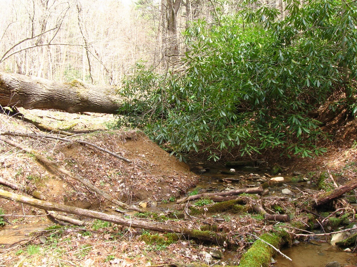
actual cliffs — not so high

Hucka D.:

There was an alignment of art galleries. And perhaps labyrinths at the same time. The Line of Art it was called. 39 people use to live in Edward Stone, and also 0.1 of a person known as [delete name].

“The Fairy?” I proffered.

Hucka D. (continuing):

The range was 38.9 to 39.3.

bb:

39 point 3 point what?

Hucka D. (ignoring the silly baker):

The line ran across the Castle Dundee to Edward Stone, atop the Knobby Log. Because it was on the line, Castle Dundee was required to become an art gallery in due time. It resisted.

bb:

Why?

Hucka D.:

There was a famous painting of the Panama Canal by Waverly Knapp (c1812), but was defaced by Rocket Man and his Rocket with “Sirius or Bust” scrawled upon its side. Mr. Dundee did not understand that this was part of the art, and painted over it.

bb:

Crocodile Dundee!

Hucka D.:

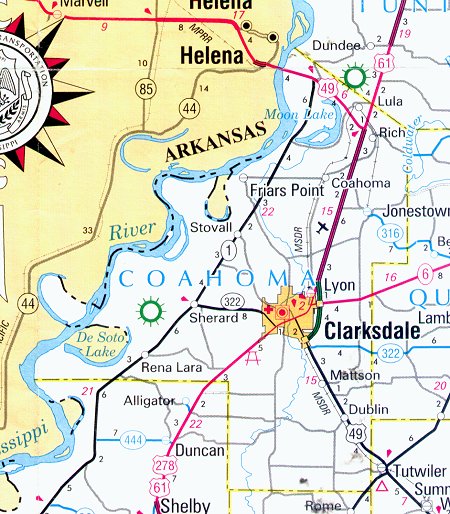
Correct. Of “Crocodile Rock” fame. Dundee and Alligator on opposite sides of a county.
coahomacounty
Ocahoma: 61×49!

—–

One important collage of the Art 10×10 was stolen from baker b., in turn, by a former art school acquaintance named Waverly Knapp (c1812). baker b. himself stole part of this painting-disguised-as-a-collage for his Gilatona-Lis series (c1812). Mouse Island was seen as the destination of death, where the fox descended down to from the Plane of Dundee and its Dundee Castle. This is also the Promised Land (of Gill’s Pier). To keep from entering the promised land too soon, baker b. avatar must move the Pier’s Gill wagon atop the Cliffs of Dundee, a difficult task in the painting but easier in actual life (cliffs not nearly as high as in the painting). Important also is the triangle of elements in the painting “Cliffs of Dundee”. Critics knew that the green mouse of the painting was R. Booger Hayes’ Mouse Island, and the Promised Land where the true nature of the island is allowed to “play out” (like the green mouse plays the guitar in the painting). The children around him are [white-ish] rocks — Rocks Von Trapp. The Green Mouse is also known as Captain or Capitan. He earns this title in the Promised Land.

Hucka D.:

Also obviously important are the images of Green Turtle in painting. Oil painting was seen as highest art, like the high castle of Dundee atop the cliffs. Mr. Dundee, the person of High Octave (Art), made sure this was understood. So the collage formerly known as Jasper 04 became the oil painting known as the “Cliffs of Dundee”. In this way it is much like Max Ernst’s Elephant of Celebes, an oil painting also based on collage principles, and perhaps also indistinguishable from a collage from afar.

bb:

Check this out, Hucka D.:

Wilsonia Visits Gallery, Takes Pictures of Updates (1)

snapshot897_028smaller

5 Comments

Filed under **VIRTUAL SL, collages 2d, Frank Park, MAPS, Mississippi, Whitehead Crossing

VWX-Town

Stands for

V irtual
W hitehead
X ing

When: Could start now.

Where: Unsure if I want to start this project on my Maebaelia property, or rent larger property elsewhere. I don’t have in mind right now to buy property from the Lindens. Thinking of maybe larger than 12000 square meters next go around.

Why: Virtual towns (like Pietmond) based on geography of virtual worlds in and of itself seems dead. Virtual geog. needs to latch onto real geog. A bridge is Google Earth and its Streetview, etc.

1 Comment

Filed under **VIRTUAL SL, Whitehead Crossing

Whitehead X-ing Again 03

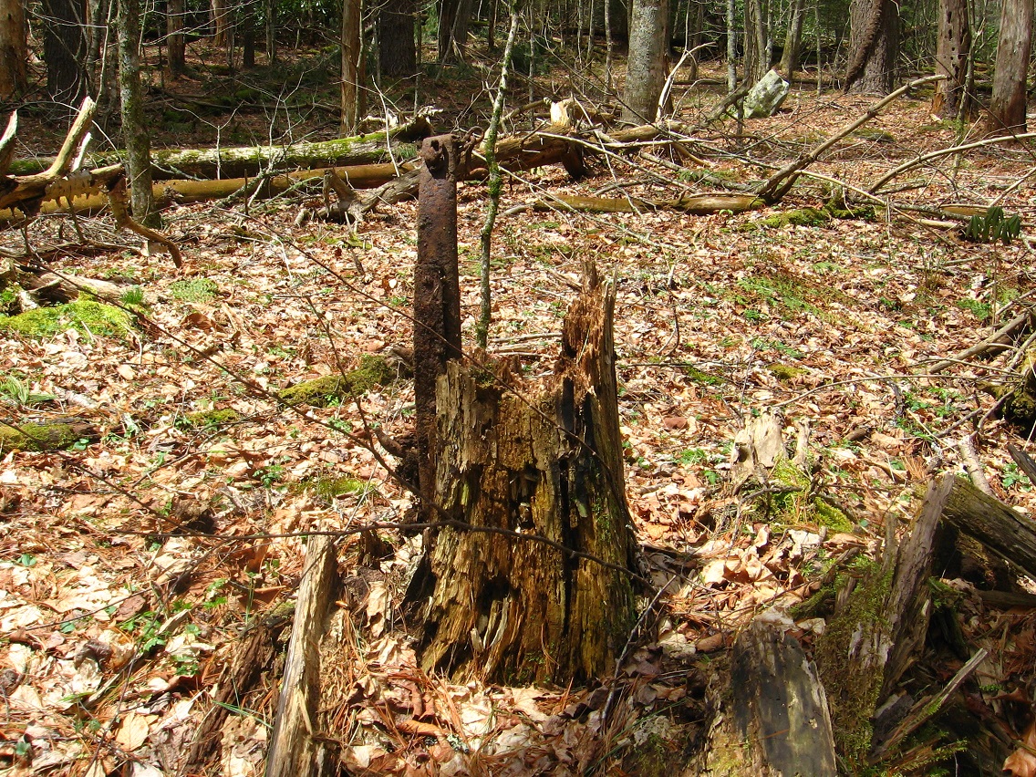
Piece of metal with chain found on bank of Whitehead Brook just beyond what I thought was metal in the stream itself, but turned out to be a long, jagged piece of rust colored bark. Queer conjunction, then.

IMG_0040smaller

Upon closer examination, the piece of metal extended well back of the chain.

IMG_0041smaller

I was able to rather easily pull the whole thing out of the ground, and stuck it in the ground inside a nearby rotting tree trunk. Let’s call it art, once more. 🙂

IMG_0043smaller

This was a rather botched shot of a shinier rock near the conjuction of Whitehead Brook and Little Whitehead. Sneakily impressive albedo in action here.

IMG_0047smallest

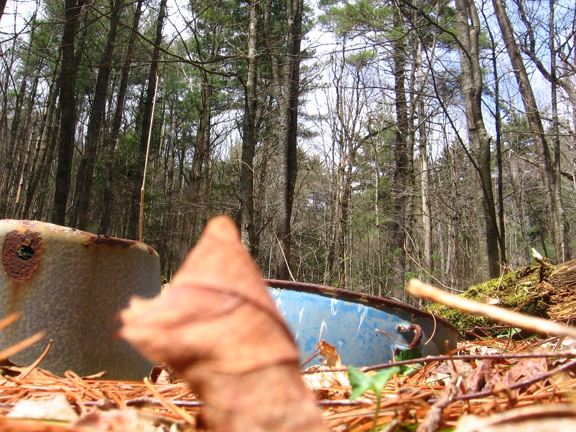
2 pots near the center of Whitehead X-ing. I have not pulled these out of the ground for closer examination yet. My guess is that the bottom is rotted out of both.

IMG_0048smaller

IMG_0050smaller

Nearby group of bottles laid there probably over 2 years ago by yours truly. No art present yet.

IMG_0052smaller

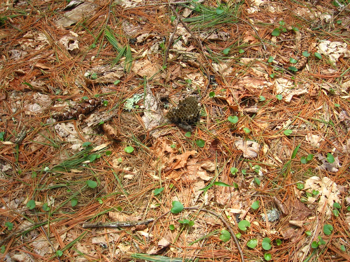
What appears to be a yellow jacket nest on the ground near the pots and bottles pictured above. Looks like it was knocked out of a tree. Wind… or aliens?

IMG_0054smaller

Buckeye saplings are common in this forest.

IMG_0058smaller

Stick’s End (interesting trunk terminus of the 4th and last stick of “4 Sticks” fame).

IMG_0060smaller

Leave a comment

Filed under Frank Park, Whitehead Crossing

Whitehead X-ing Again 02

Unnamed Whitehead X-ing rock near 4 Sticks, on the opposite side from Whitehead Brook.

IMG_0004smaller

“Exploding” end of a branch atop a nearby rock, also unnamed.

IMG_0007smaller

Interesting shiny spot on a 4 Sticks limb; of unknown nature.

IMG_0011smaller

4 Sticks. This is most likely an area originally called ZoSo because of this, perhaps later morphed into SoSo (SEE: Pietmond).

IMG_0018smaller

Floating branch segment in 4 Sticks, unusual as well because it is much thicker than the supporting tree. Does the tree mind bearing such “dead weight”?*

IMG_0019smaller

Crisscrossing of sticks in the 4 Sticks area, but not any of the 4 Sticks themselves, which run, instead, parallel to each other in a row.

IMG_0021smaller

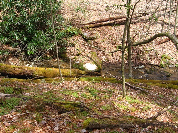
Big Log (name?) disappearing into rhododendron above Whitehead Brook. The higher creek bank before it may soon be topped with some kind of avatar “castle” or other structure. Just a vision.

IMG_0023smaller

Little Whitehead scene with the “green turtle” rock again mentioned at the end of the Whitehead X-ing Again 01 post.

IMG_0028smaller

But when we shift to the top of the formation, it takes on more the appearance of a green *parrot*.

IMG_0034smaller

—–

* Compare this to the album cover of Zoso, also known as Led Zeppelin IV. This album was highlighted in Carrcass-3, by the way.

Led_Zeppelin_-_

Hucka Doobie has since indicated that the hanging branch is a direct reference to this cover (!).

http://en.wikipedia.org/wiki/Led_Zeppelin_IV#Album_cover_and_inside_sleeve

The 19th-century rustic oil painting on the front of the album was purchased from an antique shop in Reading, Berkshire by Plant.[5][6][17] The painting was then juxtaposed and affixed to the internal, papered wall of the partly demolished suburban house for the photograph to be taken.

Page has explained that the cover of the fourth album was intended to bring out a city/country dichotomy that had initially surfaced on Led Zeppelin III:

It represented the change in the balance which was going on. There was the old countryman and the blocks of flats being knocked down. It was just a way of saying that we should look after the earth, not rape and pillage it.[8]

However, regarding the meaning of the album cover, he has also stated:

The cover was supposed to be something that was for other people to savour rather than for me to actually spell everything out, which would make the whole thing rather disappointing on that level of your own personal adventure into the music.[18]

The album cover was among the ten chosen by the Royal Mail for a set of “Classic Album Cover” postage stamps issued in January 2010.[19]

The inside illustration, entitled “The Hermit” and credited to Barrington Colby MOM, was influenced by the design of the card of the same name in the Rider-Waite tarot deck.[6] This character was later portrayed by Page himself in Led Zeppelin’s concert film, The Song Remains the Same (1976). The inner painting is also referred to as View in Half or Varying Light and was sold at auction under that name in 1981.[20]

Leave a comment

Filed under Frank Park, Whitehead Crossing

Whitehead X-ing Again 01

No Title Spring. Water only in middle of its course presently, evaporating or heading underground before reaching Grey Rock.

IMG_0038smaller

Ground shot of a rock beside No Title Spring. I’ll be taking more of these types of pictures, especially at Whitehead Crossing.

IMG_0041smaller

Another rock from about the same location. Like the spring, there’s no names for these rocks yet — but actually the spring has a name now: No Title Spring, accompaniment to Grey Rock and its piggybacking Seal Stone, it seems.

IMG_0046smaller

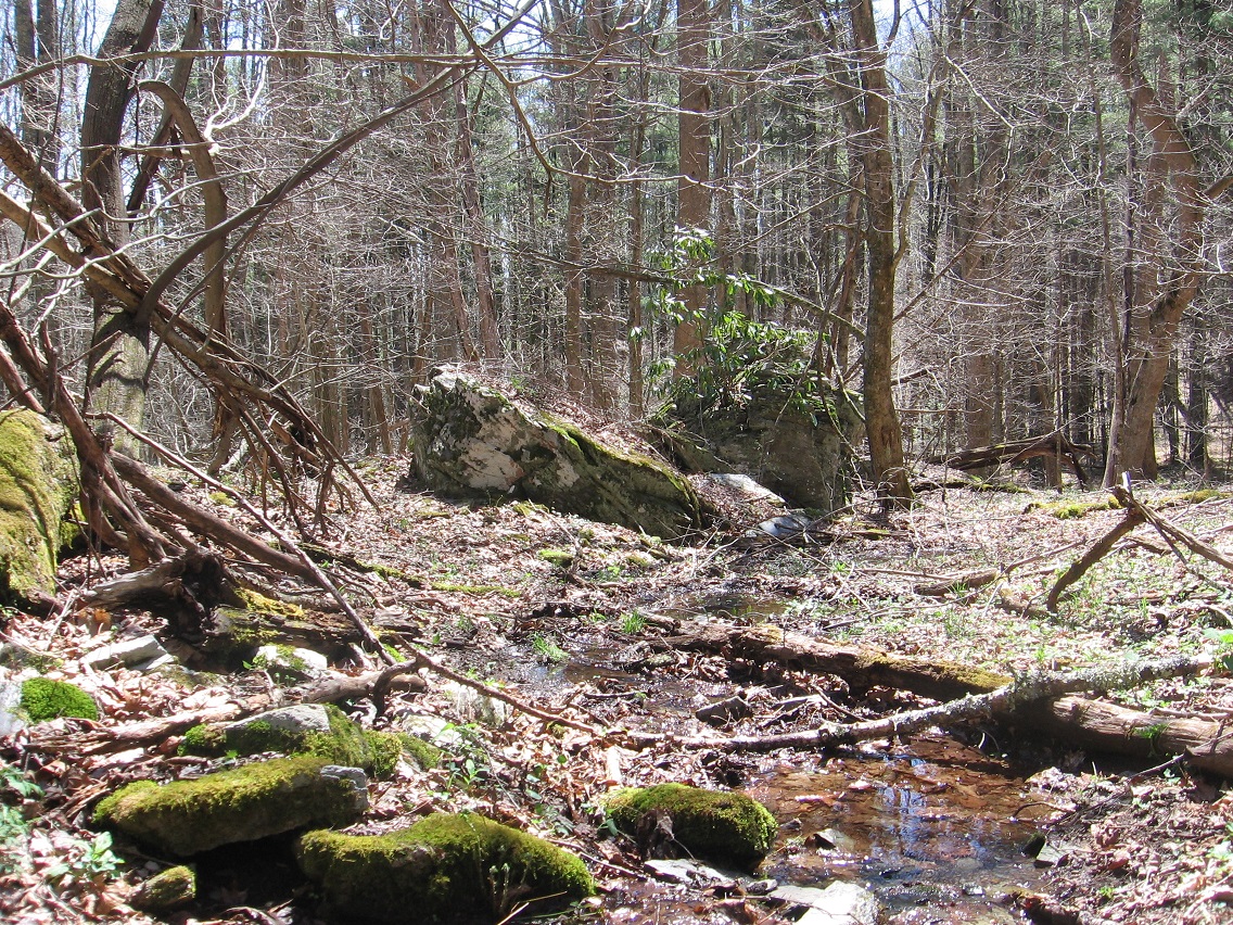
Grey Rock (left) and No Title Rock (right). It’s also possible that No Title Rock is the actual Seal Stone… all this is in development still.

IMG_0049smaller

Blackened end of an uprooted tree.

IMG_0052smallest

The Little Whitehead bridge first discussed here a bit.

IMG_0056smaller

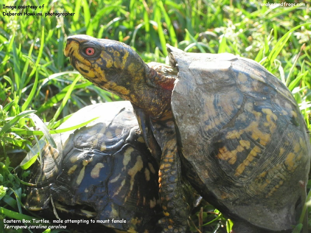
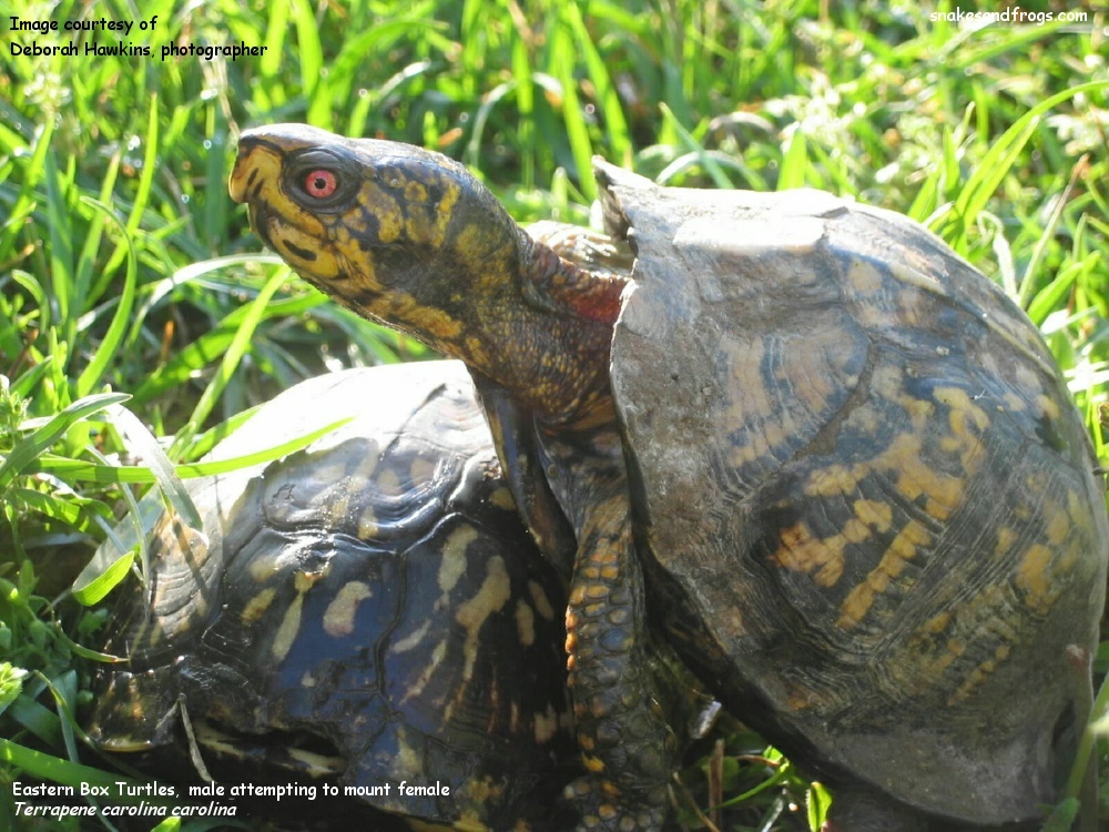
This is a new twist: the mossy colored rock in the background of the picture above certainly appears to take the shape of a green turtle (!).

IMG_0056detail

But is it *mounting* the rock?

http://www.neoperceptions.com/snakesandfrogs.com/scra/turtles/boxturtle.htm

BoxTurtle_Img_1931

1 Comment

Filed under Frank Park, Whitehead Crossing

“Focus…

… should probably remain on Whitehead Crossing, now that the Land of Purple and Blue — whatever — is closed up, Hucka D. I can keep hiking down Concreek. I feel that rocks are still telling a story there, like Pork Chop Rock recently. Obviously the new batch of leaves under Floaty Tree on The Island. (pause) I’ve got to start chronicling the Whitehead X-ing rocks. It’s time. (pause) Go back to the fairy house across Green Stream before… I mean, while it’s colder. Where is the Land of Reds and Yellows? (pause) Snake Rock — name subject to quick change — is the same as the footstone for the smaller of the two graves, Hucka D. This would be the 6 month old child. Purpleland. The Silver Brook beside it — larger — is the larger of the two proximate graves here of Dogpatch. The Totem represents their merged headstones, then, which are directly aligned with each other. That’s the meaning of The Totem, the primary meaning, unless The Totem and the headstones point to even something beyond themselves. (pause) The Totem, again, is directly pointed to by the BP Bridge, equidistant from the blue can to the north and the purple can to the south. These are probably the graves again, Hucka D., and the bridge represents just that — a bridge or uniter between the two. But the bridge is the same as The Totem, see. (pause) Snake Rock is the footstone of the smaller grave, perhaps even the footstone of both graves since the streams do not lie far apart here. I saw a snake in the same place here today, Hucka D. Maybe the same snake but again maybe only from the same snake litter. Not going back for sure, and this was a cold day up here in the mountains (!) That part is definitely closed off. Silverberg interprets the Dogpatch graves. Hucka?”

http://www.panoramio.com/photo/76295789

Leave a comment

Filed under Blue and Purple Land, Frank Park, Whitehead Crossing

Dogpatch > Concreek

This post covers one of the most shocking discoveries, certainly, from my Frank/Herman Park explorations. A fairly well traveled path, it seems, splits off from a main path near my Whitehead Crossing and quickly follows a ridge above Green Stream into the rhododendron. Already questions are arising: Why does a well trodden path just dead end as such? Do people just get off the path here, travel down it, and then find out that they — and everyone else that has done the same thing — just reached an impasse? Let’s let that question stand for a minute…

IMG_0002smaller

An interesting rock at the beginning of this side path. It seems to be some kind of marker. After finding out what else is on this ridge, beyond the rhododendron at the end of the above pictured side path, I believe I know what it could mark now.

IMG_0003smaller

In the valley below the ridge on the other side from Green Stream is found a camping spot, complete with a number of interesting rocks such as this one. Some of them could pass for primitively shaped headstones, for example.

IMG_0005smaller

Which brings us to this.

Remember me bringing up Head-Foot symbols a couple of posts back? Here’s a reminder.

IMG_0010smaller

Yes, it’s what it looks like it is. Two, in fact. The place has been called Dogpatch. It’s what lies beyond the rhododendron if you kept following that same ridge further south. It’s almost completely inaccessible from all directions — there are, in fact, only two rather narrow ways in through the woods, both of which come up the ridge from the sides. Another camping spot has been created sometime in the past (pictures forthcoming, perhaps) in the same general area and on the same ridge (at the top of one of these two entrances), but far enough away that I’m not even sure that they knew what they were camping near. Perhaps they wouldn’t care. I think I’d care, without knowing more details. And for one of the two, there’s really no more details to find. That’s the major mystery part, it seems.

We have a dichotomy or contrast of something known and defined, and something unknown and not defined. We seem to have something smaller and something larger. We have a head and a foot in both cases. We have a mystery.

Dogpatch, Arkansas, according to the GNIS database, has a long list of variant names, but a list that can nevertheless be whittled down into 2 groups: those related to Marble Falls, and those related to the pre-Dogpatch and pre-Marble Falls designation of Willcockson, as displayed on this 1895 map.

IMG_0012smaller

We move beyond “Dogpatch” for now back to Concreek and this nifty view of an orange-red and pretty large salamander trotting around its bottom. It was kind enough to pose for me.

IMG_0014smaller

Leave a comment

Filed under Arkansas, Blue and Purple Land, Concreek, Frank Park, MAPS, Whitehead Crossing

Korean Channel

koreanchannel01

“Korean Channel is perhaps the original audiovisual tiling, Hucka D. Zebra and Damsel Island are clues — black and white. Head trip.”

Hucka D.:
Yes.

bb:

Obviously a gold plated football helmet that is also an army helmet, like the one used to name Monkey City when I was a boy. Land of Reds and Yellows must play a role as well. Perhaps everyone is bushed there all the time. This is a way beyond Billfork. This is the Korean Channel.

Hucka D.:
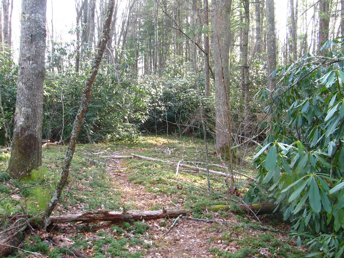
Yes. Where is the Land of Reds and Yellows? Would that be Whitehead Crossing?

bb:

Unsure Hucka D. Let’s see, the Land of Blue and Purple would be entered through that log bridge, but the actual significance of that bridge is that it points to The Totem in Silverberg on the other side of the channel. I think a battle between Silverberg and Purpleland took place in the past. Purpleland grouped around the smaller of the 2 Silverberg streams, and Silverberg proper around the larger of the two, perhaps centered by Silver Pool.

Hucka D.:
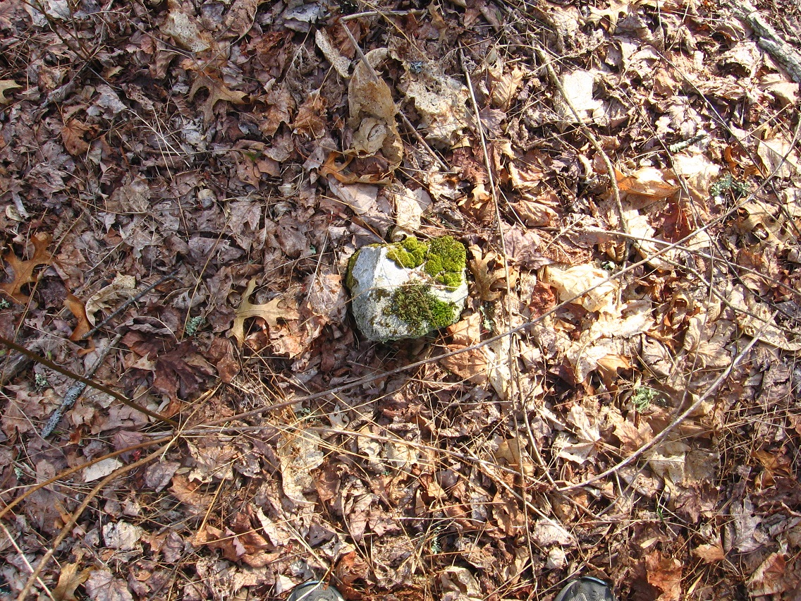
Yes.

bb:

(after a pause) Maybe Green Stream itself was originally known as the Silver Stream. Now this applies to Spoon Fork perhaps.

Hucka D.:

Maybe. Yes.

—–

1 Comment

April 16, 2013 · 2:07 pm

How deep…

… to be mired in Whitehead Crossing at this stage in my life? I can’t *move* there. I never will. I can meditate there. I have several medi-spots already assigned (head of This Stream has no Title and mouth of same, for instance — this is the one in front of Grey Rock). Head and foot again… Beginning of life… end. I’m going to be thinking of that darn…

Hucka D.:
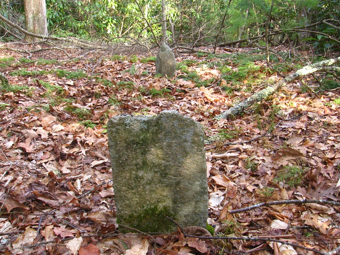
Hellow. Dwelling again.

bb:

Not really. Not much. Just don’t want to write the text to my Land of Blue and Purple posts tonight. Listening to Satie. He’s a strange dude.

Hucka D.:

Mellow.

bb:

What’s the [Land of Blue and Purple] Totem, Hucka D.?

Hucka D.:

Alien language. Lined up with the Bridge Between Purple and Blue.

bb:

Yes that was odd. Pointing right to The Totem.

Hucka D.:

Protected by briars. Protected from man. Like you. But you see still. For you. For you to see still. It is Purple.

bb:

It is on… wait, I’m going to make a map.

Leave a comment

Filed under Blue and Purple Land, Frank Park, Whitehead Crossing

As it is.

Hucka D.:
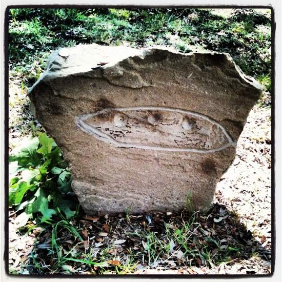
Crim cram. Blippy.

bb:

Am I interrupting something, Hucka D.?

Hucka D.:

We’ve known for years. We’ve walked past it hundreds of times, maybe thousands.

bb:

Yes, I know. I must ask the obvious question up front.

Hucka D.:

Is it yours? Not really. Is it alien? Perhaps!

bb:

An alien child.

Hucka D.:

How long have the aliens been living in Frank Park? They have had access to that road a long time. The road the alien baby was created along. Perhaps.

bb:

Much more likely that it was a racial mix.

Hucka D.:

If you wish. If it comforts. But it doesn’t explain why the aliens are here *now*. Why they are attempting to communicate with you. You find this thing for a reason at this time. It is Heads and it is Foote. White County.

bb:

I’m thinking it’s more like this… can you see?

aurora-texas-alien-spaceship-crash-grave

Hucka D.:

Square little fellow and all. Is that what you think?

bb:

It’s not impossible. We know that aliens are around. Hybrids.

Hucka D.:

Yes.

Hucka D.:

You’re never going to know what’s in it. So you must treat it as an archetype. It is Heads and it is Foote. Coins. Seale (pause). Seal.

bb:

What of the Land of Blue and Purple?

Hucka D.:

Spin-off. Another hybrid. Rock again. Totem. Juxtapose. You’re not going to find the answers the conventional way.

bb:

Thank you.

Hucka D.:

You’re welcome. You must take it as it is.

Leave a comment

Filed under Blue and Purple Land, Frank Park, Whitehead Crossing