Monthly Archives: June 2013

2989

589px-ClarksdaleMS_Crossroads

http://www.abovetopsecret.com/forum/thread329611/pg1

http://www.supernatural.tv/reviews/legends/s2/cb.htm

ats2488_breakdance

37 x 49 x 61.

1 (12) 13 (12) 25 (12) 37 (12) 49 (12) 61.
(0 1 2 3 4 5) — see below

2989
2989 Pooh’s Honeypot – Brickipedia, the LEGO Wikilego.wikia.com – 384 × 288 – More sizes

384 x 288 = 110592

49 x 61 = 2989

37 x 49 x 61 = 110593

tÀ
Set # 2989-1: The Big Honeypot 1,200px × 883px

1200 x 883 = 1059600

1200 x 883 * 2 = 2119200

2989 x 709 = 2119201

709 is the 59th progression of Arithmetic Progressions/Difference of 12, starting at 1.
2989 is the 249th progression of Arithmetic Progressions/Difference of 12, starting at 1.
2119201 is the 176600th progression of Arithmetic Progressions/Difference of 12, starting at 1.

biglog02

ZOSO:

biglog03

1 Comment

Filed under Frank Park, MAPS, Mississippi, Whitehead Crossing

Big Log, so forth…

Big Log, a name for the giant knobby log (tulip tree, I believe) crossing Whitehead Brook near or at the center of Whitehead Crossing. Is this the crossing itself?

4 Sticks is just below, and stands for Zoso, as Big Log represents the Robert Plant independence from Lead Zeppelin, as we’ve seen in [delete carrcass name because I’m too lazy to count back the numbers right now]. Big Log is a song from Plant’s 2nd solo album, and first where he establishes this true independence, and more positive way to view the world beyond a dark, Zeppelin heart. “Rock and Roll” also plays a role, so: Rock and Role. I am Hucka Doobie the Bee.

http://www.songmeanings.net/songs/view/97531/

Crossroads (actual Whitehead in Florida is Whitehead Crossroads, conjoined with Red Head, Greenhead, Norum, Orange Hill and others in the same county):

Robert Johnson sold his soul to the devil in Rosedale, Mississippi

“You know where you are, Robert Johnson? You are standing in the middle of the crossroads. At midnight, that full moon is right over your head. You take one more step, you’ll be in Rosedale. You take this road to the east, you’ll get back over to Highway 61 in Cleveland, or you can turn around and go back down to Beulah or just go to the west and sit up on the levee and look at the River. But if you take one more step in the direction you’re headed, you going to be in Rosedale at midnight under this full October moon, and you are going to have the Blues like never known to this world. My left hand will be forever wrapped around your soul, and your music will possess all who hear it. That’s what’s going to happen. That’s what you better be prepared for. Your soul will belong to me. This is not just any crossroads. I put this “X” here for a reason, and I been waiting on you.”

—–

bb:

That you Hucka D.? Fiddling around with my blog on your own again?

Hucka D.:

Hi baker b. Welcome to the Baker Bloch Blog!

bb:

Thanks, er. So this has something to do with Johnson at the X-ing. Too queer that we just watched a Mighty Boosh episode (“Electro”) based on this famous selling of a soul.

Leave a comment

Filed under Frank Park, Whitehead Crossing

Foggy Sharieland

IMG_0001smaller

Hucka D.:

What’s with the Poisoned Gate? Who came up with that? A negatively charged gateway in Whitehead Crossing?

bb:

Just a story[ mind you].

Hucka D.:

What happens when I, as a bug, pass through the gate?

bb:

Probably nothing. Again…

Hucka D.:

It *can* be used as a portal, if you know the magic words.

bb:

What of the Diamond Rock at Diamond Beach, Hucka?

Hucka D.:

Another rock for you to find. Piecing together the whole story. Slowly.

bb:

Is it the tale that wags the dog?

[no answer]

—–

As explained in the Whitehead X-ing, Late Spring 03 I found a rock on a Whitehead Brook beach shaped like an almost perfect diamond rhombus, perhaps of a 4×7 variety. This happens to be the base shape for my old Opus 1 drawing from my college art class days. I’ll have to dig up a picture of the work, which I still have downstairs in the basement somewhere. Maybe I should take a new pic of it in light of finding this diamond rock. What would filmmaker Gene Fade think of this discovery? Did his “Fade to Moss” subject matter Rock Meadows know of this particular rock? Many questions to be answered.

Leave a comment

June 6, 2013 · 6:23 am

More Whitehead X-ing

TEXT SOON.
IMG_0001smallest

IMG_0002smallest

IMG_0004smaller

IMG_0005smaller

IMG_0008smaller

IMG_0010smaller

IMG_0015smaller

Leave a comment

Filed under Frank Park, Whitehead Crossing

Tomorrow…

Will probably return to Whitehead X-ing tomorrow but perhaps not on the regular trail. Ran into a bit of dog poo (deer?) which I got on my shoes, and want to avoid that. Can come in from the Norris Brook direction, which I almost decided to do today. Re-read my April-May ring binder this weekend which has a lot of stuff on The Crossing. Bugs were a bit of a problem today — not sure how much I can “stay” there on my days off, although I didn’t head to Green Stream but only got as far as 4 Sticks. Didn’t work on the Contemplation Loop, but may tomorrow, if I return. Bug repellant may be in the offering soon.

Norris Brook has been rather neglected this spring. Also could hike on Wealthy Mtn., or head toward Herman’s Mansion and the Sharies’ land. Lots of options. I might accomplish the latter. Might return to Billfork in the TILE Creek area.

Hucka D.:

Prepare!

bb:

What do I need to do, Hucka?

Hucka D.:

Get to Devizes… drop your junk. Head back out. Come back around 7. Head out again. Get some sleep. Get up in the morning. Go back to Costa. Head toward Oliver’s Castle. The Oliver’s Castle. Understand the history. Go to Drew’s Pond. Understand the history. Take a look at the Crammer. Go look at the several churches and take in the graveyards. Look at the entrance to the tunnel underneath the castle. Is it a black hole? Yes! Take in the locks. Then drive to The Barge, Alton Priors. Hike to Woodborough Hill. Hike to Adam’s Grave. Go to West Woods, yes. Go of course to Avebury. Hike in all directions. But Alton Priors esp.; Adam’s Grave.

Leave a comment

Filed under **VIRTUAL SL

Second Life Mainland — basically empty

Snapshot4444_001

If I do return, it will probably be to the Nautilus continent, which has more stuff per square meter simply because there’s so much coastline. Contrast this to the dry interior of Second Life’s two largest continents: Jeogeot and Maebaleia. Not much at all to see there now.

Above, Baker Bloch sits at a lonely bar on Gong, a small Linden pool in Jeogeot. Technically this is coastline as well, but not enough to act as an avatar magnet of any kind. I’ve rented and owned land around this lake a number of times, and created the virtual village of Teepot nearby in 2010 and 2011. Good times. Now this small bar is all that’s left for meters and meters around.

There’s a small chance I might rebuy the land I held in Sikkima this winter, but only a small one — rebuild New Pietmond in that sinkhole and all.

Hucka D.:

Nautilus, yes. Whitehead Crossing: good to go. Prepare!

Leave a comment

Filed under **VIRTUAL SL, Jeogeot, Nautilus

Whitehead X-ing, Late Spring 03

A rounded rock called, um, Welcome Mat, because it denotes the place where you ascend up from the Korean Channel into the wooded plateau of Whitehead X-ing, specifically the 4 Sticks region. This is on the main path through the area once more, or on the old Rocky Trail in other words.

IMG_0115smaller

A brand new find today: A perfectly diamond shaped rock found on a Whitehead Brook beach just below the 4 Sticks region. Too perfect, I feel. The beach has most likely garnered the name Diamond Beach as well, then, with Diamond Rock its epicenter. Hmmm….

IMG_0118smallest

Is this a 4×7 diamond? If so, it could be attached to additional, charged magic.

IMG_0120smaller

The Poisoned Gate seen from the Bug Fields to the immediate east of Grey Seal rock and No Title Spring.

IMG_0128smaller

Yes, an interesting bug was found while walking through Bug Fields: a yellow dragonfly who was kind enough to pose for a snapshot for my blog. Thank you!

IMG_0129smaller

This seeming visage of a hawk or snake head at the edge of Bug Field reminded me of the nearby and more obvious Green Turtle visual effect.

IMG_0132smaller

Whitehead X-ing tree fungus.

IMG_0136smallest

A smooth and straight log laying parallel to the flow of Little Whitehead.

IMG_0137smaller

2 Comments

Filed under Frank Park, Whitehead Crossing

Whitehead X-ing, Late Spring 02

We come now to the blog post about Great Island and Rock Island, or the rocky islands marking the upper and lower parts of The Straightaway mentioned in Whitehead X-ing, Late Spring 01. Super important islands these seem to be, the most important within Whitehead Crossing by all present evidence.

First is Great Island, which may become “Rock Island” in the future (with current Rock Island changed to something else). All of this being part of a slowly developing picture, of course. I’m presently calling this Great Island, however, to emphasize its importance within WC/WX. First off, to me it quite obviously marks the very southern tip of Whitehead Crossing/Whitehead X-ing, and is also the much larger of the 2 islands I’m referring to here. The island is roughly cresent shaped, and maybe about 30 yards from tip to tip, and about 10 yards wide. I’ll have to check these dimensions in a future visit (perhaps today!). Besides its size, the other obvious quality of the island is its *rocky* nature: there’s little that *isn’t* rock on the island. If you could count all the rocks out visible to the naked eye, they’d probably number in the hundreds of thousands, perhaps the millions.

IMG_0069smaller

There are also some plants on the island, but almost all spring out of a rocky base, as with the below cluster. I’ll have to nail down what type of plants these are later on.

IMG_0075smaller

Rather interesting close ups of leaves with water beads. I’d like to take more of these pictures in the future.

IMG_0076smaller

IMG_0078smaller

The upper end of Great Island, with The Straightaway directly behind it.

IMG_0080smaller

Now we go to the opposite side of The Straightaway to Rock Island, a considerably smaller affair than Great Island but similarly chocked full of rocks from end to end. The roughly circular island is about 10 yards in diameter, and is pictured better at the end of this April post (2nd picture from bottom). The below picture is instead taken *from* Rock Island toward the upper end of the Korean Channel, where Green Stream disappears (from this direction) into the rhododendron thickets to the east of Whitehead Crossing’s center.

IMG_0084smallest

A rocky beach immediately downstream from Rock Island, also taken from the island itself.

IMG_0110smaller

Details from Rock Island:

IMG_0112smaller

IMG_0114smallest

(continued in Whitehead X-ing, Late Spring 03)

1 Comment

Filed under Frank Park, Whitehead Crossing

Whitehead X-ing, Late Spring 01

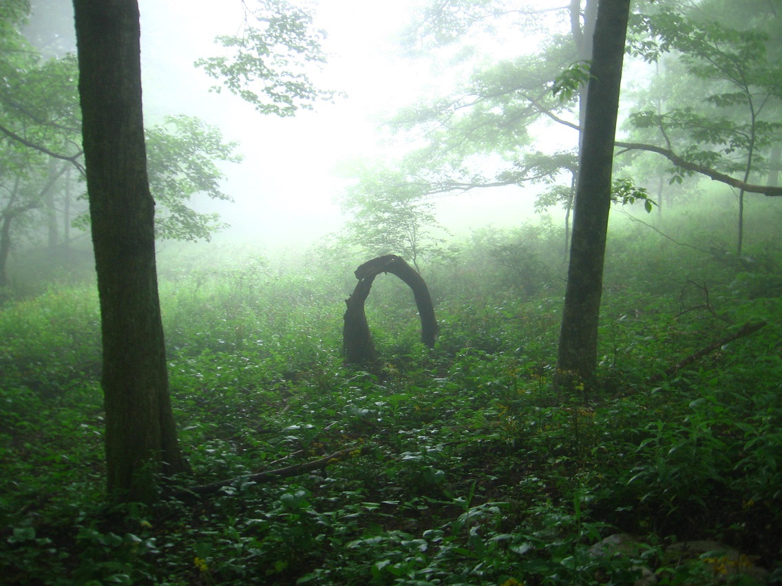
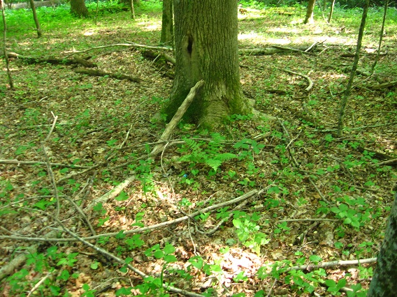
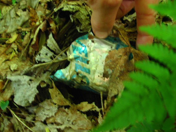
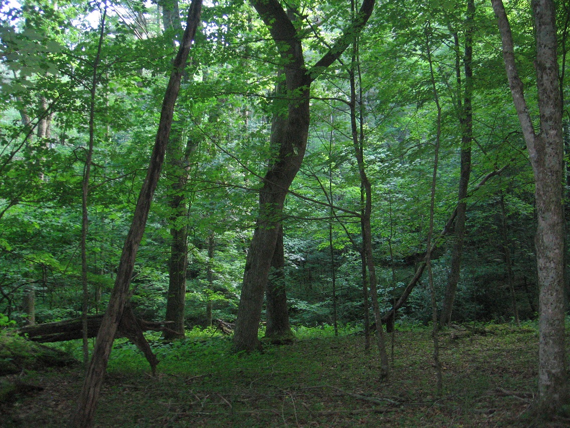
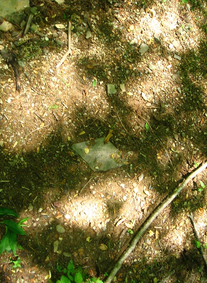
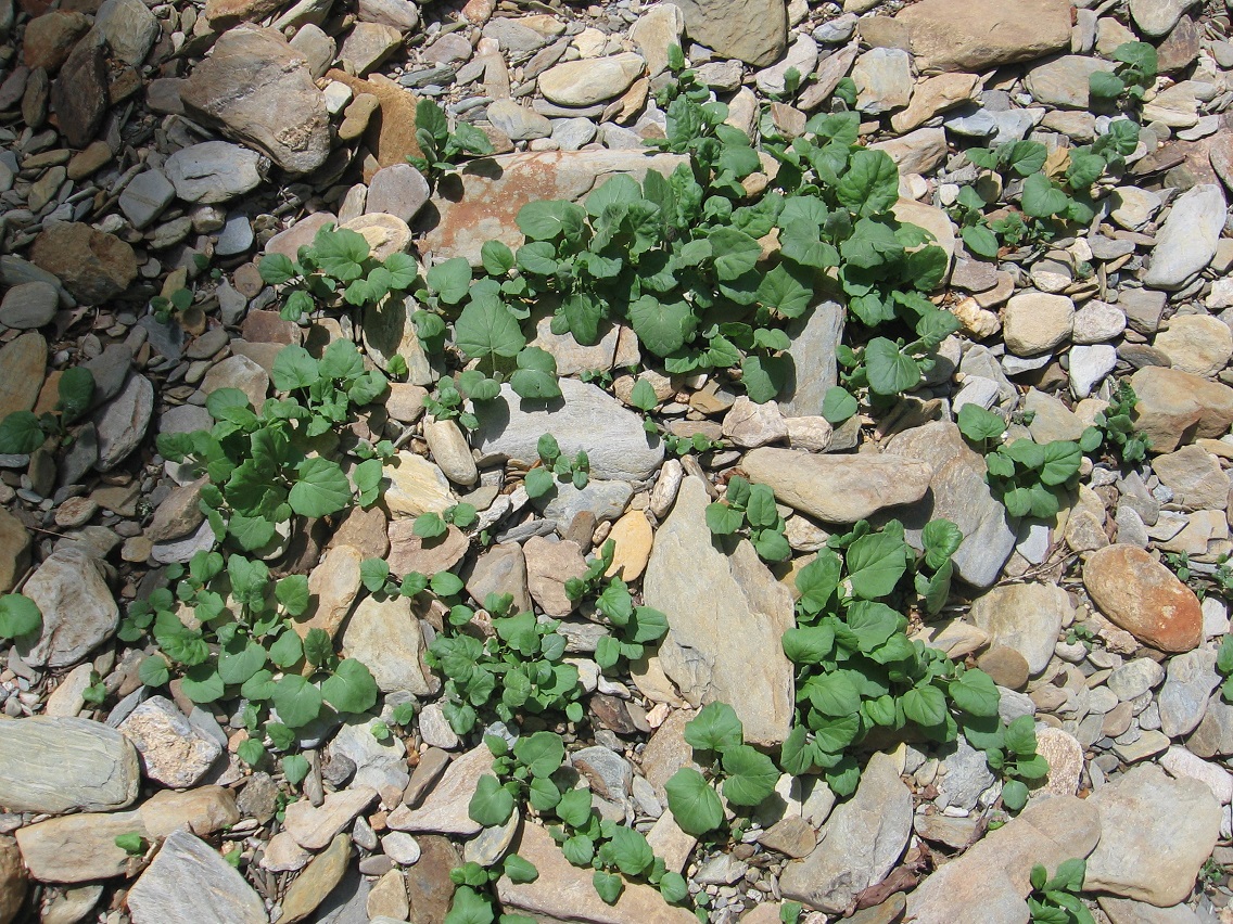
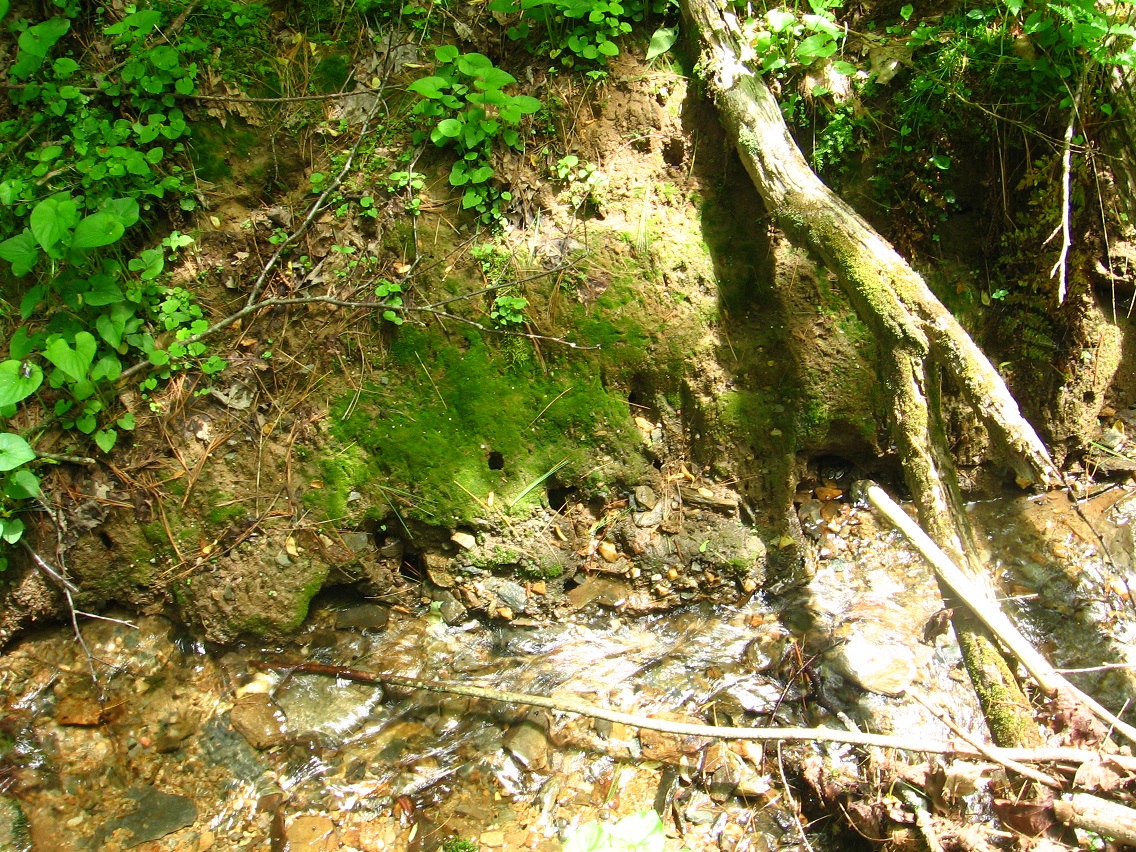
Unfortunately I deleted the first slice of my new Whitehead Crossing related photos last night when preparing this post. But I’ll probably take pics of all the deleted scenes soon enough. So let’s go with what we’ve got this morning. The first picture records part of the process of creating a “thinking circle”, or a place I would walk around in a big circle and just think out loud. I’ve made quite a number of these down through the years in various spots; *thinking* most recently in… well, actually I hadn’t made one of these in a number of years, and have forgotten where the last appearance would be. I use to have a thinking rock just outside of Boulder, within the Herman Park borders. I’d basically pace a small loop upon the rock while talking to myself about various, usually synchronicity related subjects. The stone lays below one of the park’s many carriage trails, jutting from the top side of a deep valley to Boulder’s west. But I haven’t been over there for many years. In contemplating the matter further, I *have* created quite a number of these loops, but usually they are of a very transient nature, and used only once or twice. But there are exceptions. Will the Whitehead Crossing contemplation circle (new name) be more long term in nature? Well, first I have to nail down the path of the loop, which I didn’t quite do this fine, late May day. The gray feather at the base of the tree pictured below might be an indicator on where the loop should be placed — I was looking for signs like this when continuing to pick out the path in test runs. If the loop is completed it seems to be of a ovoid shape, about 40 yards long and 25 or so yards wide, and centered by a large tulip tree which forks into two parts near its base.

More on that story as it develops during future visits.

IMG_0044smaller

A shot of the huge Knobby Log crossing Whitehead Brook near the center of the complex.

IMG_0046smaller

Bank of Whitehead Brook, opposite a small beach just upstream from Knobby Log or Big Log — haven’t quite settled on a name yet.

IMG_0049smaller

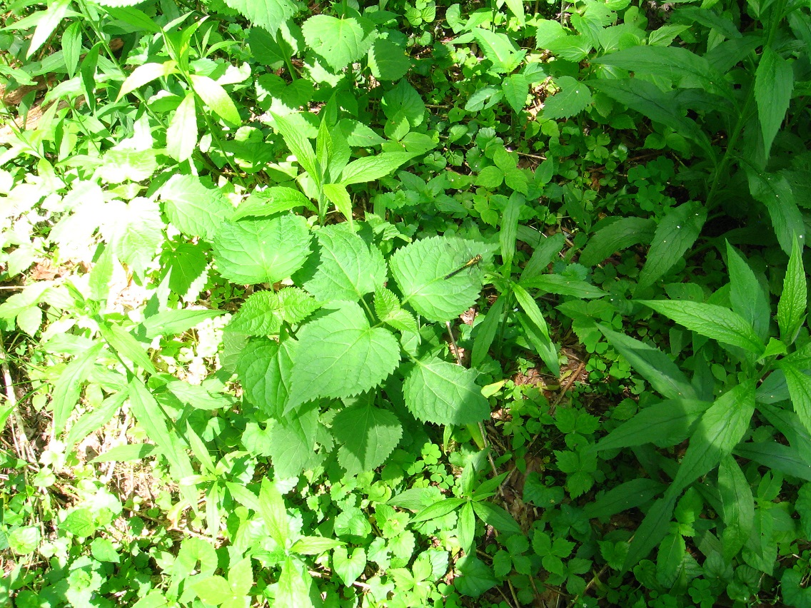
I didn’t take any pictures this day of the heart of the 4 Sticks area, which may also represent the beating heart of Whitehead Crossing as a whole. However, I certainly stopped in, as I always do when visiting WC, and took note of late spring developments. Yes, it truly seems to be an epicenter, and if I was — no, *when* I camp in the area — this is as good a spot as any to set up a tent. As with the creation of the Contemplation Loop, I’m very cognizant of the wildlife already present, with my aim to disturb and especially kill or eradicate as few of the native plants as possible. Contemplation Loop is being set up in the only logical place it could be within Whitehead X-ing, in a more open area with much fewer ground plants than other spots. The center of 4 Sticks also fits this bill, but within a much more limited range, probably too limited for the creation of a contemplation loop there. But I’ll talk more of 4 Sticks later on as well… this is probably where I’ll set the model train track down also (a la a Lion’s Roar), if it comes to that. 🙂

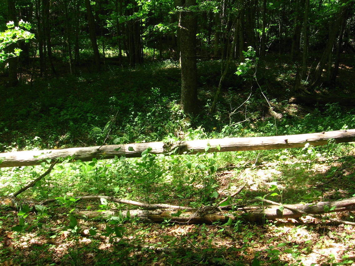
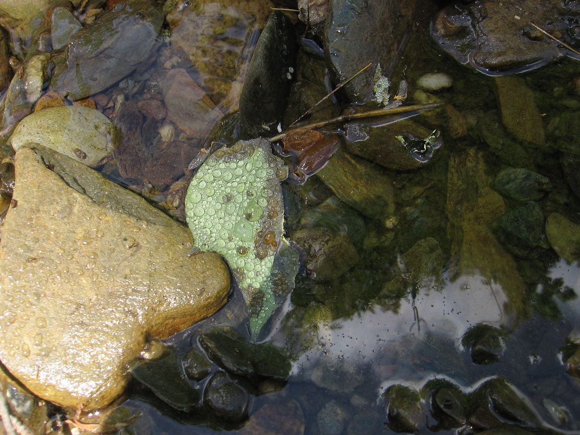
But to the below picture: Another thing I decided to work on today was identifying the main path through the Whitehead Crossing area, beginning at the Maine Trail (official hiking trail just north of Whitehead Crossing) and running all the way through the meat of the area — past the Contemplation Loop and Grey Seal and Cliffs of Dundee and 4 Sticks, etc. — to Green Stream, a distance of several football fields, perhaps. Just past 4 Sticks (heading to Green Stream) the trail seems to divide into 2, with the left fork quickly coming to a dead end, however. Instead, the less obvious, right fork is the way to reach the fabled stream, soon crossing the below log with a peculiar fungus attached to it now, looking perhaps a bit too much like a skull (?) Or looking at the picture a little better now, perhaps just an amorphous face with still identifiable eyes, nose, and mouth regions. The black and sparkly dots on the “face” may be insects of some kind — didn’t check when I took the picture. The same log had a large yellow fungus on its top a way’s up the branch, which I also took a picture of but didn’t turn out as well as this one.

IMG_0054smaller

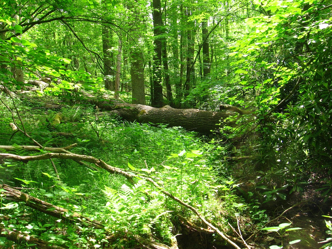
As I’ve stated before, the Whitehead X-ing area is large and varied, with many prominent locations yet to be named. This would include the spot below, perched on the edge of a rather deep yet dry valley filled with rhododendrons, and marking probably an eastern edge of WC (or “WX”) as a whole. This would be between 4 Sticks and Green Stream on the main path through the area.

IMG_0058smaller

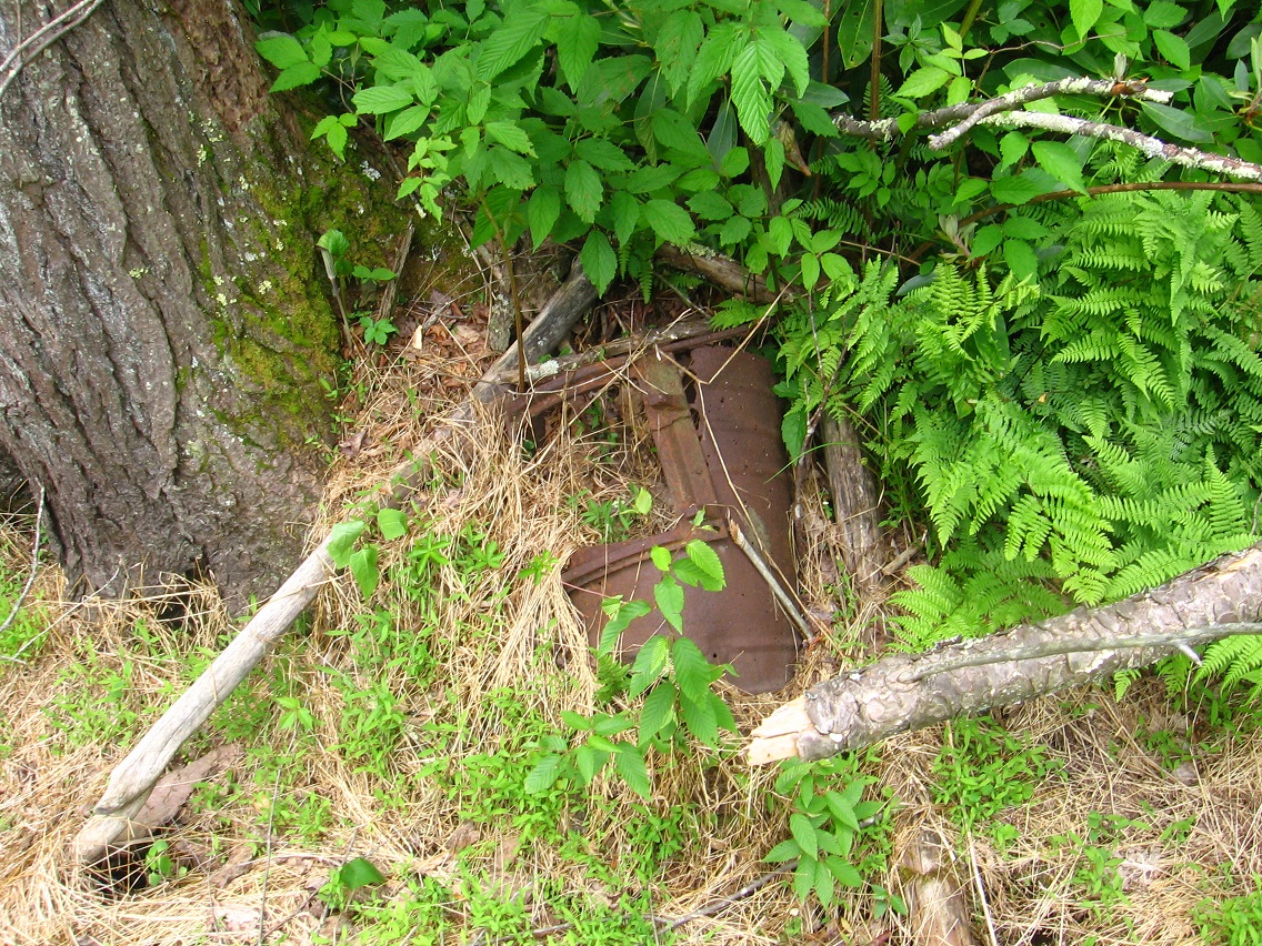
Reaching the flat plain surrounding Green Stream at the upper end of the Korean Channel, I decided to take a picture of Rock’s Rocket, first discussed in this Baker Blink Blog post from last spring. As you can see, Gene Fade has yet to find money in the “Fade to Moss” motion picture budget to paint the famed wreck, per Rock’s suggestion. Or perhaps Gene Fade thinks the rusted look will work better in the movie; can’t wait to see it, whatever. 😎

IMG_0060smaller

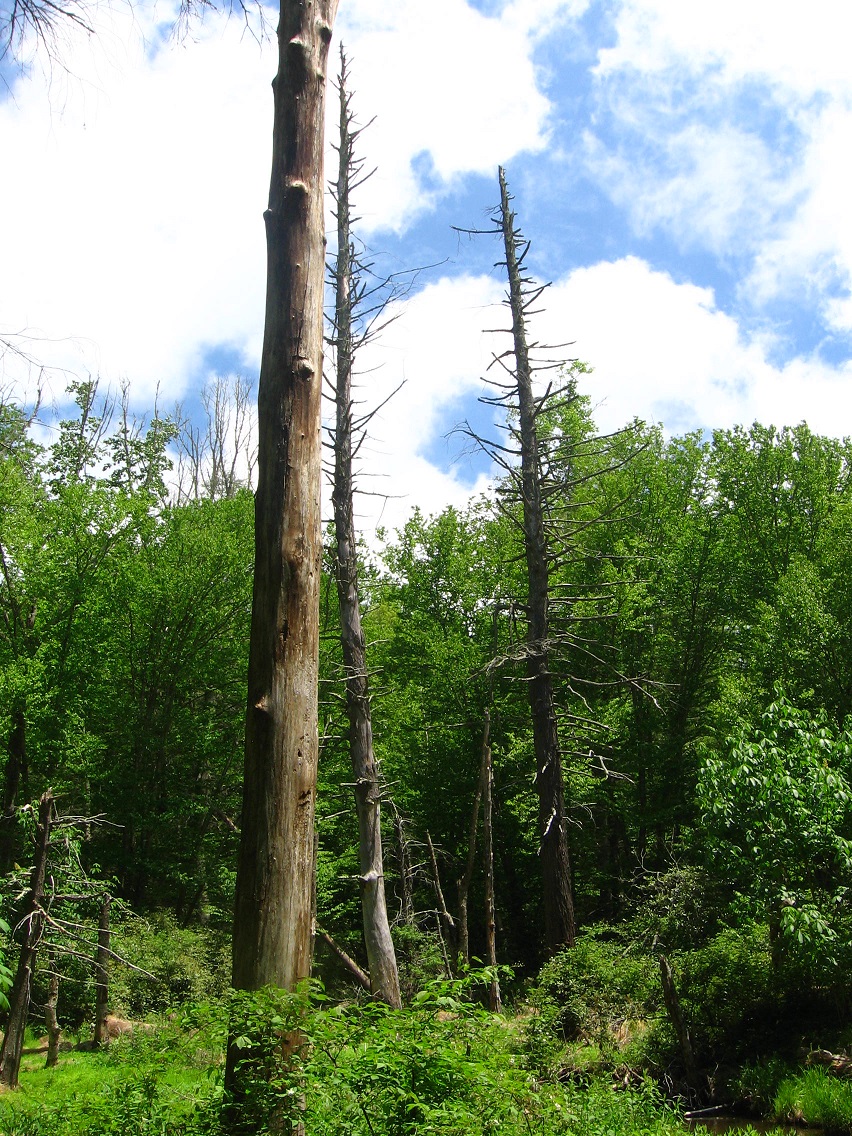
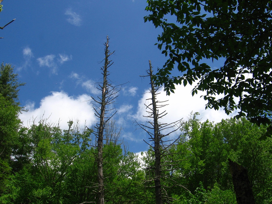
Another picture of those large, dead hemlocks positioned on opposite banks of Green Stream, marking a type of gateway.

IMG_0063smaller

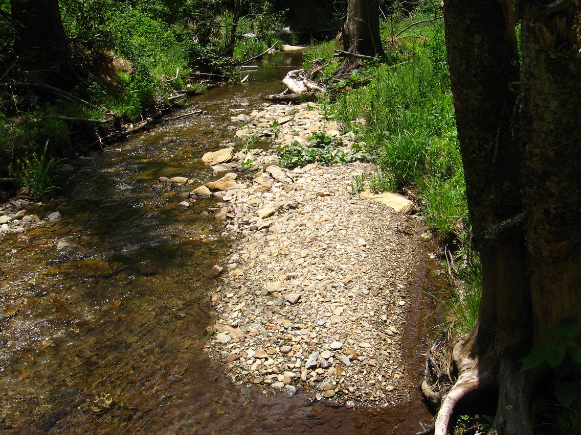
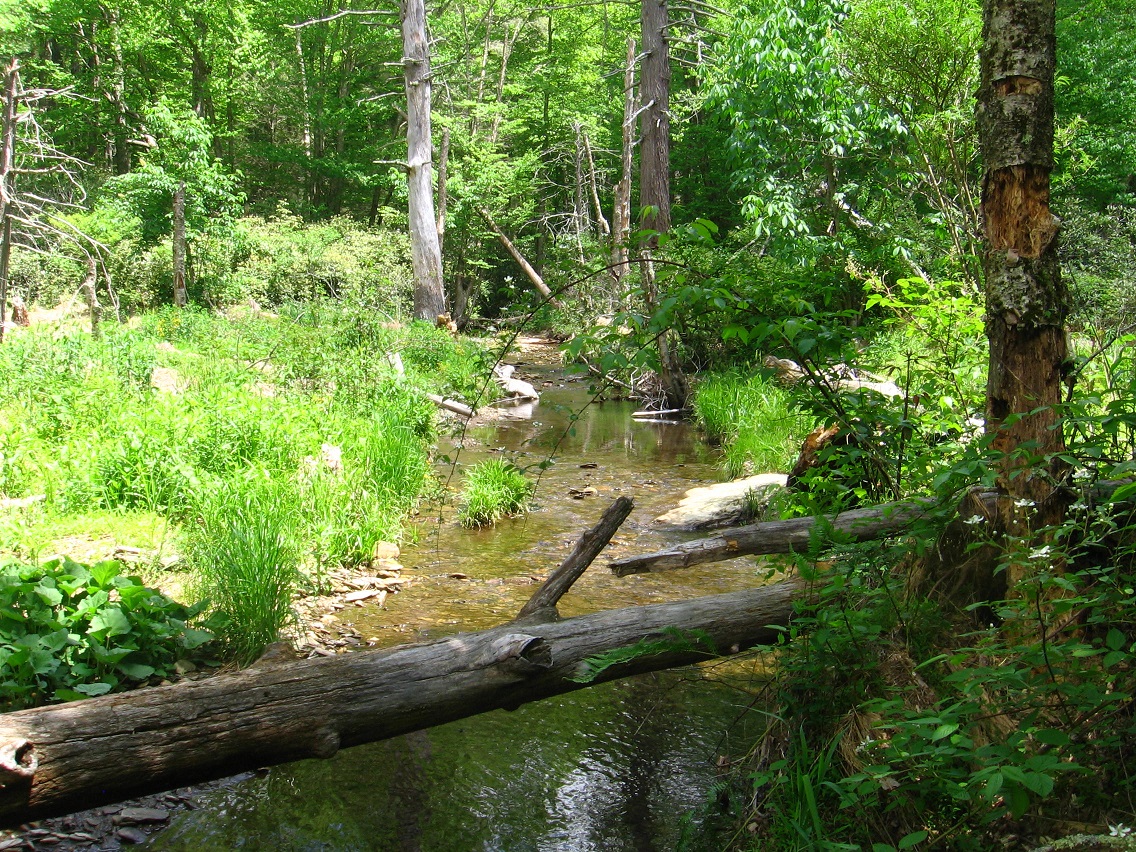
I’ve decided to call the passage of Green Stream through this gateway the Straightway, because, as you can tell from the below photo, the creek runs basically straight in this area, or from the northern tip of Great Island, which I’ll get to in a moment, and the very upper limit of the Korean Channel at another rocky island which I’ll also talk about below.

IMG_0065smaller

Mr. Blue Sky was very much in evidence during this day’s visit to the Korean Channel.

IMG_0067smaller

(continued in Whitehead X-ing, Late Spring 02)

3 Comments

Filed under Frank Park, Whitehead Crossing