Monthly Archives: October 2013

Sharieland 02

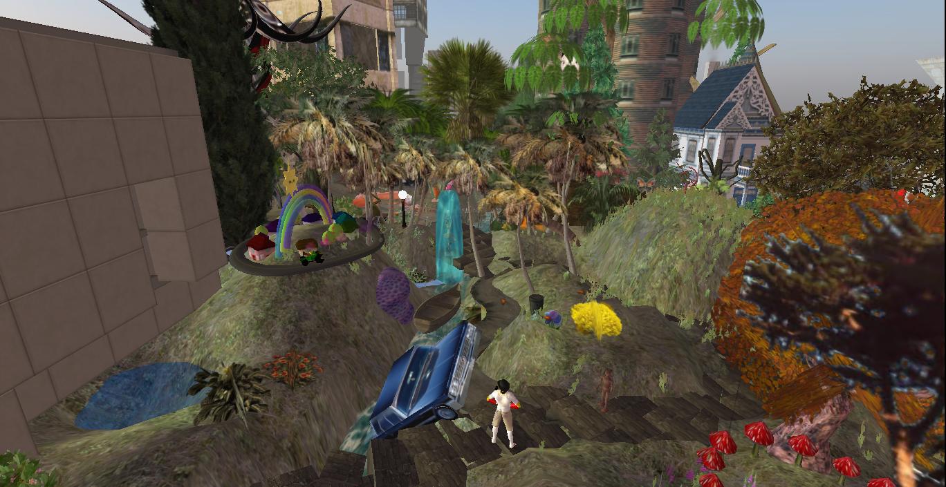
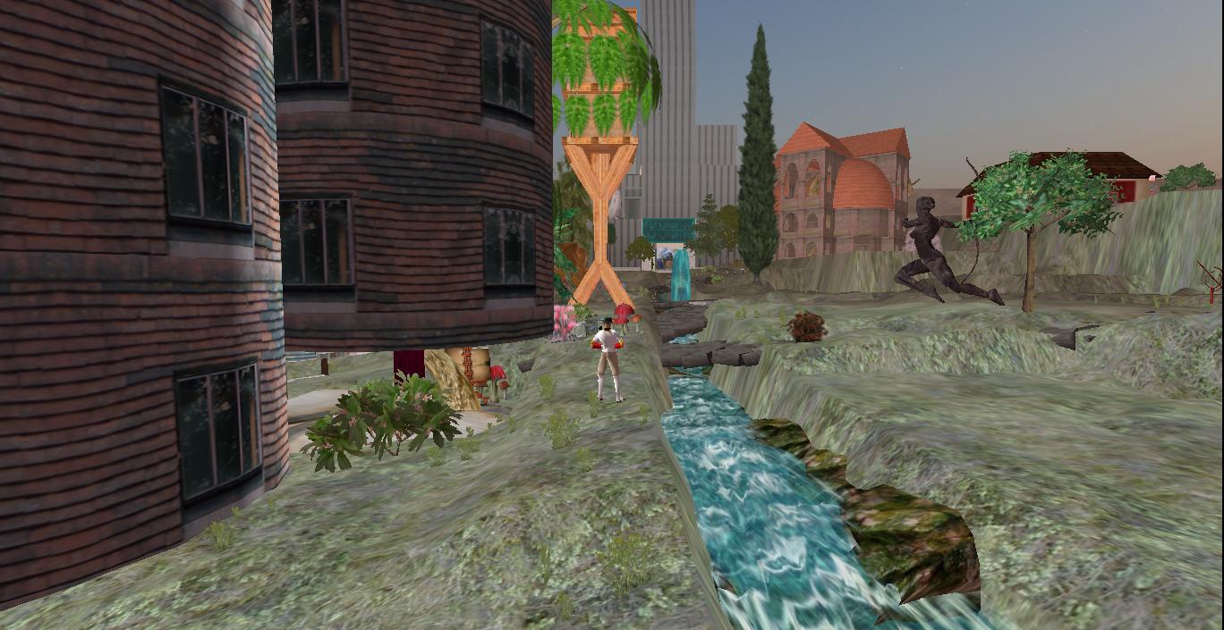
Herman’s mansion approach-eth.
IMG_0002smaller

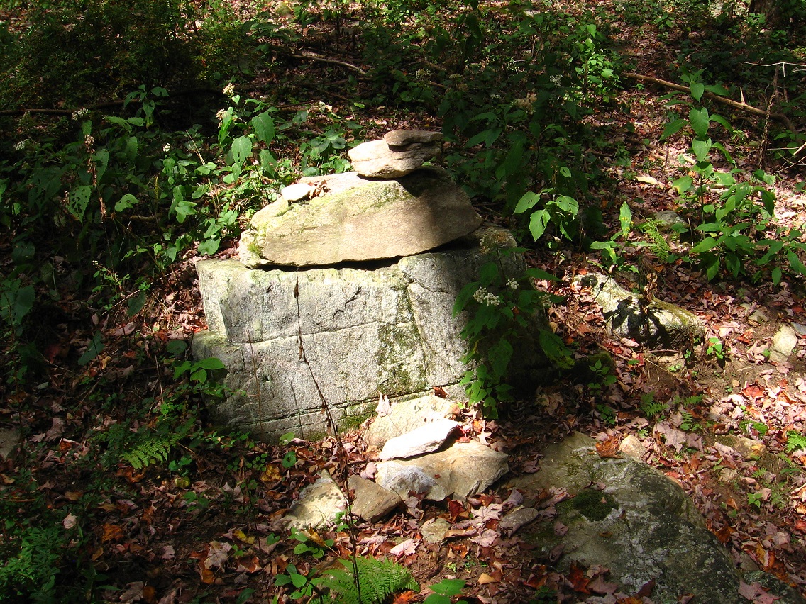
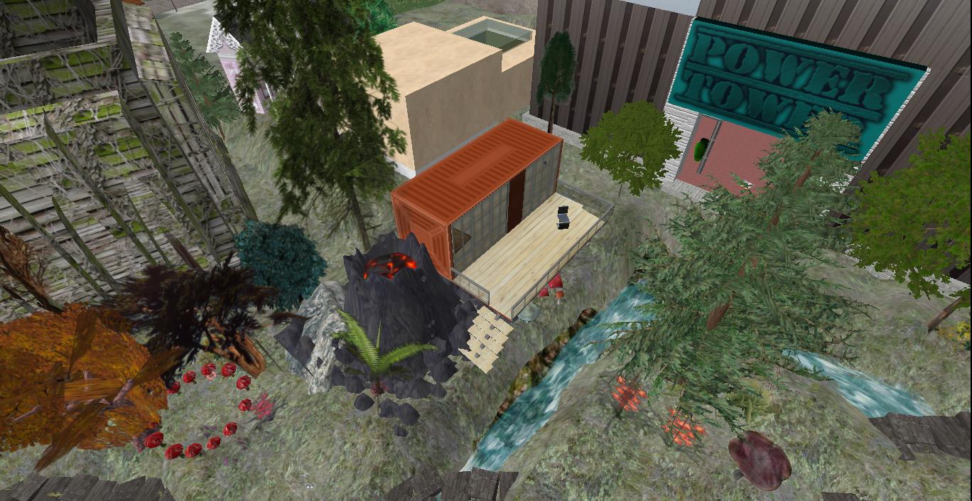
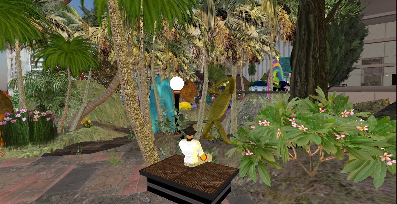
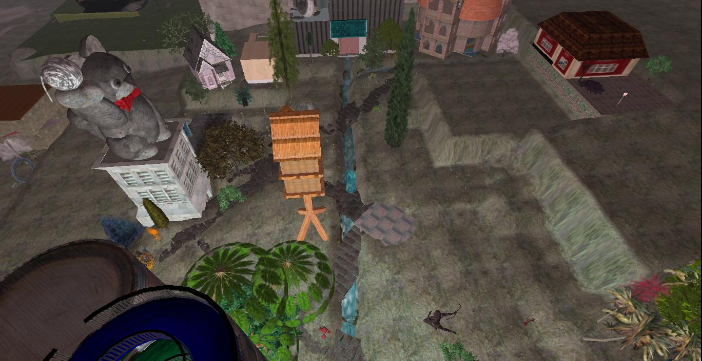
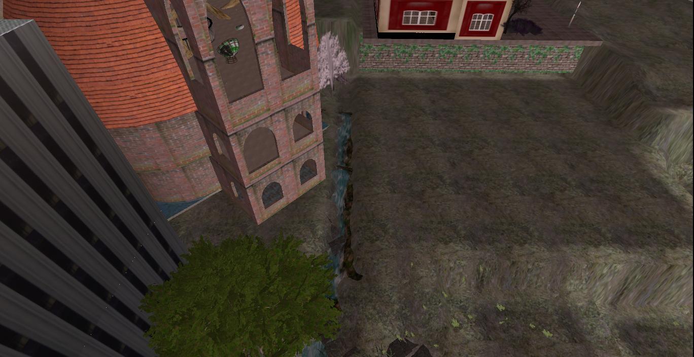
This day I also ended up visiting Billfork about a mile from the mansion as the fly crows once more. Below is Billfork’s “Beehive”, now split in 2.

IMG_0032smallest

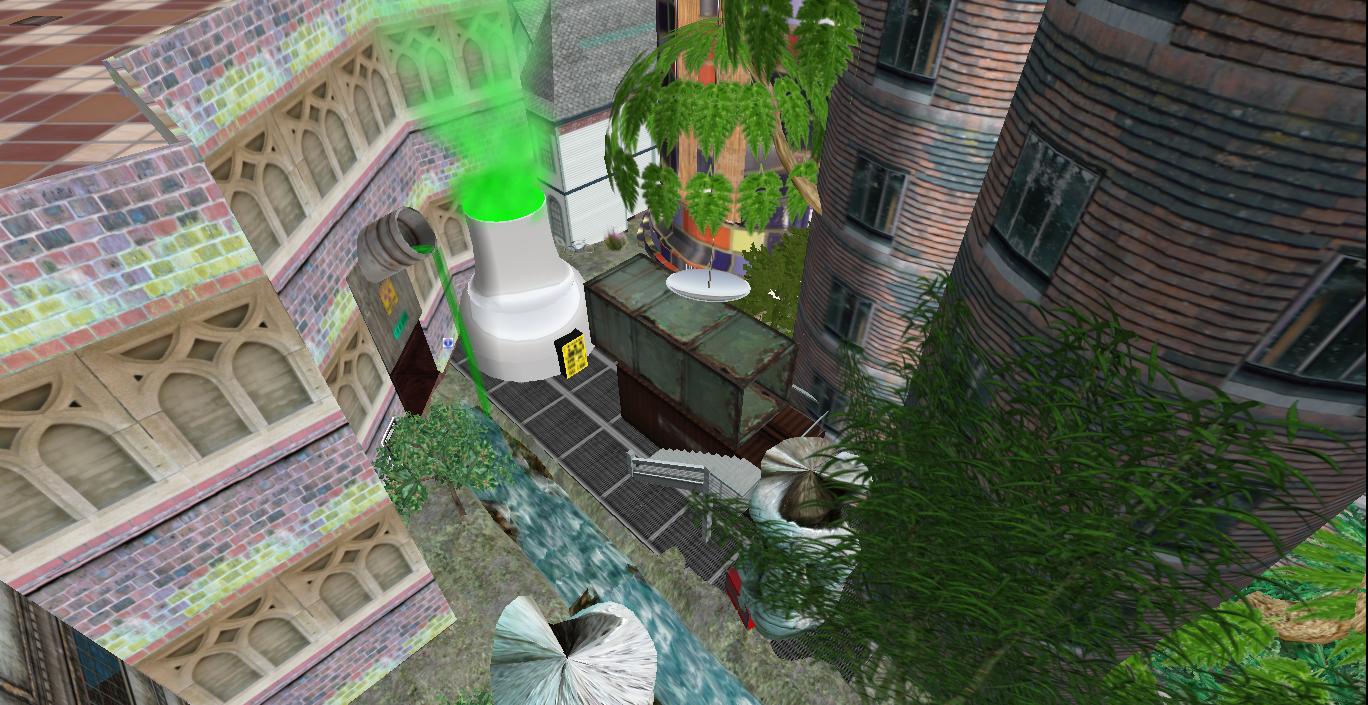
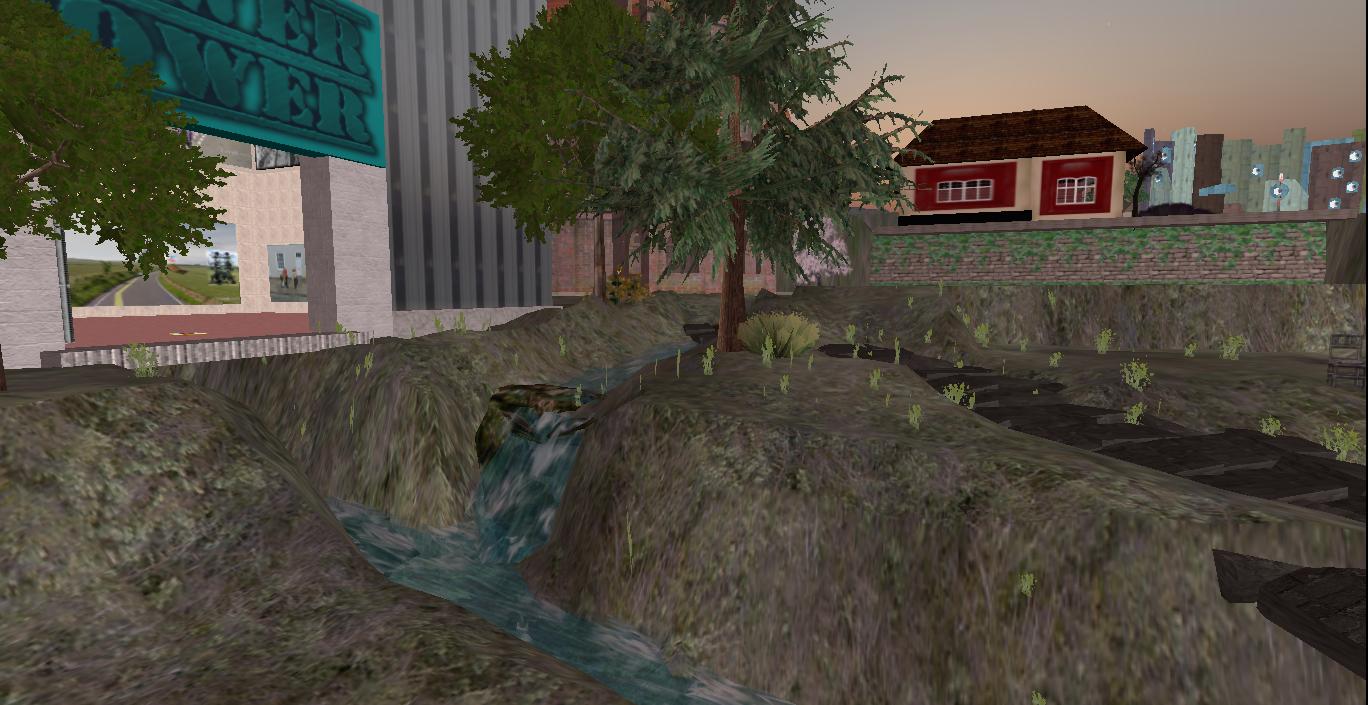
Billfork. Compare with here.

IMG_0035smaller

Rock art on a Herman Park sign containing a warning about lead and other poisons in the soil. Keep lead poisoning in mind when reading posts just above.

IMG_0037smallest

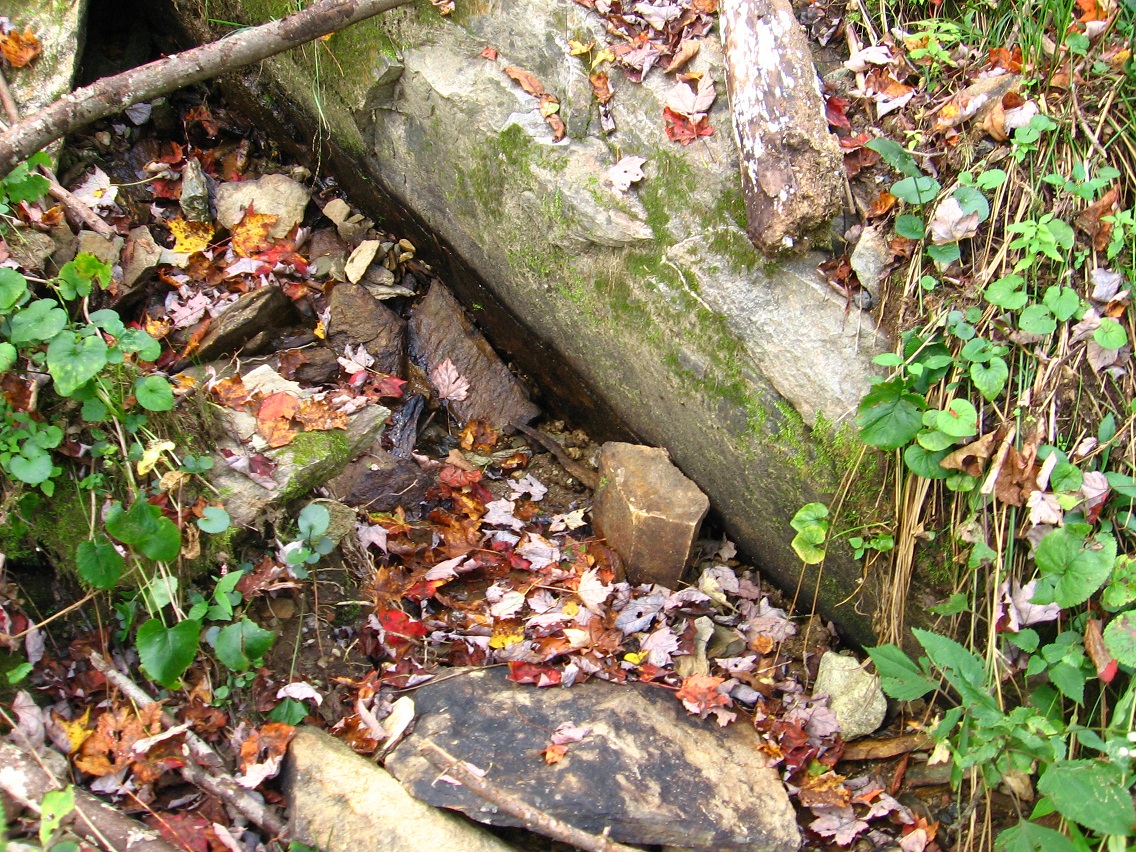
A white quartz topped rock that got my attention while hiking a small stream to the east of Heart Lake. I believe this to be a placed sign as well, although of a psychic or non-terrestrial or at least non-human kind.

IMG_0039smallerb

The rock (bottom of below photo) rests gently upon a curved limb several yards long. The rock is not rooted firmly in the ground here, meaning that the limb might have come first and then the rock slid against it, illogically enough. On the limb near the rock are interesting “symbols”. The one that struck me first is a “4” atop a part of the limb closest to the rock. I also thought this “4” might stand for the astrological symbol of the planet Jupiter. You can see this clearly in the below overhead photo, just above the rock.

Is the rock suppose to represent the planet Jupiter itself? Note that the white rock could be said to have a high albedo, just like this planet as it appears in our skies. Jupiter has the second highest albedo among the Sun’s planets, with only Venus reflecting more sunlight.

rock02

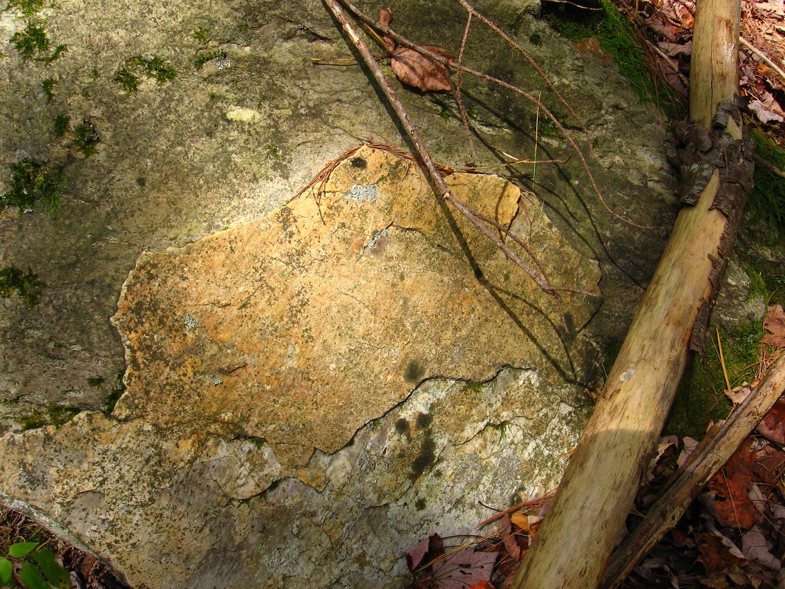
Near this is what could be an artistic rendering of some kind of face. Is it a Jupiton??

IMG_0043smaller

Facing the opposite way from the bigger 4 on the limb is a smaller 4 and then what appears to be a dash and the number “20”, seeming to create the glyph “4-20”. Is this the date April 20th? Does it have something to do with the number 20 and the planet Jupiter instead?

Check out this exact conjunction of events in the April 20th wikipedia article (most surface aspect of oddity highlighted):

1939 – Adolf Hitler’s 50th birthday is celebrated as a national holiday in Nazi Germany.
1939 – Billie Holiday records the first Civil Rights song “Strange Fruit”.

Those events, attached to opposite poles of human and civil rights as it were, occurred on the same day.

IMG_0044smaller

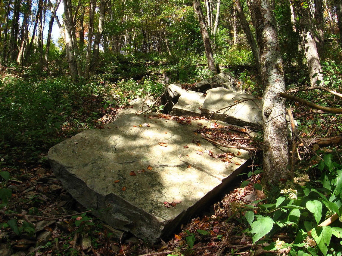
Rock and limb. The rock is so white that it’s difficult to not take a washed out picture of it beyond a certain distance.

IMG_0050smallest

jupiterintelescope01
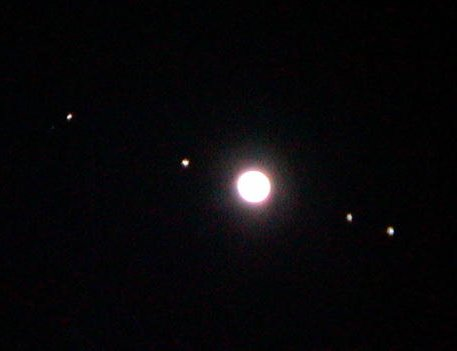
Jupiter (and *4* major moons) in telescope.*

This is the glade the white rock and limb are found in. I do not yet have a name for the stream that flows through this area. We’re about maybe a football field’s length away from Heart Lake here — quite close.

IMG_0052smaller

As I’m writing and pondering the text for this post, I believe I may have come up with a kind of surface interpretation of all this. The rock *is* Jupiter, as it appears in *Galileo’s* telescope, where he first learned of its *4* moons. So the symbol “4” on the limb next to the rock can stand for both Jupiter (astrological symbol in the shape of a “4”) as a white circle/planet, as well as its 4 moons. It follows that the limb itself, although curved, is suppose to represent the telescope Galileo first saw Jupiter’s moons (as well as Saturn’s rings, sunspots, and the crescent of Venus). The “4” is on the limb, meaning Galileo saw these things *in* his telescope. Straighten out the easy curvature of this pine tree limb and it could take on the appearance of the scientist’s telescope from afar.

94656
1 of Galileo’s telescopes (notice the bend).

What of the “4-20”? Galileo’s telescope he used to first spy Jupiter’s moons was said to have a power of 30, so that doesn’t quite fit. Could refer to the famous “4 score and 7 years ago…” speech by Lincoln, since 20 is a score of years. This might go along with the holiday/Holiday double reference of April 20th concerning civil rights. I’ll thus leave that second, smaller “4” and accompanying 20 alone for now, and deal with something else that was pointed out to me through the quote at the bottom of this particular post. In the time Galileo saw all these things in his telescope, Earth was considered the *heart* of the Universe, which all else revolved around. Galileo’s finds helped (according to that article I quote) the furthering of a sun-centered Universe instead, an idea Galileo was famous for championing, and a public belief that eventually led to an arrest that restricted him to his house for the last portion of his life.

Does Heart Lake, then, represent The Sun that Galileo rightly believed usurps The Earth as the center or heart of our local system? Stuff of further thinking for sure.

—–

Yet another really cool, white-ish Sharieland rock, this one to the north of Heart Lake and just below Heart Line at about its center. Does it possibly represent Jupiter *again*??

IMG_0056smaller

IMG_0061smaller

Circle on a nearby rock also reminding me of a planet.

IMG_0066smaller

Another nearby rock with the shape of a 5 sided prism.

IMG_0083smaller

The surface of yet another nifty rock in the area. More on all this soon.

IMG_0073smaller

—–

* More from the same page as this picture:

http://astronomyonline.org/solarsystem/galileanmoons.asp

From any telescope on Earth, a view of Jupiter and its four main moons are possible. Galileo Galilei, an Italian Astronomer, discovered the four moons of Jupiter in 1609 (along with the phases of Venus) using a new invention called a telescope.

More information can be found on the Galilean Moon Fact Sheet.

The discovery of the phases of Venus and the orbits of the four moons of Jupiter helped to add evidence of the Sun-centered Universe (heliocentric). For the longest time, scientists believed the Earth was at the heart of the Universe. We now know that we reside on the edge of an “average” spiral galaxy among a population of several galaxies that are members of the Universe – there is no center.

As seen from a small telescope on Earth, you may see Jupiter and its four main moons like this:

The four main moons of Jupiter are:

Io
Europa
Ganymede
Callisto

The image above shows, from left to right: Callisto, Ganymede, Europa, and Io. These sizes are accurate to each other. The orbits of the moons are seen below, and all four moons keep one face towards Jupiter – called Tidal Locking (like our Moon is tidal locked to the Earth).

Each of these satellites are different from each other. An example is the interiors:

The interior of Io (upper left) indicates a larger rock core, a mantle and crust. Europa(upper right) demonstrates an icy curst, a liquid ocean, a mantle and a smaller rocky core – possible metallic. Ganymede (lower left) is actually similar to Europa and may also possess a metallic core. Callisto (lower right) may have a core, but very small – the interior is thought to be water mixed with rock.

More details on each moon have been left to their own sections, but much of our knowledge is limited and will require further data analysis and collection.

1 Comment

Filed under Billfork, Herman Park, Sharieland, Tile Creek

Sharieland 01

We now come to what appears to be a fall hiking focus: Sharieland, an area of Herman Park tagged with that label mid-May of this year. Basically speaking, this area consists of the immediate environs of Herman’s Mansion and then the whole valley extending below it to the southwest all the way to Head Lake, a distance of a bit less than 1 mile as the fly crows. All the peaks and ridges immediately rising up from this valley on its sides are also considered part of Sharieland. An initial map of the area where each part is identified with a particular planet, per a palmistry association implied by its central Heart Line or Heart Path, is found at the end of this follow-up May post. This map will most likely be updated and re-created in considerably more detail before October is over.

The meadow pictured below is the site of a newly discovered and very important path, which, after studying palmistry related images online, I’ve decided to call the *true* Heart Line, at the same time transforming the old Heart Line into Head Line. I think.

—–

There’s no doubt in my mind that Sharieland is directly connected to palmistry and its various lines and mounds, but I think the association can be flexed to make, for example, different lines attach to different Herman Park paths. After studying the matter for about 1/2 an hour presently, I’m going to call the new path the *Head* Path and keep the Heart Path as is (as I designated it this past May). The actual *shape* and *relationship* between Head Path and Heart Path more resembles that between *Heart* and *Life* lines of palmistry, as I’m examining the various pictures of hands and lines found in a Google image search on the subject. But keep in mind… well, let’s just leave it at that for now to continue moving the text forward. I’ll have more to say about all that soon enough in future posts here. NOTE: Head, Heart and Life are generally regarded as the 3 major hand lines of palmistry.

So the eastern edge of the meadow below represents the beginning of *Head* Path, which extends itself about a third to a fourth of a mile directly downhill from Herman’s Mansion, and runs in a general northeast direction from this meadow. Despite being situated on a steep slope, the path itself is basically level throughout its course, apparently following the line of an old road. The mansion would lie directly uphill from about its center.

IMG_0005smaller

This is a view down from a point on Head Path to Heart Path below, at about this central point of the former. In the middle of the picture one can make out the very interesting arching branch that seems to act as a gateway to the meadow beyond. I believe this particular effect to be fairy induced.

IMG_0010smaller

Clash of red berry spotted bramble bush and fern. I think this particular thorn is a barberry variety, perhaps Japanese Barberry. If so, it seems to also be considered an invasive plant, avoided by deer and prone to ticks. Pretty, though. There are a considerable number of these bushes around Head Path, but not so much as to impede progress along it in any way.

IMG_0013smaller

Briar choked end of a trail splitting off from Head Path nearer its western terminus. I had a desire today to get to that rock pictured here but it was hard going, not only because of the briars but I also ran into a bit of poison ivy along the way. I made it, however (probably shouldn’t have tried?).

IMG_0022smaller

A rockier section of Head Path, in moving toward the center now. Again, this is not any officially recognized Herman Park path, but a traceable trail nonetheless, probably used by both deer and cows on occasion.

IMG_0030smallest

There are obvious signs of human activity from the past near the trail, like the remains of a rock wall here. But no humans besides me hang around here any more in all likelihood. It’s just Baker, cows, deer and other wildlife. 🙂 I will say that you can frequently hear the voices and sounds of walkers from a nearby, fairly heavily used path, however — just uphill.

IMG_0033smallest

A more impressive tree/bush that sprouts near the center of Head Path. I’m not sure what type it is yet, but the plant appears to be identical to the one found in Yellow Down (last photo from this September post). In my opinion the plant actually defines the center as much as any other object.

IMG_0035smaller

I thought I’d include this photo in the blog because of a somewhat interesting illusion caused by a yellow and green plant directly in front of one of the central trees, giving the appearance of a skeleton outfit almost.

IMG_0036smaller

Skeleton-Halloween-Costume-For-kids

Another shot of the fairy arch…

IMG_0046smaller

… and nearby fairy rock stacking. There is obviously considerable psychic energy in the area.

IMG_0054smaller

Larger, squarish rock of what I’m now perhaps calling Vale of Null or some approximation thereof.

IMG_0057smaller

Amazing moss and lichen microcosm found in another valley leading to Heart Lake further down the hill. But the picture didn’t turn out too well. I’ll try again soon.

IMG_0058smaller

Nearby pile of rocks with a piece of plastic underneath the topmost one. Trying to take yet another cue from The Woods, I then wrapped this rock up in the plastic underneath it (perfectly covering it) and took it home for further examination. The wife said it gave the appearance of a piece of bread, or a scone-like pastry. Scone Rock is the name, then, since scones are often wrapped in plastic when bought.

IMG_0061smaller

On the same day of hiking, I visited Methril in Frank Park and found this end of a projecting log, which looks like a barking or snarling dog, just before hearing a group of wolves or coyotes eerily howling in unison nearby. I high tailed it out of there before dusk proceeded any further!

IMG_0064smallest

Leave a comment

Filed under Frank Park, Herman Park, Sharieland, Thrill

Wealthy Mtn. 01

Defender of The Depression (actually it’s an extremely rusty oil can).

IMG_0001smaller

Stones of Bedrock’s stream crossing.

IMG_0004smaller

Two identical guardian bushes of Bedrock, one light and one dark, like the pillars of Boaz and Jachin.

IMG_0009smaller

Platform area above Bedrock, once more.

IMG_0011smaller

Leafless tree across the goldenrod filled meadow from here.

IMG_0015smaller

Rusted out barrel in the meadow just above the center of Dark Space/Brownie.

IMG_0018smaller

Some scenes from the old Michael Too campground situated upon a ridge on the other side of the mountain, also visited on this same hike.

IMG_0040smaller

IMG_0041smaller

IMG_0042smaller

IMG_0043smaller

I’m counting 9 rocks now on Michael’s rock table, with Hucka Doobie’s impressive yellow quartz formation [LINK] still missing. Where did it go??

IMG_0045smaller

IMG_0050smaller

The central, dark object is just a piece of projecting bark, but doesn’t it look like some kind of unlit, foreboding spirit from this angle?

IMG_0060smaller

Rock below Michael Too giving the appearance of a log; in fact, I thought it was a log upon first glace. Log Rock it is, then. Might be connected with VWX Town’s Big Log pictured in the blog post below this. Big Log = BLog?

IMG_0062smaller

Leave a comment

Filed under Green Oz Creek, Herman Park, Wealthy Mountain

VWX Town: Other Considerations, 02

TEXT SOON.

Snapshot1273_004

Snapshot1273_005

Snapshot1273_007

Snapshot1273_011

Snapshot1273_012

Snapshot1273_013

Snapshot1273_014

Leave a comment

Filed under **VIRTUAL SL, Heterocera

VWX Town: Other Considerations, 01

As of Monday, Oct. 7th I believe the newest version of VWX Town is basically complete. And… I’m ready to get rid of it now. Tier payment is due by about 3 o’clock am tomorrow, and I think I’ve had a really good run with the town but it needs to end. Not 100% sure of this but pretty sure still (70%?). Text generation for this post will go a long way towards a final decision. So let’s forge forward…

To start, I thought I’d show the odd 3 way water conjunction again seen in the “VWX Town: Growing Back After Being Pruned” just below…

Snapshot1273_001

… and then a shot of Lucky’s Magic Little World almost directly above it. Notice the arch of the tire within the waterfall matches the shape of the rainbow. In this photo they almost seem to act as a double rainbow of sorts, one light and the second dark or shadowy — or almost as if the village’s rainbow is casting an impossible shadow. One interpretation: both Lucky’s village and the waterfall are *microcosms* unto themselves, directly relatable through these 2 objects. The number of prims of each is even similar: 18 for the Lucky world, and 24 for the waterfall.

Now notice a second thing about this photo: the red doors of the building in the background, owned by my neighbor Veyoll Resident, seem to match the rectangular shape and size of the waterfall’s blue top or beginnings from this angle. So when the arches (rainbow and tire) are coordinated in size, this secondary effect also pops up. I find this also interesting because the top of the waterfall is about the only object on my land that projects into adjacent land I don’t own, an abandoned plot separating my holdings from Veyoll’s. I’m going to put forth an even odder theory about this: I think this has to do with the interaction of Veyoll and myself through the vehicle of VWX Town, which is about to terminate apparently. The blue top of the waterfall, although close to Veyoll’s land, faces away from her building still, and the waterfall itself tumbles opposite the direction of the house and toward the triple conjunction of water mentioned before. This is symbolic of the interaction, as the building is extended into the central area of the town (or the start of the central area) through the waterfall. Because the colors red and blue are involved in this interaction, as well as red doors in particular, I also think back to the twinned collages of the Gila series in the Power Tower Gowlery of VWX Town Southside: Gila 06, but esp. Gila 10 and its similar 2 red doors). I may have more to say about all that soon.

Snapshot1273_018

Well, if Lucky’s Magic Little World and the Waterfall-with-Tire (“Tired Falls”, actually, as I’ve called it before) are similar microcosms, then the town hall adjacent to both is probably a kind of microcosm as well. Its function, as the case with any good town hall (and faithfully carried out by Mr. Bean double Ben Thar throughout its many incarnations now), is to promote the town it represents. From its two windows one can look out on the waterfall (north view) and rainbow village (east view) both.

Let’s move to the next photo: this physical blue car *use* to be perched atop the town hall but then fell into the creek, perhaps when I rezzed Tired Falls even. If so (and if I’m remembering correctly), the falls caused the fall — interesting, once more (!). In other words, I didn’t position the car at this place in the water flow, nose down as it were. And it’s really lodged in at this position. I now think this is directly related to the giant head with the pink curtain in front of it spoken about before, nose partially exposed. More on that in a minute as well.

But here, I just wanted to point out how the curvy paved path directly on the opposite side of Lucky’s rainbow village seems to mirror the arch of the latter’s outer track. More resonance between “microcosms”, then.

Snapshot1273_003

Snapshot7777_007
Sitting in the center of the “microcosm” containing the curvy paved road, the tire of Tired Falls is *just* eclipsed by the hill topped by Lucky’s Magic World.

Leave a comment

Filed under **VIRTUAL SL, Heterocera

VWX Town: Growing Back After Being Pruned.

Baker Bloch sits on the upper porch of the newly reinstated House of Truth (sans interior decoration yet), staring across Grassy Knoll toward the Temple of TILE. Great view, and great alignment! He has to do some pondering about keeping VWX Town around in October, past the 7th when my tier payment is due again.

Snapshot1270_002

Top of Grassy Knoll, with DK Art’s red “Aim High” sculpture freebie and some orange butterflies. Hard to see the butterflies from this angle because the Temple of TILE’s walls are orange-ish as well. Is this super grassy knoll connected with the super famous toy avatar Grassy Noll?

Snapshot1270_006

Baker looks north along the central stream of the property now. Central Stream is as good a name as any, then. As you can see, there’s a lot going on along its banks now.

Snapshot1271_002

Below we have a lady statue holding a bowl erupting with water. She existed in almost the same spot in “old” VWX Town, before the great renovation. But she didn’t have the water pouring all over her then. The water seems to originate from her head, and then empties into Central Stream below. Is she the source of *all* water in the stream? No, since some of it comes from the pipe on the Toxic Art Gallery, which we’ll get to in a moment. Central Stream seems to flow south from the this art gallery and north from the partnering Power Tower Gowlery — this is its range. The statue of the water goddess merely “adds” to the flow coming north from the Power Tower Gowlery, as does the more blue-purple waterfall seen directly behind her in the below photo.

Snapshot1271_005

In fact, as Baker Bloch is studying the matter now, all 3 flows (waterfall, water goddess, Central Stream from PTG) conjunct at the same spot. Queer — didn’t really plan it that way. The water from each flow is colored somewhat different.

Snapshot1273_001

Perched on a smaller knoll above the conjunction is another new addition to VWX Town: a miniature village called “Lucky’s Magic Little World” in the description, created by Lucky40Resident. The little car in the picture actually circles around the hamlet at a rate of about once every 25 seconds. Inside its track are positioned 7 cottages, each a different color of the rainbow. Not coincidentally, a rainbow arches across the town’s center, complete with smiling sun, even. Lucky’s village is a true microcosm.

Snapshot1271_006

Baker now sits near the center of the town. Goldie has been reborn here, just across the waterfall from Lucky’s Village. But he has severly shrunk in the transition, now appearing not much larger than Baker. Or about the same size as the water goddess statue just to his side. As the case with that statue, Goldie appears not far from where he was last seen in old VWX Town, atop the Hole in the Wall bar…

Snapshot1271_013

… which has also returned to the reinvented town, seen behind Baker through the palms as we simply reverse camera angle away from Goldie.

Snapshot1271_015

Another new object: a dock walk crossing Central Stream just in front of the Hole in the Wall.

Snapshot1271_016

House of Truth, with a pond in front of it now. This pond compliments nearby Grassy Knoll, since they lie on either side of the terraforming range (+4/-4) of my land. I built up for Grassy Knoll, and burrowed down for the pond. Greenup/Yellow Down archetype in action again? There’s even a bunch of yellow fishies swimming around the pond to reinforce this theory.

Snapshot1271_018

Another new object: a giant head, not pink as this angle might imply on a glance, but simply seen through a pink curtain, with nose projecting through a bit. Connected to Noser Mill in Franklin County, Missouri then? Probably not, but no harm asking in this here blog. *But*, if so, then can Central Stream be connected to muddy Bourbeuse River similarly slicing across the length of Franklin County? A contrast might have been made between that very crooked real life river and straight-as-lace Central Stream. Noser Mill is mentioned in the wikipedia article on the subject as a particularly curvy stretch of the river, even.

Snapshot1271_020

Behind the unnamed head (Noser?) are Biker Jones and Ranger Johns discussing the location of VWX Town’s galleries, once more.

Snapshot1271_022

A giant spoon leans against Hole in the Wall now.

Snapshot1271_023

“Noser” in profile view, with the masking magenta curtain seen edge on.

Snapshot1271_025

Inside Hole in the Wall. Great view!

Snapshot1271_026

1 Comment

Filed under **VIRTUAL SL, Heterocera

Bedrock Mystery

Bedrock

bedrock crackhttp://minecraft.gamepedia.com/Bedrock

http://bedrockorbust.blogspot.com/2010_09_01_archive.html

Pictured to the left is a spot that kept my interest high. This bedrock crack payed me 55 chunky pieces of gold in one pan within the area circled. That’s only about a foot in length. I chased the crack further toward mid-stream but it didn’t pay as well as it did within the circled area.

Bedrock_skyline_season1

Leave a comment

Filed under Green Oz Creek, Herman Park, MAPS, Tennessee, Wealthy Mountain

Repetition

the_shining0696-640x360

Been reading this most excellent and fascinating site about Kubrick’s The Shining. Recommended for anyone interested in the director.

http://www.collativelearning.com/the%20shining.html

Also watched most of the “Room 237” documentary yesterday and came away much less impressed. I don’t think it will be used in a, ahem, carrcass.

http://en.wikipedia.org/wiki/Room_237

Next up might be this:

http://www.jeffreyscottbernstein.com/kubrick/theshining.html

Or this…

http://jonnys53.blogspot.com/2007/06/what-you-may-or-may-not-have-seen.html

As for The Shining movie itself: definitely in a carrcass. 🙂

Bakerswork (var: Crow), Tennessee.
Dull, Tennessee.
MAP SOON.

2 Comments

October 1, 2013 · 5:04 pm

Should…

… be able to get out in the woods a bit today, unlike Sunday and Monday. Ailing mother needs have set me back in that department. Biological clock still readjusting.

In the meantime, here’s some pictures from VWX Town. Yeah, I decided that VWX Central, the meat of the town, should be completely redesigned if the town is to survive in any way. Almost all of its buildings have thus been deleted, and a long stream has been created connecting Southside’s Power Tower Gowlery and Northside’s Toxic Art Gallery, cutting across almost the entire length of my land.

I have only several days to decide the fate of VWX Town, as another Linden tier payment is due the 7th. Ponder ponder. Again: I will not be able to create such towns in the future, most likely. It’s really trying to survive; I can tell.

Westside, Northside, and Southside remain basically intact. Is another town meeting forthcoming?

Snapshot1260_003

Snapshot1260_004

Snapshot1260_005

Snapshot1260_006

Snapshot1260_007

Snapshot1260_008

Snapshot1260_009

Snapshot1260_010

Leave a comment

Filed under **VIRTUAL SL, Heterocera