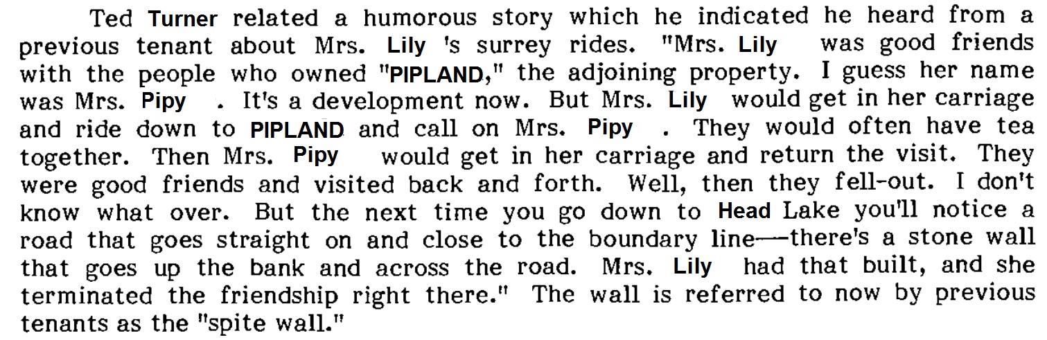
I stumbled upon what I believe to be part of the “Spite Wall” this day, separating Herman Park from lands to the south. I’ll have to look up the story about this wall soon. I also lost my sunglasses there, but found them upon a return the next day. Lucky me!*

Jupiter Rock on Gene Fade’s Mountain, where he was born and grew up. Yes, Gene is a true, dyed in the blue Jupiton, and he never forgot his roots while at the same time going beyond them.
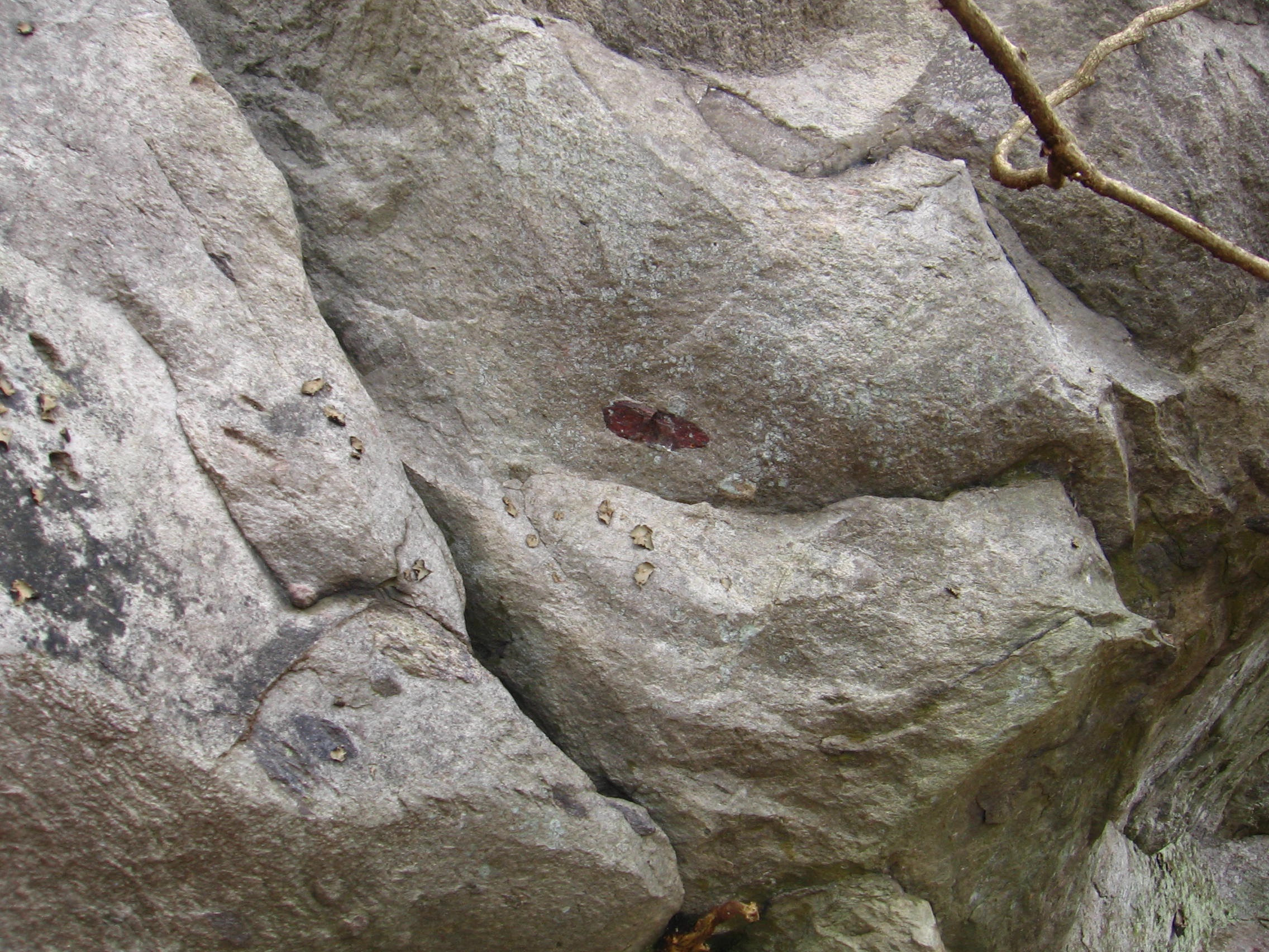
A shot of Jupiter Rock’s Red Spot, and the place Hucka D. states was the small “downtown” area just beyond.
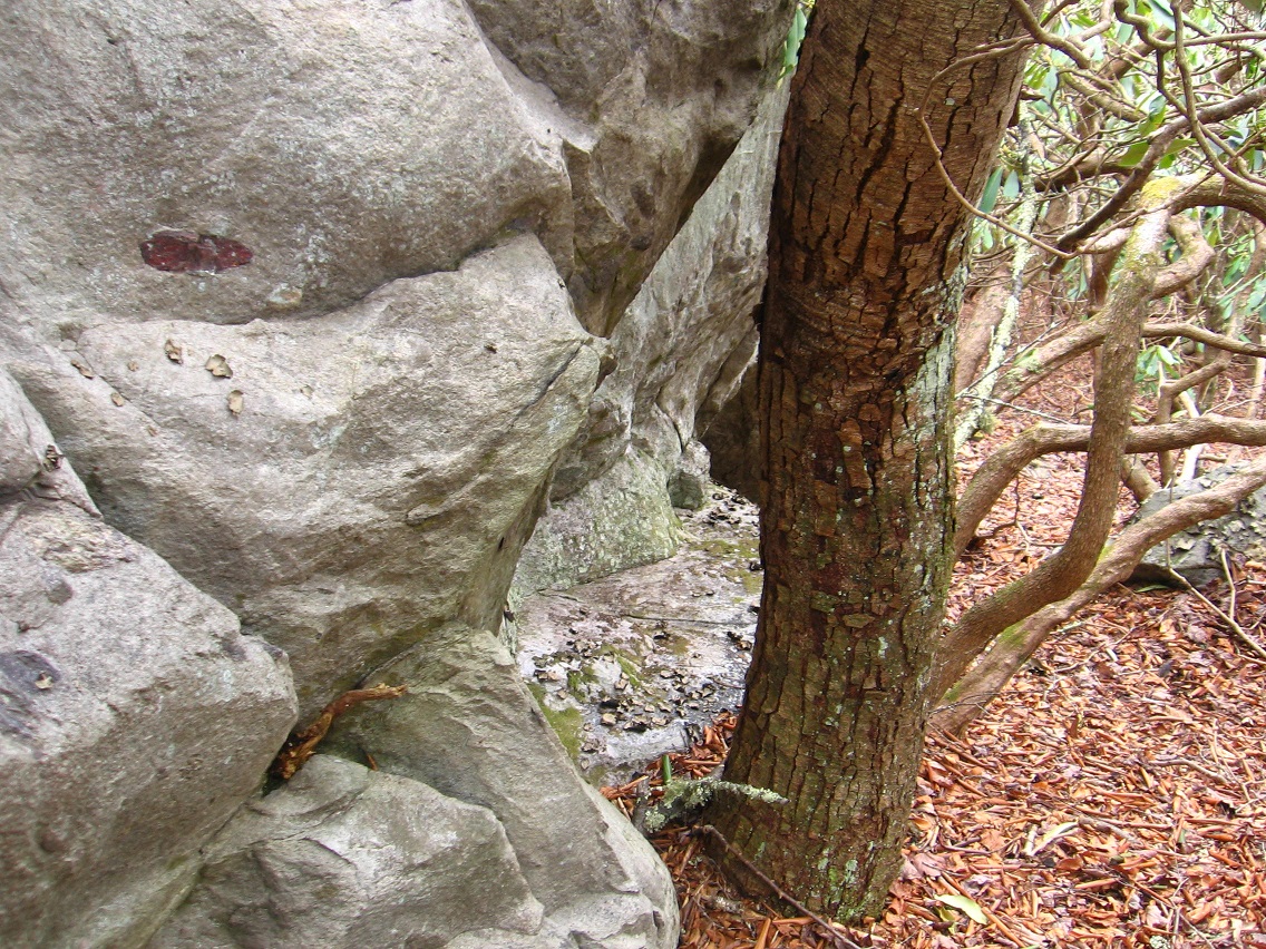
We move back to Herman Park now and Ditchlandia. Only a few of my photos turned out to be blog-worthy of this place on this particular shooting spree, and here we have one of ’em: a pecked tree on the eastern lip of the ditch in question. I would assume this ditch to be an old road of some kind. But if so it’s now bisected by TILE Creek. Was the creek channeled here later on? A distinct possibility given that Drink Lake may have been created after the road.

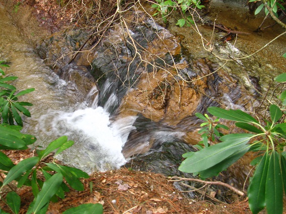
Interesting drop of water on TILE Creek basically in line with the ditch/road laying on either side of it. Multi-colored earth here.
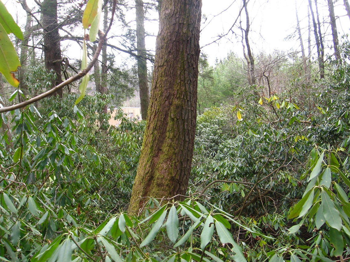
A couple of the numerous Ditchlandia hemlocks.

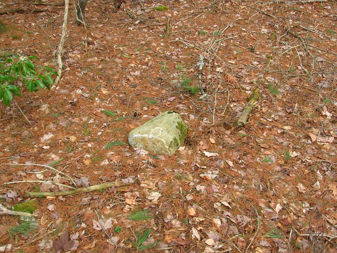
Prominent Ditchlandia rock on the eastern edge, toward Drink Lake and its dam.
Smashed up boat lying just at the bottom of the Drink Lake spillway.

I think it is the same boat found in this verse:
https://bakerbloch.wordpress.com/2014/11/18/stuff-more-maps-02-2/
Then he said that she was a wind, a strong terrible wind, coming out of the darkness of a stormy sea and that he was a boat left on the shore of the sea by a fisherman.
—–
* Related passage: