Sometime in mid to late June, I found out I could safely cross Leola Creek on dry rocks at a place tentatively called “Port Leola” (Porter?), which is within the safe zone mentioned or defined in an earlier post. LINK

Below is pictured a new spot on the same creek, about a 100 feet or so upstream from the safe zone/Port Leola. Unnamed as yet, it’s an amazing cluster of higher rocks with its own internal topography, including peaks, pools, islands, waterfalls, and gorges.

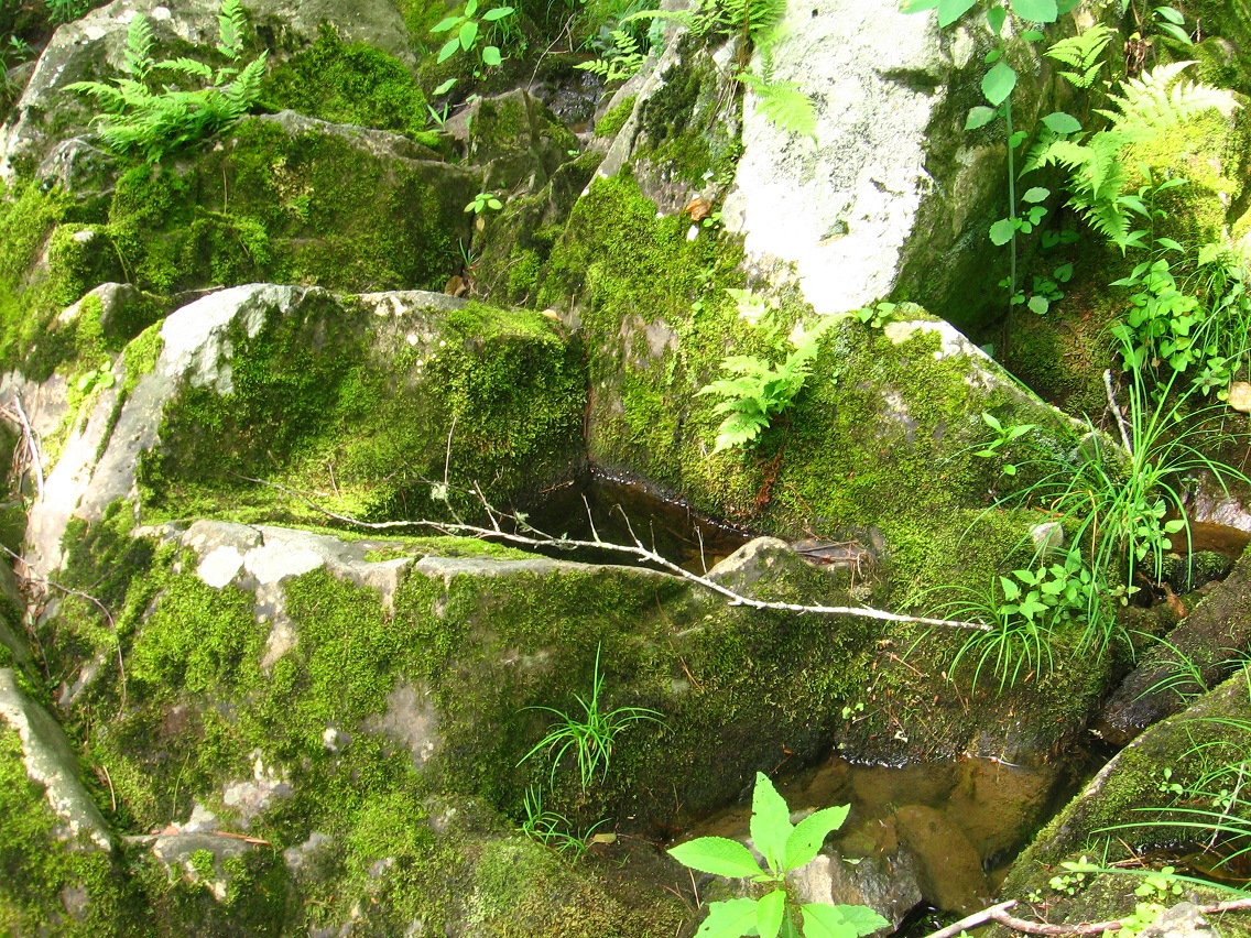
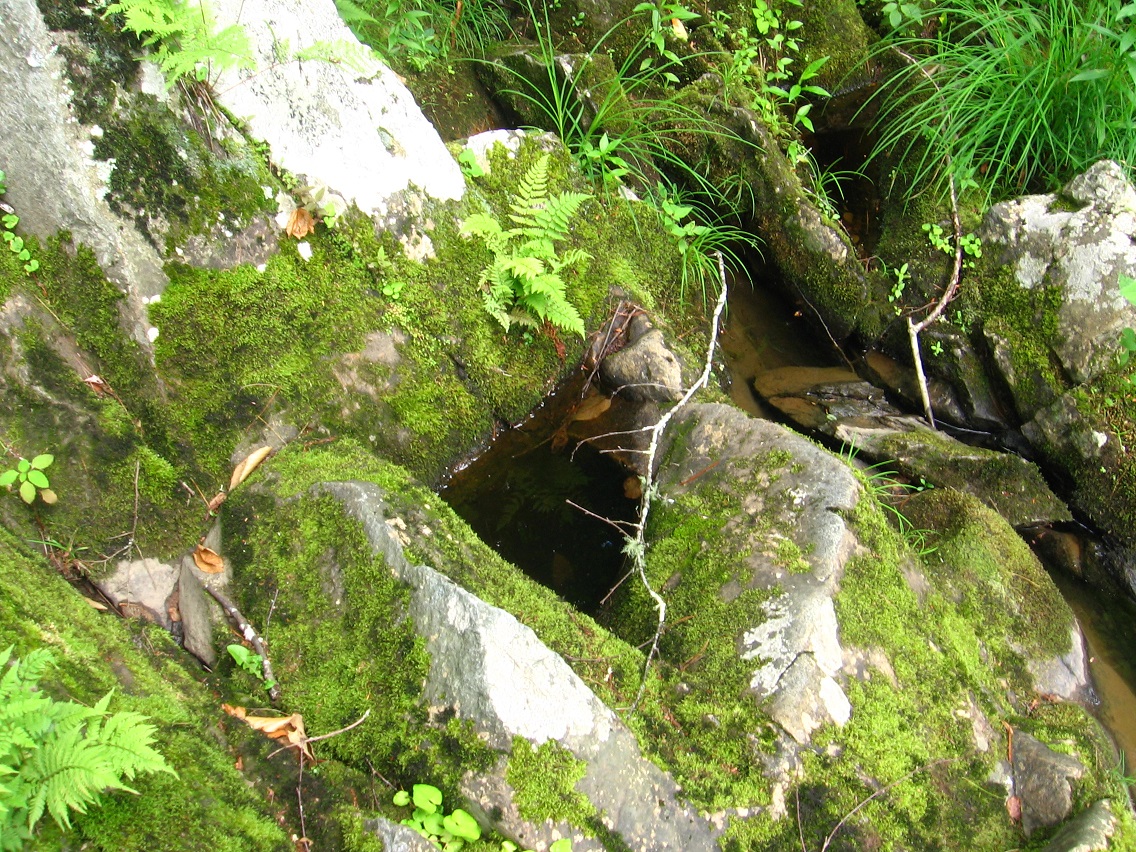
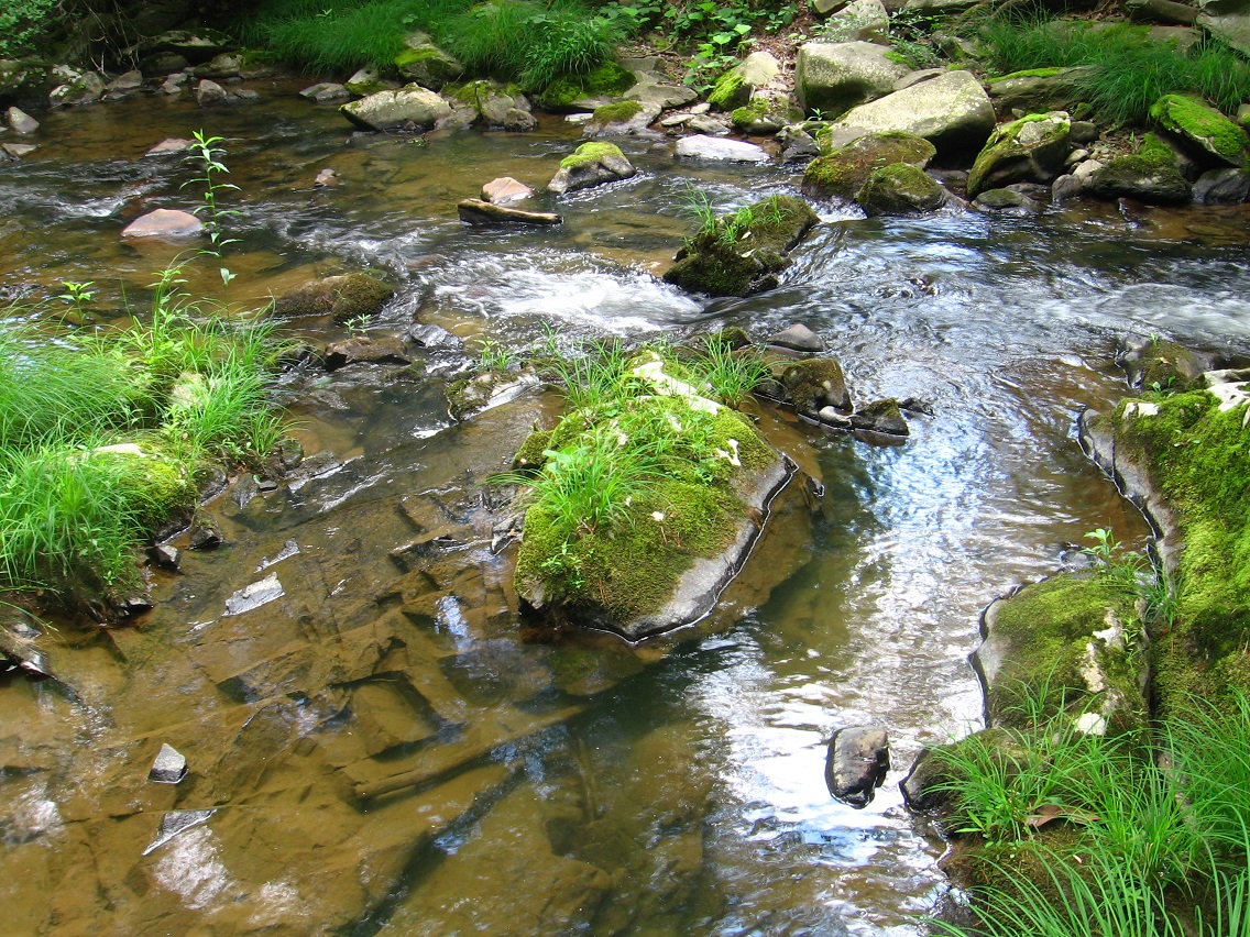

The meat of the rock cluster, with a small falls toward the bottom.

Graffiti at a nearby bridge over Leola Creek. This is Leola Creek Road.

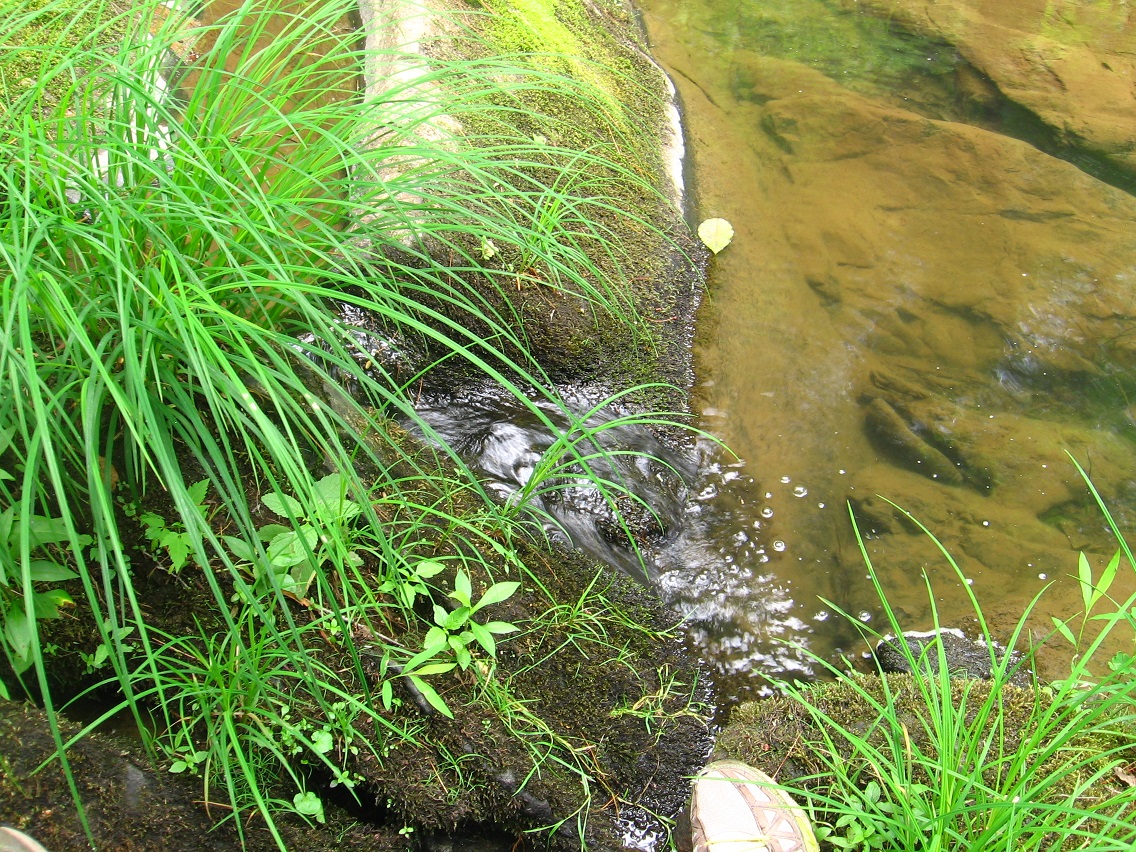
Underneath the bridge.

It was only a short walk up Leola Creek Road to Hand Lake. The Finger is still present on the large island of the lake.
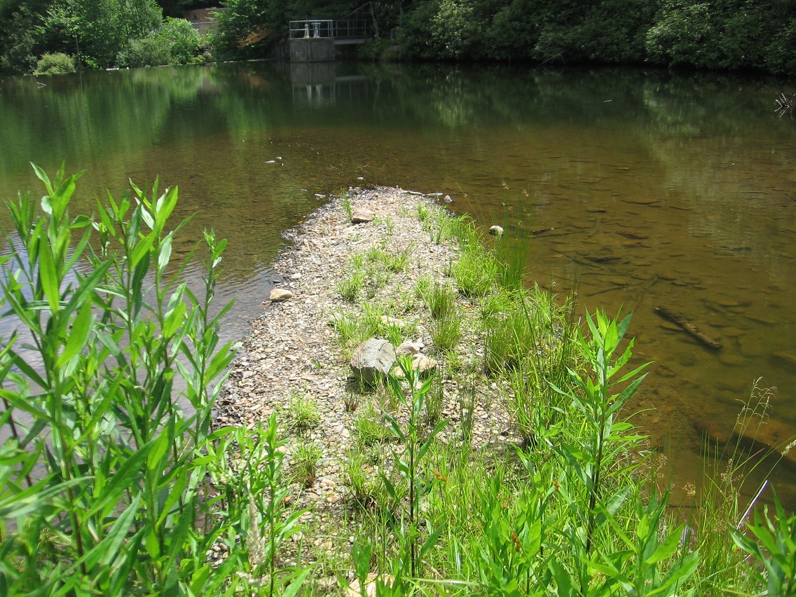
Looks like someone has moved in some larger rocks for unknown reasons.

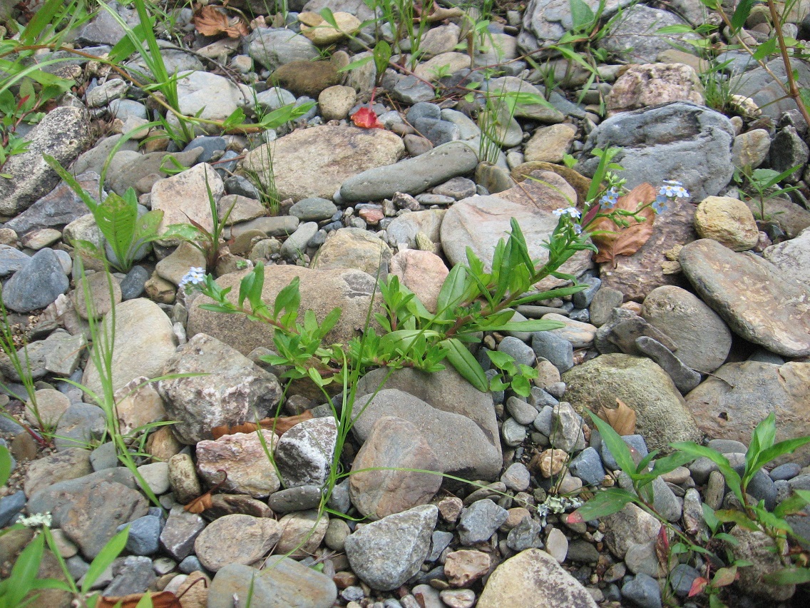
Small blue flower on the island, possibly a variety of bluet.
I end this post with a couple of pictures snapped at the Plateau of Raw Art, once more.