Category Archives: Frank Park

Korean Channel

koreanchannel01

“Korean Channel is perhaps the original audiovisual tiling, Hucka D. Zebra and Damsel Island are clues — black and white. Head trip.”

Hucka D.:

Yes.

bb:

Obviously a gold plated football helmet that is also an army helmet, like the one used to name Monkey City when I was a boy. Land of Reds and Yellows must play a role as well. Perhaps everyone is bushed there all the time. This is a way beyond Billfork. This is the Korean Channel.

Hucka D.:

Yes. Where is the Land of Reds and Yellows? Would that be Whitehead Crossing?

bb:

Unsure Hucka D. Let’s see, the Land of Blue and Purple would be entered through that log bridge, but the actual significance of that bridge is that it points to The Totem in Silverberg on the other side of the channel. I think a battle between Silverberg and Purpleland took place in the past. Purpleland grouped around the smaller of the 2 Silverberg streams, and Silverberg proper around the larger of the two, perhaps centered by Silver Pool.

Hucka D.:

Yes.

bb:

(after a pause) Maybe Green Stream itself was originally known as the Silver Stream. Now this applies to Spoon Fork perhaps.

Hucka D.:

Maybe. Yes.

—–

1 Comment

April 16, 2013 · 2:07 pm

How deep…

… to be mired in Whitehead Crossing at this stage in my life? I can’t *move* there. I never will. I can meditate there. I have several medi-spots already assigned (head of This Stream has no Title and mouth of same, for instance — this is the one in front of Grey Rock). Head and foot again… Beginning of life… end. I’m going to be thinking of that darn…

Hucka D.:

Hellow. Dwelling again.

bb:

Not really. Not much. Just don’t want to write the text to my Land of Blue and Purple posts tonight. Listening to Satie. He’s a strange dude.

Hucka D.:

Mellow.

bb:

What’s the [Land of Blue and Purple] Totem, Hucka D.?

Hucka D.:

Alien language. Lined up with the Bridge Between Purple and Blue.

bb:

Yes that was odd. Pointing right to The Totem.

Hucka D.:

Protected by briars. Protected from man. Like you. But you see still. For you. For you to see still. It is Purple.

bb:

It is on… wait, I’m going to make a map.

Leave a comment

Filed under Blue and Purple Land, Frank Park, Whitehead Crossing

As it is.

Hucka D.:

Crim cram. Blippy.

bb:

Am I interrupting something, Hucka D.?

Hucka D.:

We’ve known for years. We’ve walked past it hundreds of times, maybe thousands.

bb:

Yes, I know. I must ask the obvious question up front.

Hucka D.:

Is it yours? Not really. Is it alien? Perhaps!

bb:

An alien child.

Hucka D.:

How long have the aliens been living in Frank Park? They have had access to that road a long time. The road the alien baby was created along. Perhaps.

bb:

Much more likely that it was a racial mix.

Hucka D.:

If you wish. If it comforts. But it doesn’t explain why the aliens are here *now*. Why they are attempting to communicate with you. You find this thing for a reason at this time. It is Heads and it is Foote. White County.

bb:

I’m thinking it’s more like this… can you see?

aurora-texas-alien-spaceship-crash-grave

Hucka D.:

Square little fellow and all. Is that what you think?

bb:

It’s not impossible. We know that aliens are around. Hybrids.

Hucka D.:

Yes.

Hucka D.:

You’re never going to know what’s in it. So you must treat it as an archetype. It is Heads and it is Foote. Coins. Seale (pause). Seal.

bb:

What of the Land of Blue and Purple?

Hucka D.:

Spin-off. Another hybrid. Rock again. Totem. Juxtapose. You’re not going to find the answers the conventional way.

bb:

Thank you.

Hucka D.:

You’re welcome. You must take it as it is.

Leave a comment

Filed under Blue and Purple Land, Frank Park, Whitehead Crossing

Land of Blue and Purple 03

Hemlock tree hiding The Totem from the direction of Bridge of B and P.

4/17/13:

I actually returned to the Land of Blue and Purple yesterday, the day after these pictures were taken, but didn’t snap any more shots. I have a new name for the area: Silverberg, which is connected to both the Korean Channel and Pork Chop Hill.* But I think Silverberg at least has closed up early for me. Saw a snake there yesterday that wasn’t the cute garter variety I’m use to seeing. Not a big snake, but perhaps a young blacksnake or water snake. I’ll leave it/them in peace at any rate until they slink back in their holes when cold weather returns. I’ll probably treat the whole, marshy Korean Channel in this manner, except for the very upper part, perhaps, where it connects with Whitehead Crossing.

But to the pictures:

IMG_0024smaller

Below we have another shot of The Totem of Silverberg, and perhaps its glinty metallic appearance lent itself to the name of this “burg”. Here The Totem is merged with a background tree, as in a real life collage.

IMG_0026smaller

There’s one significant pool of water in Silverberg, and this picture is taken from its side. I don’t as yet have a name for this pool, but The Silver Pool could be a candidate. Many frog eggs are currently in this body of water, nestled in a swirling abundance of algae. Perhaps the calm, reflective quality of this pool is the source of the name Silverberg instead?

IMG_0028smaller

There’s a flat region to the pool’s east that is also most likely a part of Silverberg, dotted with small pine trees like in the photo below. The central stumps seem significant: ruins of an avatar castle?

IMG_0030smaller

“Silver Pool” from the north. It’s actually part of one of 2 stream flows in Silverberg…

IMG_0032smaller

… this being the other one, just to its east. It’s a bit smaller. The 2 streams, again, conjunct at The Totem, which would be dead center in the below photo, but hard to detect because it is sihoutted against another, similarly colored tree.

IMG_0034smaller

—–

* Silverberg and Pork Chop Hill tie into Korea and Korean Channel through this:

http://firesigntheatre.com/media/media.php?item=dctd-rv

Appropriate quote (my emphases):

… Switching of channels. Another old flick, this one seemingly set in the Korean War. Pico and Alvarado have been out on patrol for a long time. Silverberg won’t go over Pork Chop Hill—killing pigs ain’t kosher, he says. Lt. Tirebiter tries to keep morale up. Something’s moving in Sector N. Quick, the password. “I’d better disguise my voice,” and, in a WWII propaganda-film Japanese voice: “You so smaht, who wunna Seconda Wulda Wah?” The correct answer, “Not responsible,” comes back. It’s them. They’re bushed—they’ve been shooting reds and yellows all day. But the gooks are around them on three sides. They’ve got women, children, animals, and tonight they’ll all be out in the paddies because it’s the planting moon. The lieutenant outlines the plan, finishing up with “Then we’ll lock and load and go out there and ki-, ki-, ki- . . .” “Hey, what’re we gonna do, lieutenant?” “We’re gonna go out there and ki-, ki-, ki- …” The voices mount in a crescendo, and we hear one voice yelling “Porgie, Porgie, Porgie!”/Commercial. Switching channels

This *is* the Korean channel (!) It’s also an audiovisual tile.

Leave a comment

Filed under Blue and Purple Land, Frank Park

The Land of Blue and Purple 02

(continued from The Land of Blue and Purple 01)

The following day I returned to the same area, first taking this shot between straight rows of pine trees in the Square Forest not far from Concreek (and below Thrill with its Ilthril, Methrill and Myselthril). Hucka D. has claimed that Square Forest is actually a super intelligent computer disguised as a forest — hence its unnatural “straightness”. Maybe a comparison can be made to a similarly square shaped computer chip, say.

IMG_0001smaller

Stacked breeze blocks on the east side of the Square Forest: Hucka D. again says these are not what they seem, and represent the nucleus of the computer, a sort of mini-computer in itself that use to exist on Damsel Island and acted as the controlling intelligence for Concreek. That Bee has some imagination! I’ll have to ask him how the core got up to Square Forest when I see him next. But I guess the Square Forest could have been “built” or manufactured around this relocated core. Now *I’m* starting to think like Hucka! Zebra could represent black and white, or the on and off state of a computer bit.

IMG_0002smallest

And then we have Damsel Island itself, where I once again crossed Green Stream after subsequently walked down the whole of Concreek from Jacob I. Road. I took this picture of a suspicious looking piece of wood which seems to act as one of those fairy bridges once more, allowing passage to Damsel Island from the “mainland”. Impractical for humans, see, due to its smallness. But just right for a fairy?

IMG_0004smaller

I might have decided to call the vast open area surrounding Green Stream as it passes through this region *Korea*, and the passage itself the Korean Channel. I’m obviously attempting to import more Second Life mythology into Frank and Herman Parks if this decision stands. Second Life has perhaps crawled into its death bed, with last rites not far behind. The top of this Korean Channel (again, if the name stands) would be at Whitehead Crossing. The bottom or lower part would also be the lower part of Green Stream itself, where it meets Spoon Fork. I’ll go into more detail about all this soon.

IMG_0006smaller

Rotting trees in the Korean Channel, not far upstream from Damsel Island.

IMG_0007smaller

The Bridge of Blue and Purple again, discovered the previous day.

IMG_0011smallest

But what I didn’t know the day before is that the most important aspect of this log might not to be as a functional bridge, although it serves that purpose as well (entrance to the Land of Blue and Purple), but a *pointer*, because in the opposite direction from LBP it points *directly* at the silvery hued, very mysterious Totem, standing tall in a briar choked peninsula at the meeting of two small stream flows on the opposite side of the Korean Channel from here.

IMG_0015smaller

Now I understand this is just “mere” remains of a dead birch tree, but it’s so unusually shaped that I think it *has* to mean something, especially given the alignment with this log (in turn, midway between the blue and purple soda cans). Does it somehow describe the history of this location and its “people” (assumably avatars)?

IMG_0016smaller

Totem from the other side. I think I’ll create a drawing for this particular mystery feature of Frank Park. Another mysterious part is the presence of a piece of disattached bark way up in the tree behind the totem. From this angle, the two seem to merge into one symbol of some sort. Does the totem tell the story of sky people?

IMG_0020smaller

The totem is also surrounded by a thicket of briars, perhaps for protection and preservation. Nowhere else in the immediate area are the briars this thick. You can’t get up next to it, even — that’s why my photos are all taken from a certain distance away.

IMG_0022smaller

Leave a comment

Filed under Blue and Purple Land, Concreek, Frank Park, Thrill

The Land of Blue and Purple, 01

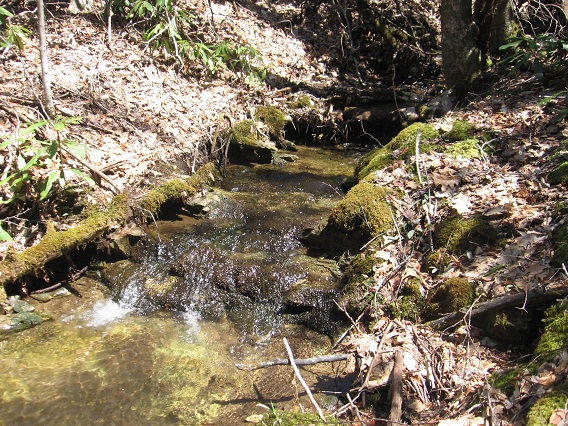
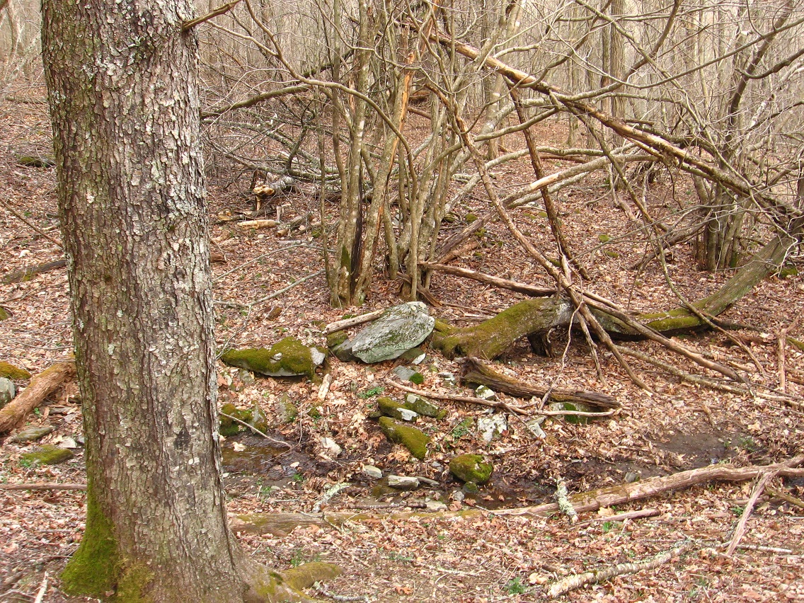
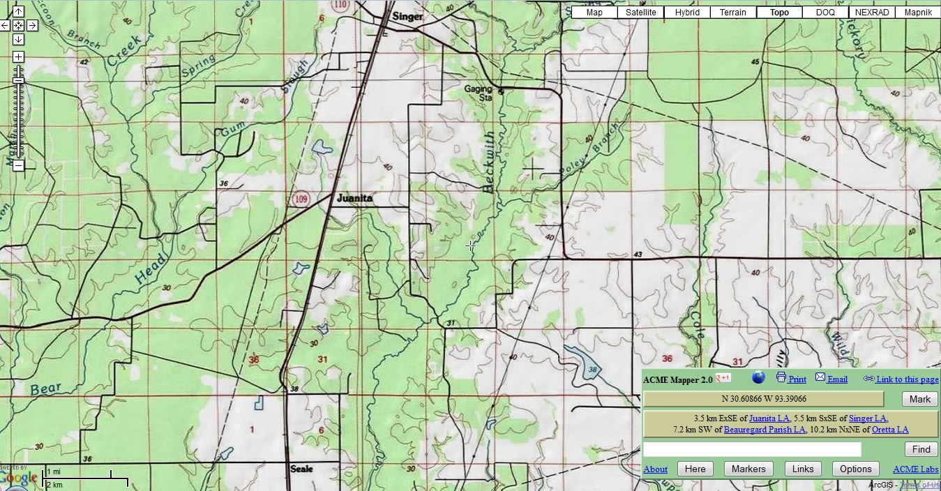
We start at Concreek for this particular post: Mossy Falls. I’ve begun to walk Concreek again after basically ignoring it since last summer. The water flow pattern is quite different now.

IMG_0004smallest

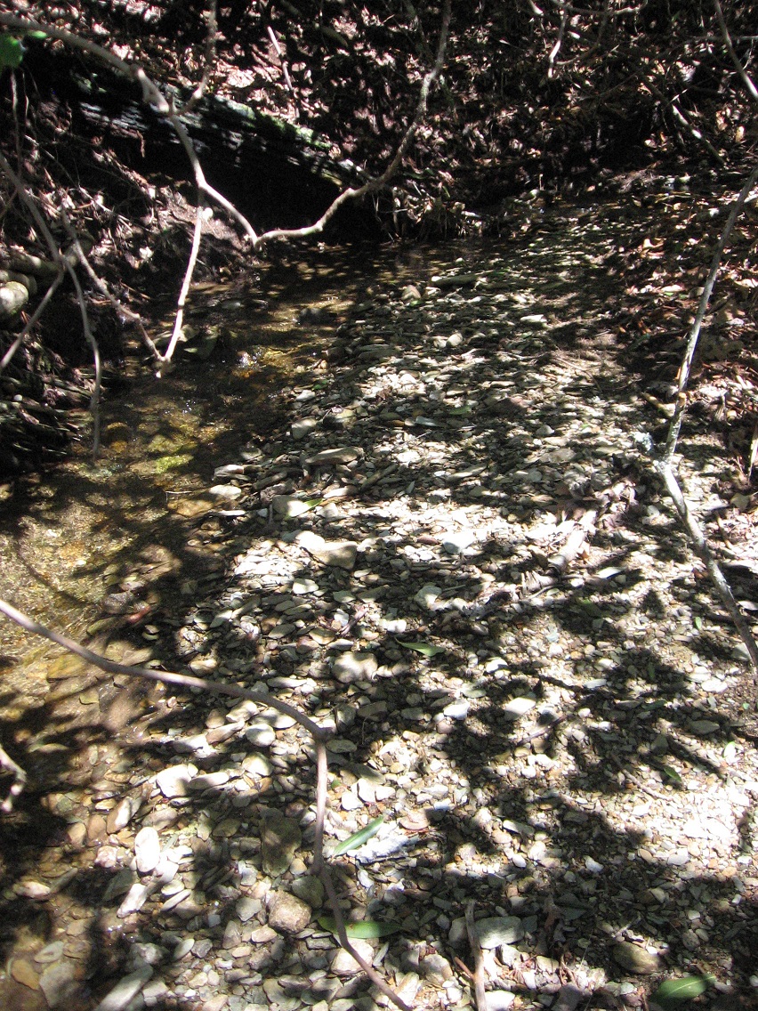
A beach has formed in The Dark that I don’t remember being there. I’ll have to check old Concreek photos soon (perhaps today!).

IMG_0007smaller

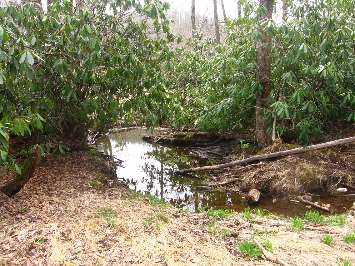
Dry Falls (The Open): no longer dry. We’ll see how long Concreek goes with the flow this year. Last year I believe it was dry at this point by about June. But we’ve had a lot more snow and ice this year to build up the ground water. Very curious to compare.

IMG_0009smallest

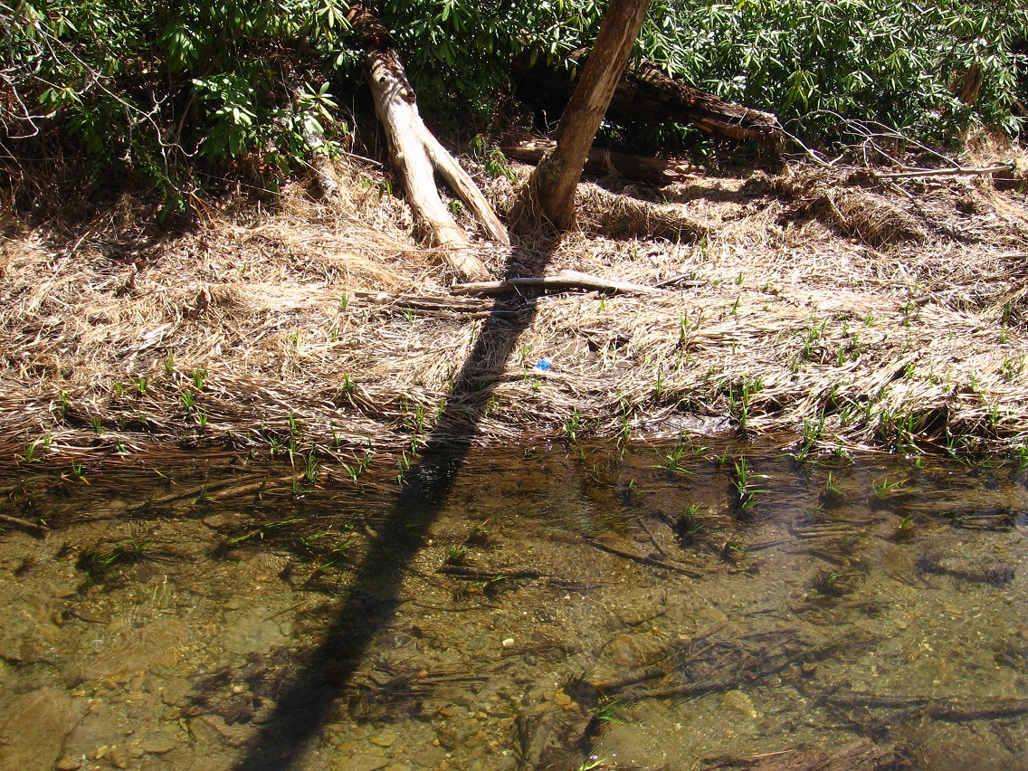
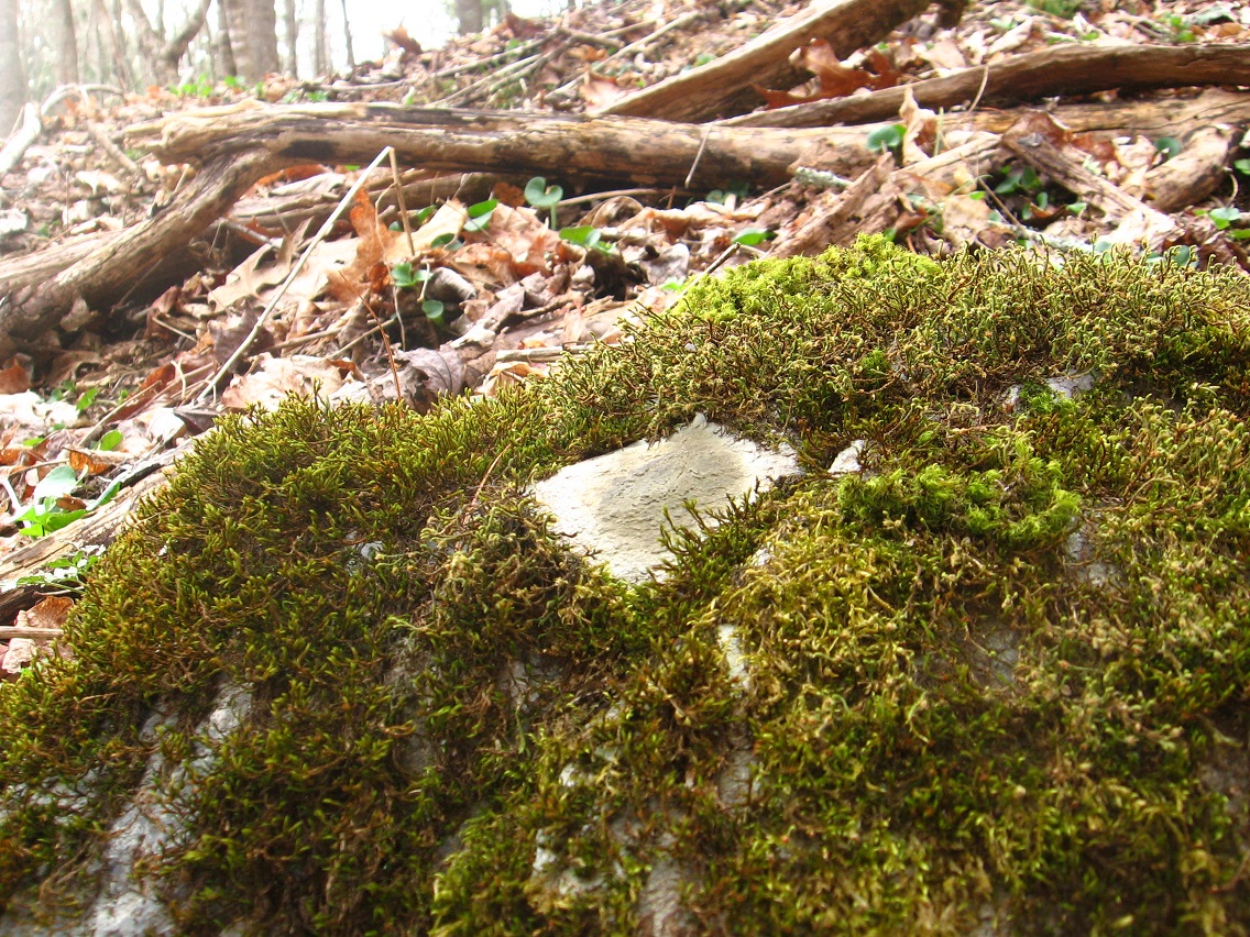
A quite interesting irregularly shaped red rock in the middle of that beach pictured above. I’m tempted to call it the Red Herring, but actually it looks more like a pork chop. Nice contrast between its rough red texture and the recently sprouted, smooth and mottled green growth next to it.

IMG_0013smaller

At the edge of The Final (see Concreek map in link above) we have Damsel Island, a name, like most of those connected to Concreek, established last summer. Connected as well to Damsel, Missouri. Lately I’ve just been using it as a convenient way to cross Green Stream and head to other destinations…

IMG_0016smaller

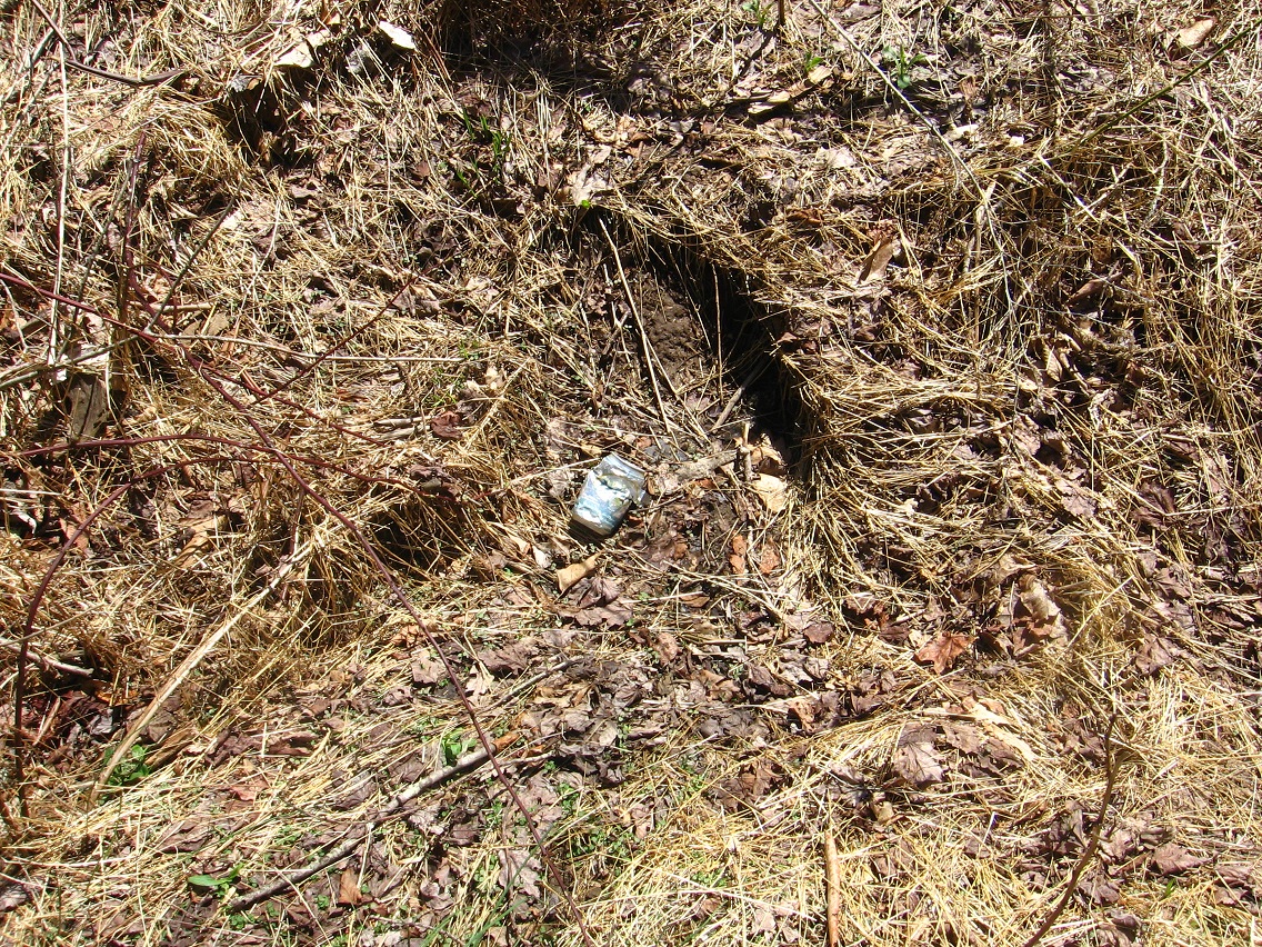
… like The Land of Purple and Blue. Here’s one of the first indicator that we’ve moved into a different space independent from Concreek: a blue soda can. This would be about 100 yards above Damsel Island, perhaps.

IMG_0024smaller

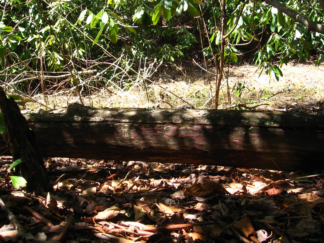
A shot of the old blue can (foreground) with a log bridge in the background (not the arched one, but the straight one just below it) that’s been dubbed The Bridge of Blue and Purple. Appropriately we have this blue can on one side of it, and about the same distance on the other side (closer to Damsel Island and Concreek), a purple soda can. I’ll have to go back (perhaps today!) and take a closer look at these equidistant containers.

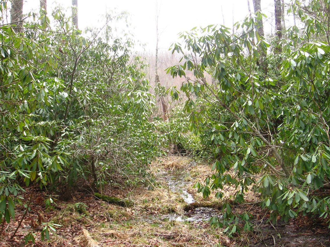
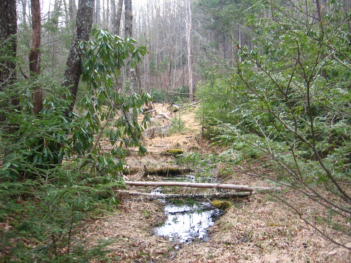
The Land of Blue and Purple, as I’m currently interpreting it, is technically entered by re-crossing Green Stream via the log bridge mentioned above (equidistant between the blue and purple cans, once more). A clear area in the mainly rhododendron clogged region marks the location; all you have to do is cross the bridge and walk uphill a bit to reach it. But in truth the Land of Blue and Purple seems more a red herring, for the actual focus of this bridge appears to be The Totem, followed from the opposite direction. Appropriately I may call the capital of the Land of Blue and Purple Red Herring, and even mark it with that red rock I found in Concreek this same day of picture snapping. But let’s move to the area of The Totem, a quite mysterious object indeed.

IMG_0025smaller

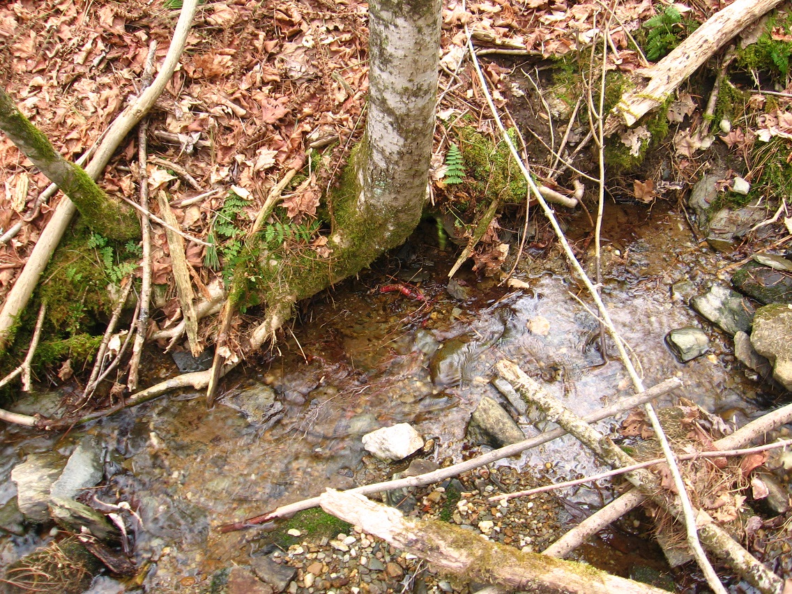
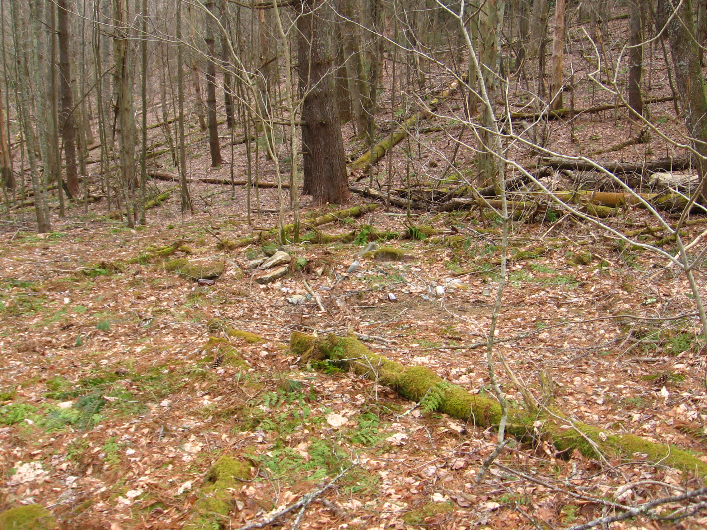
But it was only on the following day of exploring, where I descended Concreek once more, that I found the actual totem. This day I discovered the purple fungus on a log just beside it, attracted to a flat clearing underneath rhododendron branches between 2 stream flows opposite Green Stream in the open area there.

IMG_0028smaller

This probably has something to do with the Land of Blue and Purple don’t you think? I’ve recently discovered this same kind of fungus, apparently, in Whitehead Crossing, but there it took more of a red or maroon cast.

IMG_0030smaller

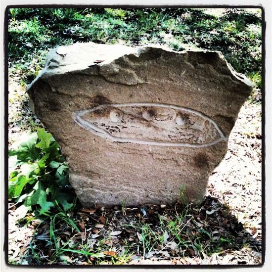
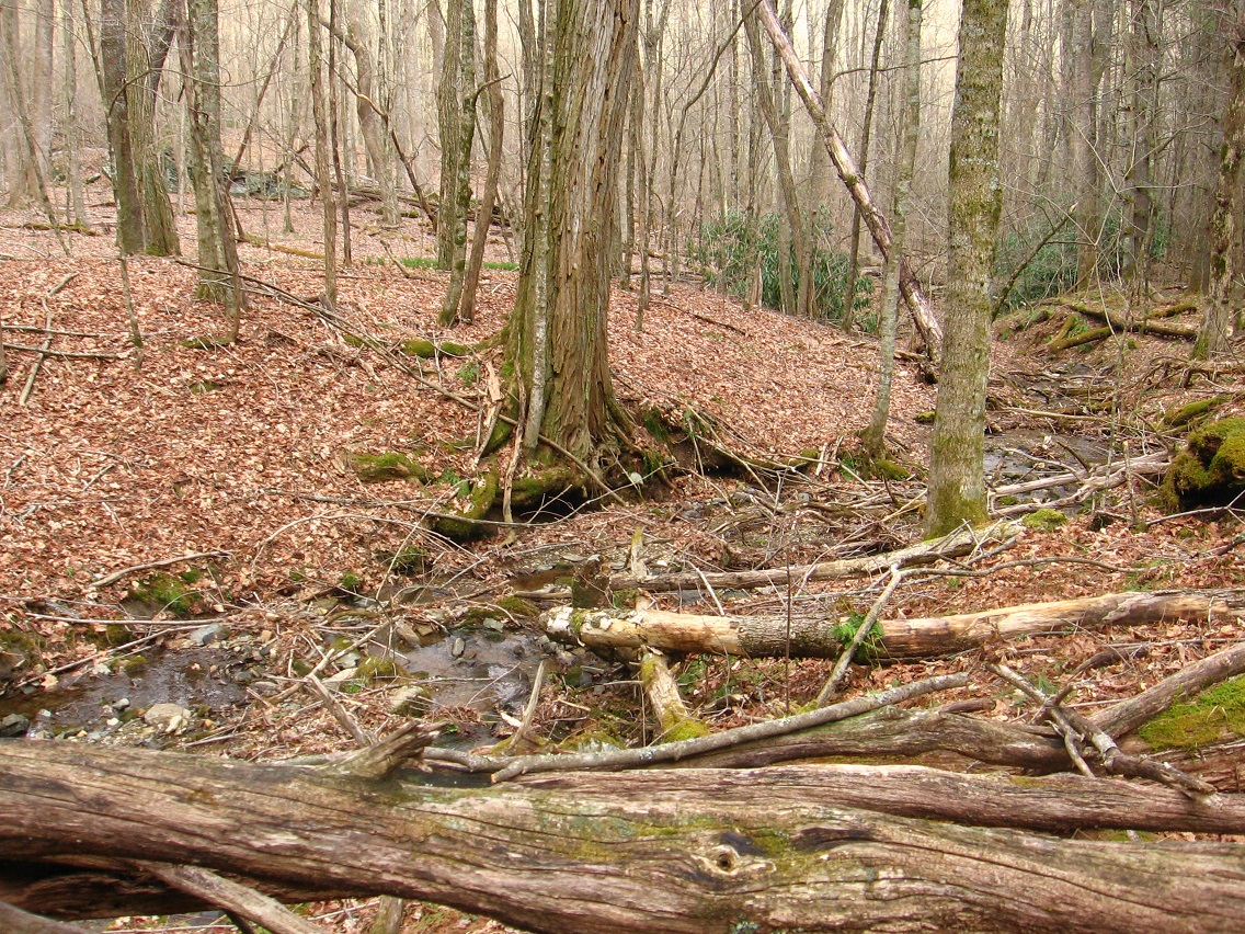
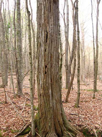
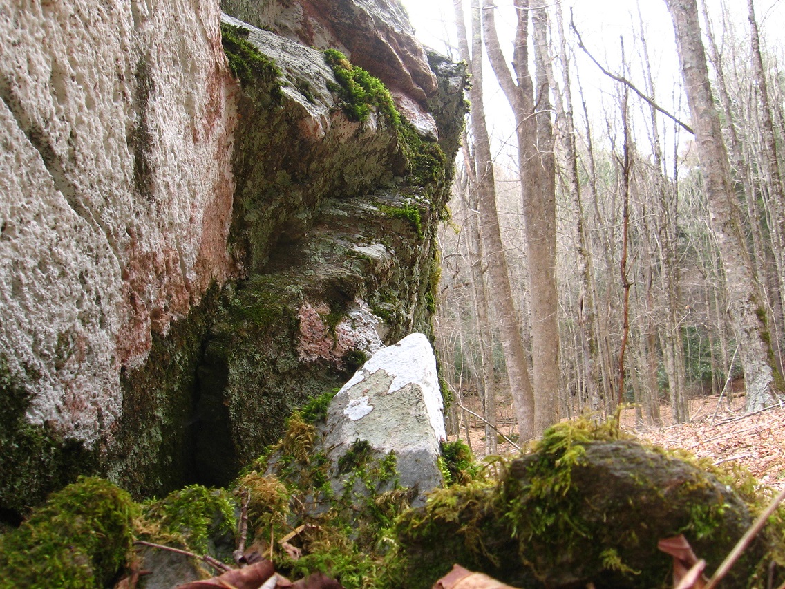
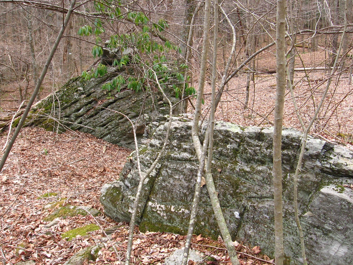
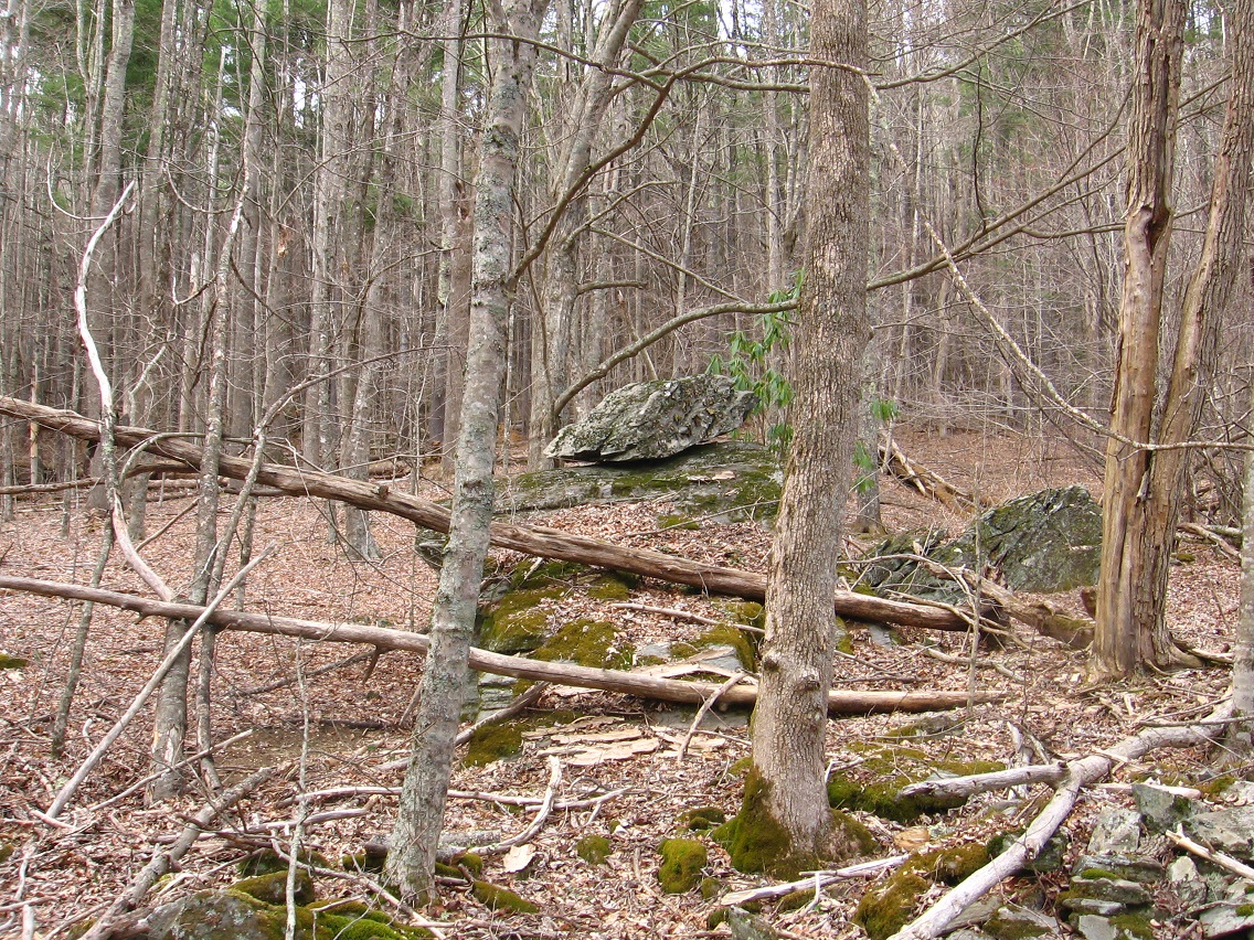
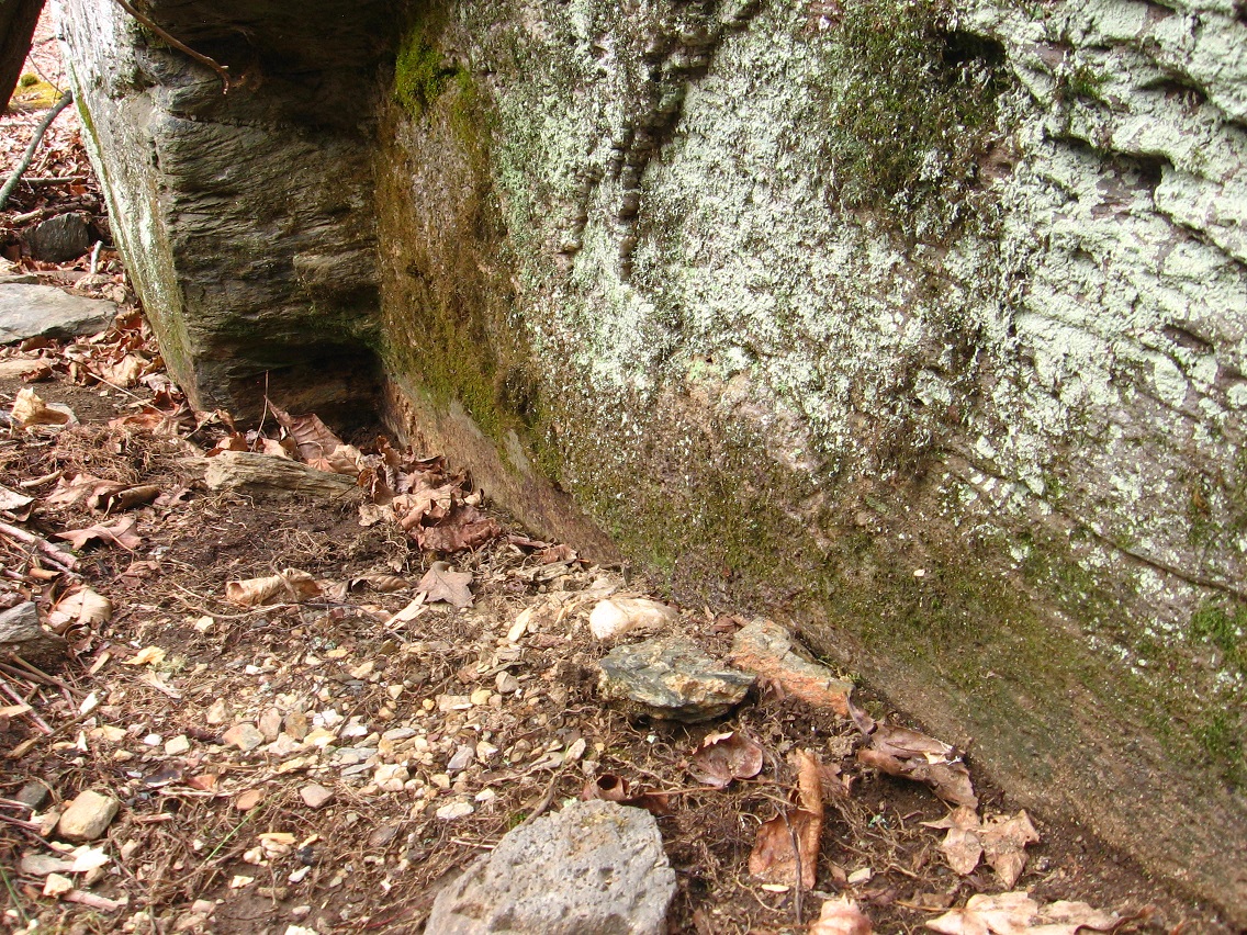
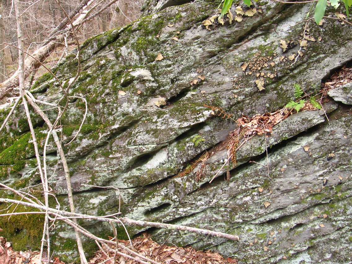
Nearby is this rock that I think could have been placed here on purpose — not natural, as it were. The rock will probably garner a name soon. It lies near the head of the smaller of two water flows in this area, as yet unnamed as well — let’s call it Silverberg for now, partly because The Totem reflects a silvery hue.

IMG_0034smallest

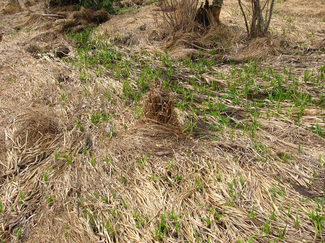
A green soda can then seems to mark the upper limit of Silverberg, ending the influence of blue and purple here.*

IMG_0035smaller

* If this place truly is named Silverberg, or was in the past (future?), then Monkey City may also be involved. See: Head Trip.

Leave a comment

Filed under Blue and Purple Land, Concreek, Frank Park

Return to Whitehead X-ing 04

So here we have the *legitimate* fairy house, i.e., the one not built by human hands. I’ll attempt to take a close up shot asap. Legend goes (or will go) that perhaps the only true fairy of Monhegan Island discovered a portal (created?) around Little Whitehead on *that island*, connecting it to the Little Whitehead of my woods here in Frank Park. Perhaps he tired of the tourists on the Maine Island, and their feeble attempts at creating actual fairy houses. He tired of their unending attempts at capturing the true nature of his island through oil paintings and watercolors. He tired of the ones who wanted to be the new Wythes, yes. So he came here or escaped here, a quieter place but of comparable beauty and of larger scope. Is this the same as Rock Meadows, also of Whitehead fame and whose rocket ship supposedly crashed not far atall from the recently discovered fairy house there? I’m not sure. And what of the 3 tulip trees in front of the fairy house here? Planted by the fairy himself? If this isn’t Rock, then what’s his or her name? Are there more than one? Is this a fairy *vacation* house of sorts??

IMG_0120smaller

Stream in front of the fairy house and meadow, leading straight towards Green Stream and also Rock’s crash site. There must be a relation between Rock and this fairy house.

IMG_0123smaller

Leave a comment

Filed under Frank Park, Maine, Whitehead Crossing

Return to Whitehead X-ing 03

Ridge between Little Whitehead and Whitehead (Brook). This may be the site of the true or at least the core of Whitehead Crossing. Makes sense. There’s that evergreen grass again, back center.

IMG_0070smaller

Red root in Whitehead Brook.

IMG_0071smaller

Very large tree beside Whitehead Brook on this ridge. I believe this is a locust tree.

IMG_0073smallest

IMG_0077smallest

Directional Rock, to south of Whitehead Brook now. This lies between Hucka D.’s bottle site and Rock’s Meadows.

IMG_0078smallest

And now Hucka D.’s 50 or so bottles.

IMG_0080

This particular day of photo snapping, I decided that Whitehead Brook can logically be divided into several part in its flow within Whitehead Crossing. These can be established by the points the stream’s 2 “tributaries” join the flow, or, first, Little Whitehead (seen below)…

IMG_0081smallest

… and then the spring which lies beside the Grey Rock complex, which presently doesn’t have enough water to make it to Whitehead Brook — dries up in the meantime — but obviously during heavy rains does. It just so happens that this huge tree (oak?) fell across Whitehead Brook right at this conjunction.

IMG_0083smaller

Dry patch underneath this fallen trunk.

IMG_0085smaller

Higher clay bank just beyond (downstream) — no name yet.

IMG_0088smaller

Log from downstream. The island in the foreground also has no name as of now. I’ll create a new Whitehead Crossing map showing these new Whitehead Brook & Whitehead Crossing divisions asap.

IMG_0104smaller

Leave a comment

Filed under Frank Park, Whitehead Crossing

Return to Whitehead X-ing 02

Closeup of recently designated White Rock next to the second largest rock of the Grey Rock complex. Where *does* it point to?

IMG_0031smaller

Grey Rock and largest neighbor, still unnamed. White Rock is on the other side of the foreground rock.

IMG_0036smaller

The stream flow beside Grey Rock. I must get a name for this soon. This is obviously not Little Whitehead, an appellation which has been claimed by the only other spring flow within Whitehead Crossing, just to its west. We’ll get into more of that in a moment. To the right in the below photo you have Bald Head Rock, which, like White Rock, has direct associations with Robertson County of the Lone Star state.

Was Grey Rock known at one time as King Rock? Or was its *neighboring* large rock known as that? At any rate, if you enlarge the below photo by clicking on it, you can see White Rock as a white speck against the latter’s gray surface. I also see the spot where I took the photo here as a place of meditation in the future, perhaps the site of a temple even. It lies at the head of the spring, with a great view down to Grey Rock and also the woods beyond. Each of these rocks could have a story to tell.

IMG_0037smaller

Picture of the middle rocks of the stream, taken from the west. None of these rocks currently have names.

It could be that one of the rocks around Grey Rock is called Seale or Seale Rock, thinking of yet another Robertson County town near Headsville and Bald Prarie. We’ll just see.* If so, it might be a Seal Stone, shortened over time to Sealston.

Was Grey Rock actually called Seal Stone at one time? Thinking here of the topping rock like a ball at the end of the seal or sea lion’s nose.**

IMG_0044smaller

Closeup of Bald Head Rock.

IMG_0047smaller

A smooth rock below Grey Rock, with my now empty coffee cup atop it. Seale Rock in the distance (yes, I’ve already figured out which one it probably is!).

IMG_0061smaller

Grey Rock and topping Seale Rock (!) from the south. This end of a tree trunk stuck in the ground probably means something as well in meaning packed Whitehead X-ing.

IMG_0062smallest

We now move to the top of Little Whitehead only maybe 20 or so yards to the west of Grey Rock.

IMG_0066smaller

The depression in the foreground was probably seen as a source of the stream, at least during a certain time period. It has also been associated in this blog with another crashed rocket site of some unknown Rocket Man, maybe the great whitehead Sinclair himself (?)

IMG_0068smaller

3 pine trees traditionally marking another boundary of Whitehead X-ing, this time on its west side, and just above the source of Little Whitehead.

IMG_0069smaller

* Elton John’s “Grey Seal”.

** Jethro Tull’s “Sea Lion”.

images

seal_singer

220px-Seal_2012

2 Comments

Filed under Frank Park, Whitehead Crossing

Return to Whitehead X-ing 01

After several attempts at this, I’m finally energetic enough after work to take some worthwhile photos of Whitehead Crossing, which has more and more become a woodsy center or focus for me recently. And, I feel, down the road as well, when I’ll be a true White Head in da Woods (retired). How far to go within or penetrate the essence currently? Apparently quite a lot. Let’s start with a northeast corner of the designated area, which is the same as the corner of what was probably an old pasture. How old are the trees of Whitehead X-ing within this old pasture area? Unsure.

IMG_0001smaller

Rotted group of trees just inside this corner. Not sure what kind they are.

IMG_0003smaller

More trailing vines just down the hill. We’re nearing Grey Rock and its accompanying stream once more.

IMG_0009smaller

IMG_0011smallest

Floating tree branch perhaps defining another internal Whitehead Crossing border.

IMG_0016smaller

Grey Rock from the south.

IMG_0019smaller

Bottom of Grey Rock’s west side. All these details seem important.

IMG_0021smaller

Gray Rock, of course, has a famous topping rock, as yet unnamed actually. Piggyback Rock? It’s the original one thing on top of another thing according to more of that local legend. So that makes it also the Original Collage, I suppose. More on this rock soon. It’s obviously a center of a center.

IMG_0025smaller

A rhododendron sprouts from the side of Gray Rock, attempting to hide its topping or piggyback rock from this angle.

IMG_0027smaller

East side of Grey Rock. Remember that this rock had been associated with Maine and Norumbega and Nautilus Island/Jeogeot/Second Life well before I learned about the additional strong Maine resonance with the area through Monhegan Island and its Whitehead and Little Whitehead, etc. This connected to the fact that Grey Rock is also known as Jeogeorock (or a jeogeorock, for there may be several), or a rock that embodies the essence of Second Life’s Jeogeot continent which I was so involved in for several years.

IMG_0028smaller

Leave a comment

Filed under Frank Park, Whitehead Crossing