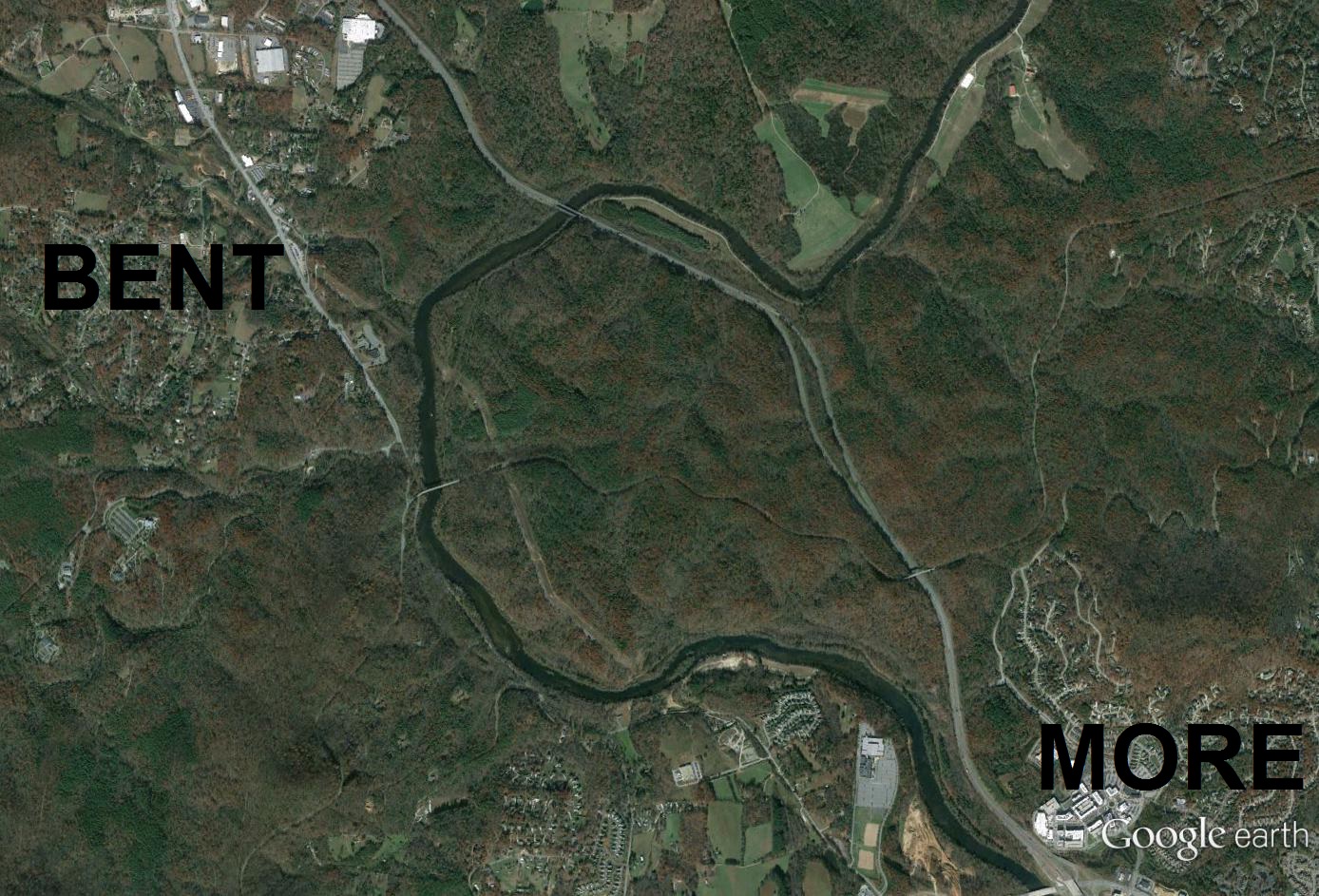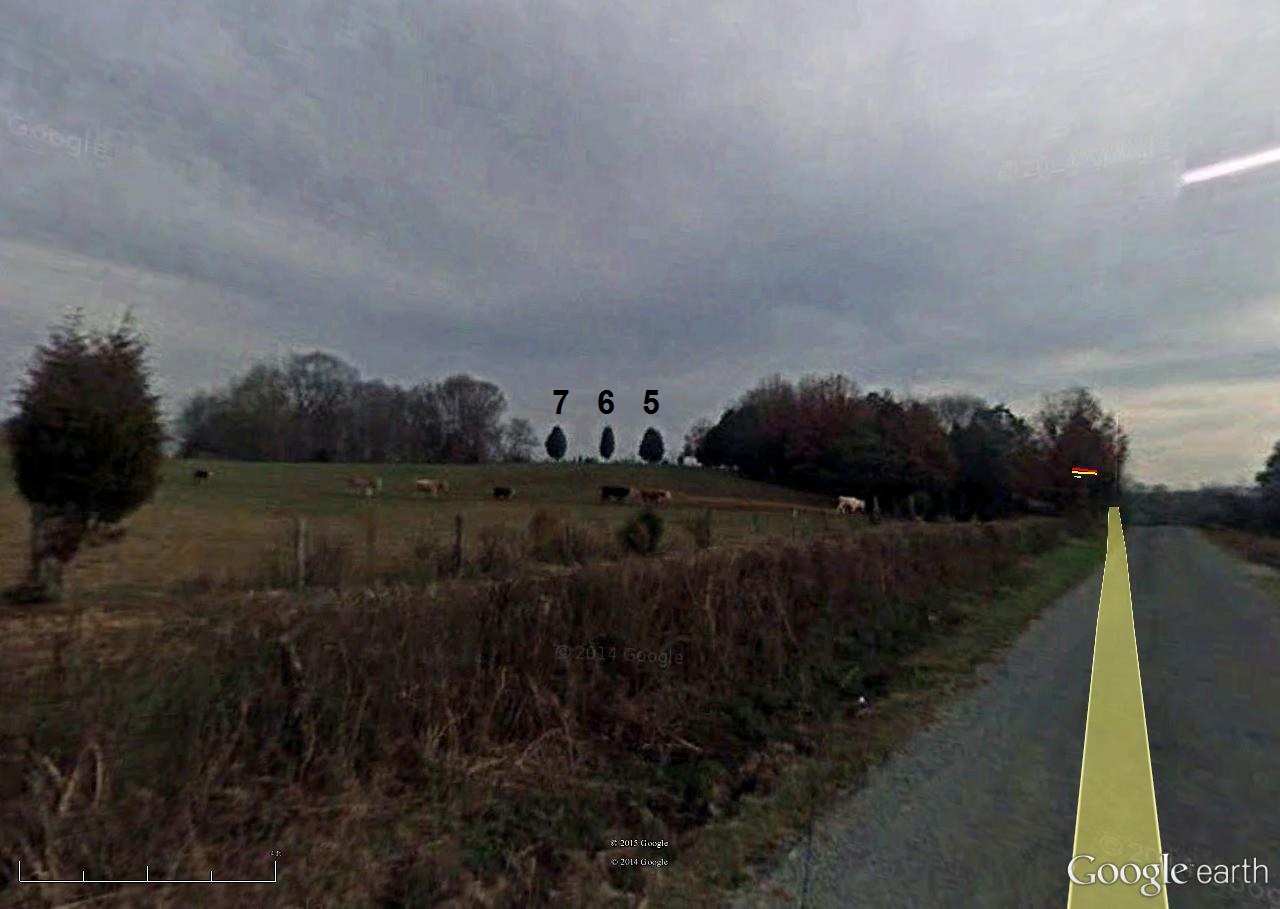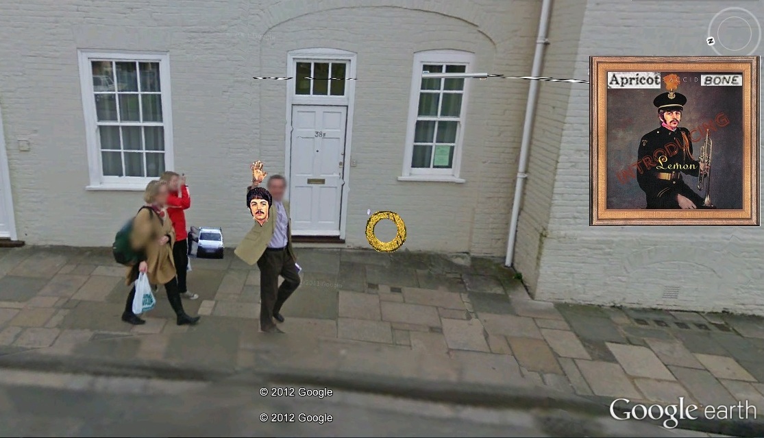
Greenway
Bentmore-Future Home line passes directly over Greenway here where it intersects path leading to Prime/First Stream area via Grassy. In this location, Grassy and Greenway act like concentric circles. Future Home = center?
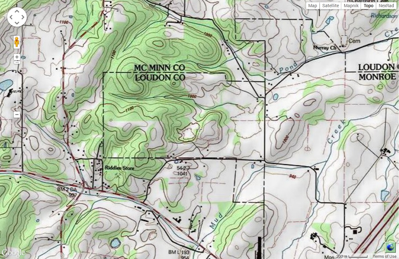
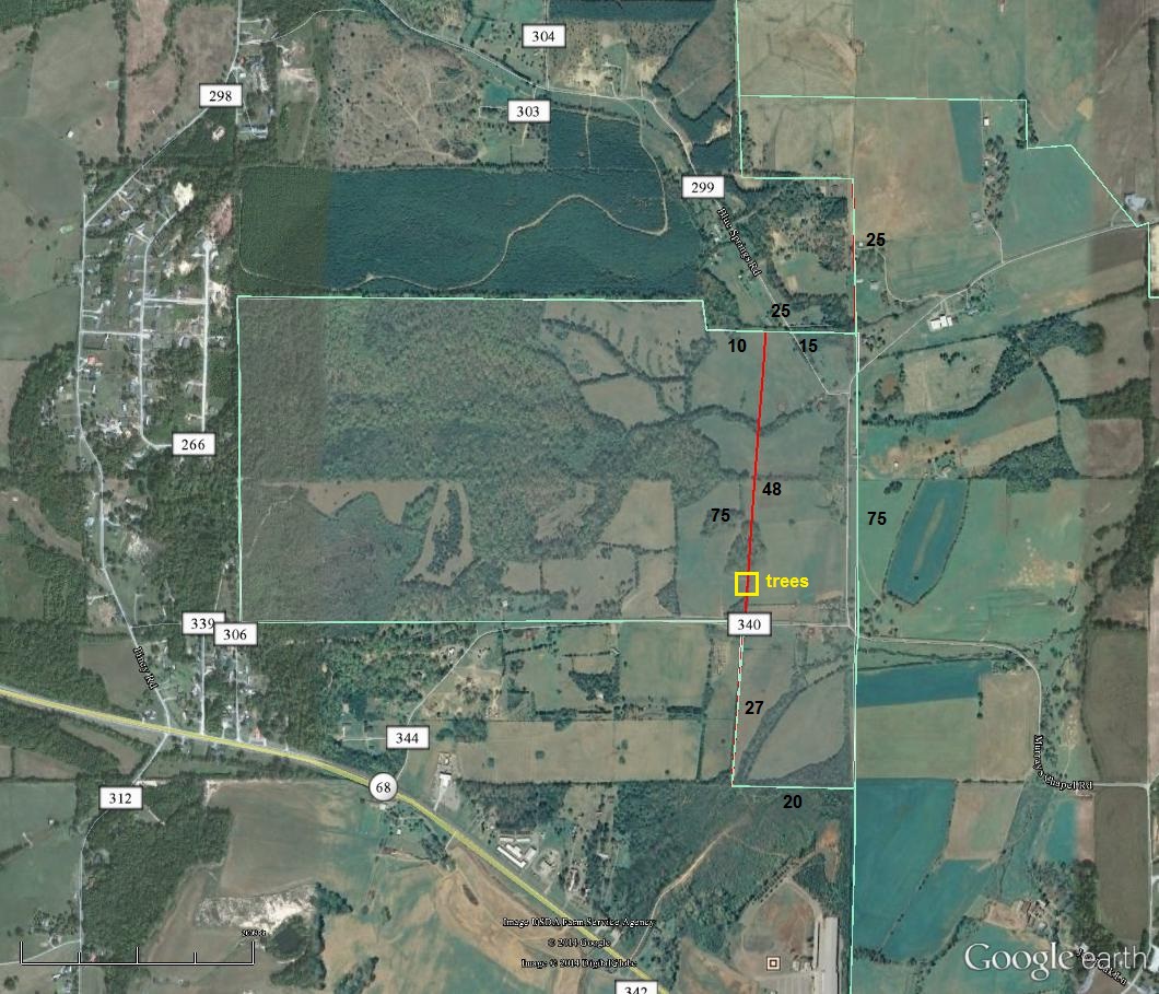
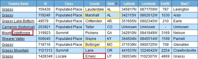
Grassy (all):
http://aqua-teen-hunger-force.wikia.com/wiki/The_Plutonians
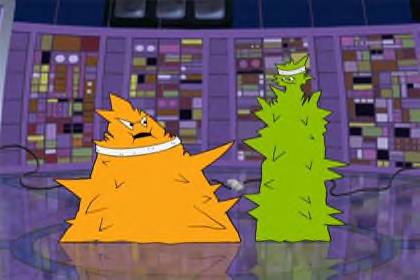
The Plutonians are two jagged-shaped aliens from the planet Pluto or beyond Pluto.
Contents[show]
CharactersEditOglethorpe (voice of Andy Merrill), the leader, is the obese, orange-colored one who usually comes up with their “plans” for World Domination. Emory (voice of Mike Schatz), his tall green sidekick, who was explained to be partners since college, hooked up by a computer, is the tag-along of Oglethorpe, and usually the one to know when things have gone sour. In “The Last One,” Oglethorpe mentions that he went to high school with Ignignokt, mentioning some kind of incident on the bus. Despite this, the Mooninites think that “Plutonians are teh suck”, which started Spacecataz. The Plutonians’ ship is also, incidentally, Uglor’s ship from Space Ghost Coast to Coast. They can be seen in Master Shake’s pinball machine in Eggball.
TriviaEdit
They are named after the two universities in Atlanta, where Williams Street created Adult Swim.
https://en.wikipedia.org/wiki/Mount_Oglethorpe
Mount Oglethorpe, the southernmost peak in the Blue Ridge Mountains,[2] is located in Pickens County, Georgia and was the southern terminus of the Appalachian Trail from when the trail was completed in 1937 until 1958. In 1958, as a result of over development around Mount Oglethorpe, the southern terminus of the Appalachian Trail was moved about 20 miles (32 km) to the northeast to Springer Mountain. Mount Oglethorpe is considered by some to be a more dramatic mountain than Springer Mountain, but the construction of a gravel logging road on the mountain and the development of a number of pungent chicken farms along the route, contributed to the move.
Until 1930, Mount Oglethorpe was called Grassy Knob, but the peak was renamed Mount Oglethorpe in honor of James Oglethorpe, the founder of Georgia.
https://en.wikipedia.org/wiki/Pluto
Pluto was discovered by Clyde Tombaugh in 1930, and was originally considered the ninth planet from the Sun. After 1992, its status as a planet fell into question following the discovery of several objects of similar size in the Kuiper belt. In 2005, Eris, which is 27% more massive than Pluto, was discovered, which led the International Astronomical Union (IAU) to define the term “planet” formally for the first time the following year.[14] This definition excluded Pluto and reclassified it as a member of the new “dwarf planet” category.[15]
Bottom line: Both the (southern) terminus of the Appalachian Trail and our planetary Solar System were shortened by the exclusion of Mt. Oglethorpe and Pluto respectively. Mt. Oglethorpe changed its named from Grassy in 1930. Pluto was discovered in 1930. (Aqua Teen Hunger Force’s) Oglethorpe is a Plutonian. He’s recently been seen in Collagesity starting here, and directly replacing a grassy colored Karoz at the bottom of Confluence Pool who may realize the same here (?).
Arab:
Arab is a way to focus Grassy. Means “Foreign One” or perhaps “Alien”, like a Plutonian.

Grassy > Oglethorpe in 1930; Birth of Secondary Triad beyond [Prime/Primary]