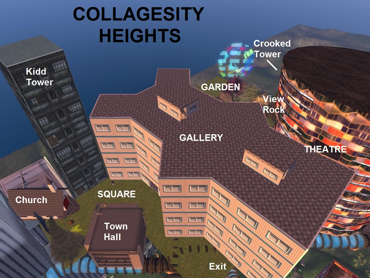
Map of Blue Mountain Urban Landscape, my new hiking focus.
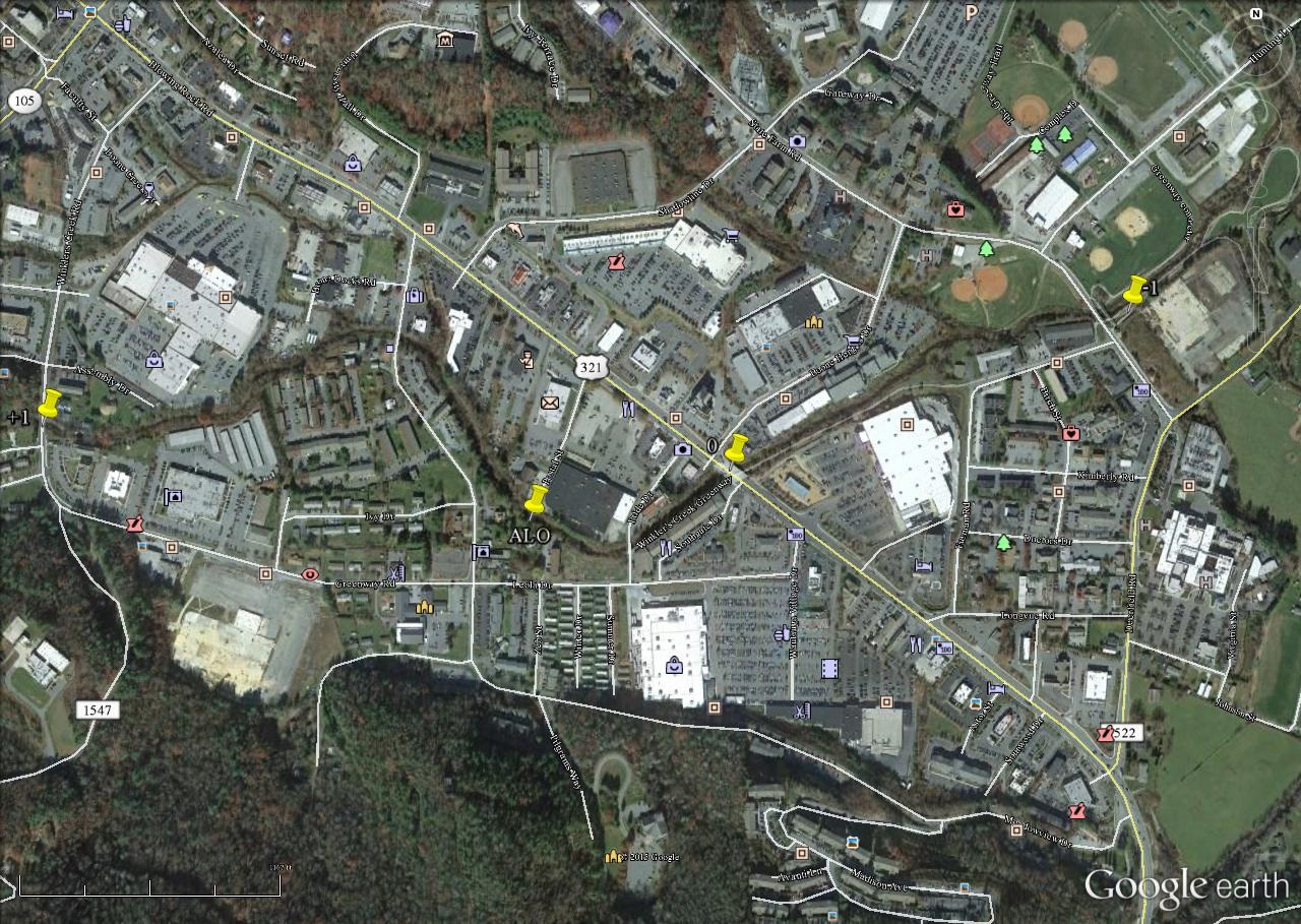
More interesting picnic table on the western side, near position “+1” on the map.
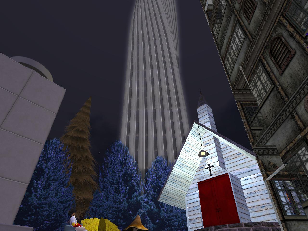
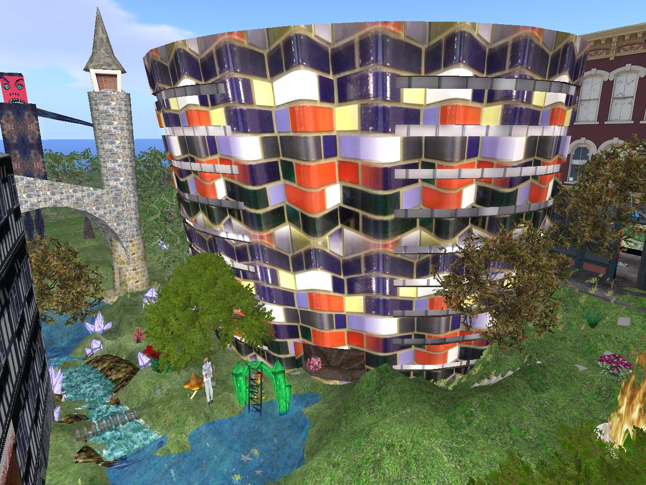
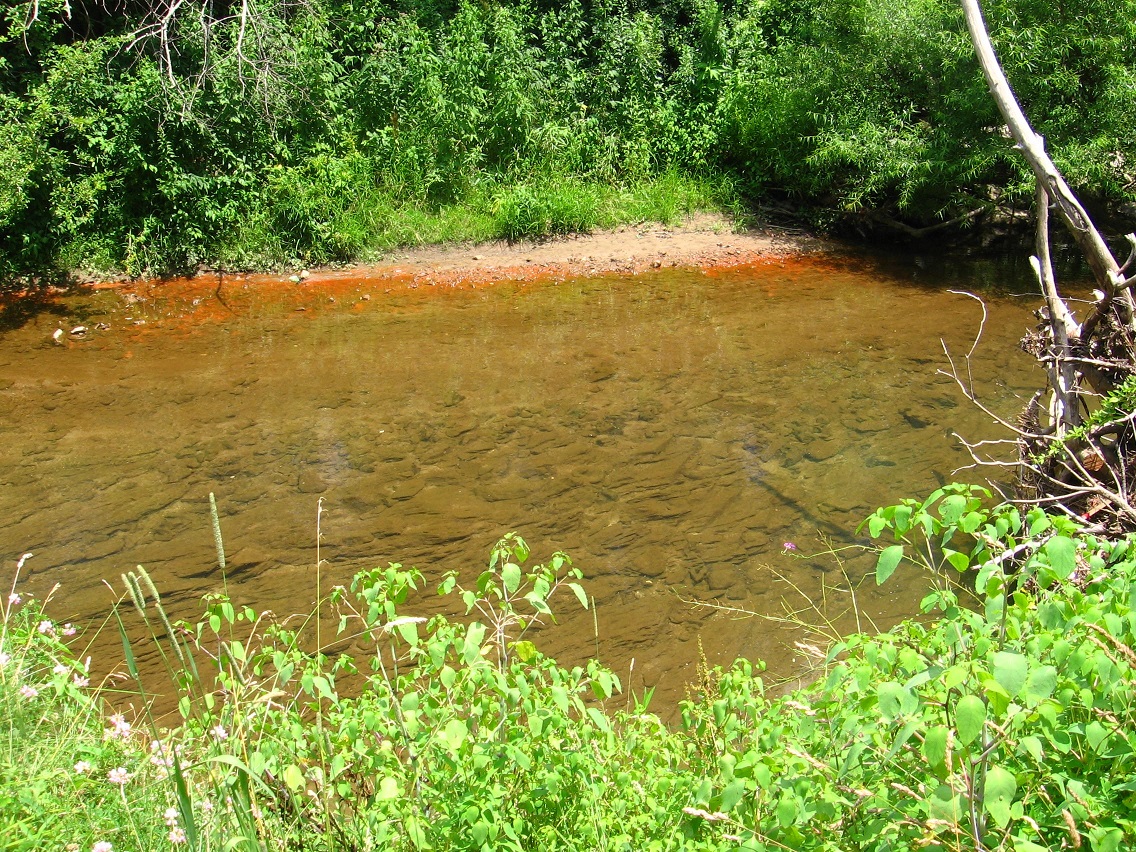
Just across the stream we have a geodesic dome church. The table seems matched to the shape of the structure. Interesting collection of rocks near the stream bank here as well. What is the stream name? I know the name in Real Life. What is it in this blog? I’m going to call it Leola Creek for now (not Bristle Creek).

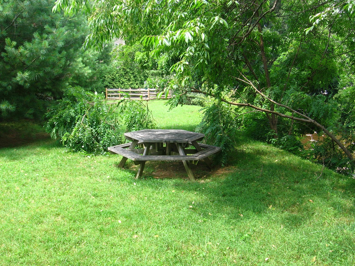
More picnic tables, matched to themselves this time, and even closer to position “+1” on the above map. I think they might refer to conjoined positive and negative poles of a magnet. Is the Blue Mtn. Urban Landscape itself a magnet?


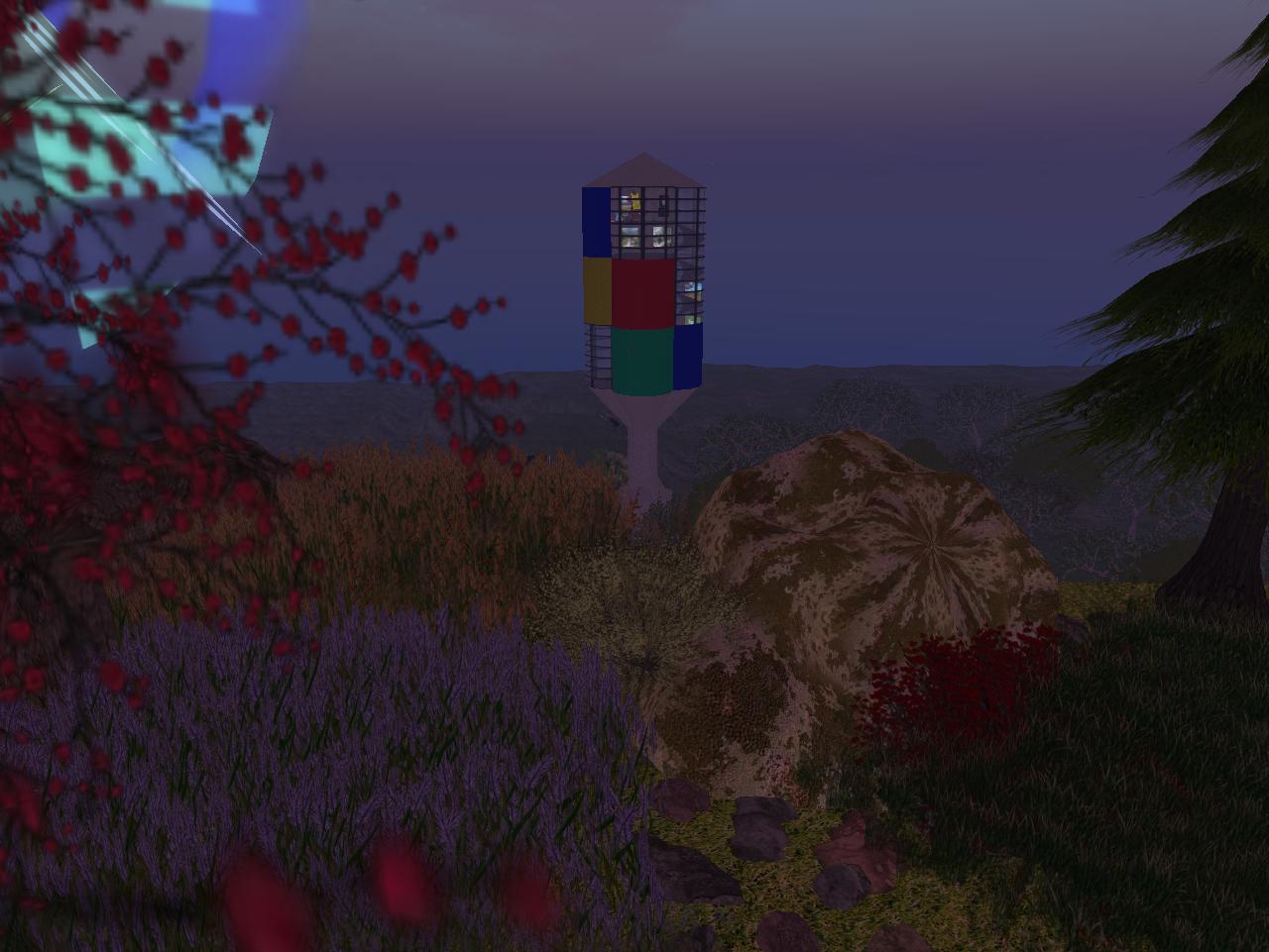
If the central creek’s name running between “+1” and “-1” in the landscape is Leola, then this is a pivotal point on it called ALO, a related term.
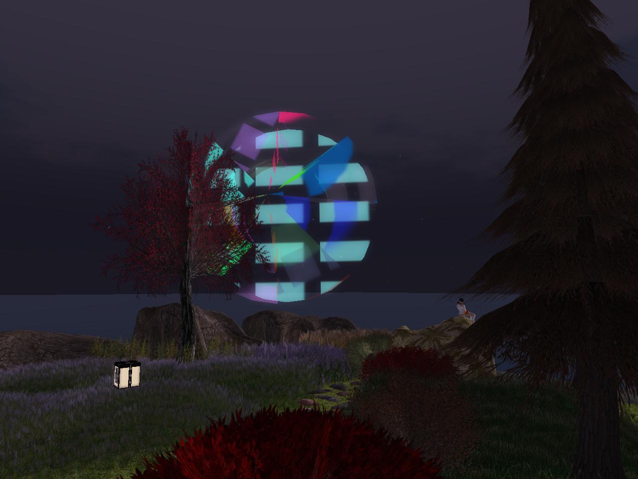
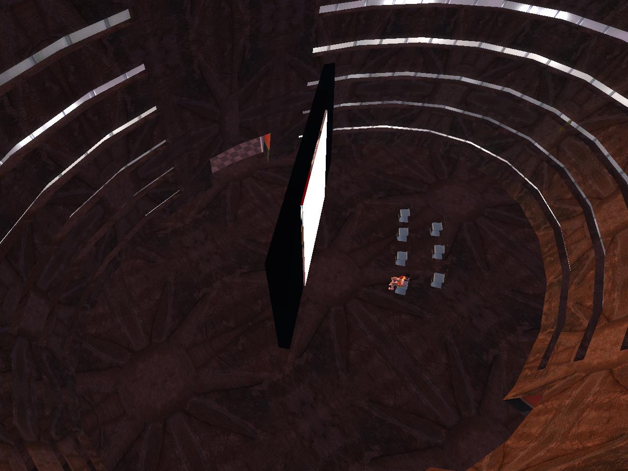
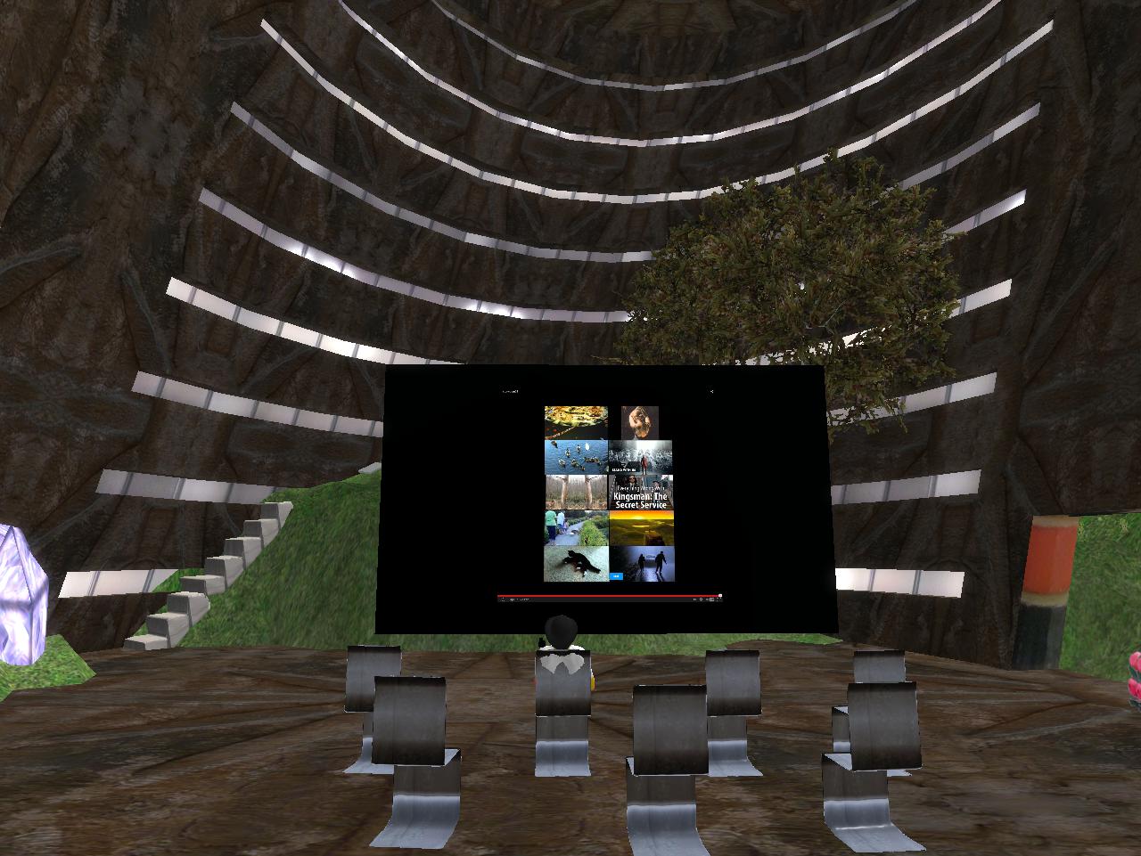
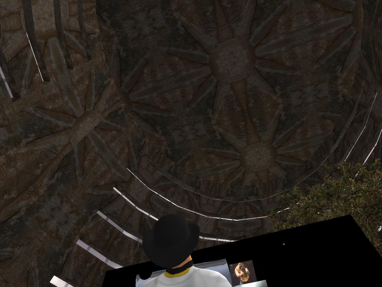
ALO is composed of a secret, hidden trail next to Leola Creek. Turning away from the creek while standing in place brings this additional, mysterious structure into view. Could it possibly be the skeleton of another geodesic dome? Seemingly we have reached True Center.
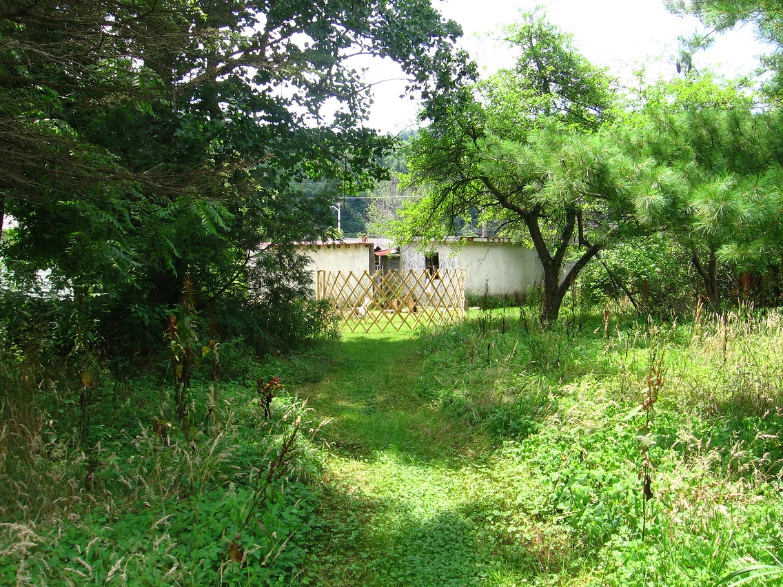
Sunday as I walked the landscape with my wife, I joked to her that I wanted to buy the property adjacent to ALO where this mysterious wooden skeleton is found. She half believed me, and actually got a little upset about it. I believe it 1/3rd myself, which is something.