Daily Archives: July 4, 2016

Bigfoot Early July 01

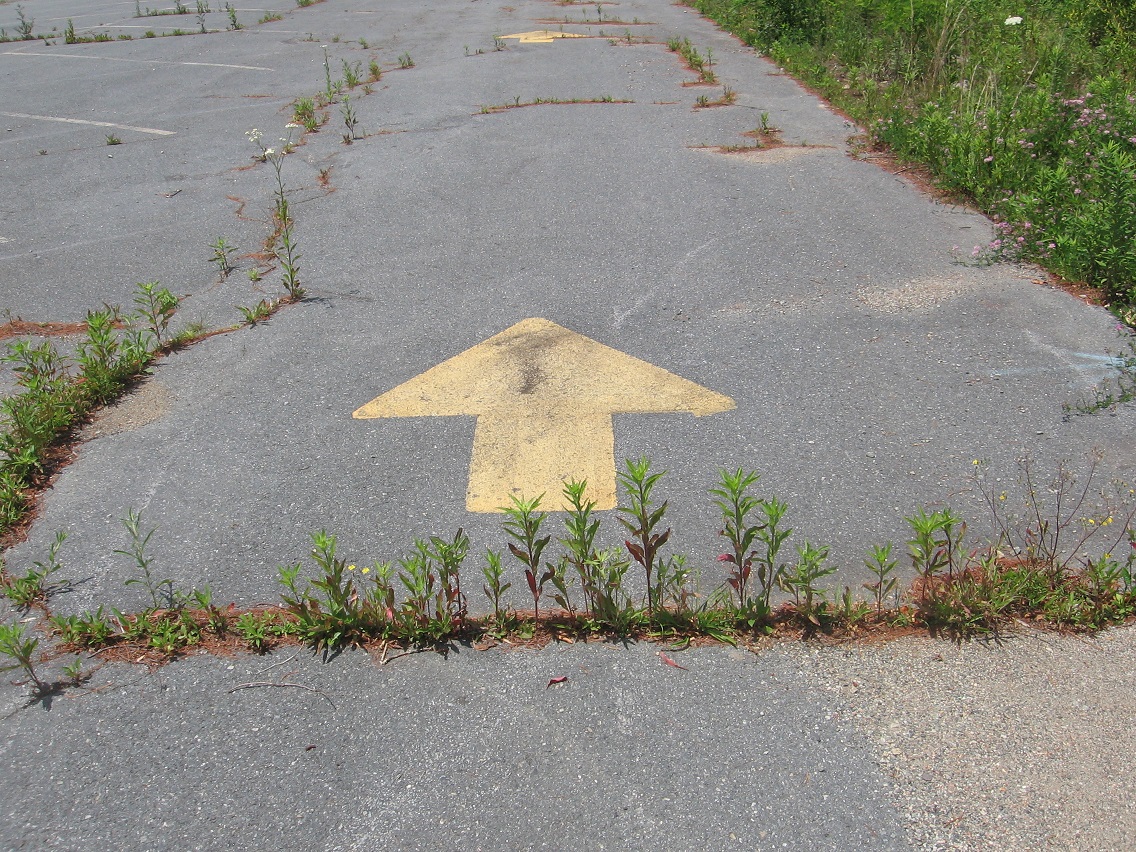
Another shot of that mysterious wood head positioned on the road around Bigfeet Swamp (southeast corner). LINK

IMG_2352smaller

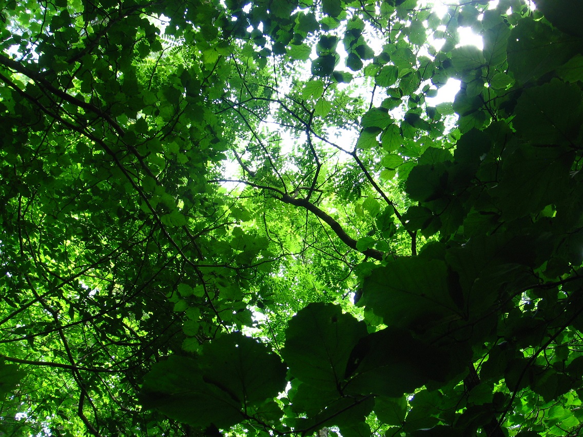
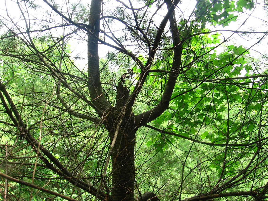
Looking up into the trees.
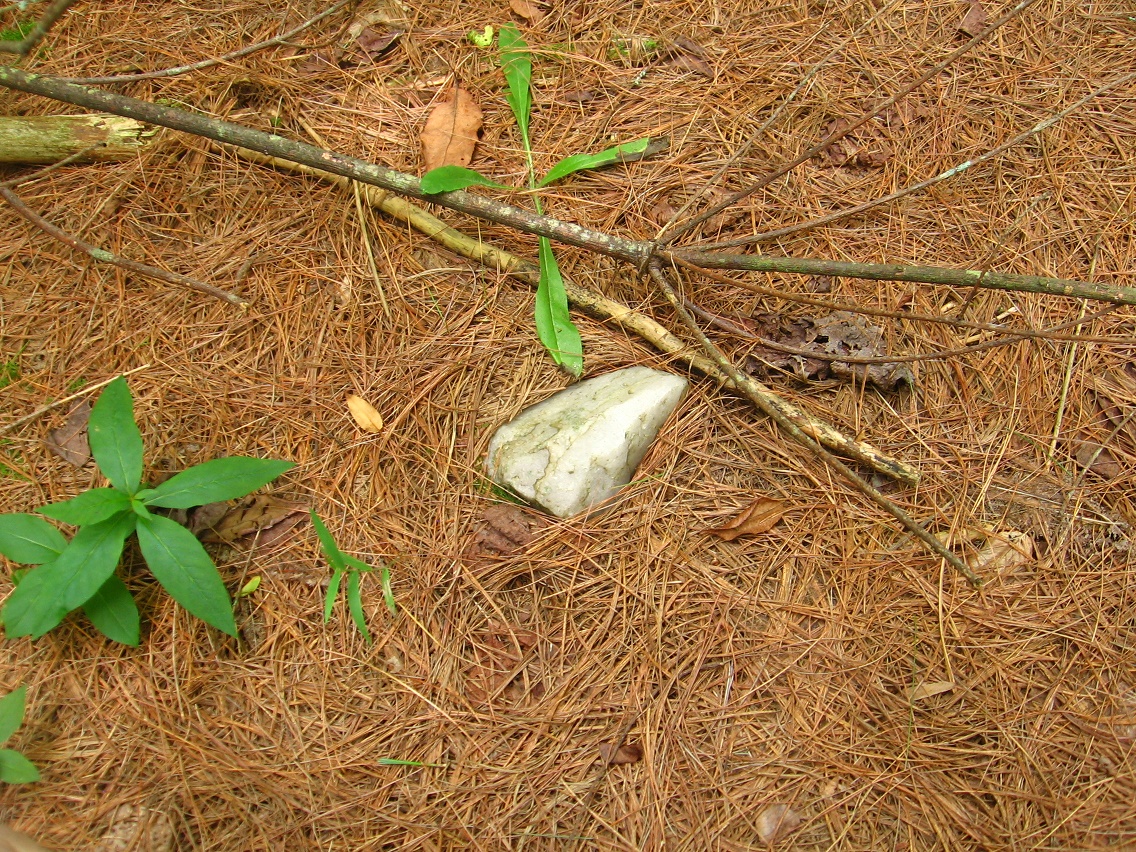
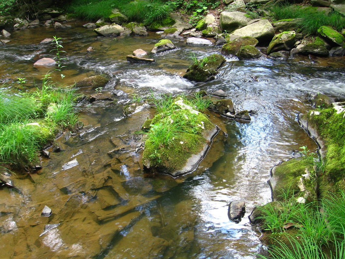
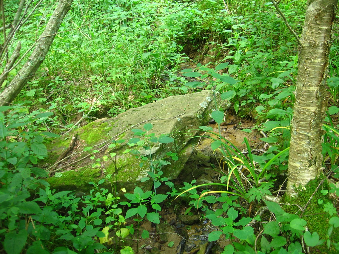
IMG_2355smaller

Leola Creek rock.

IMG_2362smaller

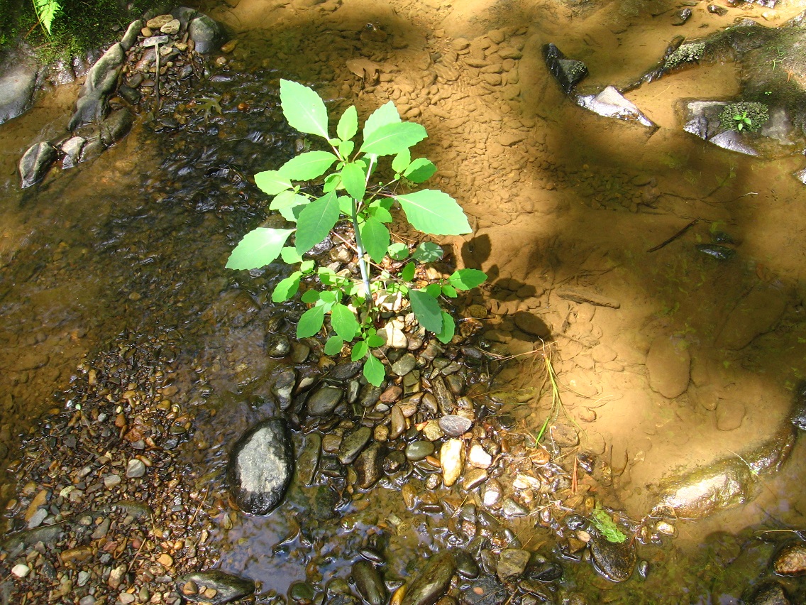
A more interesting, larger rock found on the outlet stream of Bigfeet Swamp, just before it joins the flow of Leola. A more pointy rock.

IMG_2370smaller

Bigfeet cattails…

IMG_2373smaller

Perhaps a slightly better picture of the rock on rock mentioned here. LINK

IMG_2375smaller

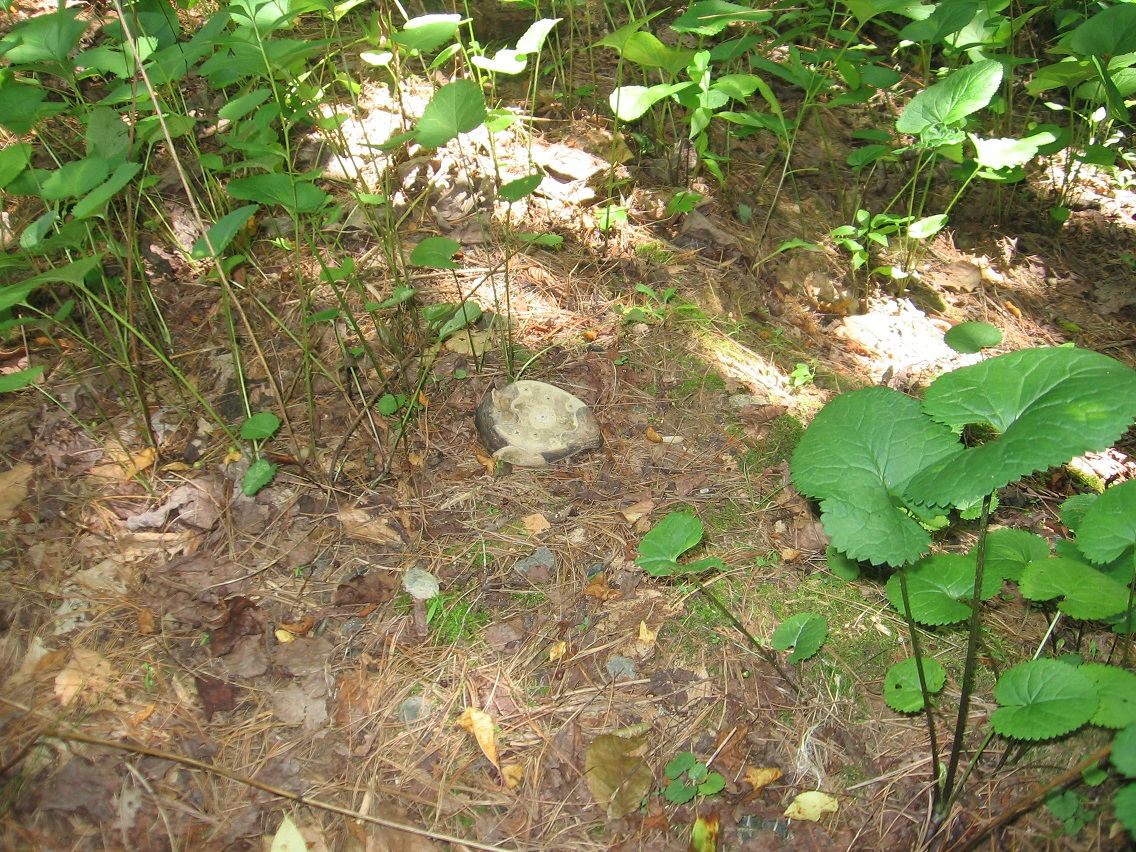
Larger rock within Bigfoot. I believe this is cement now, which once held a fence pole up at the Plateau of Raw Art. Hence the hole in the middle.

IMG_2384smaller

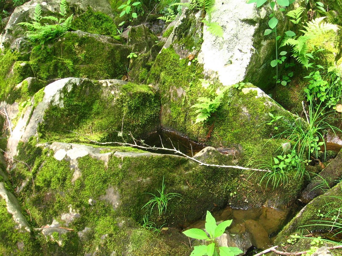
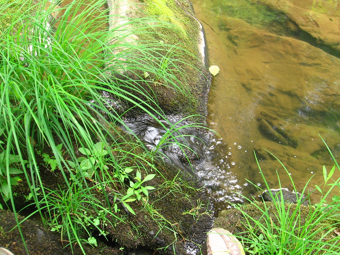
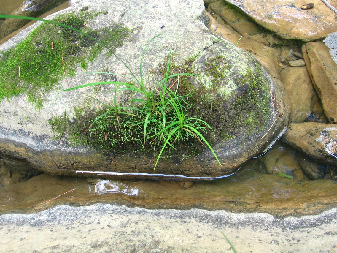
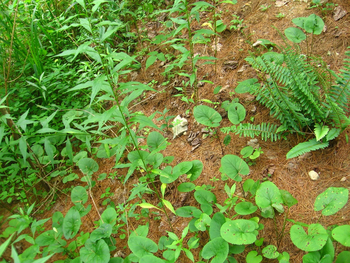
More prominent, mossier rock at Chesterton, which is finally developing into something of an official happening as of yesterday and the day before (as I write this post).

IMG_2394smaller

The protruding lip of this pink cup in Chesterton matches the pink of my shoes (bottom).

IMG_2395smaller

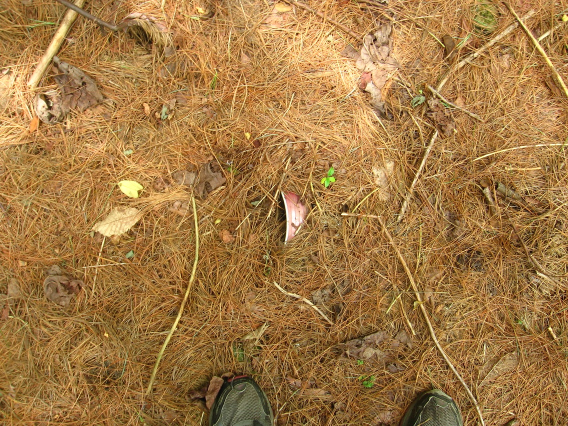
A few feet away, a golden leaf exactly matches the color on faded coke cans just beyond. Something peculiar is already going on here.

IMG_2396smaller

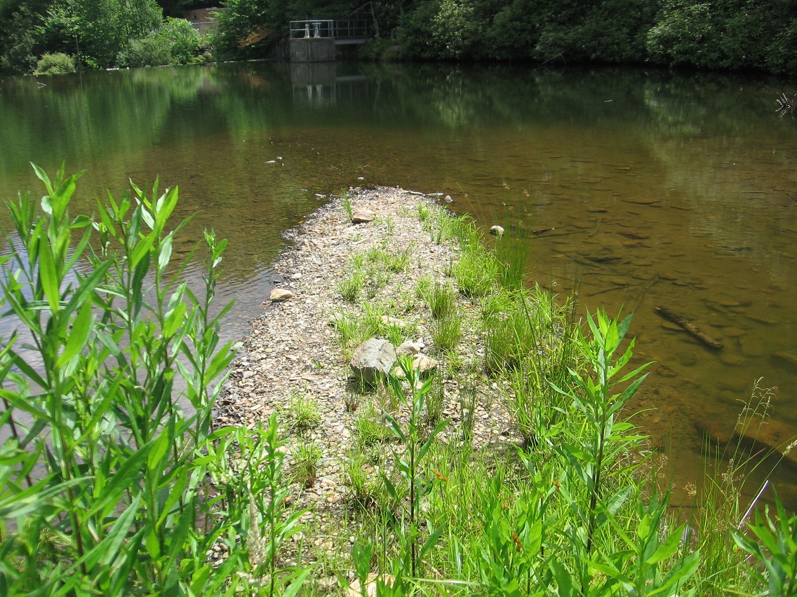
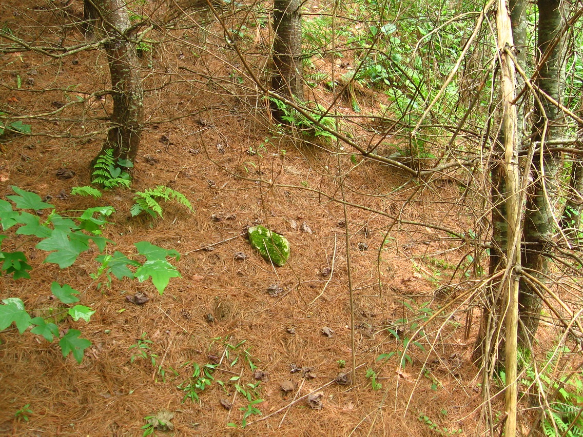
Chesterton looking south from about the position of the golden leaf/coke cans.

IMG_2397smaller

This is First Tree. Within Chesterton we have 5 or 6 pine trees positioned 10 to 12 feet apart on the eastern edge of the forest road I call Second Road. I’ve decided to name them by number starting with this northernmost one.

IMG_2398smaller

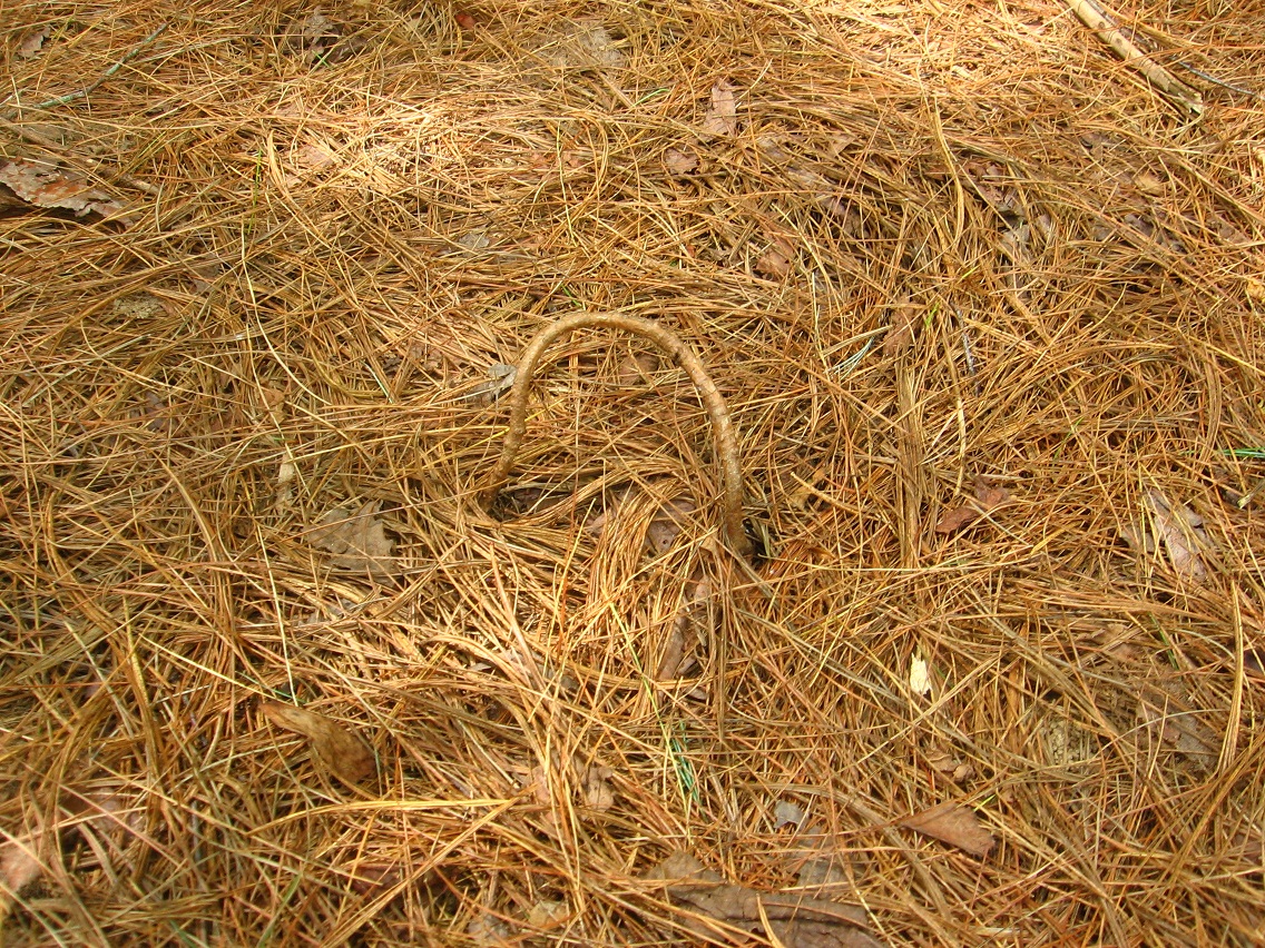
An odd root loop in Chesterton. More on that soon.

IMG_2400smaller

Chesterton tree with moss around the bottom of it. Mossy might become its name.

IMG_2401smaller

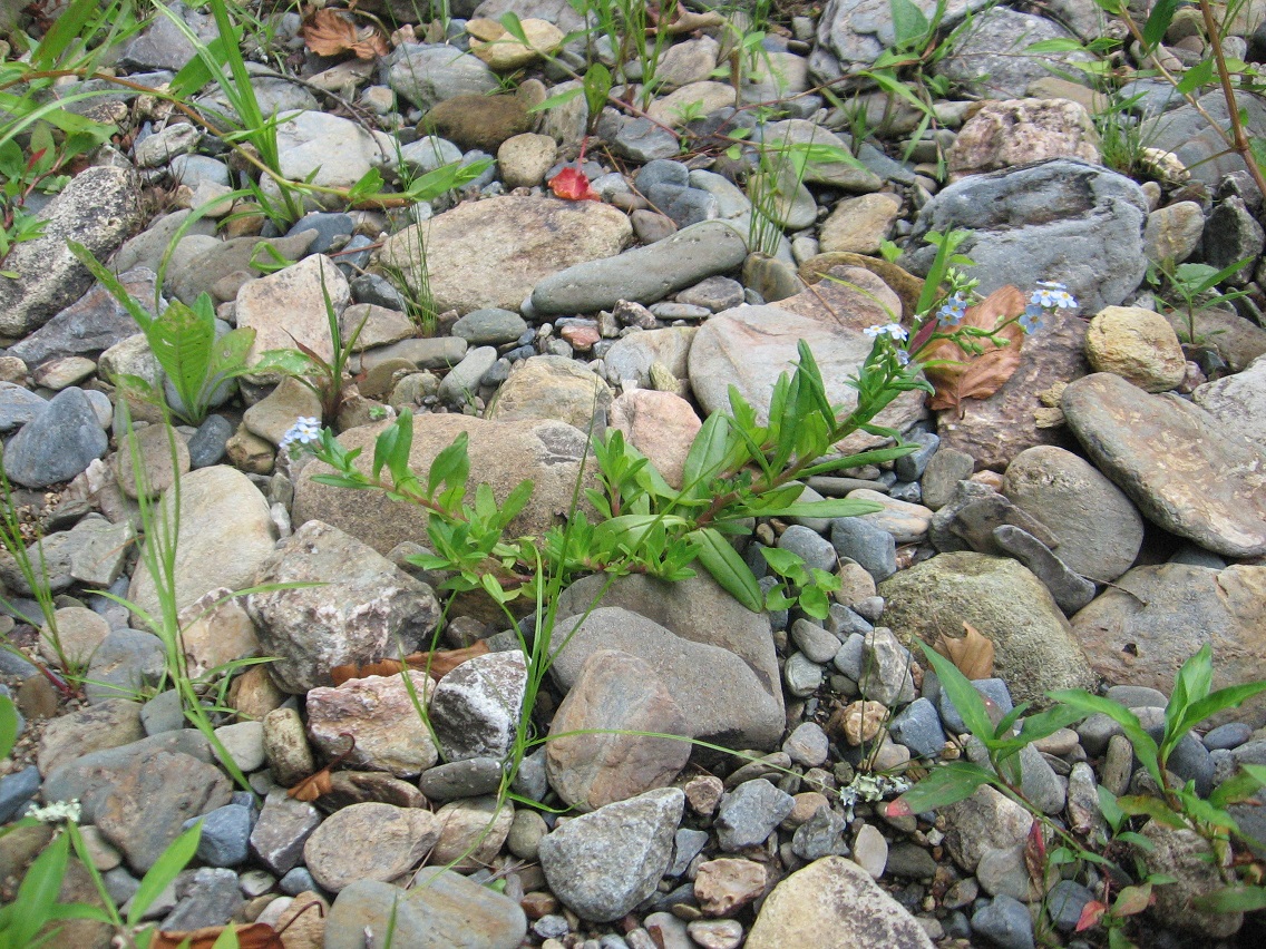
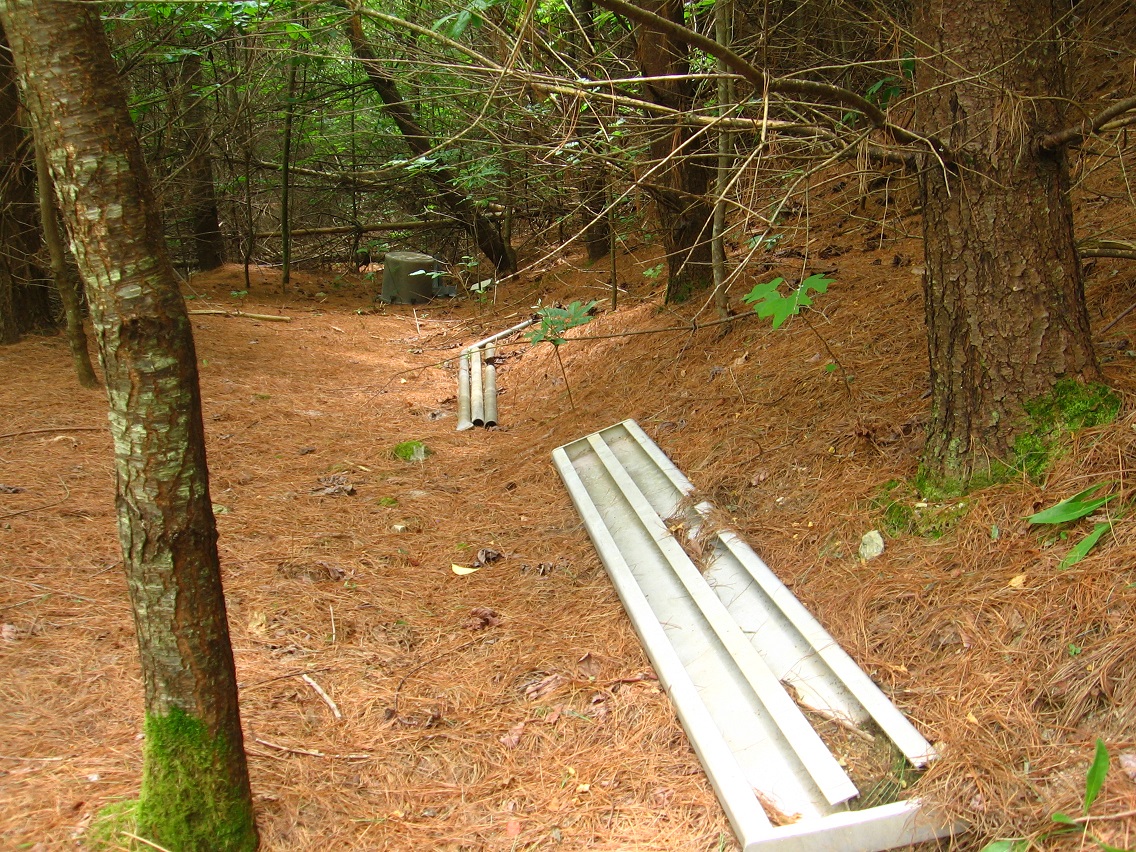
More objects found on Second Road to the south of Chesterton.

IMG_2406smaller

IMG_2407smaller

Leave a comment

Filed under BIGFOOT, Blue Mountain

Bigfoot Late June

Sometime in mid to late June, I found out I could safely cross Leola Creek on dry rocks at a place tentatively called “Port Leola” (Porter?), which is within the safe zone mentioned or defined in an earlier post. LINK

IMG_2252smallest

Below is pictured a new spot on the same creek, about a 100 feet or so upstream from the safe zone/Port Leola. Unnamed as yet, it’s an amazing cluster of higher rocks with its own internal topography, including peaks, pools, islands, waterfalls, and gorges.

IMG_2261smaller

IMG_2266smaller

IMG_2277smaller

IMG_2283smaller

IMG_2286smaller

IMG_2289smaller

IMG_2294smaller

The meat of the rock cluster, with a small falls toward the bottom.

IMG_2304smaller

Graffiti at a nearby bridge over Leola Creek. This is Leola Creek Road.

IMG_2314smaller

Underneath the bridge.

IMG_2321smaller

It was only a short walk up Leola Creek Road to Hand Lake. The Finger is still present on the large island of the lake.

IMG_2332smaller

Looks like someone has moved in some larger rocks for unknown reasons.

IMG_2334smaller

Small blue flower on the island, possibly a variety of bluet.

IMG_2339smaller

I end this post with a couple of pictures snapped at the Plateau of Raw Art, once more.

IMG_2345smaller

IMG_2346smaller

Leave a comment

Filed under BIGFOOT, Blue Mountain