Category Archives: *REALITY

First/Prime 03

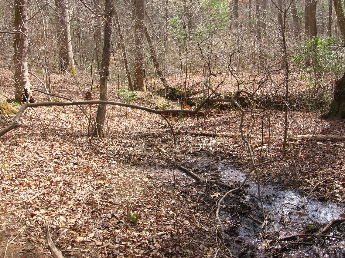
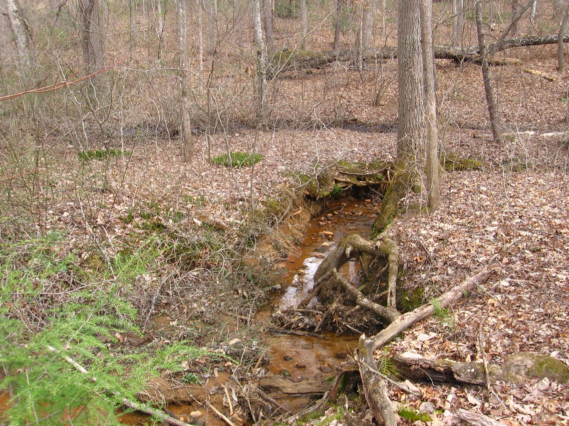
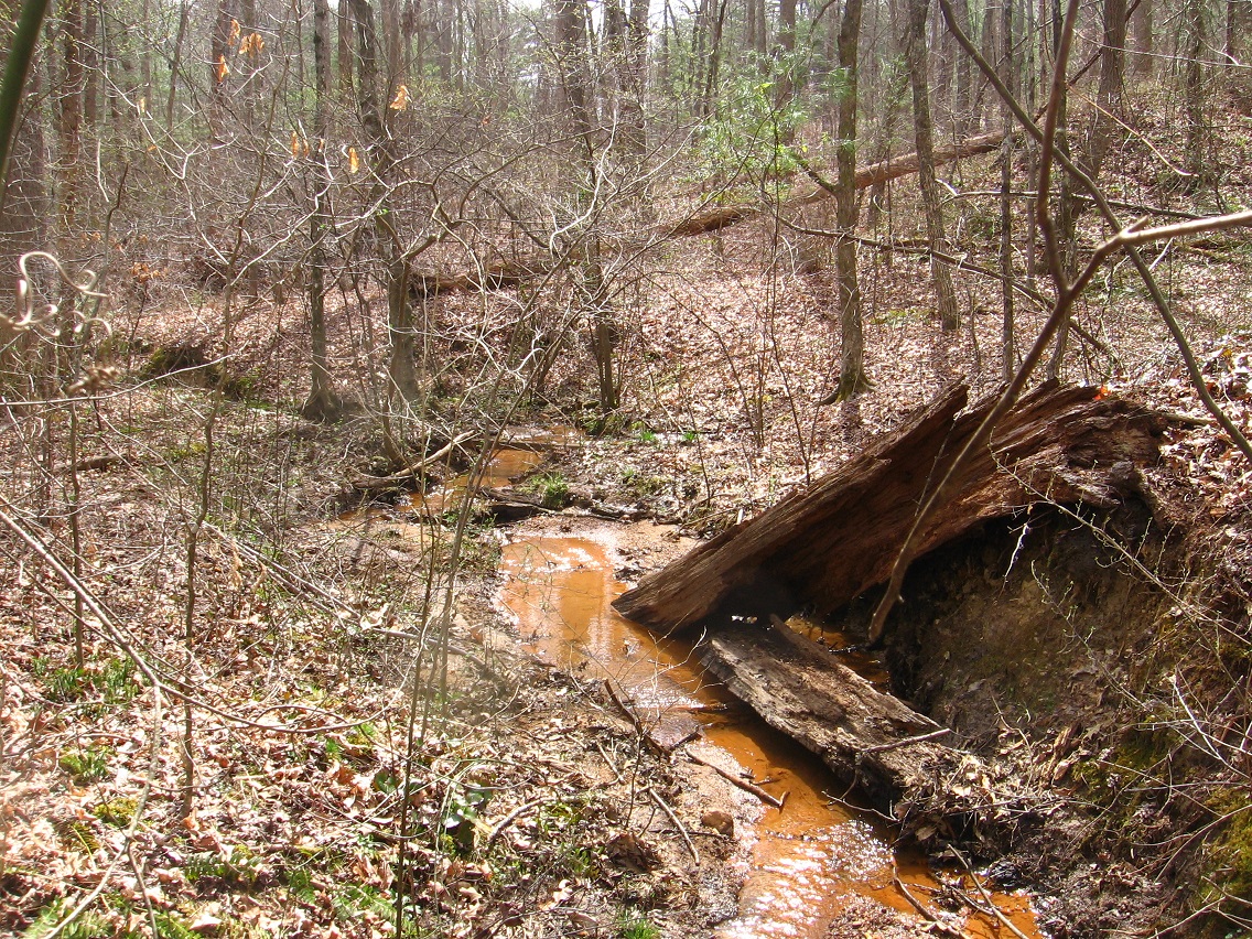
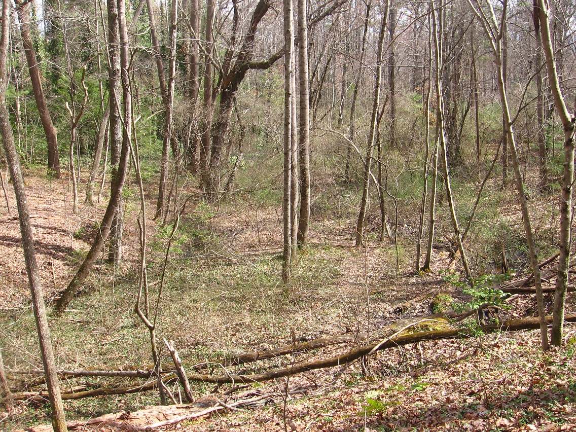
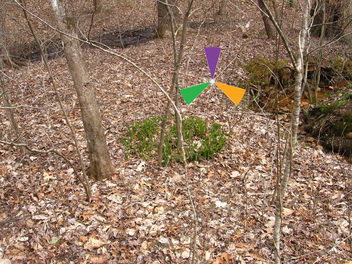
Secondary’s violet seep again, looking across it toward Prime Stream. The landmark circle of plants which I think is club moss now can still be spotted in the background.

IMG_1477smaller

Suspiciously rounded knot on a nearby log.

IMG_1479smaller

Reminds me of a globe. Does it stand for some kind of world, perhaps of alien source?

IMG_1480smaller

Dune_Movie_GiediPrime
Giedi Prime from David Lynch’s “Dune”

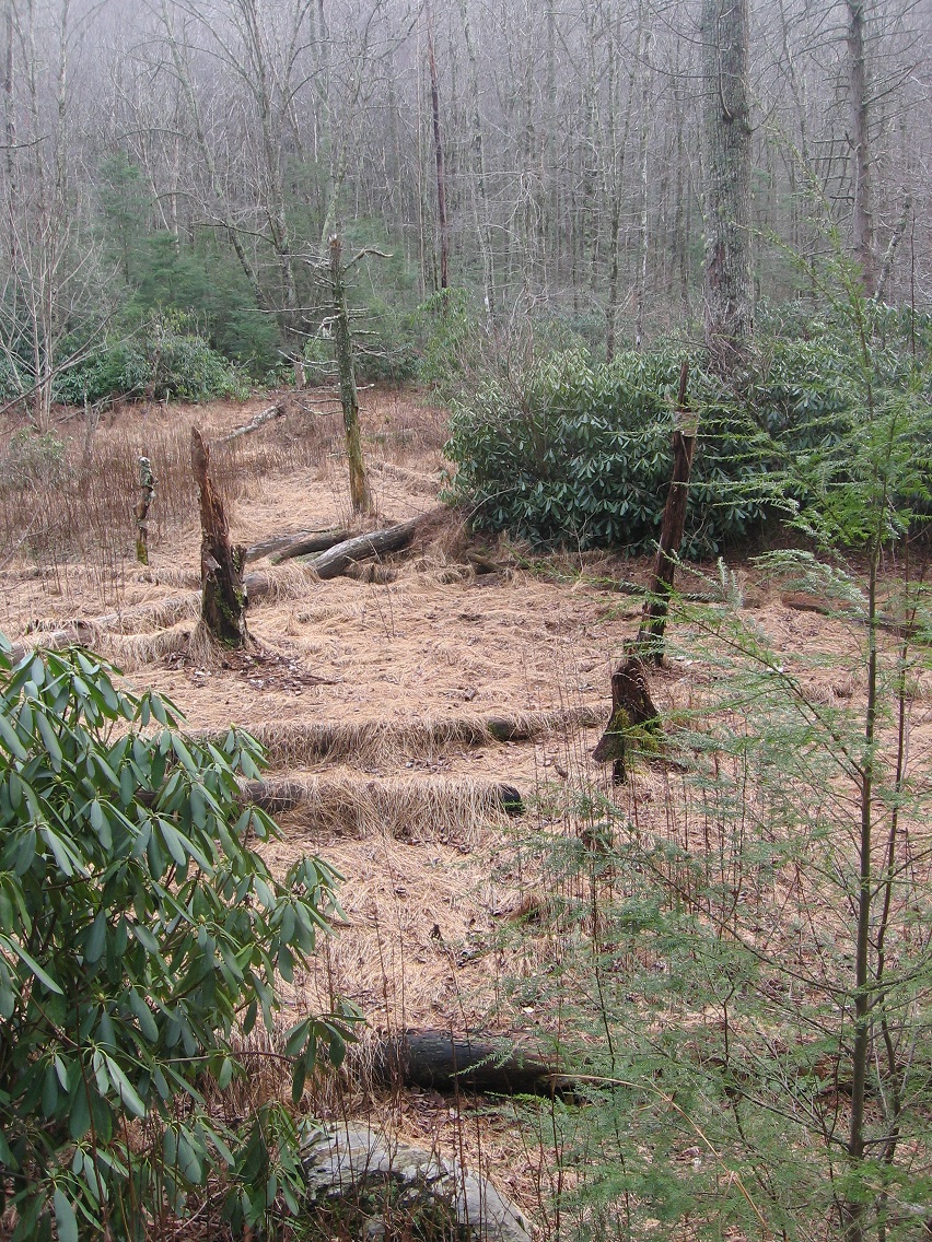
And then we come to the mysterious bare spot next to the still unnamed violet seep, very golden in color. There’s no other such cleared spot that I could find in this forest — unique, then. Good news: I will probably get to visit Middletown and this area again on Saturday, and will have more pictures to share after that. Yippie! Expanding this new mythology is so much fun.

IMG_1481smaller

Looking south over the seep toward Prime Stream.

IMG_1482smaller

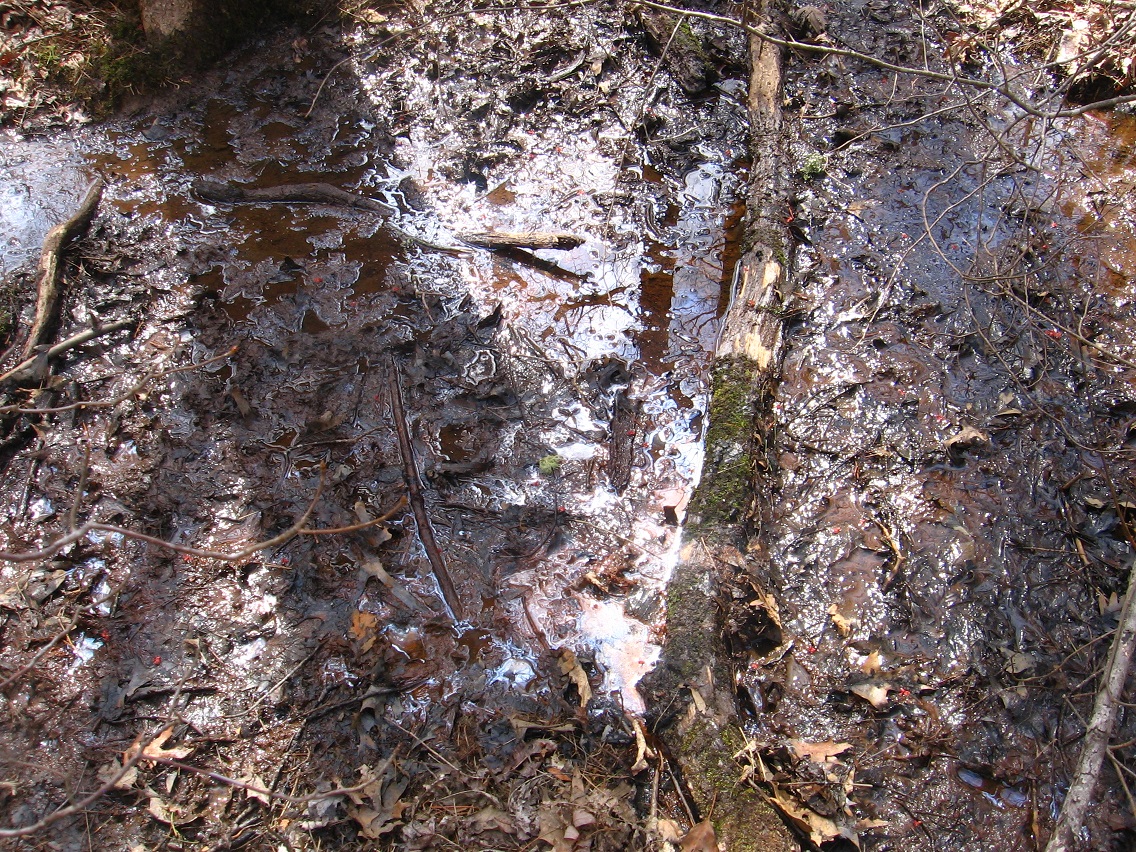
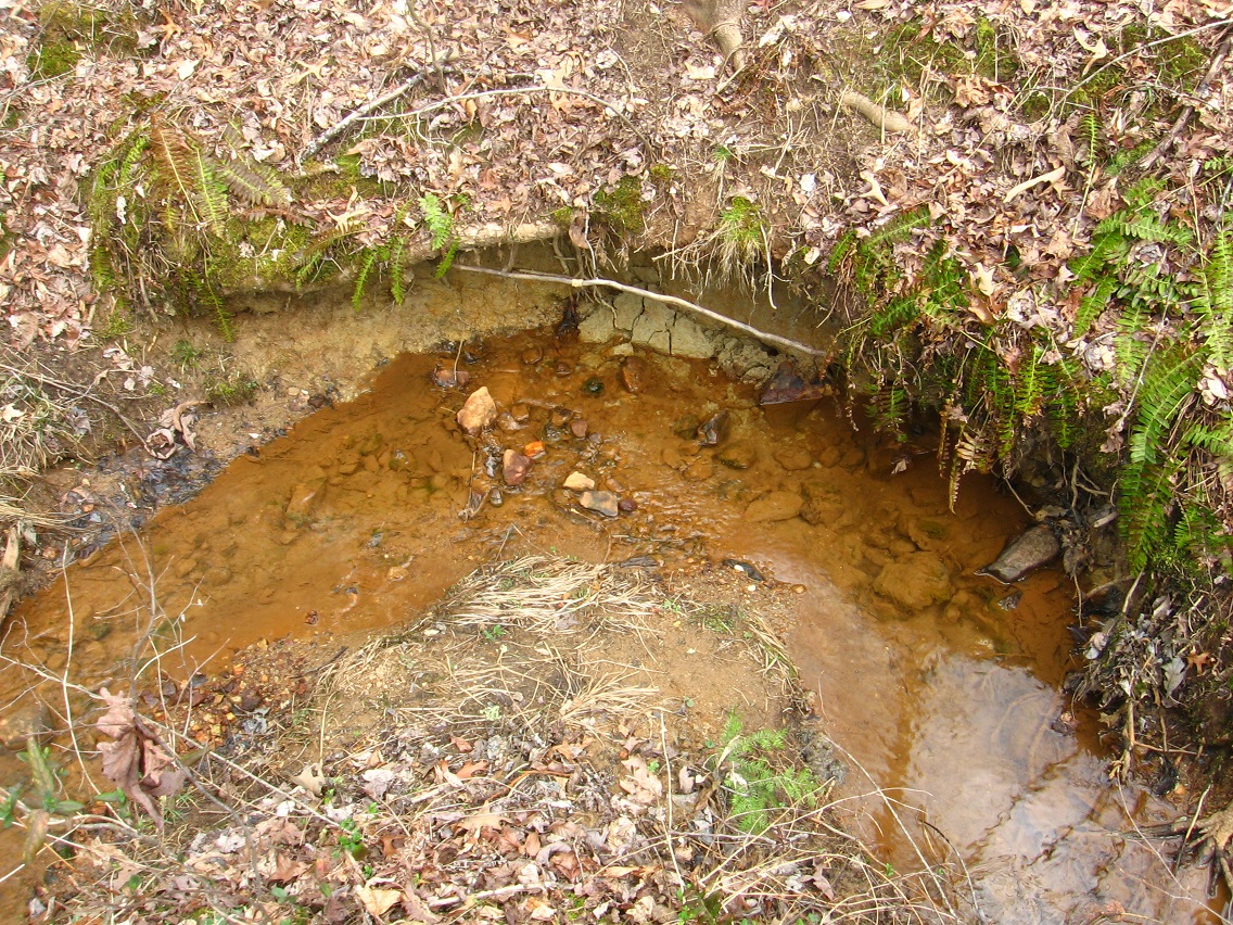
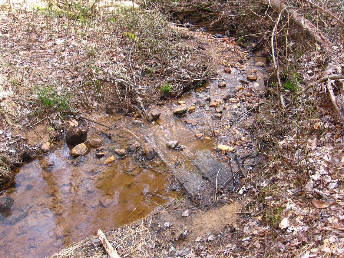
Details of seep. Perhaps hypnotic in design. Perplexing color and textures up close. It appears violet but then it’s also orange-brown?

IMG_1483smaller

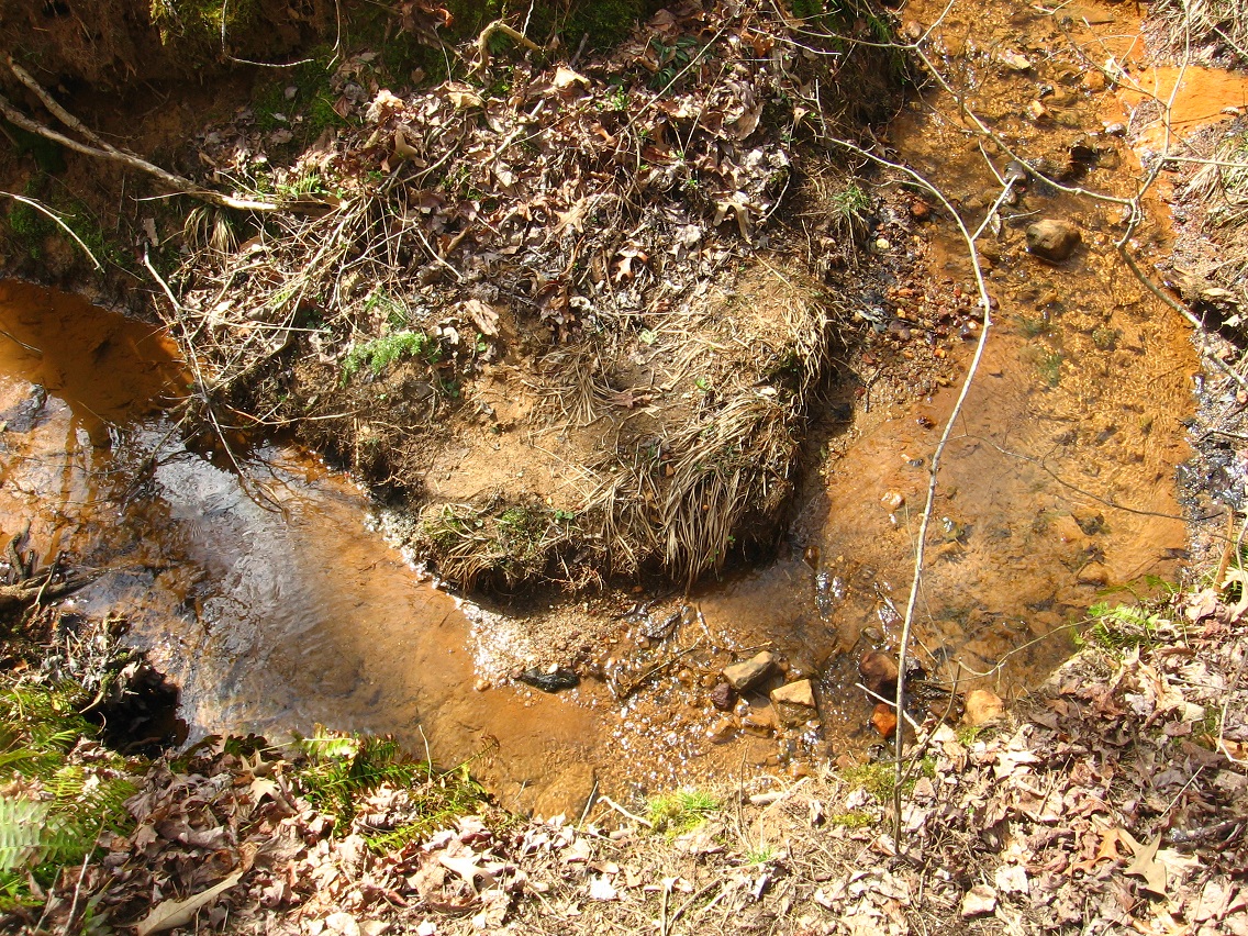
A brick appears on the edge of the cleared space, also colored brown like the ground. Why so? And does it represent a *dwelling* place, like bricks did in the Fall 2015 toy happened I named Bigfoot, most prominently for star Taum Sauk?

IMG_1488smaller

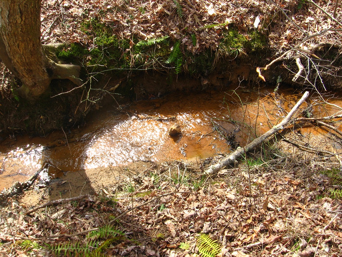
Another picture of that ford I mentioned in the First/Prime 02 post.

IMG_1491smaller

Obviously many mysterious remain to be uncovered about Secondary, but for now we must move on…

IMG_1492smaller

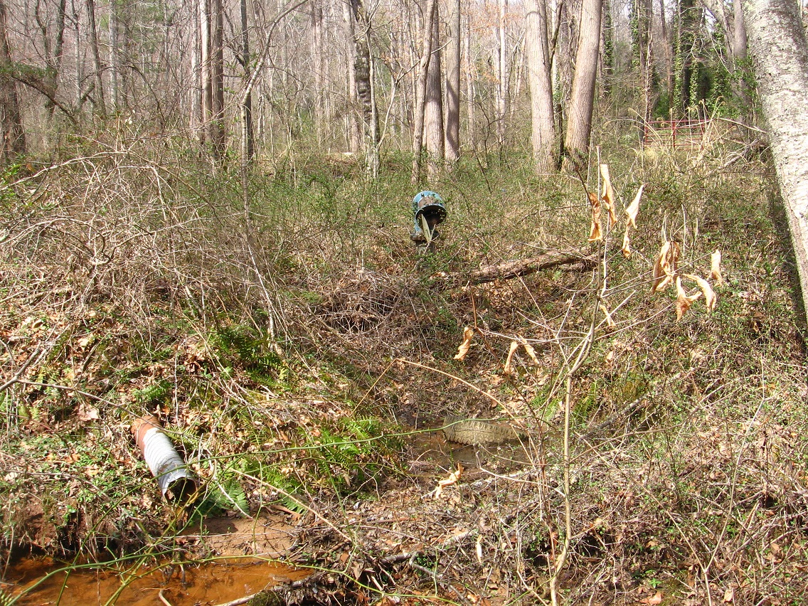
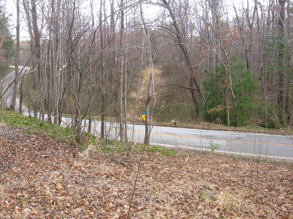
Here’s a shot of the most central bridge crossing Prime Stream a bit south of what I’ve defined as Secondary, with the attached path still being used as a bike route by locals. The path essentially bisects the First/Prime area into north and south regions. My educated guess is that bike paths use to be more extensive in the area.

IMG_1493smaller

Leave a comment

Filed under Middletown

First/Prime 02

Then we move across Grassy to Secondary, which lies within and also beyond First/Prime. How beyond? Much like the secondary color triad lies both within and beyond the primary triad. Primary *creates* Secondary, as a son/daughter. Internal triangle. So I’ve decided that will be the name for this subregion for now: Secondary. It is featured in what might be the “Bogota 01” collage pictured in preliminary form at the end of this slightly future post. 🙂 Interpretation, thus, to follow, but I’m not sure “Bogota 01” is yet finished. I’m going to treat this collage series a little different from others, perhaps.

IMG_1446smaller

Main green circle (front) mirrored by a second green circle behind it. Represents Green in general. Grassy and Green. Green, green grass of home, etc. Orange Prime Stream is in front of it from this angle. This is near where the Arab-like alien Oglethorpe emerged from this tributary of Grassy and became something else in 1930. Pluto is born, a homeworld. Oglethorpe meets Emery, the green or at least olive representation of Grassy. Between them they create the White Rock or, better, White Stone, which *could* be the same as “Collagesity Winter 2015-2015″‘s Moon of Moon, which becomes the primary Moon in the end. It is squaring the circle (of the moon). It’s lots of things. Moving on…

IMG_1447smaller

A nearby bend in Prime Stream that seems to indicate a natural ford into Secondary.

IMG_1449smaller

Detail of ford.

IMG_1450smaller

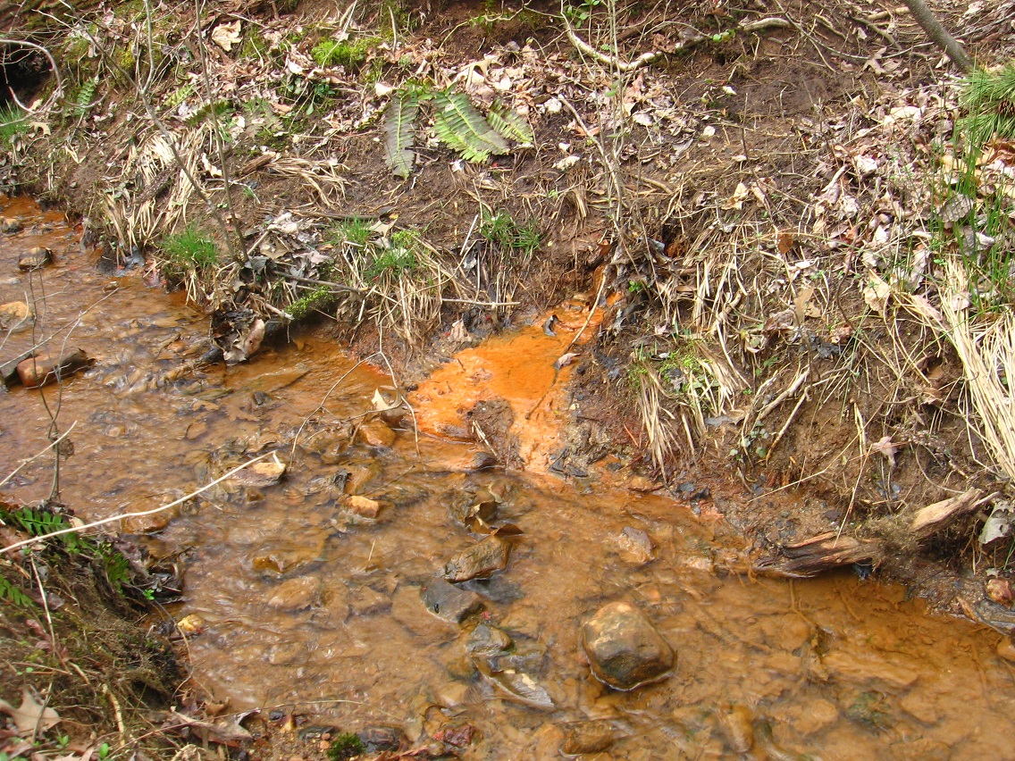
Again, Secondary is a combination or fusing of the 3 secondary colors of green, orange and violet. The seep that runs underground into Prime here is the violet part, and appropriately colored. But, ironically (?), the only obvious place I could find where it runs into Prime is colored more orange than Prime Stream itself…

IMG_1451smaller

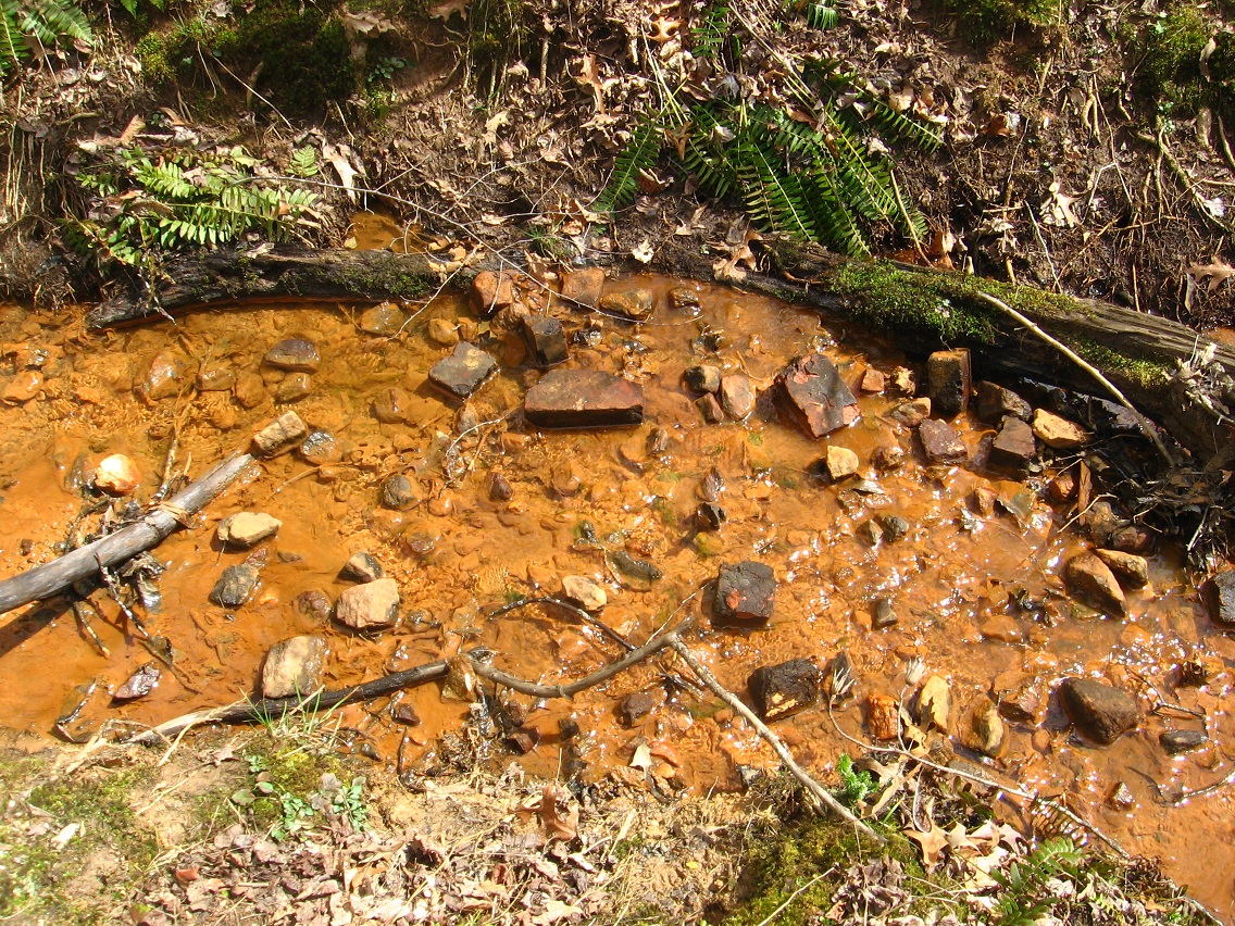
And if we look closer at this seep, we see streaks of orange as well inside the dominating violet or dark purple.

IMG_1456smaller

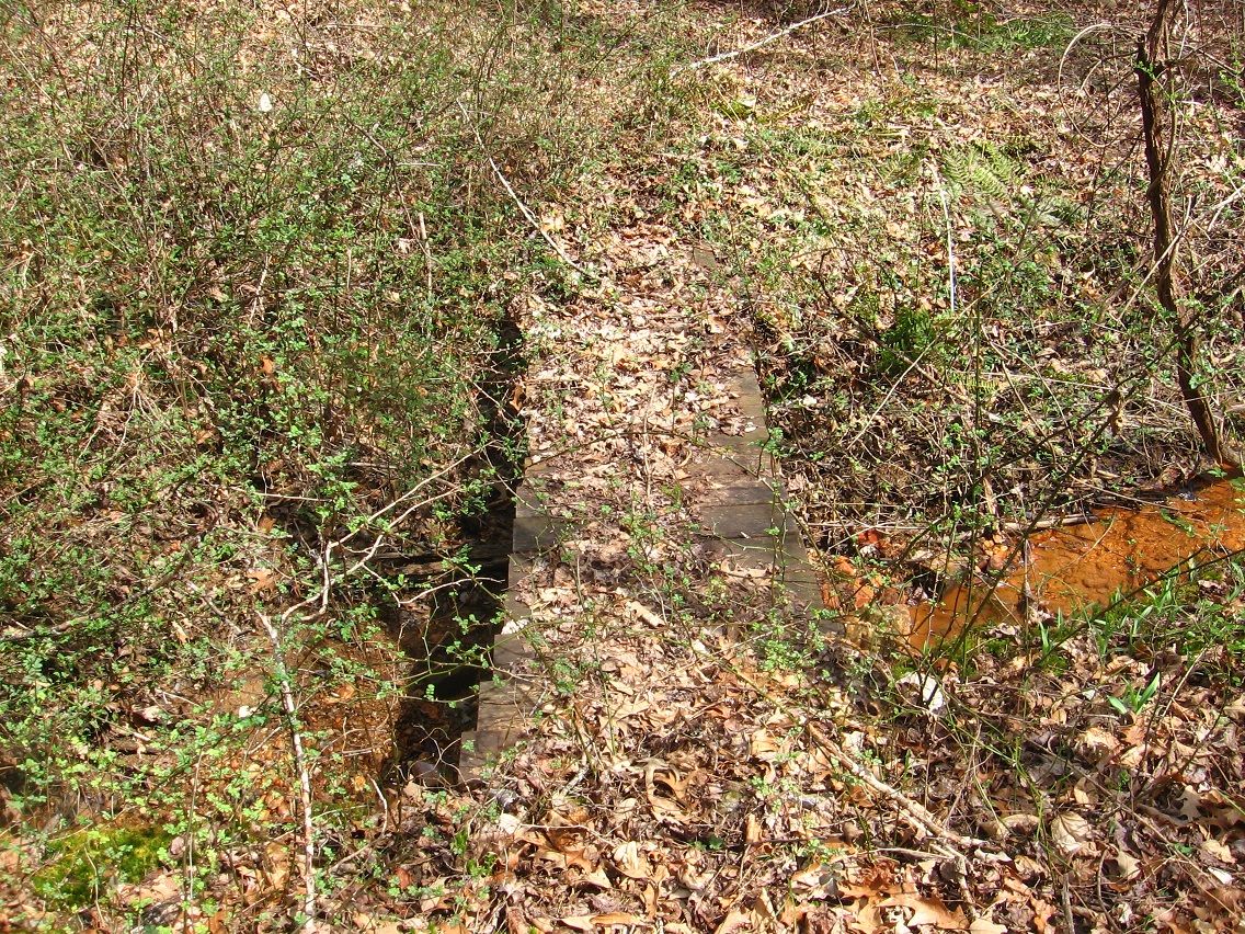
On what could be the more western end of Secondary appears this bridge made from a piece of lumber. It really serves no functional purpose. The small creek can be jumped at many places without the aid of a bridge in this location. But, like I said before, there are many bridges over Prime Stream, some of which serve a current function and others obviously not doing so.

IMG_1460smaller

And below we have an example of another ford, with bricks protruding from Prime Stream in this location. Was there once a *brick* bridge at this point? I can’t presently wrap my brain around this creek. It contains deep mysteries, but of a different current than the ones I’m more use to in Blue Mountain (current home).

IMG_1465smaller

Western Secondary.

IMG_1466smaller

A larger Secondary bridge I’ve already taken a picture of for this blog LINK.

IMG_1467smaller

And then the end of Prime Stream at Upper Grassy, before it passes under same to reach that more swampy area across the road which seems to represent the brook’s true source (Ivy Marsh?).

IMG_1468smaller

Grassy + Ivy make Gravy?

gravy4

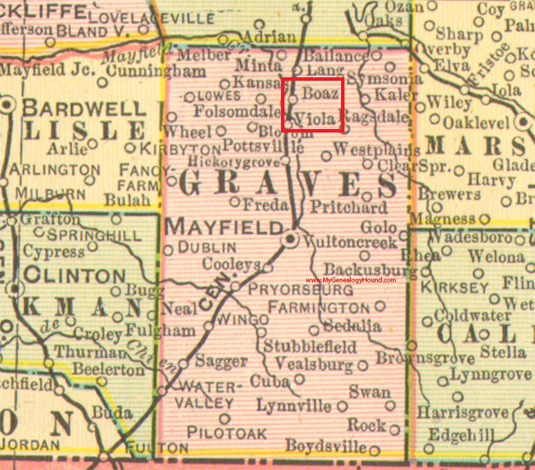
ky-graves-county-kentucky-1905-map02

1 Comment

Filed under Kentucky, MAPS, Middletown

First/Prime 01

I returned to the First/Prime stream area this past beautiful sunny March Saturday. I found out more. Below we have where the First/Prime path crosses Greenway, and right on the Bentmore-Future Home line as mentioned previously LINK. A set of rocks mark the path on either side of Greenway.

IMG_1409smaller

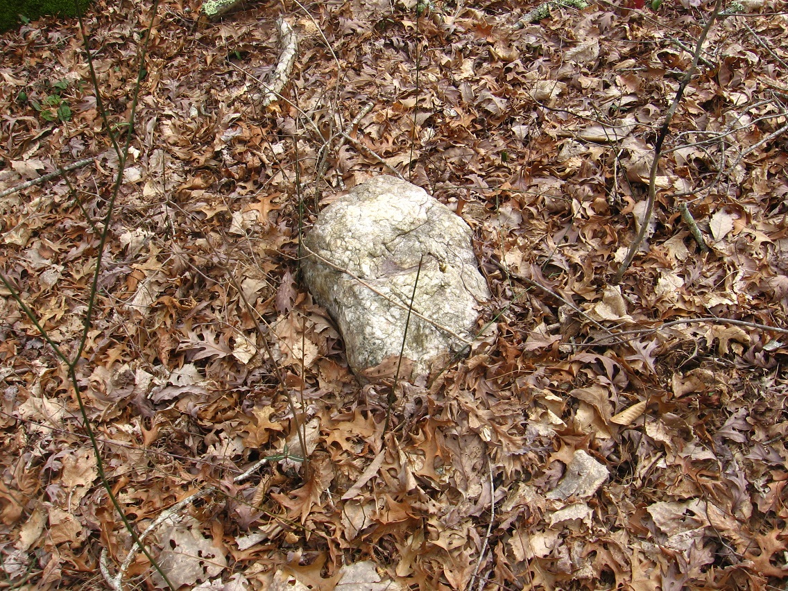
Many more rocks dot the area, including a more interesting one pictured below. Probably soon enough I’ll have names or at least exact locations on a map for all the prominent rocks of First/Prime.

IMG_1423smaller

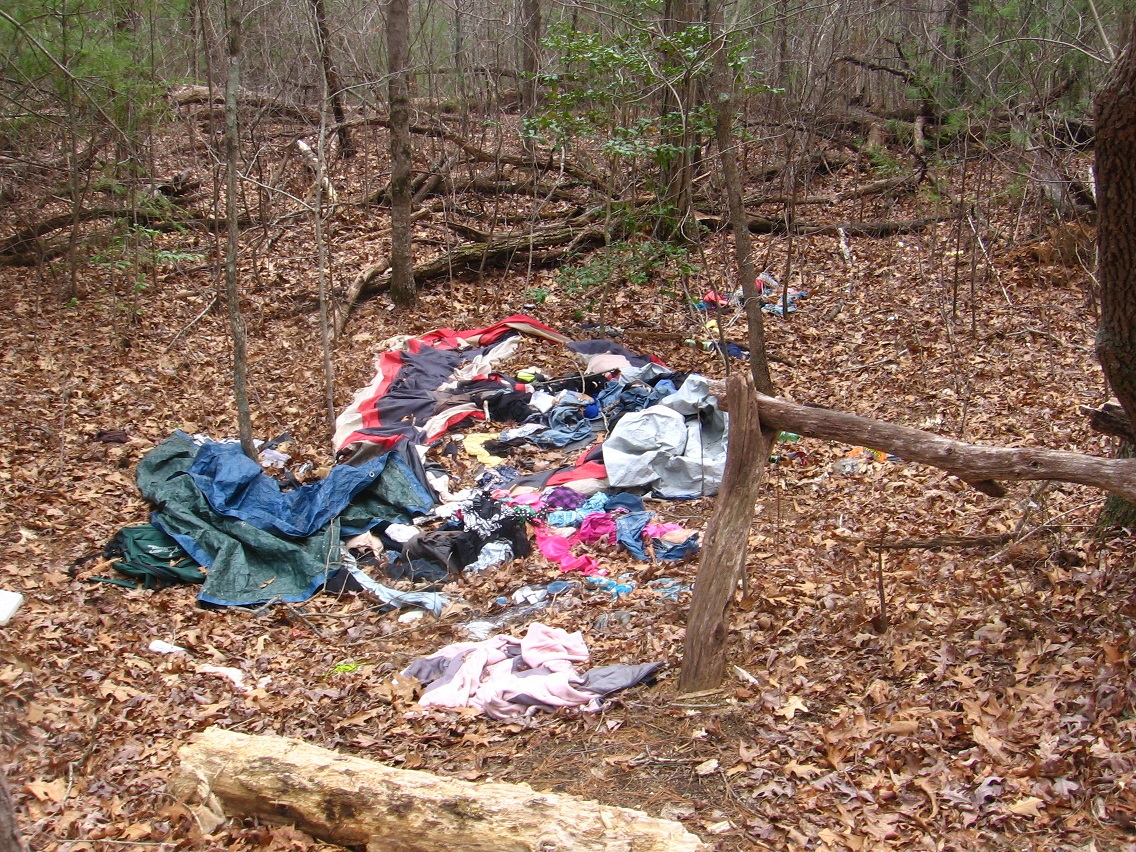
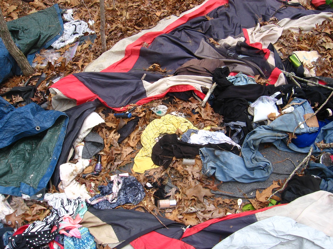
There are or were obviously squatters in the region. This is the second (and larger) former (?) campsite I found along or near Greenway. The homeless population of Middletown is a large problem, not the least for me and my woods prying ways. I seem to know *exactly* where their camps are. I *think* like the homeless; are in sync with them in terms of hunting for places in the woods and wilderness. I might just have to make friends with some of them. I’m also thinking that graffiti artists are camping in the area at times. Might run into them some too. Will have to deal with that as well.

IMG_1428smaller

I will reinforce: the place of this campsite is a *point of power* in the region. The camp seems abandoned. Do I create a cleanup? Does this represent legitimate “junk” that I can make an art happening with? These are the questions I am facing. I have to make new happening rules to conform with different Middletown energies.

IMG_1429smaller

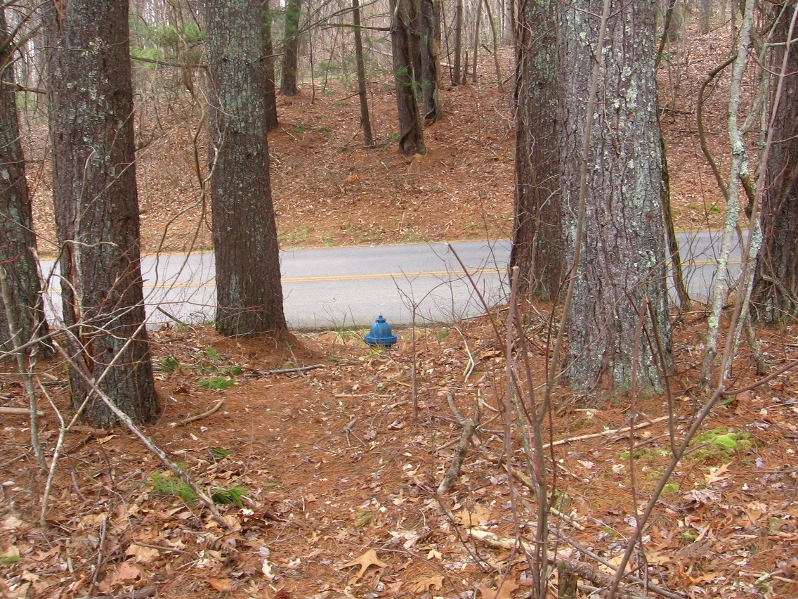
Greenway intersection of another (higher elevation) path running into First/Prime.

IMG_1433smaller

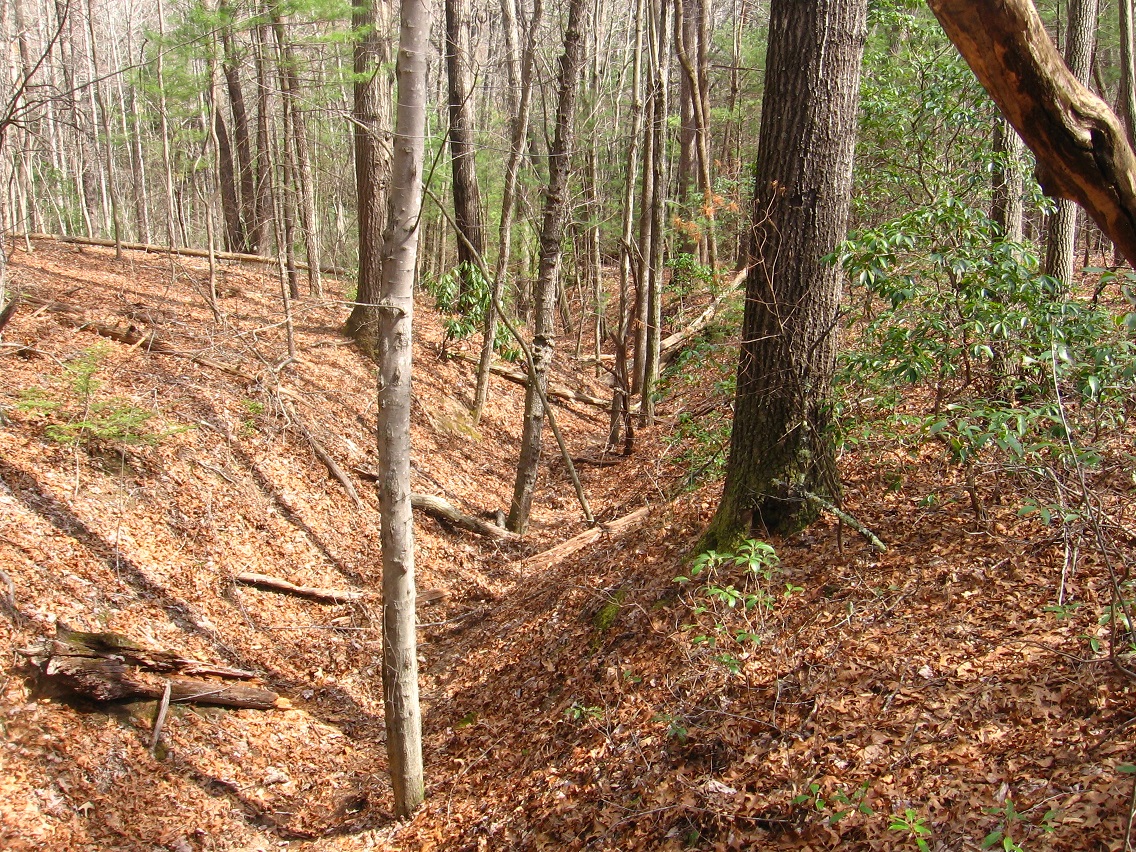
Interesting ravines and old roads are multiple.

IMG_1435smaller

Other objects dot the area.

IMG_1437smaller

Below is what appears to be a more swampy source of Prime Stream, beyond Grassy (road) and what I had explored several days before. Much ivy is in the area, but not, at least presently, the poison variety. Ivy ivy, the good kind.

IMG_1439smaller

This is Grassy where Prime Stream passes under it to snake toward the intersection with First Stream about a 1/4th of a mile beyond.

IMG_1443smaller

Another rock.

IMG_1445smaller

Leave a comment

Filed under Middletown

Grassy

asheville10

asheville11

asheville05
Greenway

Bentmore-Future Home line passes directly over Greenway here where it intersects path leading to Prime/First Stream area via Grassy. In this location, Grassy and Greenway act like concentric circles. Future Home = center?

Grassy (all):

grassy02

http://aqua-teen-hunger-force.wikia.com/wiki/The_Plutonians

AquaTeen_vol2_plutonians

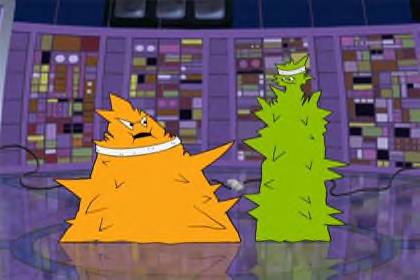
The Plutonians are two jagged-shaped aliens from the planet Pluto or beyond Pluto.
Contents[show]
CharactersEdit

Oglethorpe (voice of Andy Merrill), the leader, is the obese, orange-colored one who usually comes up with their “plans” for World Domination. Emory (voice of Mike Schatz), his tall green sidekick, who was explained to be partners since college, hooked up by a computer, is the tag-along of Oglethorpe, and usually the one to know when things have gone sour. In “The Last One,” Oglethorpe mentions that he went to high school with Ignignokt, mentioning some kind of incident on the bus. Despite this, the Mooninites think that “Plutonians are teh suck”, which started Spacecataz. The Plutonians’ ship is also, incidentally, Uglor’s ship from Space Ghost Coast to Coast. They can be seen in Master Shake’s pinball machine in Eggball.

TriviaEdit

They are named after the two universities in Atlanta, where Williams Street created Adult Swim.

https://en.wikipedia.org/wiki/Mount_Oglethorpe

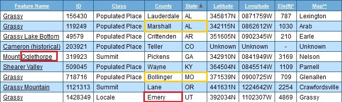
Mount Oglethorpe, the southernmost peak in the Blue Ridge Mountains,[2] is located in Pickens County, Georgia and was the southern terminus of the Appalachian Trail from when the trail was completed in 1937 until 1958. In 1958, as a result of over development around Mount Oglethorpe, the southern terminus of the Appalachian Trail was moved about 20 miles (32 km) to the northeast to Springer Mountain. Mount Oglethorpe is considered by some to be a more dramatic mountain than Springer Mountain, but the construction of a gravel logging road on the mountain and the development of a number of pungent chicken farms along the route, contributed to the move.

Until 1930, Mount Oglethorpe was called Grassy Knob, but the peak was renamed Mount Oglethorpe in honor of James Oglethorpe, the founder of Georgia.

https://en.wikipedia.org/wiki/Pluto

Pluto was discovered by Clyde Tombaugh in 1930, and was originally considered the ninth planet from the Sun. After 1992, its status as a planet fell into question following the discovery of several objects of similar size in the Kuiper belt. In 2005, Eris, which is 27% more massive than Pluto, was discovered, which led the International Astronomical Union (IAU) to define the term “planet” formally for the first time the following year.[14] This definition excluded Pluto and reclassified it as a member of the new “dwarf planet” category.[15]

Bottom line: Both the (southern) terminus of the Appalachian Trail and our planetary Solar System were shortened by the exclusion of Mt. Oglethorpe and Pluto respectively.  Mt. Oglethorpe changed its named from Grassy in 1930. Pluto was discovered in 1930. (Aqua Teen Hunger Force’s) Oglethorpe is a Plutonian. He’s recently been seen in Collagesity starting here, and directly replacing a grassy colored Karoz at the bottom of Confluence Pool who may realize the same here (?).

Arab:

arab01b

Arab is a way to focus Grassy. Means “Foreign One” or perhaps “Alien”, like a Plutonian.

secondary03
Grassy > Oglethorpe in 1930; Birth of Secondary Triad beyond [Prime/Primary]

Leave a comment

Filed under Alabama, Georgia, MAPS, Middletown, Missouri

Blue Mtn.>Middletown (Again)

Development is occurring on the Middletown mythos again. This is the place we’ll most likely be spending our retirement time starting in 7-10 years. Probably more like 7, actually. I had several nice Middletown hikes both this past Saturday (morning) and then again on Monday.

IMG_1317smaller

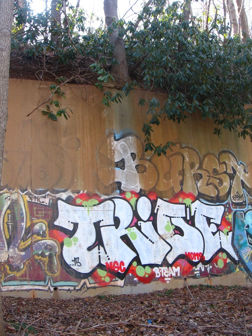
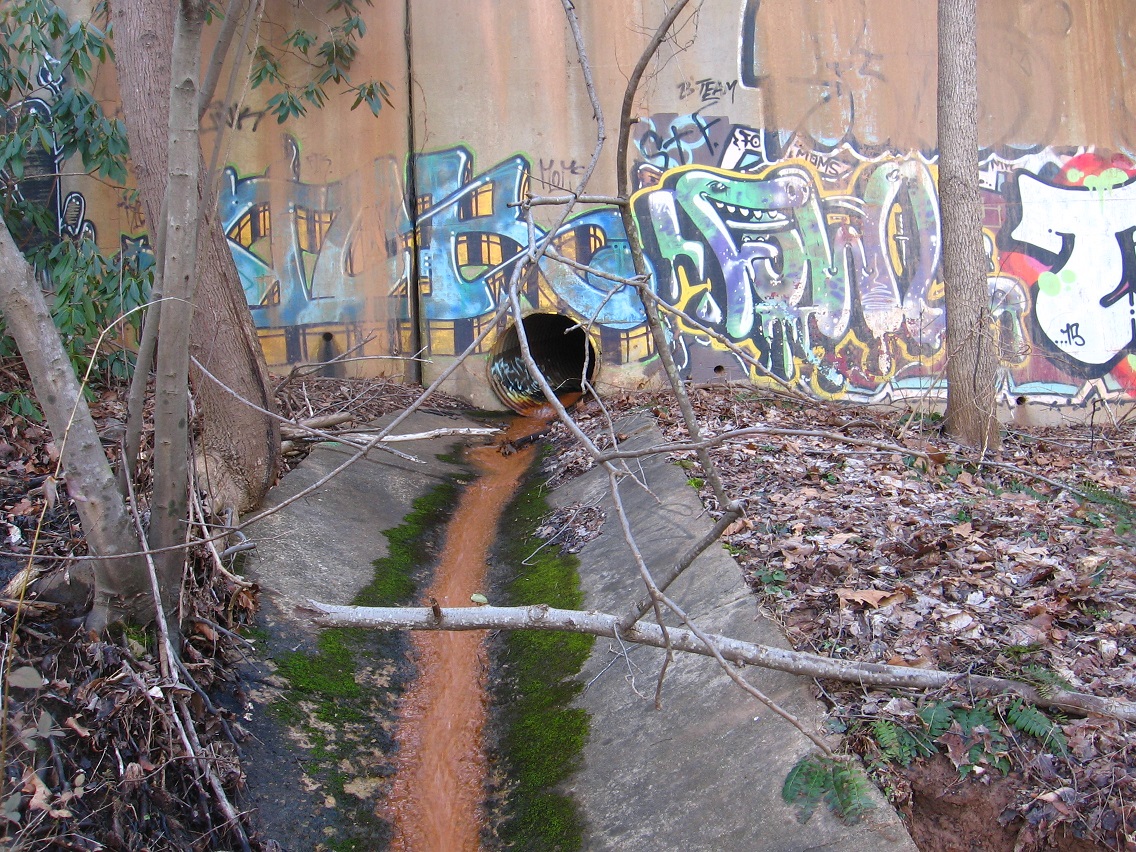
1st set of shots come from locations along a railroad about 1 1/2 miles south of Future Home. I do not yet have a mythological name for this area, but it’s probably coming. Along the rr I found a more heavily graffitied wall, naturally picturesque.

This kind of sums up the life of a graffiti artist, don’t you think?

IMG_1318smaller

Thick green strokes for this unintelligible scrawl.

IMG_1323smaller

Hobo graffiti ghost? Teaching smaller ghosts about the ethereal art of spray painting?

IMG_1325smaller

I see a number of “B-TEAM’ and “MOMS” on the wall.

IMG_1327smaller

IMG_1329smaller

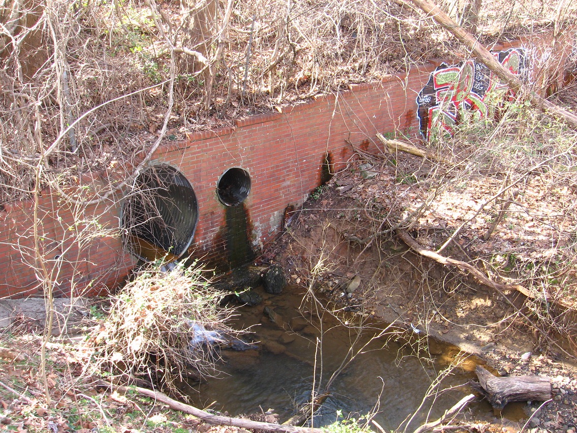
Another, lower wall along the rr. The creek running through here may be named Hemp, but not totally 100 percent sure of that yet.

IMG_1340smaller

Interesting underpass beneath Superhighway 30 which parallels the rr along this stretch.

IMG_1343smaller

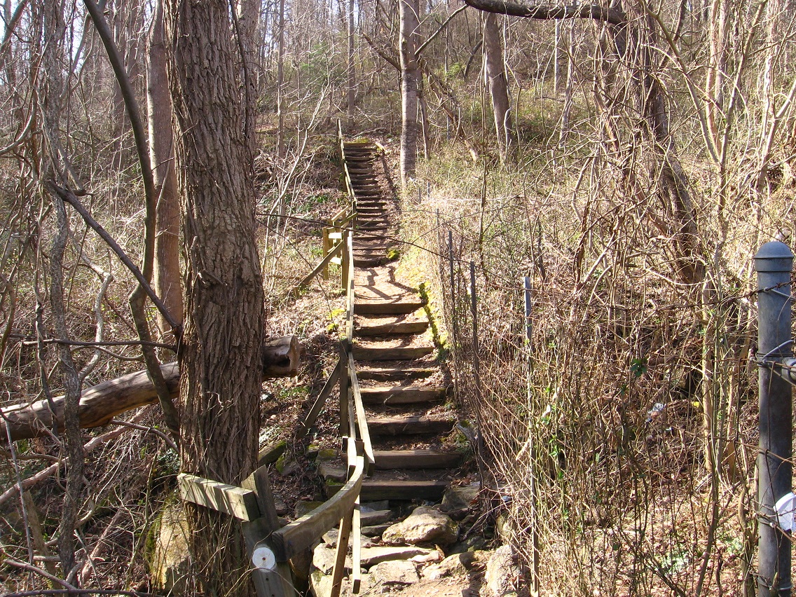
Stairs just beyond. This is an official trail along the Greenway. I should back up here and say that Greenway, Superhighway 30 and the Nowhere River conjunct at this place. LINK

IMG_1344smaller

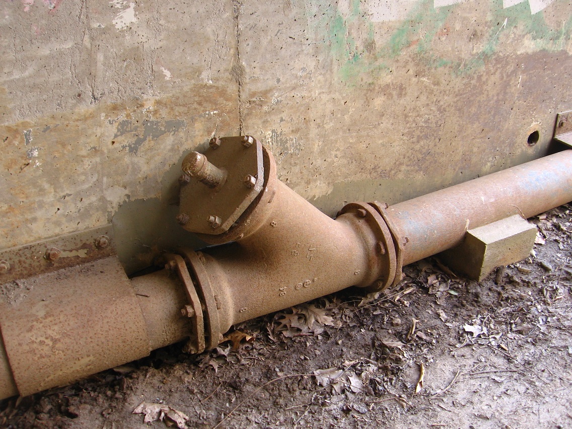
Underpass pipe with scrawl that’s suppose to be intelligible but still appears cryptic. Not graffiti, obviously, but sharing certain features.

IMG_1345smaller

—–

We now switch to a location considerably closer to Future Home, or what I’m calling First Stream or perhaps Prime Stream (Pream?). Actually there are two streams in the area that combine to form one stream at Upper Mossman Road. So maybe one is First and the other is Prime. So my thinking is that the closest to Future Home is First, and then the twin stream, more protected and hidden in the woods, is Prime.

The Greenway is also very close to First/Prime. A path connects latter to former, running by these more interesting and larger rocks.

IMG_1350smaller

Mysterious bridges span Prime and First at many places. I’ll certainly create a map asap.

IMG_1357smaller

There’s junk in the area. A considerable amount.

IMG_1362smaller

Head o’ Prime.

IMG_1367smaller

Another Prime bridge. Guarded by thorny bushes. Obviously not been used in a while.

IMG_1369smaller

Bricks in Prime.

IMG_1371smaller

Circle of green along Prime. Violet, green, orange actually. More on First/Prime soon!

IMG_1378smaller

violetgreenorange02

orangegreenviolet02

Leave a comment

Filed under Frank Park, Middletown, Whitehead Crossing

New Monkey City/New Sharon 02

In an alternate reality, the renegade or rebel space travelers from Sharon province of Wazob of Mythos planet *did* make it into the heart of Whitehead Crossing and established their base at Edward’s Stone. All kinds of evidence for this, a predominant example being the Green Turtle formation (Green Turtle was a city in the Edwardston metro area of Mythos). And of course Grey Seal, or Grey Rock + Seal Stone, is also directly predicted in Mythos’ Edwardston’s related names through the nearby city of Sealston, not a part of Edwardston metro but in the same province. Sealston stands for Seal Stone, although, again, that’s not the origin of the name. Later I associated it with a Blue Mtn. artist named Seal that the wife also knew, I believe. I saw one of her works hanging in an office I visited about a year or two back while on official business at my job. The travelers mentioned are rebels because they identify with the concept of “yellow down” over “Greenup” championed by the Wazob unification supporters. Unification of Wazob (green) suppresses or absorbs Sharon (yellow), just like Eob did before with Wurme (lower octave).

Monkey City’s Pope Project is another symbol of destruction for Sharon. Nearby Edwardboro’s POPE (Wurme) is the regrowth of same in a newer, stronger form. The POPE is represented by a beanstalk, as it is shaped similarly. In an alternate US where US Grant was hidden away in a back pocket, the South and its rebels won the Civil War.

Rock Meadows in Gene Fade’s “Fade to Moss” sought out his creator Sinclair (The Maker). But when finding his grave, realized he no longer dwelt on this plane. He instead became Blue Skies Mr. way up in the clouds, with Whitehead or white hair. The concept of Whitehead Crossing is bourne. Whitehead is X-ed out because he is dead. When your hair turns white, you are edging towards death, the great beyond. Life not death is the great adventure? Anyway, Sinclair as Blue Skies Mr. became a deity to worship from beyond the grave. This is Jesus and God in one. The colors were set up: Green(head), Red (Head), Blue (Skies Mr.), and White(head X-ing). The colors were planted in [Washington Co.] Florida, along with Noru(m), a central device. An association between Florida and Maine is implied. A gateway to Monhegan Island also opened up near Edward’s Stone and the Green Turtle. Their woodland fairies entered Whitehead Crossing and interbred with the natives (there is record previously in this blog of at least one fairy entering The Crossing from the Maine island). The offspring could easily move between the 2 dimensions. A Monhegan Island artist found the portal and corrupted it. Whitehead Crossing natives learned a valuable lesson about the damage artists and their publicly fueled egos could inflict. They distanced themselves from other artists. They are still getting over this. One of their kind said: “I want to be an artist”. And they turned him away from it.

Rock’s Meadow on the eastern edge of Whitehead X-ing was sort of balanced by Mall Meadows to the west. Famous for its 5 sided mall and 5 shot lattes. 4 Sticks downtown area of 5 Bottles was in easy view. But Mall Meadows was not to be a place for human artists and their ego, no. The rebel native would not be allowed to help the human who desired such, no. You have to see the toys and their consequence. They come from the same place and that’s the dumps. They reinforce this to the youngster who desires to be like the human. You will sink into the pits, they said. No, you will not go down that path.

Mall Meadows was a great gathering place. Those from Red Head came from the east. Those from Greenhead to the north. Those from Whitehead were both there and in the west. The Blue people from above, a place beyond the tomb and the womb (The Eternals?). What formed from this overlap? 5 sided, we know.

Orange Hill (Florida) is yet another color to blend into The Crossing mix. Home, perhaps of Mr. and Mrs. Dundee and Castle Dundee, later turned into an art gallery (same as the Fal Mouth Moon gallery apparently).

Link between Whitehead X-ing and Monhegan Island comes through Little Whitehead, a rock formation in Maine and a small creek in my area. A former fairy bridge linking the two realms was seen spanning the creek several years back, but is now gone. I have photos, however, and the bridge (and its subsequent absence) is featured in the first Whitehead Crossing related collage of the Falmouth series (speaking of Fal Mouth Moon), collage 45 I believe.

Whitehead Crossing closed the portal between Collagesity and Nautilus City, and allowed the former to remain independent and not be absorbed by the latter.

Grey Seal is the *original* one thing on top of another thing. Could it also be surrounded by film?

Leave a comment

Filed under Frank Park, Mythopolis, Wazob, Whitehead Crossing

Whitehead Crossing, 12/31/15 01

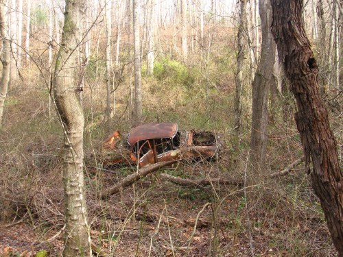
The first shot comes not from Whitehead Crossing but Ashville, where I hiked around about 2 weeks ago. I won’t say exactly where — oh yes, I do have a fake name for the hill I trekked up and down. It’s called Hemp Hill, a potential center for an Ashville mythology. I’ll have more on this knob soon enough; just didn’t want to lose track of the particular photo of it below in the meantime. More on Ashville in this blog here. And I haven’t written about it in so long I forgot *its* true fake name, which is Middletown. Maybe a talk with Carrcassonnee about Middletown is in order. I seemed to have summarized my interactions with it through the Embarras collage series of Jan/Feb *last* year (can’t believe it’s 2016 already!), which contains many images from that city.
IMG_1152smaller

Back to Whitehead Crossing, which I visited both Thursday (12/31) and Friday (1/1) for several hours apiece. And I might even return today and Sun. Of course, this particular area is heavily documented in both the present blog and the old Baker Blinker Blog, starting back in 2010 when I first explored it in general. There is little in the present pictures that hasn’t been documented before in terms of just photographing objects. But it seems when I go back I see things from a different angle, or, better, things *change*, almost of their own volition.

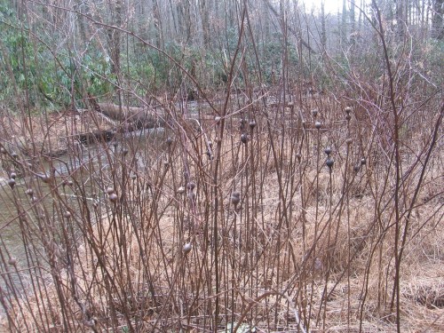
The first photo comes from the Korean Channel just south of Whitehead Crossing proper, depicting some bulbous weeds I thought interesting.
IMG_1162smaller

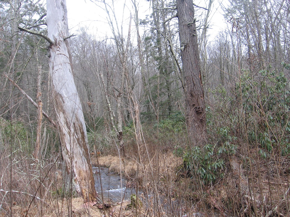
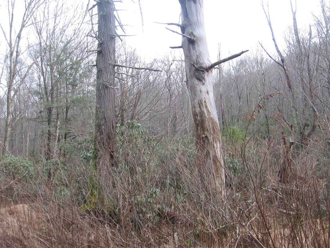
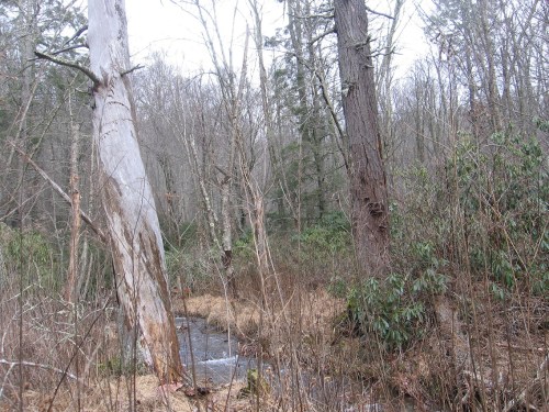
Then we move to the two giant, dead hemlock trees that mark a sort of gateway into the area, acting like Boaz and Jachin pillars in their dark and light coloring respectively, and positioned on opposite sides of The Crossing’s central Green Stream. This would be in the middle of about a 100 foot straight run of the stream I call, simply enough, The Straightway, which traditionally begins and ends with two islands (Rocky I. and Cresent I.). I say “traditionally” here because the composition, shape, and even locations of the islands can change over time.
IMG_1168smaller

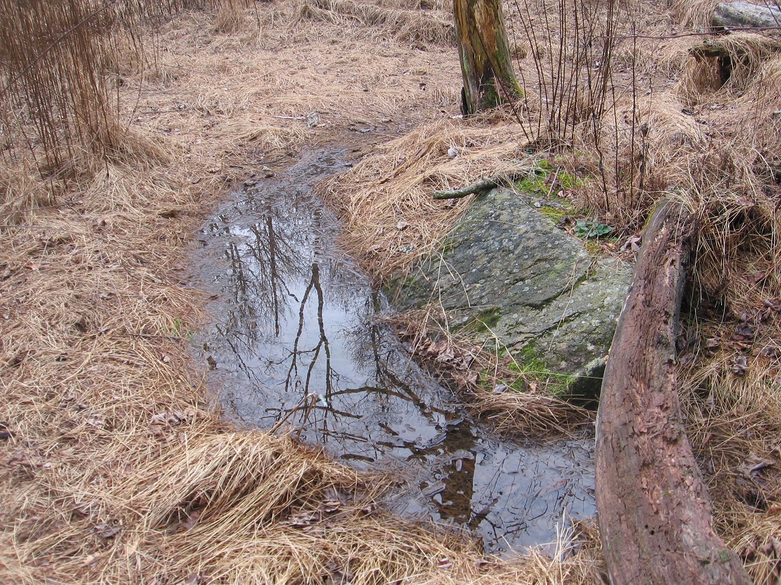
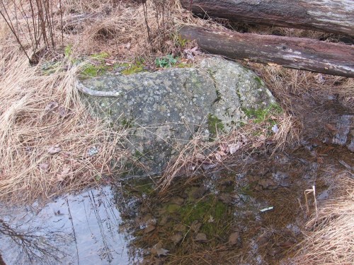
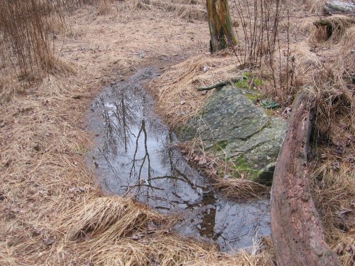
The depression below Crocodile Rock is filled with water. It’s rained quite heavily in Blue Mountain at times during the past week. But often when I visit Whitehead Crossing, it’s dry around this rock.
IMG_1169smaller

IMG_1170smaller

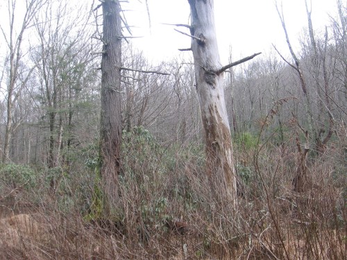
Another shot of the dark and light hemlock trees surrounding Green Stream.
IMG_1171smaller

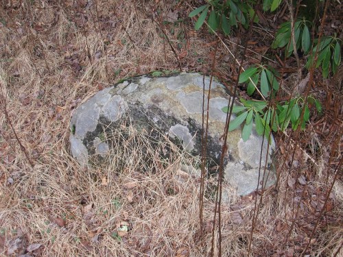
The Welcome Matt stone, which acts as a set with Crocodile Rock, along with another stone bordering Green Stream called Eagle Rock (I think). All 3 are about equal in terms of surface size, and also lie on the same general line approximately equidistant from each other. I’ll have to remember to take a measuring tape out there sometime to find exact distances.
IMG_1176smaller

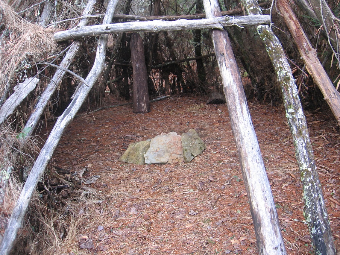
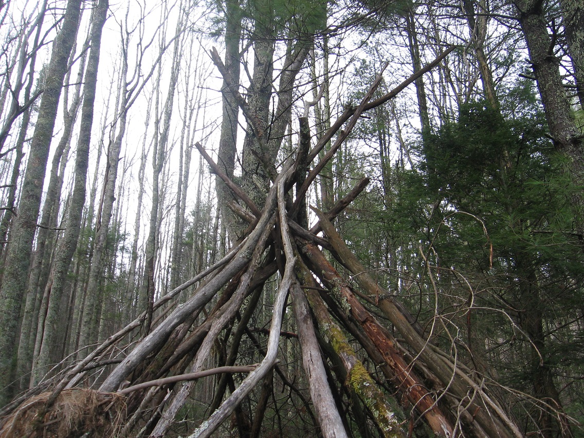
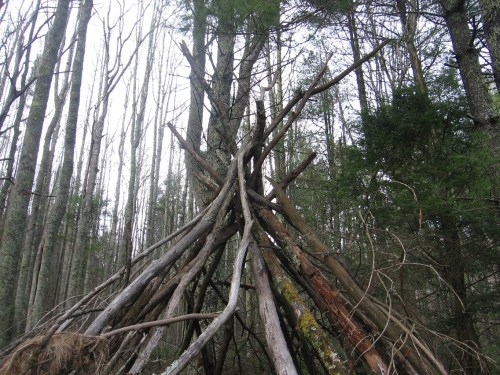
We step up from Welcome Matt, and what’s called Matland in general at the top of the Korean Channel, to revisit Whitehead Crossing’s stick teepee next, something built by the hands of unknown others just this past June. I don’t think the structure been used for much of anything since it was constructed, and certainly it was never weatherproofed. I initially feared that someone, perhaps a student at the local collage, would simply move in the teepee for the summer and perhaps longer. But it never happened, and now we just have a useless shell of a thing. I’ve even contemplated knocking the teepee down, but that might bring some kind of bad karma. You have to be careful about altering the nature of the area. The *builders* of the teepee might have “sinned”, but I didn’t want to compound their errors by making judgements of my own.
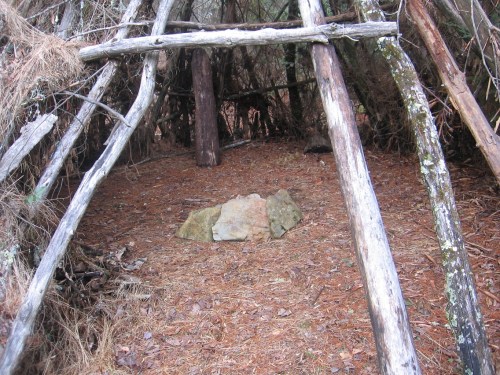
IMG_1178smaller

Second Life’s Spongeberg Resident, crazily enough, claims to have lived in this teepee for a period of time as well. In fact, I think he might still believe he stays there. Is it true? Again I’ll have to ask Carrcassonnee the next time we speak, perhaps later on tonight. She’s back from her trip to Nautilus City, as I understand.
IMG_1179smaller

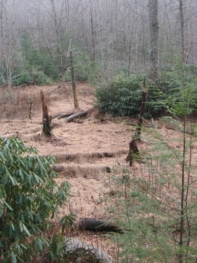
If Spongeberg in fact lives there, this would be his view across Matland from just outside the teepee. The 3 rocks mentioned before are basically in line with each other in this view, with Welcome Matt at the bottom of the photo, Crocodile Rock beneath the small, dead hemlock near the picture’s center, and Eagle Rock unseen beneath a stream bank in the background. I suppose this could be called Three Rock Line or The Line of Three Rocks, then.
IMG_1180smaller

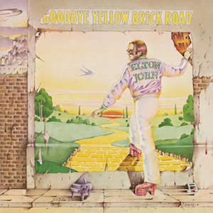
Stepping up from Matland and Welcome Matt into the teepee and Whitehead Crossing proper would symbolically be very similar to Elton John stepping up into the yellow brick road on the cover of his Goodbye Yellow Brick Road album.
Elton_John_-_Goodbye_Yellow_Brick_Road

Leave a comment

Filed under 0001, Frank Park, Middletown, Whitehead Crossing

Polly Beach

Rat Island, SC near Folly Molly Polly Beach and Charleston. Present centerpoint of budding, new mythology, bourne in the midst of unprecedented winter heat. This is where I hiked Sunday. This is where I doddled. Sand dunes.

ratisland01

Pirate Bluebeard Bluebird involved. Blackbird Rook Crow involved. We will see.

dead-parrot_London

Other Rat Islands…

New York:

https://en.wikipedia.org/wiki/Rat_Island,_New_York

Alaska:

https://en.wikipedia.org/wiki/Hawadax_Island

I was just reading about the latter the same morning I found the name Rat I., SC, through researching earthquakes in connection with fracking. Rat. I., Alaska is site of one of the largest earthquakes in US history. Charleston, SC is the location of the largest US earthquake east of the Mississippi River in the last 200 years.

Triangle, thus:

ratisland02

Leave a comment

Filed under Alaska, Charleston, South Carolina

11/1-2/15 Photos 01

The first pic in this post comes from Supersity over in Frank Park. There were a number of posts about this imaginary city-fort composed early on in the Frank and Herman Einstein blog, all from November and December 2012 as I’m now checking. Curious it hasn’t been mentioned here again since then. But anyway, now the 2 sets of rocks have a house polluting their top: no more possible Supersity re-creations or revelations. Compare with this earlier photo here. All we have are the legends of the place. The Sacred Hoop art work once adorning the top was a special site indeed.

IMG_0604smaller

We now move back to the general Bigfoot area with shots coming from a ridge separating Bigfoot from Rediscovery. Today I found an easier way to the top from the main path into Bigfoot. Excellent! It’s a short but still tough climb of about 150 feet. I found this baseball on the ridge. Due to its height, I believe the only way it could have gotten up here is if someone brought it. Although there’s an old baseball field below, one would have to had been a Herman Munster to knock it this far. So there’s clear evidence of human involvement with the ridge in the past. But I’m not sure anyone comes up here any longer.

IMG_0605smaller

Lots of nice rocks on the other side of the ridge from the old high school…

IMG_0608smaller

IMG_0621smaller

…with 2 of the biggest, if not the biggest, being one I call Razor’s Edge which we see the sharp namesake top of below…

IMG_0634smaller

IMG_0646smaller

IMG_0647smaller

… and another I call Flattop, which, in contrast to Razor’s Edge, has a nice flat top where one can sit and enjoy the view of the surrounding woods. Flattop is probably the most dramatic looking rock in the region, and is especially impressive coming up to it from below.

IMG_0648smaller

IMG_0651smaller

IMG_0658smaller
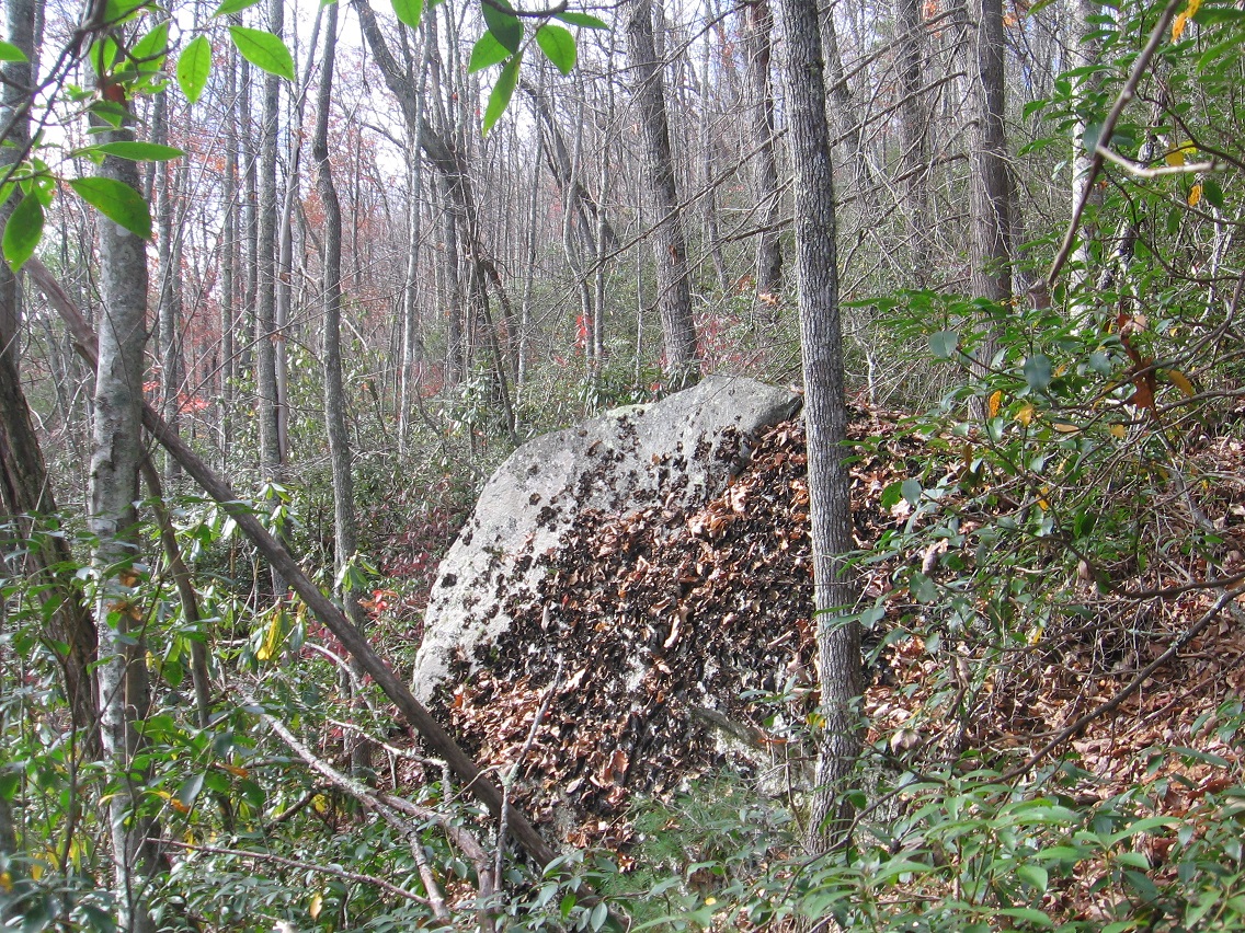
Flattop’s flat top in autumn leaves.

Leave a comment

Filed under BIGFOOT, Blue Mountain, Gene Fade's Mtn., Sacred Hoops

Notes

I’m glad that Hucka D. is starting to attend meetings with Carrcassonnee. Or should I refer to him as Hucka Doobie now? hehe. We’ll see how long it lasts. Short attention span that man-insect has! But I get the gist. Carrcassonnee’s diner is symbol of Hand Lake, as the larger TILE Temple that she originally inhabited in the newest version of Collagesity is Drink Lake. We know now that the two, in real life, are directly north and south of each other — as the temple and diner were (as well) in fake or virtual life. That’s another link or resonance. Further, both Hand and Drink are drinking lakes, and have a water plant nearby that also have a direct north-south relationship. Directly. Hucka D. has stated that a Fringe event has happened in the center of Hand Lake in past/present/future, and *caused* The Finger. Interesting theory. Carrcassonnee seems to back it up but unsure still. The rock in the Collagesity diner is supposedly owned by Peter SoSo, who may be the same as Fringe’s Peter. Carrcassonnee might even double for Olivia, as we’ve talked about before. LINK

315_00042

—–

If there’s something to all this, Reiden Lake must figure into the mix, a place linking the two realities of Earth depicted in Fringe….

tumblr_lt570su2v41qejfej

310595_10150399782979534_158084819533_9980024_1504241495_n

I’m getting hints that Hucka D. doesn’t want me to talk about that much yet. So let’s go here instead: the image of a lake as a hand that basically seals up the whole Falmouth collage series, acting as an Omega element…

collage42test14cffh

(The actual lake in the extended collage) is Tarn at Leaves near Stonetwaite. TaL is filled with algae, as I know Hand Lake is now when visiting midday this past weekend. Mr. Bean has become one with the lake or tarn; seems to be laying down on its shore and drinking from it or perhaps even drowning in it — becoming one with it either way. Same basic color. Then extending from *his* body is an upright map version of Lake Horton in Nauvoo, Illinois, a place famous for the death of Joseph Smith, prophet and founder of Mormonism. The lake contains a single island which is called Gilligan’s Island. And the lake is shaped like a hand of sorts.
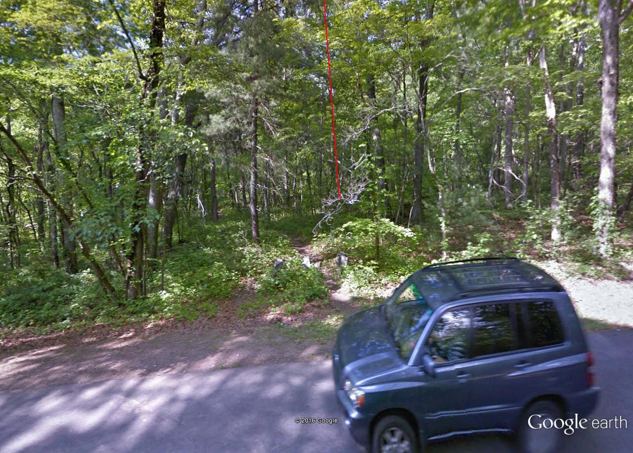
Gilligan’s Island is another Omega Point.

hand_bandaid
bent thumb

(to be continued)

Leave a comment

Filed under **VIRTUAL SL, Blue Mountain, Drink Lake, Herman Park, Heterocera, Illinois, Lake District, MAPS, Rubi, United Kingdom